 3.7Km
3.7Km
Note
 1.2Km
2.7Km
4.2Km
5.9Km
6.6Km
6.6Km
8.1Km
1.2Km
2.7Km
4.2Km
5.9Km
6.6Km
6.6Km
8.1Km
3.7Km
6Km
6.1Km
7.2Km
7.2Km
7.7Km
8.1Km
8.2Km
9.1Km
9.4Km
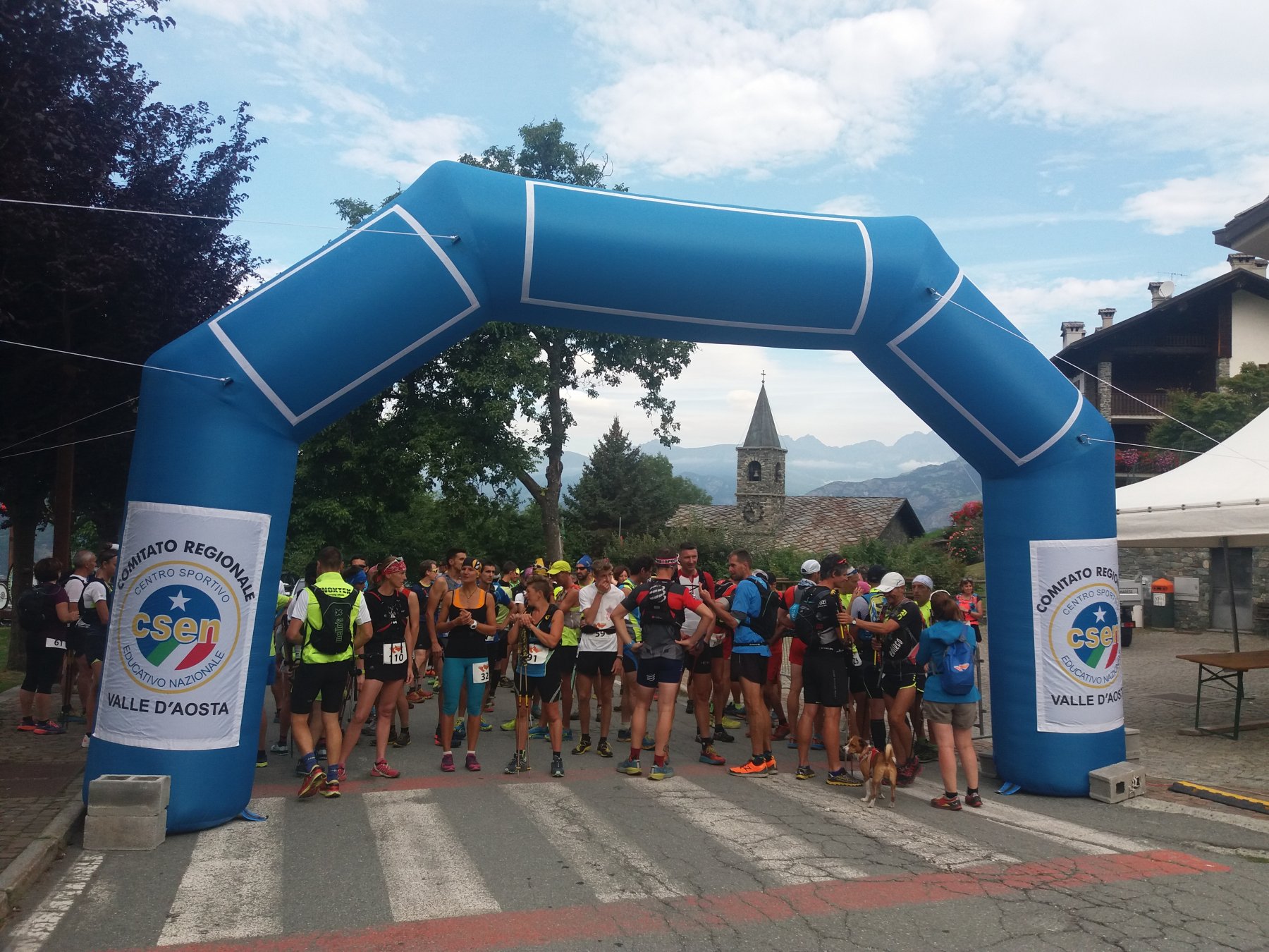
Questo percorso è meta, ogni anno, di una ormai consolidata gara podistica.
Descrizione
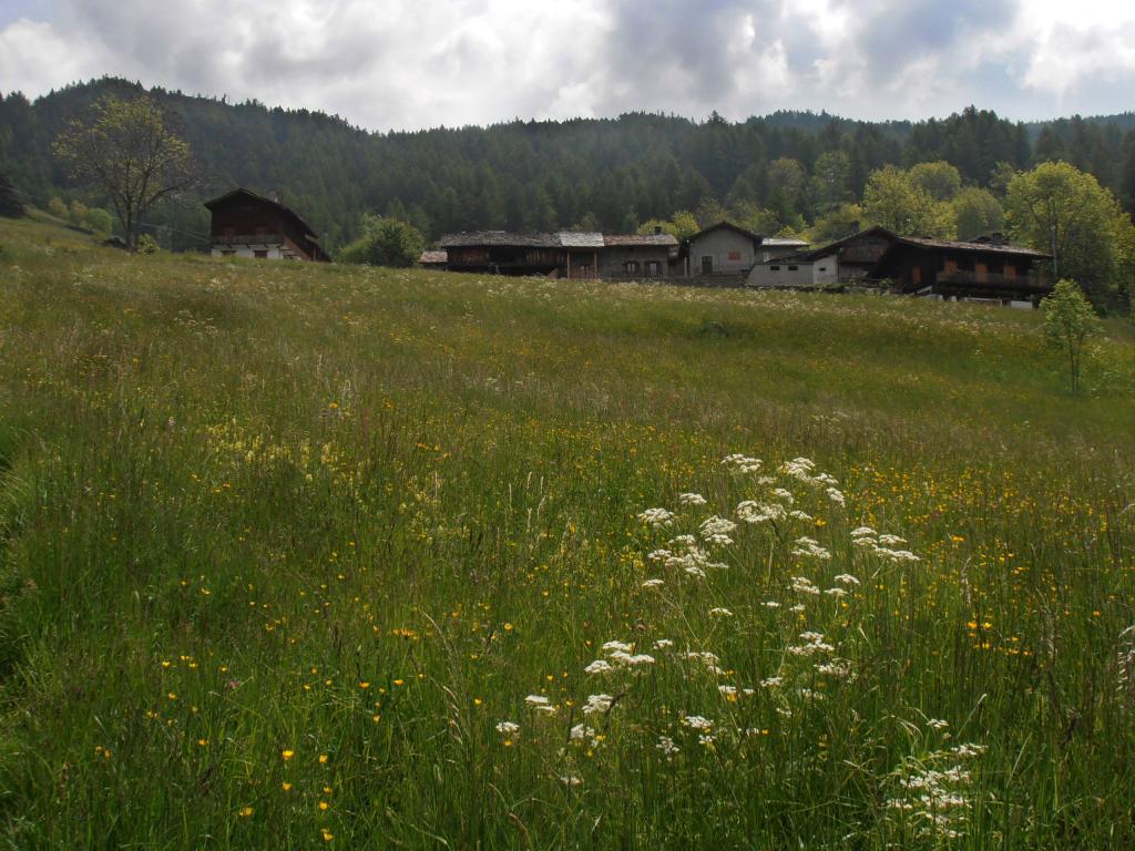
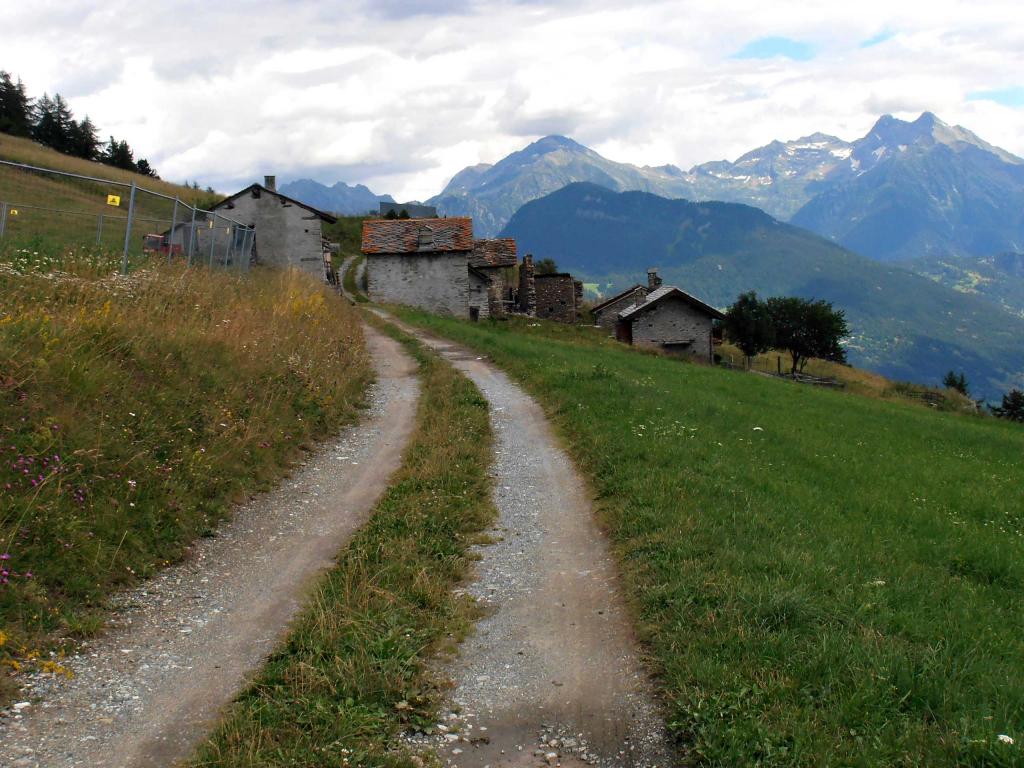
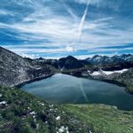
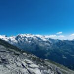
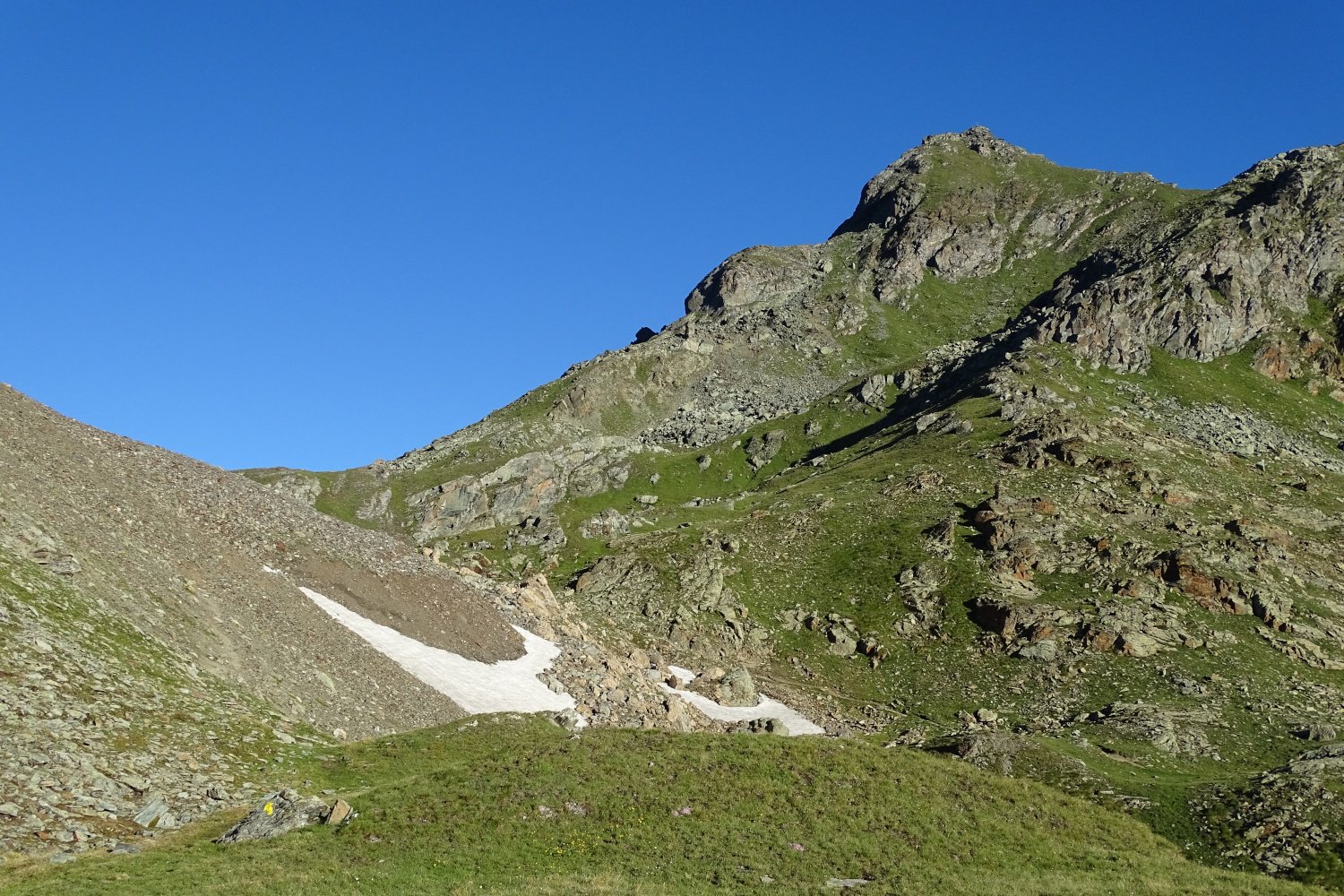
Questo itinerario parte dal piazzale delle terme e arriva al Col de Joux . Romillod è il primo villaggio che si raggiunge percorrendo un tratto della strada regionale del Col de Joux; da qui inizia la mulattiera che in circa 30 minuti porta al villaggio di Moron con la sua caratteristica chiesetta. Si prosegue poi fino al villaggio di Salirod. Il villaggio successivo è quello di Grand Rhun; da qui il percorso originale diventa un po’ più ripido e faticoso, comunque si può ovviare prendendo sulla destra, appena superato il villaggio, una strada trattorabile che fa un percorso più ampio ricollegandosi poi, più a monte, al sentiero originale. Si arriva così ad una piccola conca da dove partono gli impianti di sci e da qui in 10 minuti si arriva al Col de Joux.
- Cartografia:
- fondo valle 25.000 comunità montana monte Cervino
Nelle vicinanze Mappa
Itinerari
14/05/2012 AO, Saint-Vincent D+ 2700 m Tutte
Bassa Valle del Cervino (Anello della)
700m
02/10/2019 AO, Châtillon D+ 1985 m Sud
Zerbion (Monte) da Domianaz
 1.2Km
1.2Km
12/12/2015 AO, Chatillon D+ 100 m Varie
Ciclabile della dora, Pontey – Sarre
 2.7Km
2.7Km
07/09/2013 AO, Montjovet D+ 3450 m Tutte
Barbeston (Monte) da Montjovet, giro del parco del Monte Avic
 4.2Km
4.2Km
17/08/2019 AO, Emarese D+ 1400 m Varie
Trail Emarese
 5.9Km
5.9Km
16/10/2025 AO, Brusson D+ 850 m Varie
Comagna (Testa di) da Extrapieraz, anello per Col de Joux ed Emarese
6.6Km
13/07/2024 AO, Extrepiéraz D+ 1750 m Varie
Palasina (Colle) da Extrapieraz, anello per Mascognaz e Rifugio Arp
 6.6Km
6.6Km
25/08/2011 AO, Brusson D+ 1600 m Varie
Zerbion (Monte) da Extrepieraz, giro
6.6Km
20/07/2024 AO, Brusson D+ 2000 m Varie
Nana (Bec di) o Falconetta da Extrapieraz per il Ru Cortod, anello per il Rifugio Tournalin
 6.6Km
6.6Km
17/07/2016 AO, Ayas D+ 1334 m Sud-Est
Trécare (Becca) da Antagnod
 8.1Km
8.1Km
Servizi
3.7Km
6Km
Nigra Albergo
Montjovet
6.1Km
Da Vincenzo Ristorante
Montjovet
7.2Km
Lo scoiattolo Ristorante
La Magdeleine
7.2Km
Le petit monde Ristorante
Ayas
7.7Km
Lavesè Ristorante
Saint-denis
8.1Km
Le Solitaire Ristorante
Ayas
8.2Km
Laghetto Albergo
Brusson
9.1Km
Le Coin des Melezes B&B
Brusson
9.4Km