2.2Km
2.2Km
Note
 2.3Km
3.5Km
4Km
4Km
4Km
4Km
5.1Km
5.1Km
5.1Km
2.3Km
3.5Km
4Km
4Km
4Km
4Km
5.1Km
5.1Km
5.1Km
2.2Km
2.2Km
2.6Km
2.8Km
5.5Km
5.6Km
6.2Km
6.2Km
6.2Km
7Km
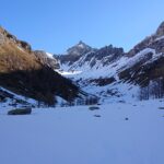
Itinerario a quote non elevate ed esposto completamente a Sud: la neve si trasforma e si scioglie rapidamente.
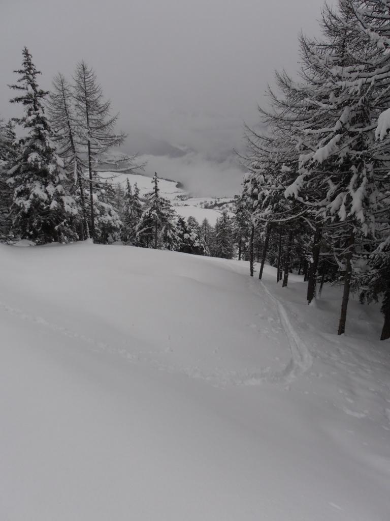
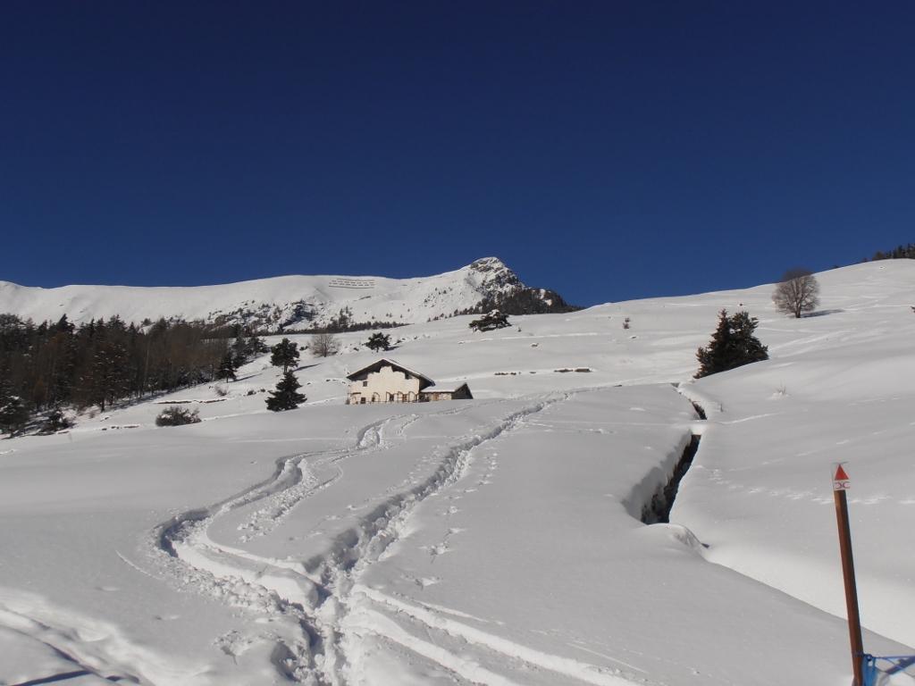
Per sciare agevolmente lungo la bella "pista" lasciata nel bosco dopo la realizzazione di un impianto idroelettrico è necessario un buon innevamento, al fine di superare sci ai piedi alcuni muri sopra e sotto la strada di servizio che taglia la "pista".
Avvicinamento
Per sciare agevolmente lungo la bella "pista" lasciata nel bosco dopo la realizzazione di un impianto idroelettrico è necessario un buon innevamento, al fine di superare sci ai piedi alcuni muri sopra e sotto la strada di servizio che taglia la "pista".
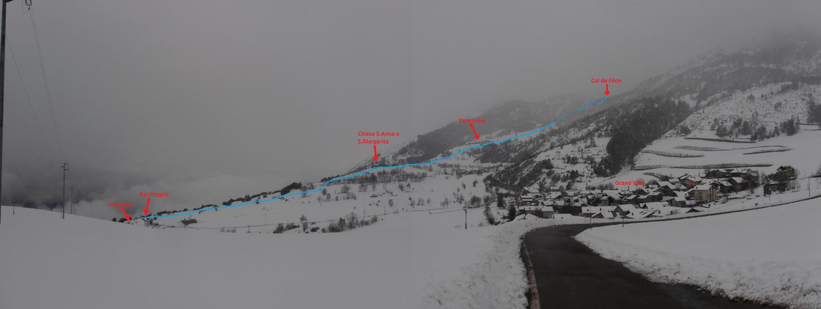
Da Champagne, frazione di Verrayes posta a valle lungo la SS26, risalire verso Verrayes capoluogo, superarlo e continuare a risalire verso Grand Villa-Champlong-Torgnon.
Giunti alla frazione Charrère cercare un parcheggio a bordo strada.
Descrizione
Giunti alla frazione Charrère cercare un parcheggio a bordo strada.
Da Charrère risalire le dolci ed ampie praterie in direzione dell’evidente chiesa di S.Anna e S.Margherita, posta su un promontorio panoramico.
Dalla chiesa risalire in falsopiano fino alla strada , attraversarla lungo due tornanti e poi giungere nei pressi di Vencorère con un ultimo strappo decisamente più ripido (Possibile anche risalire su pendii più dolci tenendosi a sx-Ovest).
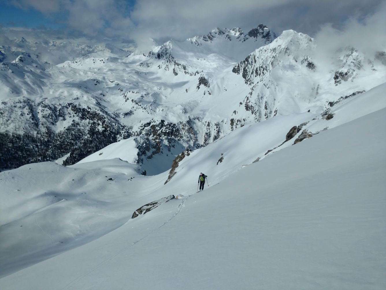
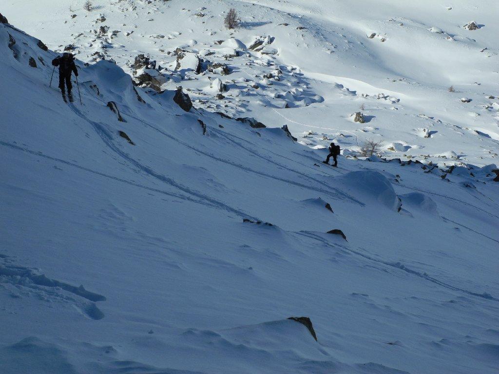
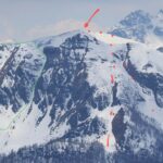
Da Vencorère è evidente, superato un ultimo pianoro, il tracciato nel bosco delle tubature (Interrate) di una centrale idroelettrica. Seguendo questo tracciato si giunge, risalendo pendii di media inclinazione e con diversi cambi di pendenza (Attraversamenti della strada di servizio), fino alla stazione alta della centrale idroelettrica.
Da quì si prosegue su stradina nel bosco fino al Col de Filon, dopo aver affiancato una cava posta poco sotto il colle stesso.
- Cartografia:
- Carta 1:25000 Valle Centrale - L'Escursionista Editore
Nelle vicinanze Mappa
Itinerari
12/01/2020 AO, Verrayes D+ 848 m BS Sud
Aver (Becca d’) da Champlong
 2.3Km
2.3Km
24/02/2014 AO, Verrayes D+ 650 m MS Sud
Bornes (Col des) dalle frazioni alte di Saint Denis
 3.5Km
3.5Km
20/04/2021 AO, Nus D+ 1503 m BSA, F+ Sud-Ovest
Redessau (Monte) da Praz
 4Km
4Km
04/04/2024 AO, Nus D+ 1450 m BS Ovest
Bianca (Cima) o Cime Blanche dalla valle di Saint Barthelemy
 4Km
4Km
03/02/2019 AO, Nus D+ 961 m BS Ovest
Miracolo (Monte) da les Fontaines
 4Km
4Km
26/05/2016 AO, Nus D+ 1767 m OSA Nord-Ovest
Luseney (Becca di) da Praz, traversata da Praz a La Ferrera
 4Km
4Km
30/12/2010 AO, Verrayes D+ 200 m MS Varie
Saint Evence (Cappella di) dal Colle di Saint Pantaleon
 5.1Km
5.1Km
31/03/2013 AO, Torgnon D+ 410 m MS Est
Fenetre (Col) da Chantornè
5.1Km
16/04/2013 AO, Verrayes D+ 8000 m OSA Tutte
Breithorn Occidentale, Dome de Cian, Becca d’Oren, Tete Blanche daTorgnon, traversata a Zermatt (6 gg)
 5.1Km
5.1Km
04/04/2025 AO, Torgnon D+ 850 m OSA, F+ Est
Meabé (Monte) Canali Est da Chantorné
 5.1Km
5.1Km
Servizi
2.2Km
2.2Km
Blanche Neige Bar
Verrayes
2.6Km
Tse fine e Marcel B&B
Verrayes
2.8Km
Maison Tersiva B&B
Nus
5.5Km
Chez Gaillard B&B
Fenis
5.6Km
Saint Barthelemy Albergo
Verrayes
6.2Km
Jour et Nuit Ristorante
Torgnon
6.2Km
Lavesè Ristorante
Saint-denis
6.2Km
Boule de neige B&B
Antey Saint Andrè
7Km