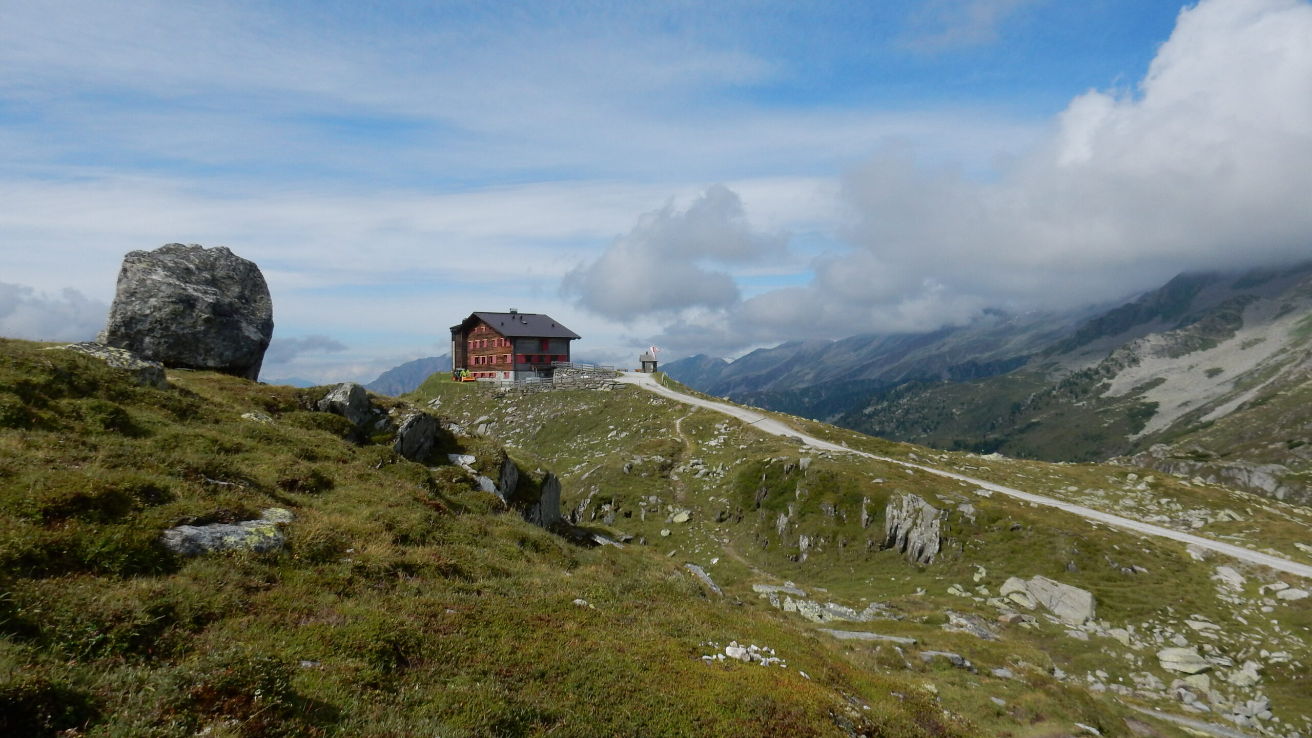
Dal parcheggio poco prima del 4° tornante 1800mt. si hanno 3 possibilità per salire alla Pfitscher-Joch-Haus 2275 mt.
La prima, con il sentiero 4 che inizia proprio sul 4°tornante che sale sulla sx.
La seconda, poco dopo il parcheggio ci si avvia per un breve tratto sulla strada prendendo a sx il sentiero 3 che sale diretto.
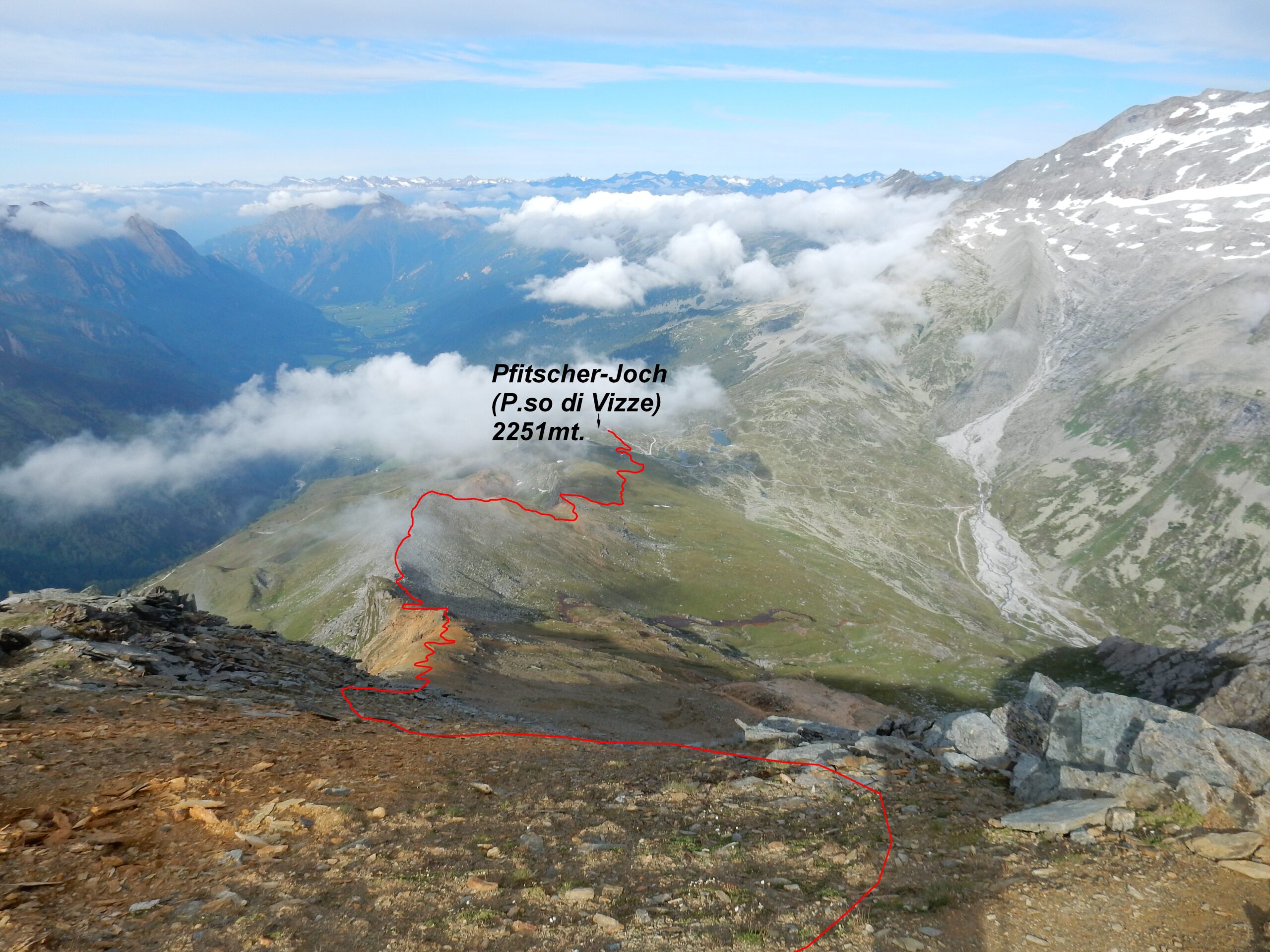
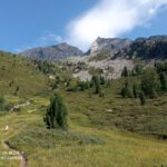
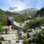
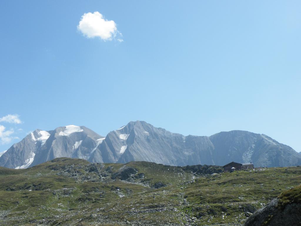
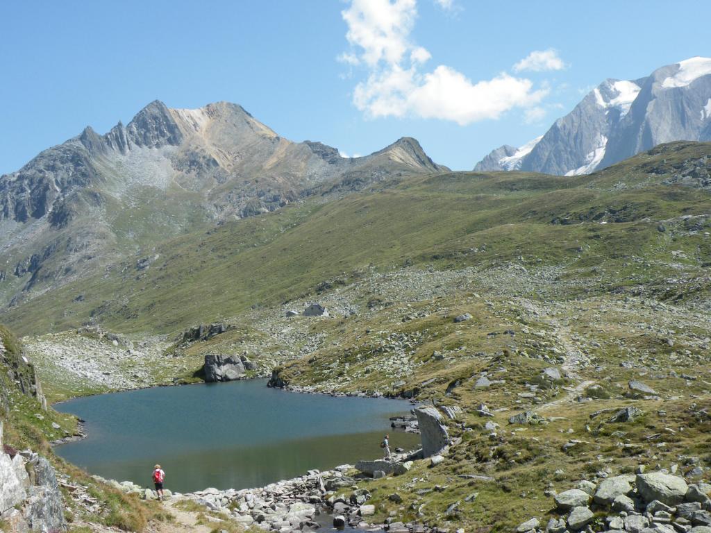
La terza, più lunga e forse meno consigliata prosegue lungamente sulla strada chiusa al traffico. Giunti alla Pfitscher-Joch-Haus 2275mt. si prendono le indicazioni Rotbachlspitze, con il sentiero contrassegnato si continua verso sud-est su terreno erboso, per poi passare al crinale ed alla base della montagna.
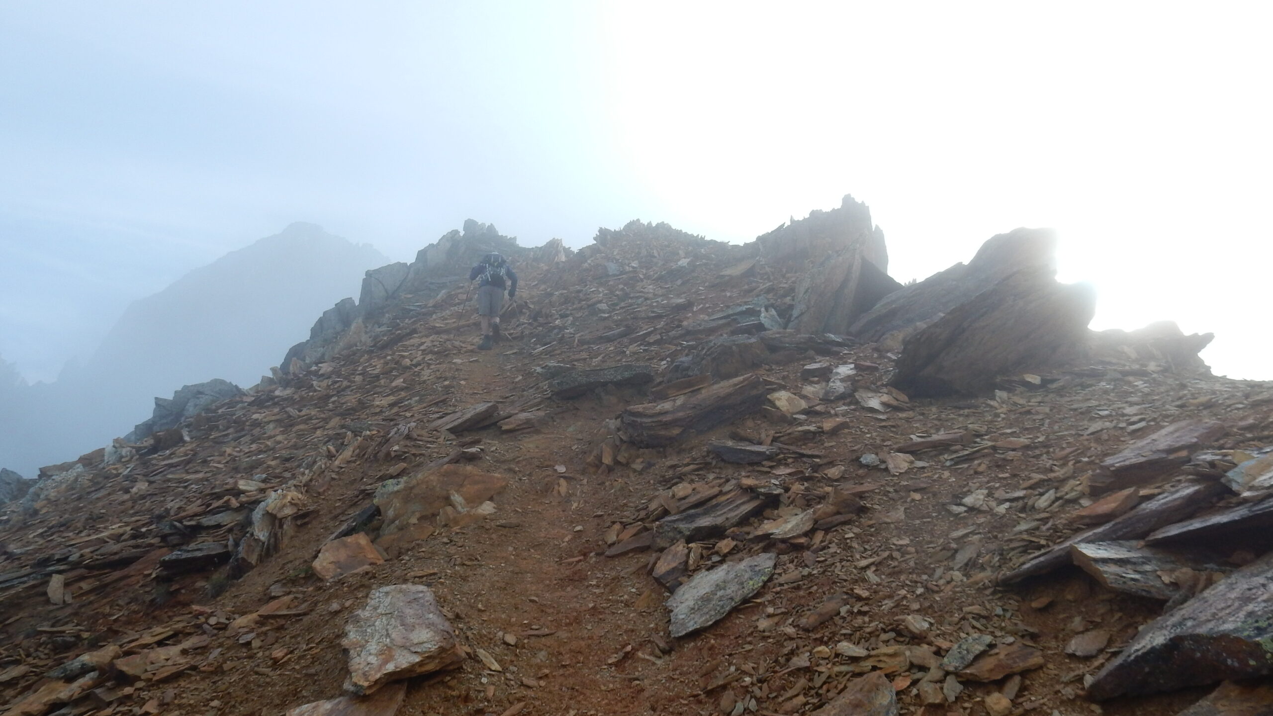
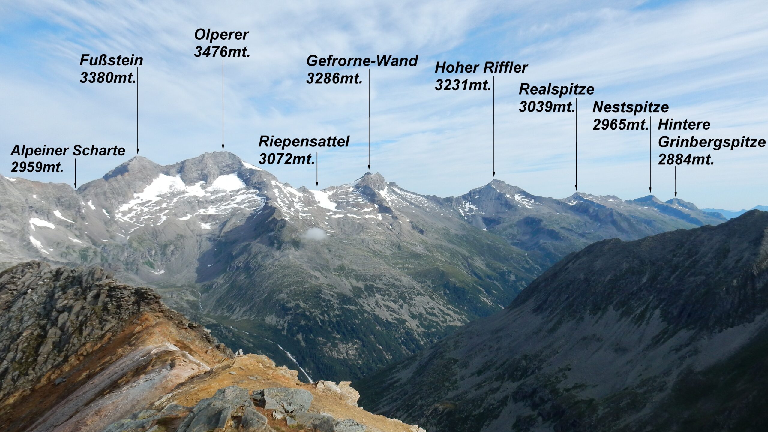
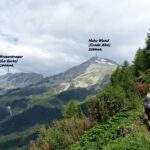
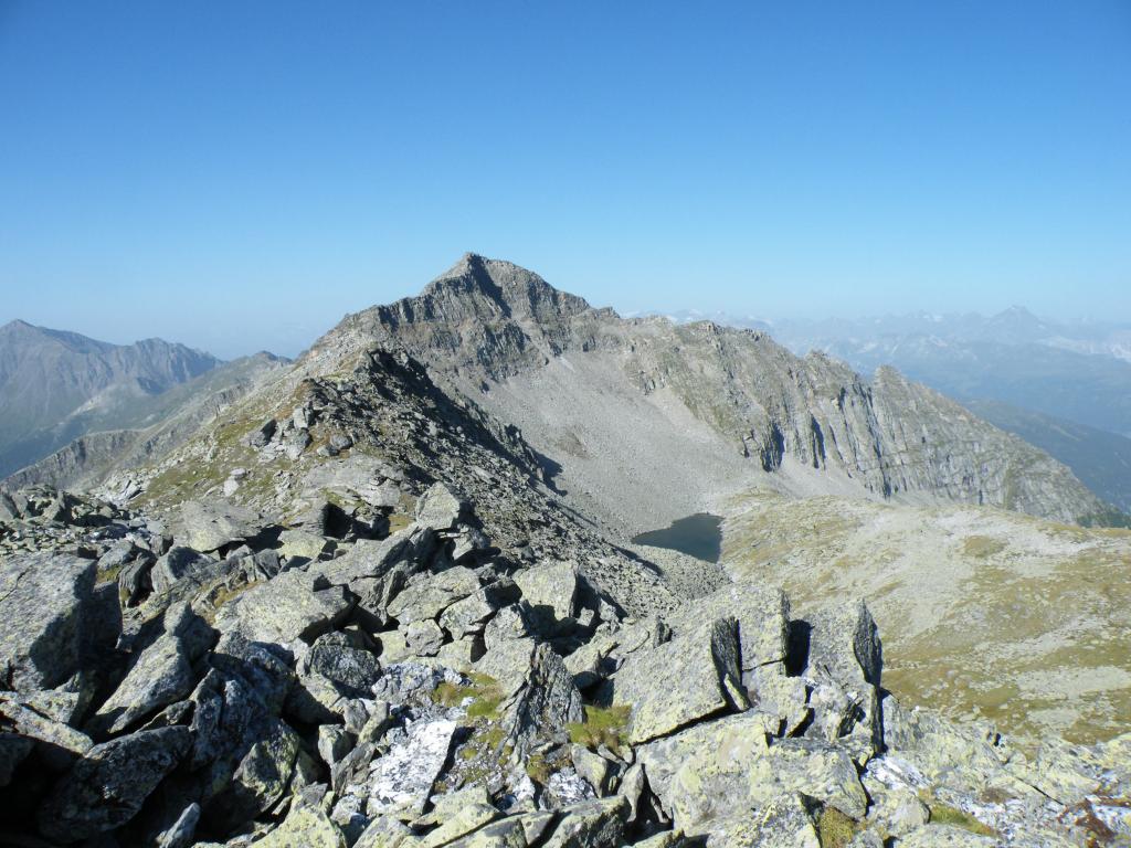
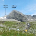
In ripida salita su ghiaioni rossastri, sfasciumi e blocchi si conquista la croce di vetta 2895 mt. Dalla cima grande panorama sul Gruppo del Gran Pilastro e altre cime della Zillertal.
Nelle vicinanze Mappa
Itinerari
Nusserkopf da Val di Vizze, anello per Passo di Vizze
 50m
50m
Zillertaler Alpen tappa 1: dal Passo di Vizze al Rifugio Venna alla Gerla (Landshuter Europahütte)
 50m
50m
Kraxentrager dalla Val di Vizze
Hochfeilerhütte da Val di Vizze
 1.3Km
1.3Km
Landshuter Hohenweg e Rifugio Europa dal Passo Vizze al Passo Vallaccia
 1.6Km
1.6Km
Vizze (Passo di) da Stein
 1.7Km
1.7Km
Europa (Rifugio) o Europahütte dal Passo di Vizze
 1.8Km
1.8Km
Zillertaler Alpen tappa 3: dalla Geraer Hütte al Tuxer Joch-Haus
Zillertaler Alpen tappa 2: dalla Europahütte alla Geraer Hütte
 7.4Km
7.4Km