 1.2Km
1.2Km
Note
 50m
50m
50m
50m
50m
50m
50m
50m
50m
50m
50m
50m
50m
50m
50m
50m
50m
50m
Percorso ben segnalato
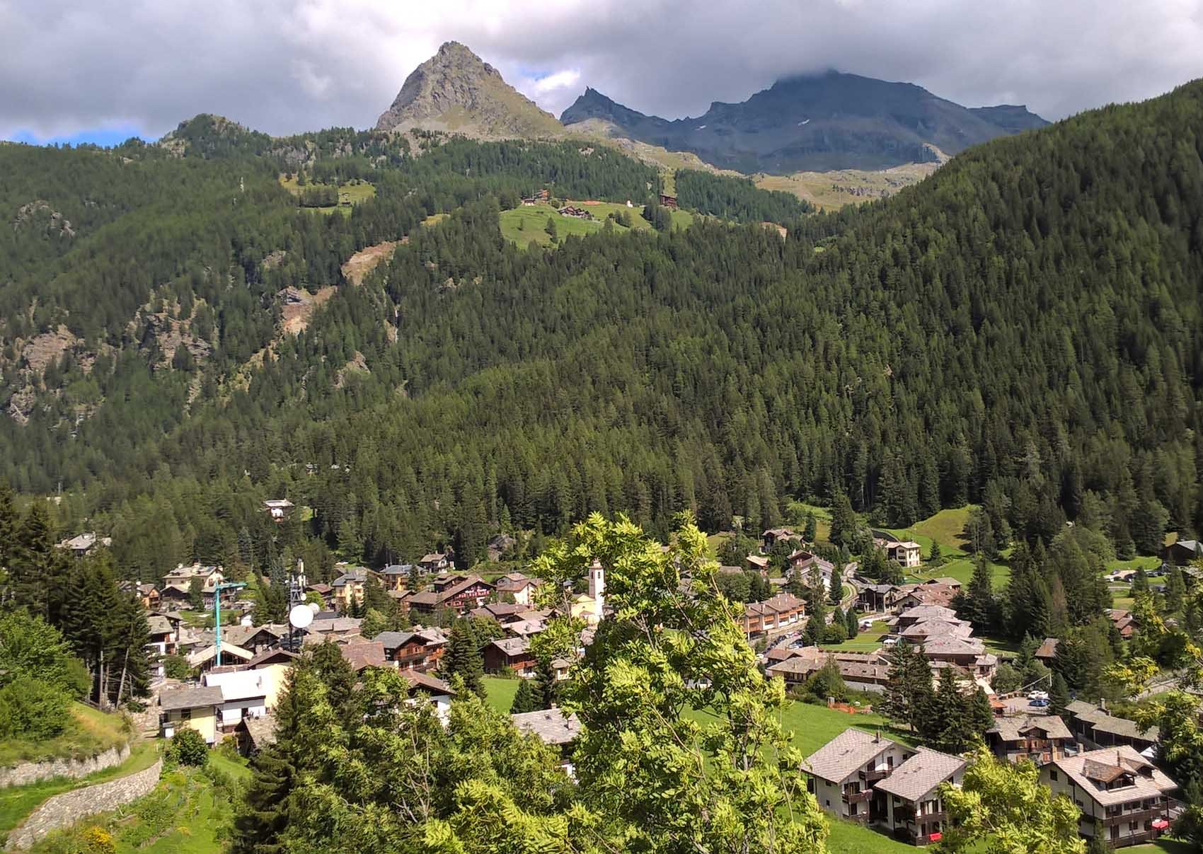
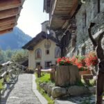
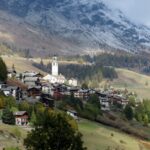
Avvicinamento
Autostrada Torino-Aosta, uscita a Verres, parcheggio alla partenza della seggiovia Crest
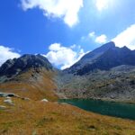
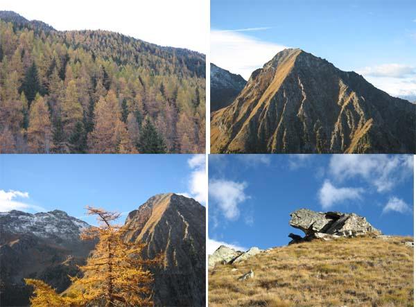
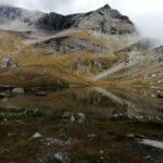
Descrizione
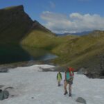
Si sale presso l’impianto fino ad arrivare al Rif. Vieux Crest.
Si continua sul numero 1, che coincide con il GSW ed il 13B.
Si passa per Sousun, 1976m, l’A. Ciarcerio, il Rif. Ferraro, 2066m.
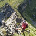
Si scende tramite l’1 a S. Jacques.
Da li’ si continua lungo il Torrente Evancon presso i campi di golf ed il pattinaggio.
- Cartografia:
- IGC: 108
Nelle vicinanze Mappa
Itinerari
13/08/2022 AO, Ayas D+ 1400 m EE Varie
Perrin (Punta) da Champoluc, anello Valloni Mascognaz e Cuneaz
 50m
50m
29/10/2006 AO, Ayas D+ 1000 m EE Sud
Nonna (Monte della) da Champoluc
 50m
50m
10/07/2025 AO, Ayas D+ 1210 m E Nord-Ovest
Pinter (Colle) da Champoluc
 50m
50m
24/08/2025 AO, Ayas D+ 1750 m EE Sud-Ovest
Grigia (Testa) da Champoluc
 50m
50m
16/08/2018 AO, Ayas D+ 1300 m EE Tutte
Ciarcerio (Lago) e Piani di Verra da Champoluc, anello per Pallenc, Nannaz, Saint-Jacques, Mascognaz,
 50m
50m
25/08/2023 AO, Champoluc D+ 600 m E Sud-Est
Crest, Mascognaz, Sousson da Champoluc, anello
 50m
50m
04/08/2024 AO, Champoluc D+ 700 m E Varie
Saler, Contenery e Ciarcerio (Laghi) da Champoluc
50m
11/07/2025 AO, Ayas D+ 1500 m EE Varie
Gran Cima da Champoluc, anello Valloni Mascognaz e Cuneaz
 50m
50m
05/07/2023 AO, Ayas D+ 1450 m EE/F Sud
Nonna (Monte della) e Monte Pezzei da Champoluc, anello per il Lago Perrin
 50m
50m
05/01/2025 AO, Ayas D+ 350 m T Varie
Magneaz e Antagnod (Frazioni) da Champoluc, anello
 50m
50m