3.9Km
3.9Km


Note
 1.8Km
1.8Km
1.8Km
1.8Km
3.2Km
3.2Km
3.2Km
3.2Km
3.2Km
3.6Km
1.8Km
1.8Km
1.8Km
1.8Km
3.2Km
3.2Km
3.2Km
3.2Km
3.2Km
3.6Km
3.9Km
3.9Km
3.9Km
4.5Km
4.6Km
6.9Km
7.1Km
7.1Km
7.2Km
7.3Km
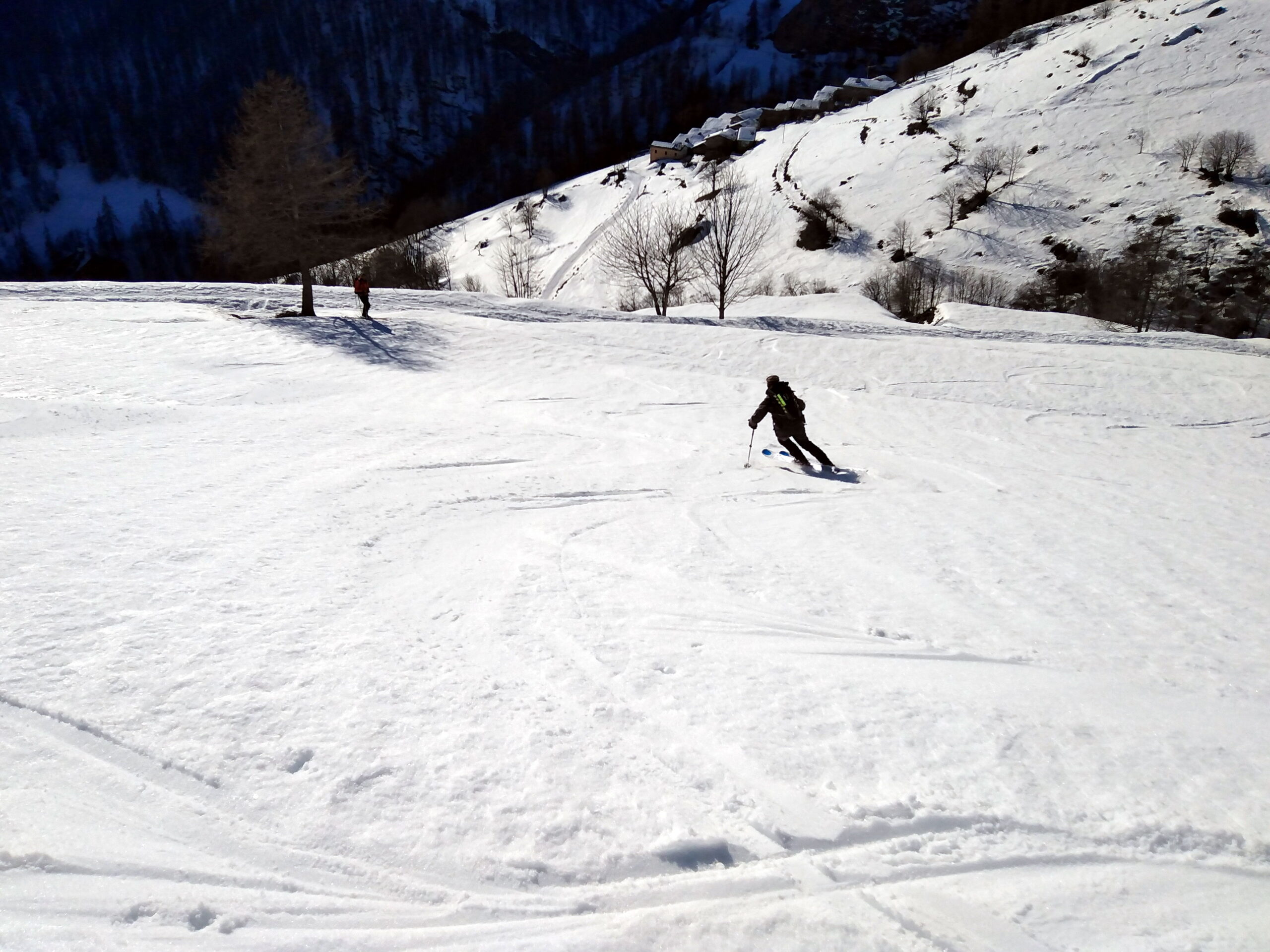
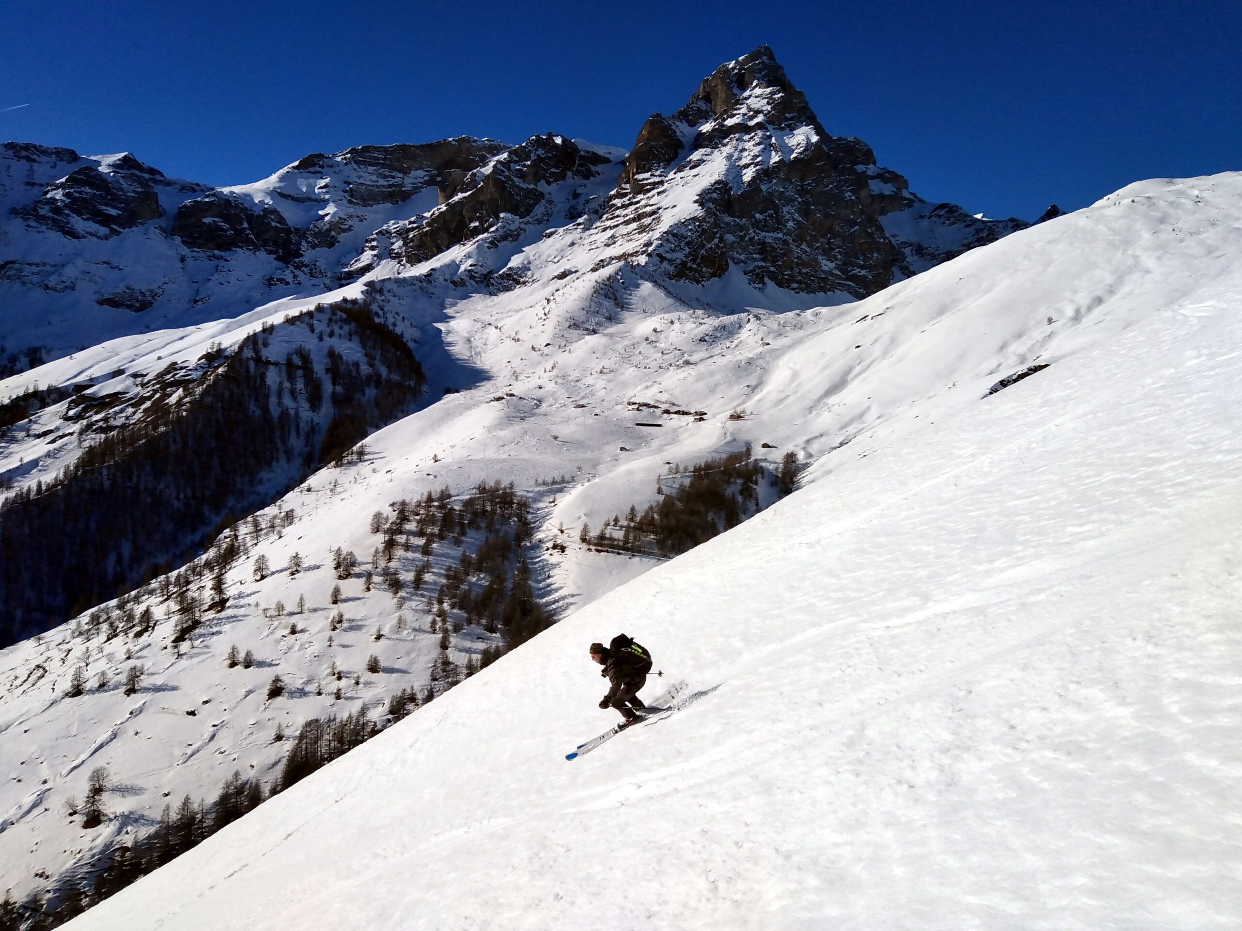
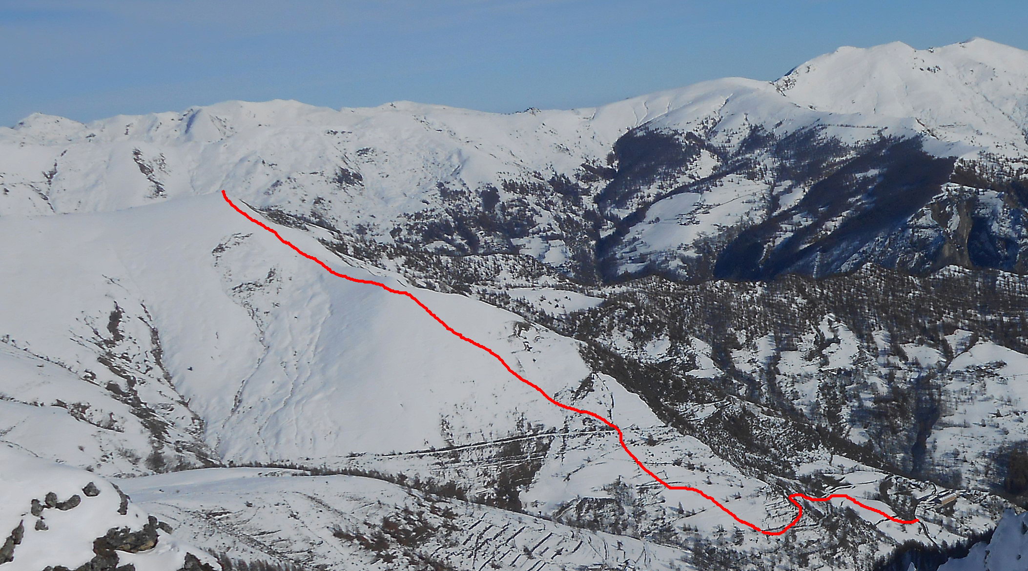
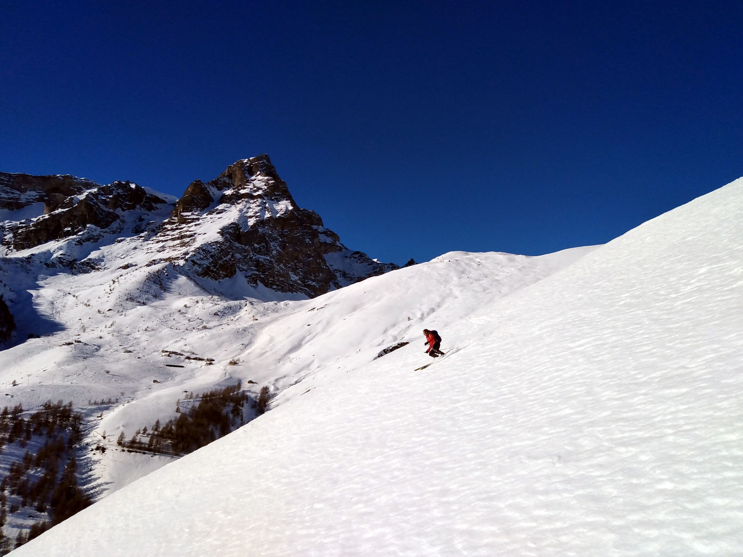
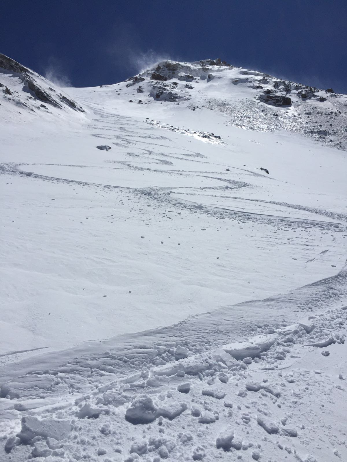
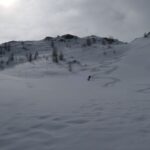
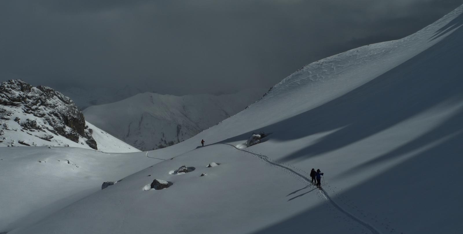
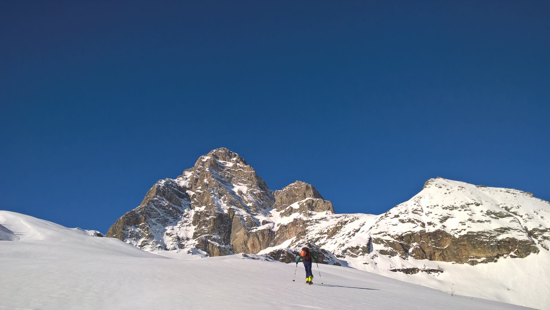
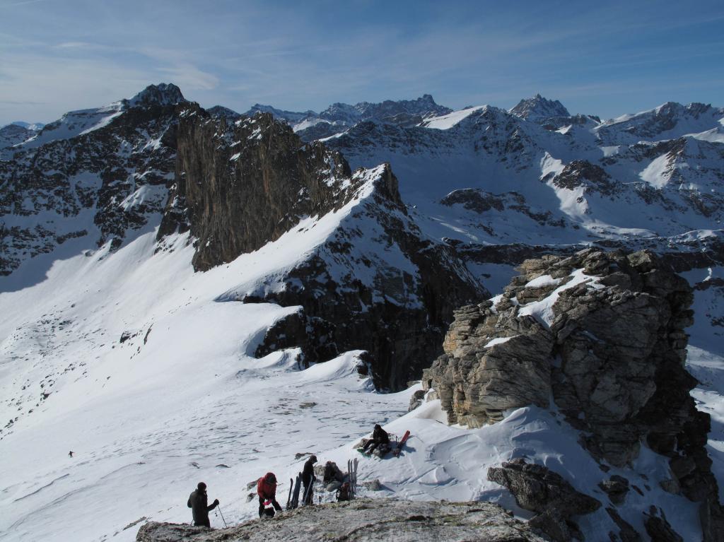
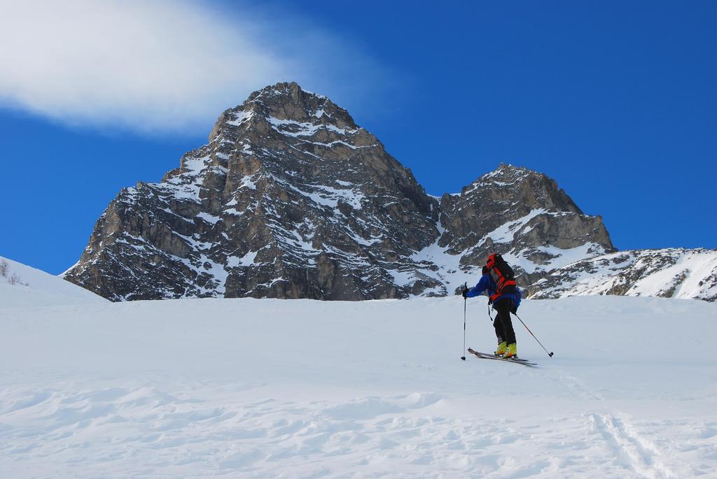
Traversata dal breve dislivello tuttavia interessante per la varierà dei paesaggi e dei panorami che offre. Sia l'ultimissimo tratto di salita che alcuni tratti di discesa richiedono neve sicura, da effettuarsi con neve primaverile.
Descrizione
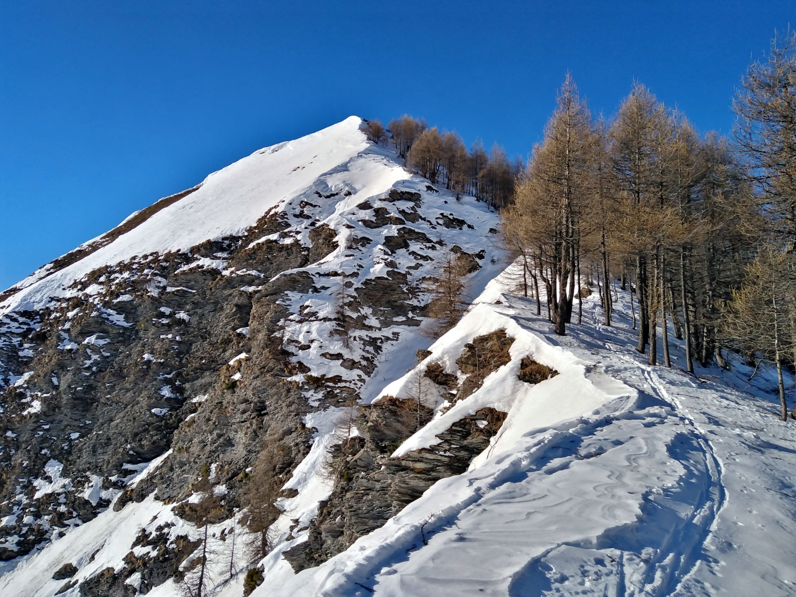
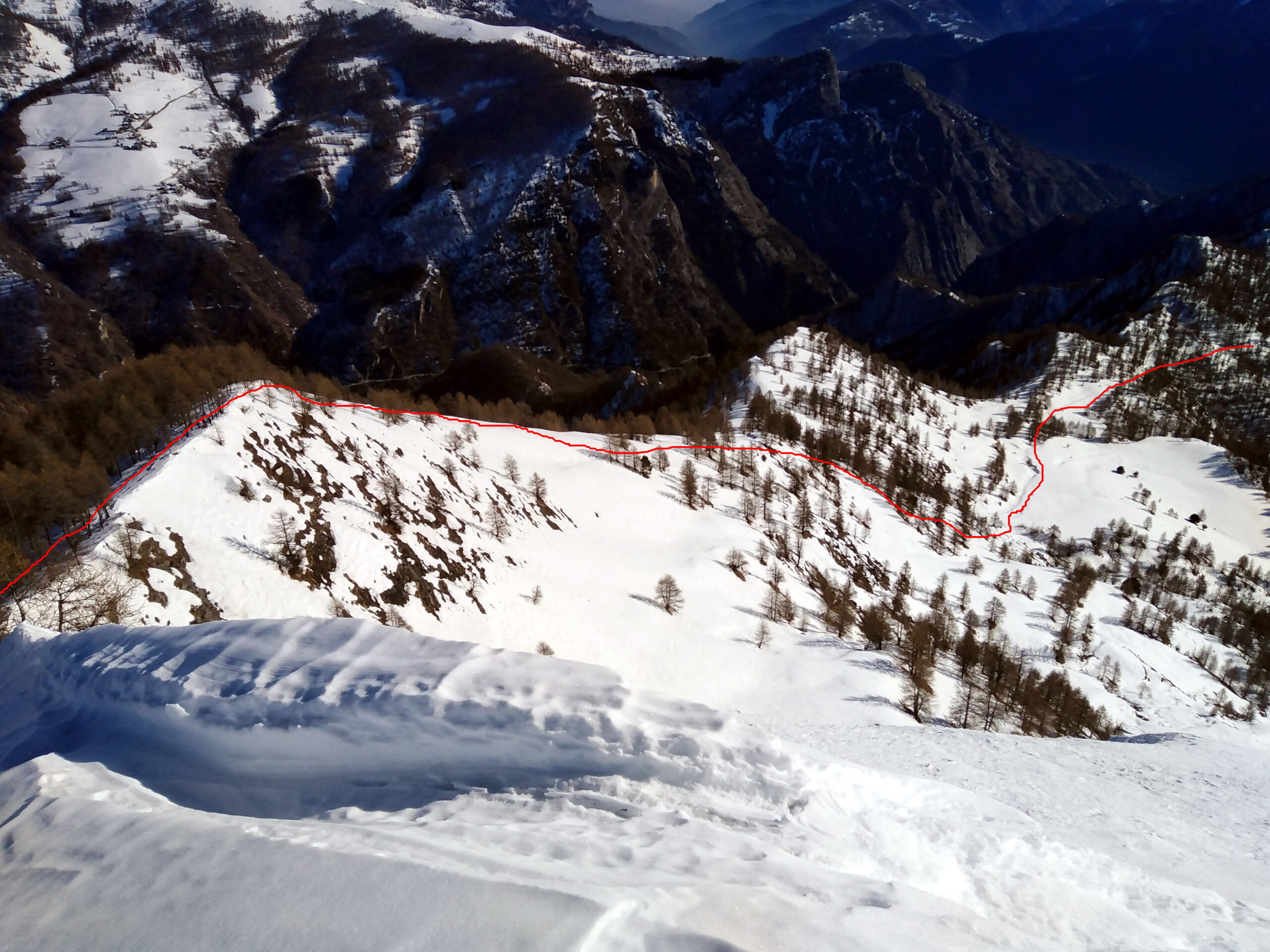
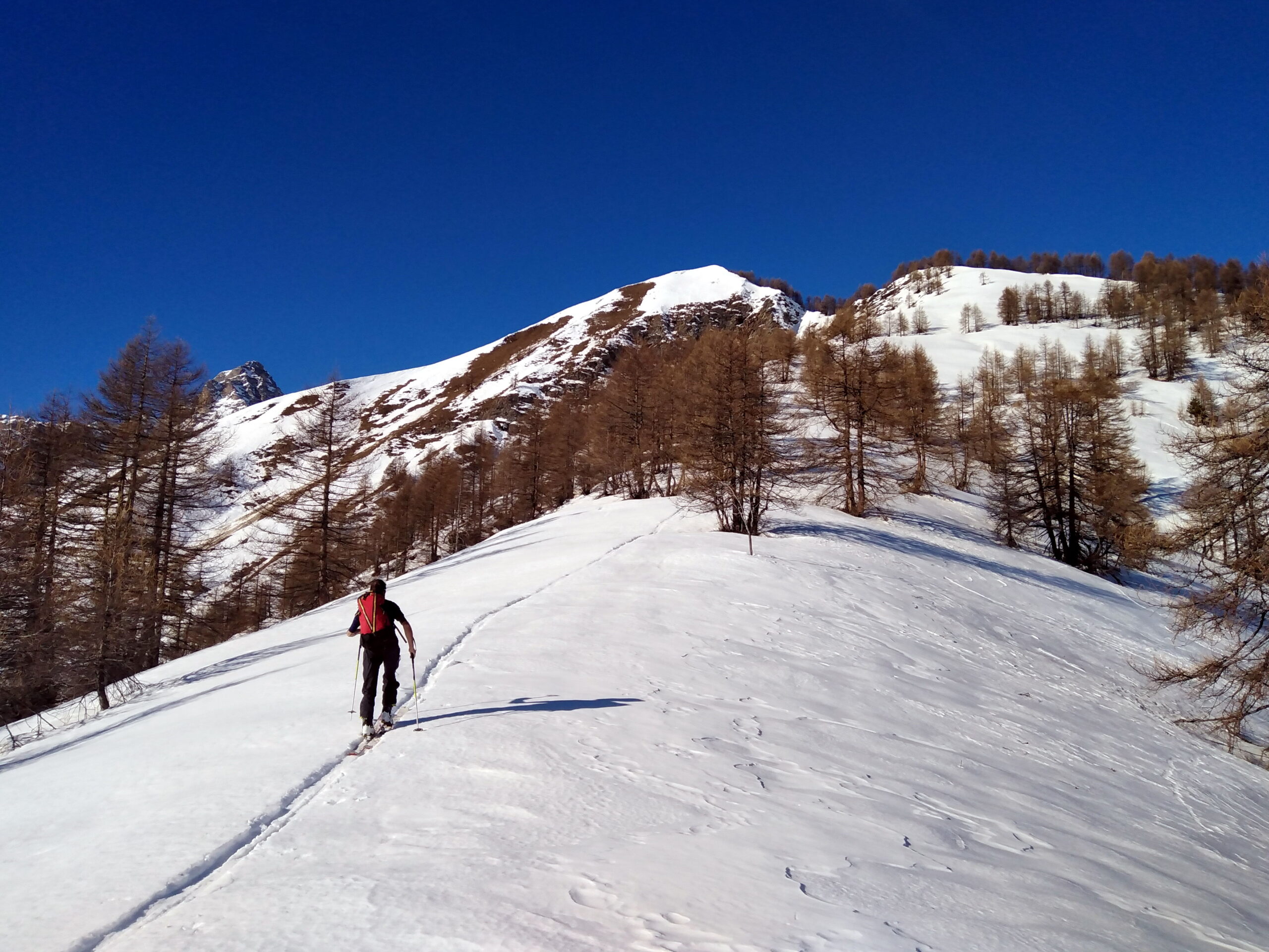
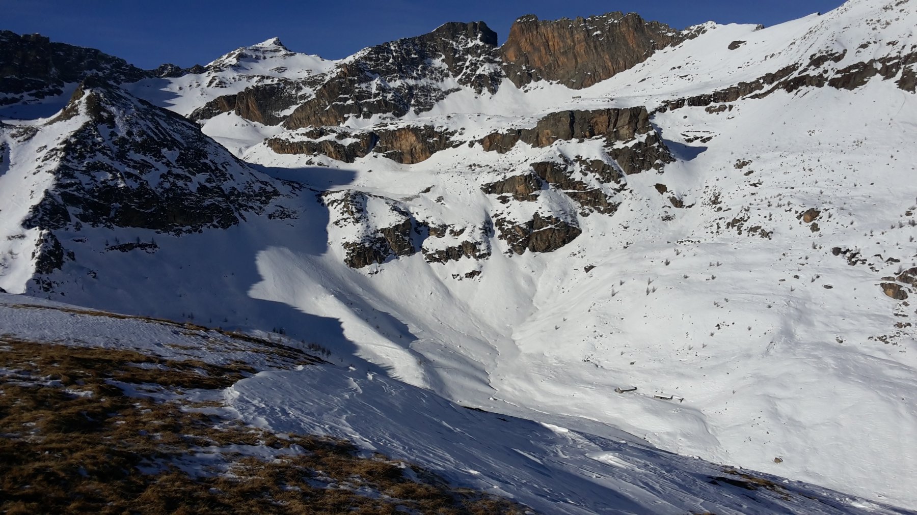
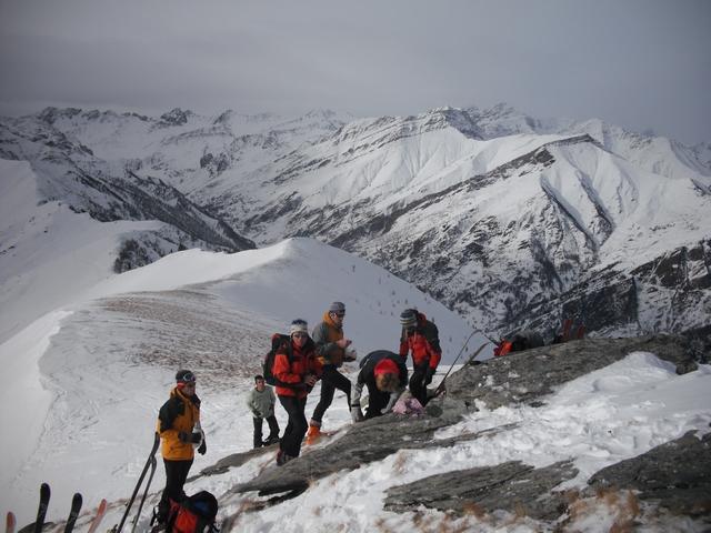
Da Ferrei di Prazzo seguire la strada – normalmente ingombra di neve – fino alla borgata De Costanzi. Da qui volgere a destra lungo un ripido pendio rivolto a sud ovest che porta in breve ad una pista forestale da seguire a sx in leggera ascesa fino all’intaglio del colle San Michele (1932 m). Da qui continuare la salita lasciando a sx un largo pianoro e raggiungere un’altra larga sella. Proseguire verso la dorsale ampia ed abbastanza ripida fino ad un tratto pianeggiante ed affilato che immette nel breve pendio finale rivolto a nord. Tenendo prevalentemente il filo toccare la cima (Croce e cartello segnaletico) per un pendio boscoso ma molto ripido.
Per la discesa dalla cima scendere costantemente lungo l’ampia cresta meridionale toccando il poco pronunciato colle Passetti (2089 m), continuare lungo la dorsale (costa Gerarda) che con splendida discesa porta ad incrociare la sterrata che scende dalle grange Chiotti. Seguirla verso est in leggera discesa e dopo aver attraversato alcune ripide combe si chiude l’anello nei pressi della borgata De Costanzi.
- Cartografia:
- Fraternali 1:25000 n.11 Alta Val Varaita Alta Val Maira
- Bibliografia:
- Charamaio Mai en Val Mairo di Bruno Rosano it. 13
Nelle vicinanze Mappa
Itinerari
02/02/2020 CN, Prazzo D+ 1320 m OSA Sud-Est
Chersogno (Monte) Diretta Canalone SE
 1.8Km
1.8Km
03/03/2026 CN, Prazzo D+ 1670 m BS Sud
Camoscere (Monte) da Campiglione
 1.8Km
1.8Km
24/02/2025 CN, Prazzo D+ 752 m MS Sud
Sarsassi (Punta) da Campiglione
 1.8Km
1.8Km
19/03/2024 CN, Prazzo D+ 1312 m BSA Tutte
Chersogno (Monte) da Campiglione
 1.8Km
1.8Km
02/04/2018 CN, Elva D+ 1319 m BS Sud-Est
Sagneres (Pic delle) da Chiosso
 3.2Km
3.2Km
04/01/2020 CN, Elva D+ 1300 m BS Sud
Camoscere (Monte) da Chiosso Superiore
 3.2Km
3.2Km
01/02/2026 CN, Elva D+ 1325 m BSA Nord-Est
Chersogno (Monte) da Chiosso
 3.2Km
3.2Km
04/02/2010 CN, Elva D+ 800 m MS Nord
Sarsassi (Punta) da Chiosso Superiore
 3.2Km
3.2Km
13/12/2020 CN, Elva D+ 700 m BS Nord
Ciarmetta (Punta) da Chiosso Superiore
 3.2Km
3.2Km
26/12/2019 CN, Elva D+ 954 m MS Sud
Morfreid (Monte) da Castes
 3.6Km
3.6Km
Servizi
3.9Km
3.9Km
Furnel e pirol Ristorante
Prazzo Superiore
3.9Km
Antica Osteria Albergo
Prazzo
4.5Km
Gentil Locanda Ristorante
Marmora
4.6Km
La sousto du col Rifugio
Elva
6.9Km
La Freidio B&B
Marmora
7.1Km
I giardini di Provenza Ristorante
Stroppo
7.1Km
Napoleonica Ristorante
Stroppo
7.2Km
Lou Pitavin Ristorante
Marmora
7.3Km