2.3Km
2.3Km
Avvicinamento
Storico
 50m
800m
800m
800m
800m
800m
850m
850m
850m
50m
800m
800m
800m
800m
800m
850m
850m
850m
A Courmayeur fare la rotonda per Dolonne e portarsi a ridosso dello sport center (stessi parcheggi per il sentiero attrezzato).
Descrizione
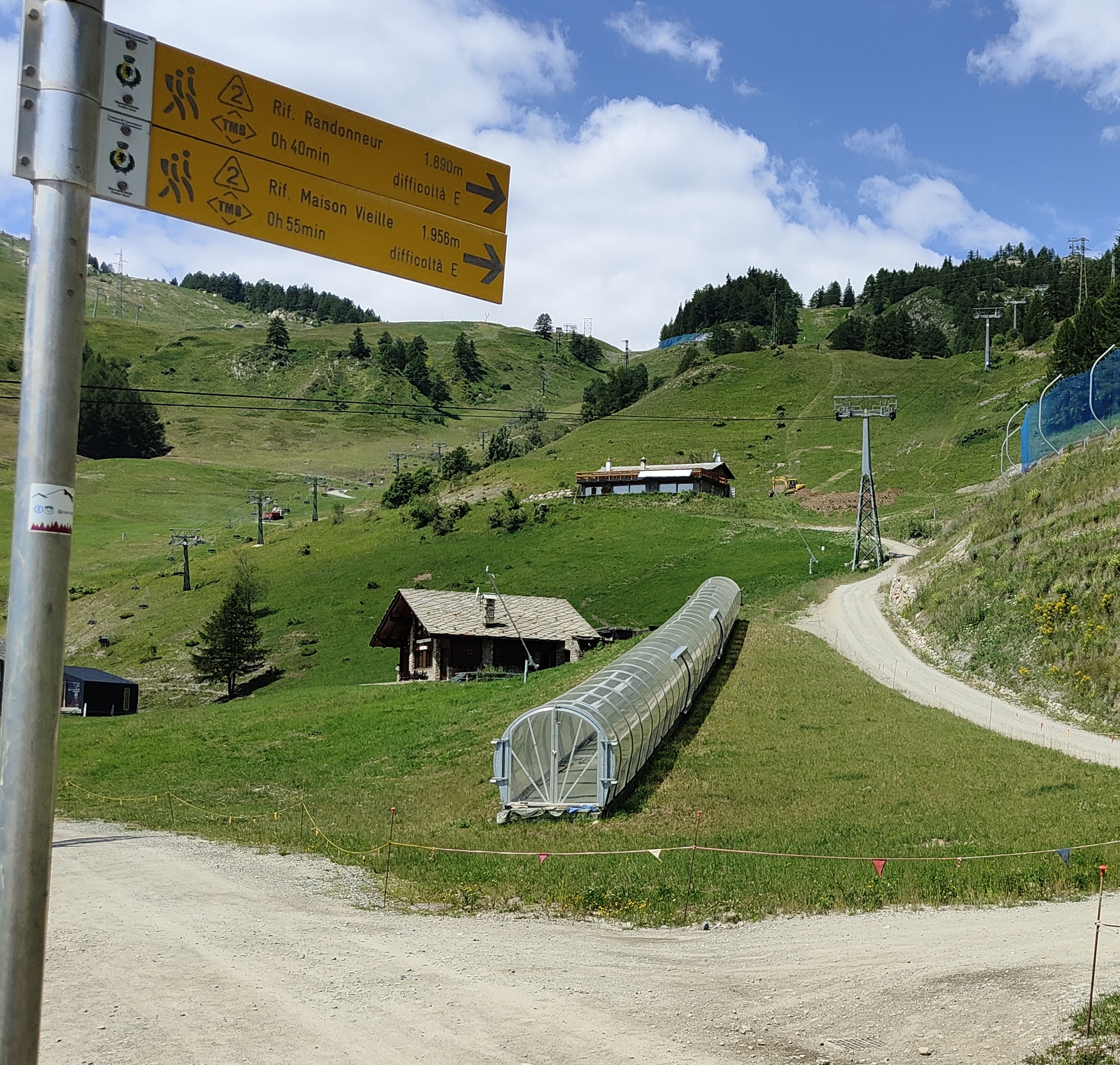
Parcheggiata la macchina andare a sinistra su asfalto (strada le villette) e incamminarsi nel centro di Dolonne dopo circa 350 MT si trova un bivio sulla destra si gira e si arriva a un lavatoio dove ci si può rifornire di acqua(l’ultima). Davanti a voi apparirà l’insegna del Fun Park e da li inizia la poderale che porta a Plan checrouit.Dopo 250 MT circa di asfalto ci si trova davanti la palina TMB2 che porta a Plan checrouit su sentiero,(si può anche fare su poderale fino al rifugio le Randonneur) bello ripido ricco di gradini in legno,questo sbuca senza margine di errore all’arrivo della funivia da Dolonne a Plan checrouit. Si continua su poderale finché si trova la palina che indica a destra sempre il rifugio Le Randonneur continuare su poderale dopo 2 tornanti circa ritroverete sulla destra il sentiero TMB2 prendetelo e arriverete alla partenza dello skilift chiamato Dzeulena . Superato questo girate a destra e quasi subito apparirà la palina 5a Mont Chetif da li inizia il sentiero che poi diventera’5 e vi guiderà fino in cima.
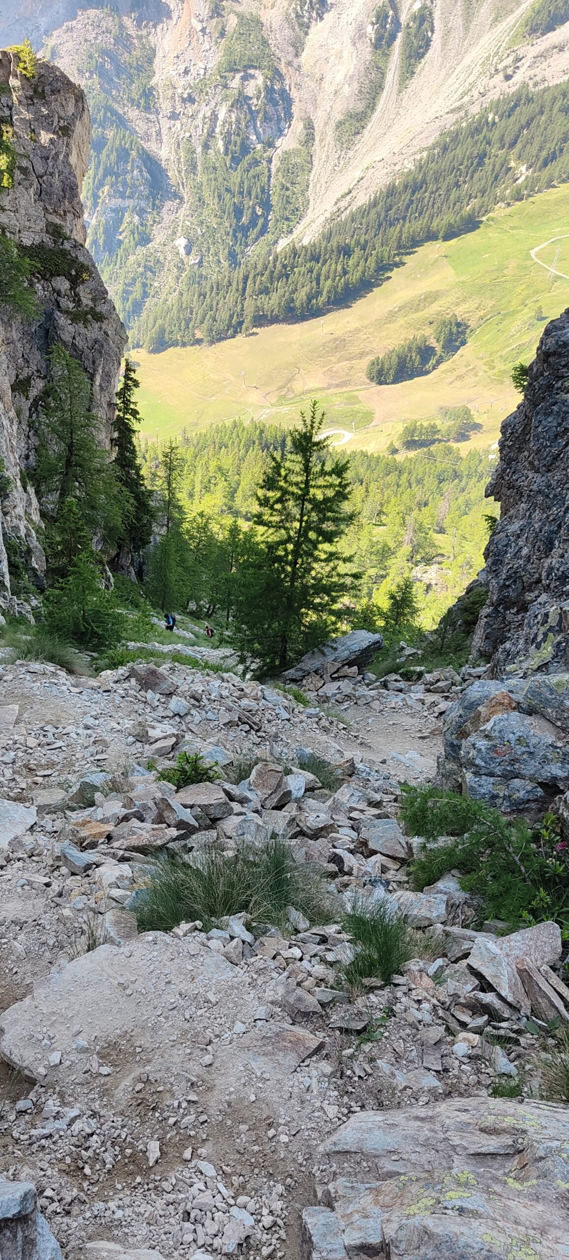
Bello ripido tutti quei gradini il lungo canalone nella gola.Questa descrizione è per chi come me vuole fare lo Chetif senza fare il sentiero attrezzato e con un dislivello doppio rispetto alla partenza da Zerotta(Val Veny).
Nelle vicinanze Mappa
Itinerari
12/08/2025 AO, Courmayeur D+ 1200 m EEA Sud-Est
Chetif (Mont) da Courmayeur per il sentiero attrezzato del Bicentenario CHIUSO PER MANUTENZIONE agosto 2025
 50m
50m
26/04/2012 AO, Courmayeur D+ 868 m E Sud
Courba Dzeleuna da Dolonne
 800m
800m
12/09/2018 AO, Courmayeur D+ 1440 m E Tutte
Arp (Col d’) da Dolonne, anello per Colle di Youla e discesa per la Val Veny
 800m
800m
10/08/2013 AO, Courmayeur D+ 1536 m E Varie
Arp (Testa d’) da Dolonne
 800m
800m
23/06/2009 AO, Courmayeur D+ 1450 m E Nord-Est
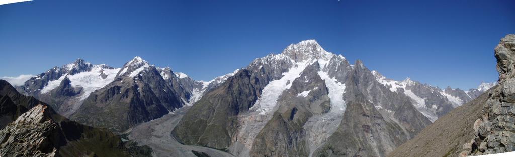
Youla (Col di) da Dolonne
 800m
800m
26/07/2024 AO, Courmayeur D+ 1616 m E Varie
Berrio Blanc (Colle del) da Dolonne, anello per Col de la Seigne, Col des Charmonts e Mont Fortin
 800m
800m
29/06/2025 AO, Courmayeur D+ 2382 m E Varie
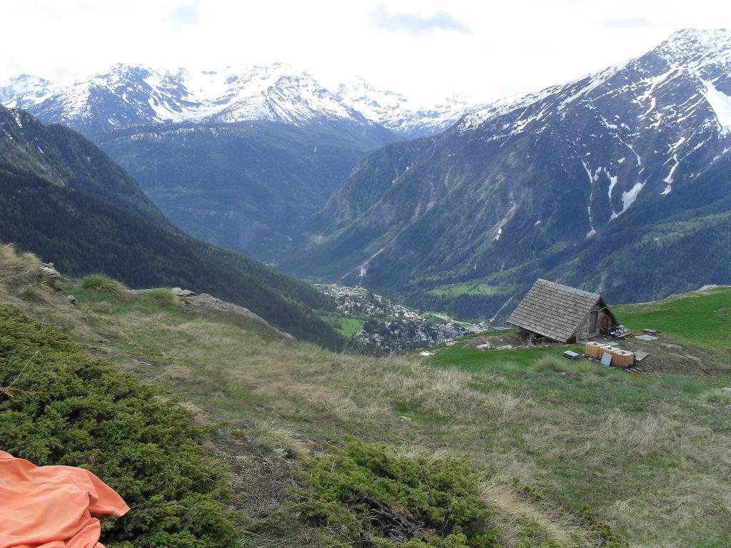
Giro del Monte Bianco da Courmayeur a La Fouly
 850m
850m
13/08/2023 AO, Courmayeur D+ 1515 m EE/F Varie
Cormet (Mont) da Courmayeur, traversata a Morgex
 850m
850m
01/07/2026 AO, Courmayeur D+ 3750 m EE Varie
Tor des Geants/Giro dei Giganti Tappa 1: Courmayeur – Valgrisenche
850m
10/07/2019 AO, Courmayeur D+ 1652 m E Nord-Ovest
Liconi (Testa di) da Courmayeur per la Val Sapin
 850m
850m