850m
850m

Avvicinamento
 50m
50m
50m
50m
50m
50m
50m
50m
50m
50m
50m
50m
50m
50m
50m
50m
50m
50m
50m
50m
.
Descrizione
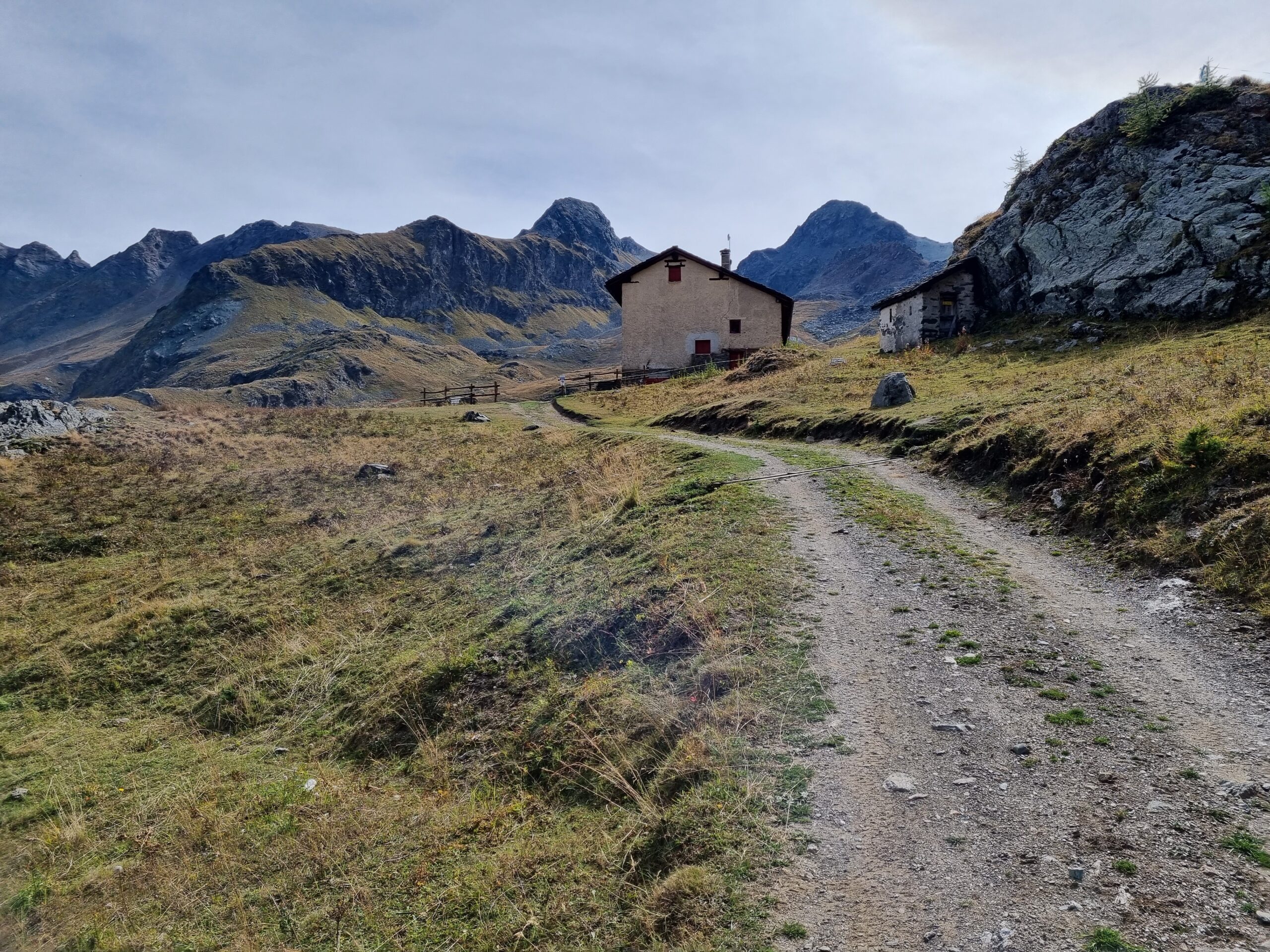
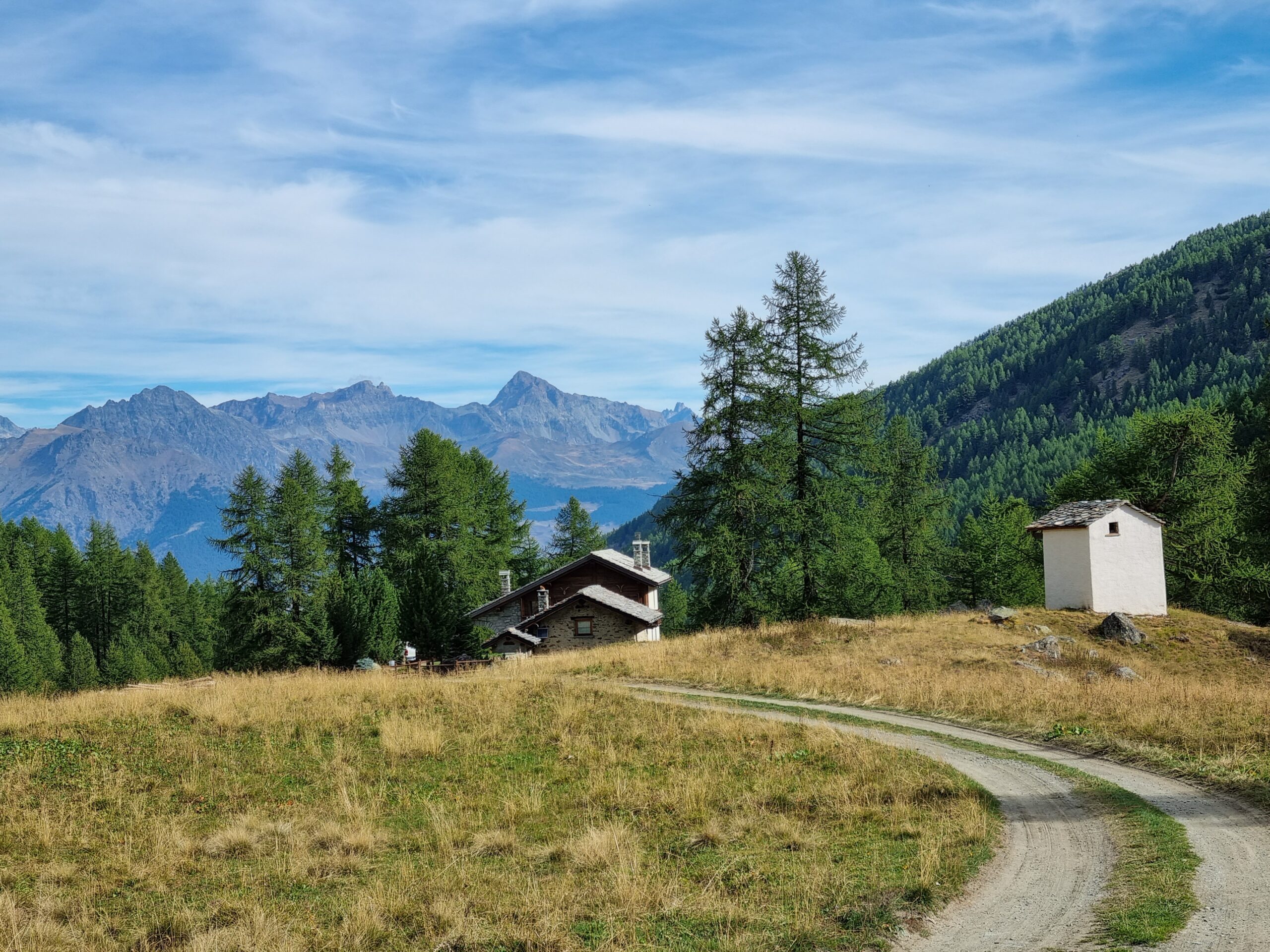
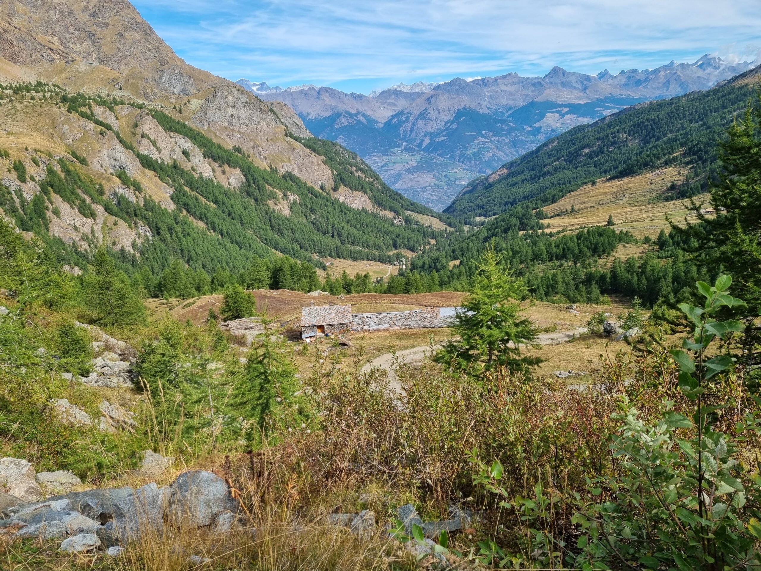
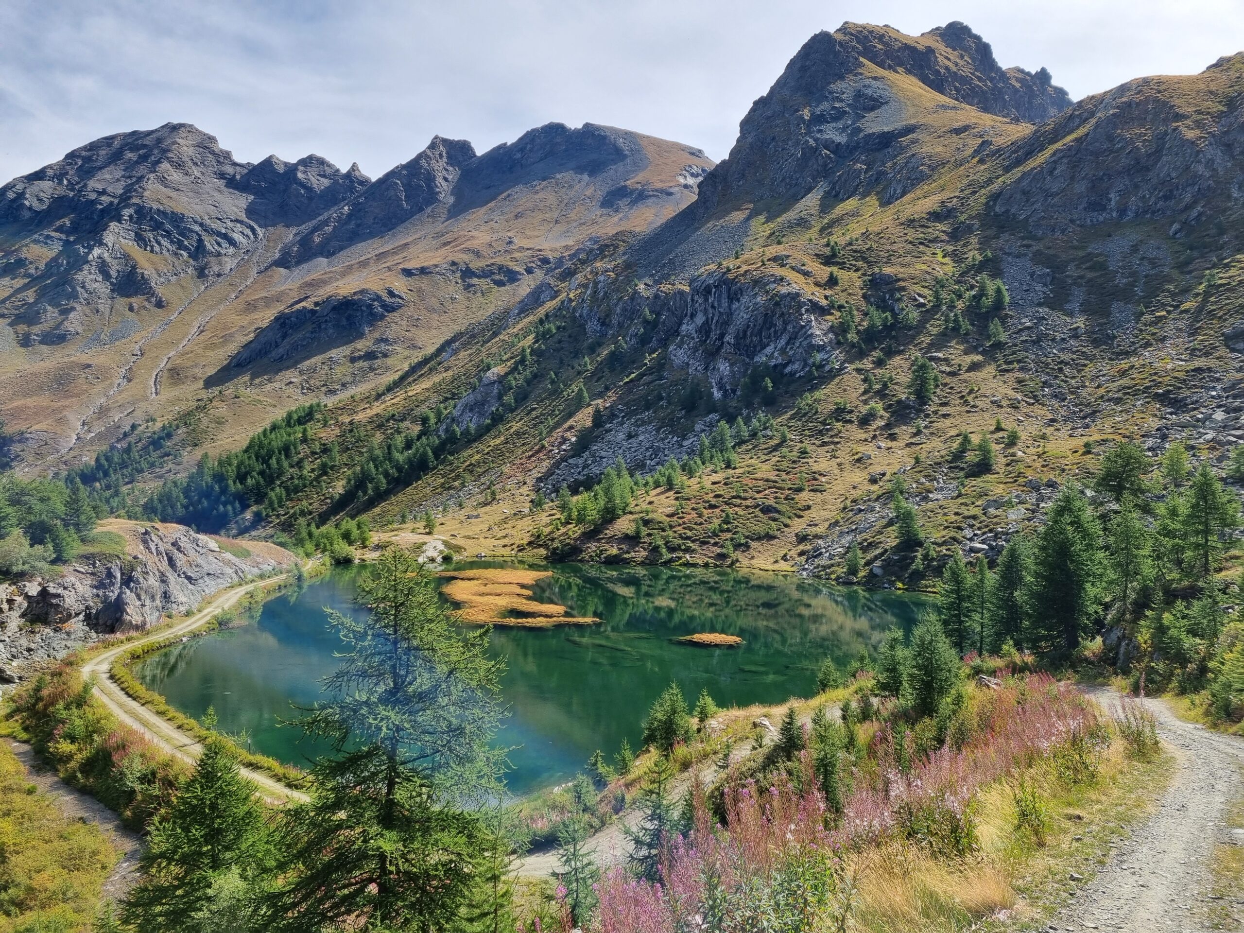
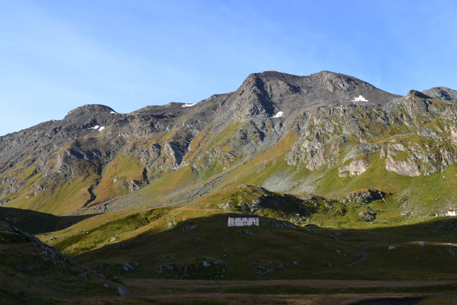
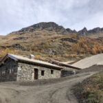
Parcheggiata l’auto in prossimita’ dell’area picnic di Druges Alta,si continua sulla poderale che include i sentieri n3-4 fino all’Alpe Grande Chaux dopo aver superato il Lago Layet.
Nelle vicinanze Mappa
Itinerari
30/08/2014 AO, Saint-Marcel D+ 2150 m EE Tutte
Leppe (Punta di) da Les Druges, anello valloni di Laures e Saint Marcel
 50m
50m
30/10/2022 AO, Saint-Marcel D+ 1350 m E Est
Saint Marcel (Colle di) da Les Druges
 50m
50m
08/08/2024 AO, Saint-Marcel D+ 1500 m E Nord
Petit Avert da Les Druges
 50m
50m
06/09/2025 AO, Saint-Marcel D+ 1293 m EE/F Nord
Plan Rue (Punta di) o Tita della Roa da les Druges
 50m
50m
11/07/2021 AO, Saint-Marcel D+ 2100 m EE Varie
Laures, Saint Marcel (Colli) da les Druges, giro del Monte Emilius per il Bivacco Menabreaz
 50m
50m
07/07/2023 AO, Saint-Marcel D+ 1400 m EE/F Varie
Grand Crete da Les Druges
 50m
50m
06/09/2025 AO, Saint-Marcel D+ 1000 m EE Tutte
Corquet (Monte) da Les Druges, anello per il Vallone di Saint Marcel
 50m
50m
06/05/2012 AO, Saint-Marcel D+ 223 m E Nord-Ovest
Servette (Miniera della) da les Druges
 50m
50m
09/08/2025 AO, Saint-Marcel D+ 1950 m EE Varie
Leppe (Colle di) da les Druges per i Valloni di Saint Marcel e di Laures
 50m
50m
15/01/2024 AO, Saint-Marcel D+ 1800 m EE Varie
Leppe (Punta di) da Les Druges
 50m
50m