 1.3Km
1.3Km
Note
 50m
50m
1.4Km
1.4Km
1.4Km
2.4Km
2.4Km
2.7Km
2.7Km
2.7Km
50m
50m
1.4Km
1.4Km
1.4Km
2.4Km
2.4Km
2.7Km
2.7Km
2.7Km
1.3Km
1.3Km
1.4Km
1.7Km
2.5Km
3.6Km
3.6Km
3.7Km
3.8Km
4.4Km
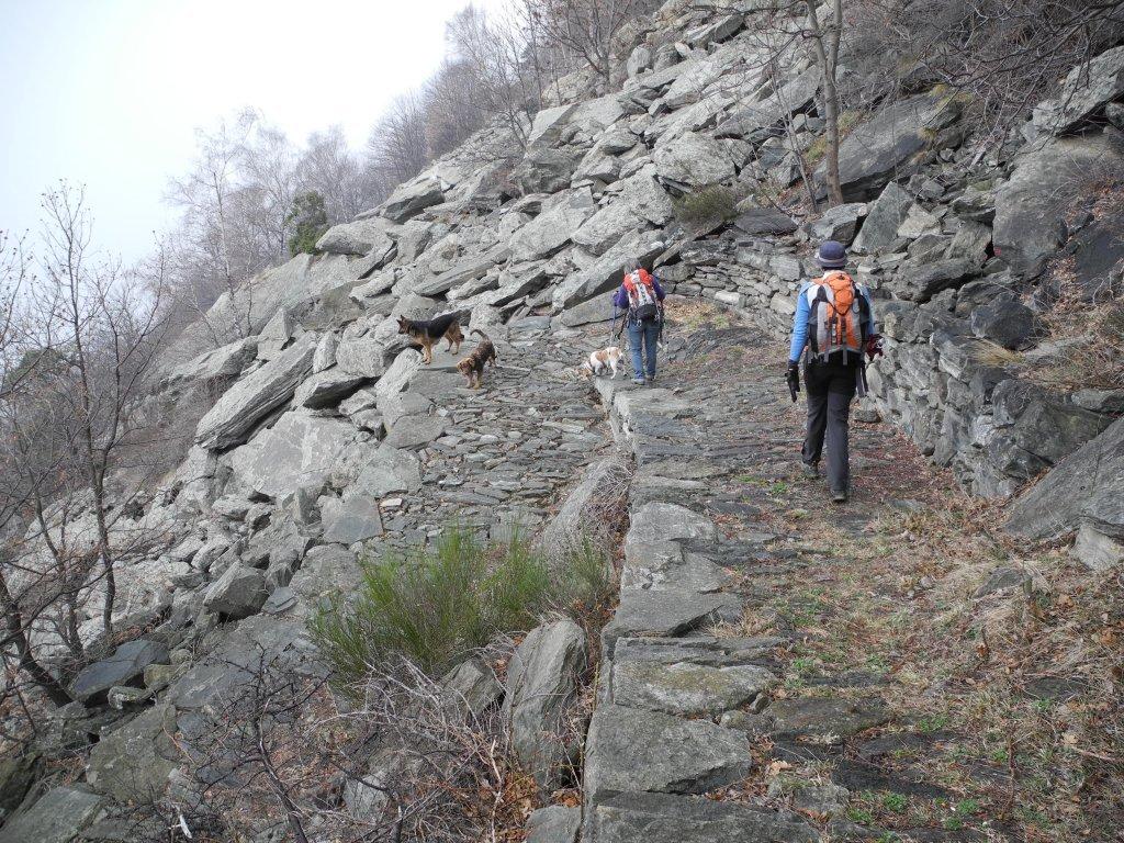
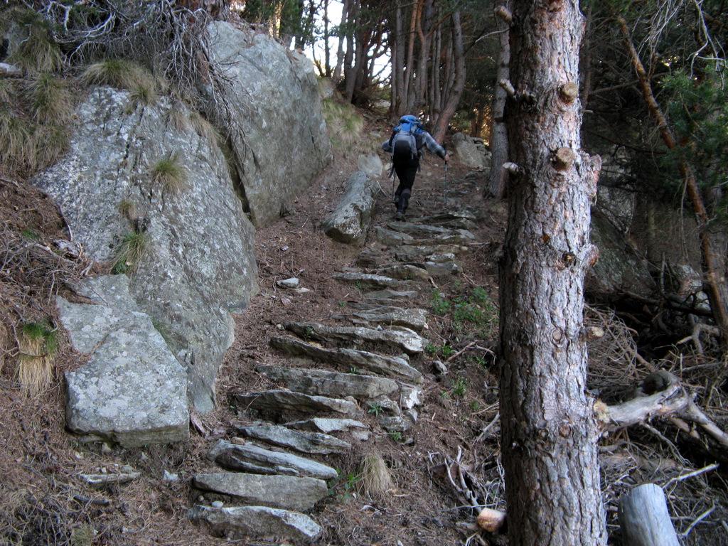
La gita non presenta vere difficolta', ma dopo il colle di chizzagne (1785) il sentiero diventa piu' brutto e di difficile reperimento, rendendo la gita piu' impegnativa (quasi EE)
Descrizione
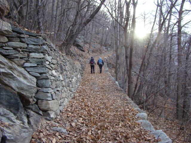
da Barmes si segue il sentiero N. 1 fino al colle Vert, come descritto in altro itinerario.
Dal colle si prende la strada che porta fino all alpe Seura (1550). dall’Alpe si prosegue sulla stradina (con a fianco tubi dell’acqua) che in falsopiano prosegue fino al punto in cui si gira a destra e per bel sentiero nel bosco scuro si arriva al colle Chizzagne (1785).
Al colle si gira a sx e si segue la traccia di sentiero, non sempre evidente, che sale alternatamente sui due versanti, fino ad arrivare al Champussin (2163).
discesa per l’itinerario di salita.
- Cartografia:
- L'escursionista N. 11
Nelle vicinanze Mappa
Itinerari
27/04/2022 AO, Arnad D+ 1200 m E Sud-Ovest
Vert (Col) da Barmes, anello per Salè e Avieil
 50m
50m
27/11/2022 AO, Arnad D+ 1070 m E Sud
Vert (Col) da Barmes, anello per Avieil e Prouve
 50m
50m
10/04/2022 AO, Arnad D+ 184 m E Nord-Est
Machaby (Corma di) da Arnad
 1.4Km
1.4Km
18/11/2023 AO, Arnad D+ 1144 m E Varie
Cammino Balteo tappa n.5 da Arnad a Challand Saint Victor
 1.4Km
1.4Km
24/03/2024 AO, Arnad D+ 1000 m E Sud-Ovest
Echallogne (Frazione) da Arnad, anello
 1.4Km
1.4Km
09/11/2025 AO, Arnad D+ 1750 m EE Varie
Aquila (Monte) da Prè per Praz Ussel e il Col Chizzagne
 2.4Km
2.4Km
02/05/2008 AO, Arnad D+ 729 m E Sud
Seura (Alpe) da Prè, anello per Fornelle, Col Vert, Pratsse, Alpe Seura
 2.4Km
2.4Km
17/03/2012 AO, Arnad D+ 850 m E Sud
Echallogne (Tour di) da Chamgraffion
 2.7Km
2.7Km
28/04/2023 AO, Arnad D+ 1650 m EE Sud-Ovest
Chiva (Col de) da Vacheres
 2.7Km
2.7Km
17/09/2021 AO, Arnad D+ 1650 m E Sud
Pierres Blanches (Cime) o Pietre Bianche da Vacheres, anello per Echallogne e Arsinnes
 2.7Km
2.7Km
Servizi
1.3Km
1.3Km
Des amies Ristorante
Arnad
1.4Km
Dell’Isola Ristorante
Arnad
1.7Km
La Kiuva Ristorante
Arnad
2.5Km
L’Arcaden Ristorante
Arnad
3.6Km
Lo dzerby Ristorante
Arnad
3.6Km
Forte di Machaby Rifugio
Arnad
3.7Km
La Chemin de la Luge Ristorante
Hone 3.8Km
3.8Km
Trattoria Rosina Bar
Hone
4.4Km