1.2Km
1.2Km
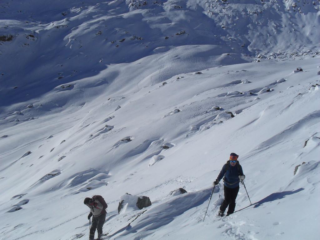
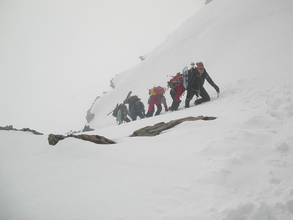
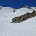
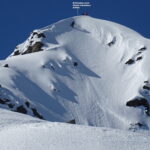
Avvicinamento
 50m
50m
50m
50m
50m
50m
750m
750m
750m
750m
50m
50m
50m
50m
50m
50m
750m
750m
750m
750m
1.2Km
3.1Km
3.2Km
6.2Km
8.6Km
8.9Km
8.9Km
9.1Km
10Km
,
Descrizione
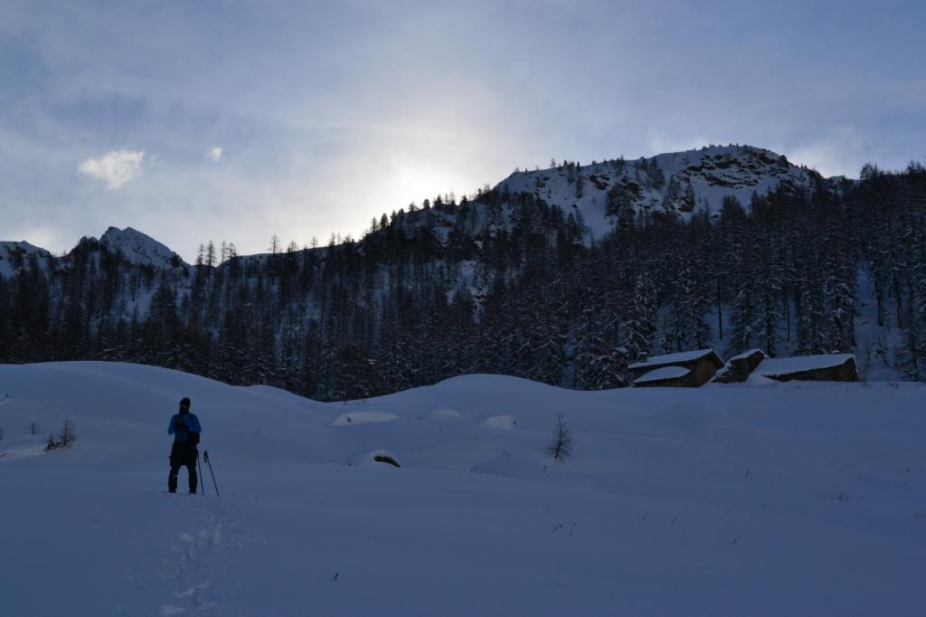
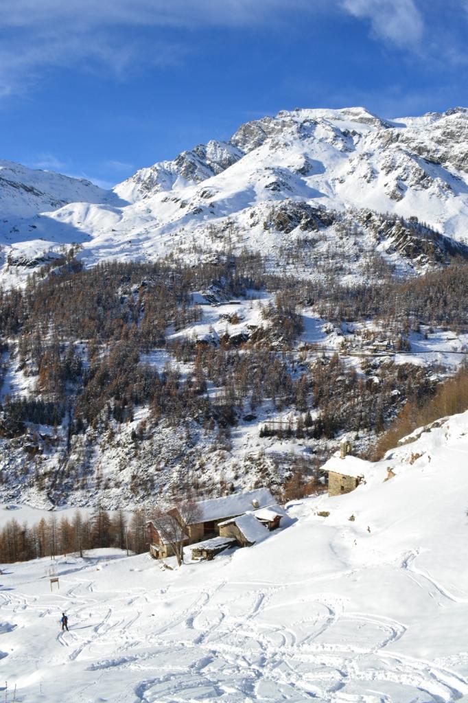
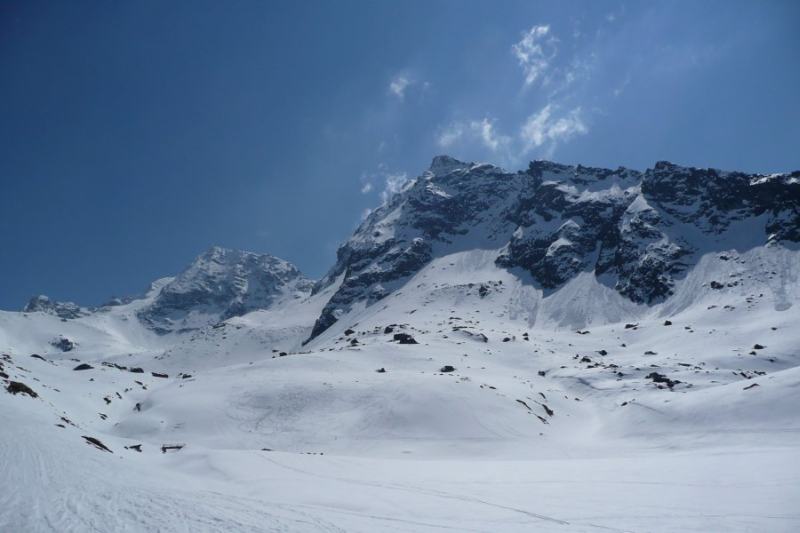
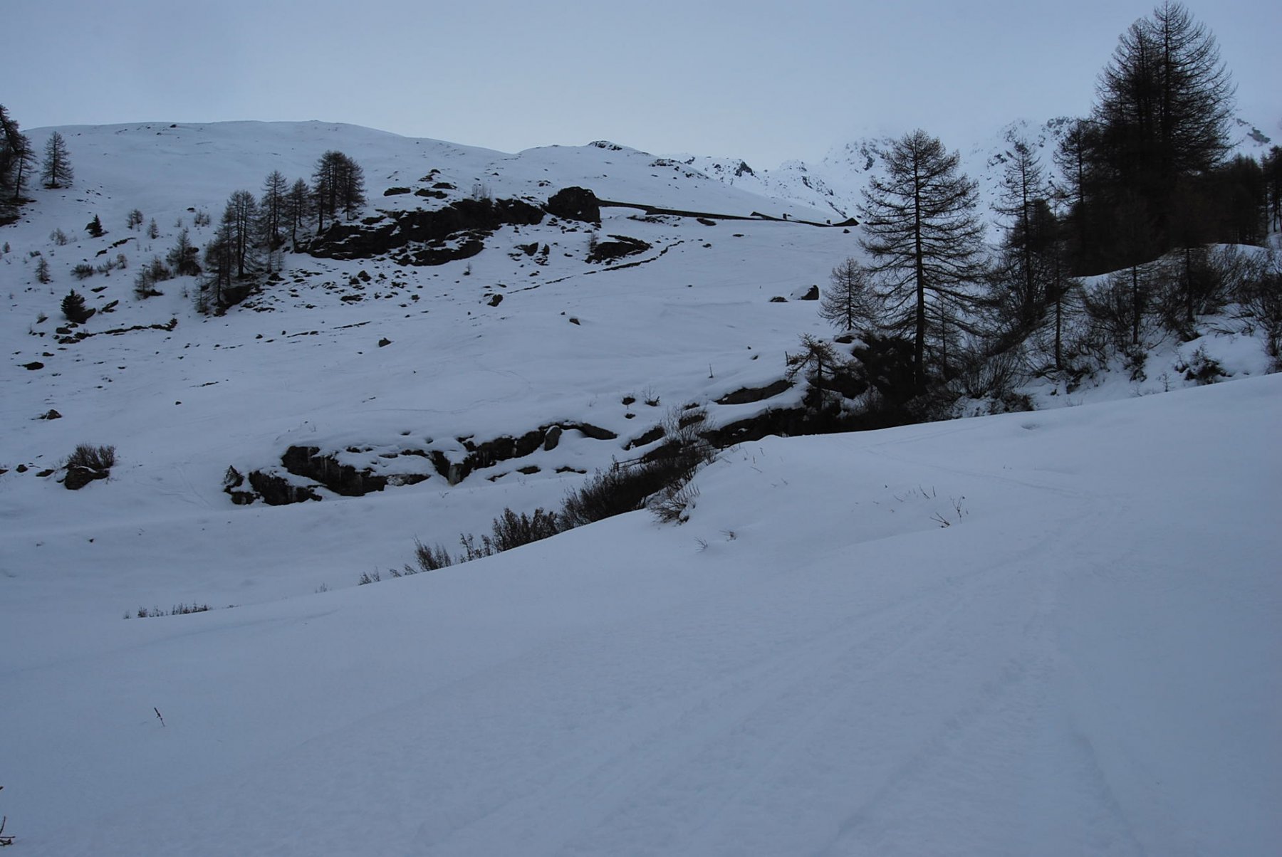
Lasciata l’auto al parcheggio della diga di Beauregard,seguire la strada che costeggia la diga ed oltrepassata la galleria svoltare a sx per Rocher lungo la strada interpoderale.
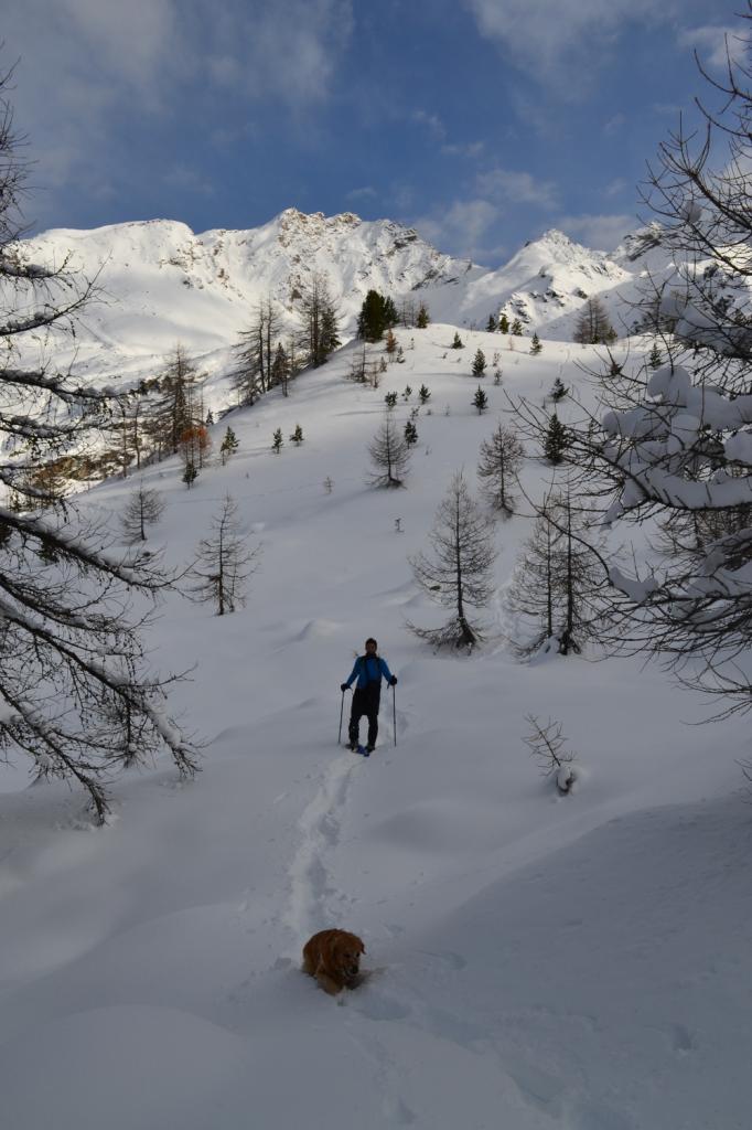
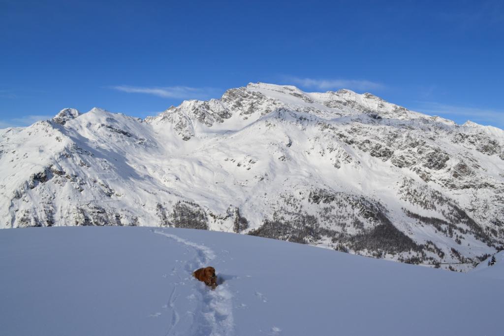
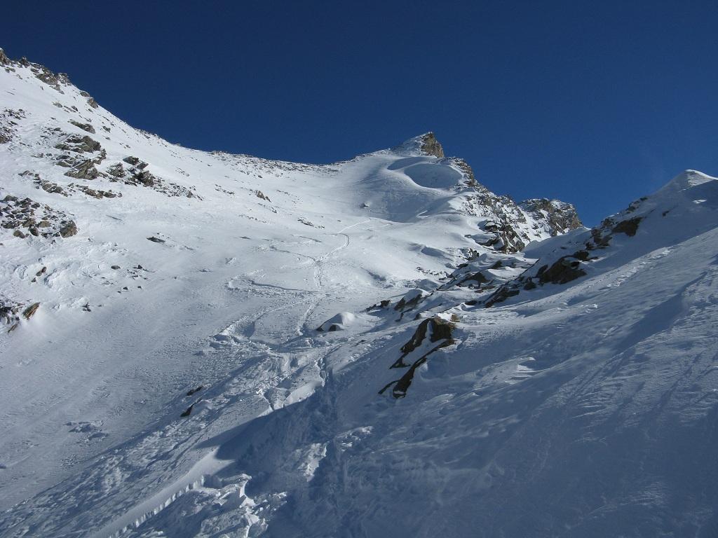
Giunti a quota 2070,in prossimità di un tornante,seguire la traccia che si inoltra nel bosco in direzione Sud e con lungo traverso si raggiunge l’imbocco del vallone del Bouc,si passa il torrente ed in 10 minuti per ampi pendii si raggiungono le baite de l’epee e successivamente il rifugio.
Nelle vicinanze Mappa
Itinerari
26/03/2016 AO, Valgrisenche D+ 1636 m BRA, F+ Sud-Est
Rutor (Testa del) da Bonne
 50m
50m
26/02/2026 AO, Valgrisenche D+ 605 m MR Sud-Est
Brè (Pla du) e Ricovero Capitano Crova da Bonne
 50m
50m
17/04/2010 AO, Valgrisenche D+ 1636 m BRA, F+ Varie
Rutor (Testa del) da Bonne, traversata a Planaval per il Colle dello Chateau Blanc
 50m
50m
21/04/2010 AO, Valgrisenche D+ 1511 m BRA, F Nord-Ovest
Rabuigne (Punta di) da Bonne
 50m
50m
12/04/2025 AO, valgrisenche D+ 1153 m MR Nord-Est
Arp Vieille (Mont) da Bonne
 50m
50m
27/05/2023 AO, Valgrisenche D+ 1400 m BRA, F+ Nord-Est
Ormelune ovest (Monte) o Pointe d’Archeboc da Bonne
 50m
50m
18/04/2022 AO, Valgrisenche D+ 1591 m BR Nord
Forciaz (Mont) cima est, da Valgrisenche
 750m
750m
04/12/2016 AO, Valgrisenche D+ 666 m MR Varie
Cotteun (Alpeggio) da Valgrisenche per il Vallone di Plontaz
 750m
750m
19/03/2017 AO, Valgrisenche D+ 950 m BR Varie
Quattro Denti (Becca dei) da Valgrisenche per il Vallone di Pra Longet
 750m
750m
01/03/2025 AO, Valgrisenche D+ 1030 m MR Varie
Sigaro (il) da Valgrisenche
 750m
750m
Servizi
1.2Km
3.1Km
Chalet de L’Epée Rifugio
Valgrisenche
3.2Km
Degli Angeli Rifugio
Valgrisenche
6.2Km
Paramont Albergo
Arvier
8.6Km
Grande Rousse Albergo
Rhêmes-Notre-Dame
8.9Km
Tanini Ristorante
Rhemes-Notre-Dame
8.9Km
Lo Sabot Albergo
Rhemes-Notre-Dame
9.1Km
Galisia Albergo
Rhemes-Notre-Dame
10Km