2.2Km
2.2Km

Note
 2Km
2Km
2Km
2Km
2Km
2Km
2Km
2.1Km
2Km
2Km
2Km
2Km
2Km
2Km
2Km
2.1Km
2.2Km
4.6Km
4.6Km
4.8Km
4.8Km
4.8Km
7.9Km
7.9Km
7.9Km
8Km
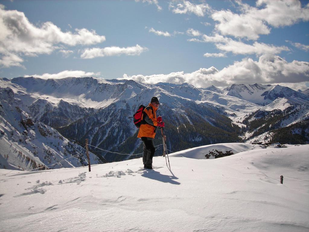
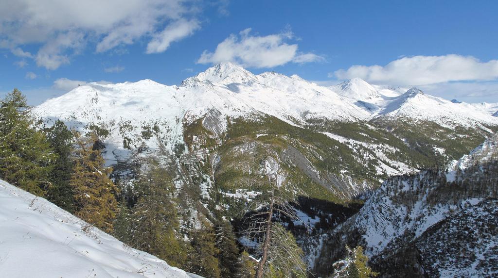
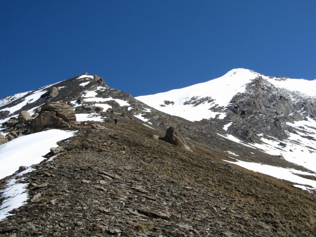
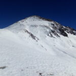
Bel panorama sulla cresta di confine con la Francia: Dormilleuse, Col Chabaud, Courbiun.
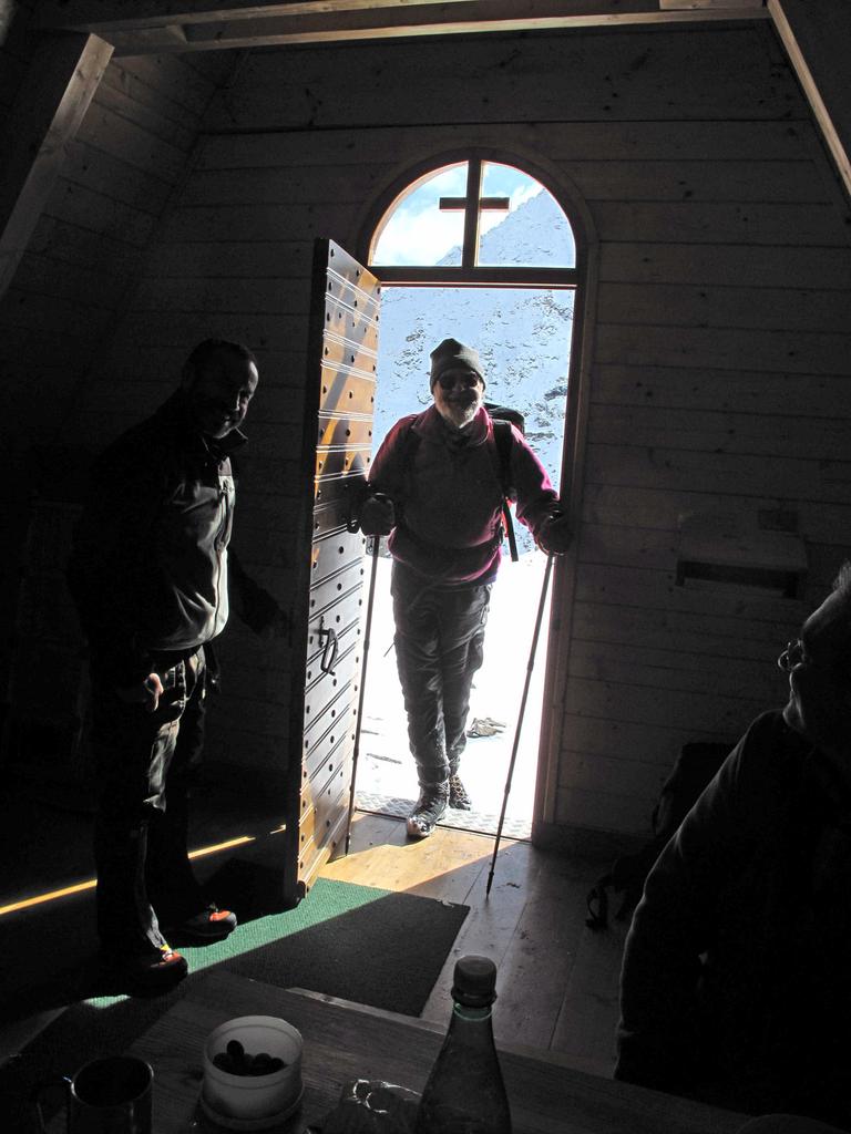
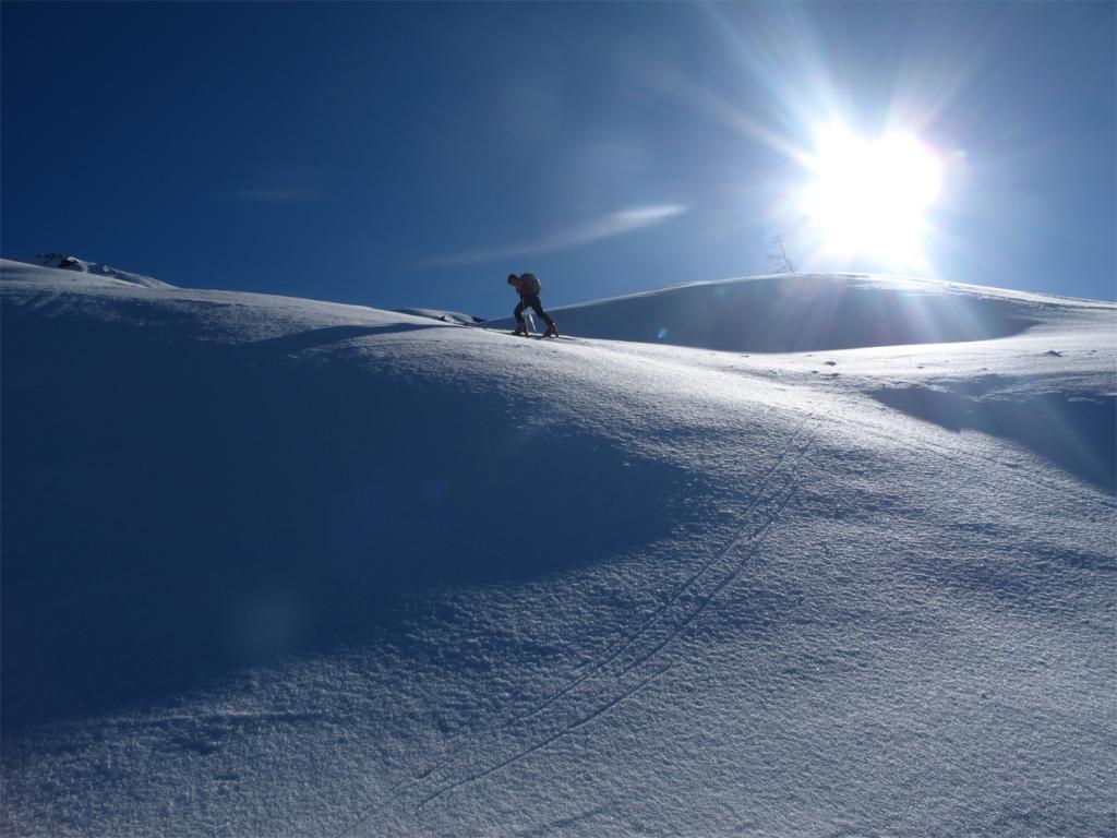
Utili i ramponi gli ultimi 100m di dislivello con neve dura.
Avvicinamento
Utili i ramponi gli ultimi 100m di dislivello con neve dura.
.
Descrizione
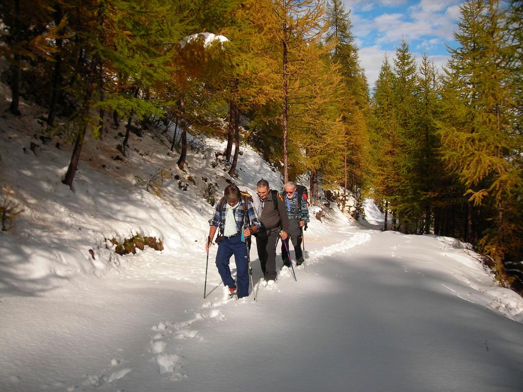
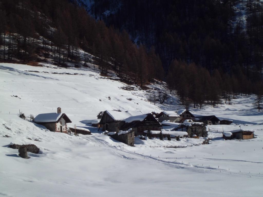
Da Sauze di Cesana, attraversare il ponte delle albere ed imboccare la rotabile a fondo naturale sulla destra salendo, e seguirla lungo i numerosi tornanti che con moderata pendenza attraversano una bella foresta di larici, fino ad uscirne in prossimità della cima, raggiunta con una breve rampa, ma su un ripido pendio (pericoloso con molta neve)
- Cartografia:
- Valli Susa, Chisone e Germanasca, I.G.C. 1:50.000
- Bibliografia:
- G. Ragazzini, Mountain bike-sulle strade militari alpine
Nelle vicinanze Mappa
Itinerari
30/03/2019 TO, Sauze di Cesana D+ 1315 m BR Sud-Ovest
Rognosa del Sestriere (Punta) da Bessen Haut per il versante SO
 2Km
2Km
09/04/2011 TO, Sauze di Cesana D+ 1284 m BRA, F Sud-Ovest
Platasse (Monte) da Bessen Haut
 2Km
2Km
04/04/2026 TO, Sauze di Cesana D+ 1421 m BRA, F Ovest
Giornalet (Monte) da Bessen Haut
 2Km
2Km
04/12/2011 TO, Sauze di Cesana D+ 1283 m BRA, F Sud-Ovest
Rouit (Rocce del) da Bessen Haut
 2Km
2Km
02/03/2019 TO, Sauze di Cesana D+ 350 m MR Nord
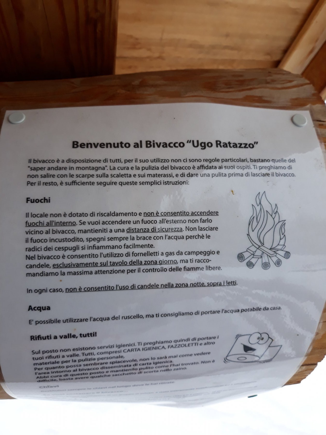
Ratazzo Ugo (Bivacco) da Bessen Haut
 2Km
2Km
11/04/2015 TO, Sauze di Cesana D+ 1090 m BR Sud-Ovest
Querellet (Monte) da Bessen Bas
 2Km
2Km
08/02/2020 TO, Sauze di Cesana D+ 247 m T Ovest
Brusà del Plan da Bessen Bas per la Valle Argentera
 2Km
2Km
19/01/2020 TO, Sauze di Cesana D+ 340 m MR Sud
Seuil (Grange) da Ponte Terribile
2.1Km
05/02/2013 TO, Sauze di Cesana D+ 250 m MR Est
Plane (Alpe) dal Ponte Terribile per la Valle Argentera
 2.1Km
2.1Km
18/11/2025 TO, Sauze di Cesana D+ 1337 m BR Ovest
Appenna (Monte) dalla Valle Argentera
2.1Km
Servizi
2.2Km
4.6Km
Centro Ristorante
Cesana Torinese
4.6Km
La Fontana del Thures Rifugio
Cesana Torinese
4.8Km
da Carlo Rifugio
Cesana Torinese
4.8Km
La Tana degli Orsi B&B
Cesana Torinese
4.8Km
La Crota B&B
Cesana Torinese
7.9Km
L’Ibarus Rifugio
Cesana Torinese
7.9Km
Piergiorgio Frassati B&B
Cesana Torinese
7.9Km
Casa Cesana Bar
Cesana Torinese
8Km