5.6Km
5.6Km
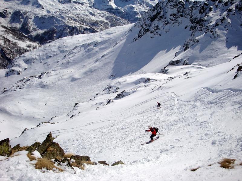
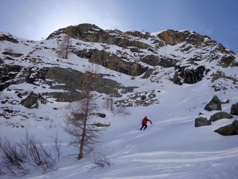
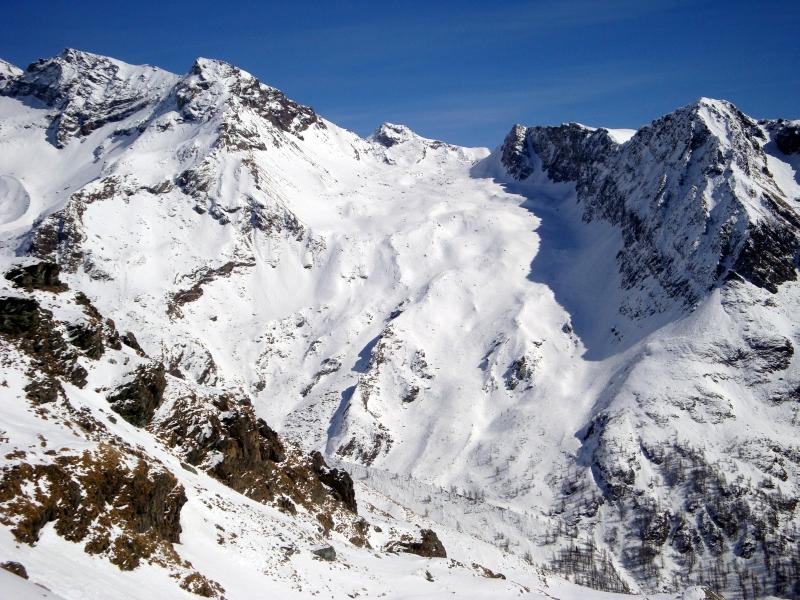
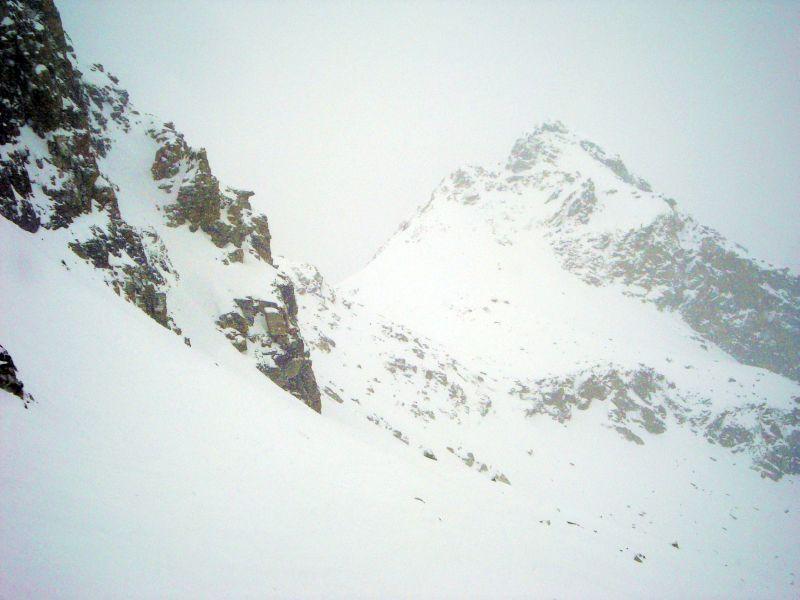
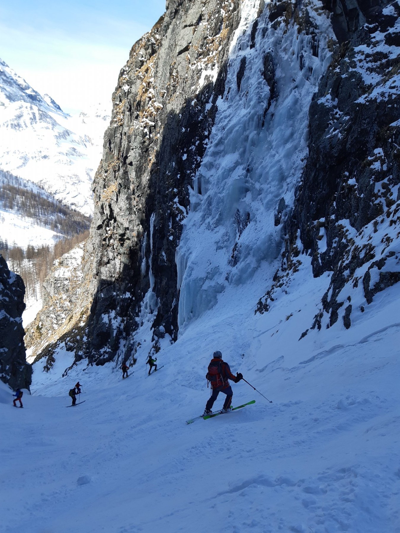
Avvicinamento
 6.6Km
8.9Km
9Km
9Km
9Km
9Km
9Km
9Km
6.6Km
8.9Km
9Km
9Km
9Km
9Km
9Km
9Km
5.6Km
5.7Km
5.8Km
5.9Km
6.4Km
6.5Km
6.6Km
7.2Km
7.5Km
8Km
.
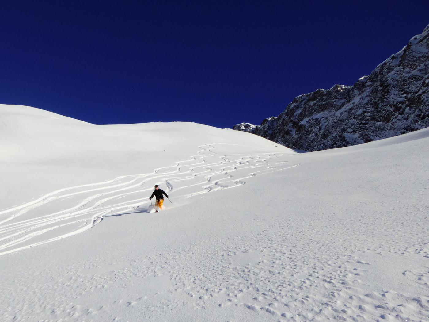
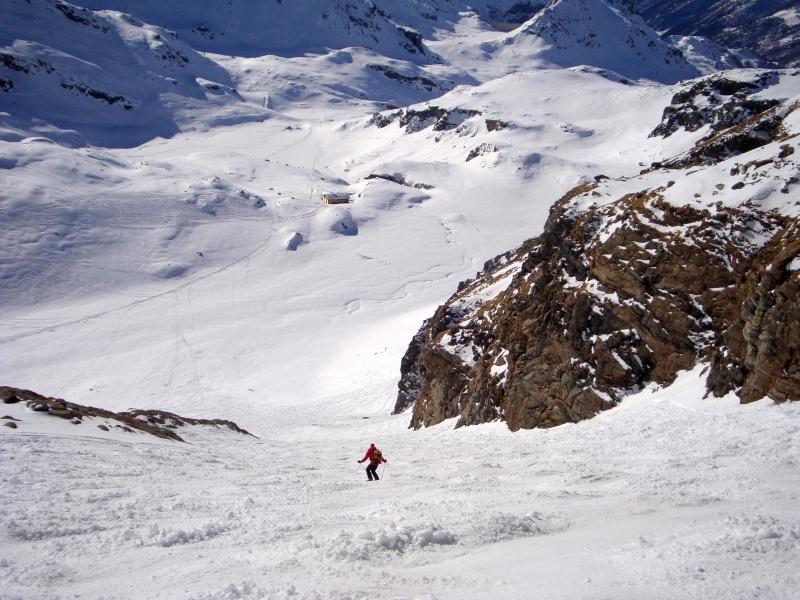
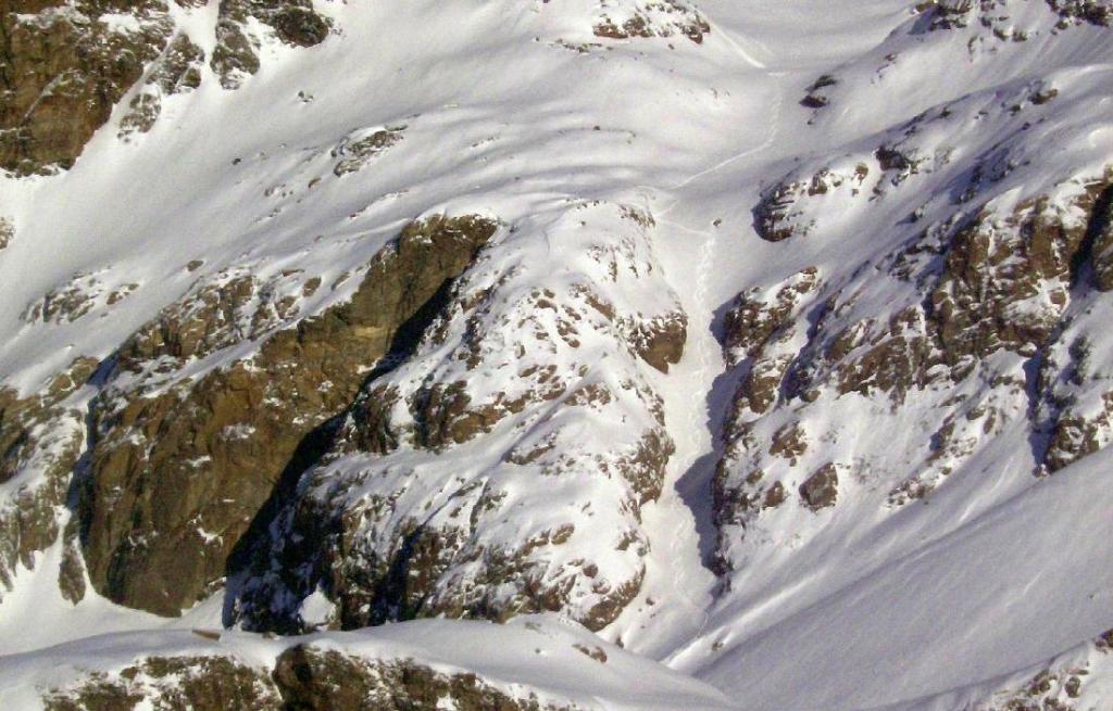
Descrizione
dal colle traversare brevemente e in piano verso nord est,imboccare il ripido pendio scendendo inizialmente verso sud est poi piegare verso est sud est per rientrare verso la partenza impianti a stafal
- Cartografia:
- igc 25000 monte rosa
Nelle vicinanze Mappa
Itinerari
07/05/2013 AO, Gressoney-la-Trinitè D+ 700 m 3.2, E1 Sud-Ovest
Gabiet (Lago)
 6.6Km
6.6Km
01/04/2014 AO, Ayas D+ 1200 m 3.2, - Varie
Frachey Vari
7.4Km
07/03/2013 AO, Gressoney-la-Trinitè D+ 900 m 3.1, E2 Sud-Ovest
Indren Diretta Indren
 8.9Km
8.9Km
18/03/2017 AO, Gressoney-la-Trinitè D+ 300 m 3.1, E1 Nord
Indren Vallone di Salza
 9Km
9Km
07/04/2018 AO, Gressoney-la-Trinitè D+ 1200 m 3.1, E2 Sud
Indren Canale Grande
 9Km
9Km
06/04/2024 AO, Gressoney-la-Trinitè D+ 2000 m 3.2, E2 Sud-Ovest
Indren Valle Perduta o del Lys
 9Km
9Km
04/03/2020 AO, Gressoney-la-Trinitè D+ 1400 m 4.1, E2 Sud-Ovest
Indren Canyon Leisch
 9Km
9Km
06/06/2024 AO, Gressoney-la-Trinitè D+ 2600 m 3.2, E1 Sud-Ovest
Indren Canalino dell’Aquila
 9Km
9Km
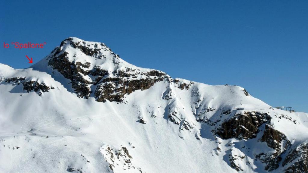
08/03/2013 AO, Gressoney-la-Trinitè D+ 900 m 3.1, E2 Sud-Ovest
Indren Lo Spallone
 9Km
9Km
18/01/2023 AO, Gressoney-la-Trinitè D+ 1760 m 3.1, E1 Sud-Est
Stolemberg – Gran Couloir
9.1Km
Servizi
5.6Km
5.7Km
Fior di roccia Bar
Ayas
5.8Km
Ferraro Rifugio
Ayas
5.9Km
Guide di Ayas Rifugio
Ayas
6.4Km
Le Petit Coq Ristorante
Ayas
6.5Km
Punta jolanda Ristorante
Gressoney-la-Trinitè
6.6Km
Hirsch stube Ristorante
Gressoney-la-Trinitè
7.2Km
Orestes Hütte Rifugio
Gressoney-la-Trinitè
7.5Km
AlpenHutte Lys Ristorante
Gressoney-la-Trinitè
8Km