2.8Km
2.8Km
Avvicinamento
 0m
50m
50m
50m
50m
3.4Km
3.4Km
3.4Km
7.3Km
7.3Km
0m
50m
50m
50m
50m
3.4Km
3.4Km
3.4Km
7.3Km
7.3Km
2.8Km
3.4Km
5.2Km
5.3Km
5.5Km
6.3Km
6.5Km
8.3Km
9.4Km
9.9Km
.
Descrizione
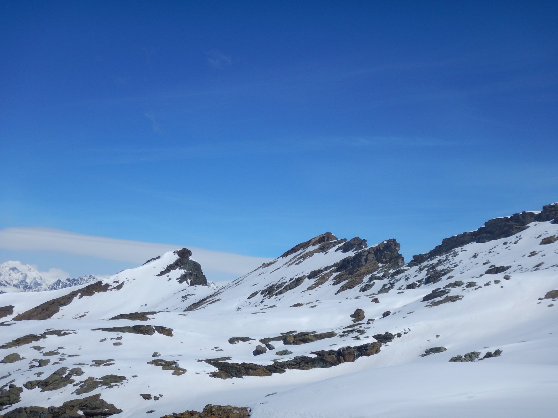
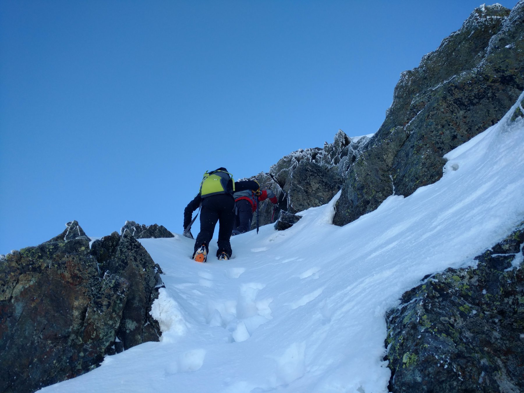
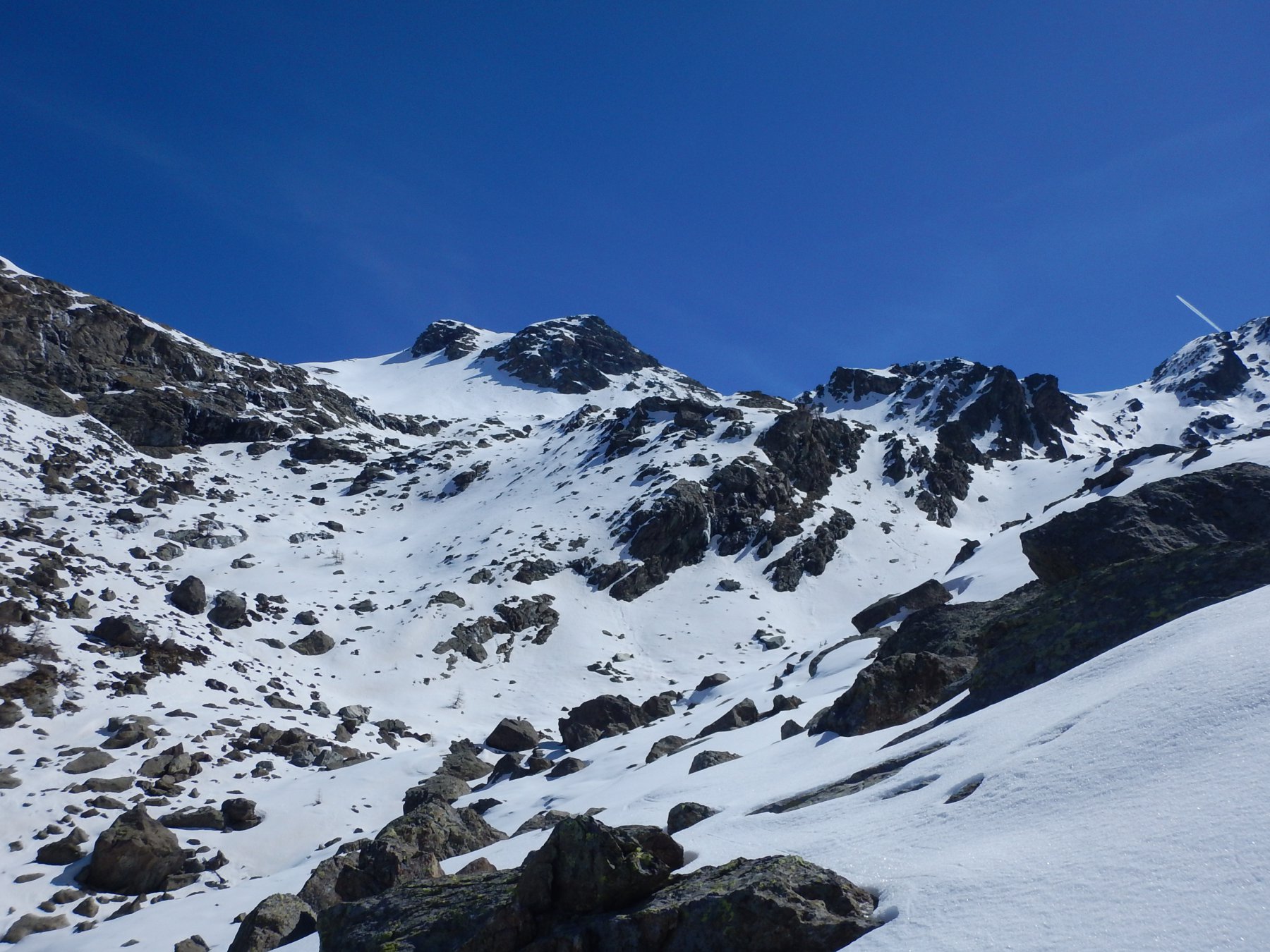
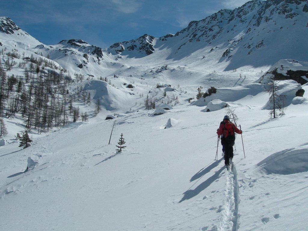
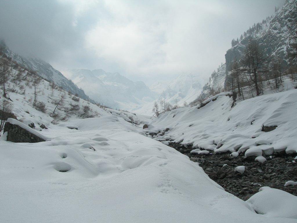
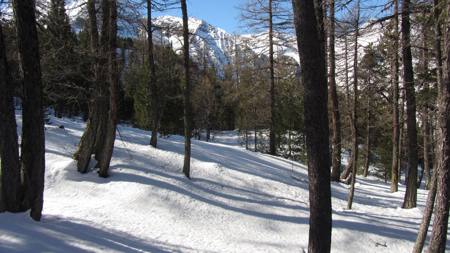
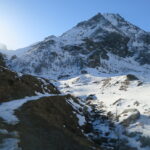
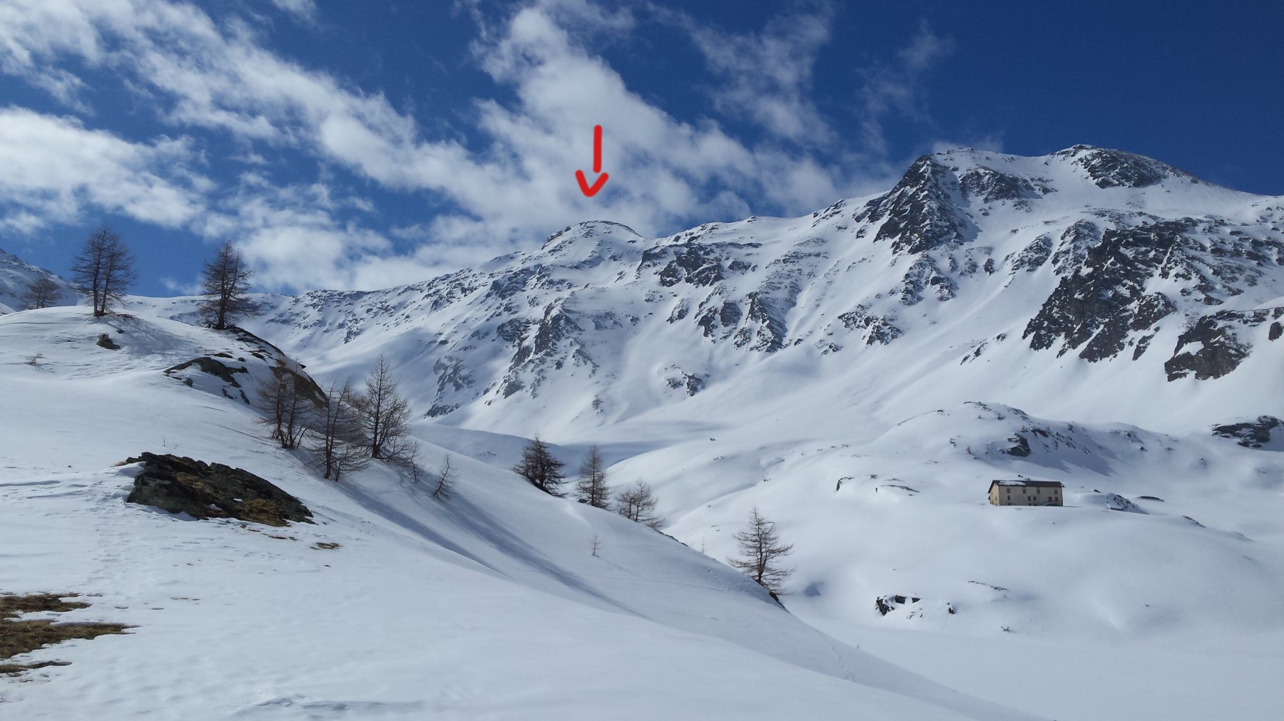
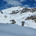
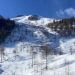
Da Fenis seguire le indicazioni stradali per la Val Clavalité e percorrerla in auto fin dove possibile (innevamento o divieto di transito). arrivati al Pianoro di Clavalité dirigersi fino all’abitato di Maisonasse, dove bisognerà seguire le tracce del sentiero estivo fino all’Alpe Gran Bella Lana a 2316 m. da qui stando in centro valle raggiungere il colle di sinistra, colle di Raye Chevrère 2703 m. Oltrepassare il colle e costeggiare la base della bastionata rocciosa occidentale del Mont Avic per pendii alquanto ripidi fino alla base di un canalino da risalire a piedi. continuare sul filo di cresta fino in punta su roccette (corda piccozza e ramponi per la vetta).
Nelle vicinanze Mappa
Itinerari
14/03/2009 AO, Fenis D+ 1541 m BS Ovest
Raye Chevrere (Colle di) da Lovignana
 0m
0m
15/03/2015 AO, Fenis D+ 987 m MS Nord
Borroz Egidio (Bivacco) da Lovignana per la Val Clavalitè
 50m
50m
14/03/2012 AO, Fenis D+ 1518 m BS Ovest
Chermontane (Punta) dalla Val Clavalitè
 50m
50m
26/03/2016 AO, Fenis D+ 1550 m BS Ovest
Pian Fret (Testa di) da Lovignana
 50m
50m
22/03/2022 AO, Fenis D+ 1800 m BS Nord-Ovest
Glacier (Mont) dalla Val Clavalité
 50m
50m
30/03/2016 AO, Saint-marcel D+ 1650 m BS Tutte
Gianni Vert (Punta) o Jean Vert da les Druges, traversata valloni di Saint Marcel – Grauson
 3.4Km
3.4Km
12/05/2024 AO, Saint-Marcel D+ 1800 m BS Varie
Leppe (Punta di) da Les Druges
 3.4Km
3.4Km
24/03/2026 AO, Saint-Marcel D+ 936 m BS Nord
Corquet (Mont) da les Druges
 3.4Km
3.4Km
27/12/2008 AO, Chambave D+ 1900 m OS Nord
Ruvic (Monte) da Cloutra, anello per i valloni di Molinaz ed Orsiére
 7.3Km
7.3Km
12/04/2014 AO, Chambave D+ 1430 m BS Nord-Ovest
Barbeston (Monte) da Cloutraz
 7.3Km
7.3Km
Servizi
2.8Km
3.4Km
Chez Gaillard B&B
Fenis
5.2Km
Maison Tersiva B&B
Nus
5.3Km
Maison Rosset Rifugio
Nus
5.5Km
Tse fine e Marcel B&B
Verrayes
6.3Km
Favre Ristorante
Nus
6.5Km
Lou Tourbiillet B&B
Saint-Marcel
8.3Km
Mathamel Giorgio B&B
Verrayes
9.4Km
Saint Barthelemy Albergo
Verrayes
9.9Km