2.6Km
2.6Km

Note
 50m
1.7Km
3.9Km
3.9Km
3.9Km
4Km
5.1Km
5.1Km
5.5Km
50m
1.7Km
3.9Km
3.9Km
3.9Km
4Km
5.1Km
5.1Km
5.5Km
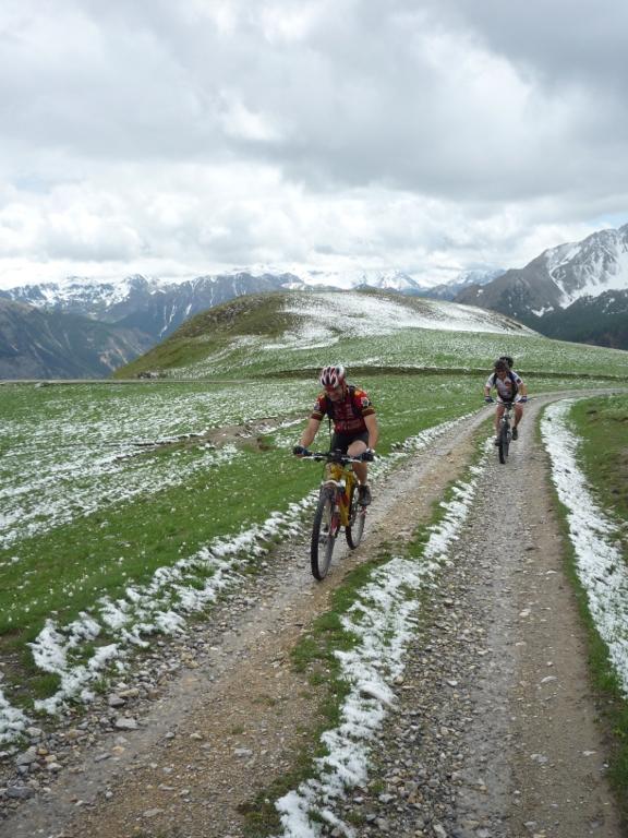
Giro non troppo impegnativo ma con alcuni tratti più tecnici qua e la. Discese divertenti e panorami super!!! Numerosi fortificazioni sul percorso.
Avvicinamento
.
Descrizione
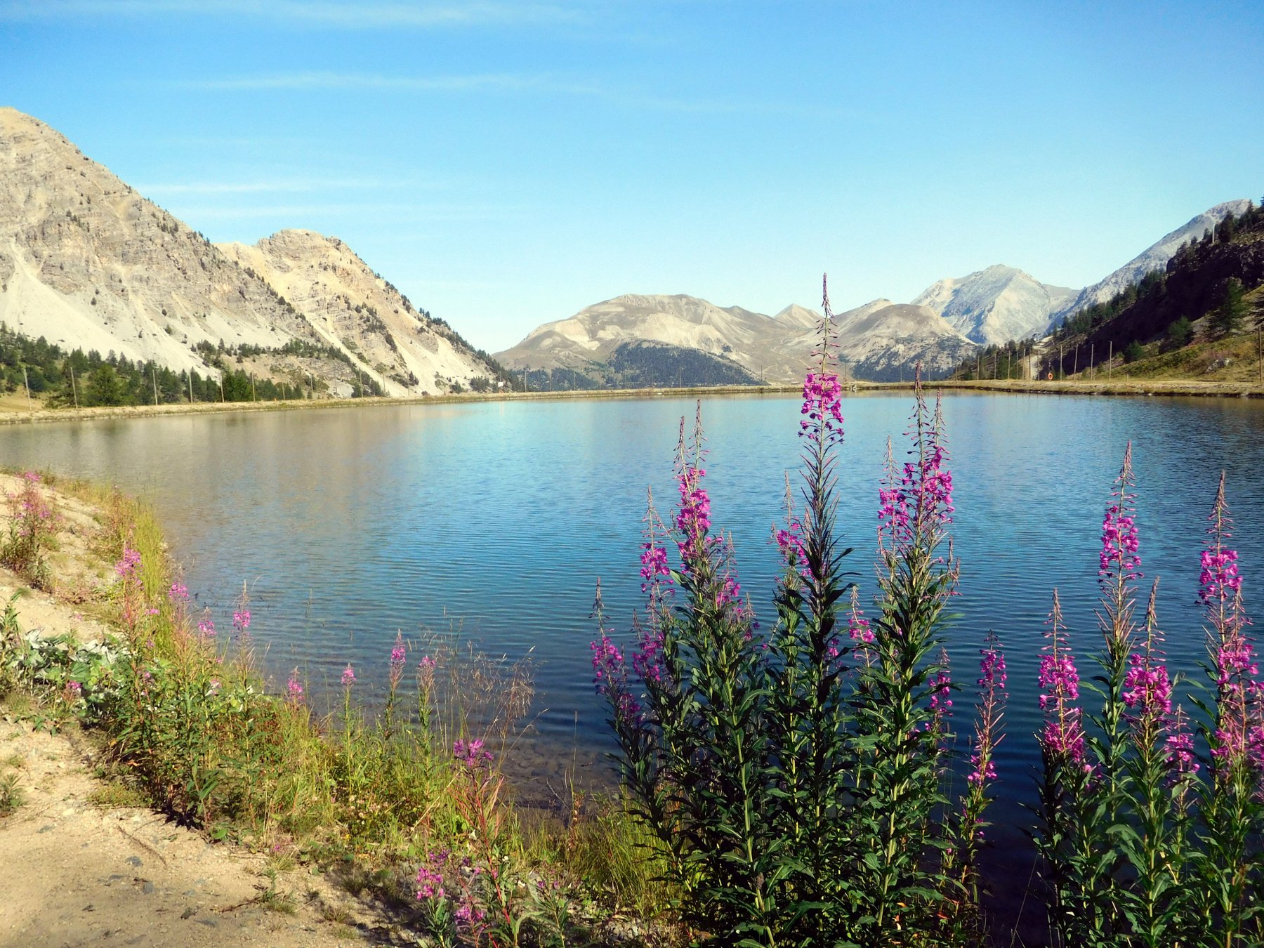
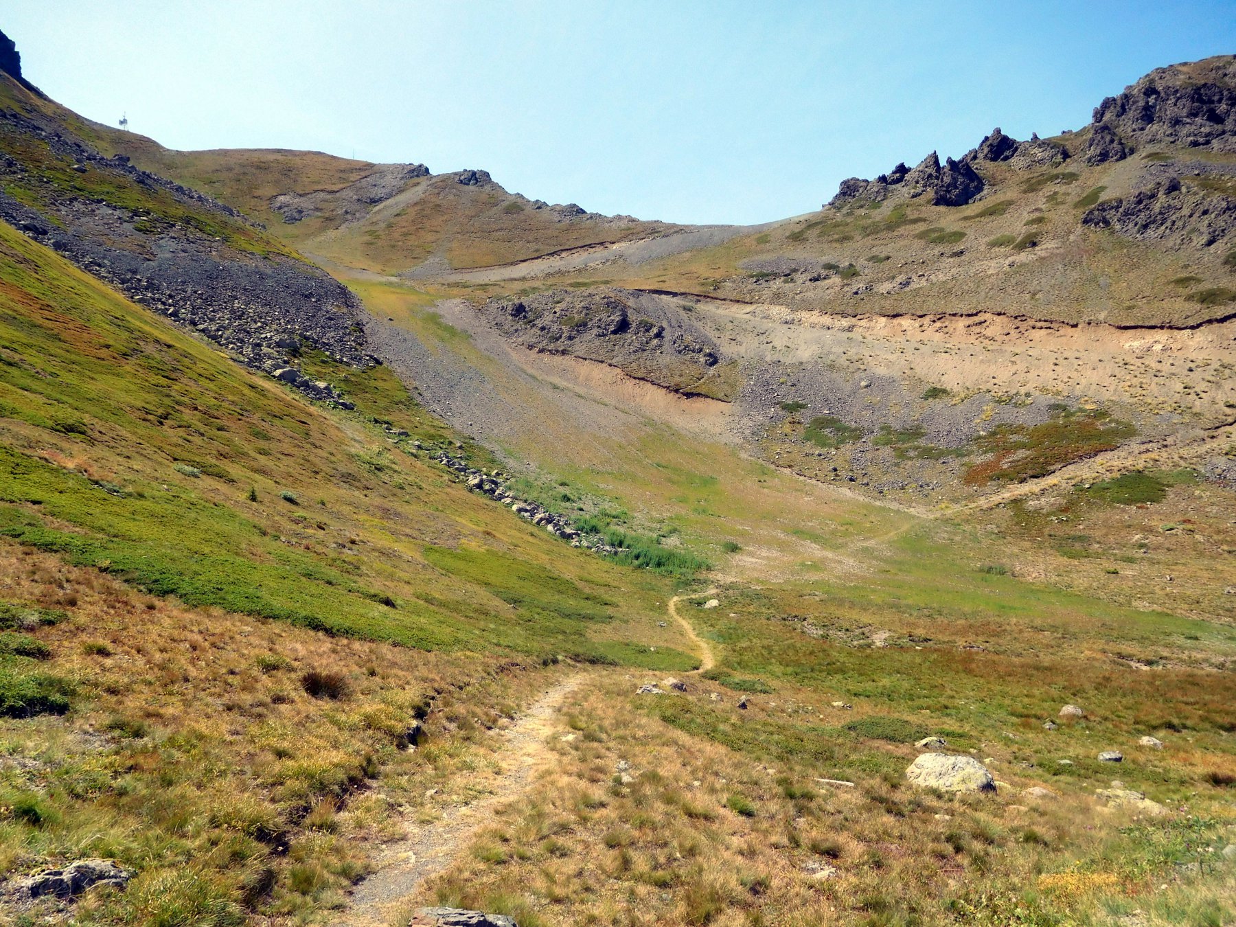
Da Monginevro (parcheggio telecabina a fine paese) si torna indietro per qualche metro e, alla prima rotonda, si prende l’asfaltata sulla dx ed ancora a dx al primo bivio. Passando sotto gli impianti la strada diviene sterrata, si costeggia il parco avventura ed al successivo bivio si prende a sx. La sterrata sala con un buon fondo e pendenze regolari fino alla partenza di una sciovia. A questo punto conviene tenere la sx e, dopo alcuni tornanti, raggiungere un lago artificiale che si costeggia per riguadagnare la sterrata che sale verso il Fort Gondran.
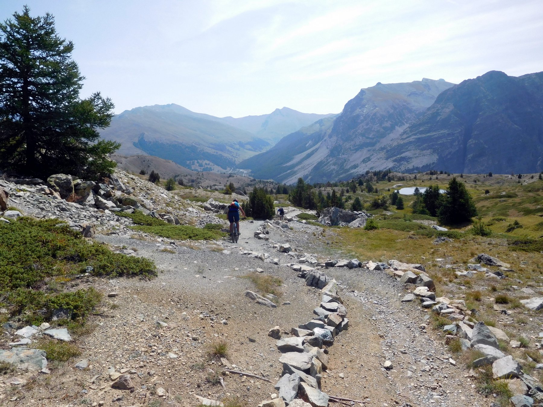
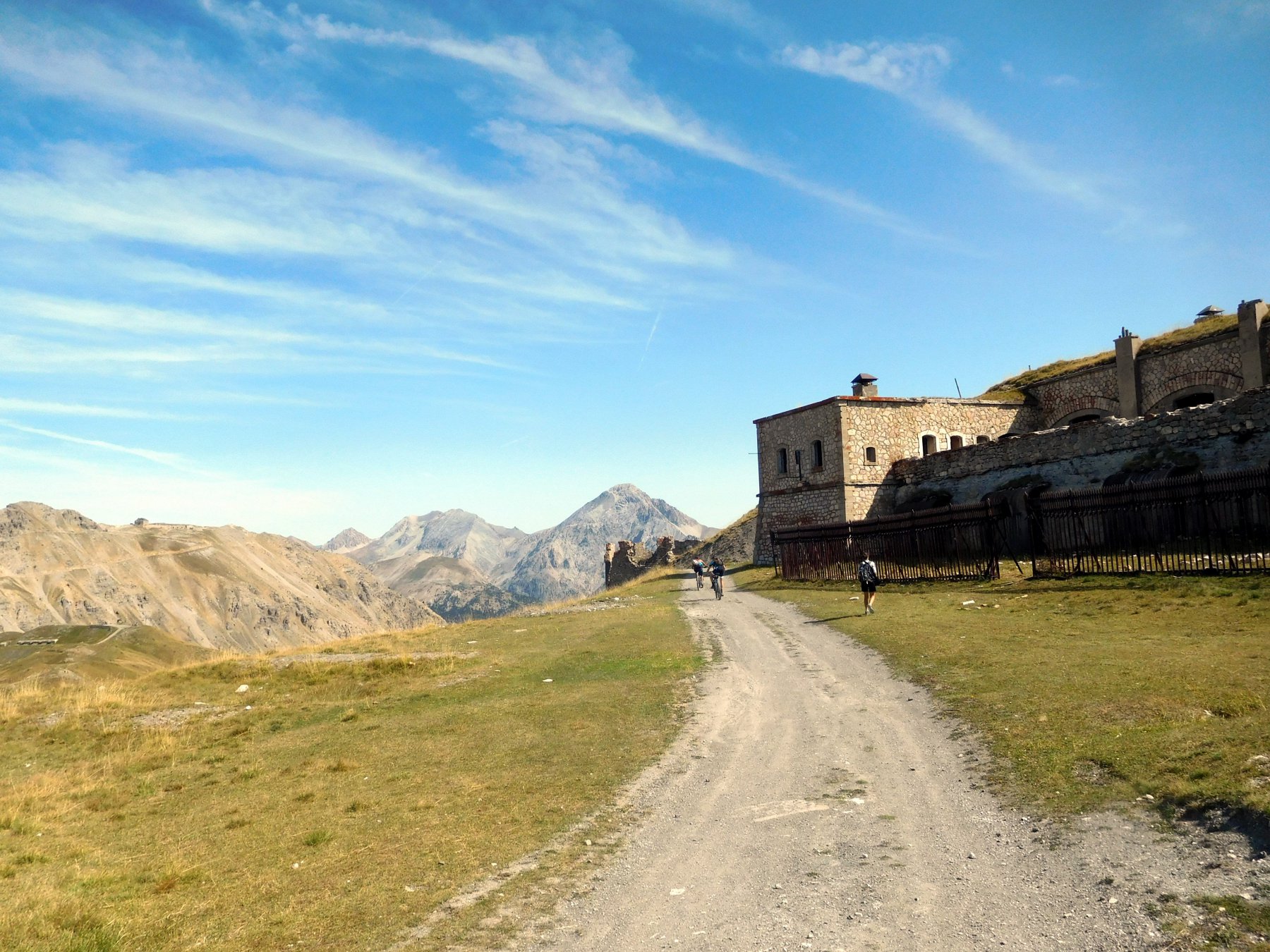
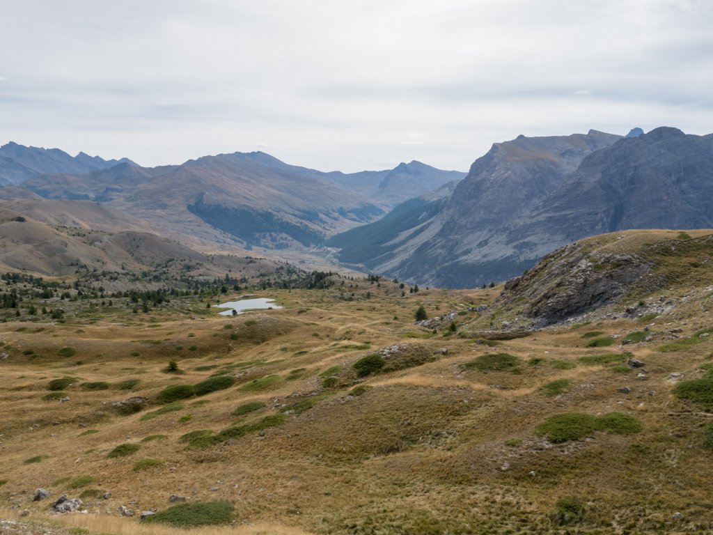
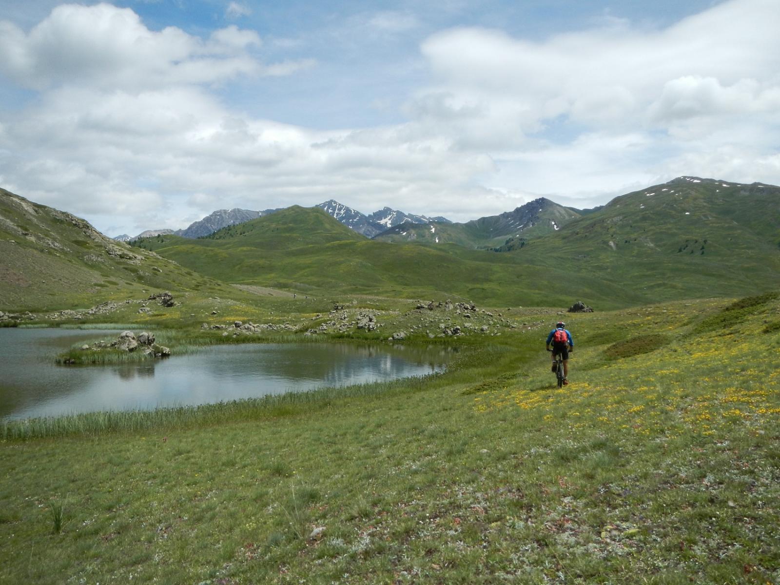
Si scollina a quota 2340 m e si svolta a sinistra e. dopo pochi metri, di nuovo a sinistra arrivando così al forte costruito sulla cima della Sommet des Anges (2431 m). Girando intorno al forte si guadagna la cresta spartiacque e, su single track in direzione est, si percorre la bella dorsale fino a raggiungere una sterrata raggiungendo così un colletto sotto la cima Chenaillet.
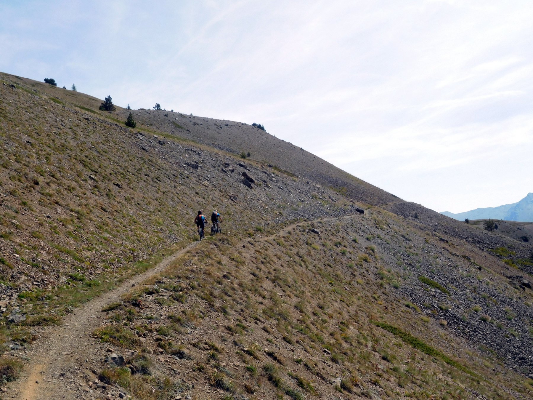
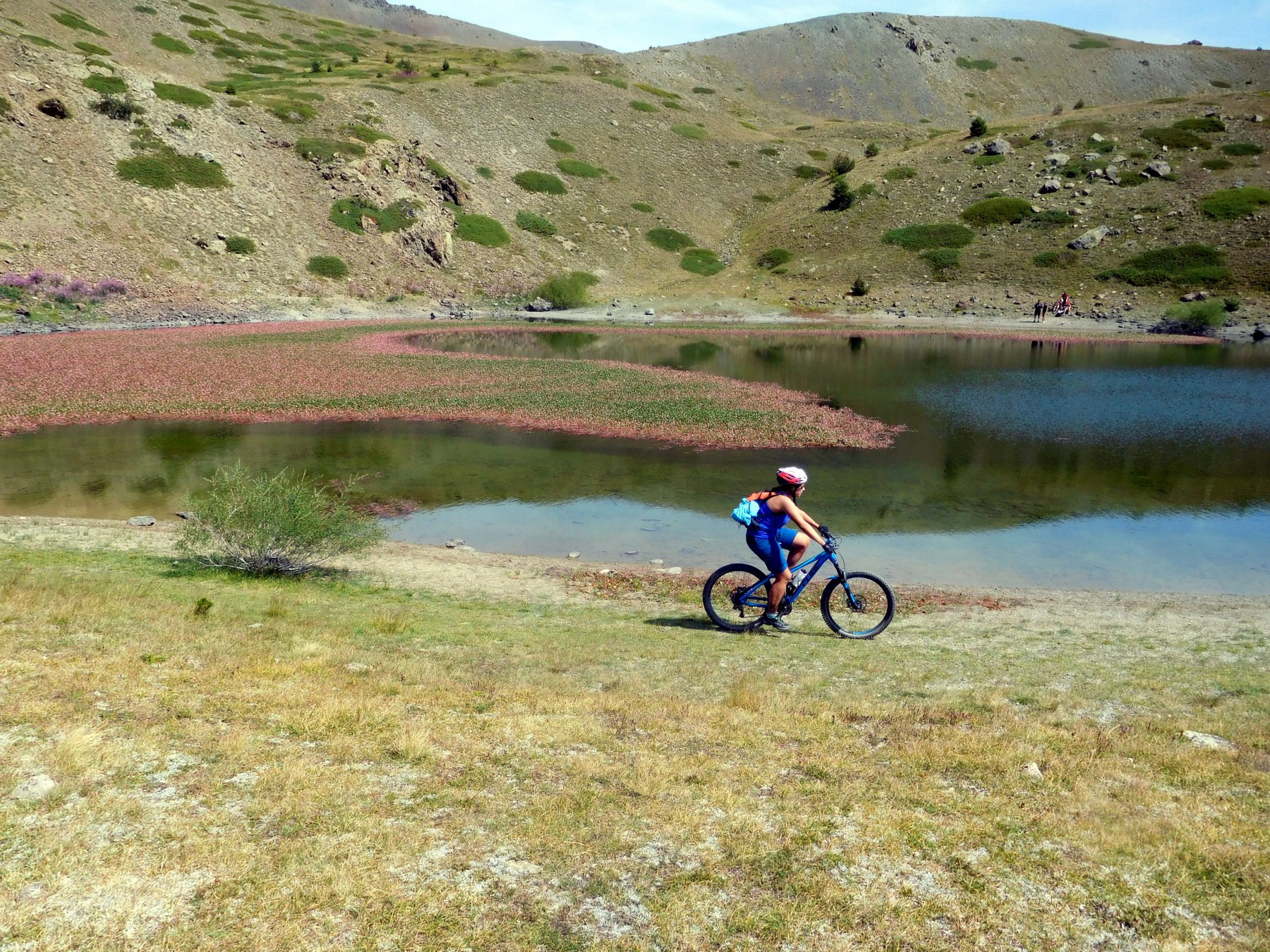
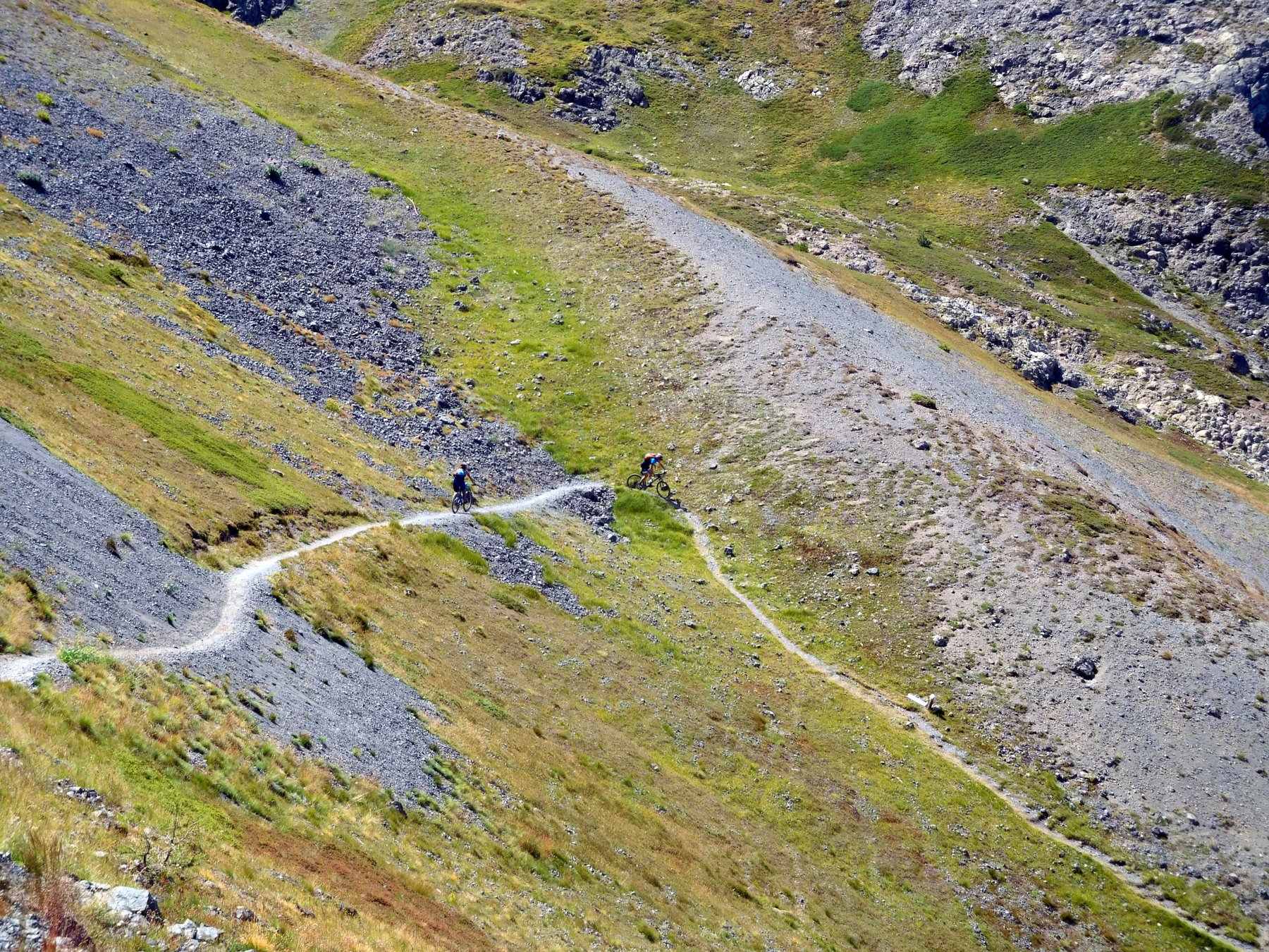
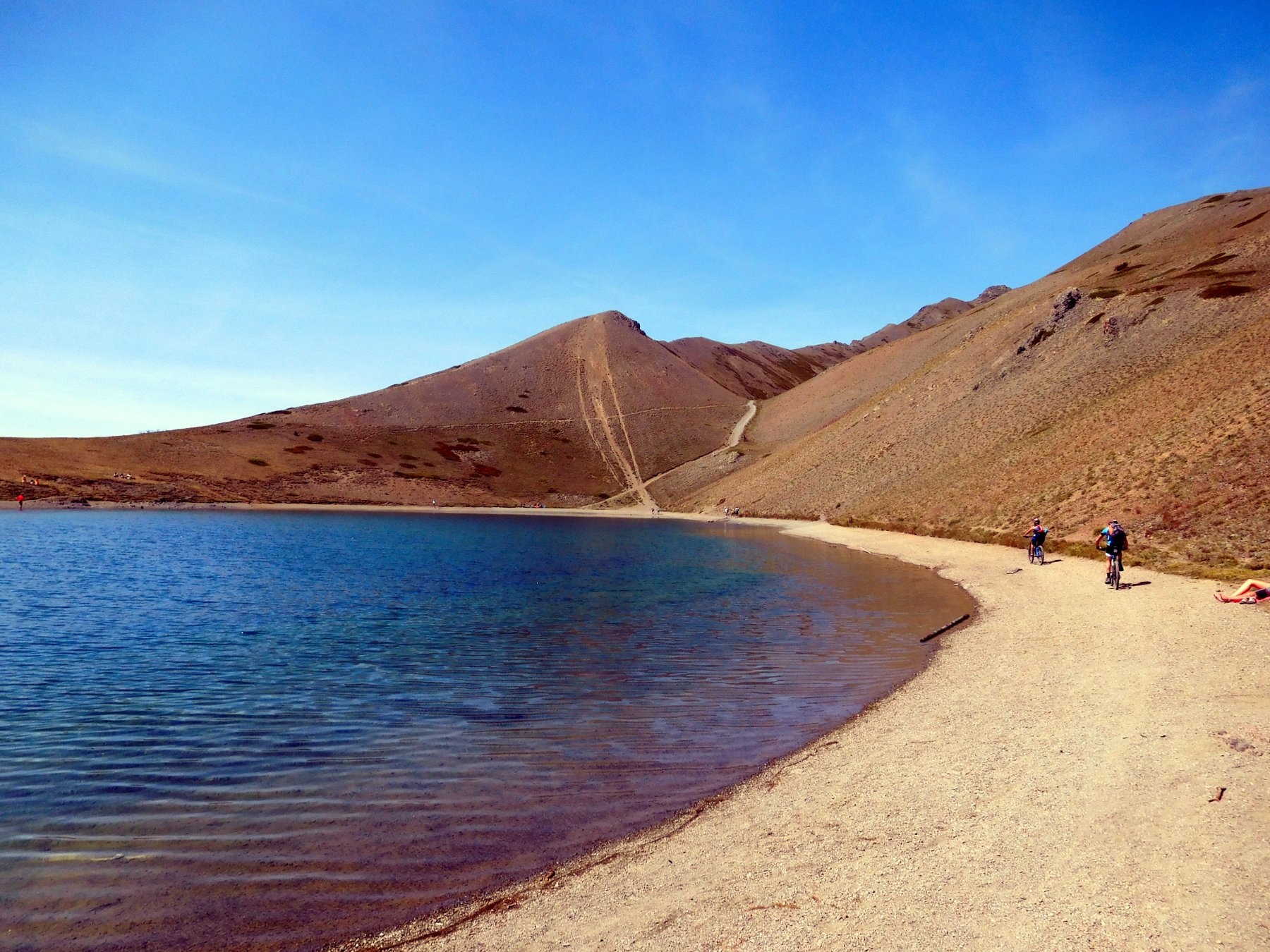
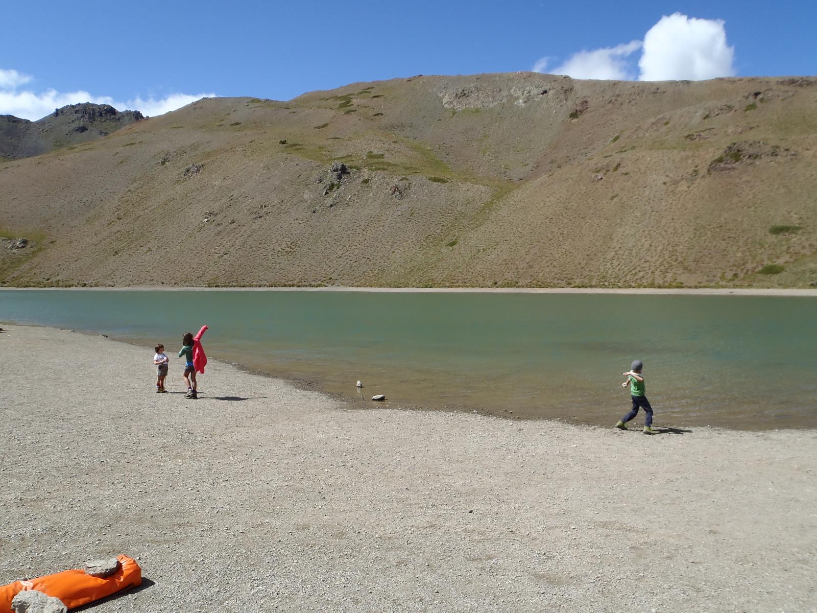
A questo punto si scende su sentiero ben marcato al lac de Sarailles (2236 m). Da qui, piegando in direzione est, si deve seguire un sentierino, all’inizio non molto marcato e non segnato, che porta a raggiungere una bella traccia che in mezzacosta porta al lac Noir. Da qui si imbocca la pista sterrata che, con alcune durissime rampe, porta a toccare il lago Gignoux o dei 7 colori. Un’ulteriore dura rampa porta ad un evidente colletto affacciato sul versante italiano.
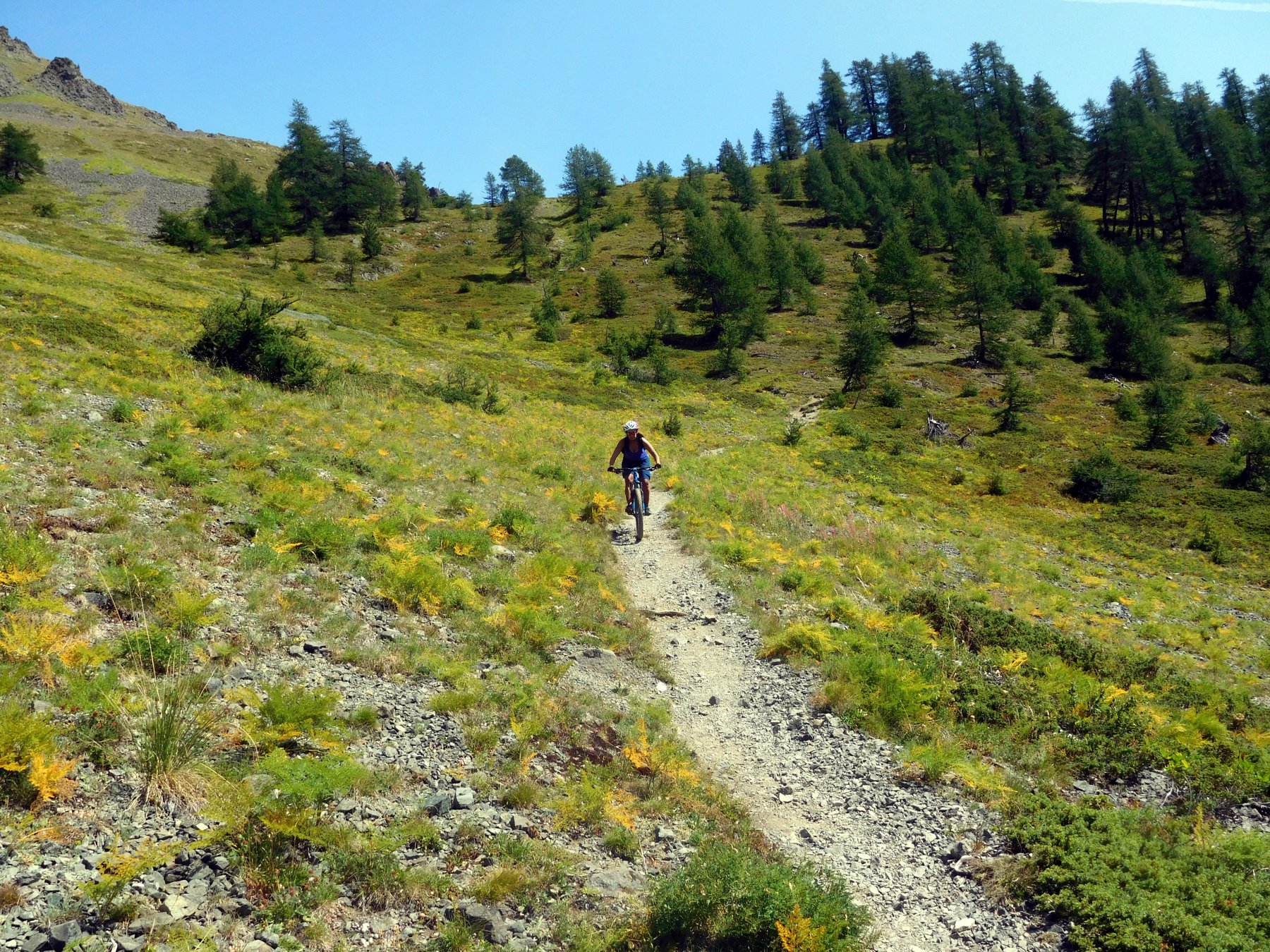
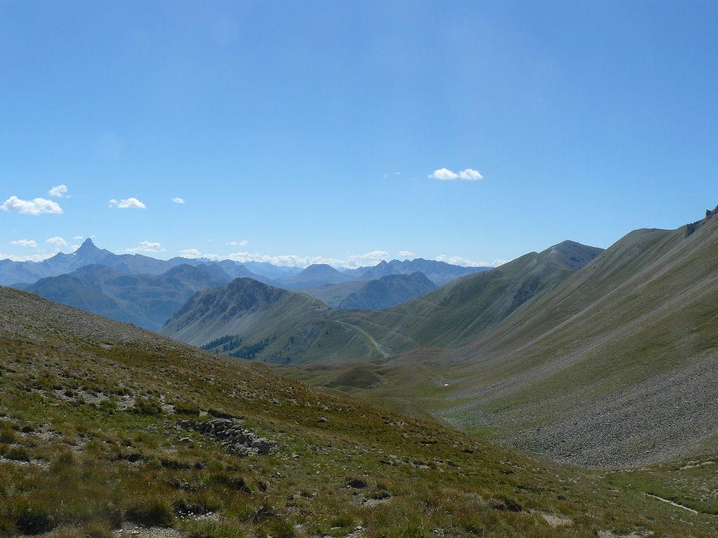
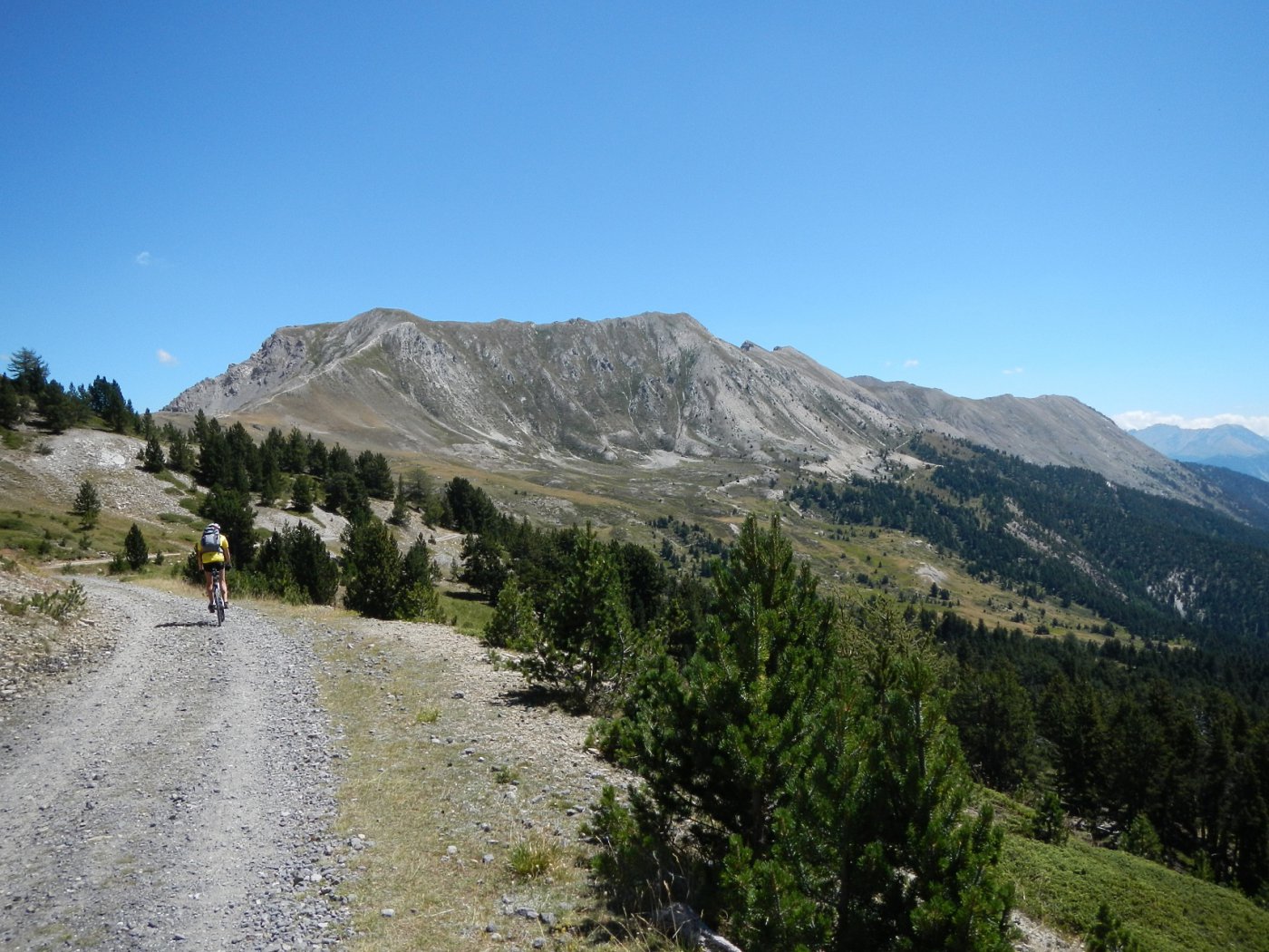
Da qui si tiene la prima traccia a sinistra e con bel percorso si raggiunge un trivio in località Costa La Luna (2365 m). Da qui si svolta a sinistra raggiungendo una sterrata che porta verso cima Saurel, si ignora un primo sentiero a dx (val Gimont) e si imbocca il successivo verso dx. Con percorso estremamente divertente ed a tratti più tecnico si effettua un lungo traverso fin sotto la verticale del colletto Verde che si raggiunge in circa 100 m di bici a spinta a partire da un baraccamento diroccato.
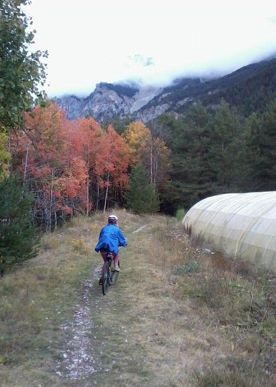
Dal colle si perde quota nella valle dei Mandarini posta sul lato opposto. La traccia evidente presenta un percorso a tratti molto tecnico fino a raggiungere un bivio (palina quota 2044 m). Si imbocca sulla sx la traccia (indicazioni per Monginevro par la Durance) che inizialmente in salita diviene ben presto un fantastico e scorrevole traversone che porta alla partenza della pista nera del Bike Park estivo. Da qui si torna al park o seguendo le strade di servizio degli impianti o (più divertente) utilizzando uno dei numerosi e ben segnalati percorsi del bike park di tutte le difficoltà.
- Cartografia:
- Fraternali 2 Alta val di Susa e Chisone
- Bibliografia:
- Western Trails di Matteo Zunino it.52
Nelle vicinanze Mappa
Itinerari
16/10/2025 Hautes-Alpes, Montgenèvre D+ 1030 m MC, BC, S1 Varie
Janus (Fort du) da Montgenevre, giro per Fort Gondran il Lago Gignoux o dei Sette Colori
 50m
50m
03/09/2010 Hautes-Alpes, Montgenèvre D+ 900 m BC+, OC, S2 Sud
Trois Freres Mineurs (Col des) da Montgenevre per il Vallone del Rio Secco
 1.7Km
1.7Km
15/07/2023 TO, Claviere D+ 826 m BC, OC, S2 Varie
Verde (Colletto) da Claviere, giro per il Lago Gignoux
 3.9Km
3.9Km
04/10/2004 TO, Claviere D+ 2250 m BC, BC, S1 Varie
Frejus (Colle del) da Claviere a Bardonecchia per Colle della Scala e Colle di Valle Stretta
3.9Km
08/08/2015 TO, Claviere D+ 1800 m MC+, BC, S1 Varie
Infernet, Janus, Gondran (Forti) da Claviere, giro per il Lago Gignoux o dei Sette Colori
 3.9Km
3.9Km
10/10/2025 TO, Claviere D+ 900 m BC, BC, S1 Varie
Gignoux o dei Sette Colori, Rouseau, Noir, Sous Bousson (Laghi) da Claviere, giro
 3.9Km
3.9Km
06/06/2025 TO, Claviere D+ 1242 m BC, BC, S1 Varie
Gimont (Mont) o Grand Charvia da Claviere
 4Km
4Km
05/07/2025 Hautes-Alpes, Val-des-Prés D+ 1300 m MC, BC+, S1 Est
Lenlon (Fort de) e Col du Granon da la Vachette, giro per il Fort de l’Olive e la Croix de Toulouse
 5.1Km
5.1Km
06/07/2020 Hautes-Alpes, Val-des-Prés D+ 250 m TC, MC, S0 Est
Clarée (Val de la) da la Vachette, piste ciclabili
 5.1Km
5.1Km
17/10/2020 Hautes-Alpes, Val-des-Prés D+ 1100 m BC, OC, S2 Sud-Ovest
Lenlon (Fort de) da Val des Prés, giro per il Fort de l’Olive
 5.5Km
5.5Km