500m
500m
Note
Storico
 600m
2.3Km
2.3Km
2.3Km
2.3Km
2.3Km
2.3Km
2.3Km
2.3Km
2.3Km
600m
2.3Km
2.3Km
2.3Km
2.3Km
2.3Km
2.3Km
2.3Km
2.3Km
2.3Km
500m
800m
800m
1.4Km
1.6Km
1.6Km
1.8Km
1.9Km
2.2Km
2.7Km
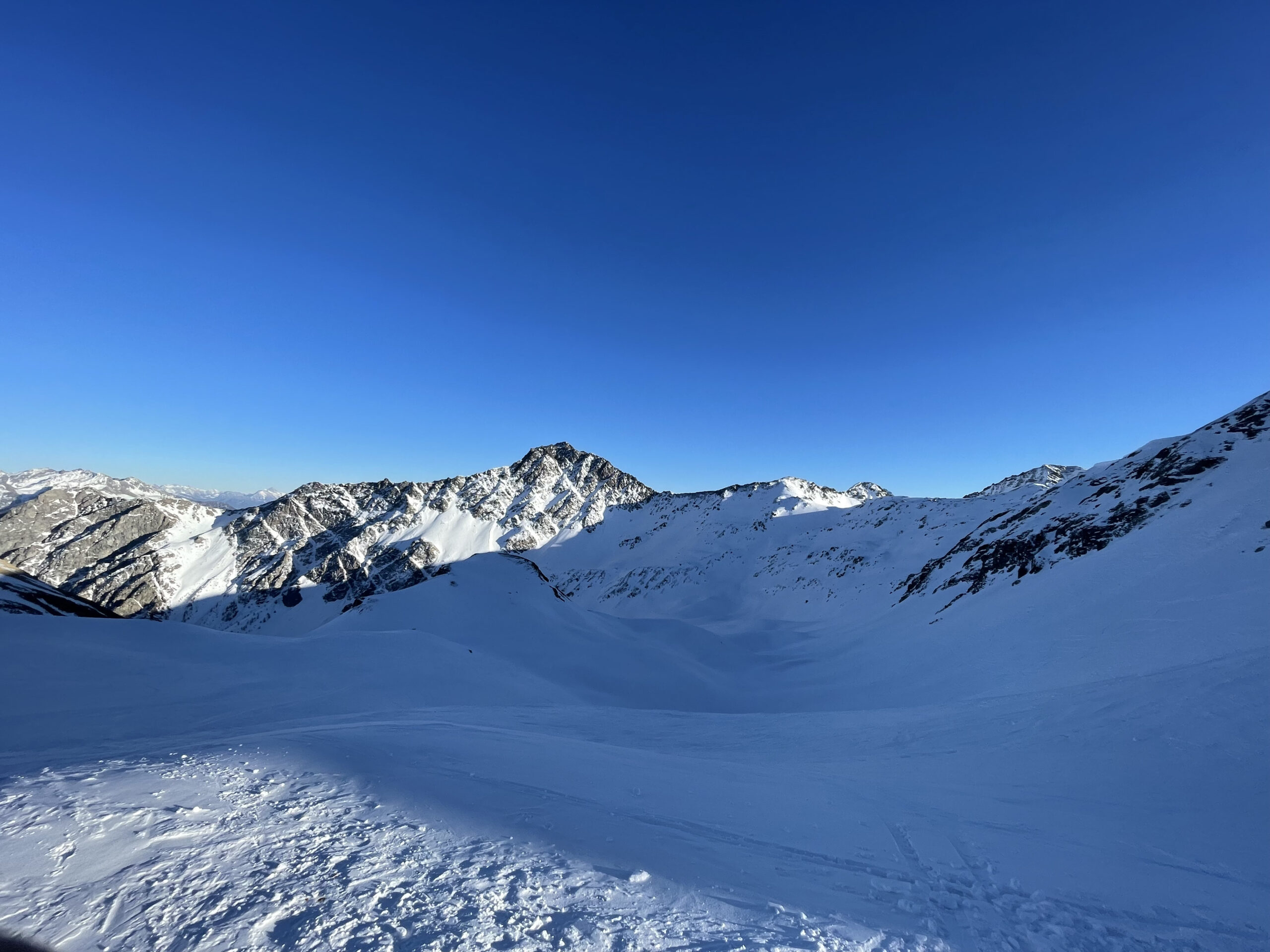
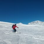
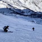
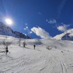
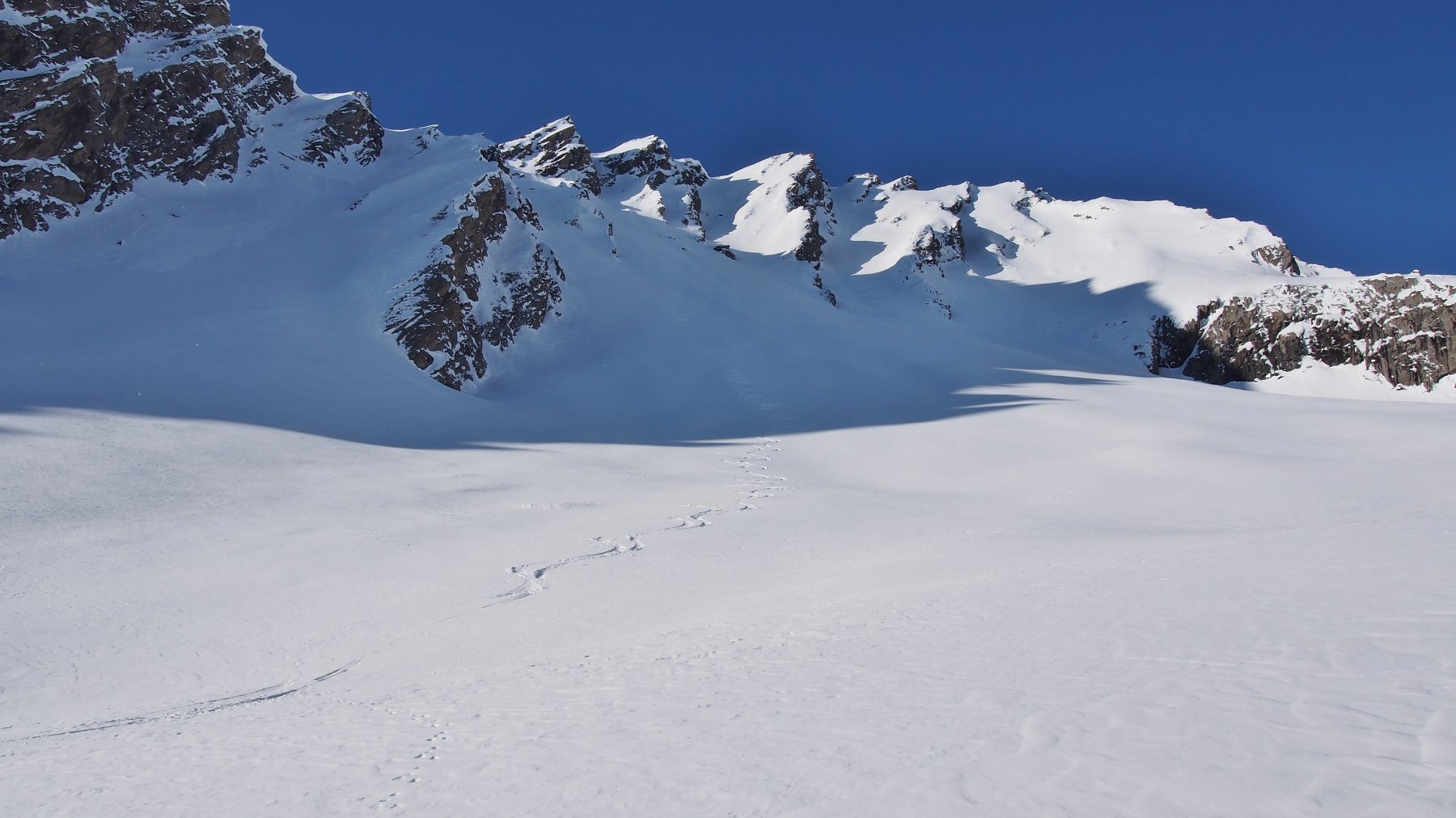
Splendido giro ad anello nel vallone del gran San Bernardo, che riprende lo storico Tour dei Fra, ma il verso di percorrenza è opposto e inoltre sono state aggiunte alcune varianti di pregio, che permettono di rendere l'itinerario molto più sciistico eliminando i traversi e i fondovalle e di godersi quasi tutte le discese a nord con farina quasi assicurata.
Sviluppo 27.5 km
Avvicinamento
Sviluppo 27.5 km
Arrivare in macchina fino a Saint-Rhemy e poi seguire le indicazioni per la chiesa di San Leonardo e successivamente seguire la strada fino a Pleiney dove essa finisce e si parcheggia.
Descrizione
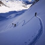
Da Pleiney costeggiare il fiume fino a Crevacol con percorso poco agevole in mezzo al bosco inizialmente. Da Crevacol seguire il classico itinerario che permette di raggiungere il Col Serena.
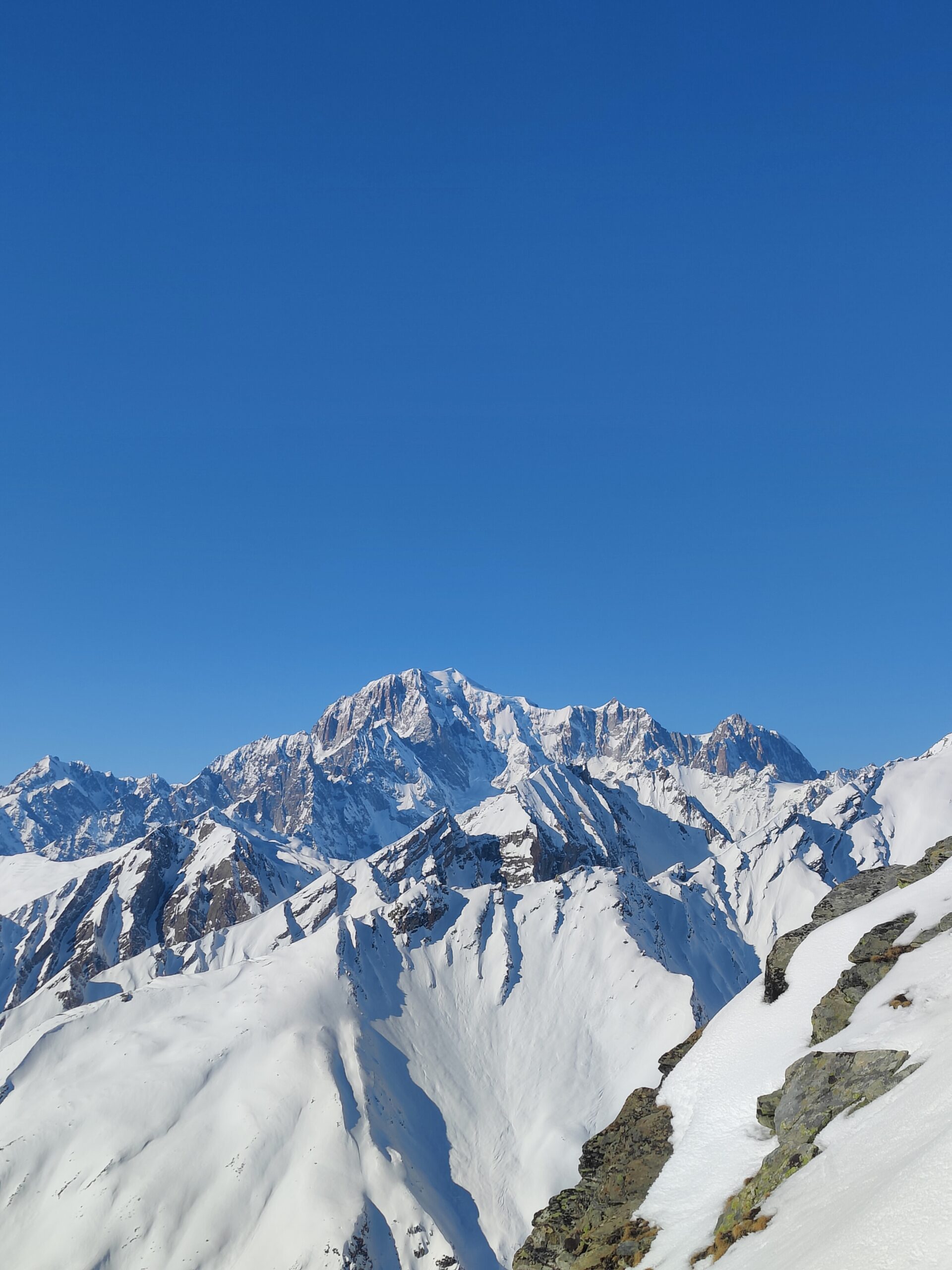
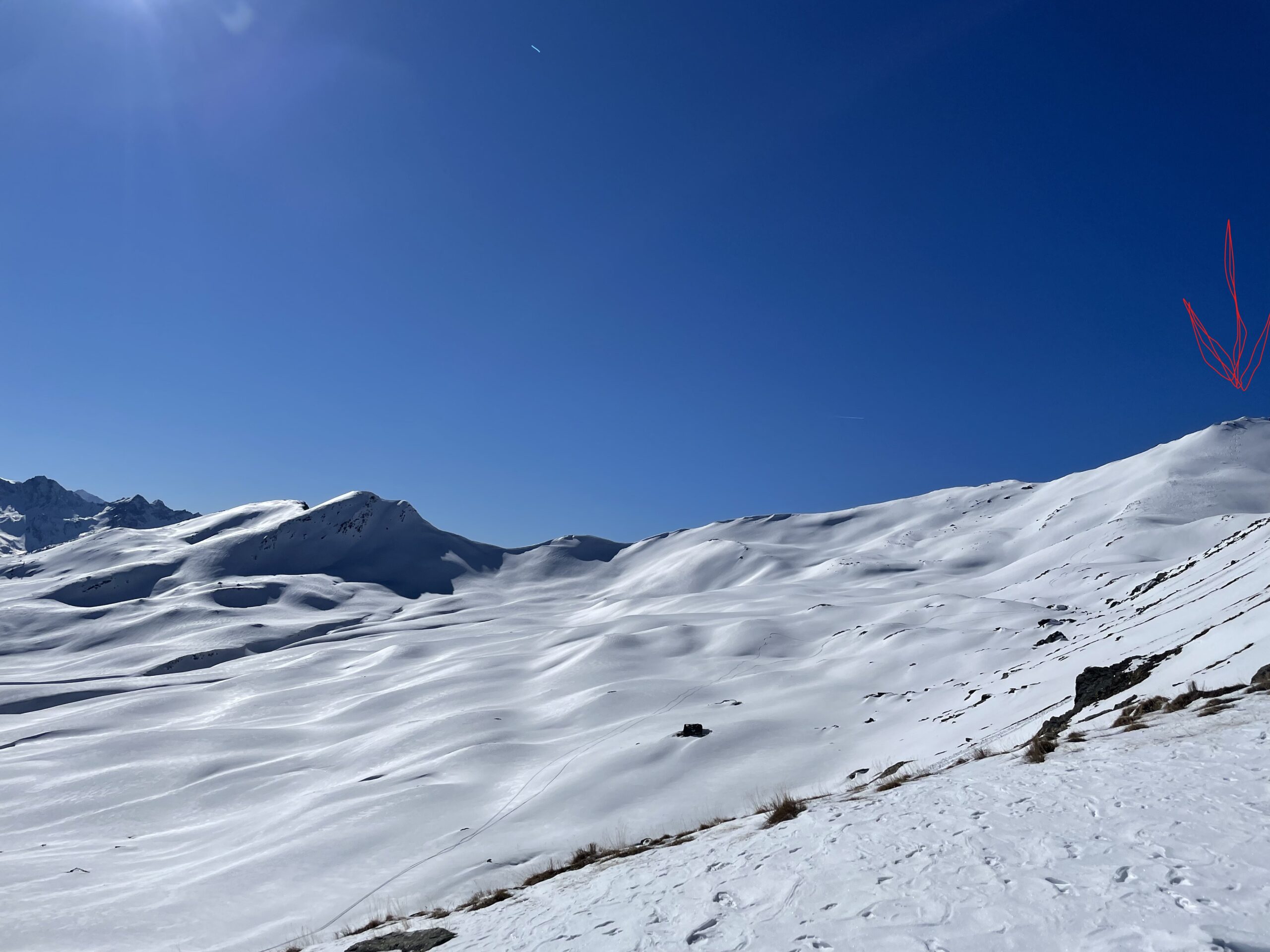
Da qui scendere nel vallone di Planaval cercando di mantenere la sinistra idrografica e sciando i bei pendii sotto alla bastionata rocciosa della Testa dei Fra, fino a raggiungere la strada che scende dall’alpeggio Rantin.
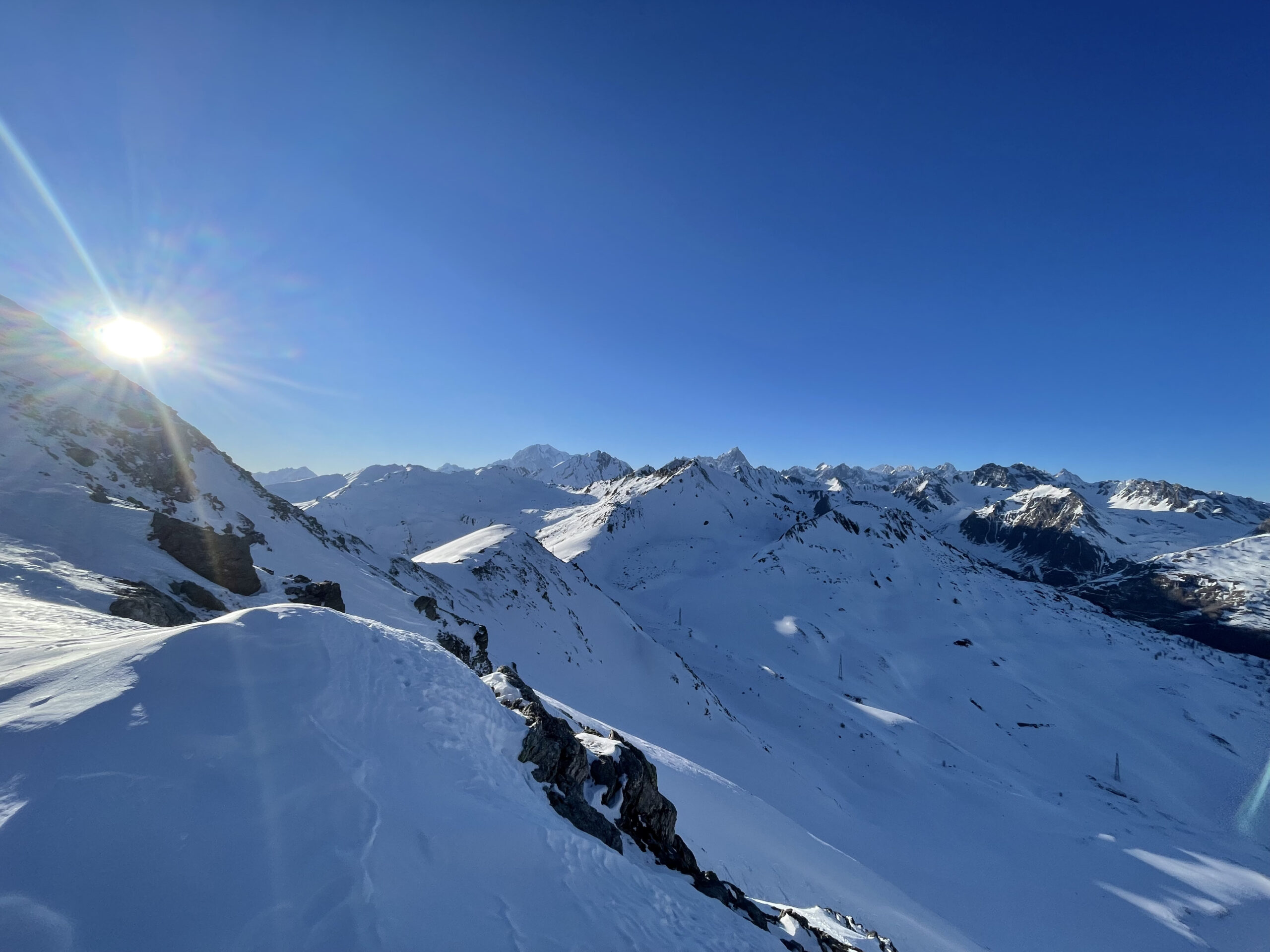
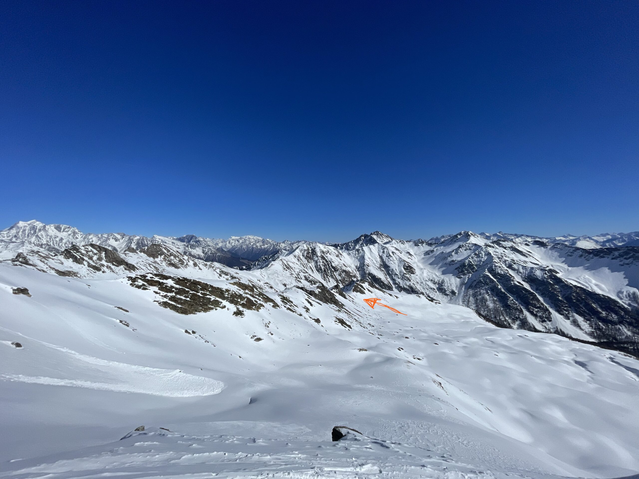
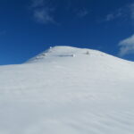
Quando quest’ultima effettua un’evidente curva verso sx attorno a una dorsale (quota 2120mt circa), ripellare e risalire la serie di valloncelli tendendo sempre verso destra salendo, fino a raggiungere l’evidente spalla che è presente sulla dorsale che scende dalla Testa dei Fra. Una volta raggiunta, risulta evidente il col Fetita di fronte. Si risale ora la tutta la dorsale fino a raggiungere la Testa dei Fra (croce in legno nuova, anno 2020).
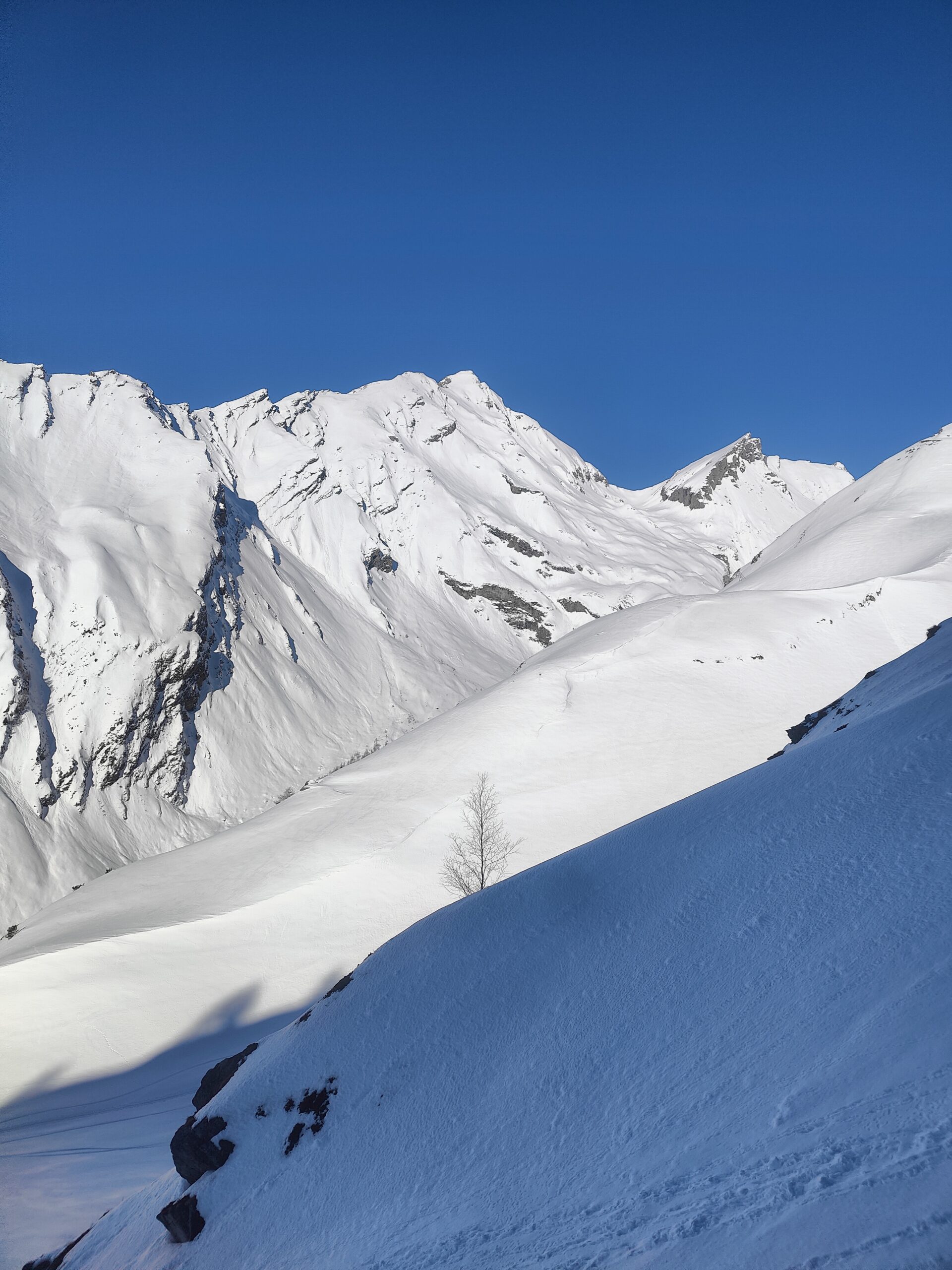
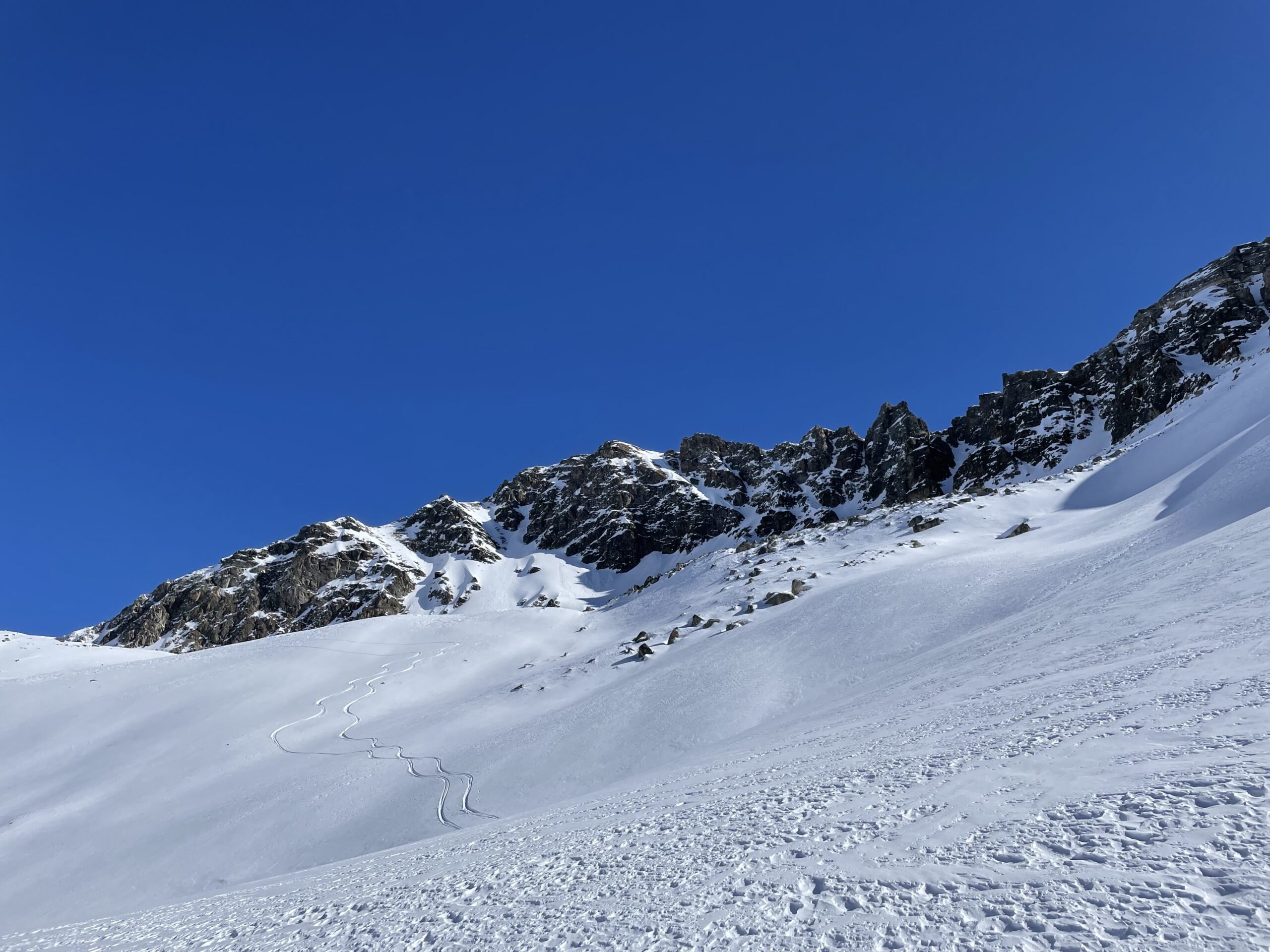
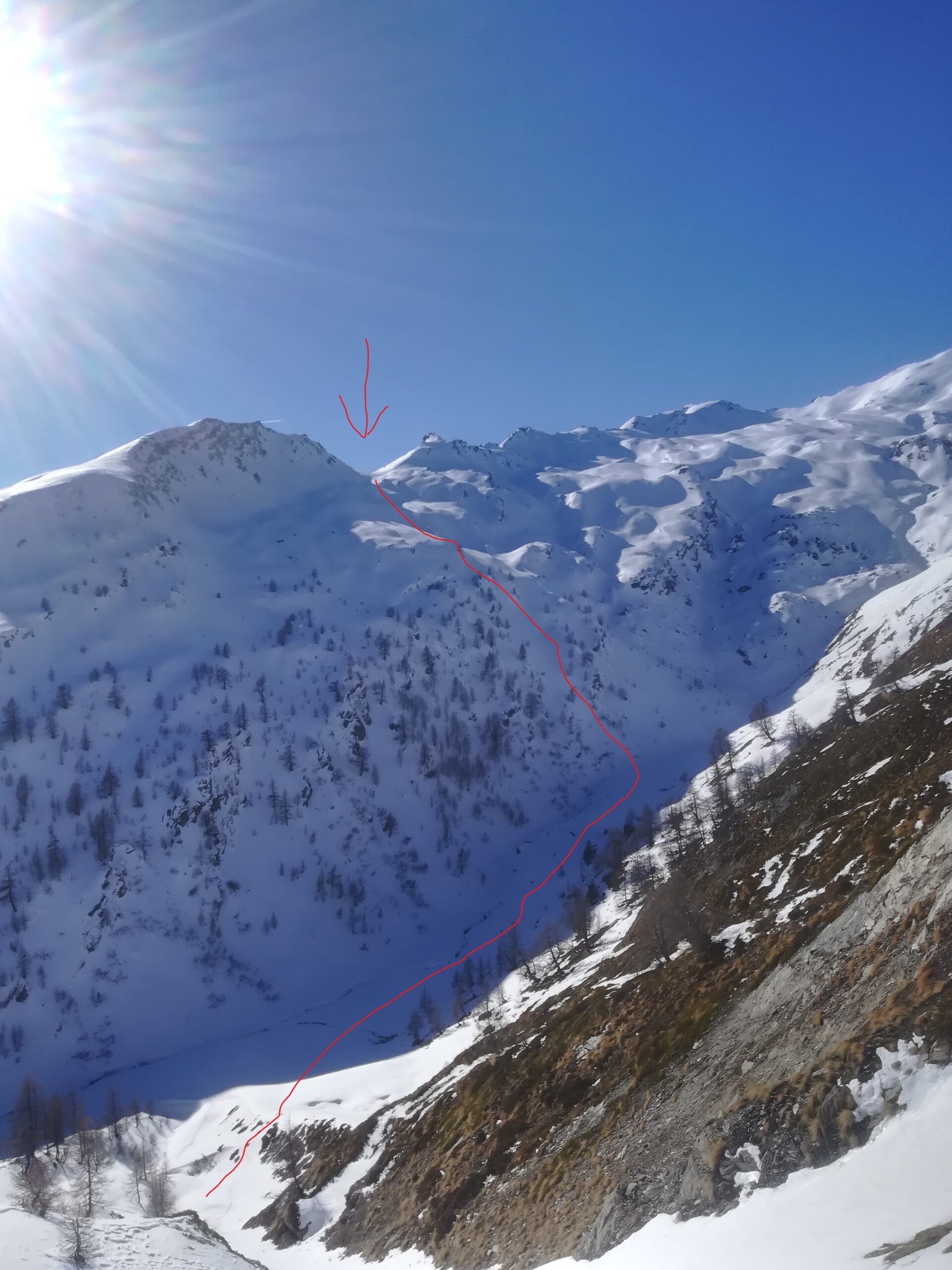
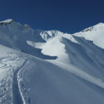
Da qui risulta evidente il col Dzioule (2520 mt), riconoscibile dal momento che costituisce l’unica interruzione della lunga cresta rocciosa che dalla Testa dei Fra scende verso la Comba di Vertosan. Scendere dalla Testa dei Fra fino a portarsi sotto al suddetto colle, ripellare brevemente e raggiungerlo. Scendere nel vallone retrostante, stando leggermente sulla sinistra seguendo una serie di valloncelli ripidi fino a raggiungere il torrente di Vertosan e portarsi sotto al Col Citrin (dove ci sono i tralicci dell’alta tensione). Risalire al Col Citrin seguendo i tralicci.
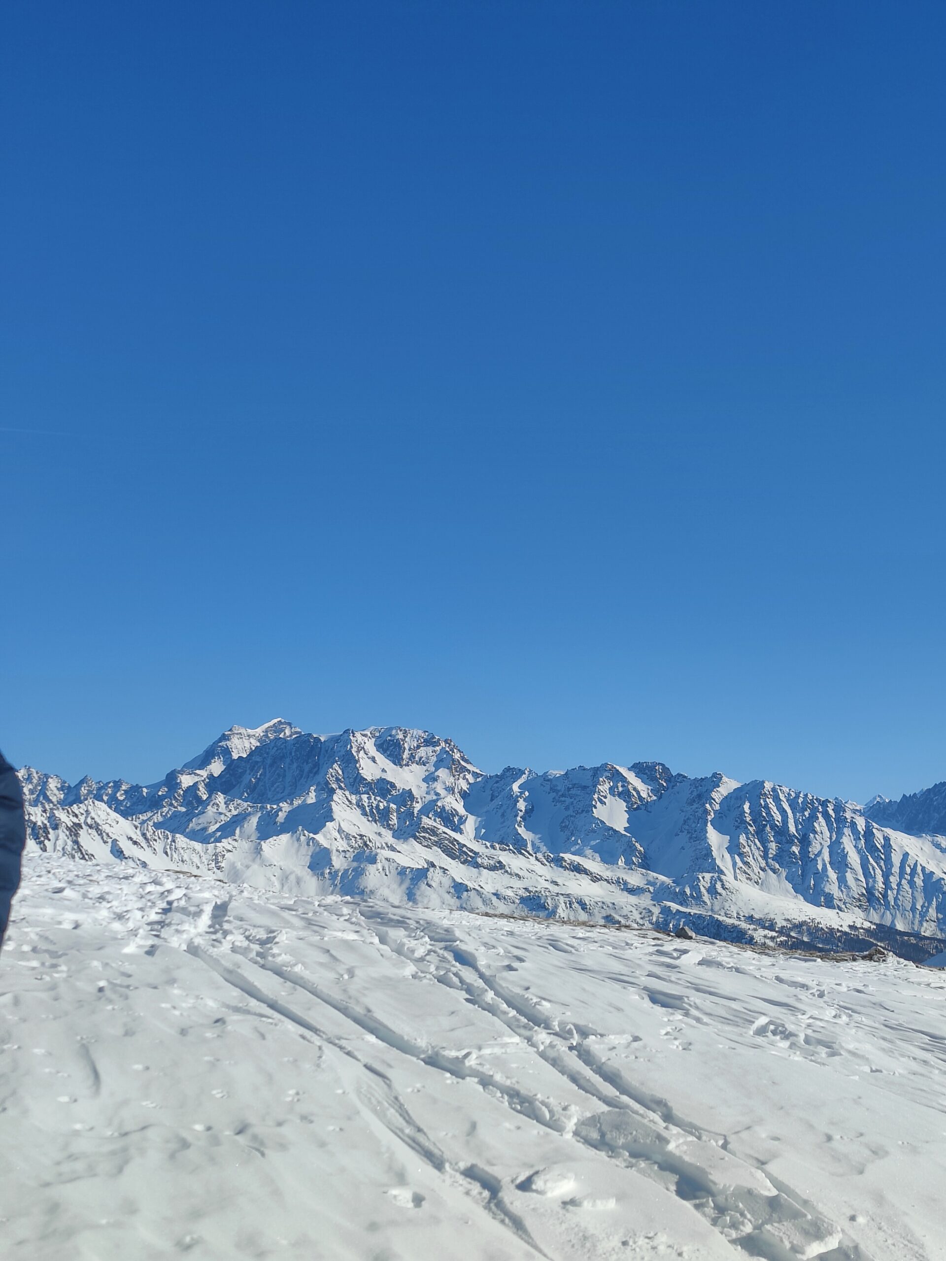
Da qui 3 possibilità:
- scendere nel vallone del Citrin e tornare alla macchina (ultima parte del vallone poco sciabile)
- risalire la dorsale che dal Col Citrin porta all’antecima del Flassin (2730 mt) e discesa per il vallone del Flassin
- risalire la suddetta dorsale fino a dove diventa più ripida e poi attraversare in orizzontale fino a raggiungere il colle tra il Flassin e la Testa Cordella (opzione da scegliere solo in caso di neve estremamente sicura). Discesa per il vallone del Flassin
Probabile prima ripetizione Volpiano Riccardo e Mamone Marco il 26/02/2022, da cui il nome Anello del Volpone
Nelle vicinanze Mappa
Itinerari
05/12/2023 AO, Saint-Rhemy-En-Bosses D+ 700 m MS Sud
Bassa (Testa) o Basse Tète da Ronc
 600m
600m
27/12/2025 AO, Saint-Rhemy-En-Bosses D+ 1200 m BS Nord-Est
Ceingles (Col des) da Mottes, traversata a Saint Rhemy per il Col di Saint Rhèmy
 2.3Km
2.3Km
26/04/2026 AO, Saint-Rhemy-En-Bosses D+ 890 m MS Nord
Serena (Col) da Crévacol
11/04/2026 AO, Saint-Rhemy-En-Bosses D+ 1110 m BS Nord-Est
Serena (Costa nord di) da Crévacol
 2.3Km
2.3Km
27/02/2021 AO, Saint-Rhemy-En-Bosses D+ 1150 m MSA Sud-Est
Entremont (Pointe ovest d’) da Mottes per il Col de Faces
 2.3Km
2.3Km
29/03/2026 AO, Saint-Rhemy-En-Bosses D+ 1116 m BS Nord
Serena (Costa centrale di) da Crévacol
 2.3Km
2.3Km
30/11/2025 AO, Saint-Rhémy-en-Bosses D+ 866 m MS Sud
Bortsalet (Mont) da Crevacol
 2.3Km
2.3Km
23/12/2025 AO, Saint-Rhemy-En-Bosses D+ 1008 m OS Nord
Corleans (Crete de) forcella 2658 m – Canale delle Sirene da Mottes
 2.3Km
2.3Km
11/04/2026 AO, Saint-Rhemy-En-Bosses D+ 1050 m BS Nord-Est
Serena (Col) quota 2709 m NO da Mottes
 2.3Km
2.3Km
26/01/2026 AO, Saint-Rhemy-En-Bosses D+ 1626 m BS Tutte
Grand Creton quota 3047 m da Mottes per il col Serena
 2.3Km
2.3Km
Servizi
500m
 800m
800m
Hotel Des Alpes Albergo
Saint-rhemy-en-bosses 800m
800m
Ristorante Des Alpes Ristorante
Saint Rhemy 1.4Km
1.4Km
La Vieille Cloche B&B
Saint-rhemy-en-bosses 1.6Km
1.6Km
Grand Golliat Ristorante
Saint-Rhemy-En-Bosses 1.6Km
1.6Km
Grand Golliat B&B
Saint-rhemy-en-bosses 1.8Km
1.8Km
Arp du Jeu Ristorante
Saint-rhemy-en-bosses 1.9Km
1.9Km
Prosciutteria Sous le pont de Bosses Ristorante
Saint-rhemy-en-bosses 2.2Km
2.2Km
Scuola sci Gran San Bernardo Professionisti
Saint-rhemy-en-bosses 2.7Km
2.7Km