500m
500m
Note
 600m
700m
750m
750m
750m
900m
2.5Km
2.5Km
2.5Km
600m
700m
750m
750m
750m
900m
2.5Km
2.5Km
2.5Km
500m
4.2Km
4.6Km
5Km
5Km
5Km
5.1Km
5.5Km
6.2Km
7Km
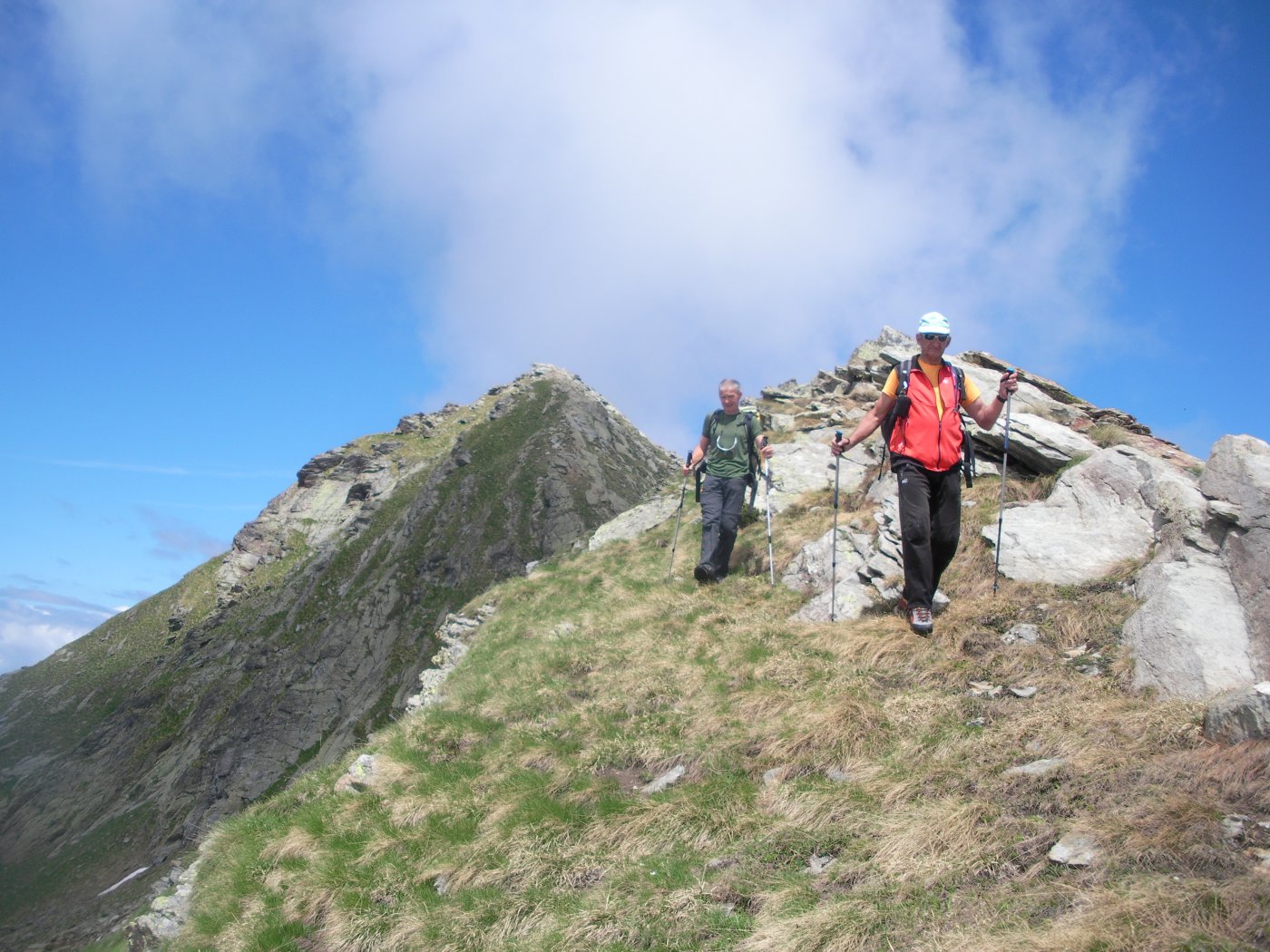
Facile escursioni a doppio anello nella riserva naturale del lago di Villa sulla dorsale dx org della valle d’Ayas tra Verrès e Challand-Saint-Victor che si svolge su facili sentieri e su interpoderali.
Avvicinamento
.
Descrizione
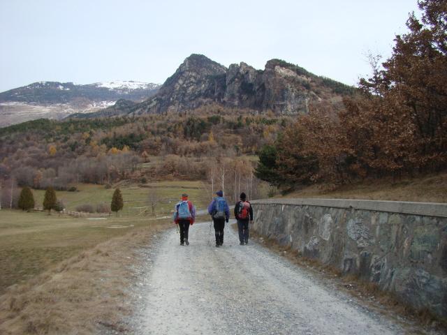
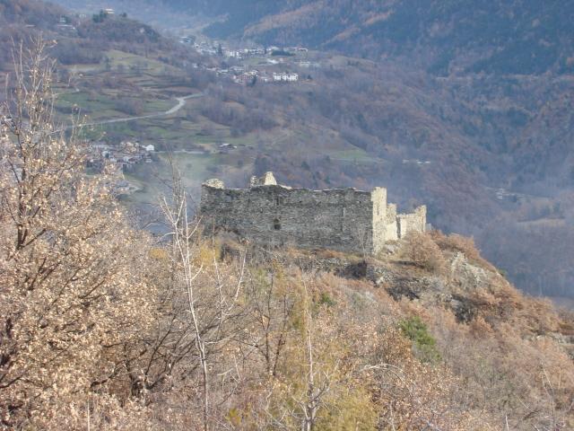
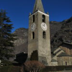
Raggiunta la frazione di Targnod 700m poco dopo Verrès e prima di Challand-Saint-Victor, sul lato sx della strada (salendo la valle) vi è un incrocio percorrendo il quale di li a poco si incontra la strada secondaria che proviene da sud. Si svolta a dx in direzione nord (siamo sul sentiero VA Via Alpina che giunge dalla Croce di San Gilles). Percorso un breve tratto, sulla sx con indicazione per il Chateau de Ville, parte un sentiero che conduce al castello 867m e successivamente al Belvedere 965m. Da qui si scende sul sentiero di dx che porta alla strafa asfaltata del lago di Ville. Raggiunta la strada 856m si trova un pannello con le indicazioni sulla riserva naturale; guardando il panello sulla dx parte un sentiero che sale decisamente nel bosco e offre alcuni ampi punti panoramici. Raggiunta la sommità 984m, poco dopo che il sentiero spiani e prima che inizi a scendere verso est, occorre abbandonare il sentiero segnato per il sentiero che sale lievemente a sx e che di li a poco incrocia le poderali che salgono dal lago di Ville. Mantenendo la dx si raggiunge un primo colletto 1000m e successivamente raggiunto il tratto asfaltato ci si trova al col d’Arlaz 1030m.
Si prosegue ora sulla poderale (sent n.31), in direzione nord est, che costeggia il ru d’Arlaz sino ad incrociare le condutture; dove si abbandona il sentiero e si risale la lunga scalinata sul lato sx delle condutture sino a raggiungere la località di Pian Abellies 1272m (invaso artificiale per la raccolta delle acque). Questa è la massima elevazione dell’escursione, si prosegue sulla poderale che scende a Orbellaz 1148m dove alle prime case si svolta a dx (indicazione) proseguendo sullo sterrato (sentiero n.31) che costeggia il ru sino a raggiungere nuovamente le conduttore (che si superano tramite un sottopasso) e proseguire ancora raggiunge nuovamente il col d’Arlaz.
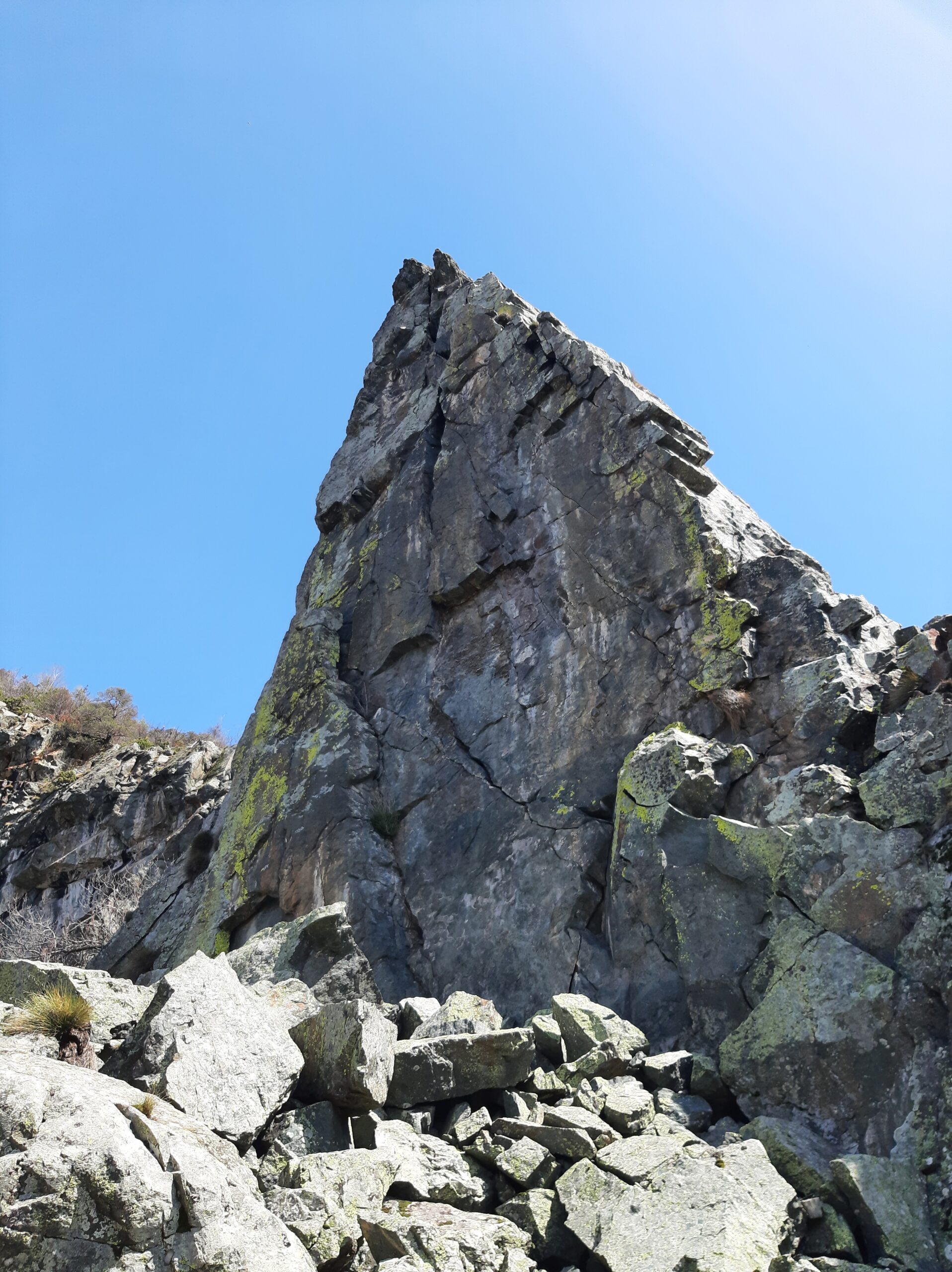
Poco prima del colle sulla sx, ben segnalato, parte il sentiero n.4 che scende decisamente (tagliando in più punti la poderale) ad Aba 920m e raggiunge Nabian 845m, dove nei pressi della chiesa si prosegue verso sud su sentiero segnato sino a passare a monte di Challand-Saint-Victor che parte di fronte alla chiesa della Madonna Addolorata e si raggiunge il punto di partenza di Targnod – terminando l’escursione (17Km).
- Cartografia:
- Bassa Valle d’Ayas e Gressoney n.12 1/25000 ed:L'escursionista Zavatta
- Bibliografia:
- Gulliver relazione: Arlaz (Flambeau e Colle di) Anello da Verres-Croce St.Gilles-Chateau Villa-Lago Villa di Erba Olina
Nelle vicinanze Mappa
Itinerari
04/01/2024 AO, Challand-Saint-Victor D+ 873 m E Varie
Cammino Balteo tappa n.6 da Challand Saint Victor a Saint Vincent
 600m
600m
13/10/2024 AO, Challand-Saint-Victor D+ 80 m T Varie
Villa (Lago di) da Challand Saint Victor
 700m
700m
29/03/2025 AO, Challand-Saint-Victor D+ 590 m T Varie
Saint Gilles (Monte) da Challand Saint Victor per il Lago di Villa
 750m
750m
26/03/2025 AO, Challand-Saint-Victor D+ 2150 m EE/F Ovest
Mortens (Becca) da Isollaz per il Vallone di Tron e la cresta SE
 750m
750m
29/05/2005 AO, Challand-Saint-Victor D+ 120 m T Varie
Isollaz (Cascate di) da Isollaz
750m
14/05/2023 AO, Challand-Saint-Victor D+ 1701 m EE Varie
Chalex (Becca de) da Isollaz
 750m
750m
02/06/2020 AO, Verrès D+ 1900 m EE Nord-Ovest
Aquila (Monte) da Omens per la dorsale ovest
 900m
900m
25/03/2026 AO, Verrès D+ 330 m T Nord-Est
Conge (Monte) da Verrès
 2.5Km
2.5Km
02/03/2024 AO, Verrès D+ 1000 m E Varie
Arlaz (Flambeau e Col d’) da Verres, anello per Croce di Saint Gilles, Chateau e Lago di Villa
 2.5Km
2.5Km
29/01/2022 AO, Verrès D+ 345 m T Varie
Via Francigena Tappa AO5: da Verres a Pont Saint Martin
 2.5Km
2.5Km
Servizi
500m
4.2Km
Da Vincenzo Ristorante
Montjovet
4.6Km
Nigra Albergo
Montjovet
5Km
Dell’Isola Ristorante
Arnad
5Km
Old Valley Pub Ristorante
Arnad
5Km
Des amies Ristorante
Arnad
5.1Km
La Grolla Campeggio
Challant
5.5Km
La Kiuva Ristorante
Arnad
6.2Km
L’Arcaden Ristorante
Arnad
7Km