3.2Km
3.2Km
Note
Storico
 50m
100m
100m
100m
150m
200m
200m
200m
200m
50m
100m
100m
100m
150m
200m
200m
200m
200m
Prevalentemente Trad (Poche protezioni fisse, presenti in totale 6 spit e 1 resinato su tutta la via, soste a spit. Necessaria serie completa di friend fino al n. 4 BD (fondamentale per l'offwidth di L5), NDA e corde da 60 m. Protezioni in loco da integrare quasi interamente.
Avvicinamento
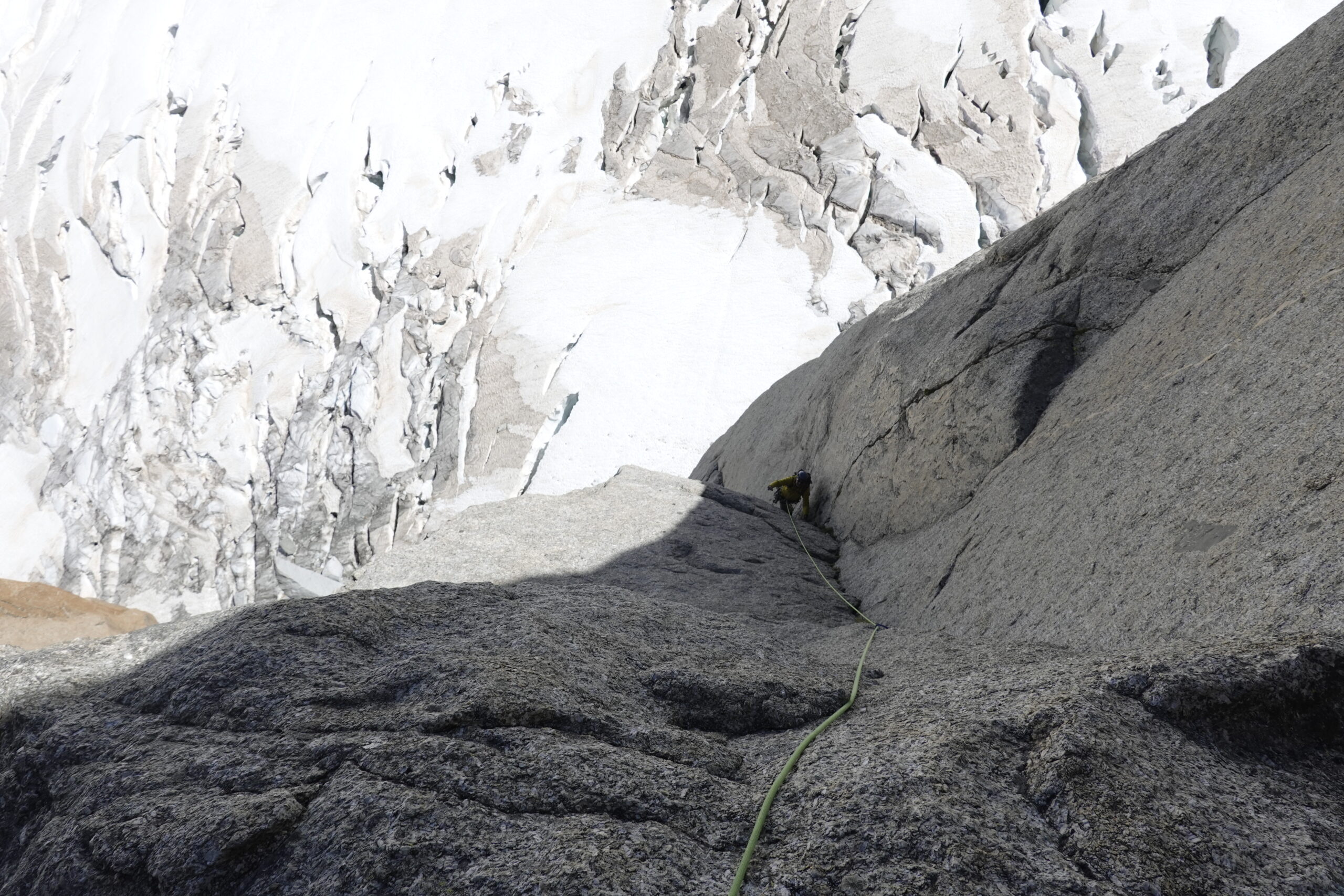
Dal Rifugio Torino (Funivie Skyway Monte Bianco) si traversa il Ghiacciaio del Gigante costeggiando la base dei Satelliti del Mont Blanc du Tacul, puntando alla caratteristica piramide del Pic Adolphe Rey, sulla destra del Grand Capucin. L'attacco si situa sulla parete Sud-Est, sulla verticale del sistema centrale di fessure grigie. Conviene arrivare dall'alto e traversare a destra su neve/sfasciumi fino a reperire un traverso in parete protetto da spit con cordino: risalire su facili gradoni ed attraversare sulle cengie (III) superando una prima sosta a spit fino a reperire la sosta su un gradone alla base di una netta fessura che taglia la placca grigia.
Descrizione
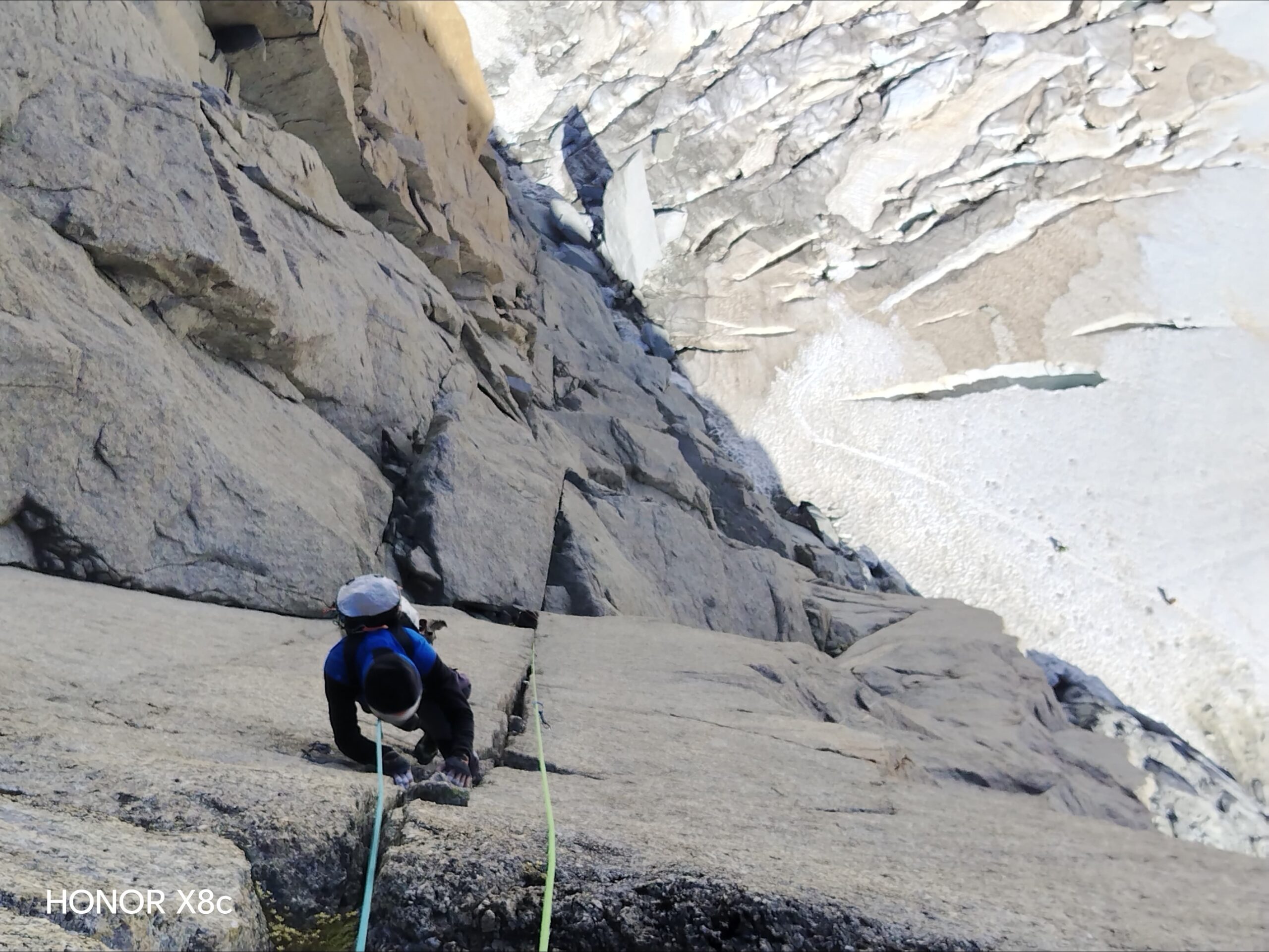
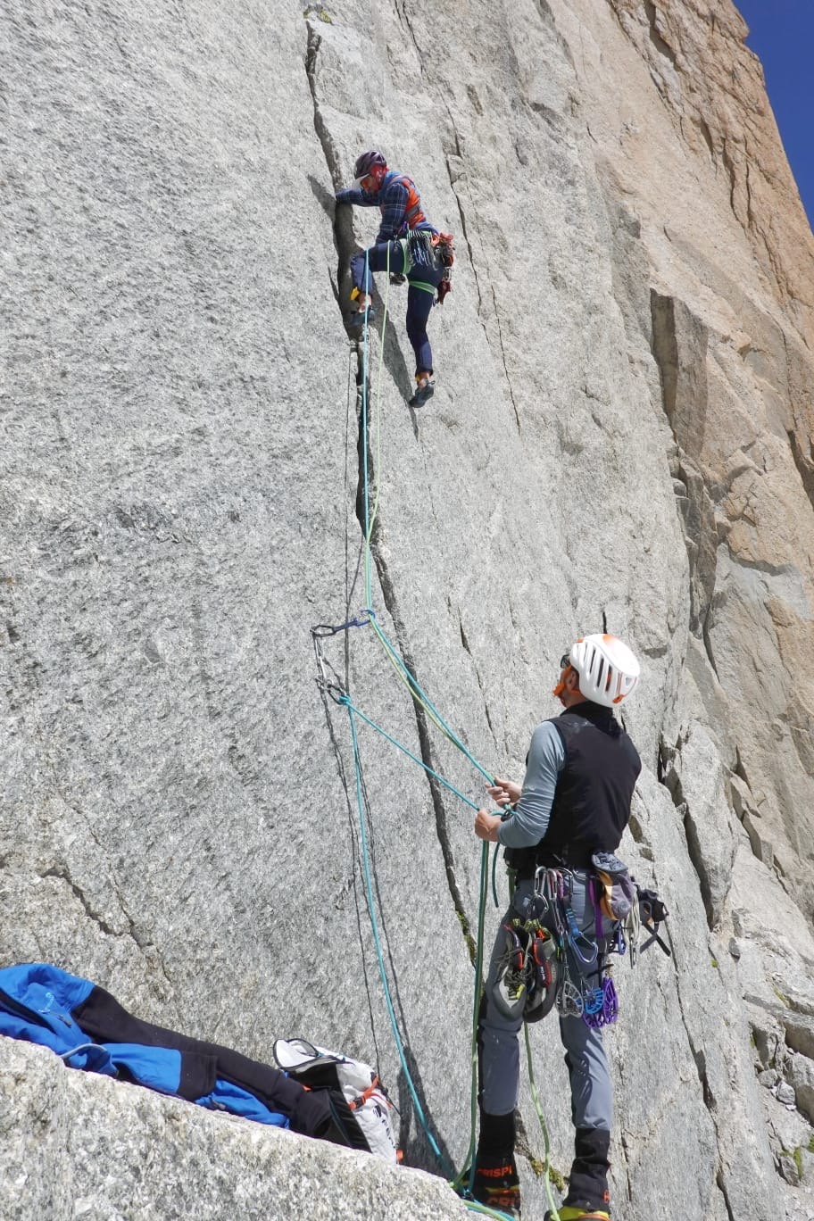
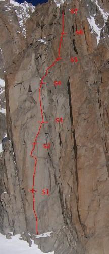
- L1 30m – 5c: salire la fessura non difficile fino ad una grande terrazza alla base di un’evidente lama verticale sotto la quale si incontra la sosta.
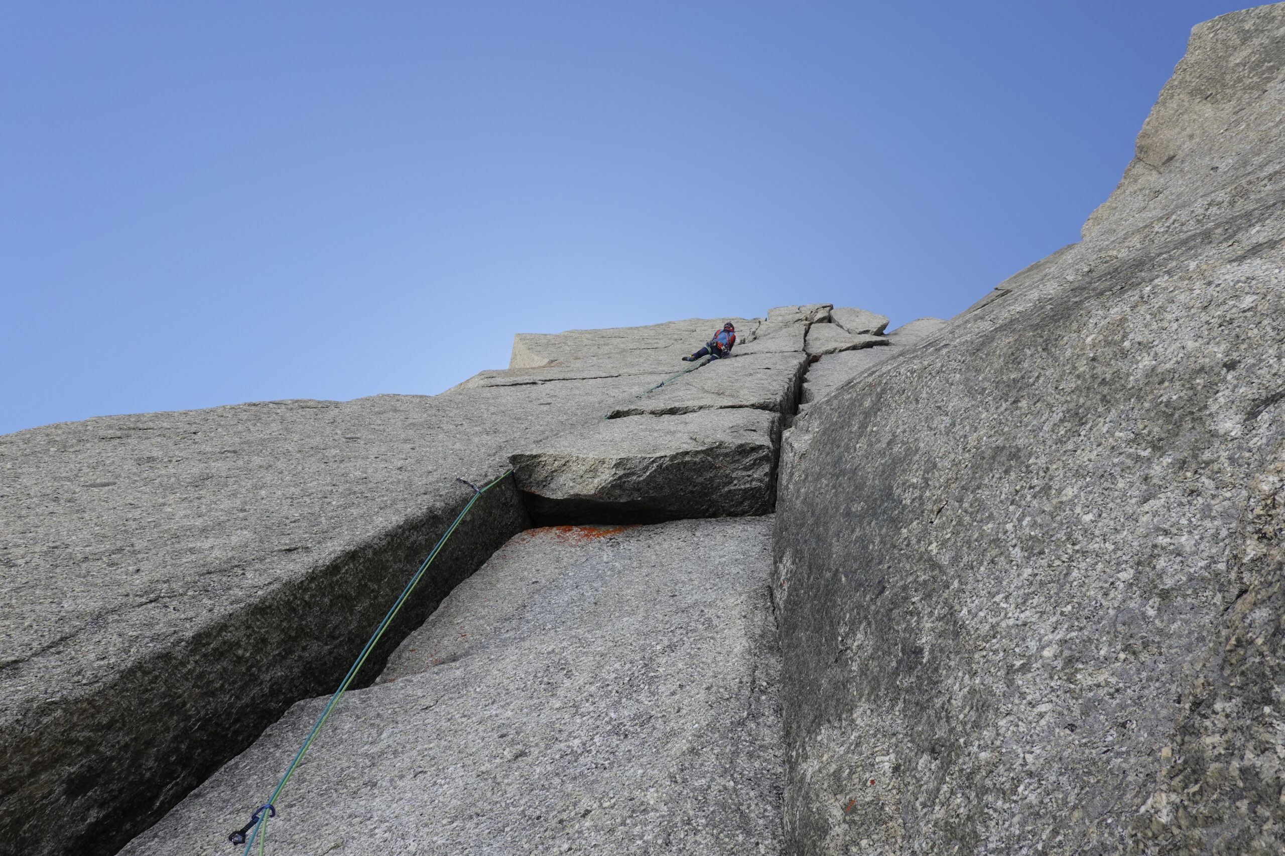
- L2 40m – 6b+: salire la bellissima lama con passaggi atletici in dülfer e incastri. La sosta si trova su un terrazzino sulla destra al centro del diedro.
- L3 30m – 6b: traversare orizzontalmente a sinistra per 15 metri sfruttando una piccola cengia che presenta un passaggio d’equilibrio ben protetto. Terminato il traverso, risalire a destra lungo la facile rampa fessurata.
- L4 20m – 5b: proseguire sulla bella lama/diedro fino ad arrivare rapidamente alla base di due fessure parallele, dove si sosta.
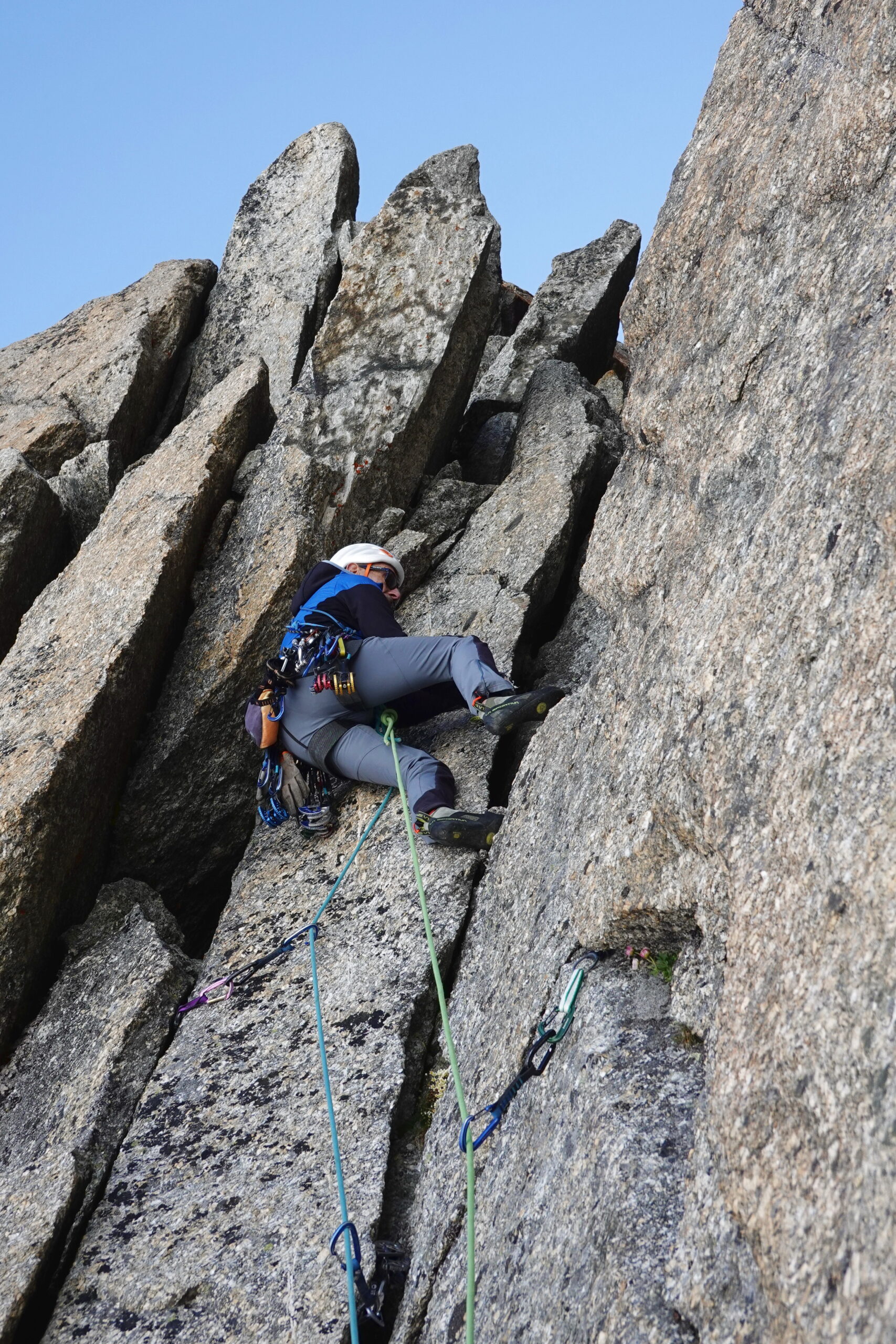
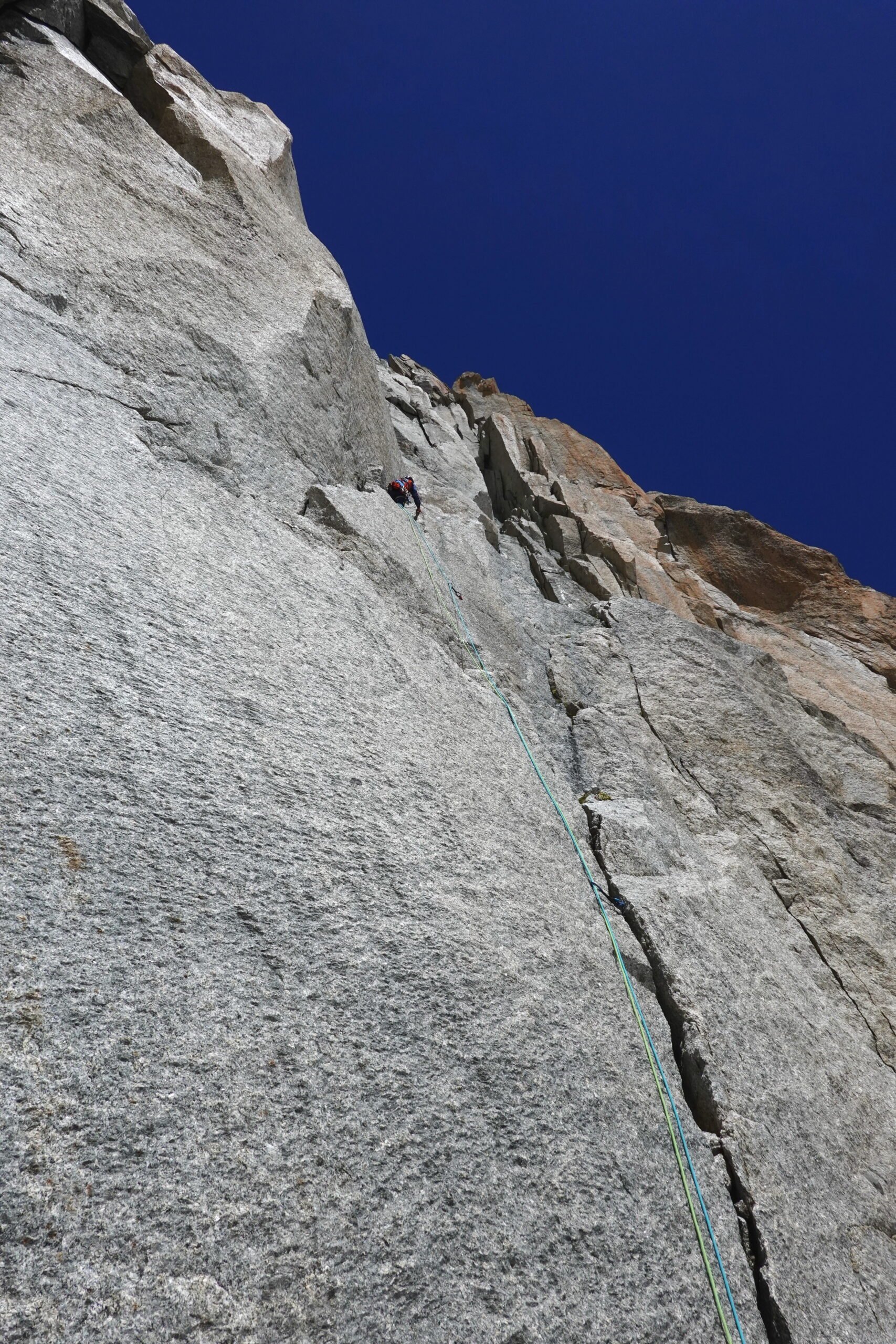
- L5 40m – 6c: Salire la fessura offwidth di sinistra, superare il tettino e proseguire lungo la stessa fessura molto continua che si stringe e si allarga, offrendo a chi la scala tutto il repertorio delle tecniche di incastro. Sicuramente il tiro più bello della via (3 spit).
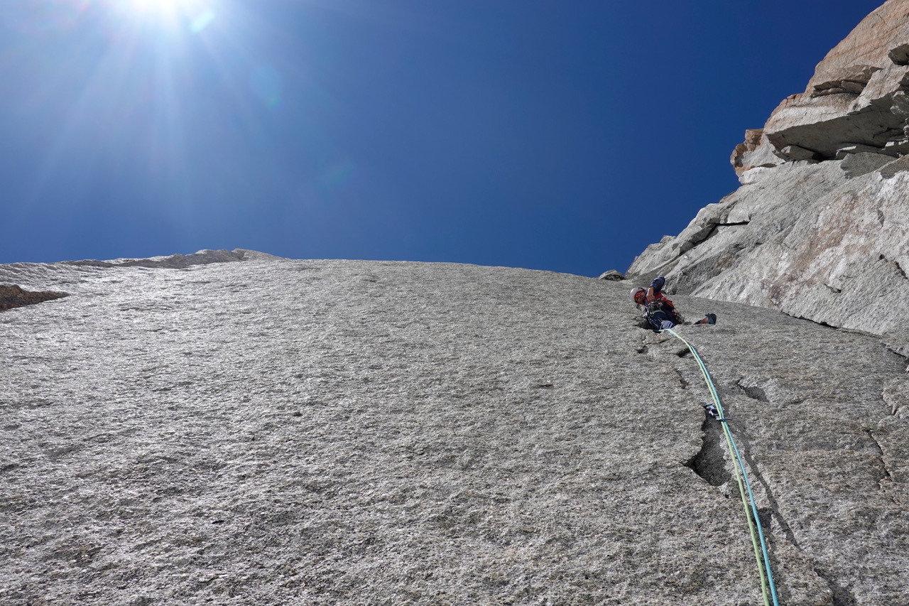
- L6 45m 5b: proseguire obliquando leggermente a destra lungo un diedro aperto.
- L7 35m 5c: continuare lungo il diedro aperto; spostarsi a destra e superato un breve risalto si trova la sosta sulla sinistra, su un comodo terrazzino (1 resinato).
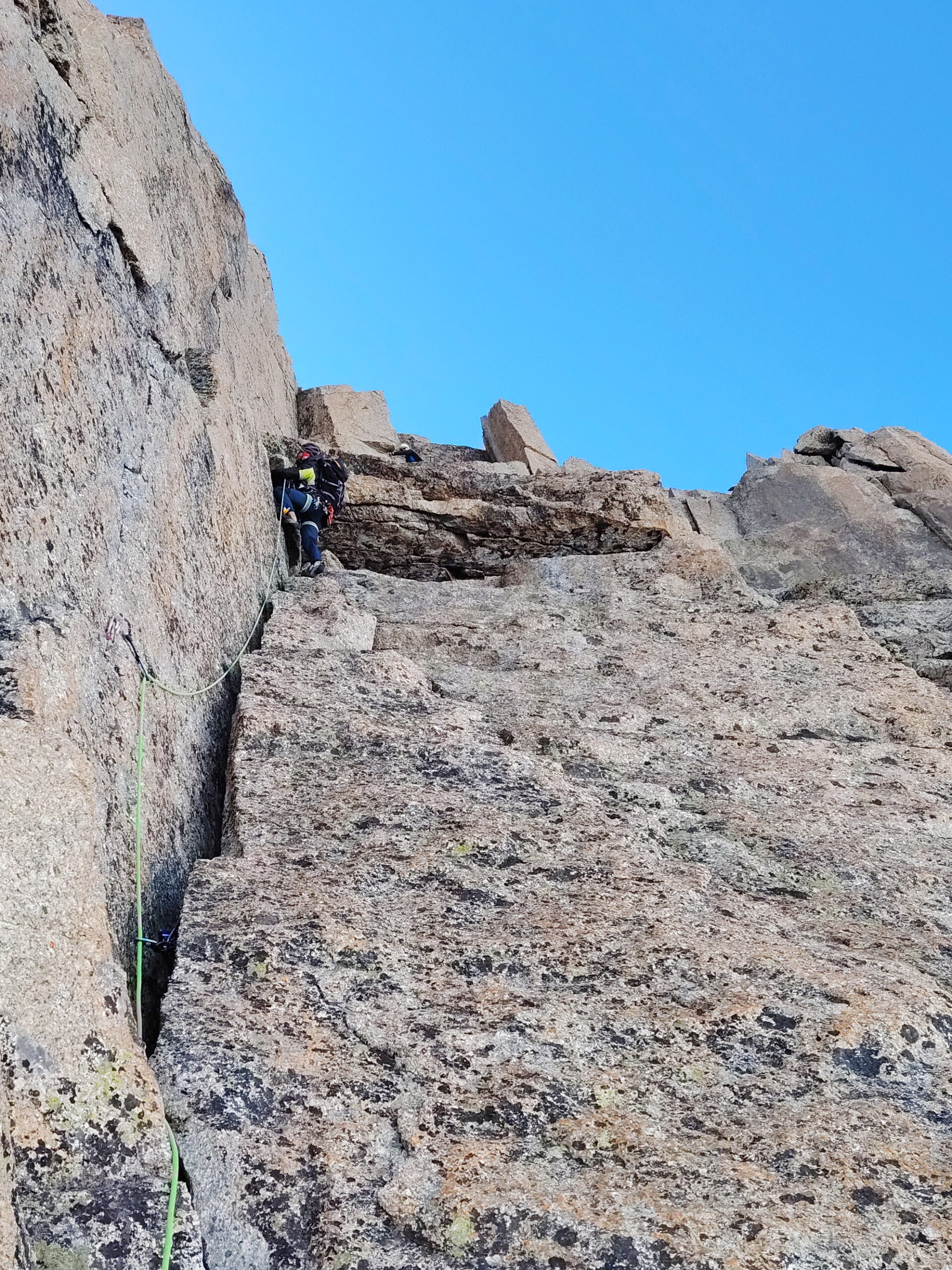
- L8 40m 5c: attaccare il diedro aperto lungo una larga fessura. Raggiunto il punto in cui il diedro si stringe diventando verticale e leggermente strapiombante, traversare sul risalto di destra con un passaggio delicato fino a reperire la sosta di fine via sulla destra.
La discesa si effettua in doppia sulla via di salita. Durante la recente risistemazione sono state attrezzate 3 soste di calata dedicate, rendendo la discesa dalla cima del Pic Adolphe Rey più fluida e diretta lungo la stessa linea della via.
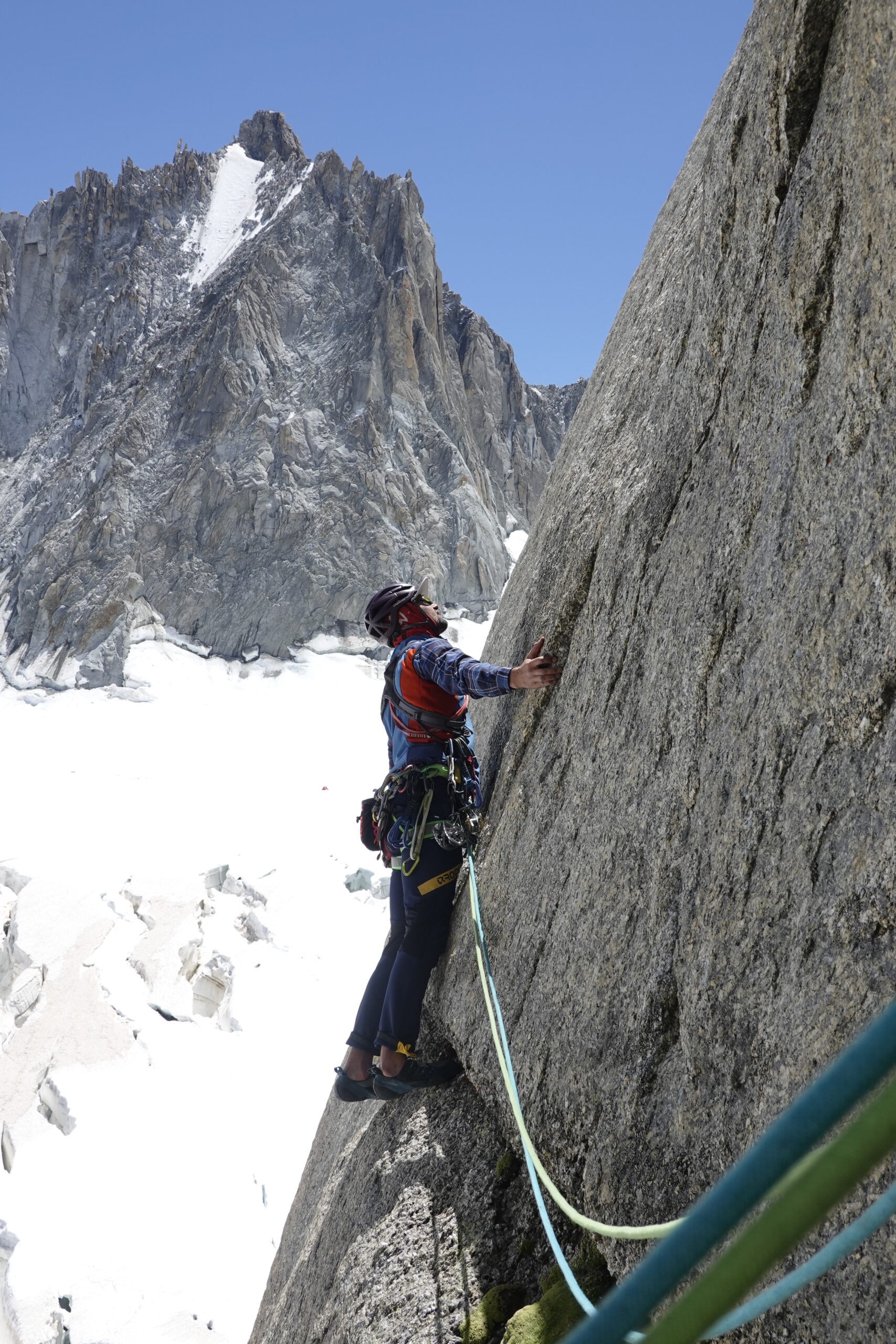
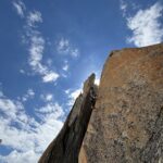
"Nel 1986, insieme a Valerio Bertoglio, aprii una via sulla parete Sud-Est del Pic Adolphe Rey che battezzai "Superlorenzi". L'itinerario superava il tratto centrale della parte sinistra della parete, caratterizzato da granito grigio, seguendo una logica e splendida successione di fessure. Il cuore del progetto erano due magnifiche fessure parallele che incidono la parete nel suo centro: una linea evidente, elegante e totalmente naturale. A distanza di quarant'anni, ho sentito il bisogno di tornare su quelle fessure.
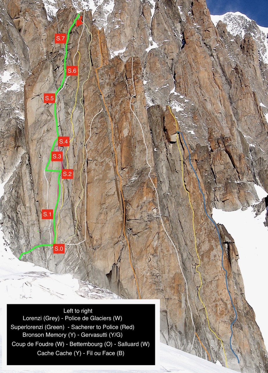
Nel 1990, gli svizzeri Romain Vogler e Alain Studer aprirono un itinerario chiamato "Police des Glaciers" che, nella sua parte centrale, coincide esattamente con la Superlorenzi. Successivamente fu descritta un'altra variante “Sacherer to Police” che si sovrapponeva anche alle due lunghezze iniziali di Superlorenzi.
Con gli anni, la memoria storica ha finito per premiare queste vie successive, in realtà varianti, lasciando la Superlorenzi in secondo piano. Noi salimmo interamente con mezzi tradizionali (chiodi classici e nut), mentre gli itinerari successivi introdussero alcuni spit. Ho sempre considerato l'apertura di una via come un atto creativo, un'intuizione che porta con sé un diritto morale e intellettuale di primogenitura.
Per questo sono voluto tornare lassù insieme agli amici Lorenzo Gaggini e Marco Rainone, per ripercorrere la via, documentarla con foto aggiornate e definirne con precisione le difficoltà, restituendole la giusta visibilità. Per l'occasione, abbiamo aggiunto due chiodi di sicurezza e attrezzato tre soste di calata, rendendo più agevole la discesa in doppia direttamente dalla cima.
Quarant'anni dopo, la Superlorenzi è ancora lì, seducente. Perché le linee più belle appartengono a chi, per primo, ha saputo immaginarle."
Enrico Rosso
Nel 1990, gli svizzeri Romain Vogler e Alain Studer aprirono un itinerario chiamato "Police des Glaciers" che, nella sua parte centrale, coincide esattamente con la Superlorenzi. Successivamente fu descritta un'altra variante “Sacherer to Police” che si sovrapponeva anche alle due lunghezze iniziali di Superlorenzi.
Con gli anni, la memoria storica ha finito per premiare queste vie successive, in realtà varianti, lasciando la Superlorenzi in secondo piano. Noi salimmo interamente con mezzi tradizionali (chiodi classici e nut), mentre gli itinerari successivi introdussero alcuni spit. Ho sempre considerato l'apertura di una via come un atto creativo, un'intuizione che porta con sé un diritto morale e intellettuale di primogenitura.
Per questo sono voluto tornare lassù insieme agli amici Lorenzo Gaggini e Marco Rainone, per ripercorrere la via, documentarla con foto aggiornate e definirne con precisione le difficoltà, restituendole la giusta visibilità. Per l'occasione, abbiamo aggiunto due chiodi di sicurezza e attrezzato tre soste di calata, rendendo più agevole la discesa in doppia direttamente dalla cima.
Quarant'anni dopo, la Superlorenzi è ancora lì, seducente. Perché le linee più belle appartengono a chi, per primo, ha saputo immaginarle."
Enrico Rosso
- Cartografia:
- Monte Bianco - Courmayeur
Nelle vicinanze Mappa
Itinerari
25/05/2026 Haute-Savoie, Chamonix-Mont-Blanc 6c+, 6b obbl. Sud
Adolphe Rey (Pic) – Police des Glaciers
 50m
50m
12/07/2026 Haute-Savoie, Chamonix-Mont-Blanc 7a+, 6b obbl. Sud-Est
Adolphe Rey (Pic) – Coup de Foudre
 100m
100m
27/08/2016 Haute-Savoie, Chamonix-Mont-Blanc 7a, 6a obbl. Sud-Est
Adolphe Rey (Pic) – Total Plook
 100m
100m
12/07/2025 Haute-Savoie, Chamonix-Mont-Blanc 7a, 6b obbl., a1 Sud-Ovest
Adolphe Rey (Pic) – La Notte di San Silvestro
 100m
100m
01/07/2025 Haute-Savoie, Chamonix-Mont-Blanc 6a+, 5c obbl. Sud-Est
Adolphe Rey (Pic) – Via Gervasutti
100m
15/06/2026 Haute-Savoie, Chamonix-Mont-Blanc 6b+, 6a obbl. Sud
Adolphe Rey (Pic) – Via Bettembourg
 150m
150m
10/07/2026 Haute-Savoie, Chamonix-Mont-Blanc 6c+, 6b obbl. Sud-Est
Adolphe Rey (Pic) – Cache Cache
 200m
200m
21/06/2026 Haute-Savoie, Chamonix-Mont-Blanc 6a+, 5c obbl. Est
Adolphe Rey (Pic) – Via Salluard
 200m
200m
04/07/2026 Haute-Savoie, Chamonix-Mont-Blanc 6a, 5c obbl. Est
Adolphe Rey (Pic) – Super Lionel
 200m
200m
23/06/2026 Haute-Savoie, Chamonix-Mont-Blanc 7a, 6b obbl. Est
Adolphe Rey (Pic) – Fil ou Face
 200m
200m