550m
550m



Note
 1.2Km
1.2Km
1.2Km
2.2Km
2.5Km
3.5Km
3.5Km
3.5Km
3.5Km
3.5Km
1.2Km
1.2Km
1.2Km
2.2Km
2.5Km
3.5Km
3.5Km
3.5Km
3.5Km
3.5Km
550m
2.5Km
5.4Km
5.6Km
5.6Km
5.6Km
6Km
6.1Km
6.1Km
6.2Km
Gita facile e veloce.
Avvicinamento
Da Dronero (CN) strada regionale n. 22, prima di Stroppo (al km. 22) bivio per Elva (km. 17). A Elva prima di Serre bivio per borgata Martini dove si parcheggia.
Descrizione
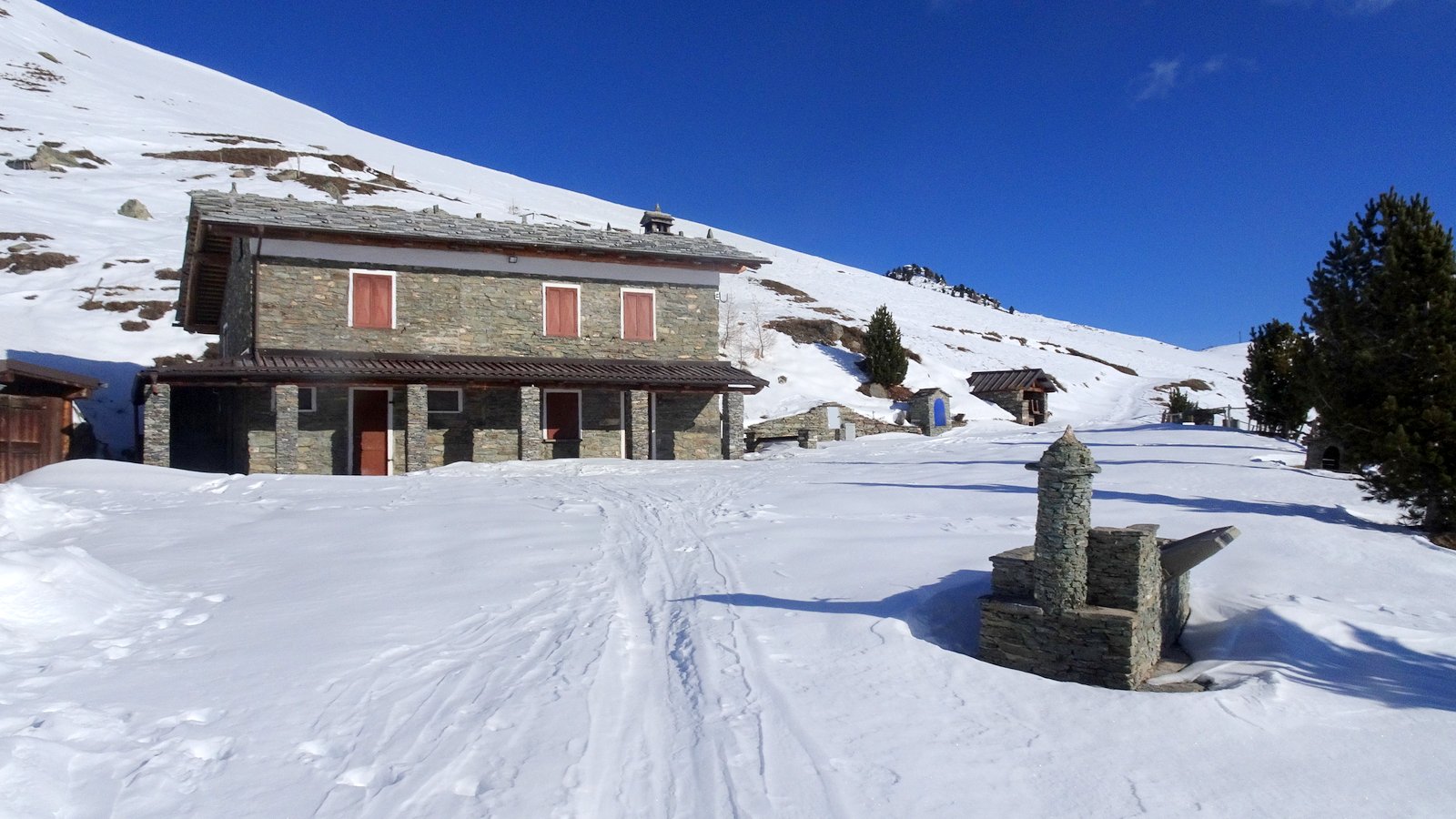
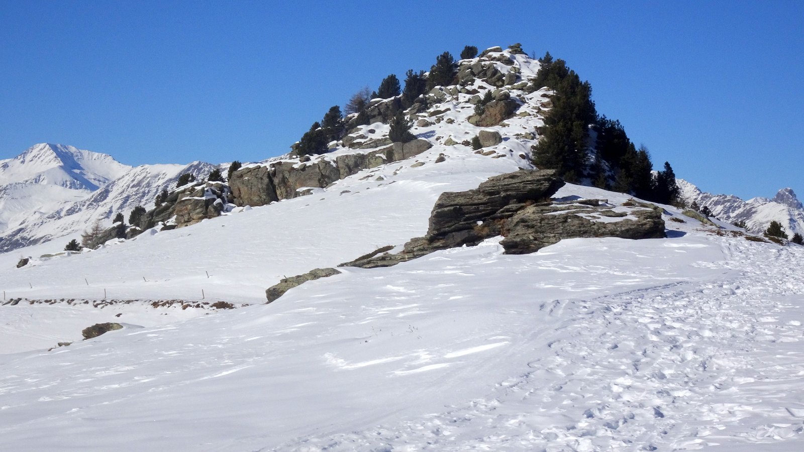
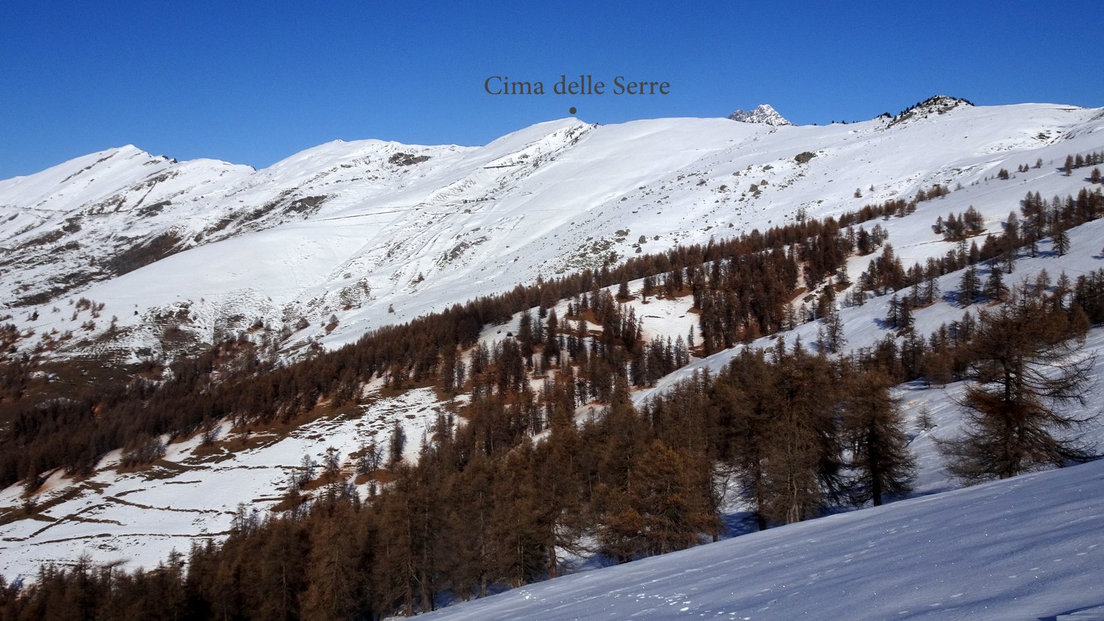
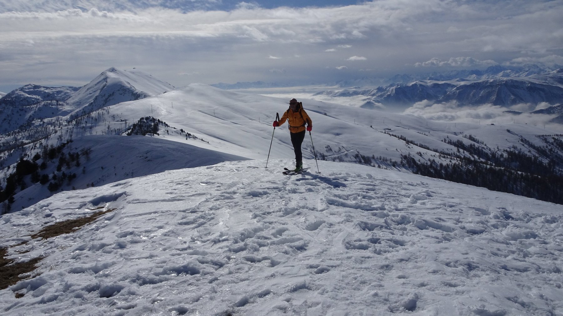
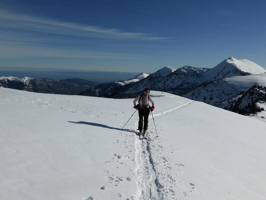
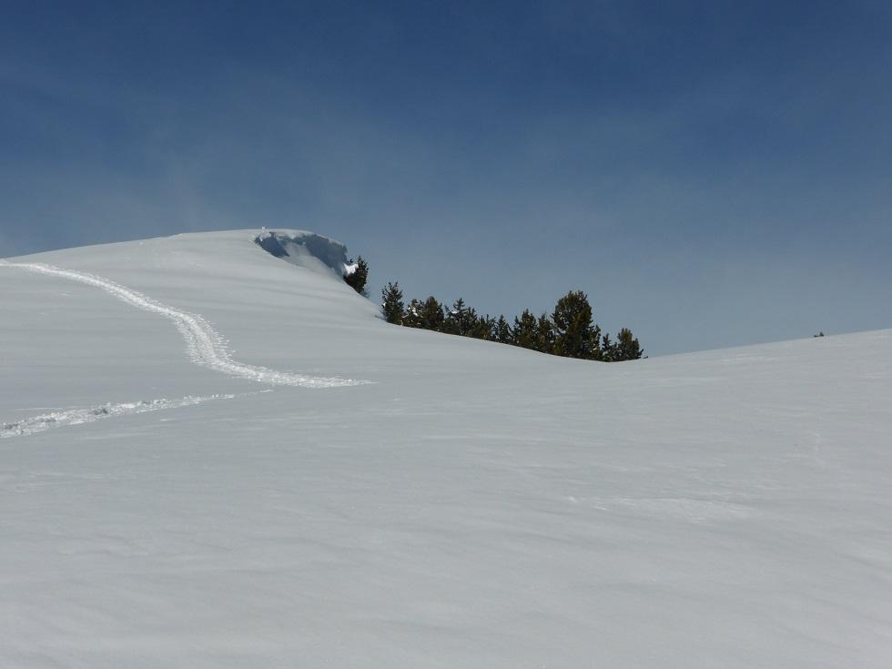
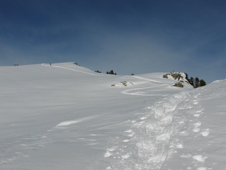
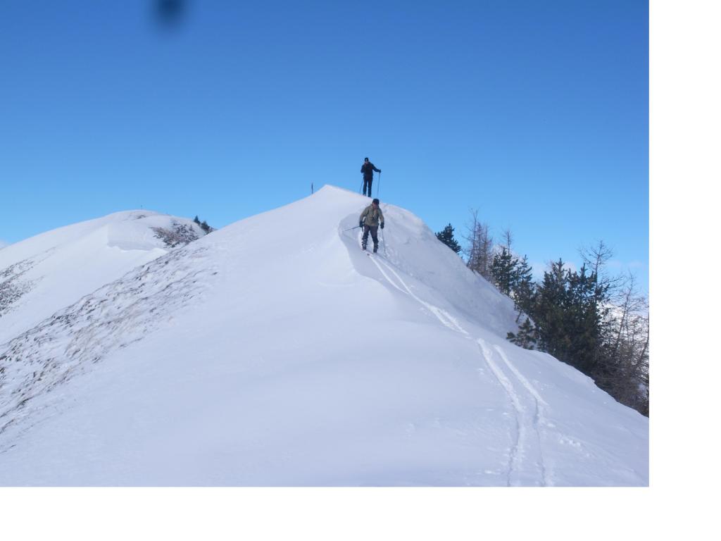
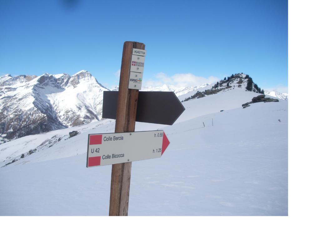
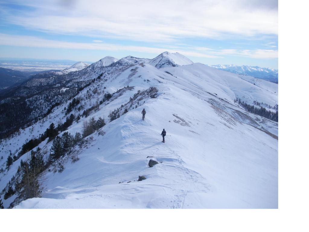
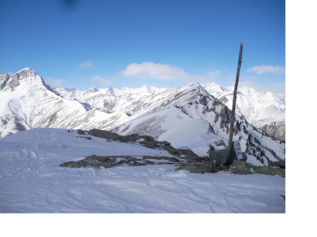
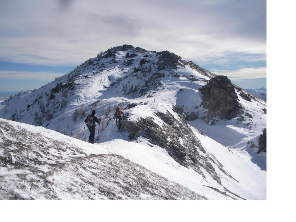
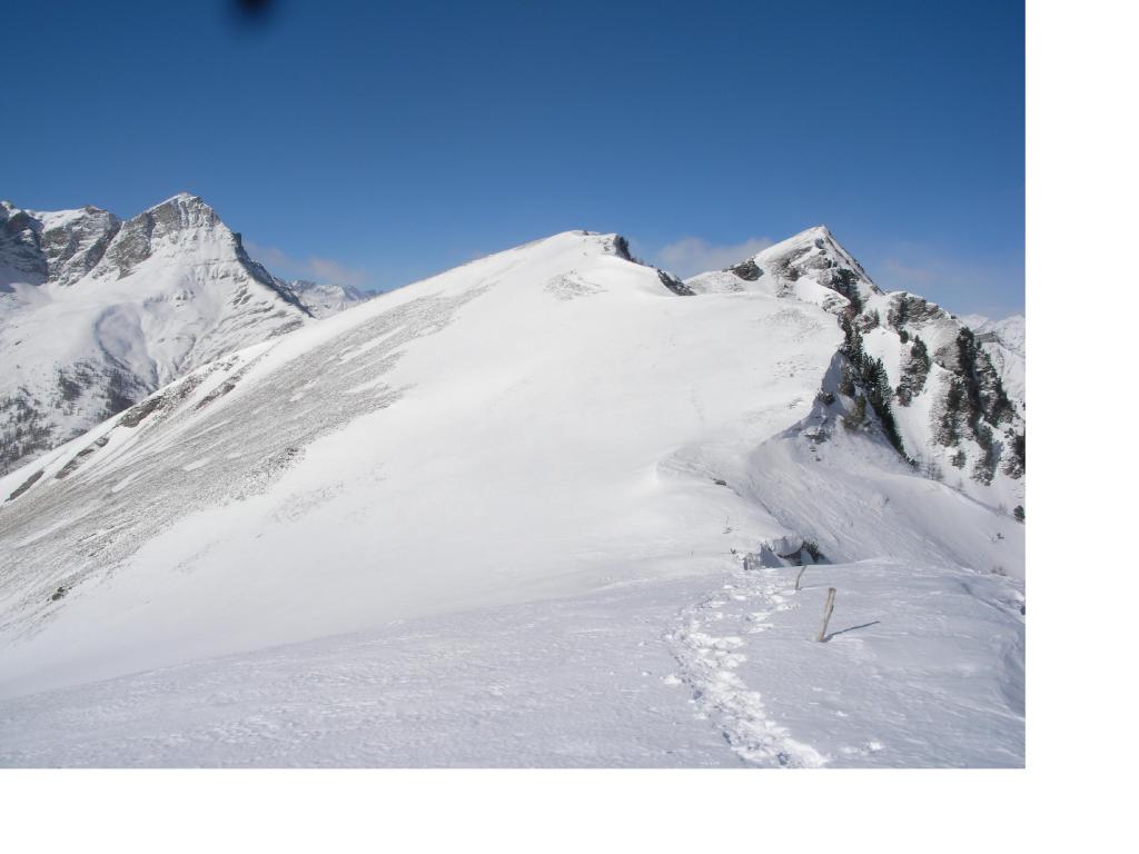
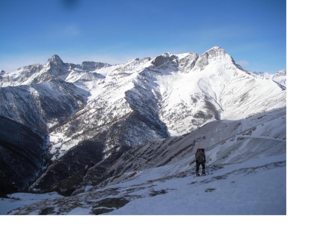
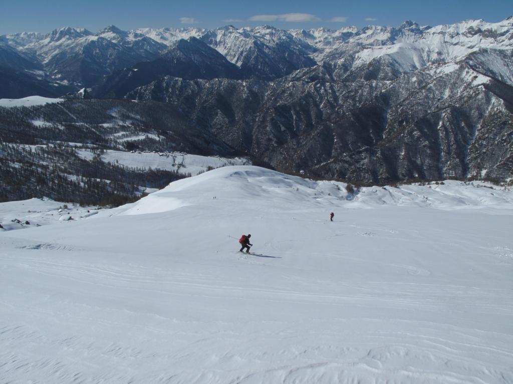
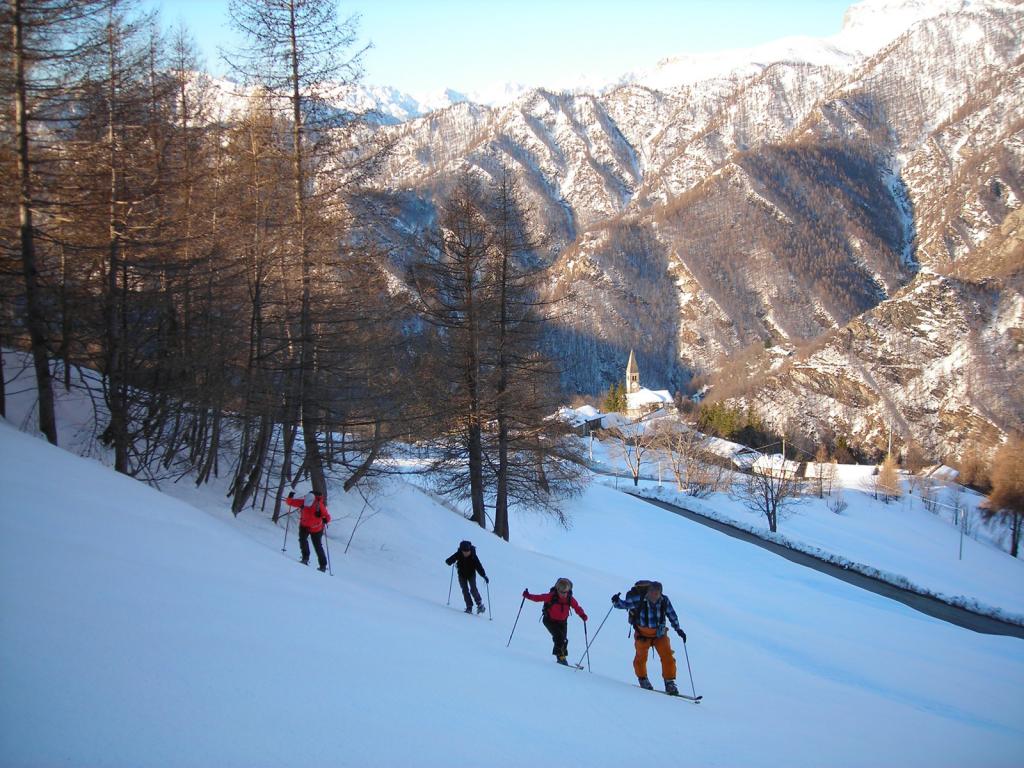
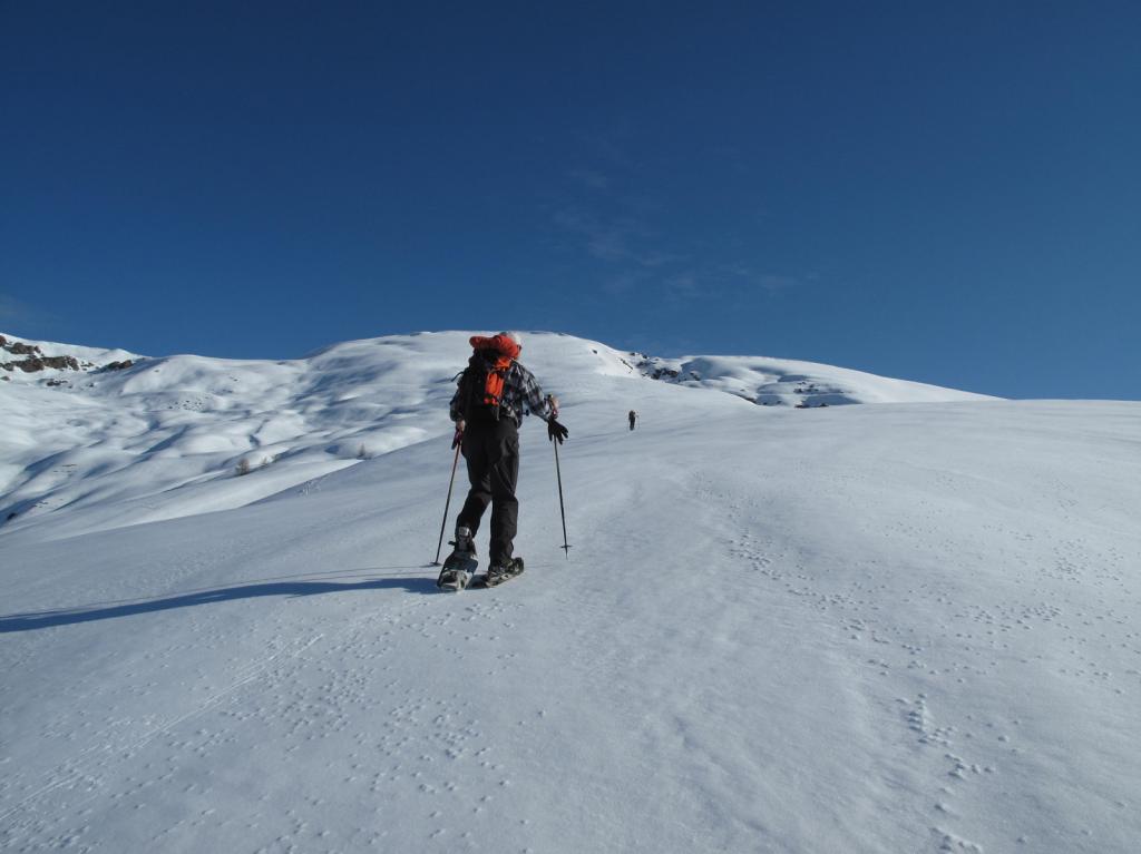
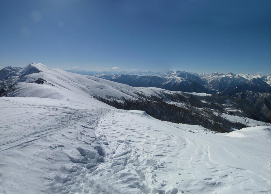
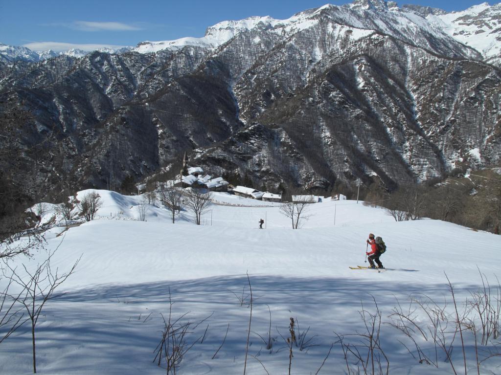
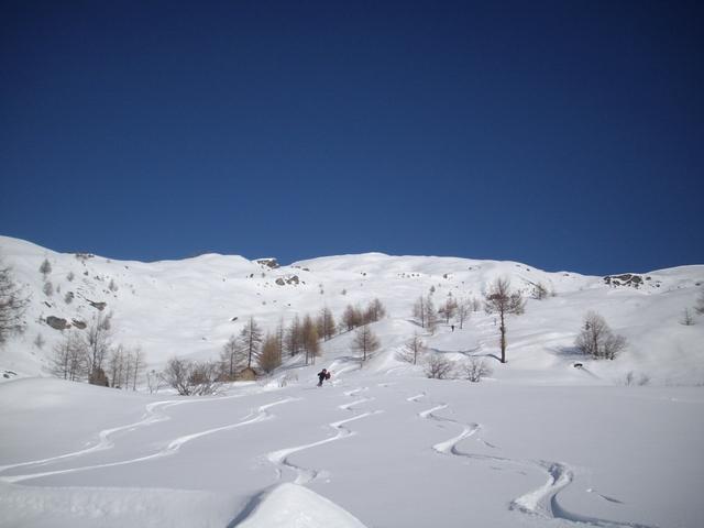
Si sale dal prato a destra di una stalla, si attraversa un boschetto e quindi si risale la dorsale fino alla cima, attraversando la strada militare dei Cannoni.
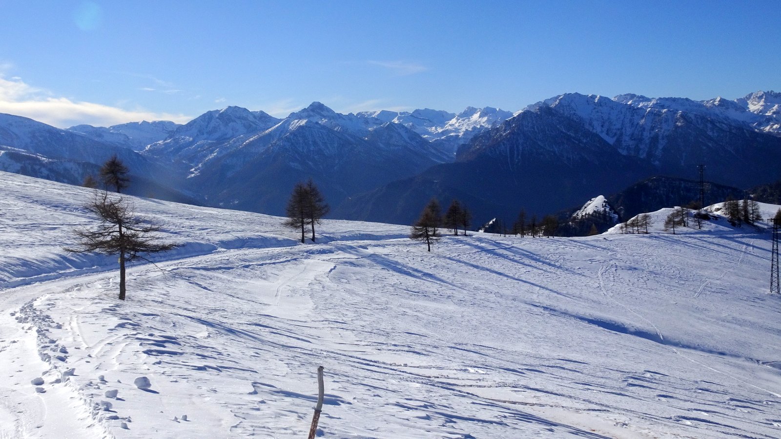
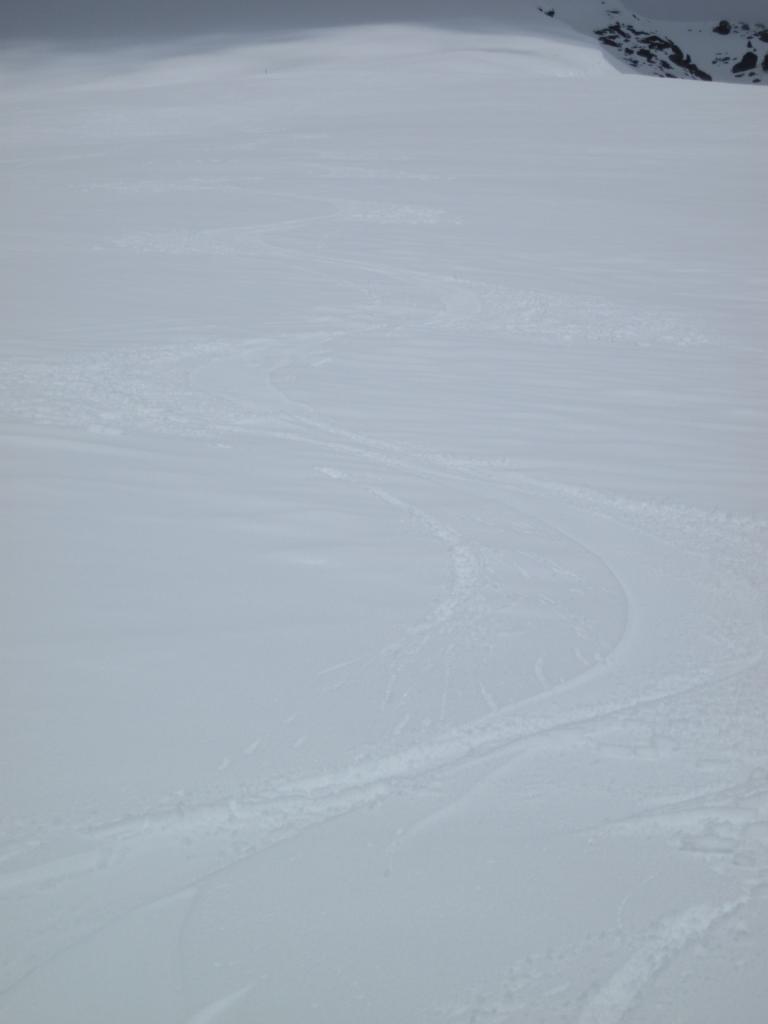
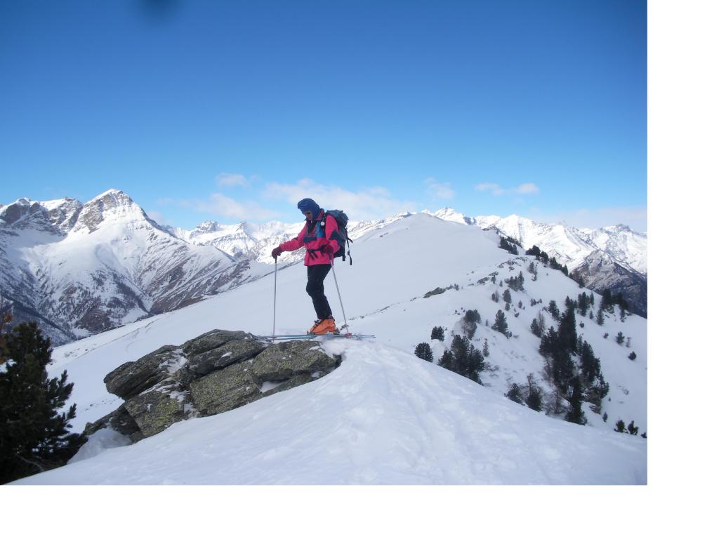
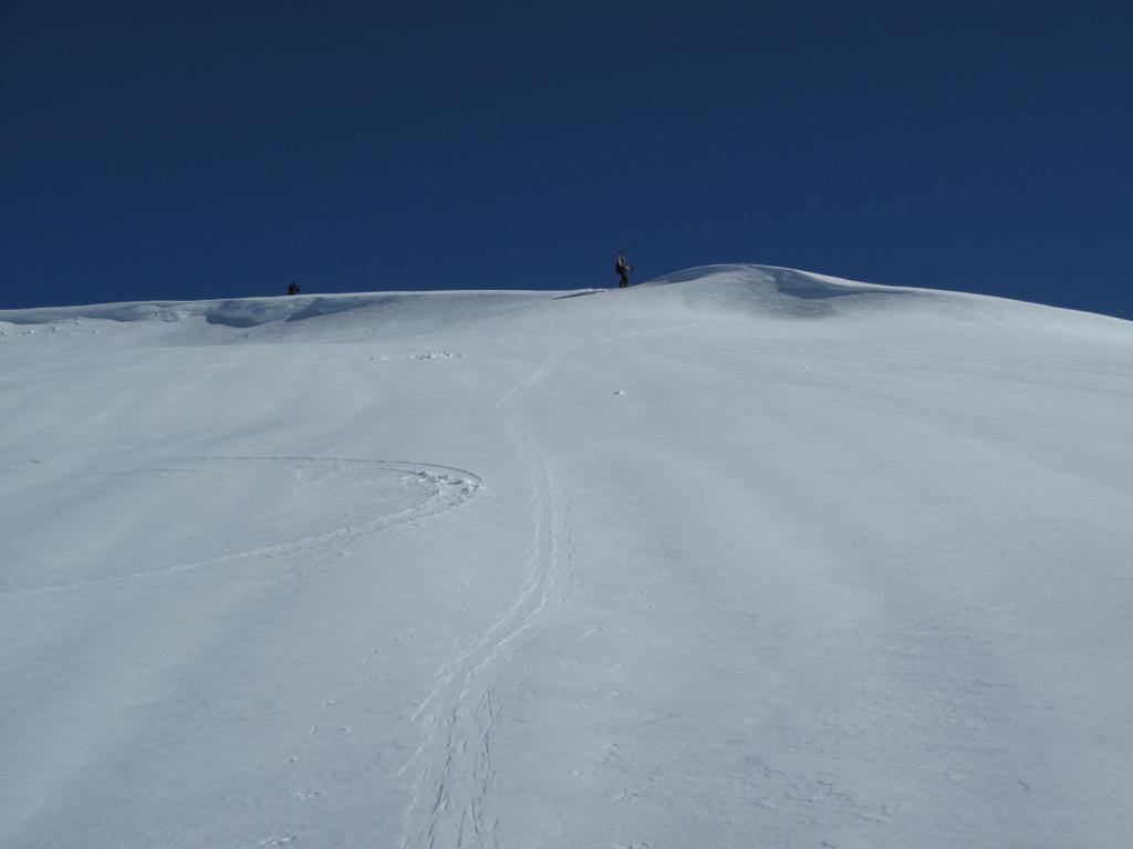
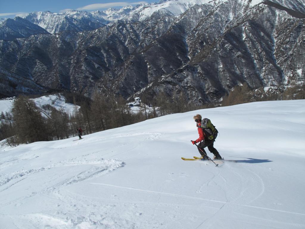
Discesa sulla soleggiata ed esposta dorsale.
Nelle vicinanze Mappa
Itinerari
27/12/2025 CN, Elva D+ 620 m MS Sud-Ovest
Cugn di Goria da Goria
 1.2Km
1.2Km
21/02/2026 CN, Elva D+ 716 m MS Ovest
Nebin (Monte) da Goria
 1.2Km
1.2Km
12/01/2014 CN, Elva D+ 783 m MS Sud
Morfreid (Monte) da Grangette di Elva
 1.2Km
1.2Km
26/12/2019 CN, Elva D+ 954 m MS Sud
Morfreid (Monte) da Castes
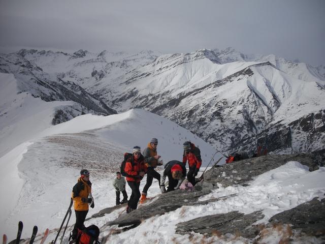 2.2Km
2.2Km
09/12/2018 CN, Elva D+ 1280 m BS Tutte
Nebin (Monte) dal Colle della Cavallina, anello per Monte Cugulet e Cugn di Goria
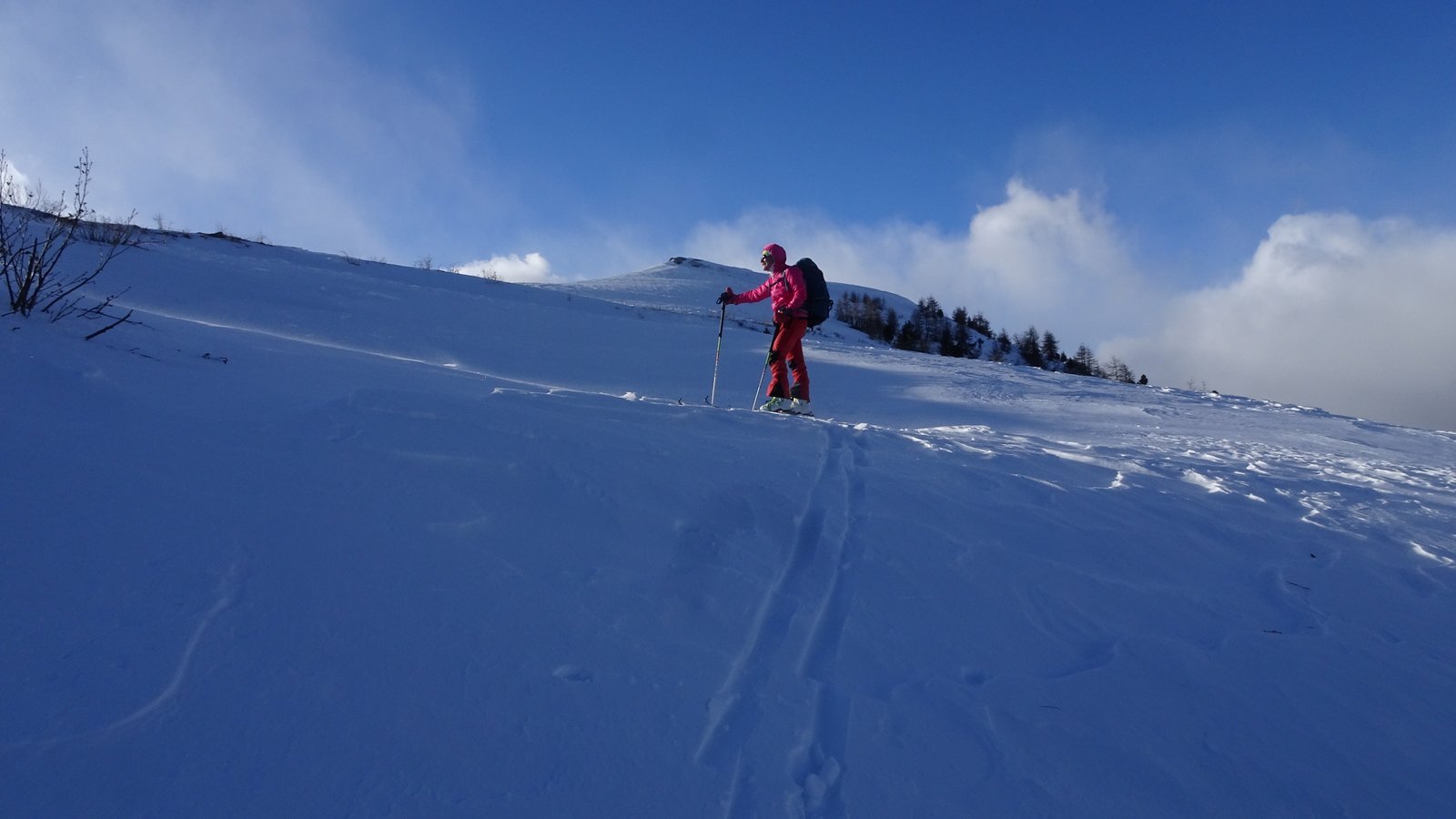 2.5Km
2.5Km
13/12/2020 CN, Elva D+ 700 m BS Nord
Ciarmetta (Punta) da Chiosso Superiore
 3.5Km
3.5Km
01/02/2026 CN, Elva D+ 1325 m BSA Nord-Est
Chersogno (Monte) da Chiosso
 3.5Km
3.5Km
04/02/2010 CN, Elva D+ 800 m MS Nord
Sarsassi (Punta) da Chiosso Superiore
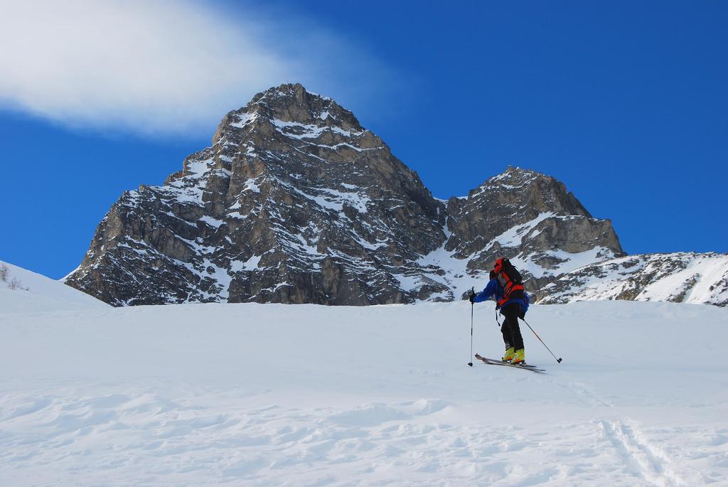 3.5Km
3.5Km
04/01/2020 CN, Elva D+ 1300 m BS Sud
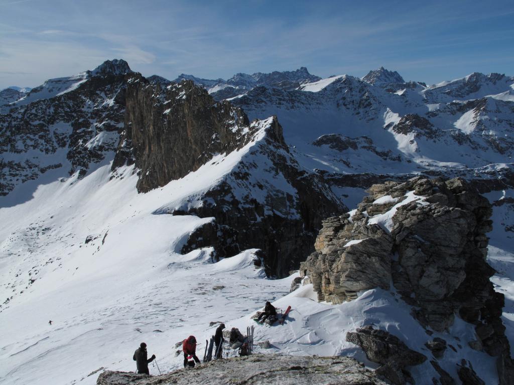
Camoscere (Monte) da Chiosso Superiore
 3.5Km
3.5Km
02/04/2018 CN, Elva D+ 1319 m BS Sud-Est
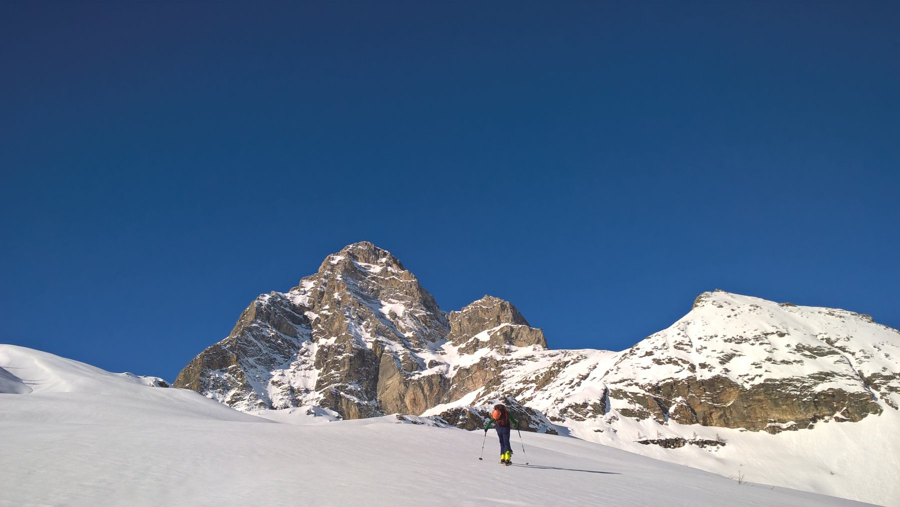
Sagneres (Pic delle) da Chiosso
 3.5Km
3.5Km
Servizi
550m
2.5Km
La sousto du col Rifugio
Elva
5.4Km
Leon d’oro Rifugio
Casteldelfino
5.6Km
Alpes d’Oc B&B
Stroppo
5.6Km
Semitoun B&B
Casteldelfino
5.6Km
Il mulino delle fucine B&B
Casteldelfino
6Km
La Freidio B&B
Marmora
6.1Km
Napoleonica Ristorante
Stroppo
6.1Km
I giardini di Provenza Ristorante
Stroppo
6.2Km