 1Km
1Km
Note
 1.5Km
1.5Km
1.5Km
1.5Km
1.5Km
1.5Km
1.5Km
1.5Km
1.5Km
1.5Km
1.5Km
1.5Km
1.5Km
1.5Km
1.5Km
1.5Km
1.5Km
1.5Km
1.5Km
1.5Km
1Km
1.8Km
3.2Km
3.2Km
3.2Km
4.6Km
4.6Km
4.7Km
4.7Km
5.7Km
Giro facile ma molto piacevole e divertente che consente di percorrere interamente il bellissimo Sentiero Bordin
Avvicinamento
Da Cesana prendere la strada vecchia per Sestriere e proseguire fino a Rollieres (parcheggio sulla sinistra)
Descrizione
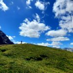
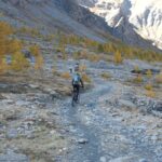
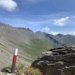
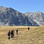
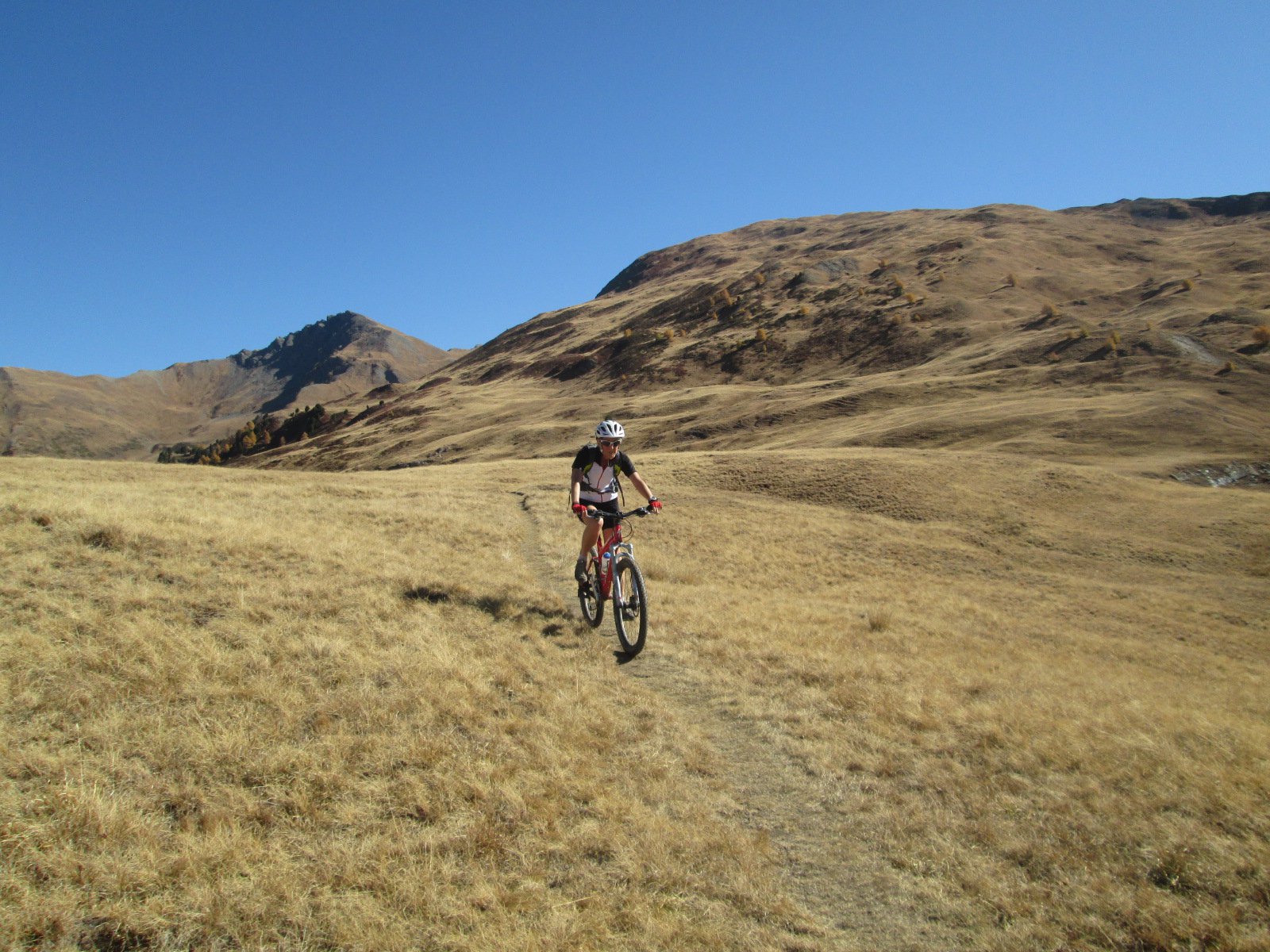
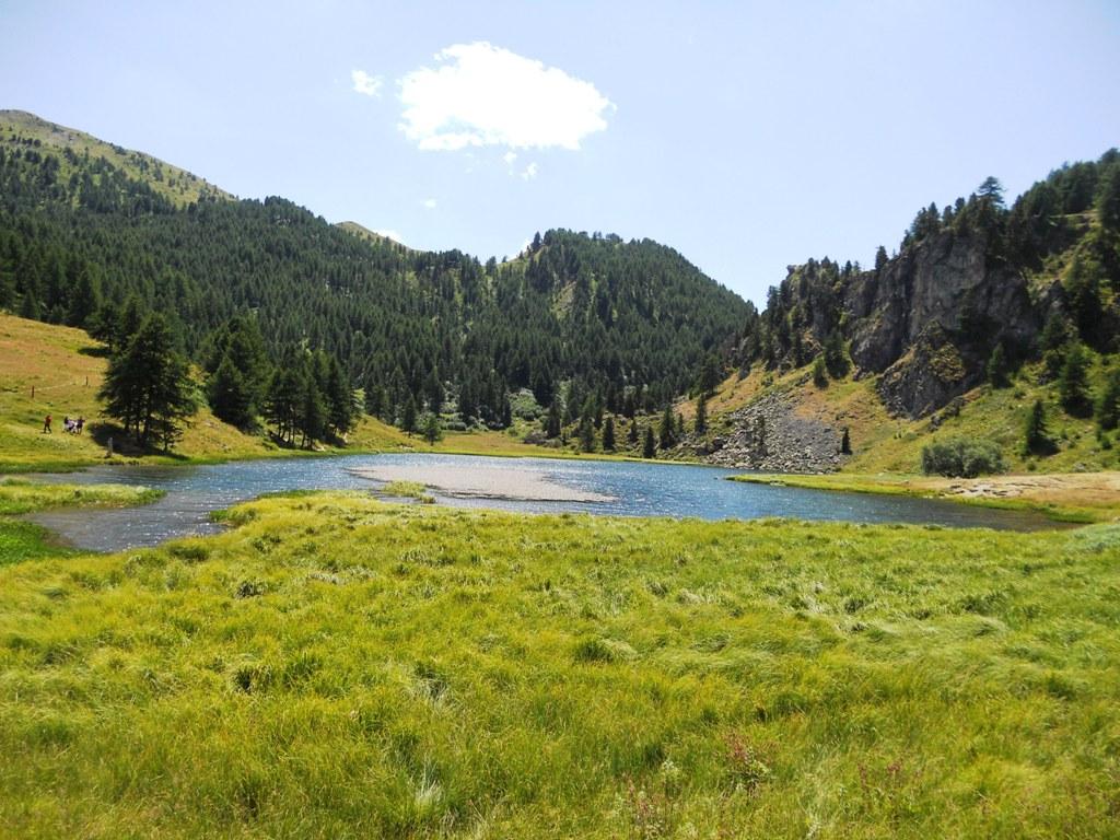
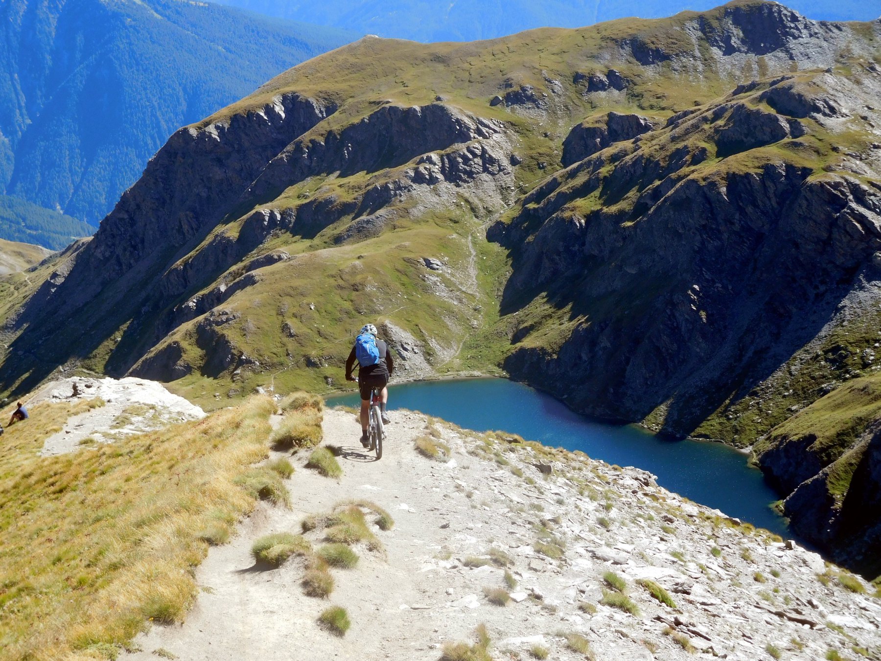
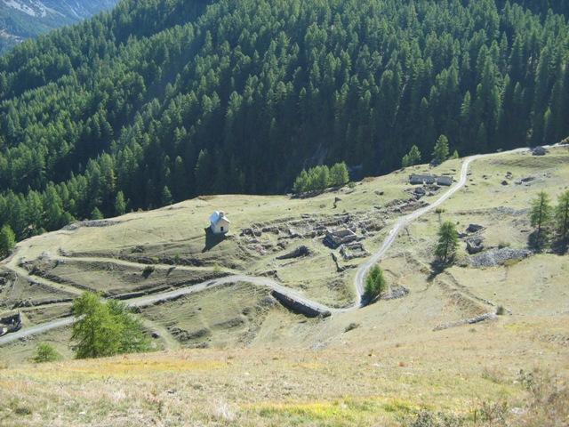
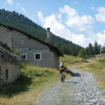
Da Rollieres attraversare il ponte e portarsi sulla sinistra orografica del torrente Ripa e seguire il bel sentiero che con qualche leggero saliscendi e percorso quasi sempre all’ombra supera Sauze di Cesana e arriva fino a Pont Terrible; da qui risalire fino a raggiungere la provinciale che sale a Sestriere passando per Grangesises; la salita è molto regolare e con pendenze sempre inferiori al 10%. Giunti a Sestriere si prende la strada per il Col Basset e la si segue per circa 3 Km fino ad incontrare le indicazioni per il Sentiero Bordin (quota 2.200 m circa). Si imbocca il sentiero che con percorso pressochè completamente pianeggiante e molto panoramico taglia a mezzacosta le pendici del Monte Fraiteve e termina nei pressi del Monte Rotta. Il sentiero è facile e scorrevole ma veramente splendido. Poco dopo essere passati sotto il Monte Rotta si incrocia una sterrata che si segue a sinistra in discesa (possibili tagli su sentiero) per poche centinaia di metri fino a confluire su una stradina asfaltata. Svoltare a destra e dopo poche decine di metri abbandonarla svoltando a sinistra e prendendo una sterrata che scende abbastanza ripida fino al forte di Champlas Seguin. Poco dopo il Forte tenere la sinistra su una stradina che con alcuni tornanti ravvicinati arriva sulla sterrata che collega Champlas Seguin e Champlas Janvier; si tiene la sinistra e poi subito la destra e in breve si raggiunge questa ultima frazione; poco dopo l’uscita dal pese si abbandona l’asfalto e si prende un sentiero che con qualche breve risalita iniziale raggiunge Champlas du Col; si attraversa la statale e si prende sulla destra il sentiero 616B che con discesa facile ma molto divertente riporta a Rollieres chiudendo l’anello.
POSSIBILE VARIANTE
Arrivati al termine del Sentiero Bordin appena dopo il Monte Rotta, anziché svoltare a sinistra sulla sterrata che scende direttamente a Champlas Seguin, si può proseguire in direzione di Sansicario fino a Soleil Boeuf e da qui prendere il sentiero ADS2 che scende fino a Champlas Seguin; da qui si imbocca il sentiero 619A che dopo avere attraversato la statale riporta a Rollieres; questo sentiero dovrebbe essere un po’ più impegnativo del 616B che parte da Champlas du Col.
- Cartografia:
- Carta Fraternali 1:25.000 n° 2 - Alta Val di Susa, Alta Val Chisone
Nelle vicinanze Mappa
Itinerari
18/07/2026 TO, Cesana Torinese D+ 1000 m MC+, BC, S1 Tutte
Bosco (Cima del) da Bousson, giro per Thures
 1.5Km
1.5Km
05/07/2025 TO, Cesana Torinese D+ 1500 m BC+, BC, S1 Varie
Thures (Colle di) da Bousson per la Val Thuras
 1.5Km
1.5Km
27/07/2025 TO, Cesana Torinese D+ 2350 m BC, BC+, S3 Tutte
Merciantaira (Punta) o Grand Glaiza da Bousson, giro peri colli Thuras, Rasis, Marlif, Bousson
 1.5Km
1.5Km
07/09/2025 TO, Cesana Torinese D+ 1720 m BC, BC, S2 Varie
Corbioun (Monte) da Bousson, giro per i colli Begino, Chabaud, Bourget, Bousson, Costa la Luna e discesa val Gimont
 1.5Km
1.5Km
12/07/2020 TO, Cesana Torinese D+ 1000 m MC, MC, S1 Varie
Chabaud (Colle) da Bousson
 1.5Km
1.5Km
01/07/2017 TO, Cesana Torinese D+ 600 m BC, TC, S0 Varie
Nero (Lago) da Bousson, giro per Chabaud e Rhuilles
 1.5Km
1.5Km
11/06/2025 TO, Cesana Torinese D+ 1010 m MC+, MC+, S1 Varie
Corbioun (Monte) da Bousson
 1.5Km
1.5Km
13/08/2017 TO, Cesana Torinese D+ 4400 m BC+, BC+, S2 Tutte
Merciantaira (Punta) o Grand Glaiza da Bousson, traversata ad Abriès per i col du Petit Malrif e de Pèas (2 gg)
 1.5Km
1.5Km
29/08/2025 TO, Cesana Torinese D+ 1100 m BC, BC, S2 Varie
Fournier (Cima) da Bousson, giro per Col Begino e Lago Nero
 1.5Km
1.5Km
21/07/2023 TO, Cesana Torinese D+ 1355 m BC, BC+, S2 Nord
Giassiez (Monte) o Giaissez da Bousson
 1.5Km
1.5Km
Servizi
1Km
1.8Km
La Fontana del Thures Rifugio
Cesana Torinese
3.2Km
da Carlo Rifugio
Cesana Torinese
3.2Km
La Tana degli Orsi B&B
Cesana Torinese
3.2Km
La Crota B&B
Cesana Torinese
4.6Km
L’Ibarus Rifugio
Cesana Torinese
4.6Km
Piergiorgio Frassati B&B
Cesana Torinese
4.7Km
Casa Cesana Bar
Cesana Torinese
4.7Km
Ottima Scelta Ristorante
Cesana Torinese
5.7Km


