1.8Km
1.8Km
Note
 0m
50m
50m
50m
50m
50m
50m
50m
50m
0m
50m
50m
50m
50m
50m
50m
50m
50m
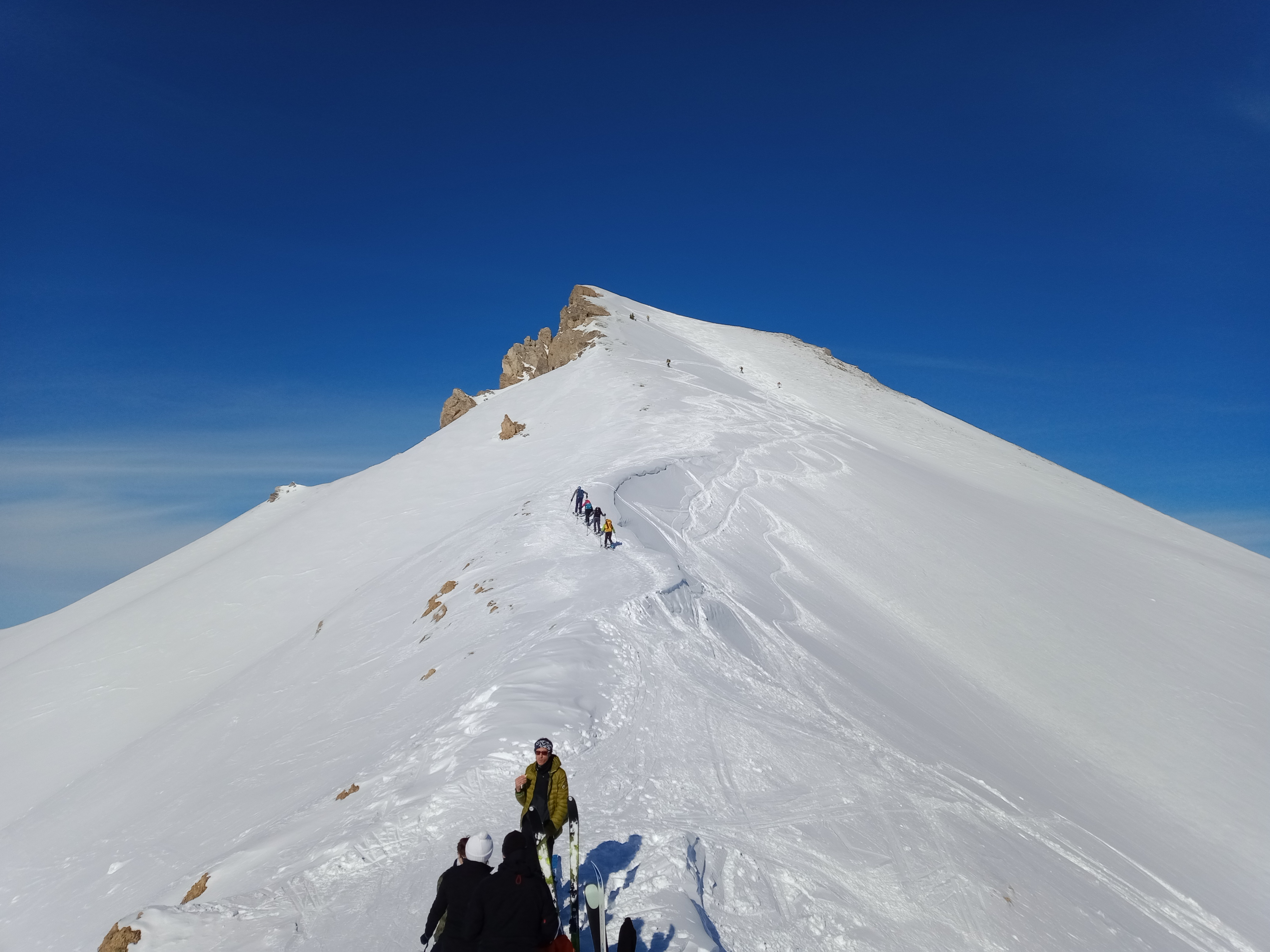
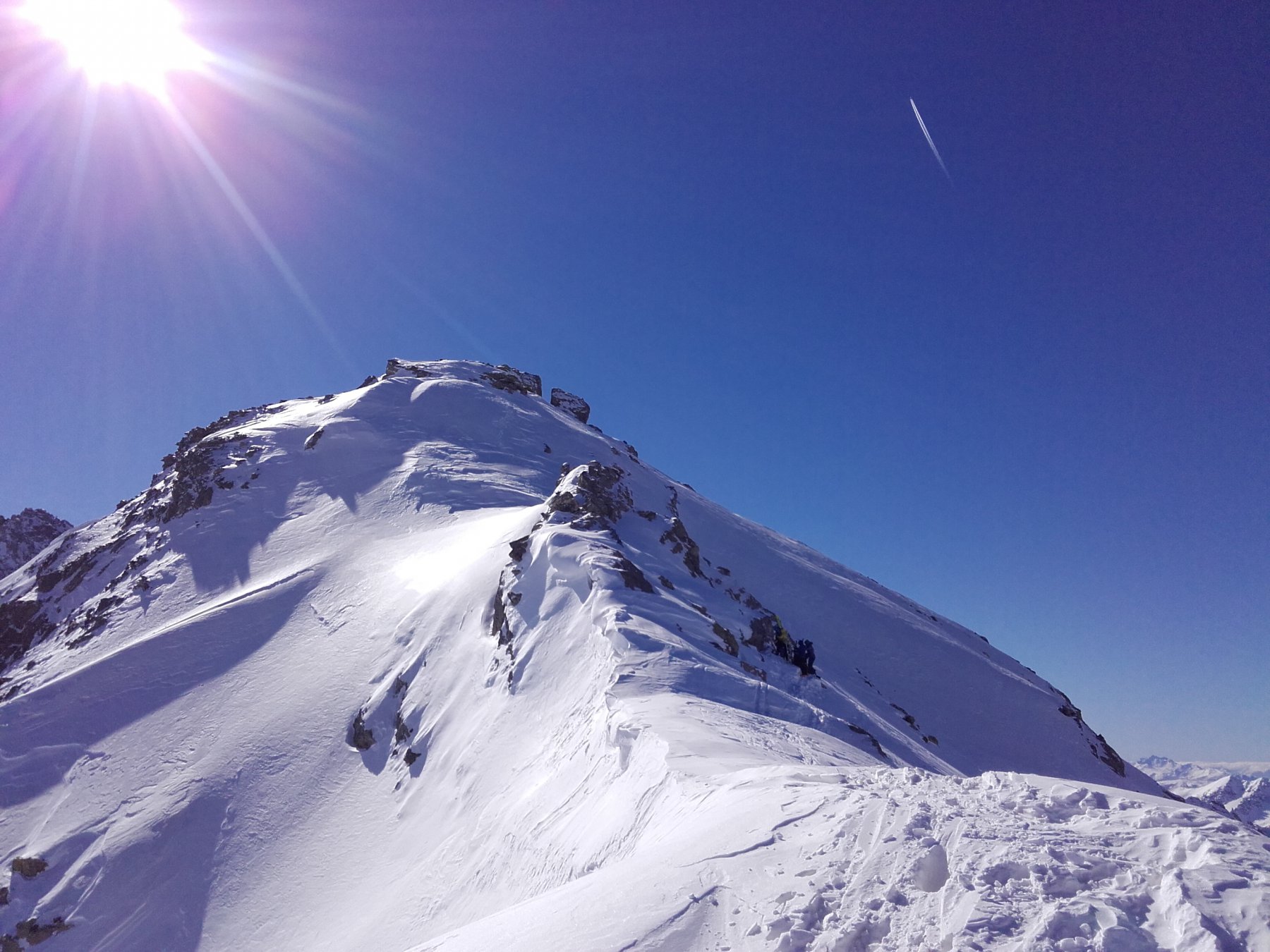
Itinerario scialpinistico che varia nell'ultima parte per raggiungere il Colle. Da effettuare esclusivamente con neve ben assestata
Avvicinamento
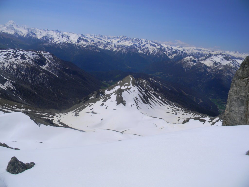
da Briançon, proseguire seguendo le indicazioni per il Col de l'Izoard, raggiungere e superare Cervieres, strada sempre aperta fino a Le Laus con parcheggio prima della frazione Le Laus
Descrizione
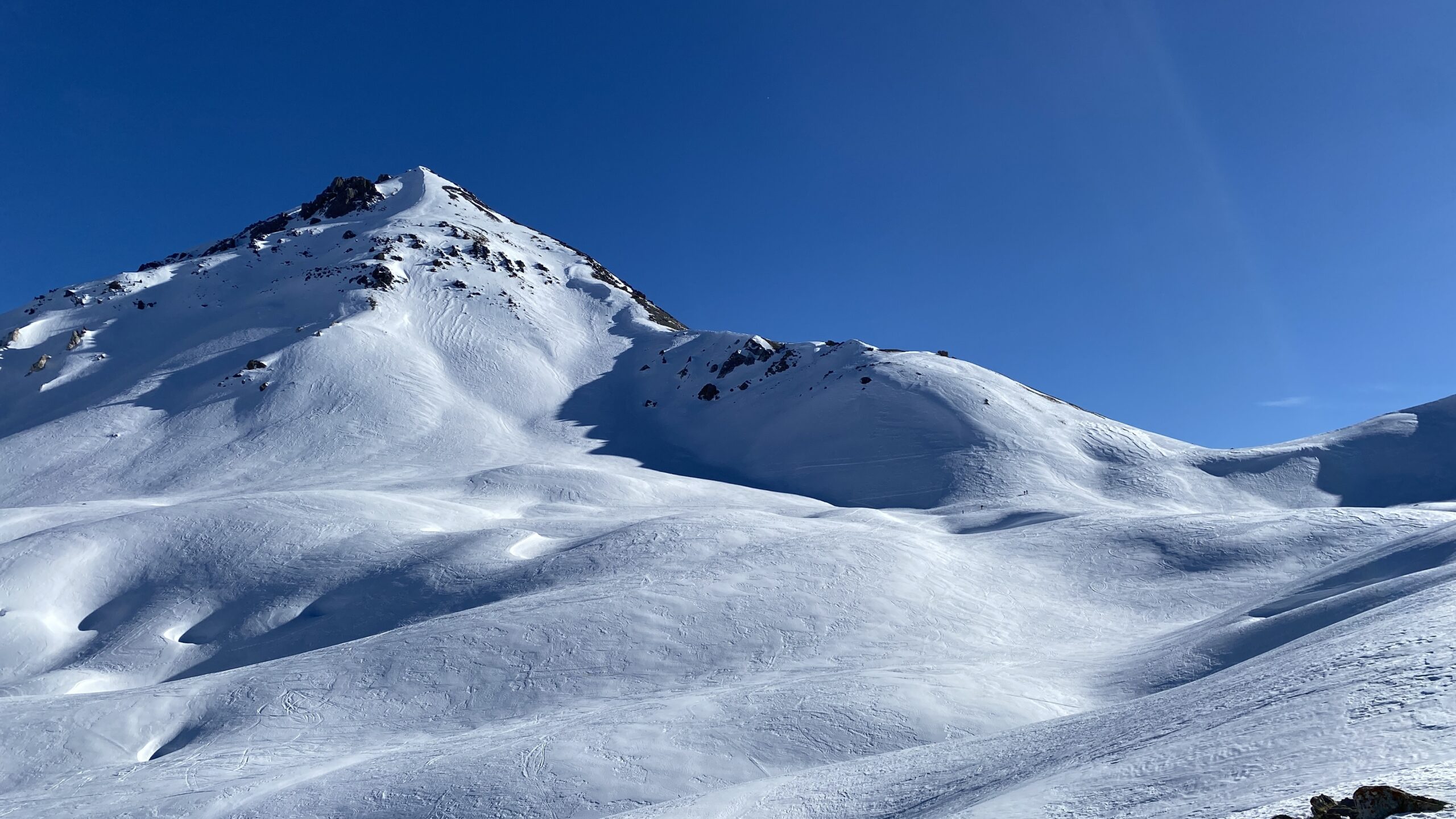
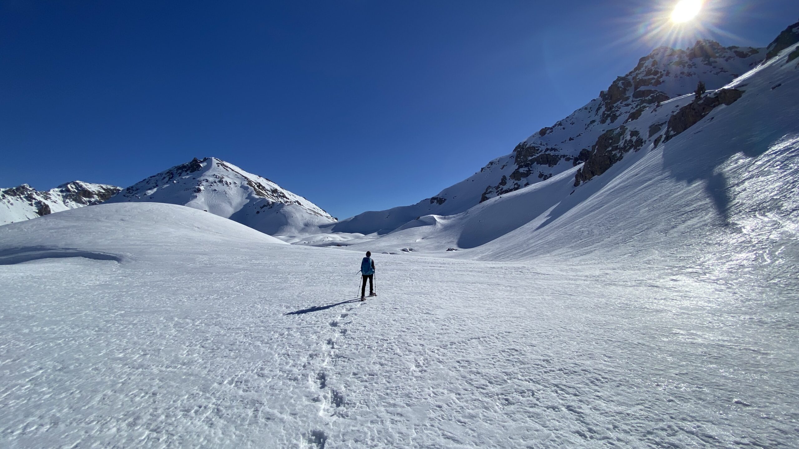
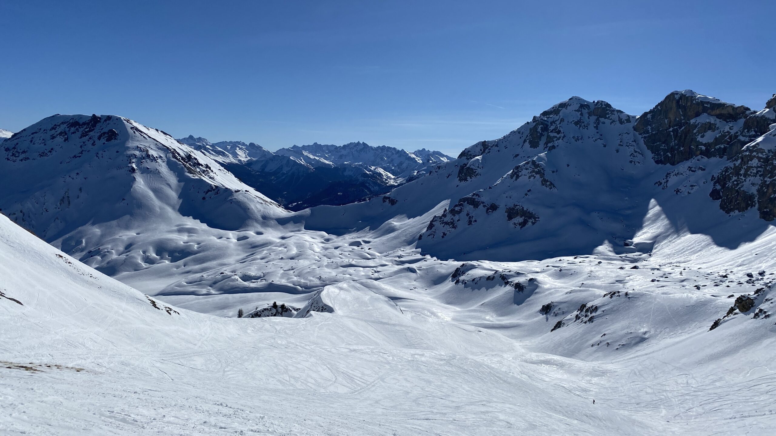
Da Le Laus, seguire la pista di fondo per il colle d’Izoard con qualche taglio possibile. Raggiungere un tornante a quota 2150 circa, quindi girare a dx nel bosco rado fino a raggiungere gli Chalet d’Izoard dove si apre il largo vallone di Loubatieres, quindi proseguire dritto in direzione Ovest verso il fondo valle per 1 km circa poi salire a destra (N) passando liberamente per ampi e ripidi pendii (valutare dove passare in base alla neve, meglio non seguire la traccia del sentiero estivo nell’ultima parte in quanto parecchio in traverso) quindi pervenire al colle visibile sotto il Grand Peygu a dx.
Per la discesa seguire il più ampio e meno ripido canale di dx per raggiungere agevolmente il pianoro sottostante.
- Cartografia:
- IGN 3536OT 1:25.000
- Bibliografia:
- Hautes-Alpes Tome 1 edizione Libris (in francese)
Nelle vicinanze Mappa
Itinerari
09/02/2025 Hautes-Alpes, Cervières D+ 859 m BR Nord
Arpelin (Cime de l’) da le Laus per il Col Perdù
 0m
0m
01/01/2020 Hautes-Alpes, Cervières D+ 650 m MR Nord
Creux du Loup da le Laus per le Bois de Pemeant
 50m
50m
22/01/2012 Hautes-Alpes, Cervières D+ 734 m MR Nord
Perdu (Col) da Le Laus
50m
15/05/2016 Hautes-Alpes, Cervières D+ 1109 m BRA, F+ Nord
Cote Belle (Pic Est e Ouest de) da le Laus per il versante nord, traversata cresta NO e cresta E
 50m
50m
27/03/2025 Hautes-Alpes, Cervières D+ 700 m MR Nord
Ourdeis (Col des) da le Laus
 50m
50m
08/12/2014 Hautes-Alpes, Cervières D+ 987 m BRA, F Nord
Clot la Cime versante NO
 50m
50m
19/02/2017 Hautes-Alpes, Cervières D+ 1265 m BR Ovest
Turge de la Suffie da le Laus
 50m
50m
25/01/2015 Hautes-Alpes, Cervières D+ 550 m BR Est
Loubatieres (Bois de) da Le Laus
 50m
50m
25/12/2016 Hautes-Alpes, Cervières D+ 400 m MR Nord-Ovest
Oules (Cascade des) da le Laus
 50m
50m
24/05/2015 Hautes-Alpes, Cervières D+ 1100 m BRA, PD- Nord
Beaudouis (Pic de) Couloir Nord classique
 50m
50m