1.7Km
1.7Km
Note
 1.7Km
2.7Km
2.7Km
4.9Km
6.6Km
7.2Km
7.2Km
7.9Km
1.7Km
2.7Km
2.7Km
4.9Km
6.6Km
7.2Km
7.2Km
7.9Km
1.7Km
2Km
4Km
4.9Km
4.9Km
5.1Km
5.1Km
5.4Km
8.4Km
8.4Km
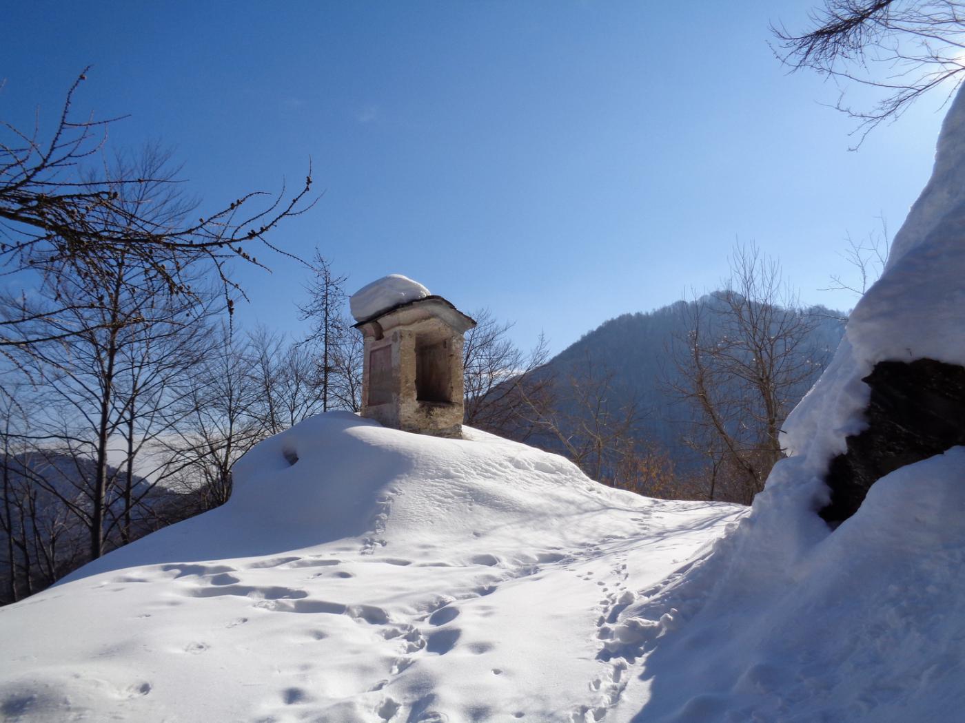
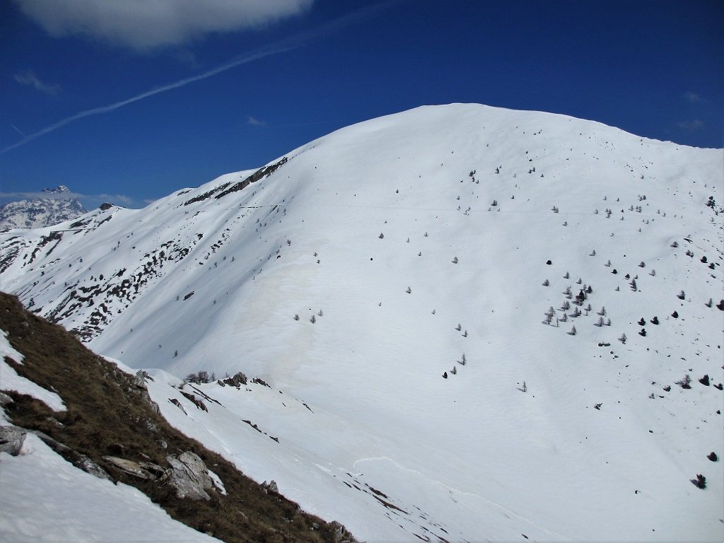
Gita tra antiche borgate , alcune molto ben ristrutturate...con finale su una cimetta poco appariscente posta sotto i pendii del monte Buch.
Avvicinamento
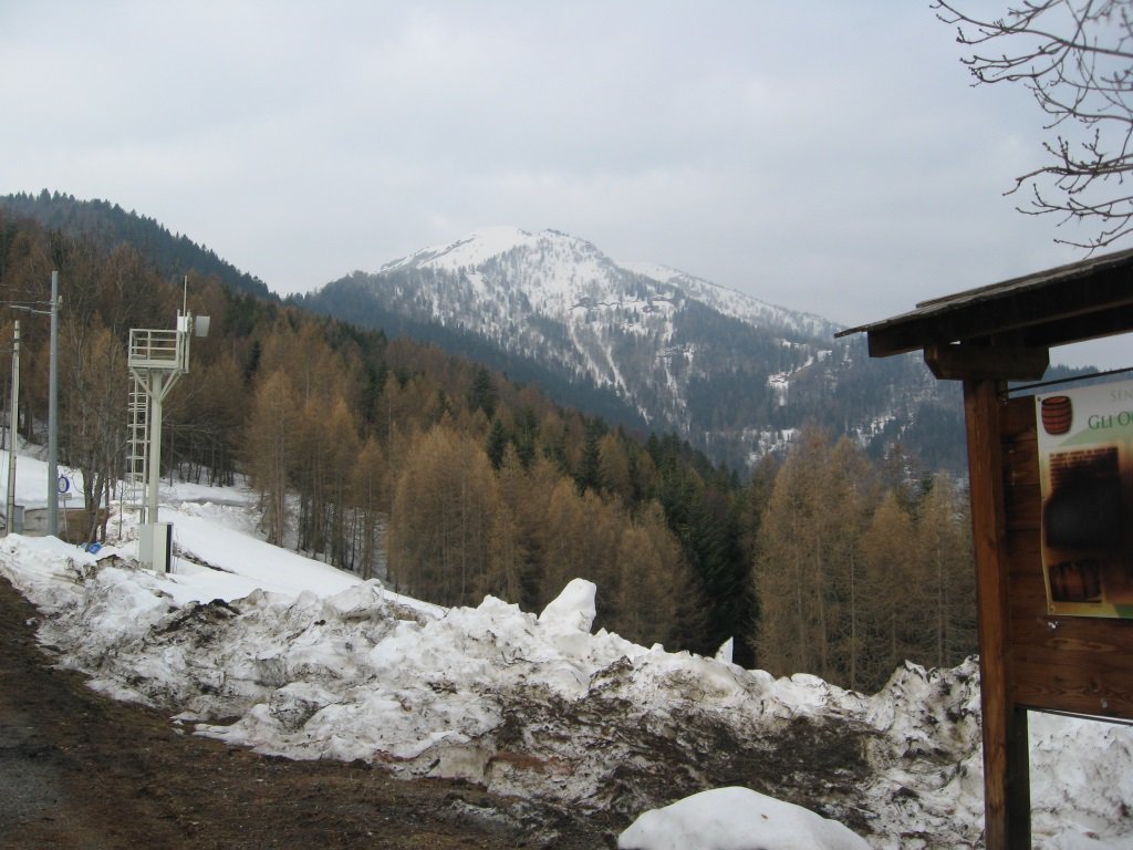
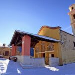
Si risale la valle Maira fino all'abitato di Macra; poco dopo il paese si svolta a sinistra in direzione di Celle Macra .Si oltrepassa in torrente Maira e dopo circa 1 km si incontra il bivio per Palent dove si lascia l'auto.
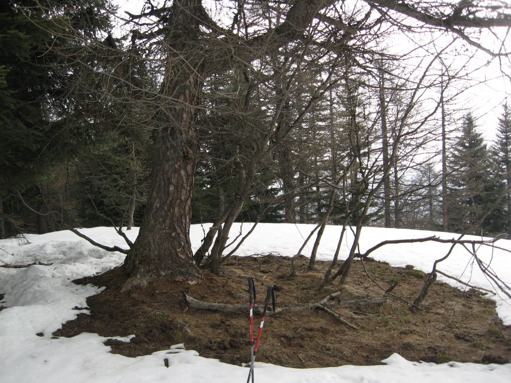
Descrizione
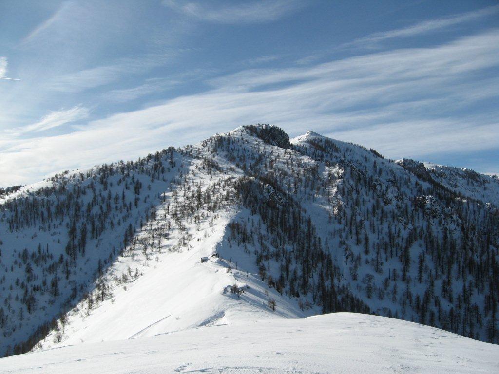
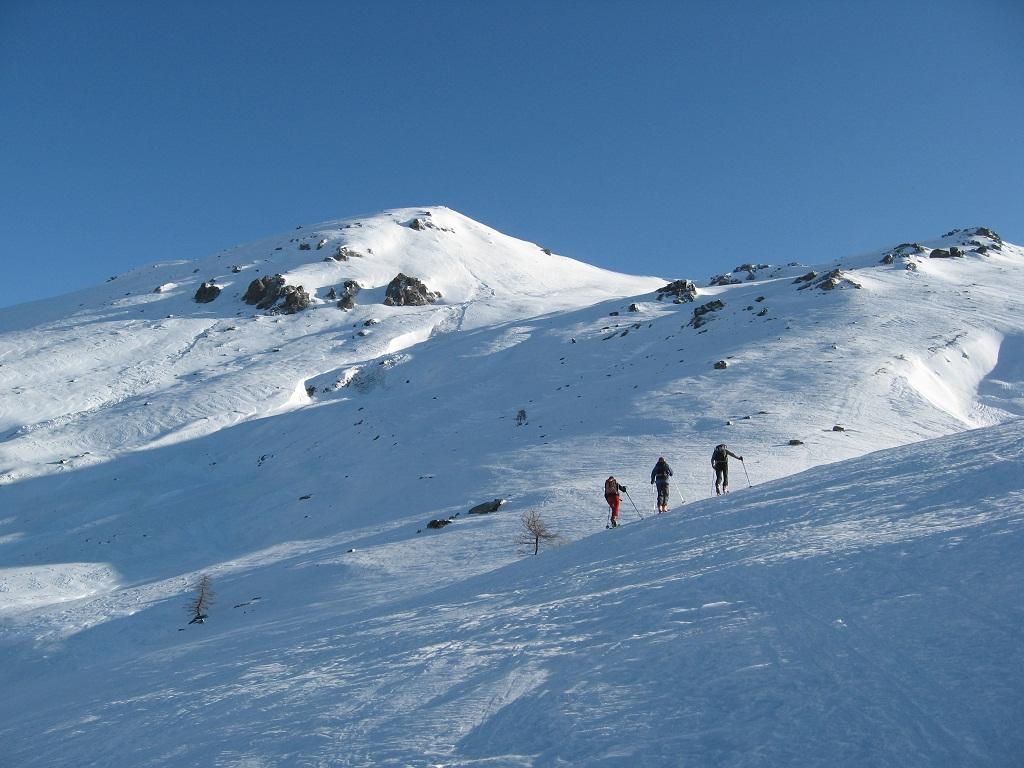
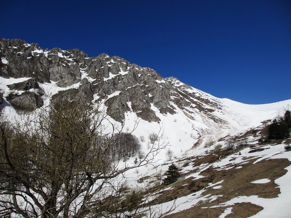
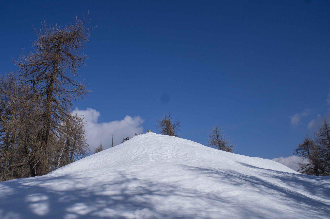
Si segue la strada per Palent per un breve tratto fino a incontrare il sentiero (palina) che sale alla borgata Serremorello e poco dopo alla borgata Colletto. Qui si segue la strada asfaltata che con ampio semicerchio arriva alla borgata Palent. Prima della borgata diparte una sterrata (palina) che con un paio di tornati si porta sulla costa e poi prosegue passando sotto i pendii del monte Buch e arrivando ai 1702 mt della sella Cialier. Breve salita e si arriva sulla boscosa cima. Discesa dritto nel bosco fino ad arrivare alla borgata Colletto e chiudere l’anello.
- Cartografia:
- Chaminar in valle Maira da B.Rosano
Nelle vicinanze Mappa
Itinerari
30/12/2012 CN, Celle di Macra D+ 517 m MR Nord
Sociù (Monte) da Chiesa di Macra
1.7Km
04/05/2014 CN, Macra D+ 1018 m BR Nord-Ovest
Cialme (Monte) da Chiesa di Macra
 1.7Km
1.7Km
23/11/2025 CN, Celle di Macra D+ 850 m BR Nord
Cernauda (Rocca) da Castellaro
 2.7Km
2.7Km
14/10/2012 CN, Celle di Macra D+ 700 m BR Nord
Bastia (Monte) da Castellaro
 2.7Km
2.7Km
09/12/2018 CN, Stroppo D+ 1250 m MR Sud-Ovest
Nebin (Monte) e Monte Cugulet da Morinesio per la Bassa di Rasis o di Rocciaset
 4.9Km
4.9Km
01/03/2026 CN, San Damiano Macra D+ 696 m MR Varie
Chialmo (Monte) da Girardi
 6.6Km
6.6Km
07/12/2011 CN, San Damiano Macra D+ 1000 m MR Nord
Cernauda (Rocca della) da Serre
6.6Km
20/04/2018 CN, San Damiano Macra D+ 1329 m BR Sud
Rastcias (Monte) da Fracchie per il Colle Agnelliera
 7.2Km
7.2Km
28/04/2018 CN, San Damiano Macra D+ 984 m MRA, F+ Varie
Agnelliera (Roccia) da Fracchie
 7.2Km
7.2Km
04/02/2024 CN, Marmora D+ 582 m MR Ovest
Festa (Monte) da Parrocchia di Marmora per il Colle Intersile
 7.9Km
7.9Km
Servizi
1.7Km
2Km
Dei Ciclamini Ristorante
Macra
4Km
Del silenzio Rifugio
Macra
4.9Km
Napoleonica Ristorante
Stroppo
4.9Km
I giardini di Provenza Ristorante
Stroppo
5.1Km
Alpes d’Oc B&B
Stroppo
5.1Km
La Freidio B&B
Marmora
5.4Km
La Canonica Ristorante
San Damiano Macra
8.4Km
Gentil Locanda Ristorante
Marmora
8.4Km