


7 gite
lukeskywalker
Propone
Gita insieme
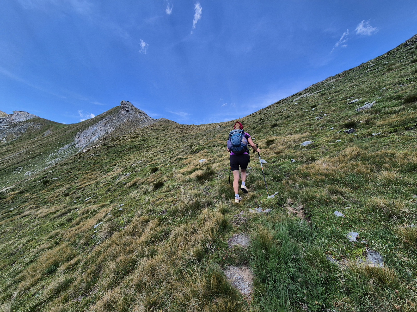
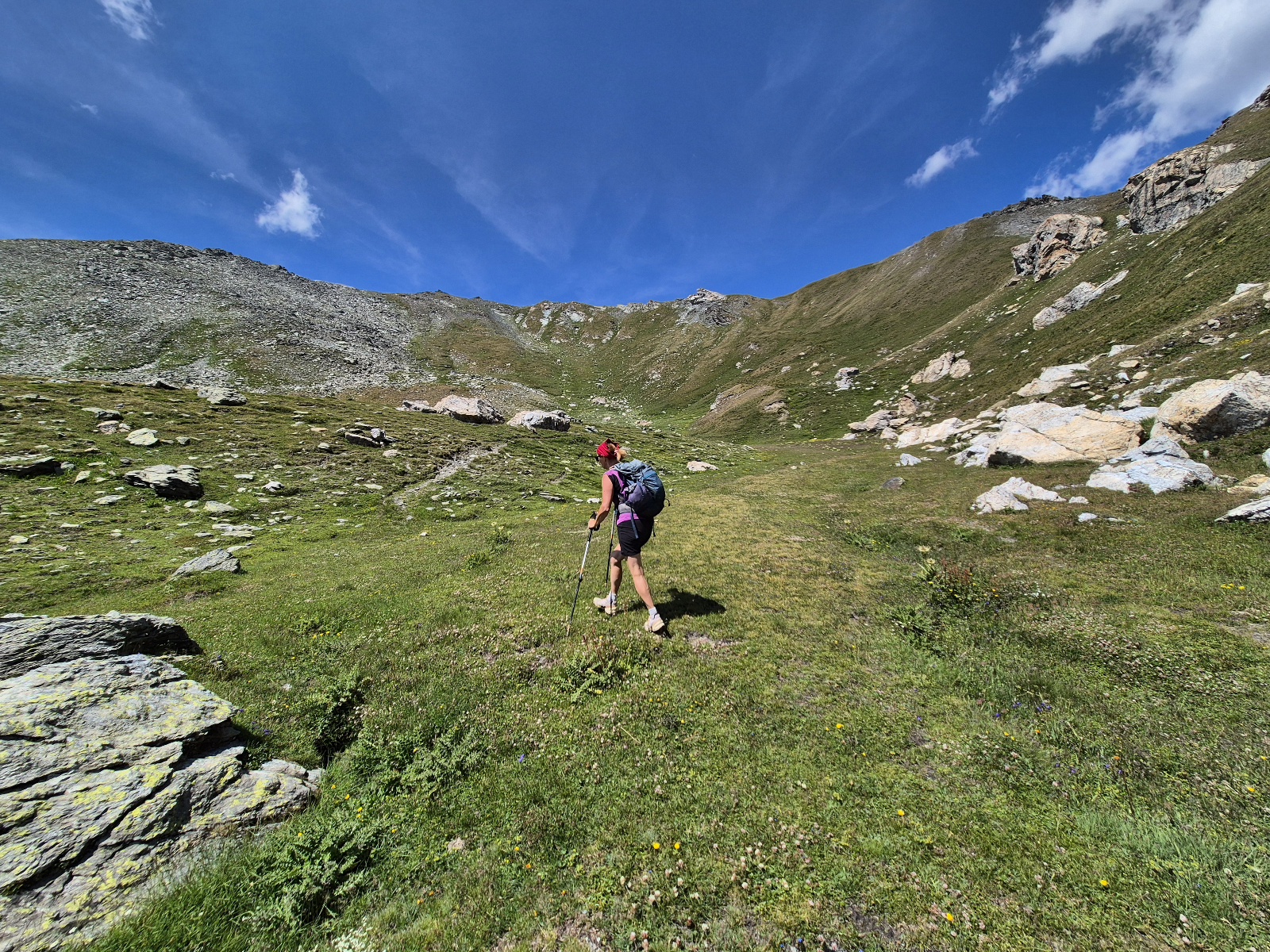
Escursionismo
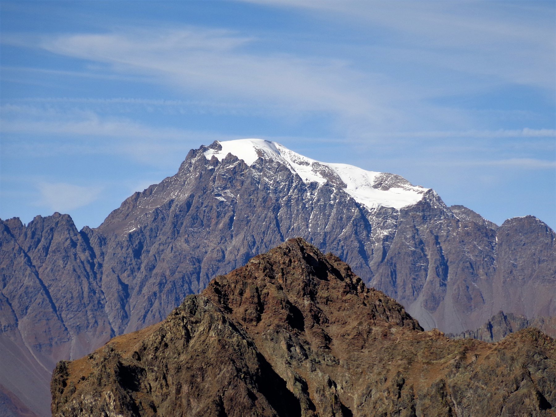
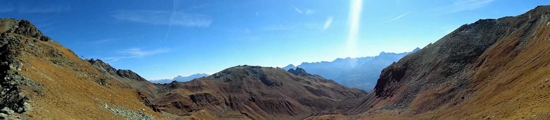
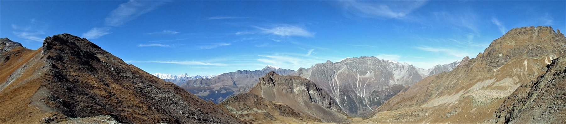
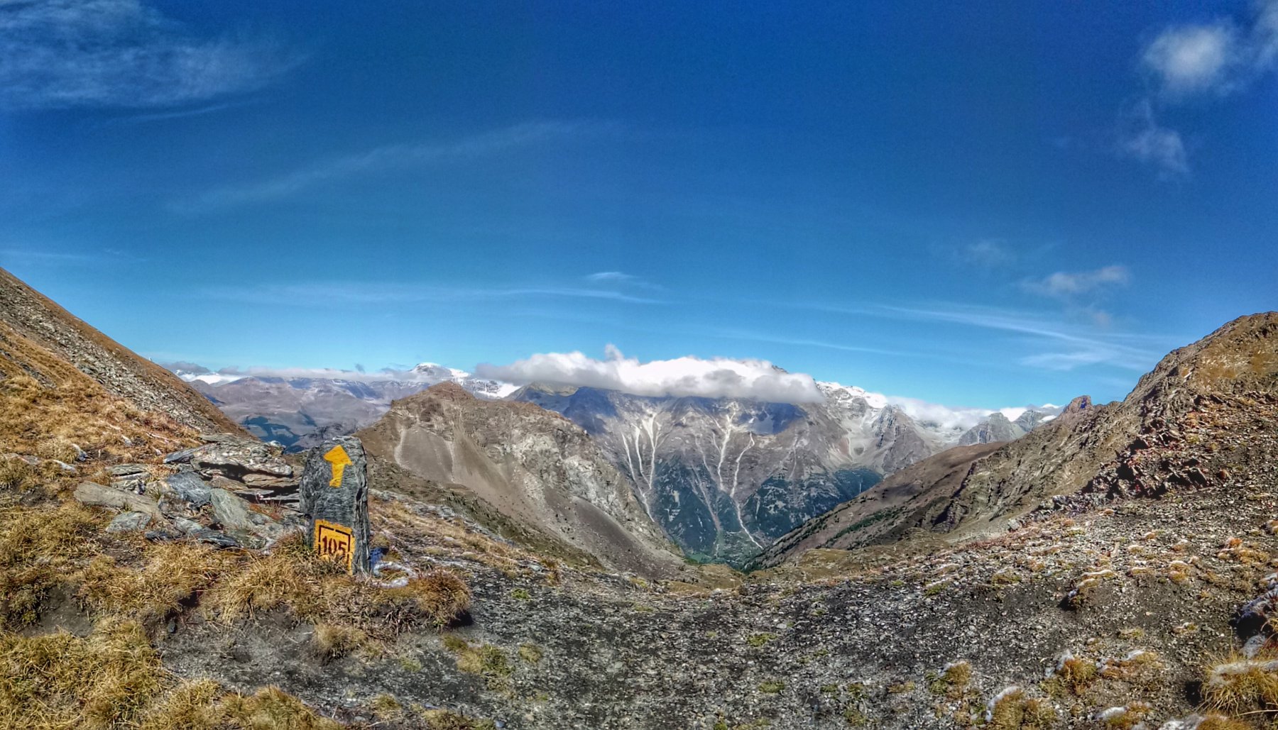
una vetta secondaria in Valpelline
tra
Sab 25/7
e
Dom 26/7
Ritrovo a
Bionaz