 1.1Km
1.1Km

Avvicinamento
Storico
 2.1Km
2.2Km
6.2Km
6.2Km
7Km
9.9Km
9.9Km
10.1Km
2.1Km
2.2Km
6.2Km
6.2Km
7Km
9.9Km
9.9Km
10.1Km
1.1Km
3.8Km
5Km
5Km
5.2Km
5.7Km
6.7Km
6.7Km
6.9Km
7.2Km
Giungendo da Torino superare l'abitato di Salbertrand sulla SS 25 e svoltare a dx in Fraz. Ulme. Imboccare quindi via della Faurià e seguirla sino al termine (in cima alla via difficoltà a parcheggiare).
In cima alla strada imboccare un largo sentiero che pian piano si restringe sino a divenire una mulattiera.
Al primo tornante salire ancora per circa 50 m ed imboccare una traccia che si diparte sulla sx, abbandonando pertanto il sentiero principale.
Seguire la traccia sino ad una abitazione diroccata nei pressi di un'enorme roccia.
Da questa seguire una traccia che in breve conduce in alveo in vista della briglia (10min dall'auto)
Descrizione
In cima alla strada imboccare un largo sentiero che pian piano si restringe sino a divenire una mulattiera.
Al primo tornante salire ancora per circa 50 m ed imboccare una traccia che si diparte sulla sx, abbandonando pertanto il sentiero principale.
Seguire la traccia sino ad una abitazione diroccata nei pressi di un'enorme roccia.
Da questa seguire una traccia che in breve conduce in alveo in vista della briglia (10min dall'auto)
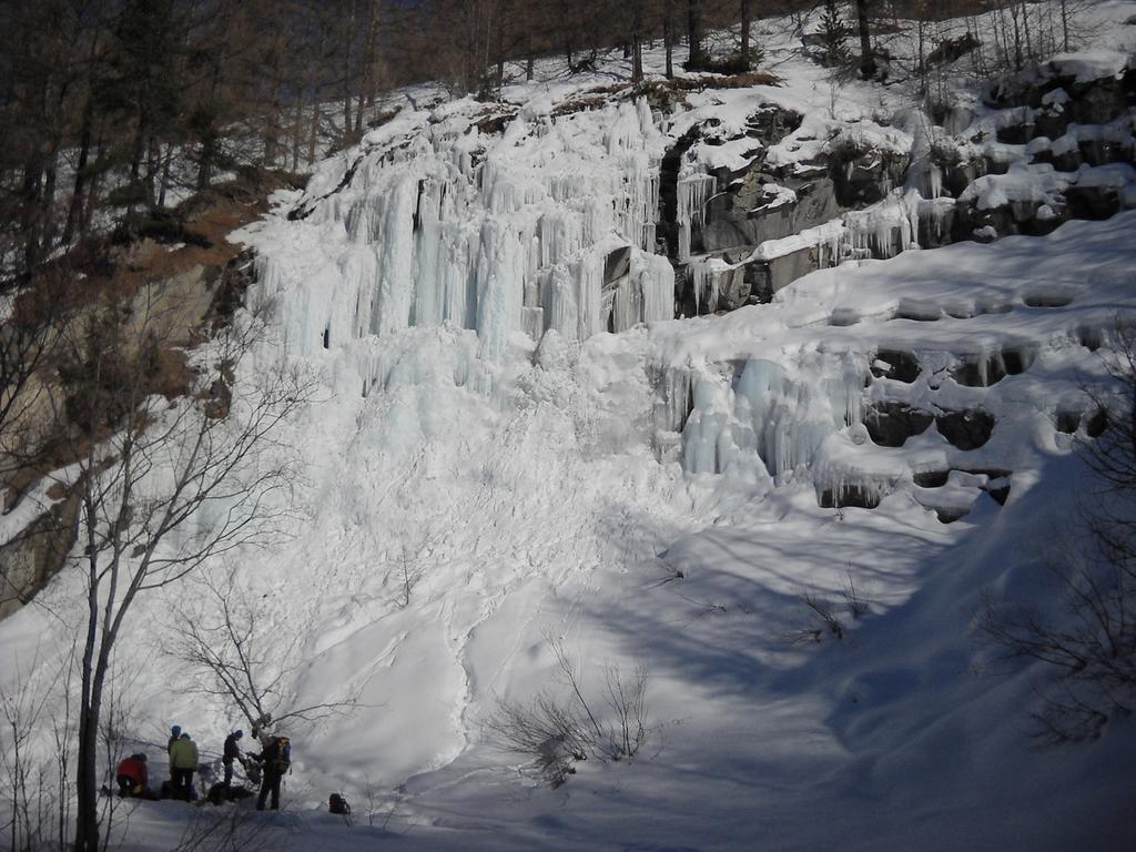
La splendida conformazione si può salire sui tre lati . Quello frontale e quello sul lato dx orografica sono più facili mentre quello sul lato sx è sensibilmente più difficile presentando una verticale di 5 m abbastanza tecnica. Le difficoltà visto il contesto ( dimensioni ridotte, poca esposizione , ambiente tranquillo) sono evidentemente contenute. Ideale per chi inizia e vuole esercitarsi su brevi tratti verticali , provando a chiodare sulla difficoltà senza stressarsi troppo . Molta divertente ma da non sottovalutare poichè un’ eventuale caduta sui lati della colata porterebbe inevitabilmente a sbattere contro le rocce.
Non vi sono relazioni in merito . Probabilmente non gela sempre o non vi è l'interesse tecnico .
Gian e Paolo - CNSAS Bussoleno (probabili primi salitori)
Gian e Paolo - CNSAS Bussoleno (probabili primi salitori)
- Cartografia:
- Fraternali - Valle di Susa
- Bibliografia:
- Acqua Addormentata di Stefano Cordola
Nelle vicinanze Mappa
Itinerari
27/02/2005 TO, Salbertrand 80 m II, 3+ Sud
Salbertrand – Rio Geronda (Cascata del)
1.1Km
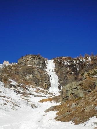
31/12/2009 TO, Salbertrand 150 m III, 4+ Sud
Vallonetto (Cima del, Cascata)
 2.1Km
2.1Km
07/02/2026 TO, Oulx 55 m II, 4 Nord
Oulx – Gran Bosco di Salbertrand (Cascata del)
 2.2Km
2.2Km
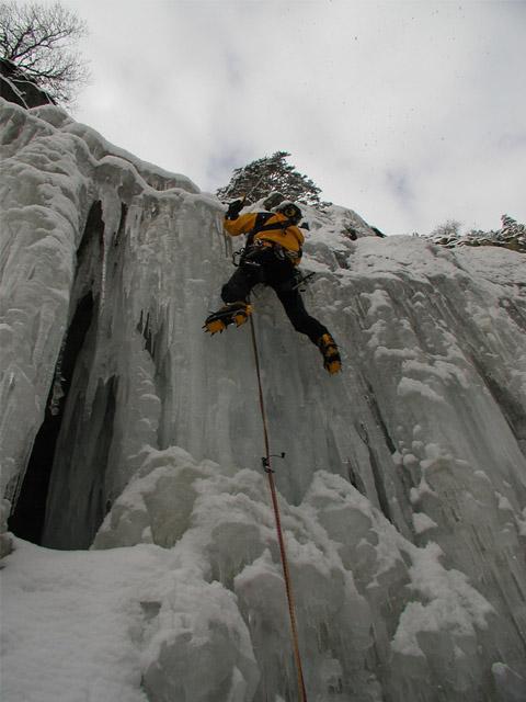
13/01/2008 TO, Oulx 110 m II, 2 Sud-Est
Beaume – Due Amici (Cascata dei)
 6.2Km
6.2Km
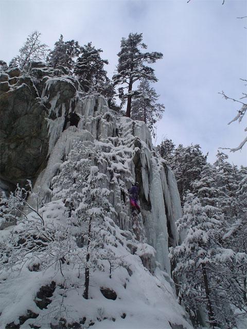
18/01/2009 TO, Oulx 60 m II, 3 Sud-Est
Beaume – A Fa’ an po’ Sgiai (Cascata)
 6.2Km
6.2Km
11/04/2022 TO, Exilles 90 m IV, 3+ Nord-Ovest
Exilles (Cascata di)
 7Km
7Km
23/01/2026 TO, Exilles 30 m I, 2+ Nord
Exilles – Ponte (Cascata del)
 9.9Km
9.9Km
11/01/2022 TO, Pragelato 20 m I, 4 Nord-Ovest
Pragelato – Anfiteatro del Ghiaccio (Cascate)
 9.9Km
9.9Km
11/01/2022 TO, Pragelato 25 m I, 2+ Nord
Pragelato – Acquedotto (Cascata dell’)
10Km
18/01/2025 TO, Pragelato 15 m I, 3+ Est
Pragelato – Circus break (Cascata)
 10.1Km
Servizi
1.1Km
3.8Km
Arlaud Rifugio
Salbertrand
5Km
orto del frate Ristorante
Sauze d'Oulx
5Km
paddy mc ginty Ristorante
Sauze d'Oulx
5.2Km
L’Cantun B&B
Sauze D'oulx
5.7Km
Levi Molinari Rifugio
Exilles
6.7Km
La Quadriglia Ristorante
Exilles
6.7Km
L’ultima stisa Ristorante
Exilles
6.9Km
Touplan Ristorante
Exilles
7.2Km



