6.1Km
6.1Km

Note
 50m
50m
1.9Km
1.9Km
1.9Km
1.9Km
1.9Km
2.5Km
50m
50m
1.9Km
1.9Km
1.9Km
1.9Km
1.9Km
2.5Km
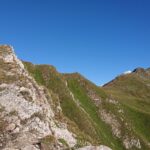
Possibile anche effettuare la salita portandosi al colle di Chavannes (2603 m) e risalendo interamente la cresta nord est con numerosi saliscendi e transitando tra l'altro per il m. Lechaud (2805 m), con difficoltà alpinistiche (F).
Avvicinamento
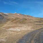
Percorrere la statale del piccolo s. Bernardo fino alla Fraz. di Pont Serrand. Poco prima dell'abitato salire con strada asfaltata per 3 km fino al cartello di divieto dopo l'alpeggio.
Descrizione
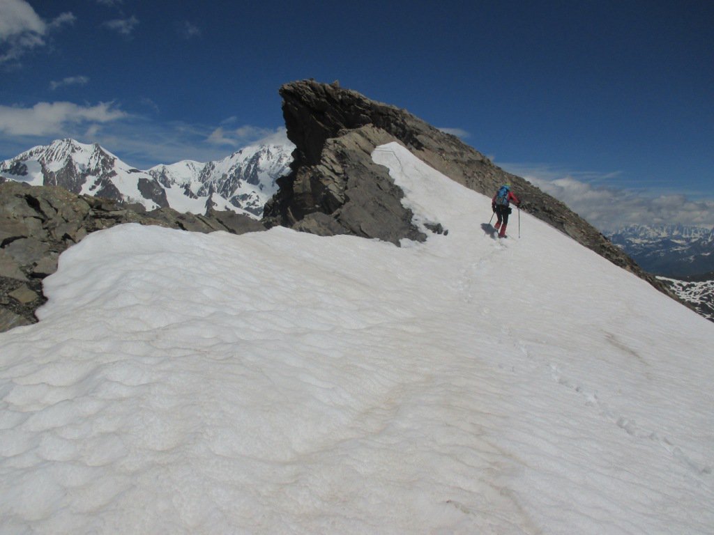
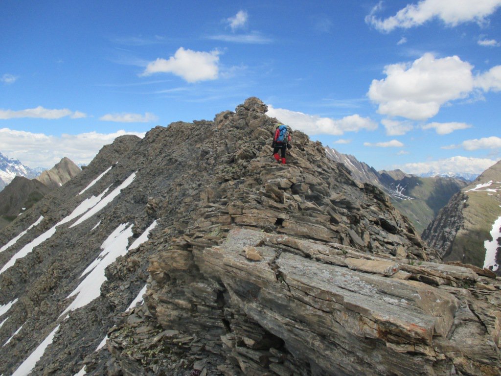
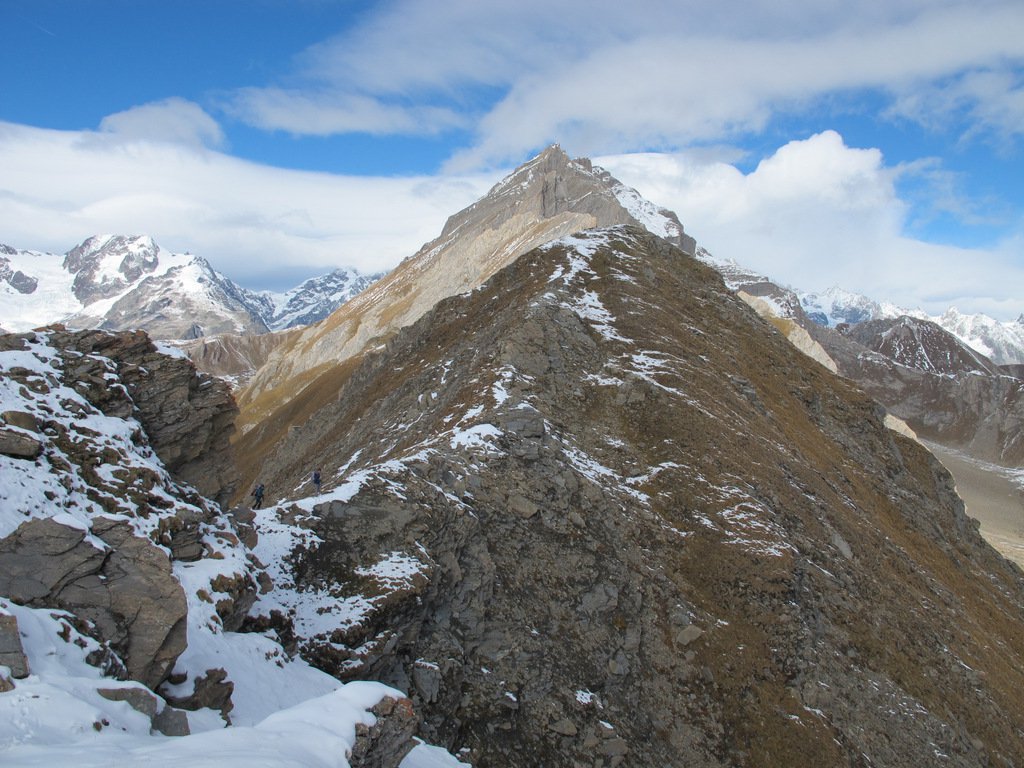
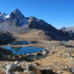
Percorrere l’eterna strada in piano che si immette nel vallone di Chavannes e percorrerla fino all’alpe di Chavannes di mezzo. Proseguire a sinistra sino all’alpe Chavannes di fondo dove finisce la strada. Risalire il ripido canale alle sue spalle con direzione ovest .Arrivati alla fine del canale si spiana e si arriva ai laghi originati dai resti del ghiacciaio di Chavannes. Da qui si vede chiaramente la meta che si trova a sinistra sulla cresta.Tagliare i pendii sud in diagonale, portandosi sulla spalla sud sotto la cima. Svoltare ora verso nord su terreno più ripido e risalire i pendii fino alla cresta a ovest e da li brevemente in vetta.
- Cartografia:
- arta Kompass 1 : 50000 n° 85 monte bianco
Nelle vicinanze Mappa
Itinerari
27/06/2015 AO, La Thuile D+ 1100 m E Sud
Orgère (Col d’) da Pont Serrand
 50m
50m
09/07/2026 AO, La Thuile D+ 900 m E Est
Fortin (Mont) da Pont Serrand per il Col des Chavannes
 50m
50m
24/08/2025 AO, La Thuile D+ 1050 m EE Nord-Est
Valaisan (Mont), Monte Bella Valletta, Monte Belvedere da Les Suches
1.6Km
26/06/2005 AO, La Thuile D+ 1290 m E Tutte
Fortin (Mont) da La Thuile, traversata a la Visaille
1.9Km
04/08/2011 AO, La Thuile D+ 1393 m EE Varie
Freduaz Orientale (Monte) da La Thuile, traversata al Colle del Piccolo San Bernardo per il Col de la Lex Blanche
 1.9Km
1.9Km
17/10/2015 AO, La Thuile D+ 1347 m EE Varie
Combe Varin (Monte) da La Thuile
 1.9Km
1.9Km
11/10/2025 AO, La Thuile D+ 1199 m E Tutte
Belvedere (Monte) da La Thuile, anello per il Colle del Piccolo San Bernardo
 1.9Km
1.9Km
23/10/2021 AO, La Thuile D+ 1142 m EE Varie
Deffeyes Albert (Rifugio) e laghi del Rutor da La Thuile, anello per Plan de la Lière e Comba Sorda
 1.9Km
1.9Km
10/09/2023 AO, La Thuile D+ 1265 m EE Varie
Belleface (Mont, Punta Sud) da La Thuile
 1.9Km
1.9Km
28/09/2025 AO, La Thuile D+ 1100 m E Nord-Est
Chaz Duraz (Mont) da La Thuile
 2.5Km
2.5Km