4.6Km
4.6Km

Avvicinamento
Storico
 50m
2.7Km
2.7Km
2.7Km
4.1Km
4.8Km
5.3Km
5.3Km
5.5Km
50m
2.7Km
2.7Km
2.7Km
4.1Km
4.8Km
5.3Km
5.3Km
5.5Km
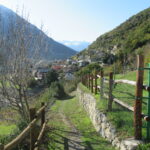
Accesso in auto: a Chambave abbandonate la Statale 27 oltrepassando la Dora e seguendo le indicazioni per Pontey; poi, dalla frazione Margnier, quelle per Verthuy e Cloutraz (1028 m), da dove parte l'itinerario.
Descrizione
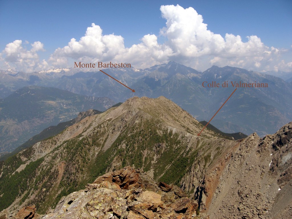
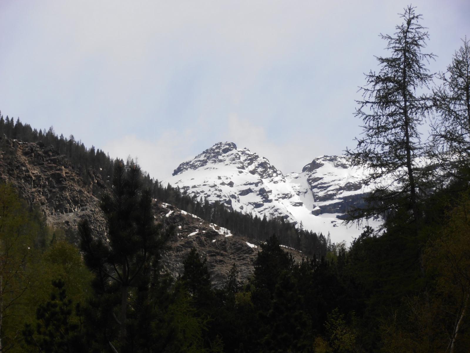
Seguite la strada poderale fino a quando, dopo aver lasciato due case sulla sinistra, incontrate la palina che segnala il sentiero n° 1, con destinazione Alpe Valmeriana e Monte Barbeston. Seguitelo fino ad incontrare di nuovo la poderale, per poi riprenderlo dopo pochi metri (bollo giallo a terra con segnavia uno). Quando tornate per la seconda volta sulla poderale, seguitela fino ad incontrare una palina che segnala il sentiero n° 2 per il Clapey Ghiabou. Seguitelo, guadagnando quota senza accorgervene (o quasi …) fino a scavalcare un costone sulla vostra sinistra e giungere quindi ai piedi del versante Nord della Cima Nera, la cui croce sommitale è già visibile, all’inizio di un’imponente pietraia (“clapey”, appunto). Il sentiero, dopo essersi immesso nel clapey, si perde, ma l’itinerario è evidente: bisogna puntare alla destra della cima, guadagnando la cresta Nord-Ovest, e poi percorrerne l’ultima parte; forse meglio appoggiare qualche volta le mani che avanzare sul pietrisco mobile.
Questo dovrebbe essere il percorso seguito dalla processione che da cinquant'anni si svolge nella seconda metà di luglio (nel 2015, il 26 luglio).
- Cartografia:
- IGC 5 - Cervino e Monte Rosa
Nelle vicinanze Mappa
Itinerari
20/08/2014 AO, Pontey D+ 760 m E Nord
Valmeriana (Alpe di) da Cloutraz
 50m
50m
28/12/2024 AO, Pontey D+ 1400 m E Nord
Valmeriana (Alpe di) da Pontey, anello
 2.7Km
2.7Km
05/05/2018 AO, Pontey D+ 1007 m E Nord
Cretaz-Ciardon (Alpe) da Pontey, anello per Bellecombe
 2.7Km
2.7Km
05/04/2026 AO, Chambave D+ 1250 m E Varie
Saint Evence (Cappella di) da Chambave, anello per il Colle di San Pantaleone
 2.7Km
2.7Km
14/05/2014 AO, Chambave D+ 700 m E Nord
Ponton (Bosco di) da Thuy
 4.1Km
4.1Km
02/06/2018 AO, Saint-Denis D+ 350 m E Sud
Saint Evence (Cappella di) da Semon, anello
 4.8Km
4.8Km
12/06/2021 AO, Verrayes D+ 208 m T Sud
Cammino Balteo tappa n.9 da Verrayes a Nus
 5.3Km
5.3Km
24/11/2012 AO, Chambave D+ 1869 m E Sud
Aver (Becca d’) da Champagne per la diretta del versante sud
5.3Km
01/05/2019 AO, Verrayes D+ 1300 m E Sud
Bornes (Col des) da Champagne, anello
 5.3Km
5.3Km
27/11/2025 AO, Châtillon D+ 1100 m EE Sud
Saint Evence (Cappella di) da Chatillon
 5.5Km
5.5Km