

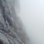
L’attacco della via si trova su una cengetta a destra della grotta (1 spit).
L1 salire a strapiombo, traversare a destra per passarlo(3 chiodi, 5+, e diritto leggermente verso sx(4 +). R1 su un pino. 35 m.
L2 Dritto poi leggermente a sinistra su 3-4m (chiodi, 4 +) a un pino. Torna a destra per salire placche grigie (3) per un sostare presso ungrande pino (R2) su una buona cengia. 40 m.
L3 A sinistra verso cespuglio, 10 m sopra piccolo pino, Continuare verso sinistra (4 +). R3 (2 chiodi). 30 m.
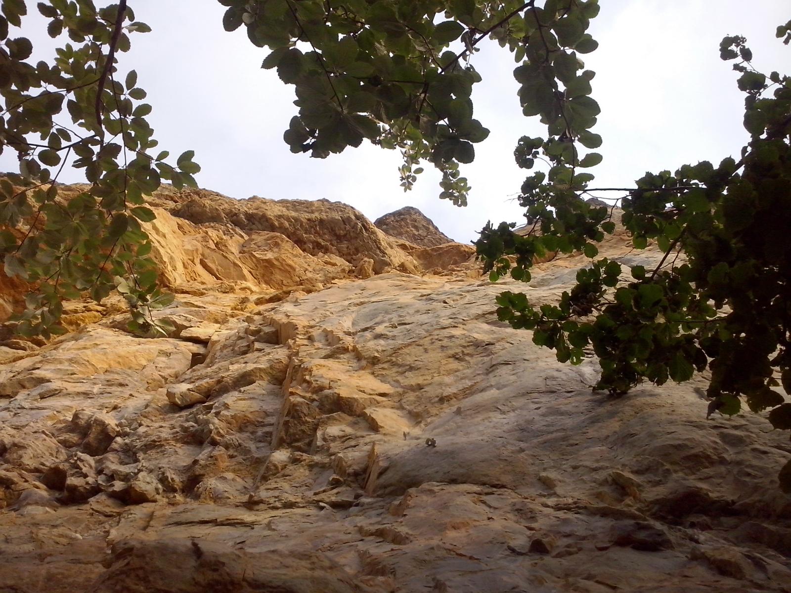
L4 3 m traverso a sx, 3 m su piccola cresta (4 +). Verso destra per un piccolo corridoio erboso che porta a una grotta. Risalire ilcouloir, traversare verso sinistra a cengia con pini, traverso a sx fino a chiodo e risalire (IV+)(sosta su pino morto) 50 m, attrito corde!.
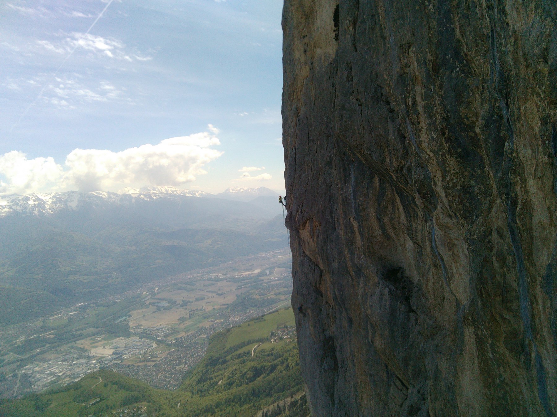
L5 Ai piedi del muro giallo, attraversare a destra per roccia gialla marcia per raggiungere una fessura verticale (chiodi e cordino visibile). Risalirla (una dozzina di chiodi, 6a +> A0), passo più facile in libera e poi un’altra fessura verso sx. Fare sosta su un piccolo pino. 45 m.
L6 Placca (5 +) e guadagnare un piccolo sperone. passare lo strapiombo verso sinistra (chiodi, 6a +> 5 + A0). raggiungere un pino ed un “buco” per fare sosta. 40 m
L7 traverso a sx in leggera discesa (1 chiodo) e seguire una fessura verso sx (chiodi, 6> 5 + A0). Continuare attraversando a sinistra per un pino secco (sosta). 40 m.
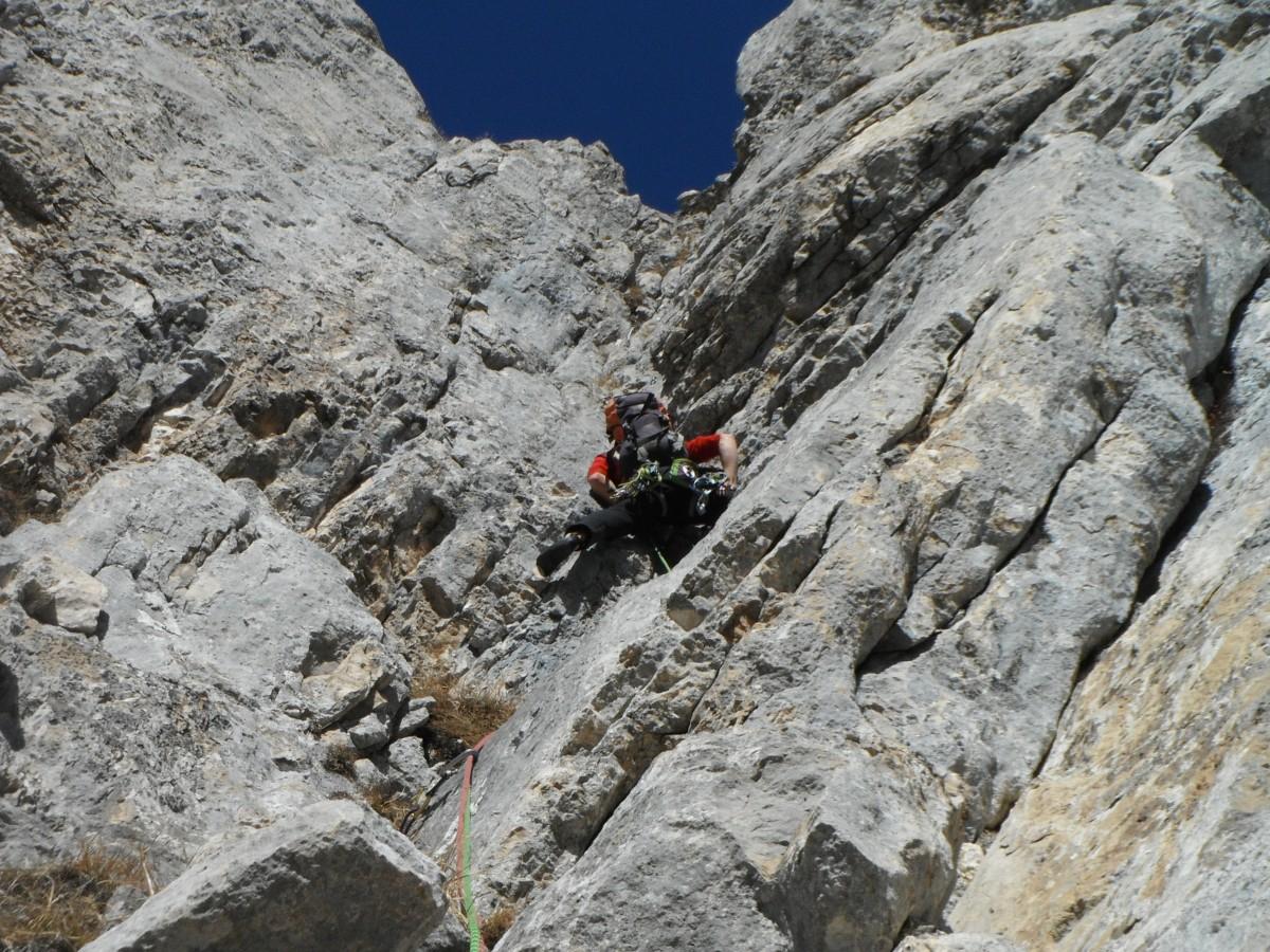
L8 seguire la fessura (4-5 chiodi, 5), al termine traversare a destra in discesa (corrimano) (5), raggiungere il fondo della fessura a destra (2 chiodi) e risalirla. su per gli ultimi dieci metri (5 +, caminoso). sosta su chiodi a base di fessura.
L9 salire la fessura (3 chiodi 7a> A0 e 6a) per raggiungere una buona cengia. sosta su albero
L10 migliore Continuare verso l’alto alla meglio ( 3 + / 4).
Discesa:
N dal Col de l’Alpe
Questo è il più semplice.
Attraversare il pianoro sommitale NNW per ottenere una forte depressione (molti sentieri) e un sentiero segnalato. seguire il sentiero per la N e il col del Alpe (croce). Un buon sentiero segnalato scende verso il NE Pre Orcel arrivò a una capanna (capanna Allier 1530 m), prendere il sentiero che va a destra e di nuovo al Pre Orcel. 45 min.
- Cartografia:
- IGN 3333OT Massif de la Chartreuse Nord
- Bibliografia:
- Escalades dans le massif de la Chartreuse - Serge Coupé - 1985 Escalades en Chartreuse - Julien Bourdat, Yannick Guérillot - 2010 Escalades en Vercors Chartreuse et Dévoluy - Dominique Duhaut, Philippe Peyre - 2011 Les Préalpes du Nord - Les 100 plus bell
Nelle vicinanze Mappa
Itinerari
Grand Manti – Via della Rampa
 6.5Km
6.5Km
Grand Manti (le) – Titanic
 8.7Km
8.7Km
Midi (Rocher du) Bille de Clown
 15.4Km
Crolles (Dent de) Pilier Sud
 18.2Km
Belledonne (Gran Pic de) Rébuffat+ traversata delle creste
 29.3Km


