1.4Km
1.4Km
Note
 50m
50m
50m
1.1Km
1.1Km
1.1Km
1.4Km
1.4Km
1.4Km
50m
50m
50m
1.1Km
1.1Km
1.1Km
1.4Km
1.4Km
1.4Km
1.4Km
1.6Km
4.4Km
4.4Km
4.5Km
4.5Km
4.5Km
7.2Km
7.2Km
7.4Km
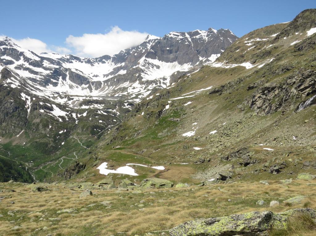
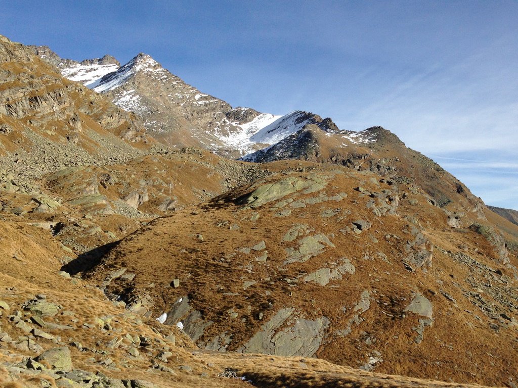
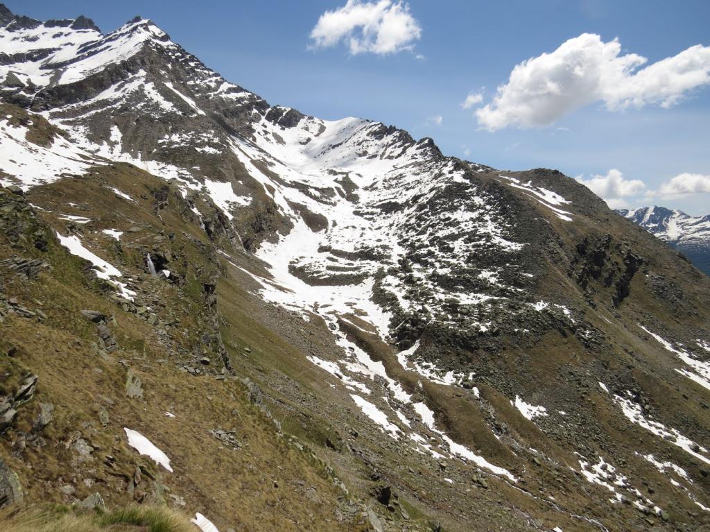
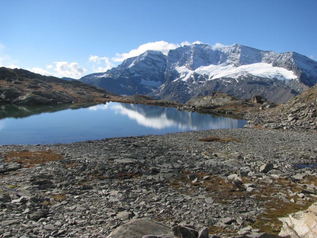
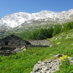
L’Alpe Comba posta a quota 2550 circa in ottima posizione molto panoramica appena sopra del tracciato del sentiero del Colle della Terra.
Avvicinamento
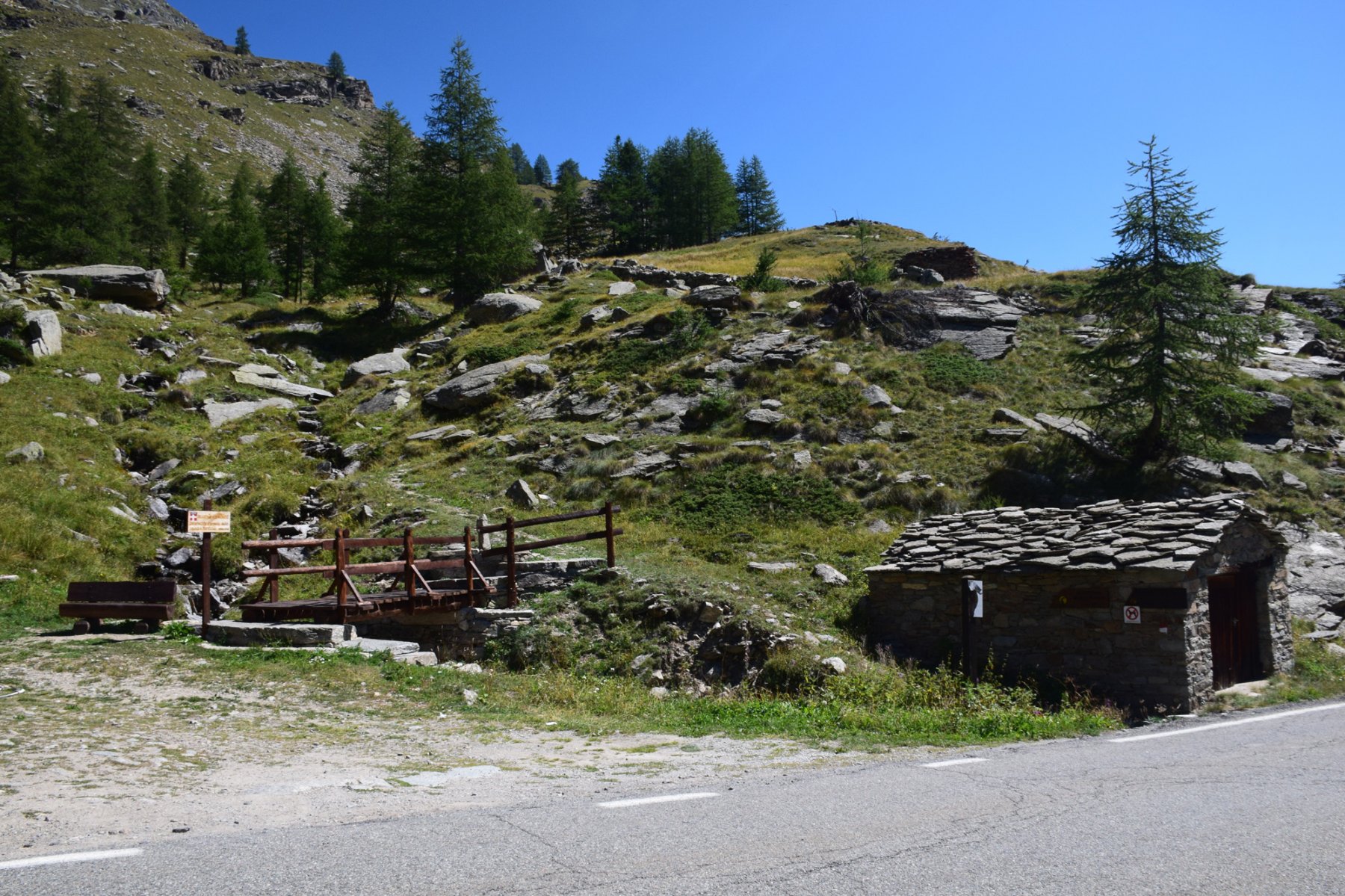
Poco prima di Chiapili di sopra sulla destra a bordo strada, uno spiazzo sterrato per parcheggiare l’auto.
Descrizione
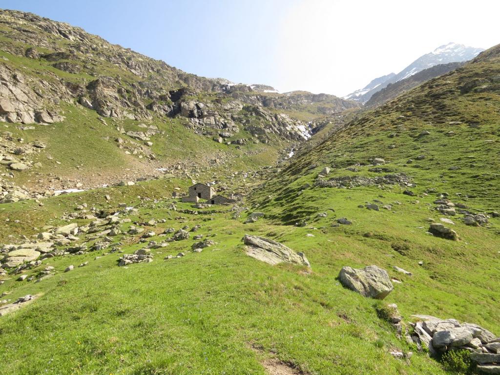
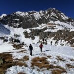
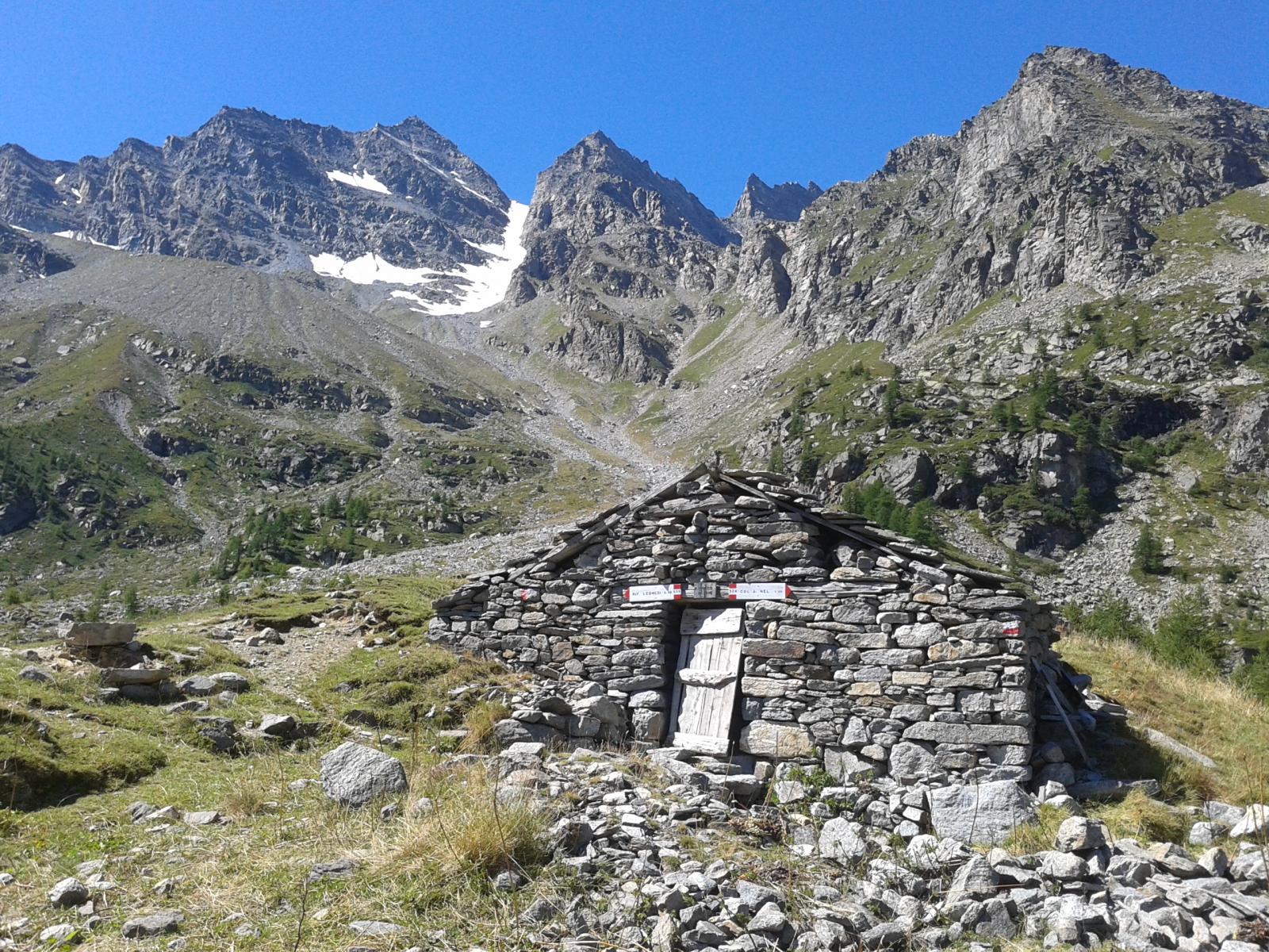
Vicino ad una casetta in pietra inizia il sentiero Videsott che sale con ampi tornanti passando nei pressi di vari alpeggi ed all’altezza dell’Alpe Muanda si incrocia col Sentiero Tempo, svolta a destra, risale un tratto di valletta svolta a sinistra e con un traversone va ad innestarsi sul sentiero proveniente dalla strada del Nivolet.
Svoltare a destra, percorrere poco più di duecento metri ed in alto a sinistra compare su una roccia il cartello giallo dell’Alpe Comba che si raggiunge in pochi minuti. Discesa sullo stesso percorso fino alla palina con indicazione Sentiero Tempo all’altezza dell’Alpe Muanda, puntare ora alle baite, risalire leggermente dietro queste ultime, poi con lungo e panoramico traverso raggiungere l’ampio curvone della vecchia strada militare, scendere all’Alpe Pilocca, segue un breve tratto di asfalto, poi nuovamente sentiero che termina sulla strada asfaltata nei pressi dell’Alpe Brengiat; ora non resta che percorrere circa un km di strada per raggiungere il punto di partenza.
- Cartografia:
- L'Escursionista - carta dei sentieri n. 14
Nelle vicinanze Mappa
Itinerari
18/08/2025 TO, Ceresole Reale D+ 1146 m E Sud-Ovest
Rocchetta (Punta) e Colle della Terra da Chiapili di Sopra
 50m
50m
03/08/2025 TO, Ceresole Reale D+ 1030 m EE Varie
Gias di Beu (Lago) da Chiapili di Sopra
 50m
50m
09/10/2013 TO, Ceresole Reale D+ 1300 m EE Sud-Ovest
Violetta (Punta) da Chiapili di Sopra per il Sentiero Videsott, Alpe e Laghi Comba e cresta SO
 50m
50m
30/06/2026 TO, Ceresole Reale D+ 697 m E Tutte
Agnel (Truc dell’) o quota 2401 m da Chiapili di sopra
 1.1Km
1.1Km
20/05/2007 TO, Ceresole Reale D+ 800 m E Sud
Rocchetta (Punta) e Colle della Terra da Chiapili di Sopra, anello sentieri Chabod, Videsott, Tempo
1.1Km
30/05/2026 TO, Ceresole Reale D+ 1014 m E Ovest
Nivolet (Colle del) da Chiapili di Sopra
 1.1Km
1.1Km
27/06/2026 TO, Ceresole Reale D+ 844 m EE Nord
Uja (Costiera dell’) da Chiapili di Sopra
 1.1Km
1.1Km
25/06/2026 TO, Ceresole Reale D+ 1190 m EE Nord
Fasce (Cima delle) da Chiapili di Sotto per il Rifugio Jervis e Colle di Nel
 1.4Km
1.4Km
22/06/2025 TO, Ceresole Reale D+ 1045 m EE Nord-Est
Crubià (Colle della) quota 2712 m a N/NE da Chiapili di sotto
 1.4Km
1.4Km
10/06/2007 TO, Ceresole Reale D+ 168 m T Varie
Chiapili di Sotto, Sentiero Miniera e Marmitte dei Giganti
 1.4Km
1.4Km
Servizi
1.4Km
1.6Km
Da emilia Ristorante
Ceresole Reale
4.4Km
Villa Campeggio
Ceresole Reale
4.4Km
Massimo Mila Rifugio
Ceresole Reale
4.5Km
Città di Chivasso Rifugio
Ceresole Reale
4.5Km
Lanterna del duca Ristorante
Ceresole Reale
4.5Km
Mila Rifugio
Ceresole Reale
7.2Km
Lo stambecco Ristorante
Ceresole Reale
7.2Km
Bianchetti Ristorante
Ceresole Reale
7.4Km