2.2Km
2.2Km

Note
 50m
50m
1.5Km
2Km
2.2Km
2.2Km
2.6Km
2.6Km
50m
50m
1.5Km
2Km
2.2Km
2.2Km
2.6Km
2.6Km
2.2Km
2.2Km
2.4Km
3.8Km
4.5Km
4.9Km
5.1Km
5.6Km
5.6Km
5.6Km
Itinerario ad anello con mulattiere stupende nella parte bassa e sentieri + che discreti in alto - il crestone del Truc Restlin aggiunge un tocco di selvaggio e fuori sentiero alla gita che non guasta
Avvicinamento
.
Descrizione
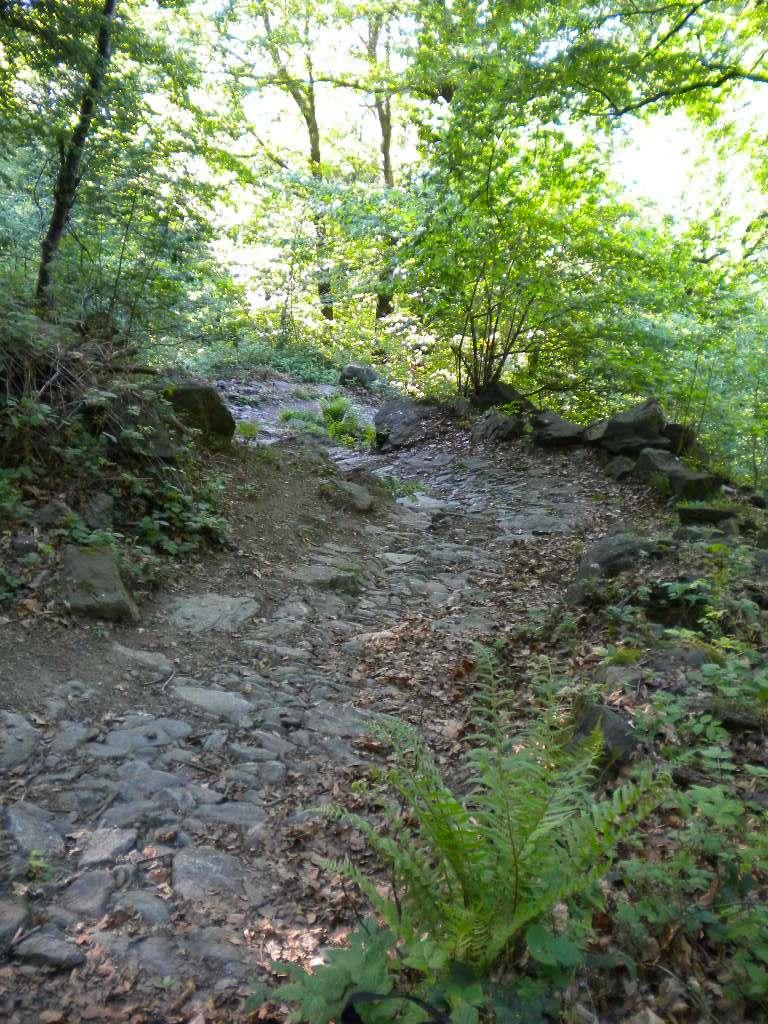
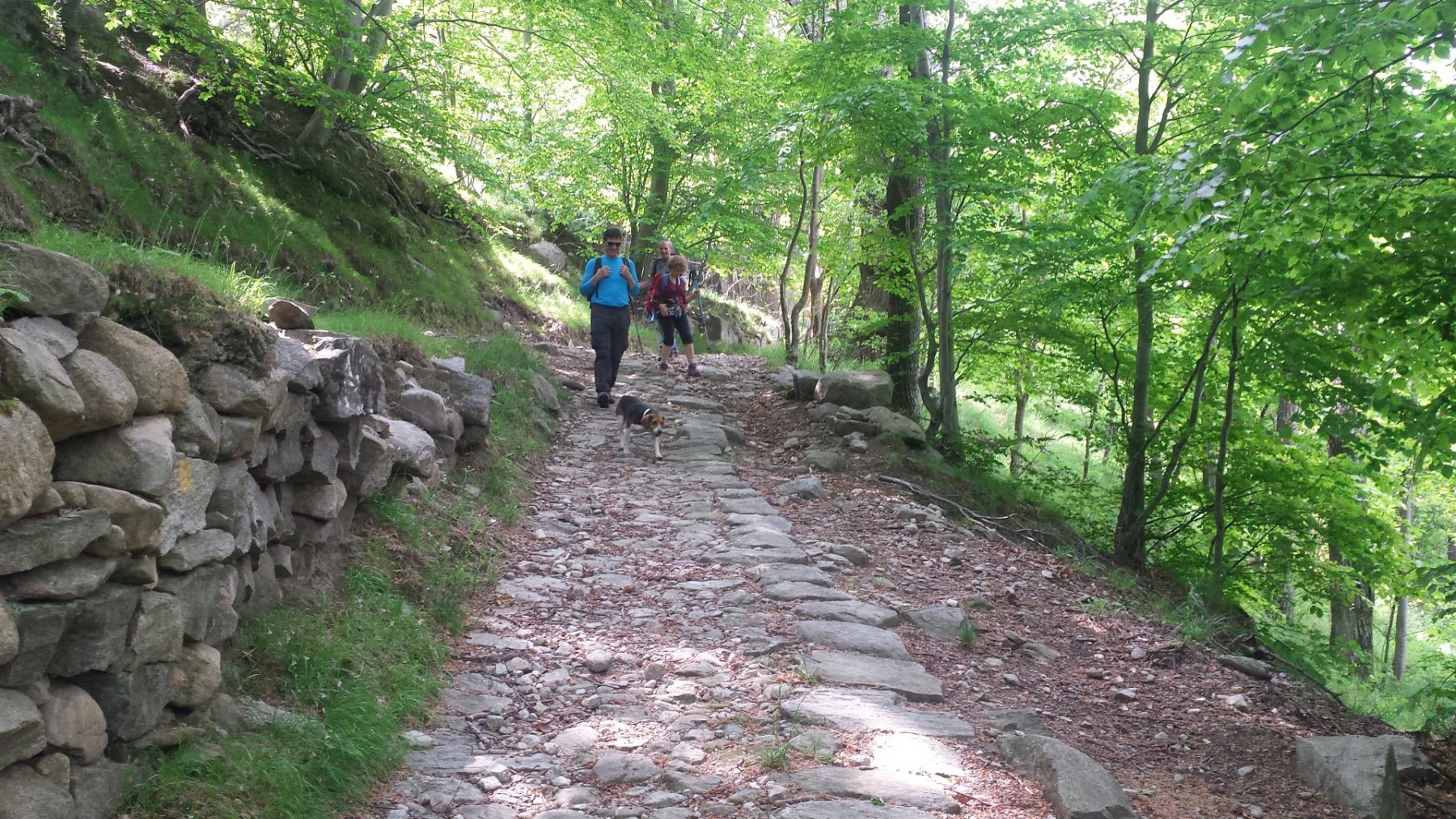
Dal piazzale della Chiesa Parrocchiale di San Pietro Apostolo inizia la mulattiera (a destra della chiesa, segnavia 503).
Dopo circa 10’ si stacca sulla sinistra una traccia che conduce alla Fontana del Frate (Prà Dudét, Funtan-a dl Fra, area pic-nic).
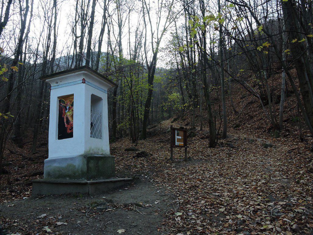
Tralasciata la deviazione, si continua fino ad incontrare un bivio dove si mantiene il percorso di sinistra. Si incontra un sentiero che porta alla borgata S. Pietro, ma si segue quello che sale a destra giungendo poco dopo a Pian Paschetto (650 m, area pic-nic), pianoro con relativo Pilone votivo, ottimo balcone sulla alta Valle di Susa.
Ripresa la salita, dopo appena 5’, s’incontra una deviazione che conduce ad una fontanella. Proseguendo dopo circa 15’ di cammino, si perviene alla “Croce Rossa”, che segnala la biforcazione per la borgata Basinatto (a destra) e la Sacra (a sinistra).
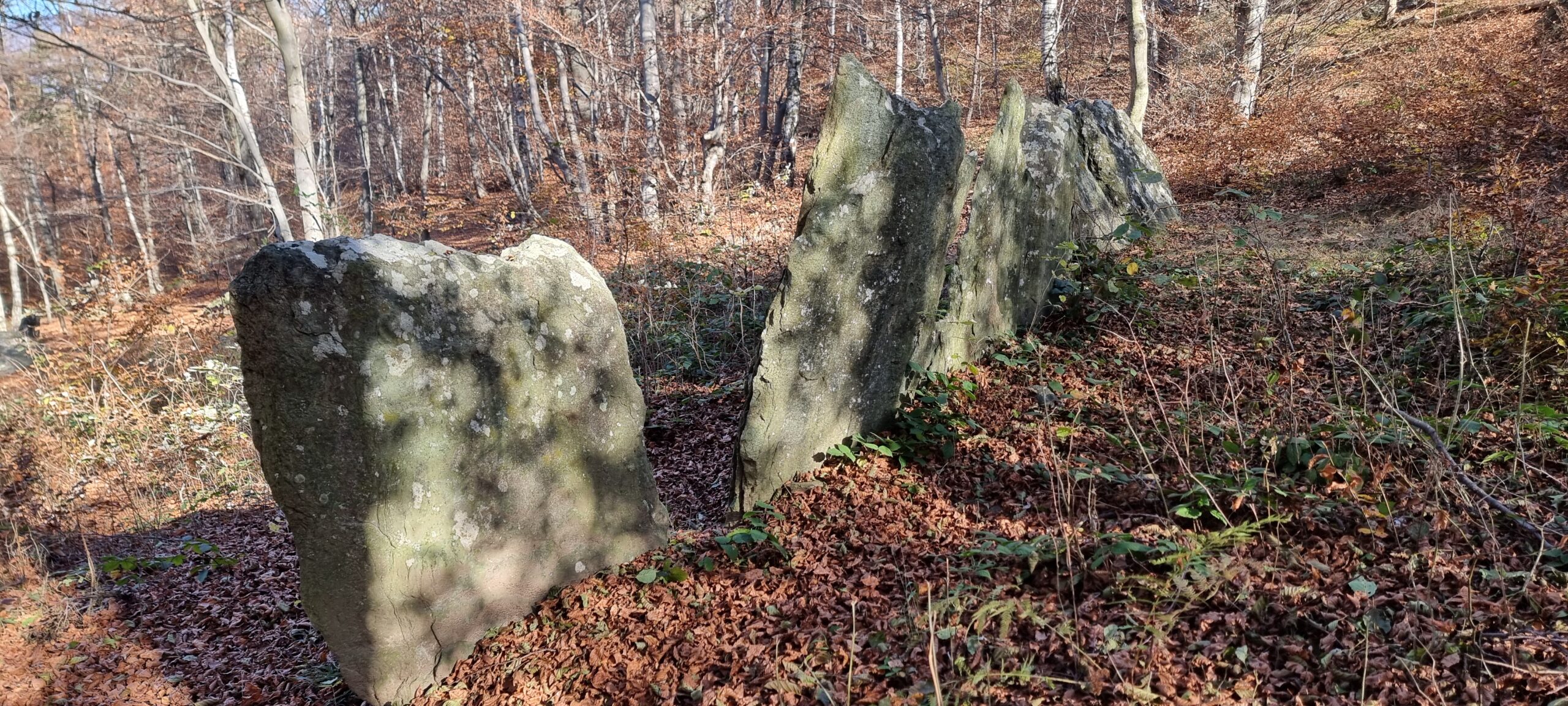
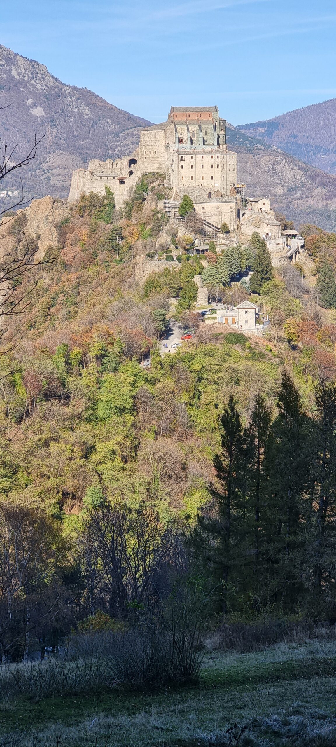
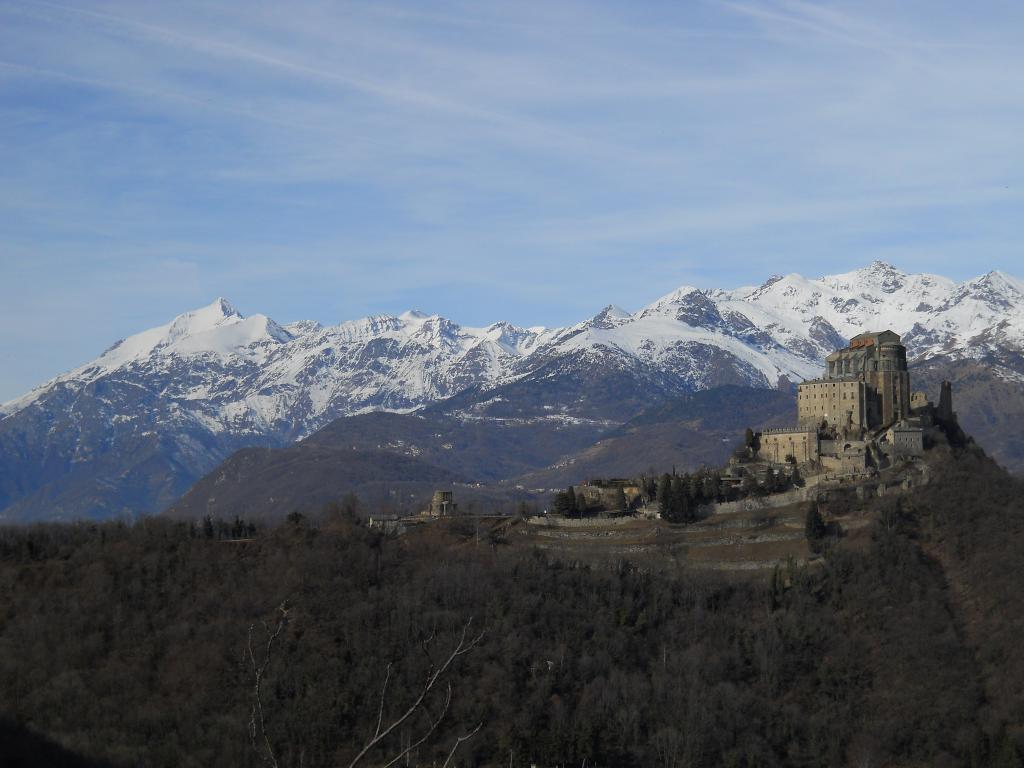
Si va a sx e con alcuni facili tornanti si arriva al Colle della Croce Nera, non senza aver prima visitato la “Cava d’Andrade” (deviazione sulla destra poco prima del Colle), sito dal quale vennero estratti ad inizio ‘900 i blocchi di prasinite destinati al restauro della Sacra di S. Michele.
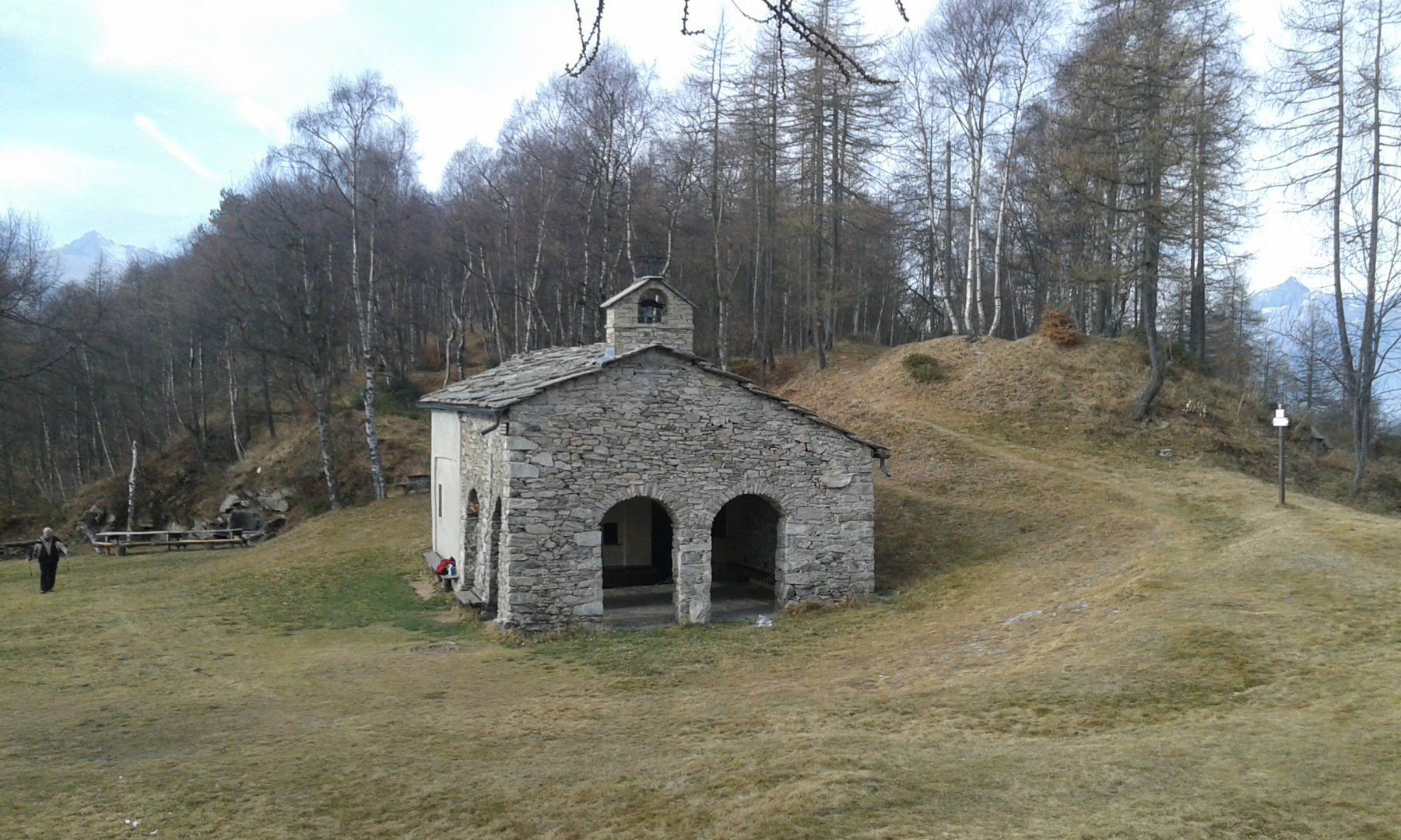
Si arriva quindi all’ampio piazzale del Colle della Croce Nera (859 m), dove si trova anche una costruzione con relativo ristorante.
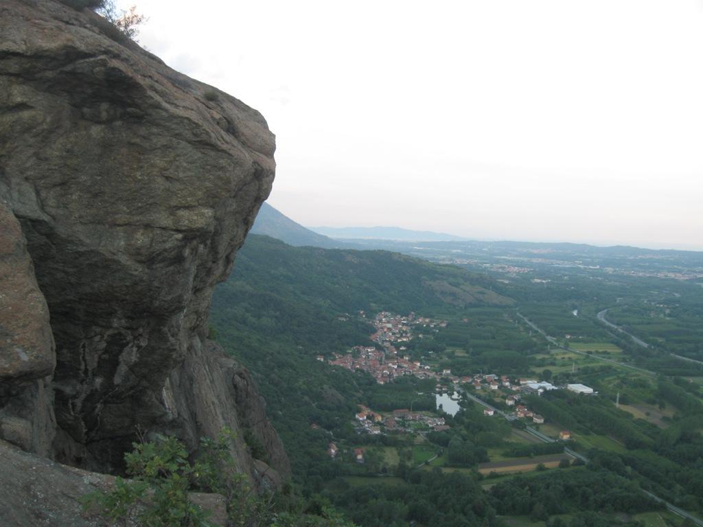
Seguire la strada del colle Braida fino al belvedere (vedi foto annessa)
Da qui salire un primo pendio assai ripido ma non difficile che consente di puntare alla cima del Truc Restlin 1115 e da qui sempre seguendo il largo crestone
si arriva alla q. 1144 si perde lievemente quota e – in dir. Sud – si risale alla vetta del Monte Ciabergia .
Dalla vetta seguire il sentiero per il colle Braida
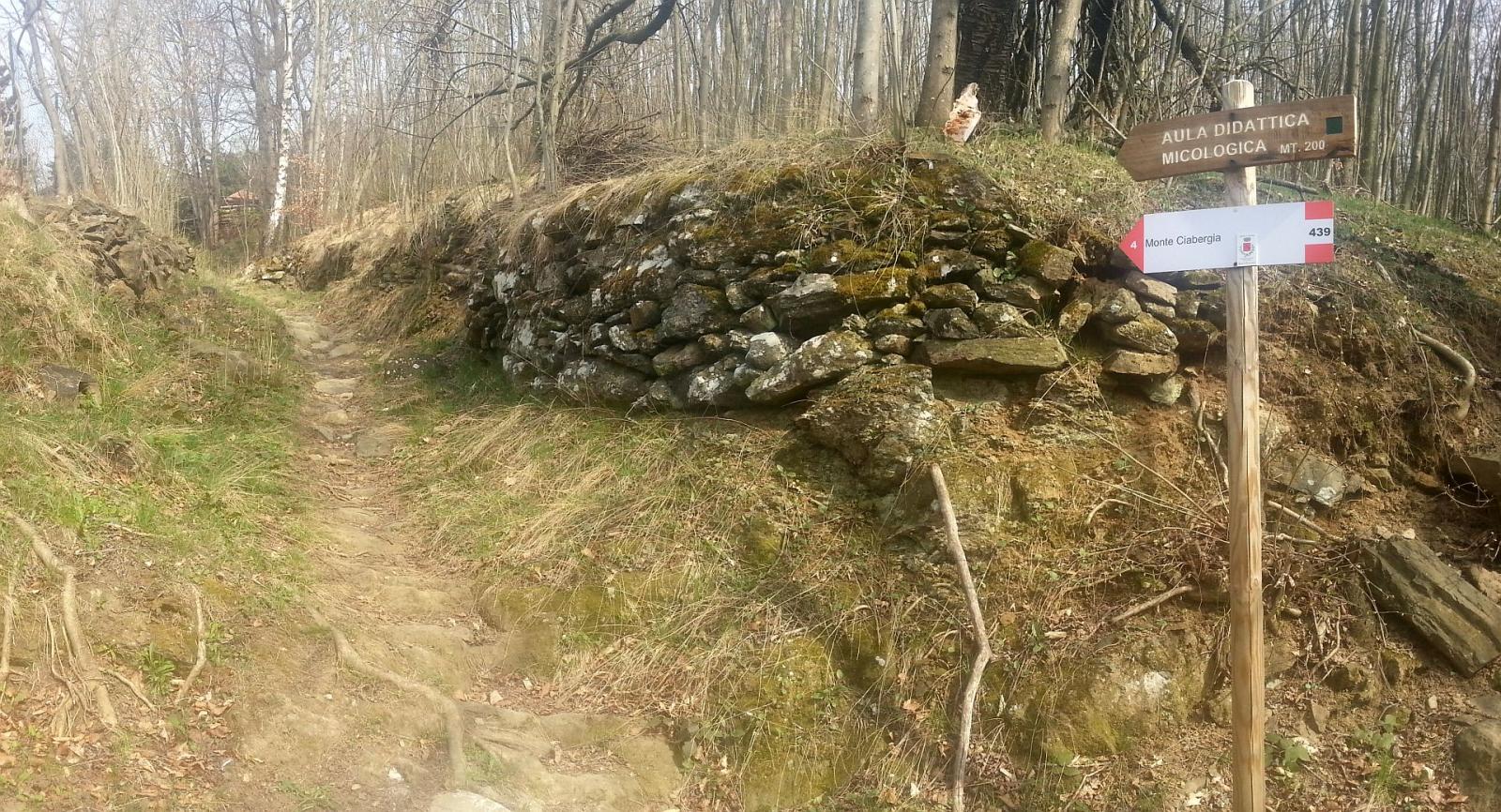
Al colle imboccare la stradina che si stacca appena a sx (Nord) della strada che scende alla Abbazia(frecce bianche per terra)- questa strada dopo 100 m diventa sentierino e dopo un po si biforca – il sentiero di SX arriva a Basinatto (foto con segnavia coca cola) – immagino che anche il sent. di Dx vada a Basinatto ma non lo ho percorso
A Basinatto ci si arriva ad un tornante. Occorre prestare attenzione : il sentiero riprende poco oltre a sx (cartello con un 4)
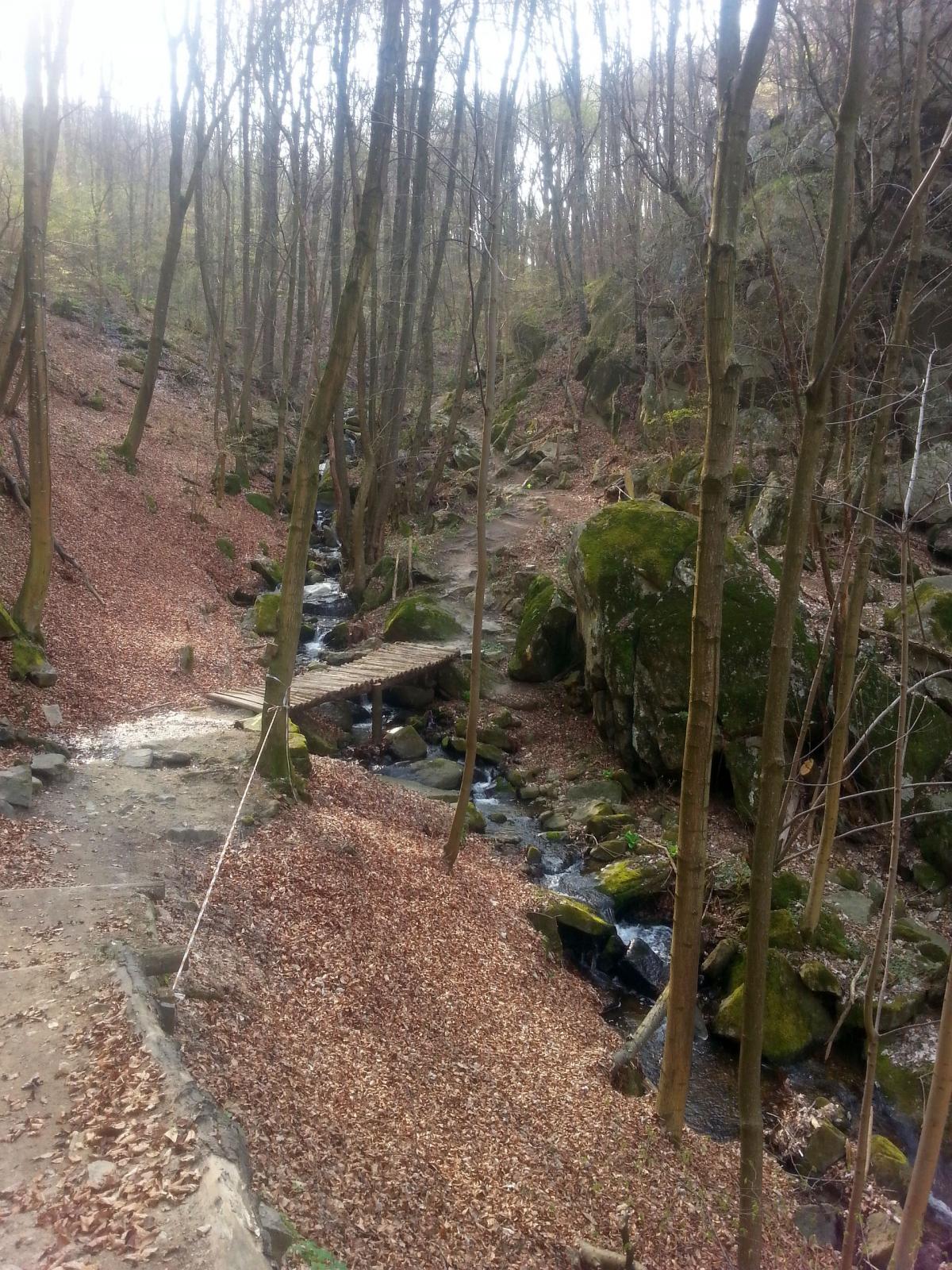
Inizialmente si tratta di una traccia poco evidente che si inoltra in discesa nel prato divenendo nuovamente evidente dopo qualche decina di metri.
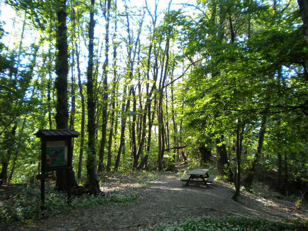
Si raggiunge successivamente il bel pianoro di Pian Pomè (890 m); proseguendo ancora sul Sentiero dei Franchi ci si innesta sulla strada asfaltata che dopo poche centinaia di metri da percorrere in discesa porta alla borgata Bennale (934 m) dove è presente un pannello che descrive i percorsi escursionistici della zona.
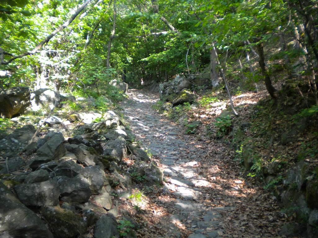
Si attraversa la borgata seguendo la strada che poco dopo diventa una larga mulattiera lastricata (a sinistra è visibile un campo da bocce), quando si incontra il Pilone del Bennale occorre mantenere la sinistra, da questo punto inizia la discesa verso Chiusa S.Michele.
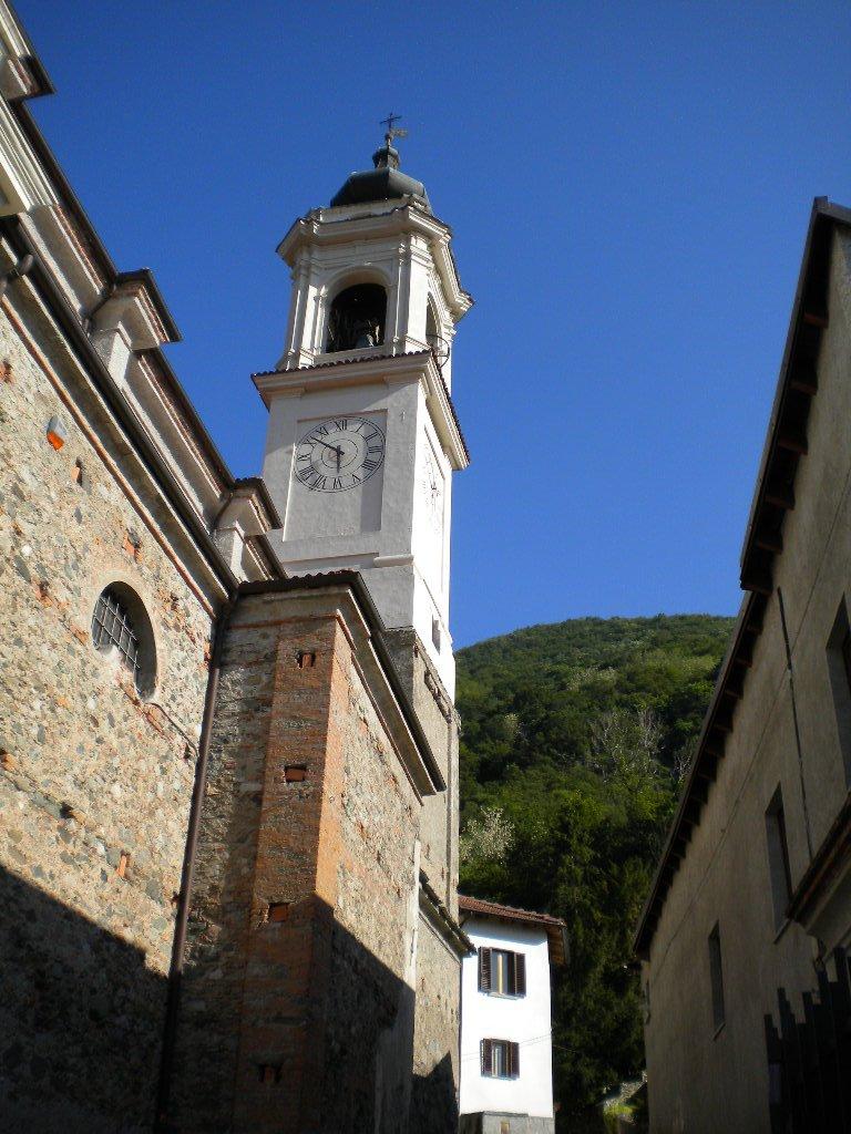
Proseguendo in breve si raggiunge Chiusa San Michele .
- Cartografia:
- Fraternali editore 1 25000
Nelle vicinanze Mappa
Itinerari
06/06/2026 TO, Chiusa di San Michele D+ 580 m E Nord
Pirchiriano (Monte) e Sacra di San Michele da Chiusa di San Michele per Pra Dudet
 50m
50m
28/12/2020 TO, Chiusa di San Michele D+ 850 m E Varie
Pirchiriano (Monte) e Sacra di San Michele da Chiusa San Michele, anello per Basinatto e Bennale
 50m
50m
30/10/2020 TO, Sant'Ambrogio di Torino D+ 343 m T Nord-Ovest
Ciabergia (Monte) dal Colle della Croce Nera
 1.5Km
1.5Km
23/01/2025 TO, Caprie D+ 1046 m E Varie
Sentieri Resistenti Tappa 7: da Caprie a Coazze
2Km
26/01/2025 TO, Caprie D+ 705 m E Tutte
Bianca (Rocca) da Caprie, anello per l’orrido e l’Alpe Caprasio
 2Km
2Km
01/12/2007 TO, Valgioie D+ 420 m T Varie
Aschiero (Pian) dal Colle Braida
2.2Km
27/04/2016 TO, Valgioie D+ 900 m E Tutte
Orso (Punta e Pian dell’) da Colle Braida per il Colle Bione
 2.2Km
2.2Km
16/03/2026 TO, Valgioie D+ 431 m E Tutte
Bione (Colle) dal Colle Braida
 2.2Km
2.2Km
29/03/2026 TO, Condove D+ 1250 m E Sud-Est
Castelletto (Truc) da Condove, anello per Mocchie e Muni
 2.6Km
2.6Km
01/03/2026 TO, Condove D+ 1000 m E Sud-Est
Prarotto da Condove, anello per Mocchie e Giagli
 2.6Km
2.6Km
Servizi
2.2Km
2.2Km
La Sosta Ristorante
Condove
2.4Km
Pera Rionda B&B
Condove
3.8Km
Rocca Sella Rifugio
Caprie
4.5Km
del Pellegrino Ristorante
Sant'Ambrogio di Torino
4.9Km
Dei Prati Ristorante
Condove
5.1Km
Al Molino B&B
Valgioie
5.6Km
Mocchie Ristorante
Condove
5.6Km
La stalla di Mucca Pazza Ristorante
Coazze
5.6Km