50m
50m
Note
 50m
50m
6Km
6Km
6Km
6.8Km
7.9Km
8.7Km
50m
50m
6Km
6Km
6Km
6.8Km
7.9Km
8.7Km
50m
50m
100m
100m
150m
200m
200m
200m
400m
450m
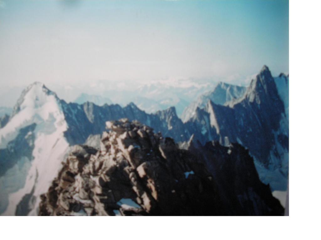
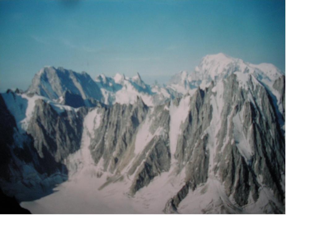
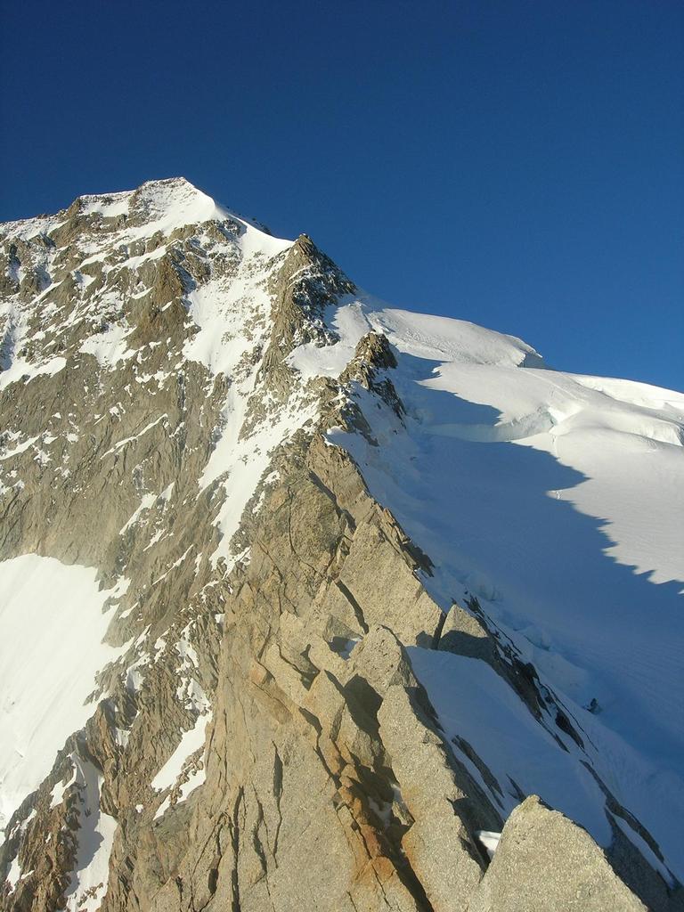
Per coloro che hanno esperienza su ghiaccio, l'itinerario non e' molto difficile.L'arrampicata al di sopra e' remunerativa.Ineguagliabile balcone sul gruppo del Monte Bianco sul Gran Combin sulla valle del Rodano e sull'Aiguilles e Glacier de Saleina.
Avvicinamento
.
Descrizione
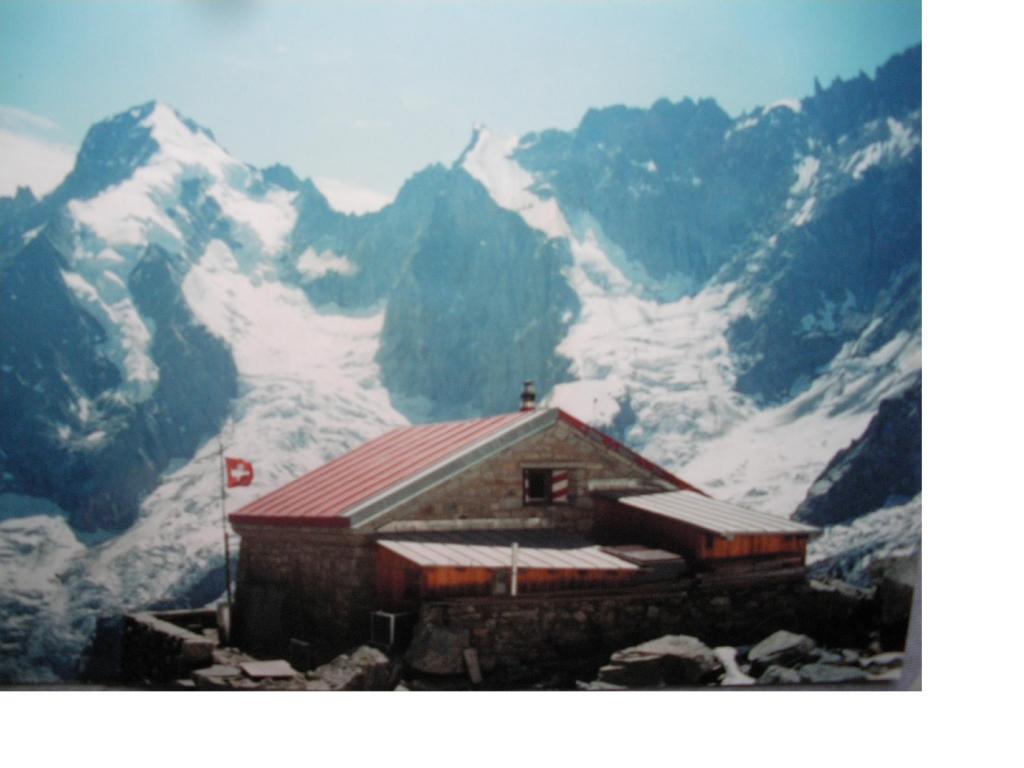
Da la Fouly per sentiero segnalato alla Cab.de L’A Neuve.1g.(4h).
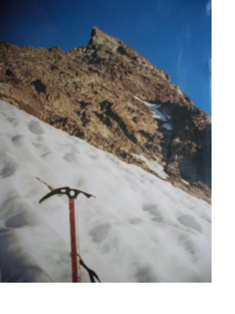
Dal rifugio si attraversa il Glacier de l’A Neuva in direzione della grande nervatura che dal passage d’Argentiere, si adagia verso est. La si segue, quando essa si perde nella parete, salire direttamente per rocce disfatte tra placche di neve, fino a raggiungere la cresta sud,(200m. piu’ a nord del Col d’Argentiere) di grossi blocchi che si percorre sul filo.
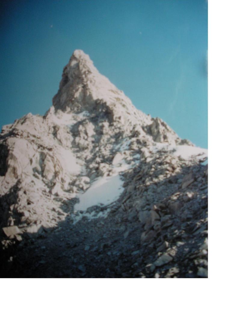
E dopo aver superato a dx o a sx un gendarme; si raggiunge una forcelletta dominata da un secondo gendarme. Da qui si sale verso dx una serie di cengie detritiche(cengie Javelle), abbastanza facili, verso un liscio canale-camino di 12mt. Che si sale in opposizione (2°)fino ad uscire su solidi blocchi.
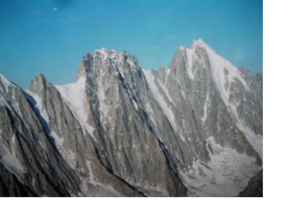
Queste belle roccie conducono a una forcella fra le due cime, dalla quale si sale verso dx sull’affilata cresta fino al punto piu’ alto. Discesa per lo stesso itinerario di salita.
- Cartografia:
- IGC
- Bibliografia:
- Guida Vallot La Chaine du Mont Blanc vol 3
Nelle vicinanze Mappa
Itinerari
13/08/2021 Entremont, Orsières D+ 1916 m F Sud
Grande Lui da La Fouly
50m
18/08/2025 Entremont, Orsières D+ 2155 m AD+ Sud-Est
Grand Darrey Cresta Sud-Est
 50m
50m
01/05/2026 Entremont, Orsières D+ 2226 m AD+ Tutte
Dolent (Mont) Arete Gallet
 50m
50m
05/07/2015 Entremont, Orsières D+ 2200 m PD- Varie
Tour (Aiguille du) da Praz de Fort per la Cabane de Saleina
 6Km
6Km
13/09/2009 Entremont, Orsières D+ 2179 m AD- Nord
Gran Lui da Praz de Fort per il Col de Saleina e la parete sud
 6Km
6Km
01/05/2007 Entremont, Praz-de-Fort D+ 2900 m AD+ Nord-Est
Argentiere (Aiguille d’), versante est – canalone Barbey
 6Km
6Km
17/03/2014 Haute-Savoie, Chamonix-Mont-Blanc D+ 1000 m TD Nord-Ovest
Dolent (Mont) Via Charlet-Couturier + goulotte varianti
 6.8Km
6.8Km
11/05/2015 Haute-Savoie, Chamonix-Mont-Blanc D+ 500 m TD Varie
Pre de Bar (Pointe) – Goulotte Madness Tres Mince
6.9Km
07/03/2025 Haute-Savoie, Chamonix-Mont-Blanc D+ 900 m TD Nord-Ovest
Domino (Pointe du) Petit Viking
 7.9Km
7.9Km
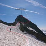
21/08/2024 AO, Courmayeur D+ 1558 m F+ Sud-Ovest
Petit Grapillon da Arnouva
 8.7Km
8.7Km
Servizi
50m
 50m
50m
Auberge des Glaciers Albergo
La Fouly 100m
100m
Supermarché de La Fouly Servizi
La Fouly 100m
100m
Glaciers Ristorante
La Fouly 150m
150m
Hotel Edelweiss Albergo
La Fouly 200m
200m
Auberge de Maya Joie Albergo
La Fouly 200m
200m
Majya-Joie Ristorante
La Fouly 200m
200m
Edelweiss Ristorante
La Fouly 400m
400m
Chalet le Dolent B&B
La Fouly 450m
450m