1.4Km
1.4Km
Note
 50m
50m
50m
50m
50m
50m
50m
50m
50m
50m
50m
50m
50m
50m
50m
50m
50m
50m
50m
50m
1.4Km
4Km
5.3Km
5.3Km
7Km
7.8Km
9.1Km
9.8Km
9.9Km
9.9Km
gita dal lungo spostamento che richiede buon allenamento e soprattutto neve trasformata. La maggior parte dell’itinerario si svolge su pendii ampi. La cresta di confine presenta tratti un po’ ripidi e aerei, a seconda dell’innevamento. La gita può terminare al Pe Brun ed è già una bella soddisfazione. Picca e ramponi utili in caso di neve dura
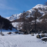
Avvicinamento
.
Descrizione
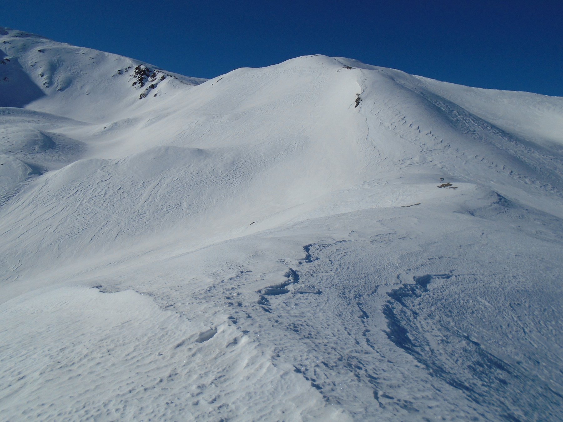
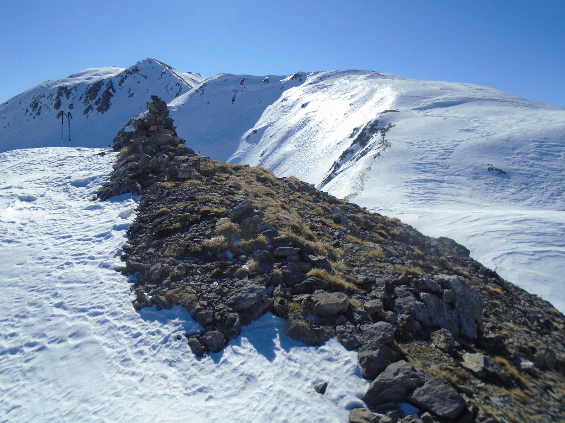
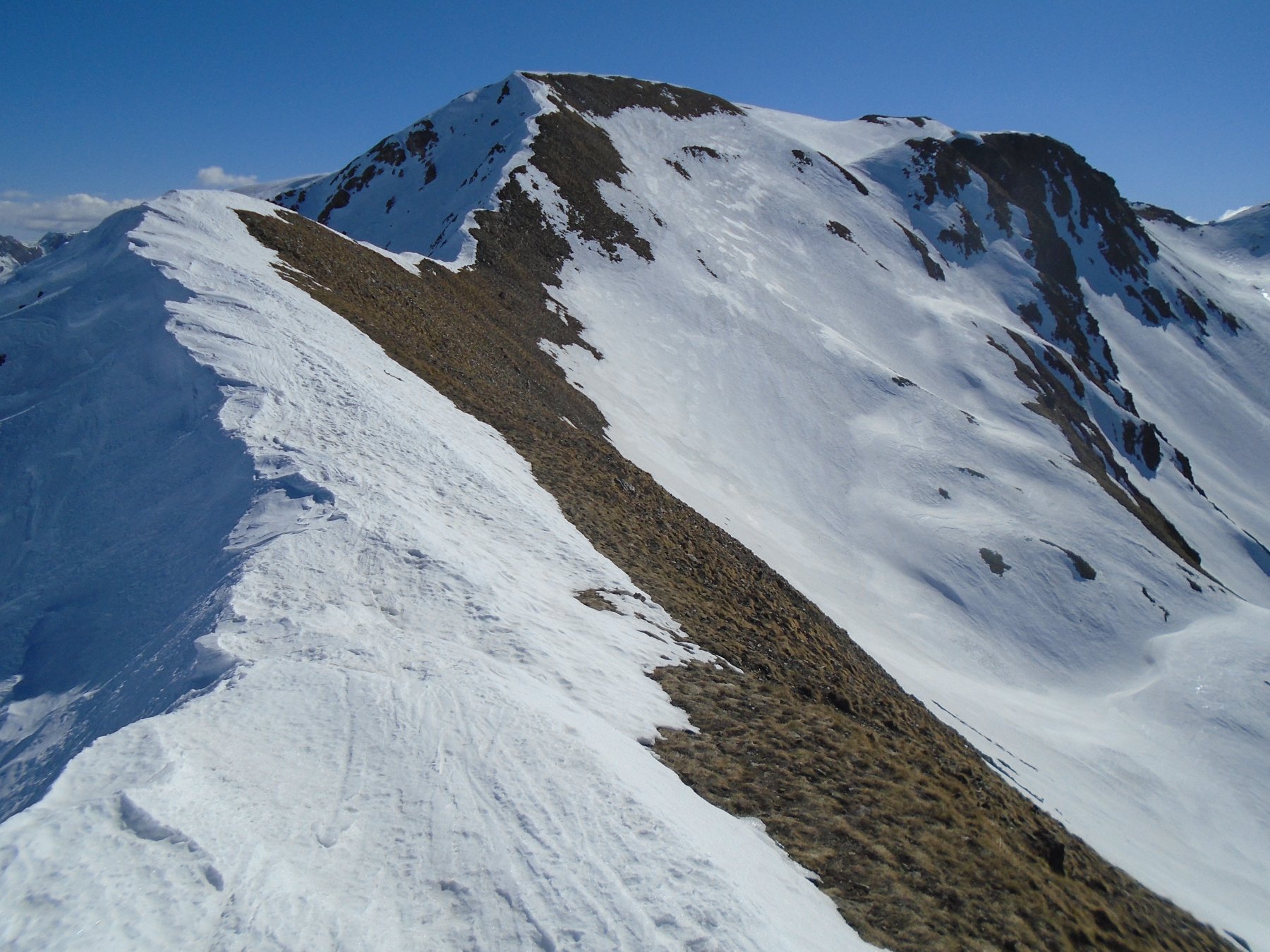
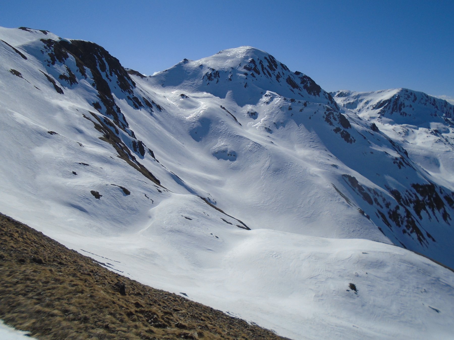
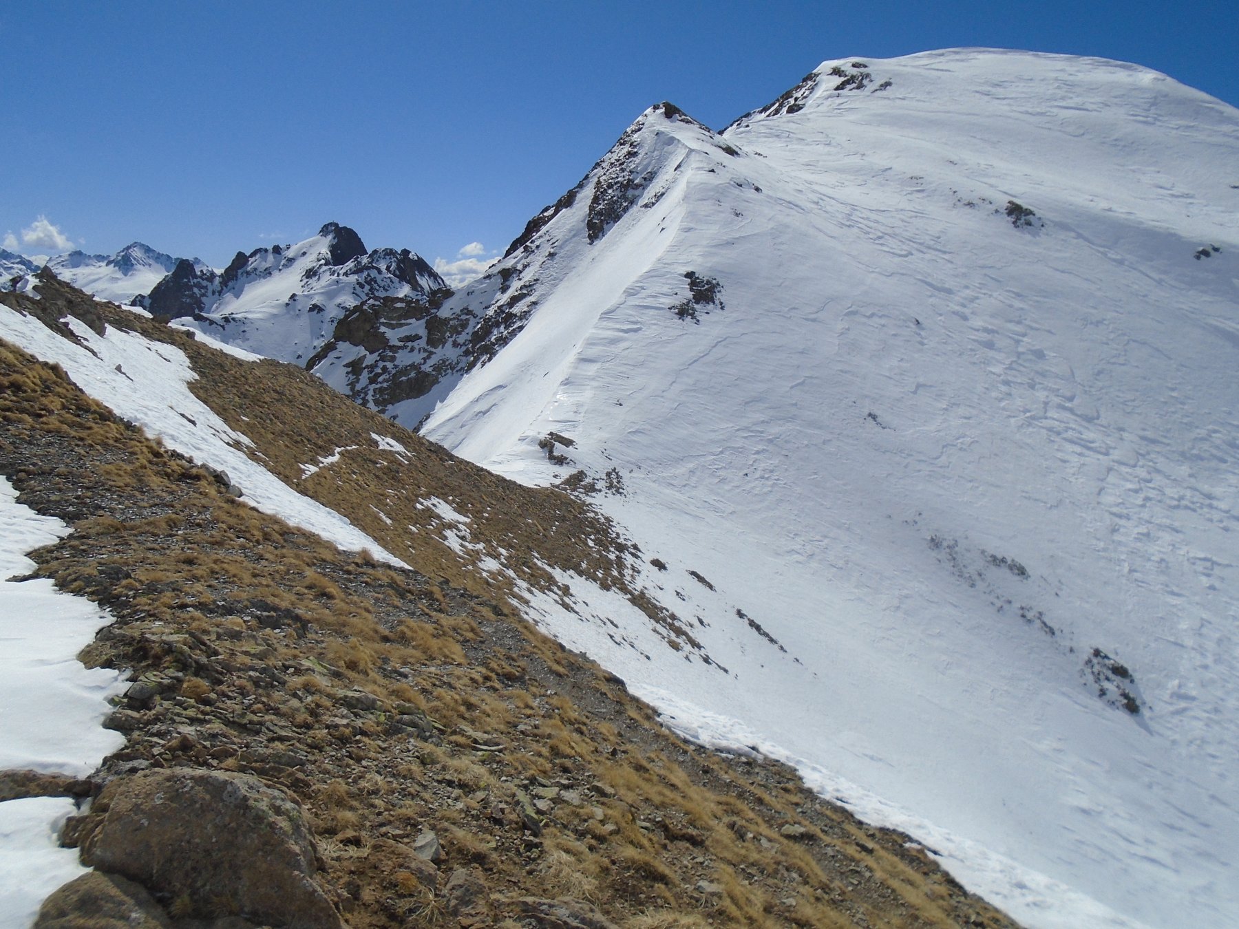
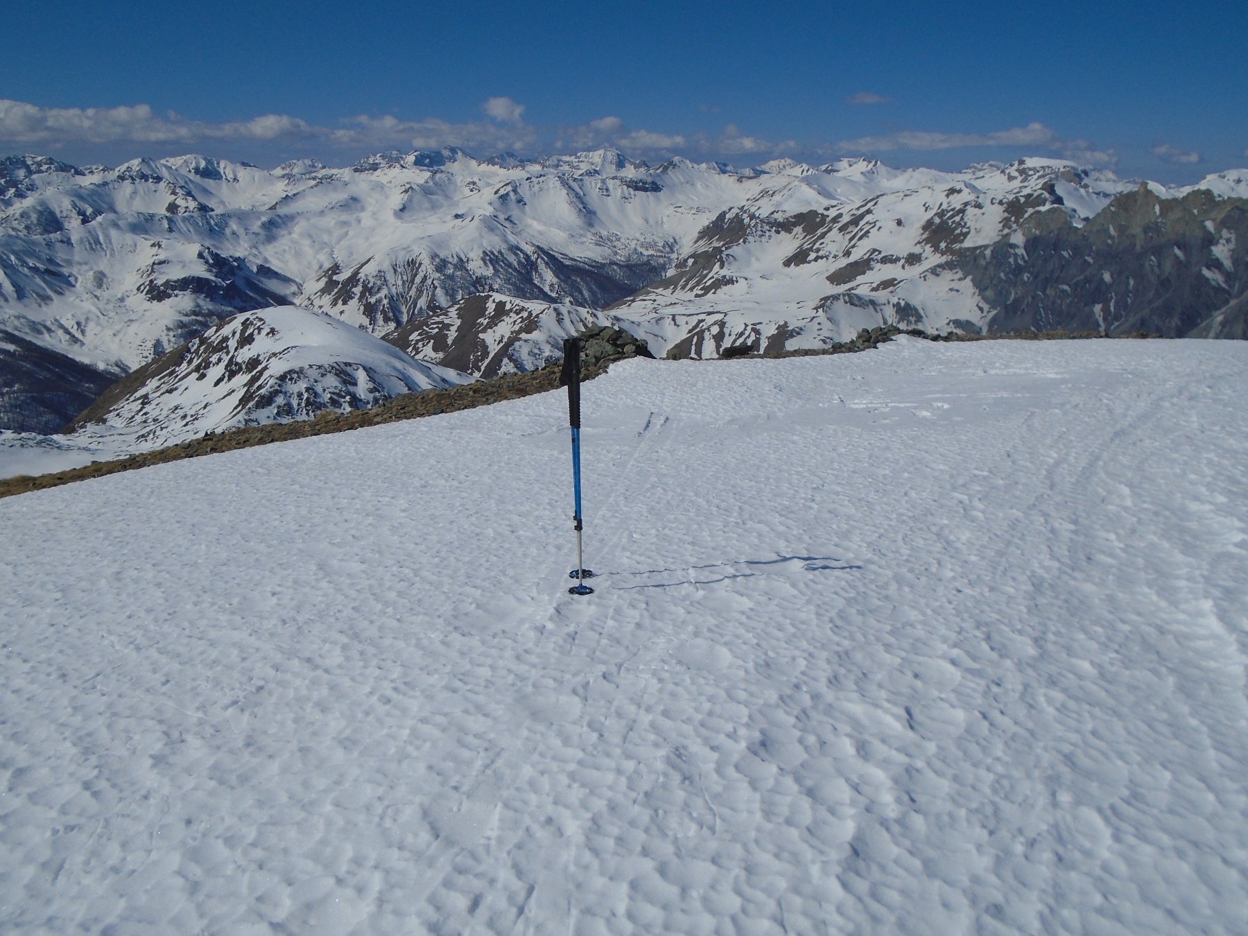
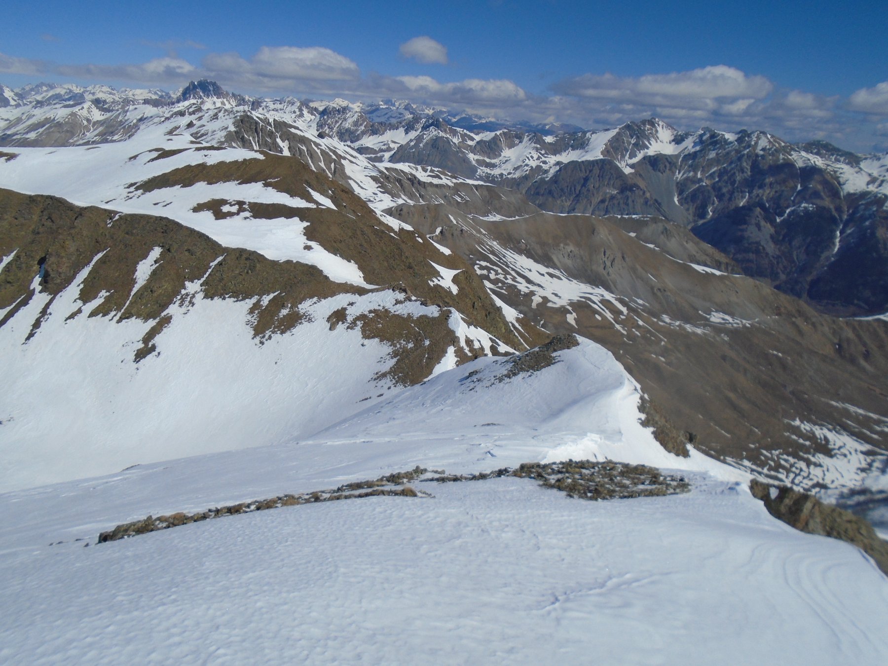
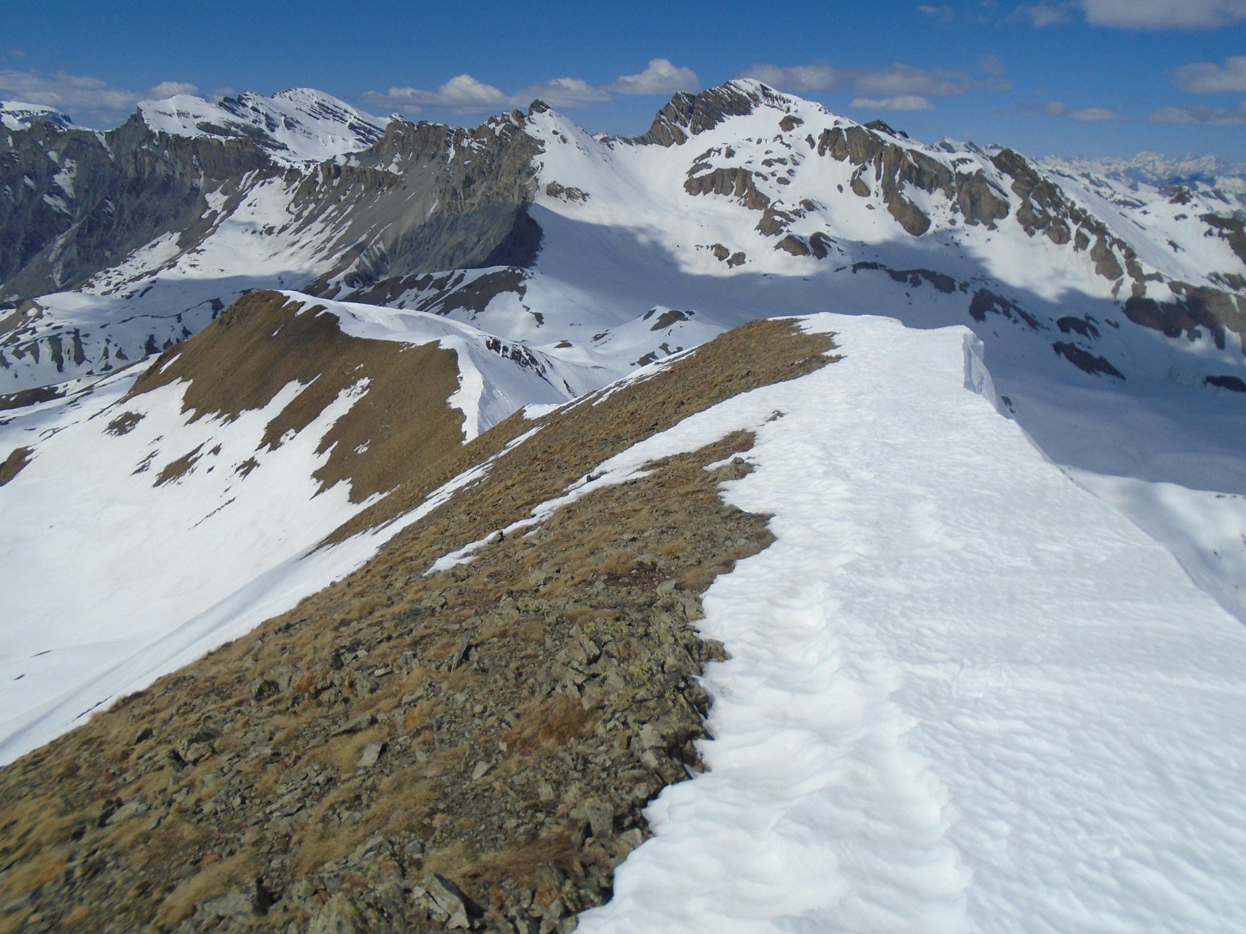
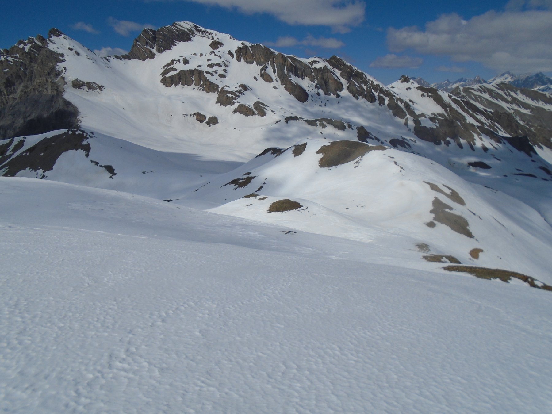
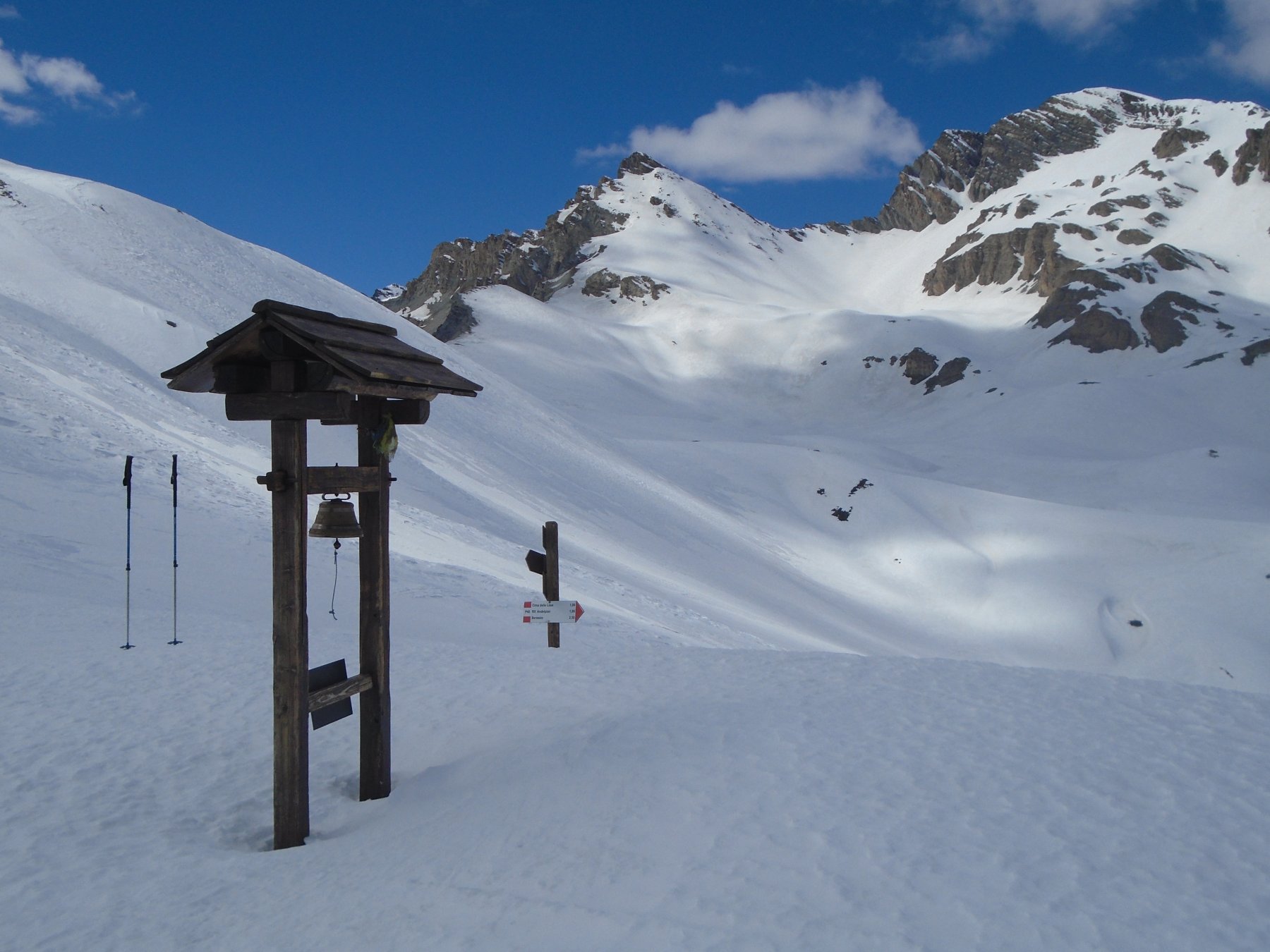
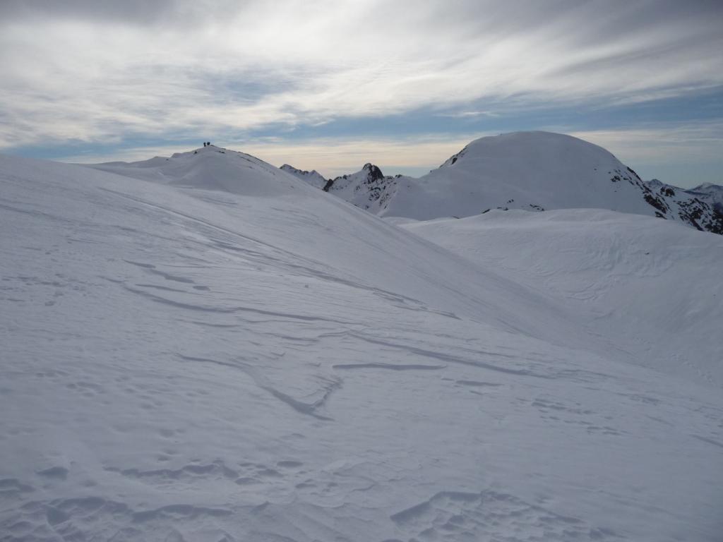
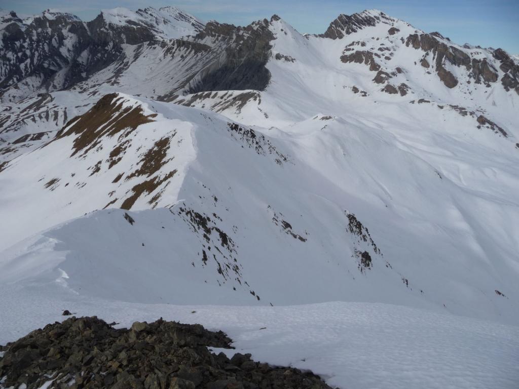
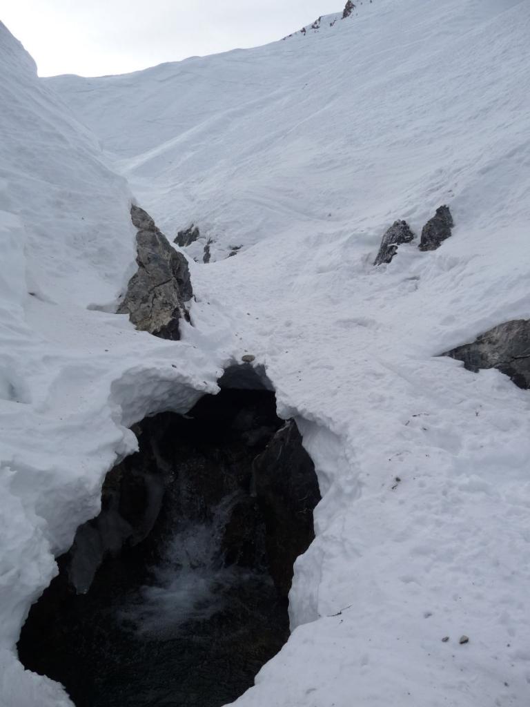
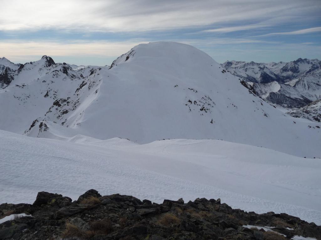
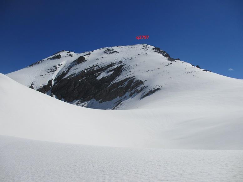
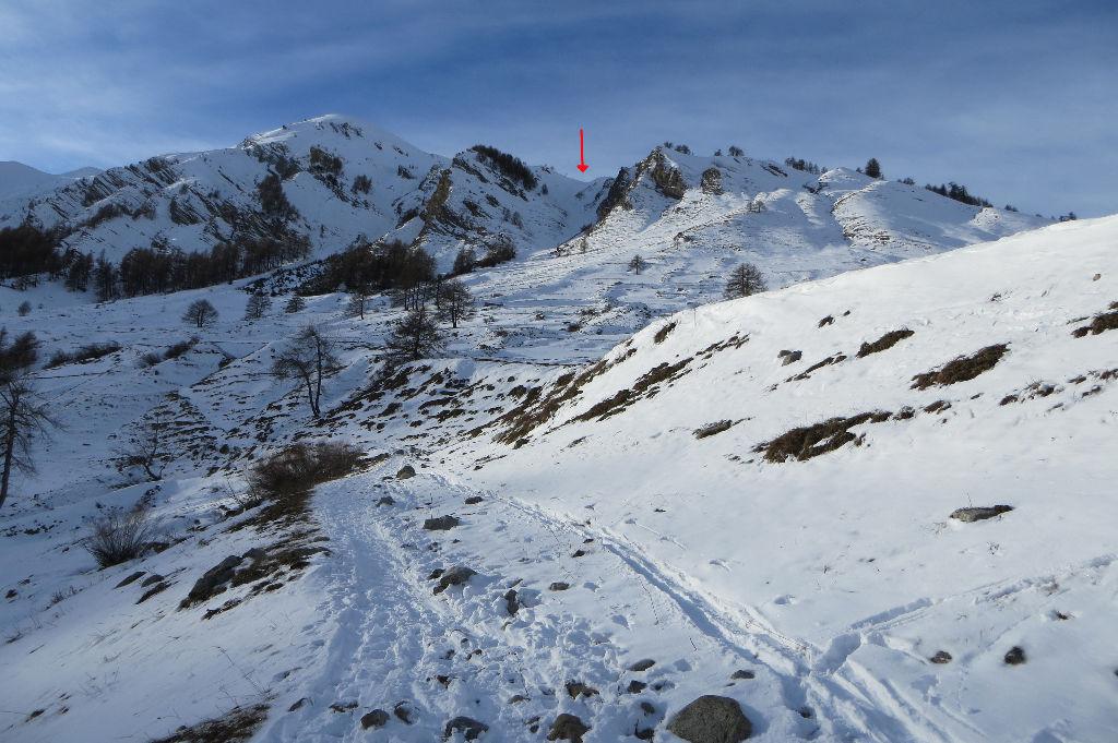
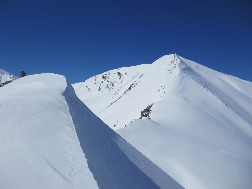
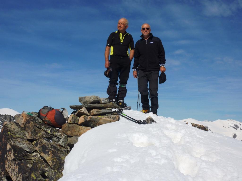
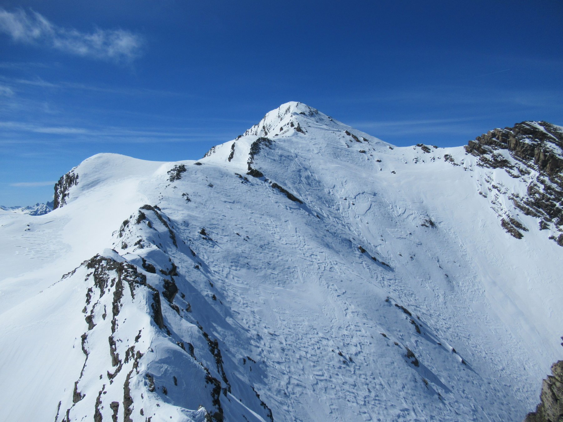
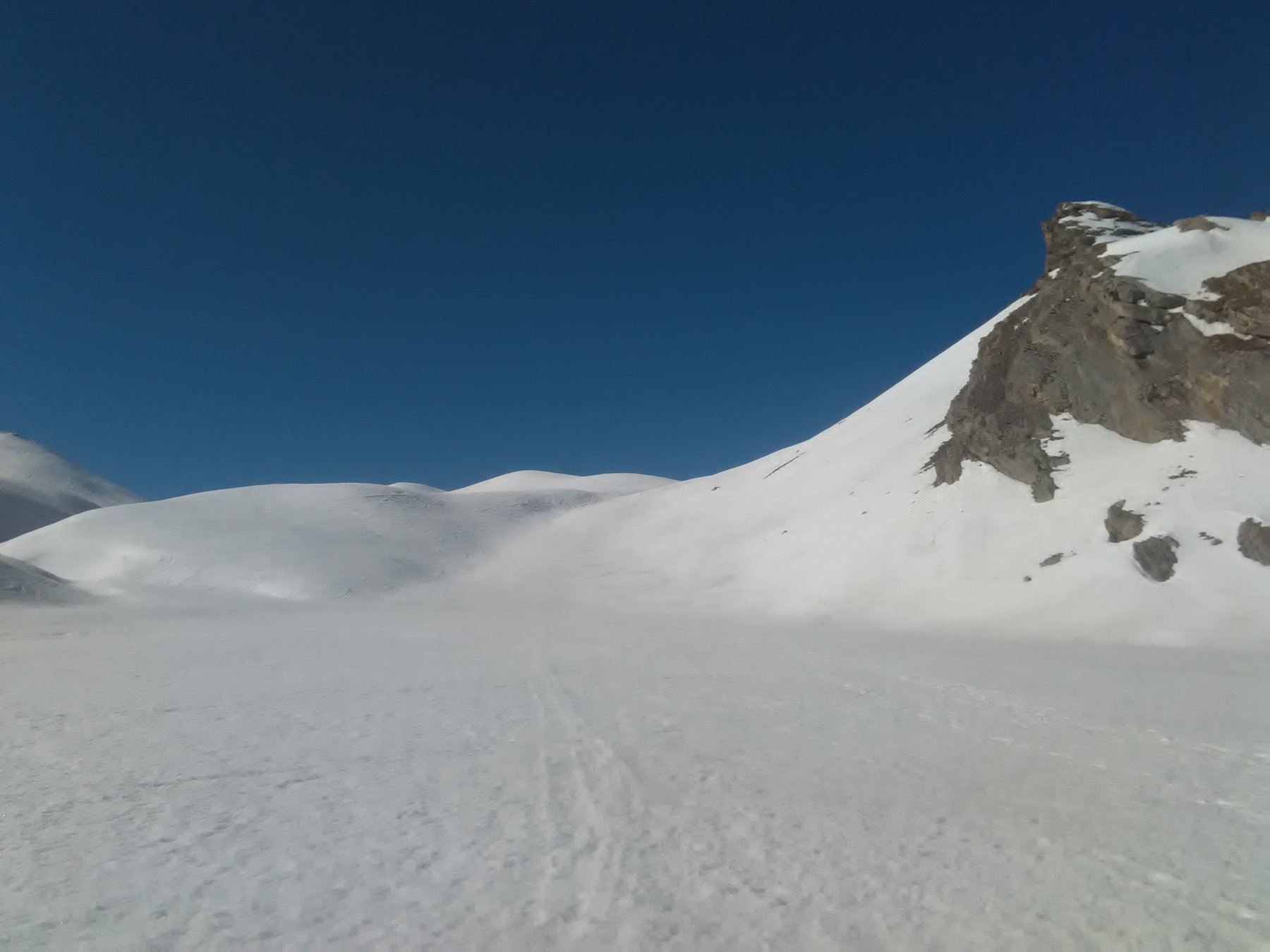
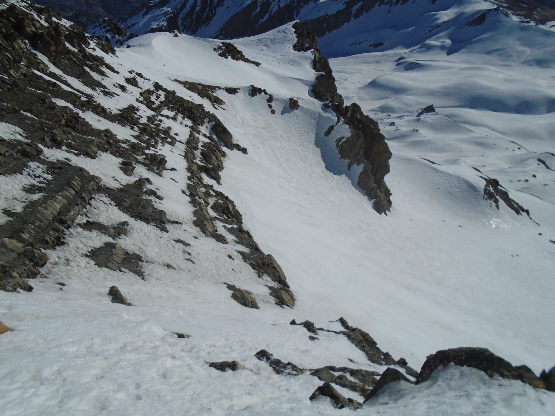
Dal tornante della SS21 del Colle della Maddalena seguire il tracciato di una sterrata che attraversa lo Stura e immettersi nel Vallone del Puriac. Si attraversa successivamente un ponticello di legno spostandosi così sulla sinistra orografica del vallone. Risalirlo completamente fino a quando a quota 2070 m si restringe a gola. Risalirne il fondo ponendo attenzione che sotto scorre acqua e dai lati possono cadere valanghe (In caso di scarso innevamento nella gola, dopo pochi metri dall’imbocco, risalire il ripido pendio sulla destra orografica -picca e ramponi- e percorrere il ripido traverso delicato ed esposto che corre parallelo alla gola). Risalire il fondo della gola fino a quota 2240, dove si divide. Risalire l’impluvio di sinistra e uscire sull’ampio anfiteatro che costeggia il lato occidentale della Cima delle Lose. Proseguire su morbidi pendii senza percorso obbligato fino alla Bassa di Colombart 2461 m. Volgere a destra (SO) e risalire la dorsale che divide il vallone del Puriac da quello di Ferrere, dapprima ripida (neve stabile) e, quasi al suo culmine, volgere a SE perdendo qualche metro di dislivello per raggiungere il percorso proveniente dal Colle di Puriac. Proseguire sull’ampia dorsale di confine fino a che questa si restringe a cresta (cornici). Procedere sul filo fino al suo termine sulla spianata sommitale, oppure, dopo il tratto pianeggiante, abbandonare la cresta, portarsi sul ripido pendio SO del Pe Brun con un lungo traverso verso destra e in breve si raggiunge la vetta 2797 m. Scendere lungo il lato opposto verso S in direzione del Passo Gorgia Grossa. Con un traverso, raggiungere la cresta N dell’Aiga e risalirla fino alla cima 2835 m (30 minuti da punta a punta).
Di ritorno dall’Aiga, si può evitare di risalire sul Pe Brun percorrendo la valletta sospesa che taglia il pendio SO sul lato francese, raggiungendo la cresta più in basso.
Variante di discesa: si può scendere dal colle del Puriac ricongiungendosi con il percorso che scende dal Tre Vescovi e Enchastraye. Questa variante può essere utilizzata anche in salita, offrendo un percorso più facile ma più lungo rispetto alla variante della Bassa del Colombart
- Cartografia:
- IGC 1:50000 n.7 Valli Maira Grana e Stura
Nelle vicinanze Mappa
Itinerari
24/03/2019 CN, Bersezio/Argentera D+ 1067 m BRA, F Varie
Lose (Cima delle) da Grange per il vallone del Puriac, spalla e cresta SO
 50m
50m
29/12/2014 CN, Bersezio/Argentera D+ 950 m BRA, F+ Varie
Ventasuso (Monte) da Grange, anello per Canale Est del Valejas
 50m
50m
06/04/2017 CN, Bersezio/Argentera D+ 950 m BRA, F Nord-Est
Ventasuso (Monte) da Grange per il Bec del Pui e la cresta Est
 50m
50m
08/05/2013 CN, Bersezio/Argentera D+ 1150 m BR Est
Pe de Jun (Testa) e Monte Ventasuso da Grange, anello per l’Enclausetta
 50m
50m
14/03/2019 CN, Bersezio/Argentera D+ 974 m BRA, PD- Est
Pe de Jun (Testa) da Grange per il Canale NE del Bail
 50m
50m
28/01/2024 CN, Bersezio/Argentera D+ 931 m BR Nord-Est
Enclausetta (l’) da Grange per il Passo di Goretta
 50m
50m
06/04/2017 CN, Bersezio/Argentera D+ 739 m BR, F Nord-Est
Pui (Bec del) da Grange
 50m
50m
23/11/2024 CN, Bersezio/Argentera D+ 1098 m BRA, F+ Varie
Tre Vescovi (Rocca) da Grange per il vallone del Puriac
 50m
50m
22/03/2019 CN, Bersezio/Argentera D+ 1186 m BRA, PD Sud-Est
Enchastraye (Monte) Diretta versante SE
 50m
50m
06/02/2024 CN, Bersezio/Argentera D+ 1186 m BR Sud-Est
Enchastraye (Monte) da Grange
 50m
50m
Servizi
1.4Km
4Km
Della Pace Rifugio
Bersezio/Argentera
5.3Km
da Mo Ristorante
Bersezio/Argentera
5.3Km
Bruno Ristorante
Bersezio/Argentera
7Km
B&b del Villaggio B&B
Bersezio/Argentera
7.8Km
Viviere Rifugio
Acceglio
9.1Km
La Tavernetta Ristorante
Acceglio
9.8Km
Ciarbonet cafè Ristorante
Acceglio
9.9Km
Chialvetta Rifugio
Acceglio
9.9Km