1.3Km
1.3Km

Note
 50m
1.7Km
1.7Km
1.7Km
1.7Km
1.7Km
1.7Km
1.7Km
1.7Km
1.7Km
50m
1.7Km
1.7Km
1.7Km
1.7Km
1.7Km
1.7Km
1.7Km
1.7Km
1.7Km
1.3Km
2.8Km
3.3Km
3.3Km
3.3Km
3.3Km
4.5Km
4.5Km
4.5Km
6.8Km
Itinerario in buona parte su strade sterrate.
Descrizione
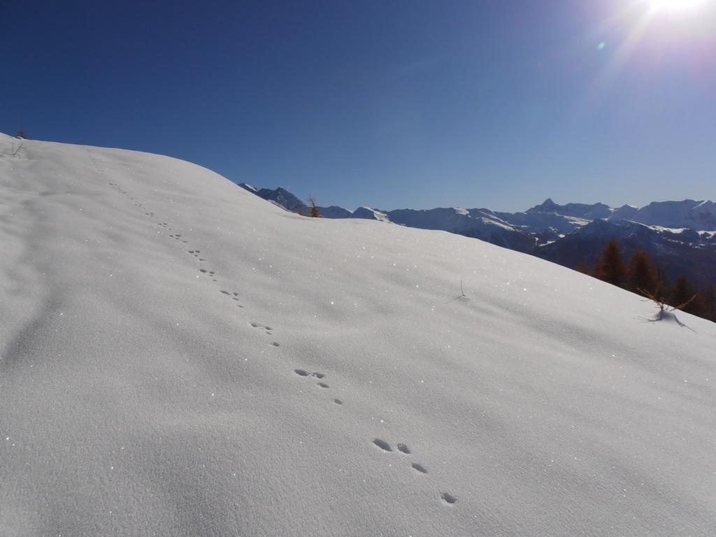
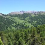
Dal centro paese di Champlas Seguin seguire la ripida stradina che sale in direzione Ovest, e successivamente Nord, fino ad arrivare ai ruderi del forte Champlas Seguin.
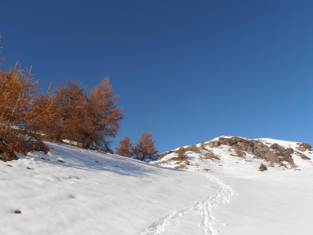
Da quì proseguire brevemente sulla cresta (Strada) fino a giungere in prossimità del bar “Chalmettes”. Da quì seguire la strada sul versante di Sansicario che dopo qualche bivio e tornante (Prendere come punto di riferimento l’evidente cima della Roccia Rotonda)porta all’arrivo di una seggiovia sotto la Roccia Rotonda.
Raggiungendo nuovamente la cresta della montagna si arriva alla fine di uno skilift dismesso (Quota 2290) e ci si trova sopra il Monte Rotta, facilmente raggiungibile scendendo sulla cresta della montagna.
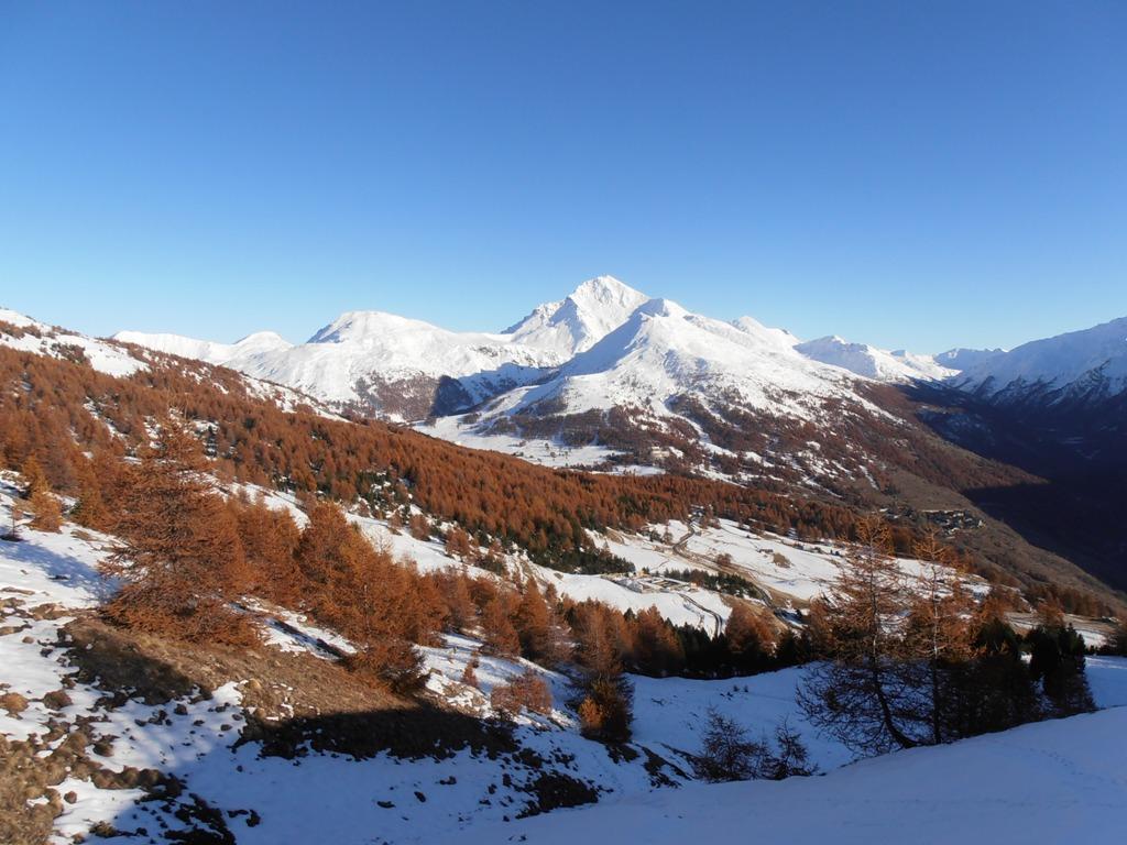
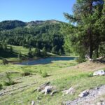
IL ritorno si può effettuare liberamente lungo la cresta, le numerose stradine/sentieri, oppure (Consigliato) portandosi sul versante del Sestriere percorrendo una strada pianeggiante asfaltata, per poi ridiscendere al bar Chalmettes e da quì a Champlas Seguin.
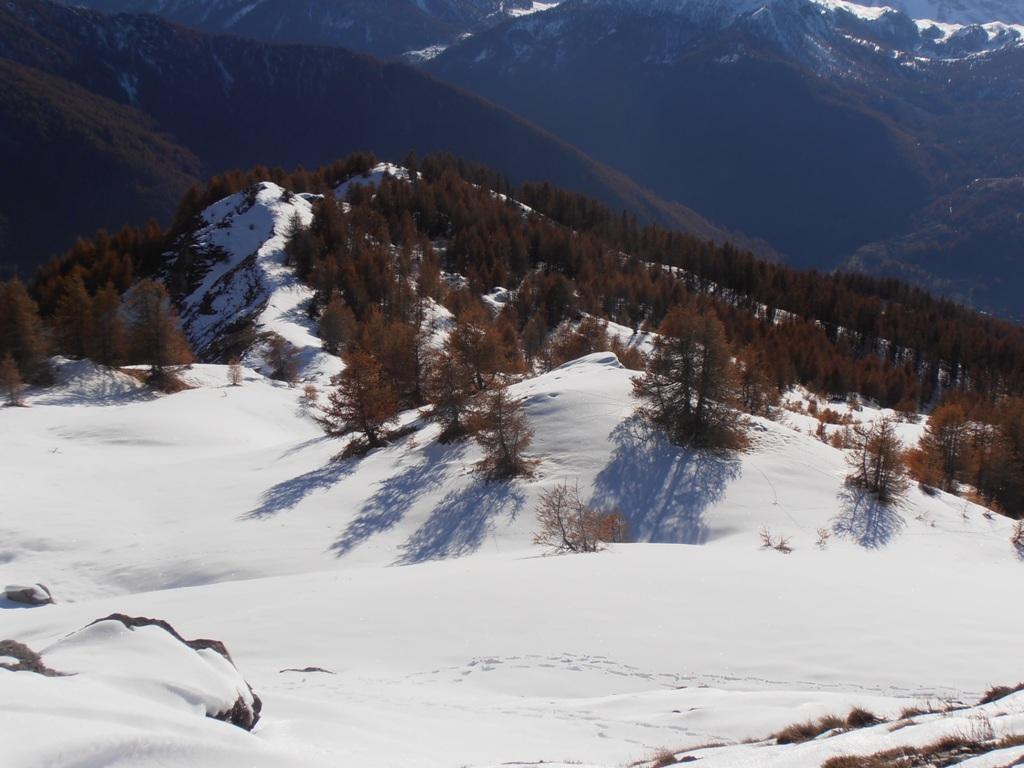
Altra variante di salita o discesa è seguire la lunga linea retta dello skilift dismesso che dal forte di Champlas Seguin porta sotto la Roccia Rotonda.
- Cartografia:
- Fraternali 1:25.000 n. 2 Alta Valle di Susa e Alta Val Chisone
Nelle vicinanze Mappa
Itinerari
02/06/2009 TO, Cesana Torinese D+ 925 m E Sud-Est
Fraiteve (Monte) da Champlas Seguin
 50m
50m
06/08/2025 TO, Cesana Torinese D+ 409 m E Varie
Saurel (Cima) dal Lago Nero
 1.7Km
1.7Km
29/07/2021 TO, Cesana Torinese D+ 831 m E Varie
Saurel (Lac) da Bousson per Capanna Mautino
 1.7Km
1.7Km
06/01/2026 TO, Cesana Torinese D+ 750 m E Varie
Capanna Mautino (Rifugio) al Lago Nero da Bousson per i Laghi Clot Foiron
 1.7Km
1.7Km
14/06/2025 TO, Cesana Torinese D+ 1050 m E Est
Gignoux (Lago) o dei Sette Colori da Bousson
 1.7Km
1.7Km
31/08/2024 TO, Cesana Torinese D+ 974 m E Nord-Est
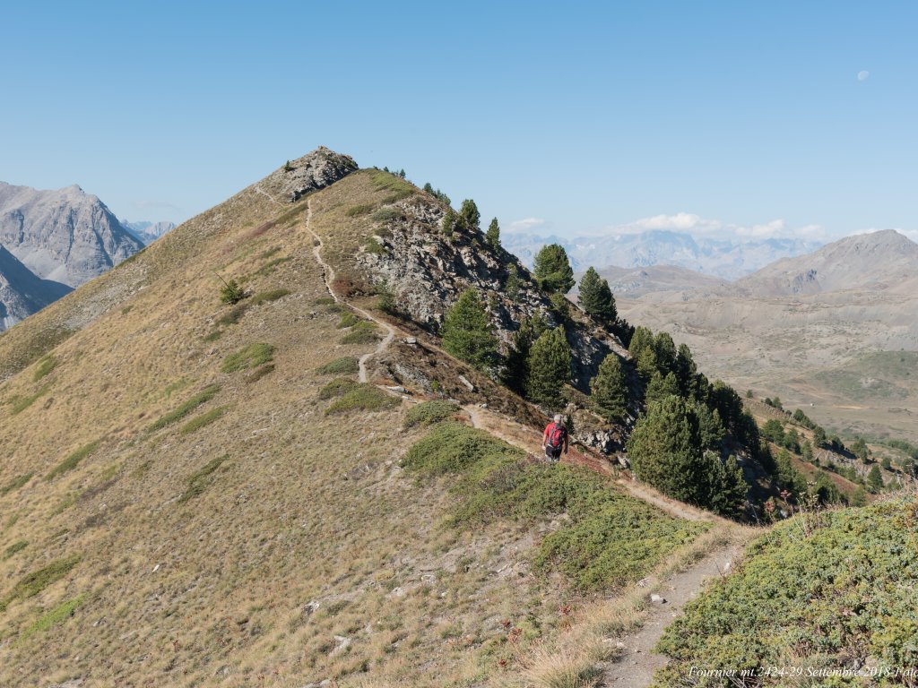
Fournier (Cima) da Bousson
 1.7Km
1.7Km
05/08/2025 TO, Cesana Torinese D+ 1000 m E Varie
Corbioun (Monte) da Bousson
 1.7Km
1.7Km
13/06/2026 TO, Cesana Torinese D+ 730 m E Varie
Brusà (Serra) da Bousson
 1.7Km
1.7Km
13/06/2026 TO, Cesana Torinese D+ 770 m E Varie
Carabinieri (Poggio dei) e Col Bousson da Bousson
 1.7Km
1.7Km
10/07/2026 TO, Cesana Torinese D+ 1200 m E Varie
Fournier (Cima) da Bousson, anello per Monte Corbioun, Colle Begino, Col Bousson, Lago Nero
 1.7Km
1.7Km
Servizi
1.3Km
2.8Km
La Fontana del Thures Rifugio
Cesana Torinese
3.3Km
L’Ibarus Rifugio
Cesana Torinese
3.3Km
Piergiorgio Frassati B&B
Cesana Torinese
3.3Km
Casa Cesana Bar
Cesana Torinese
3.3Km
Ottima Scelta Ristorante
Cesana Torinese
4.5Km
La Crota B&B
Cesana Torinese
4.5Km
da Carlo Rifugio
Cesana Torinese
4.5Km
La Tana degli Orsi B&B
Cesana Torinese
6.8Km