 6.4Km
6.4Km
Avvicinamento
 50m
50m
3.5Km
3.5Km
3.5Km
5.4Km
5.4Km
6.4Km
6.4Km
9.6Km
50m
50m
3.5Km
3.5Km
3.5Km
5.4Km
5.4Km
6.4Km
6.4Km
9.6Km
.
Descrizione
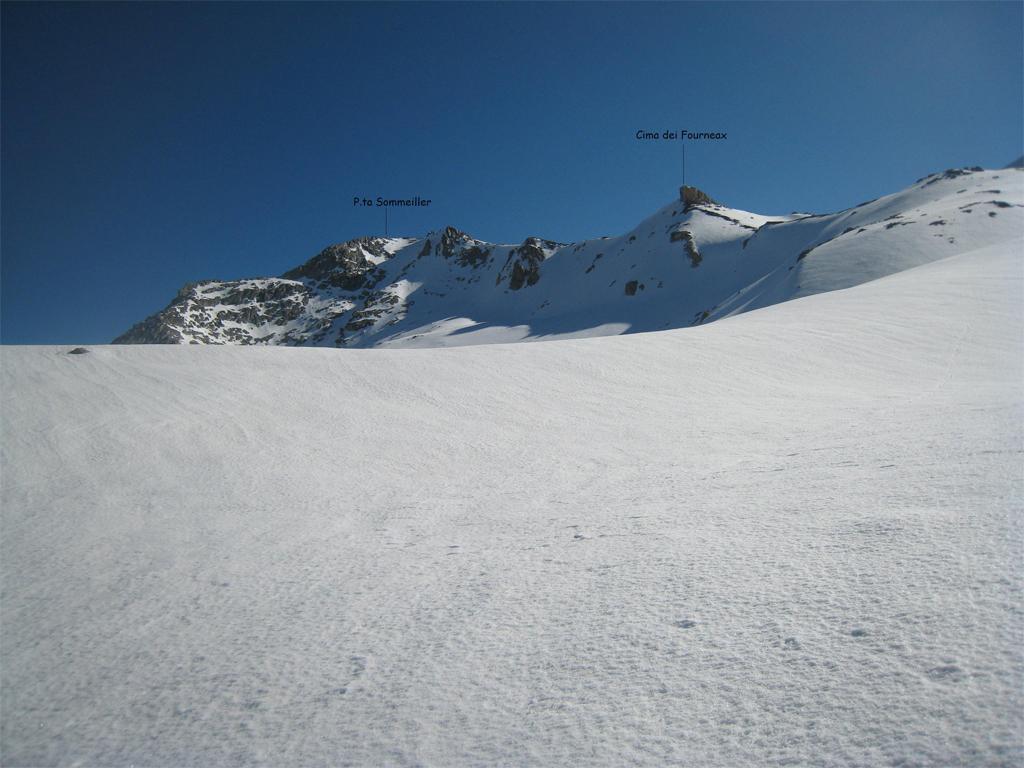
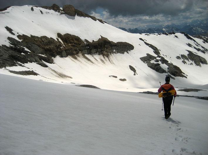
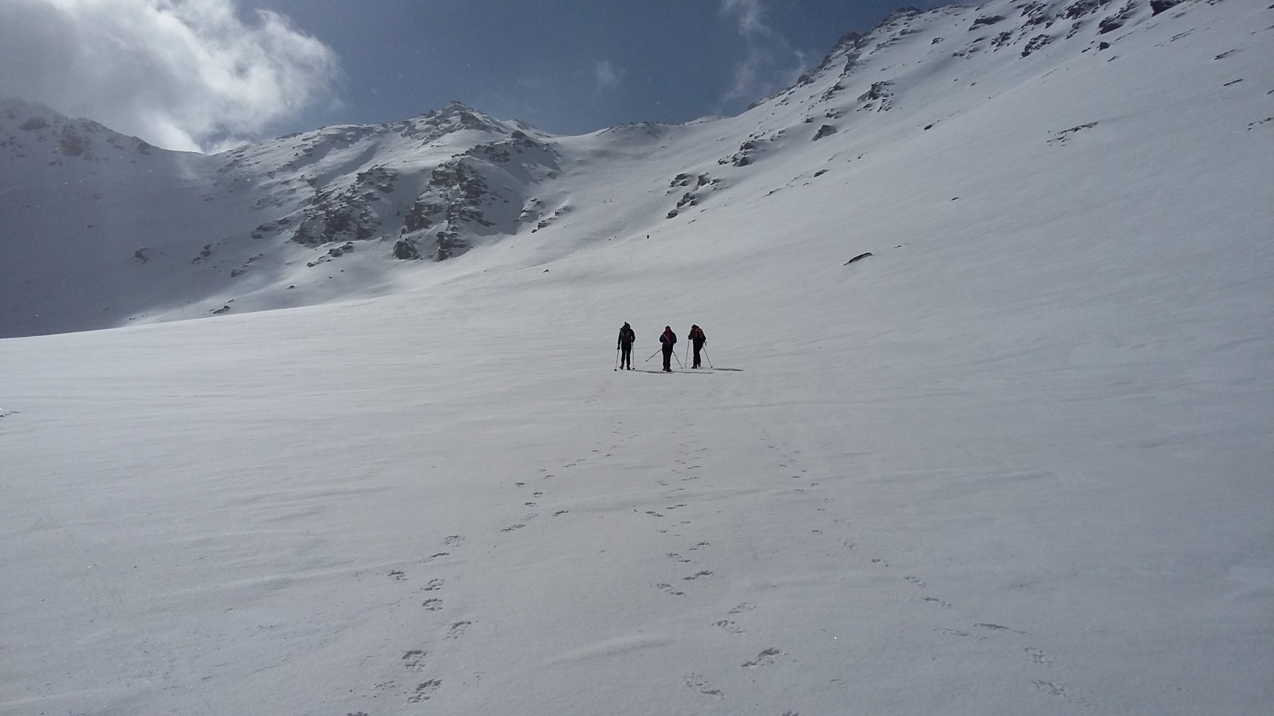
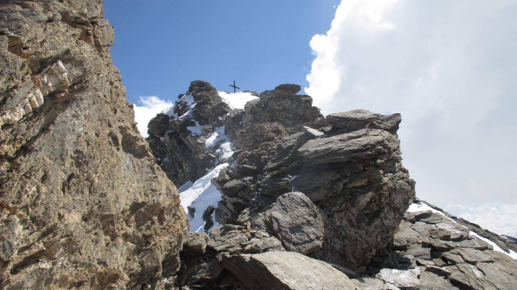
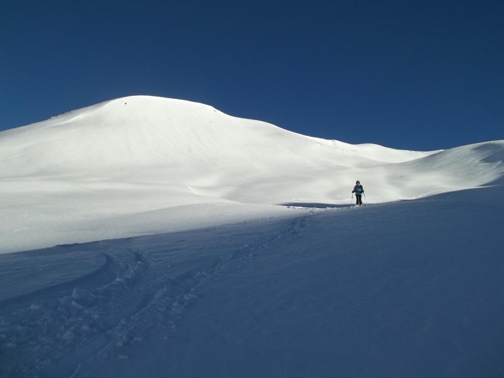
Da Rif. Scarfiotti si segue la strada (tagli su sentiero) fino al pianoro dopo i tornanti, da cui, se i pendii a destra hanno già scaricato, si lascia la strada per imboccare la valletta della Balma (salita) e poi con piccoli traversi e alternanza di falsopiani e salite, al passo dei Fourneax Settentrionale. A sx si va in 30′ alla P.ta Sommeiller, a dx per dorsale si sale in breve alla P.ta dei Fourneaux, poi si ridiscende al Passo centrale e poi in leggera salita al Passo meridionale e casermetta. Poi leggermente a sx si punta al colle Peirous o per dorsale poco accennata a sx del colle, e poi per dorsale poco inclinata in vetta (occhio alle cornici verso la Val di Susa). Si può velocemente tornare al colle Peirus e per dorsale alla cima del Vallonetto (anticima invernale, di poco più bassa della cima vera, da cui è separata da breve ma esposta cresta rocciosa che richiede capacità alpinistiche con neve).
- Cartografia:
- Fraternali 1:25.000 n.1 Alta Valle di Susa
Nelle vicinanze Mappa
Itinerari
01/06/2024 TO, Bardonecchia D+ 1200 m BR Varie
Sommeiller (Punta) dal Rifugio Scarfiotti per la Cima dei Fourneaux
 50m
50m
18/06/2009 TO, Bardonecchia D+ 1042 m BR Varie
Fourneaux (Cima dei) dal Rifugio Scarfiotti
 50m
50m
13/04/2019 TO, Bardonecchia D+ 1003 m BR Nord-Ovest
Coin (Testa del) dal Ponte di Almiane
 3.5Km
3.5Km
26/04/2026 TO, Bardonecchia D+ 1050 m BR Ovest
Almiane (Punta d’) dal Ponte d’Almiane
 3.5Km
3.5Km
04/05/2019 TO, Bardonecchia D+ 1050 m BRA, F Nord-Ovest
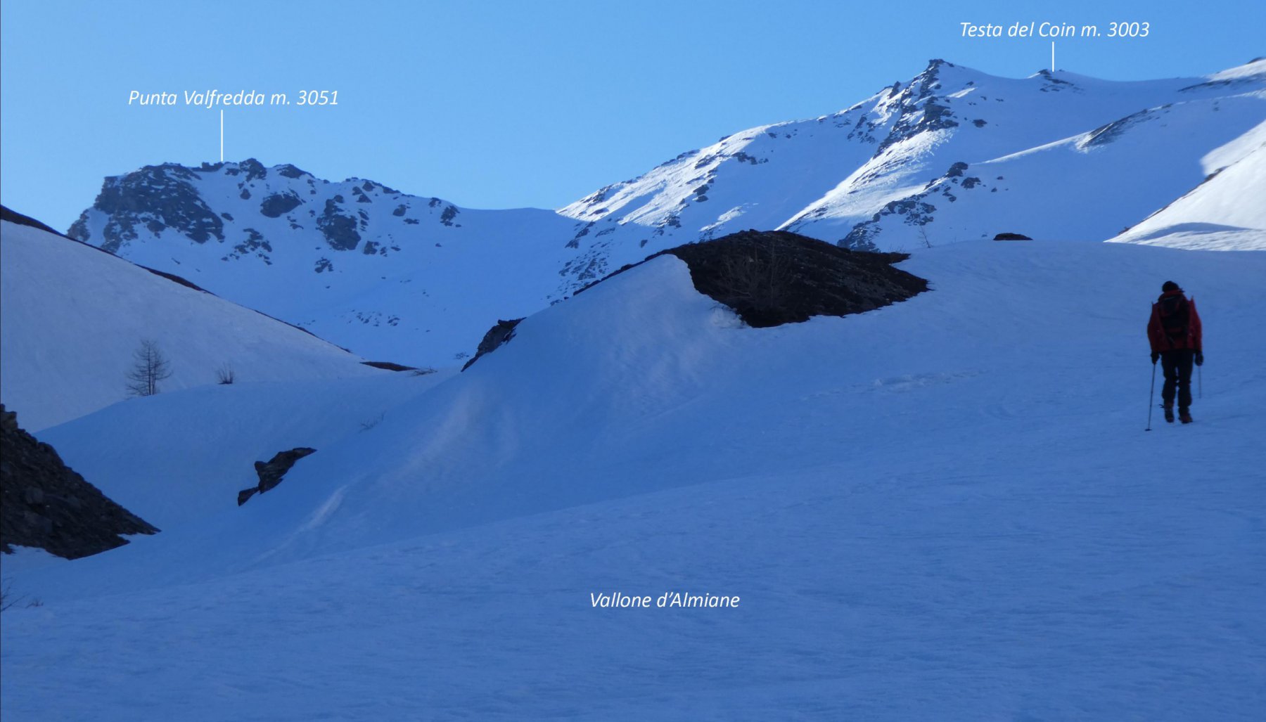
Valfredda (Punta) e Testa del Coin dal Ponte d’Almiane
 3.5Km
3.5Km
14/12/2014 TO, Bardonecchia D+ 1180 m BRA, F Varie
Coin (Testa del) da Grange Mouchequite, anello per Valfredda e Vallone di Almiane
 5.4Km
5.4Km
09/04/2017 TO, Bardonecchia D+ 1202 m OR Ovest
Pierre Muret (Tete) da Grange Mouchecuite
 5.4Km
5.4Km
25/11/2018 TO, Bardonecchia D+ 510 m MR Nord
Scarfiotti Camillo (Rifugio) da Rochemolles
 6.4Km
6.4Km
20/02/2022 TO, Bardonecchia D+ 1240 m MR Ovest
Becco (Costa del) da Rochemolles
 6.4Km
6.4Km
07/12/2014 TO, Bardonecchia D+ 1200 m MR Varie
Jafferau (Monte) e Monte Vin Vert da Bacini Frejusia, traversata con discesa per la Valfredda
 9.6Km
9.6Km
