100m
100m
Note
 0m
50m
50m
50m
50m
50m
50m
50m
50m
50m
0m
50m
50m
50m
50m
50m
50m
50m
50m
50m
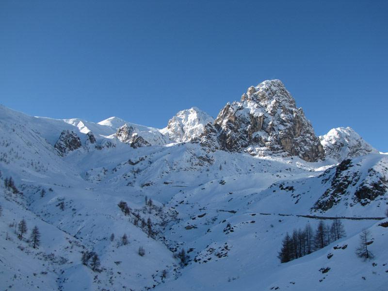
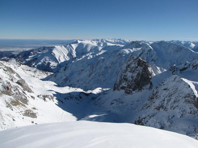
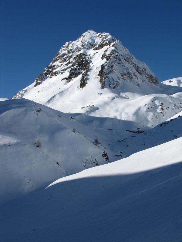
Posta al centro del vallone di Fauniera, in alta Val Grana, distaccata di alcune centinaia di metri dalla dorsale Maira-Grana, la Rocca Negra presenta verso sud e est ripide pareti rocciose, ma la cresta ovest consente di arrivare agevolmente a pochi metri dalla cima rocciosa, autentico belvedere sull'alta Val Grana.
Gita con poco dislivello, ma buon sviluppo (ca. 14 km AR).
Avvicinamento
Gita con poco dislivello, ma buon sviluppo (ca. 14 km AR).
.
Descrizione
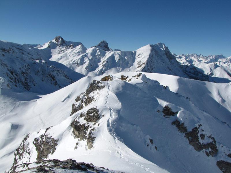
Dal Santuario di Castelmagno si segue la strada per i colli Esischie/Fauniera (possibili scorciatoie). Giunti nei pressi del colle d’Esischie, piegare a NE e risalire un valloncello che porta ad una sella fra la cresta Maira-Grana e la cima. Piegare a dx e raggiungere l’anticima. Fra questa a la cima vera, poche decine di metri più a est, segue un tratto roccioso apparentemente piuttosto affilato, che con adeguato innevamento può però essere superato racchette ai piedi.
Nelle vicinanze Mappa
Itinerari
10/02/2013 CN, Castelmagno D+ 825 m BR Varie
Pelvo (Monte) dal Santuario di San Magno per il Colle d’Esischie
 0m
0m
12/01/2013 CN, Castelmagno D+ 792 m BR Est
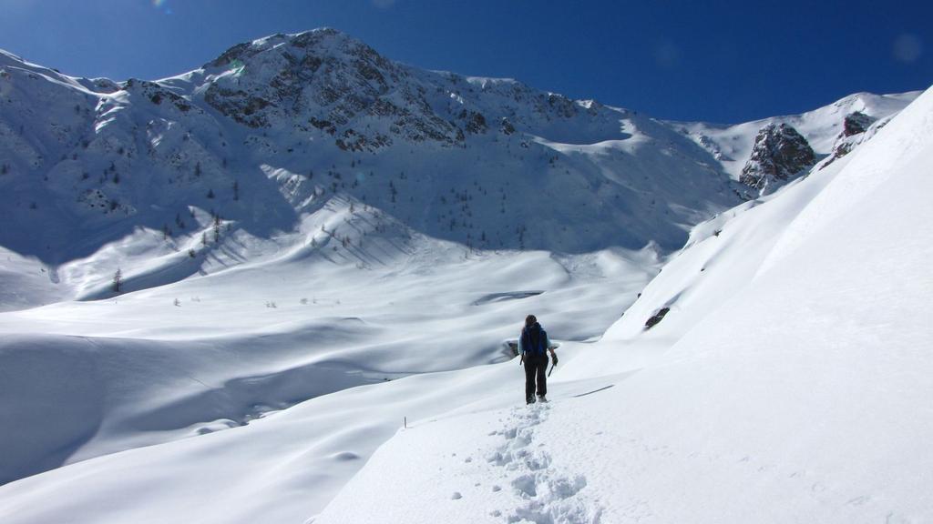
Ciarmetta (Rocce) dal Santuario di San Magno per il Colle del Vallonetto
 50m
50m
19/12/2021 CN, Castelmagno D+ 900 m MR Varie
Sibolet (Punta) dal Santuario di San Magno, anello valloni della Miniera e Sibolet
 50m
50m
11/02/2021 CN, Castelmagno D+ 434 m MR Sud
Crosetta (Monte) dal Santuario di San Magno
 50m
50m
19/01/2024 CN, Castelmagno D+ 918 m BR Sud-Est
Tempesta (Punta) dal Santuario di San Magno per il Colle Intersile
 50m
50m
19/12/2021 CN, Castelmagno D+ 1261 m BR Sud-Ovest
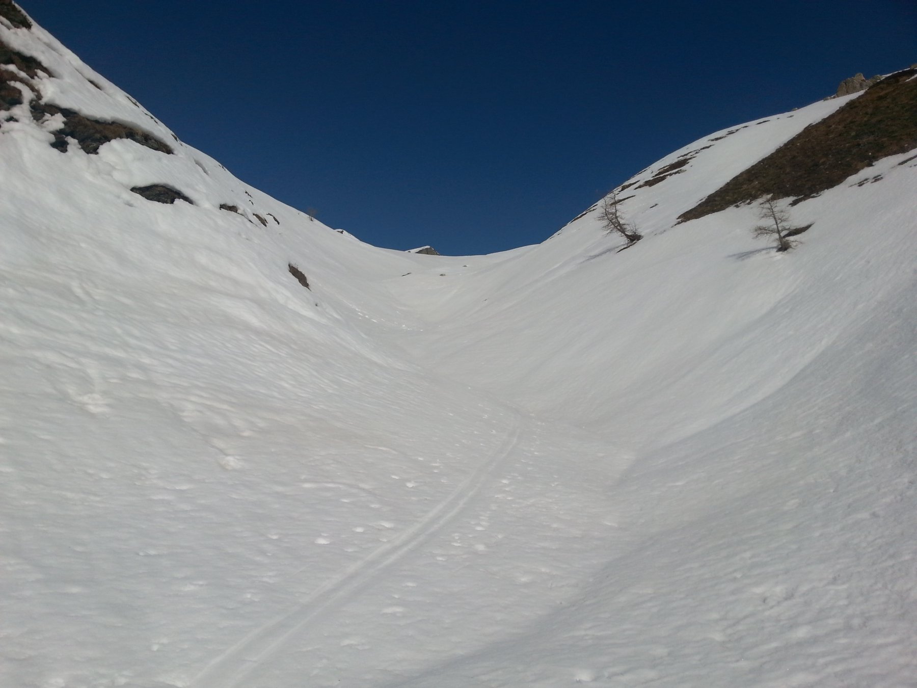
Tibert (Monte), Punta Sibolet, Punta Tempesta dal Santuario di San Magno, anello
 50m
50m
23/12/2020 CN, Castelmagno D+ 633 m MRA Nord-Est
Parvo (Rocca) dal Santuario di San Magno
 50m
50m
16/02/2019 CN, Castelmagno D+ 850 m MR Varie
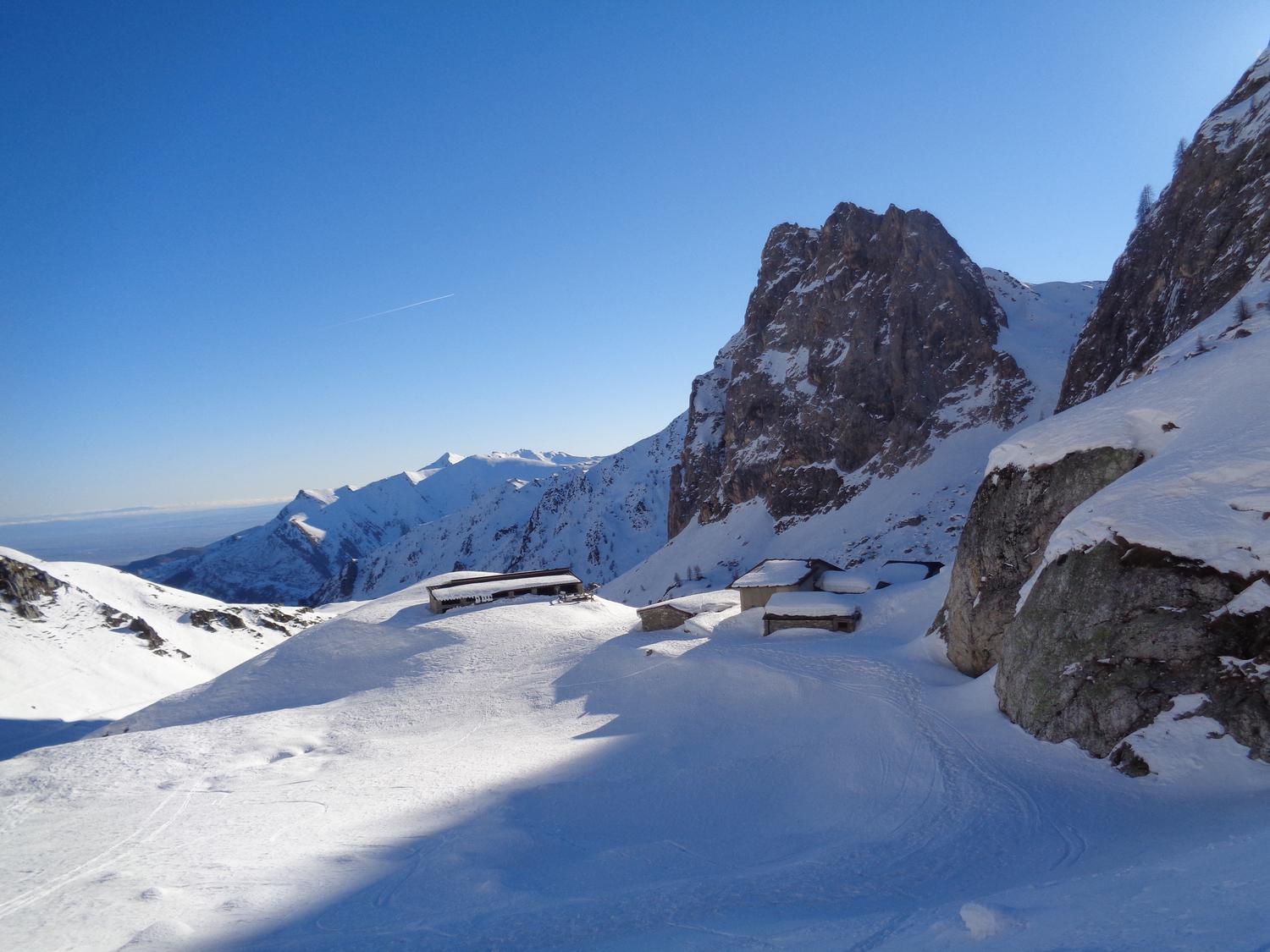
Pelvo (Monte) e Punta Sibolet dal Santuario San Magno per il Colle Esischie, discesa Vallone della Miniera
 50m
50m
16/03/2025 CN, Castelmagno D+ 750 m MR Est
Esischie (Colle d’) dal Santuario di San Magno
 50m
50m
27/02/2025 CN, Castelmagno D+ 785 m BR Est
Fauniera (Cima e Colle) dal Santuario di San Magno
 50m
50m