2.8Km
2.8Km
Avvicinamento
 50m
50m
50m
50m
50m
50m
500m
500m
500m
500m
50m
50m
50m
50m
50m
50m
500m
500m
500m
500m
2.8Km
5.4Km
5.4Km
5.4Km
5.4Km
6Km
8.1Km
8.3Km
8.9Km
partenza seggiovia Montquitaine
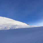
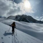
Descrizione
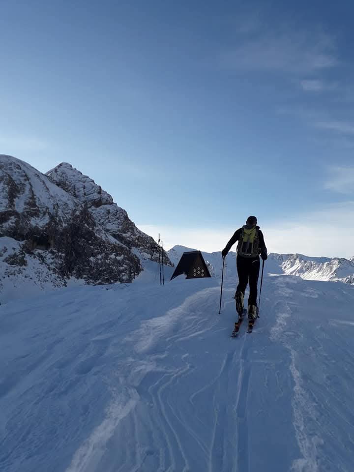
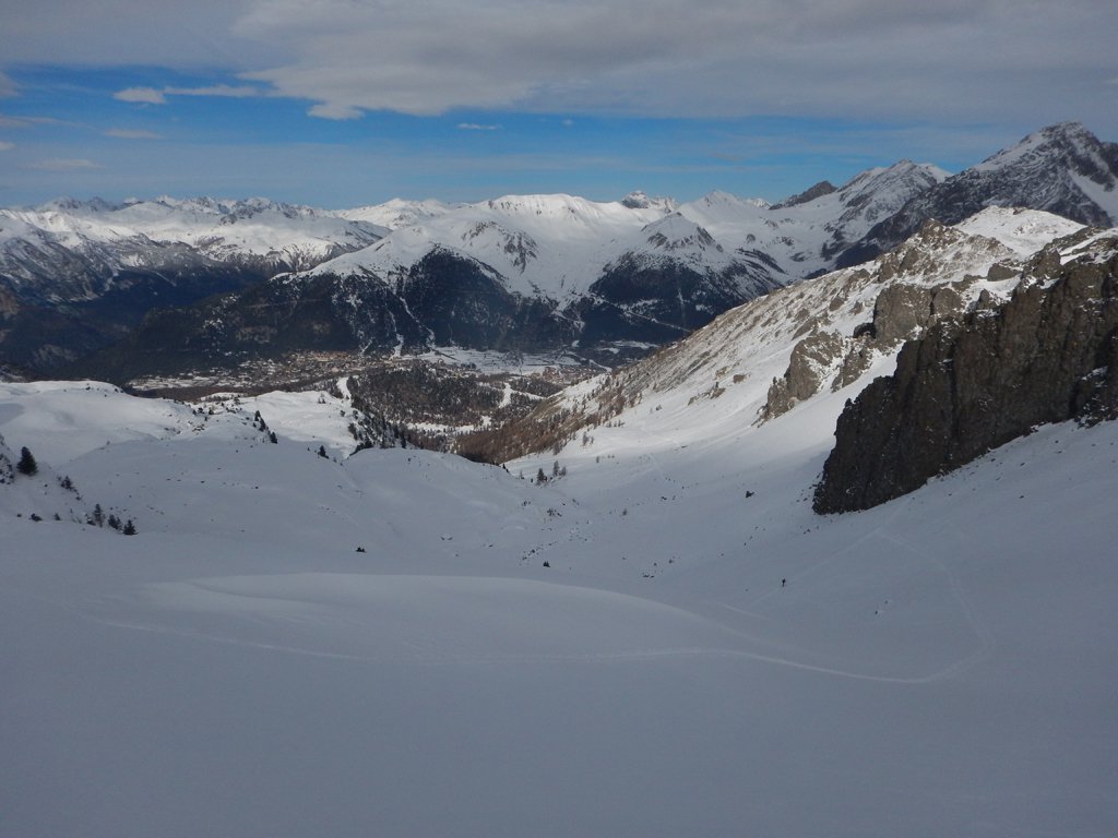
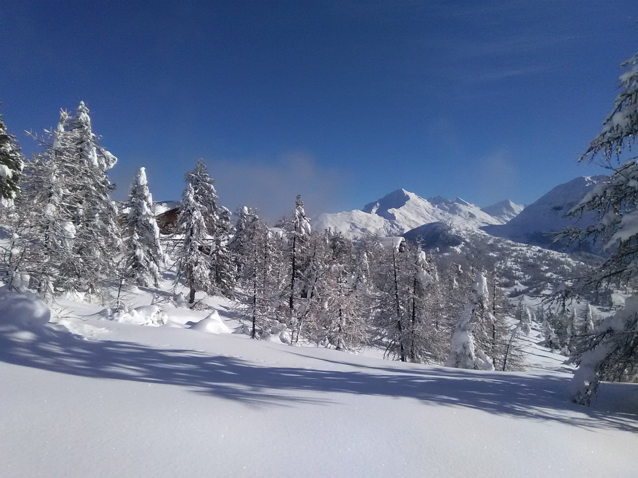
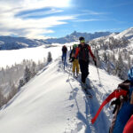
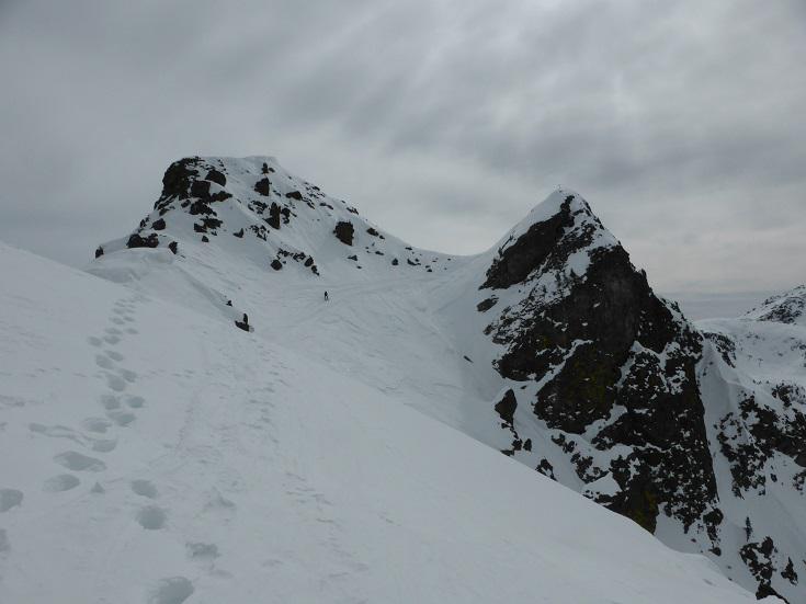
Come per il Col des tres freres mineurs, da Claviere e dalla partenza della seggiovia Mont Quitaine risalire il vallone del Rio Secco A 2100 circa anzichè dirigersi a dx verso il colle dello Chaberton proseguire in direzione NNO, e risalire la pista della seggiovia dei Rochers Rouge, fino al Col de l’Alpet (2430).
Discesa sull’itinerario di salita, volendo si può rimanere sulla pista degli impianti e ritornare tranquillamente alla partenza.
Nelle vicinanze Mappa
Itinerari
18/04/2026 TO, Claviere D+ 1226 m MS Nord
Trois Freres Mineurs (Col des) da Claviere, traversata a Bardonecchia per il Col des Acles
 50m
50m
10/04/2026 TO, Claviere D+ 846 m MS Nord-Ovest
Gimont (Mont) o Grand Charvia da Claviere per la Valle dei Mandarini
 50m
50m
27/03/2025 TO, Claviere D+ 700 m MS Nord-Ovest
Verde (Colletto) da Claviere per la Valle dei Mandarini (Valle de la Doire)
 50m
50m
08/12/2025 TO, Claviere D+ 900 m MS Nord-Ovest
Gimont (Mont) o Grand Charvia da Claviere per la Val Gimont
 50m
50m
16/03/2025 TO, Claviere D+ 633 m BS Sud-Ovest
Plane (Monte la) da Claviere
 50m
50m
08/03/2026 TO, Claviere D+ 2030 m OSA Tutte
Chalance Ronde (Pointe de) da Claviere, giro per Col des Trois Freres Mineurs, versante nord, Vallon de l’Opon
 50m
50m
10/02/2024 TO, Claviere D+ 600 m MS Varie
Saurel (Col) da Claviere per il Colle Bercia
 500m
500m
18/04/2026 TO, Claviere D+ 525 m MS Nord-Ovest
Bercia (Colle) da Claviere
 500m
500m
19/12/2020 TO, Claviere D+ 598 m BS Nord-Ovest
Rascià (Punta) da Claviere
 500m
500m
17/01/2025 TO, Claviere D+ 796 m BS Est
Plane (Monte la) da Claviere per il versante Est e Cresta NE
 500m
500m
Servizi
2.8Km
5.4Km
Casa Cesana Bar
Cesana Torinese
5.4Km
L’Ibarus Rifugio
Cesana Torinese
5.4Km
Piergiorgio Frassati B&B
Cesana Torinese
5.4Km
Ottima Scelta Ristorante
Cesana Torinese
6Km
La vachette Bar
Montgenèvre
8.1Km
Terre Rouge Rifugio
Cervières
8.3Km
Centro Ristorante
Cesana Torinese
8.9Km