850m
850m
Note
 50m
50m
1Km
1Km
2.7Km
3.7Km
3.7Km
4.8Km
5.9Km
6.8Km
50m
50m
1Km
1Km
2.7Km
3.7Km
3.7Km
4.8Km
5.9Km
6.8Km
850m
1.9Km
1.9Km
2Km
2.6Km
4.5Km
5Km
6.6Km
7Km
7.2Km
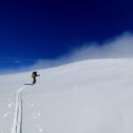
Gita abbastanza diretta e piu' bella rispetto all'itinerario da Morinesio.
Avvicinamento
Risalendo la strada principale della val Maira voltare a destra all'altezza di Stroppo e seguire le indicazioni per Elva e Cucchiales. Poche possibilita' di parcheggio a Cucchiales.
Descrizione
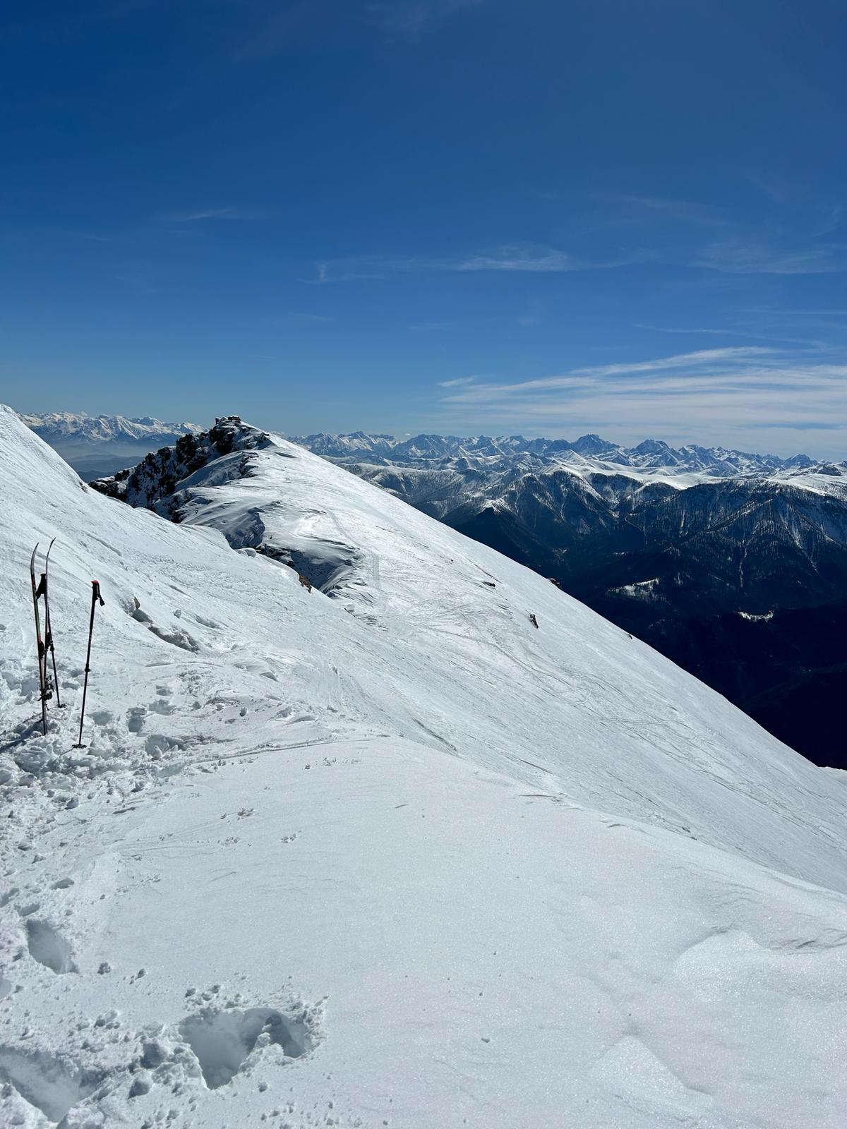
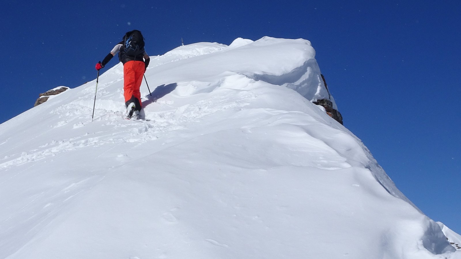
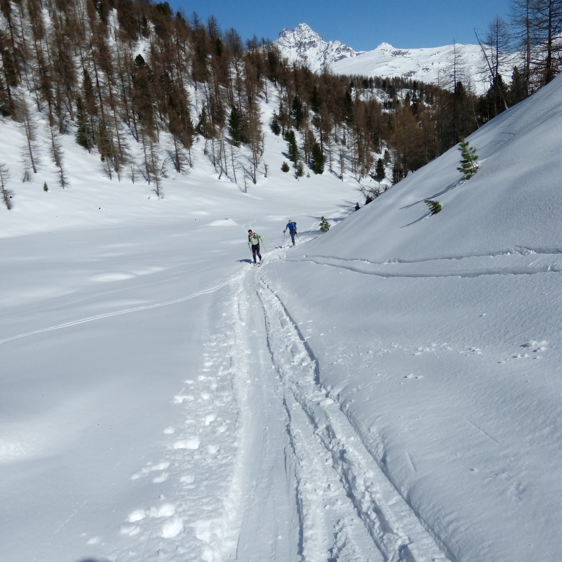
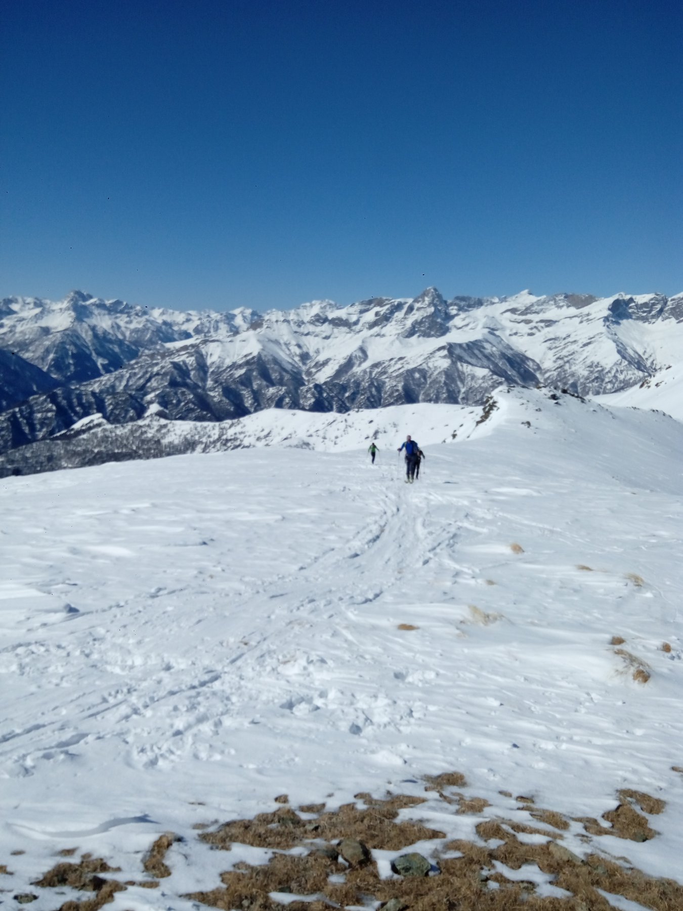
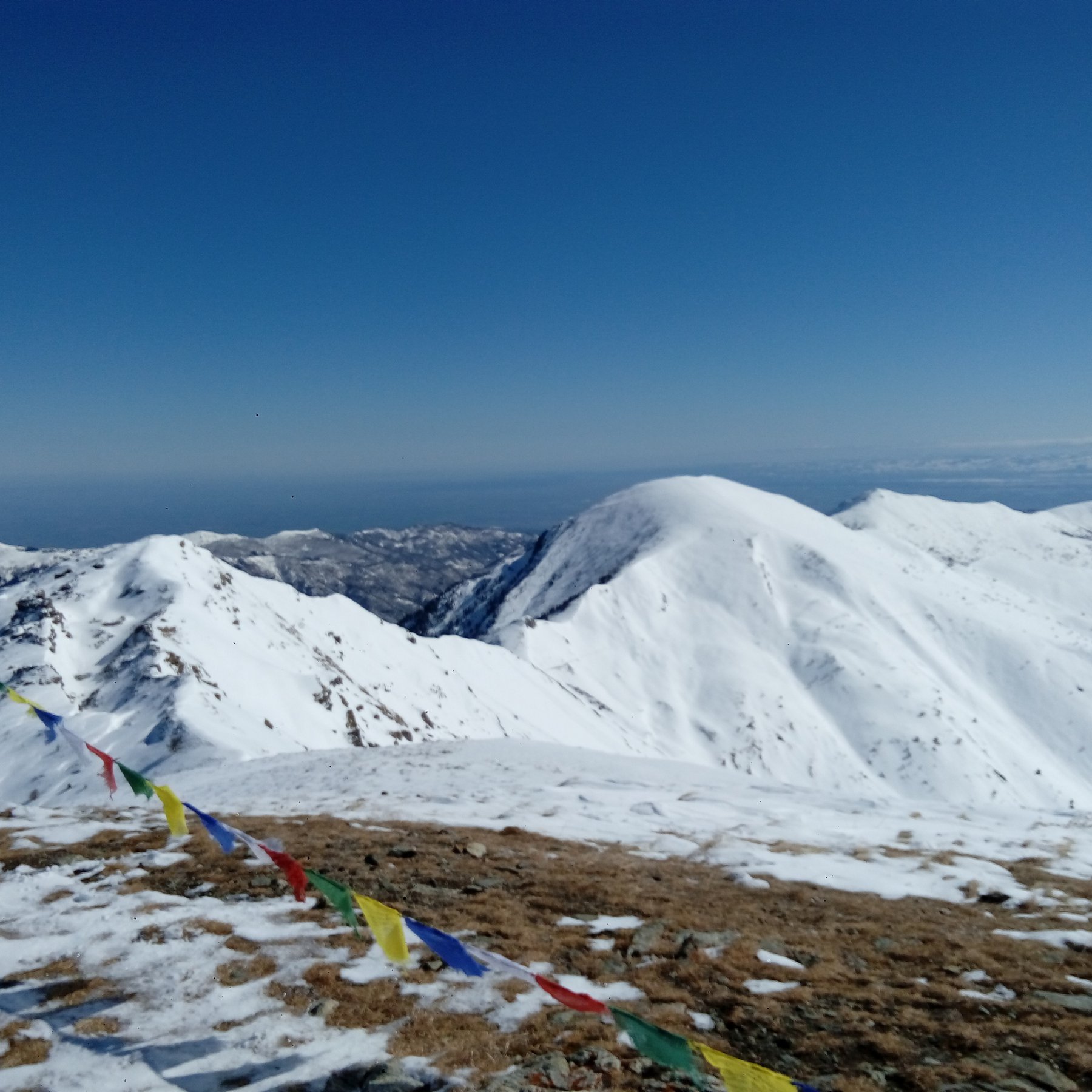
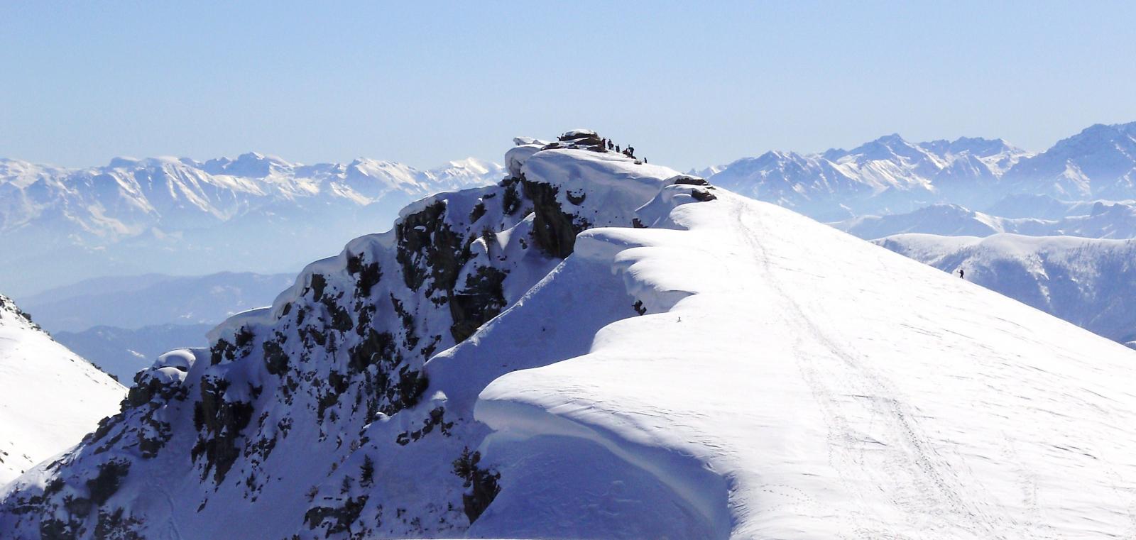
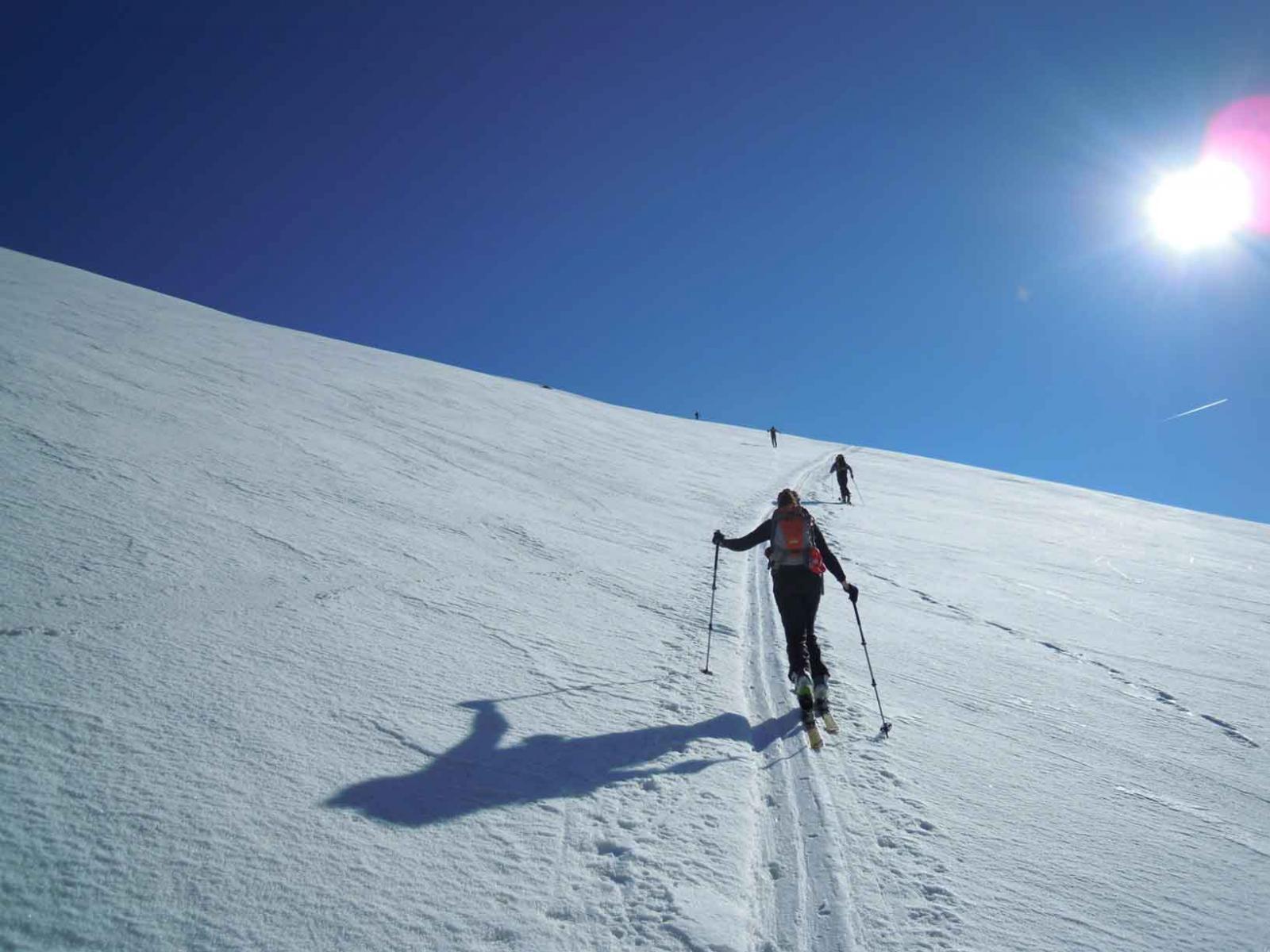
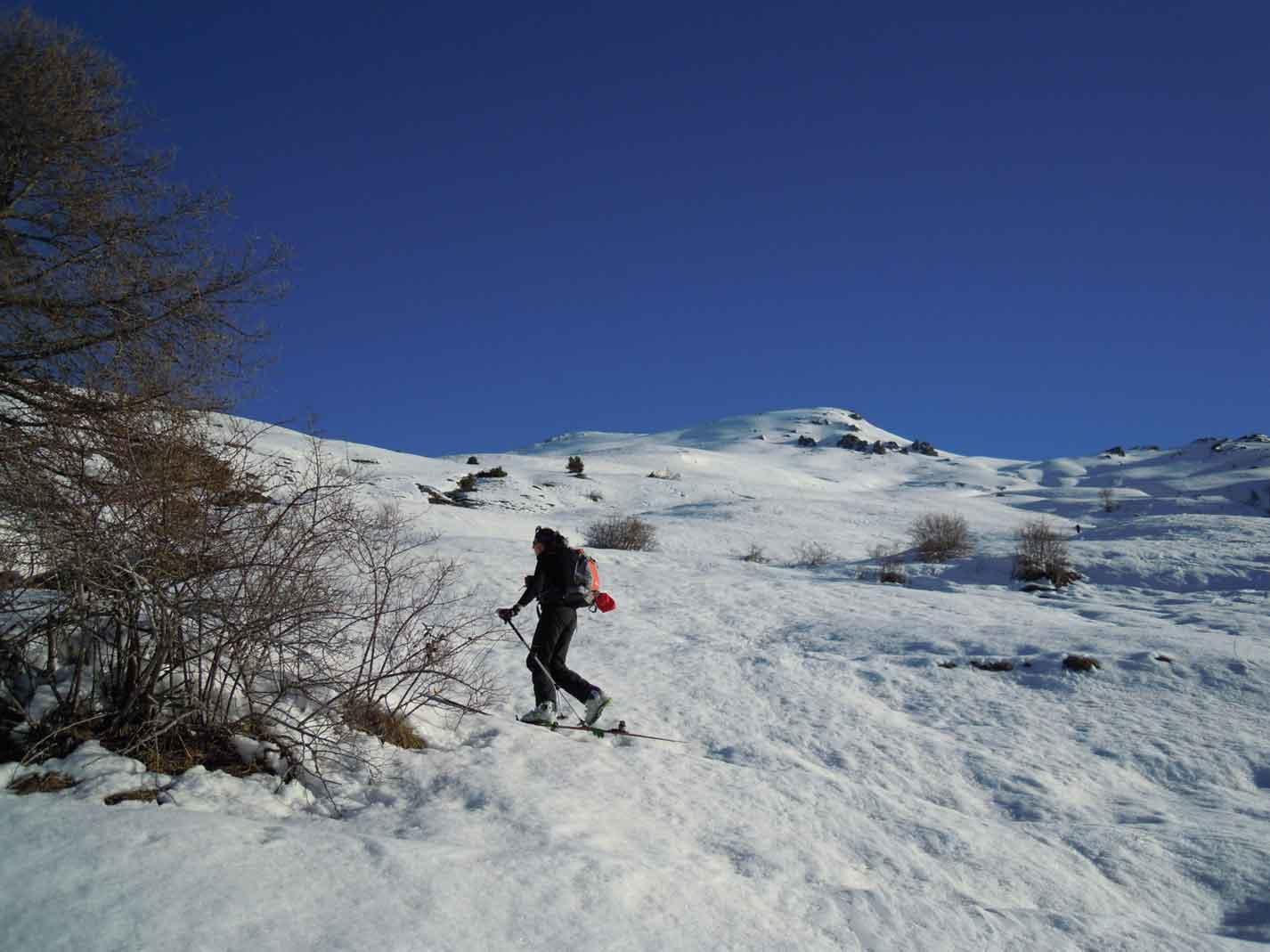
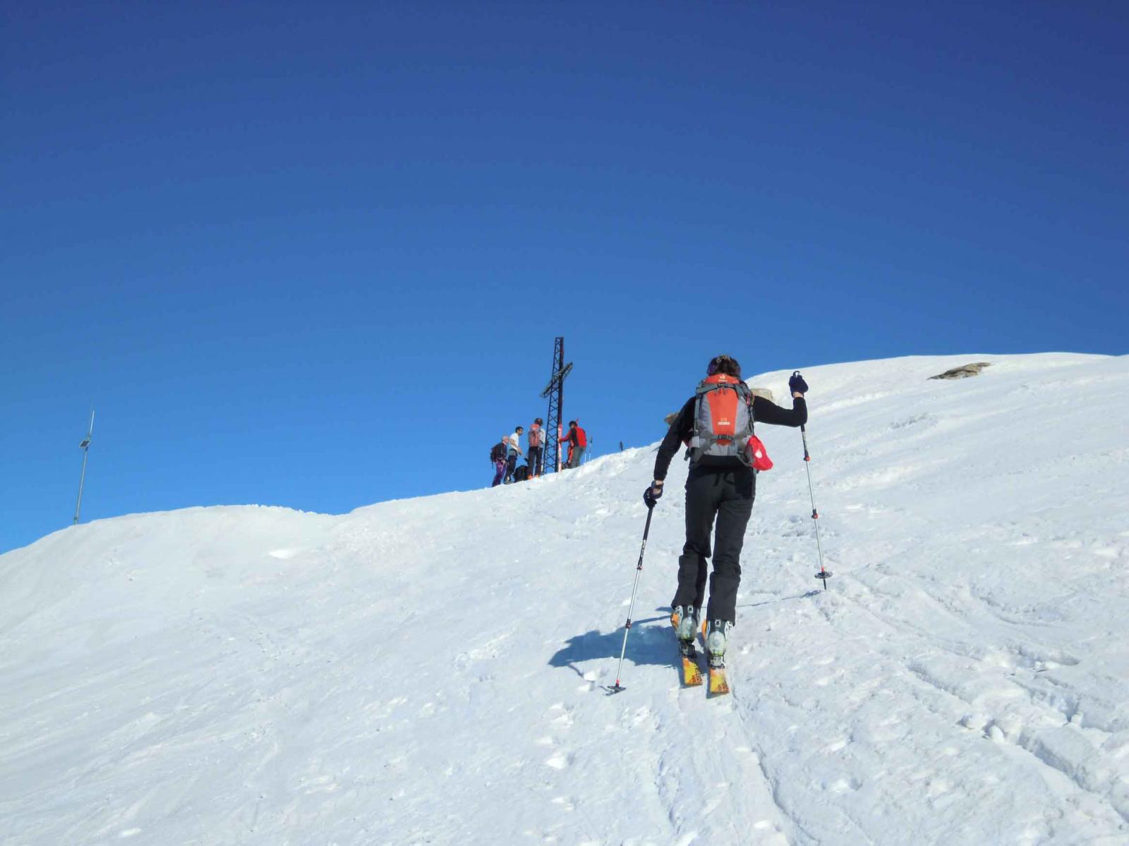
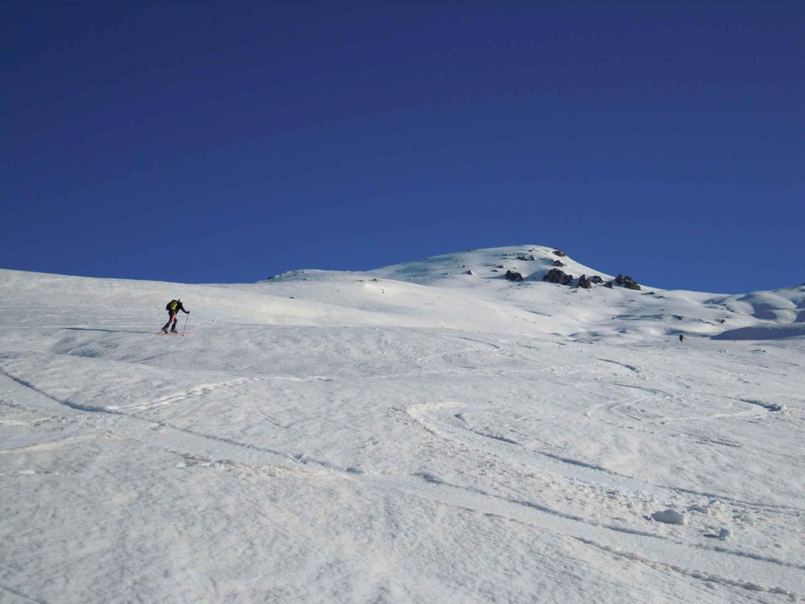
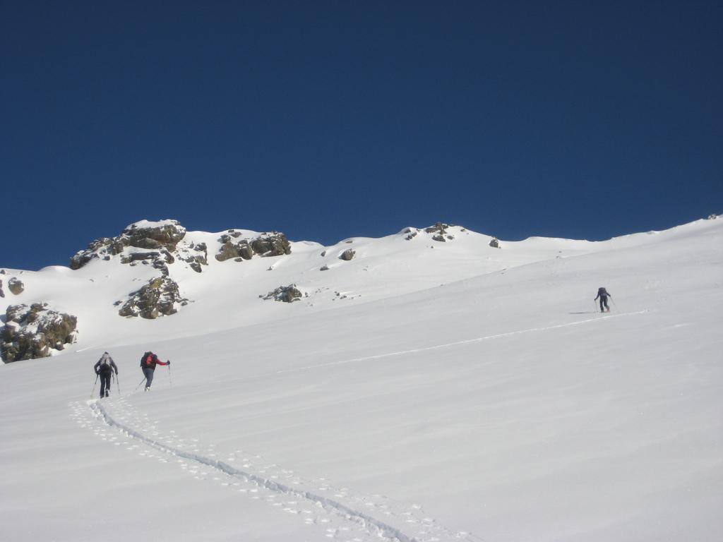
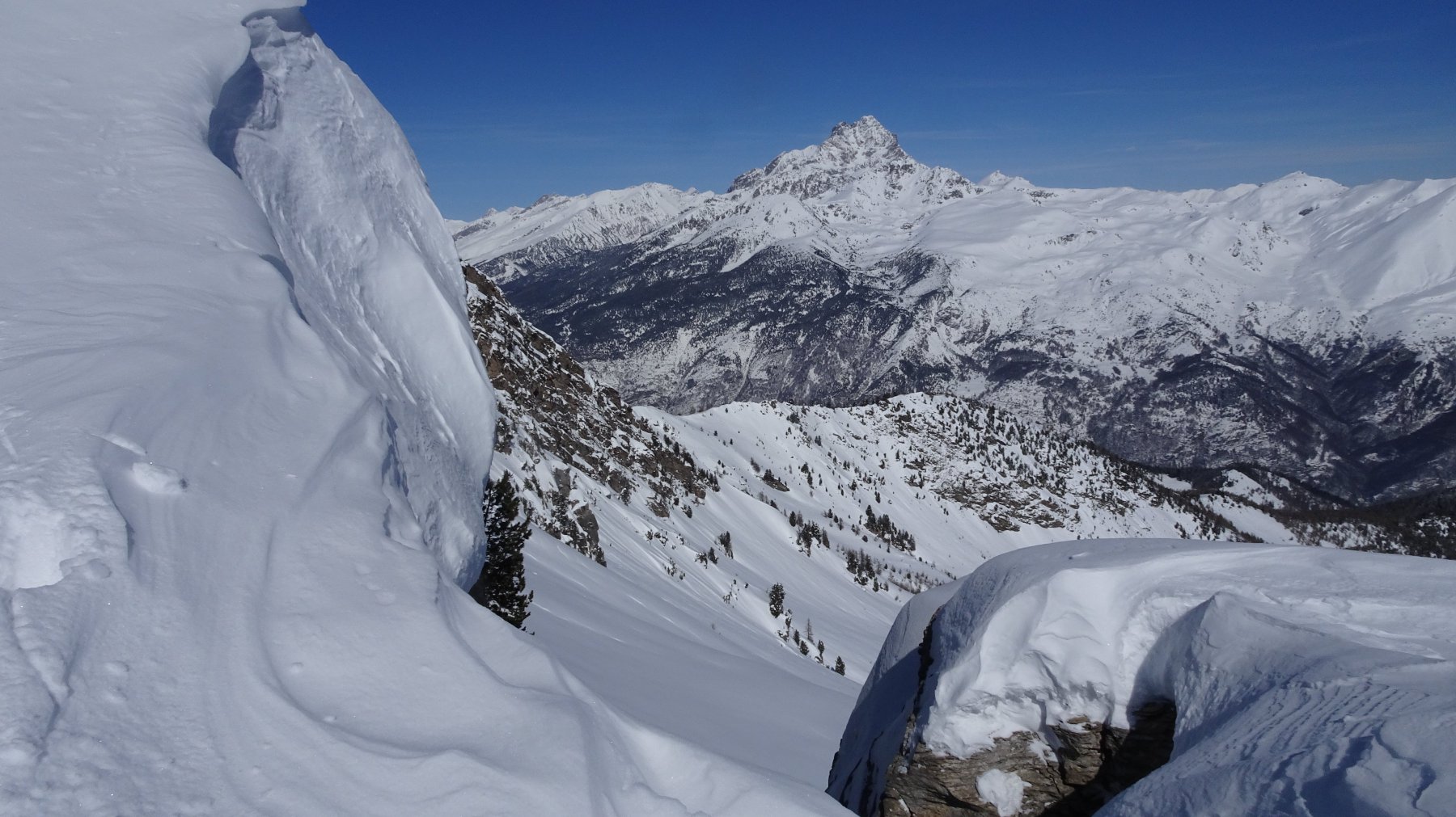
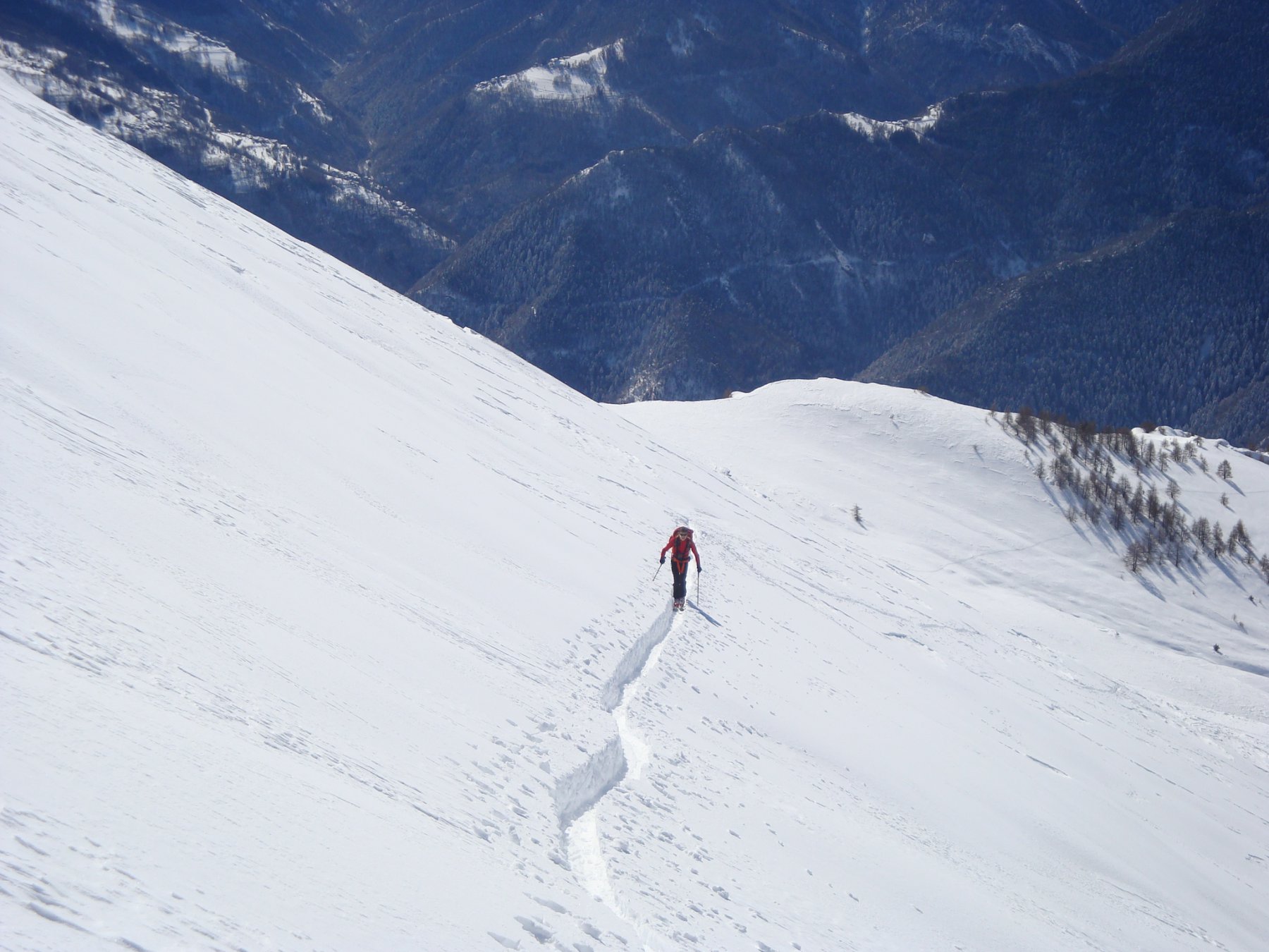
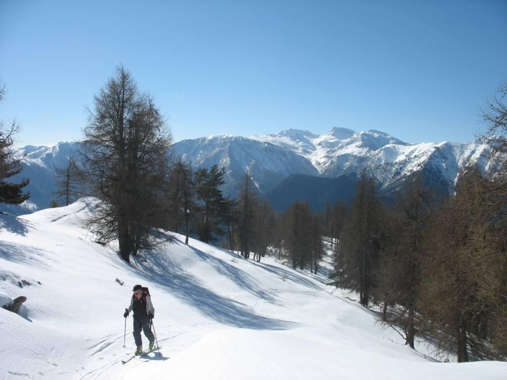
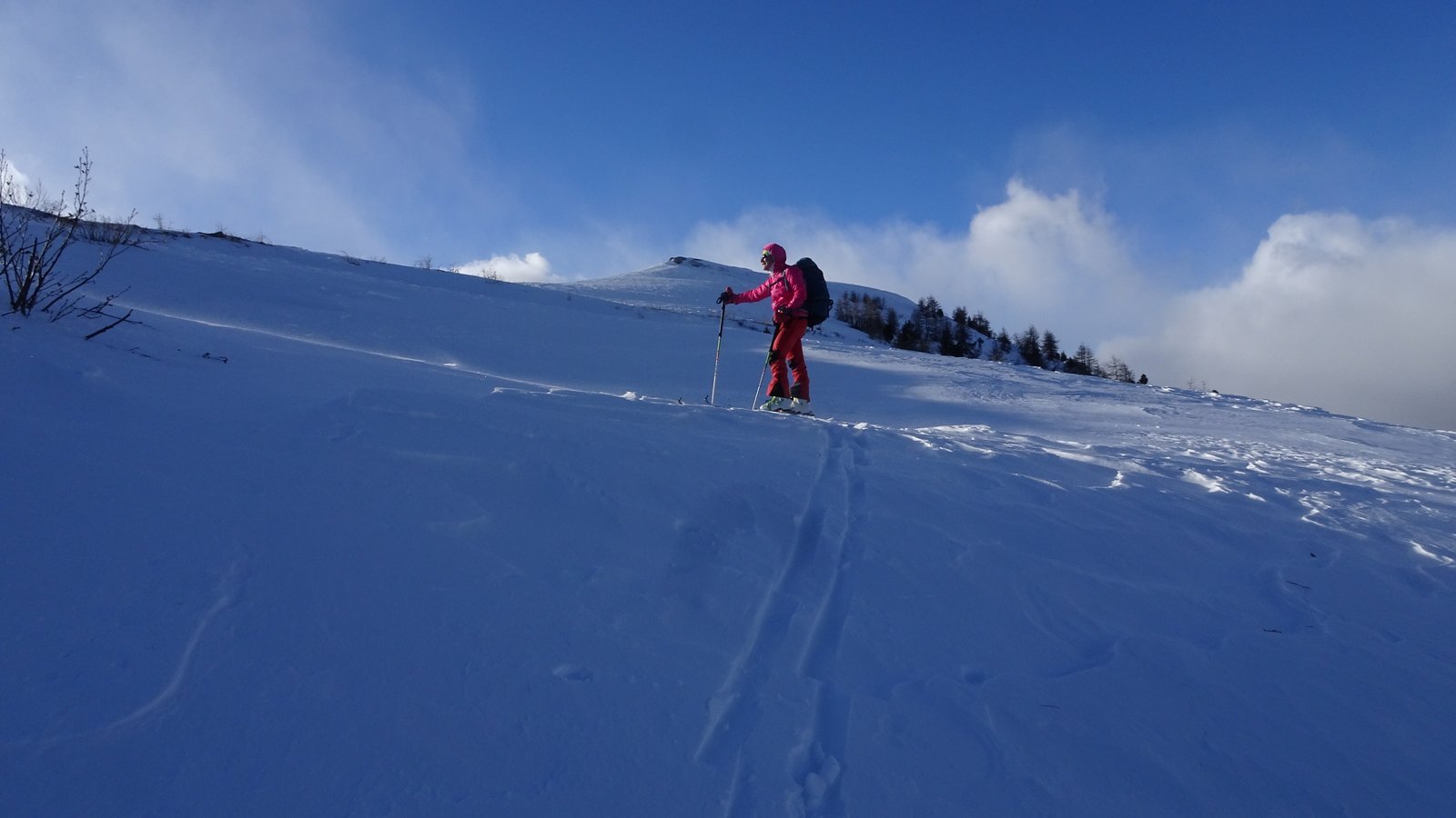
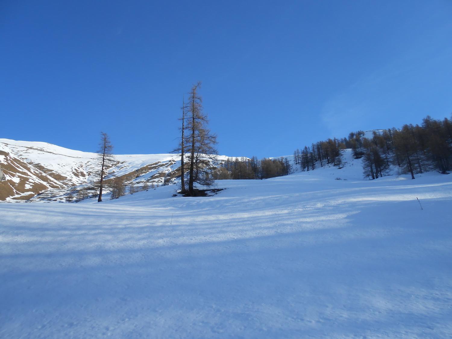
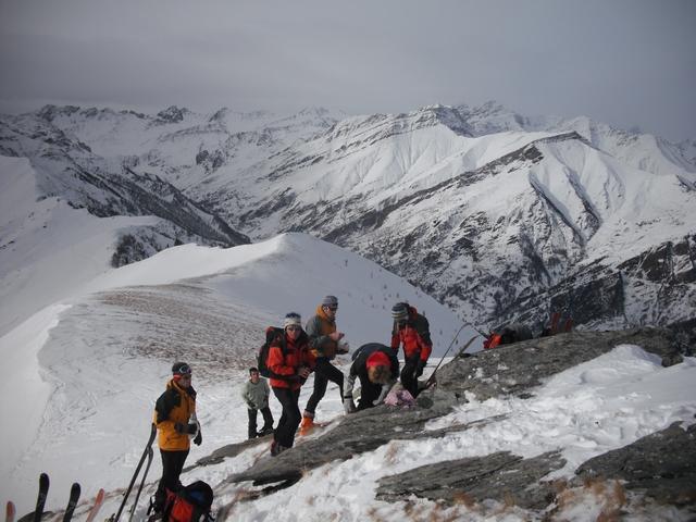
Da Cucchiales di Stroppo si attraversa la borgata e si prende una stradina nel bosco che sale alle ultime case. Si segue la dorsale boscosa sovrastante per ampie radure, tenendosi di preferenza sul lato sinistro (Ovest), maggiormente innevato e piu’ sciabile. Al termine del bosco piegare a destra (direzione Nord-Est) e per ampi pendii raggiungere il Piano della Battaglia. Salire sempre in direzione Nord-Est per dossi e vallette puntando alla Bassa di Rasis. Prima di raggiungere il colle piegare a sinistra e risalire con alcune svolte il bel pendio Sud della Cima Sud del Monte Nebin, la piu’ alta delle due vette (m 2516), sormontata da un enorme masso.
Volendo raggiungere la Cima Nord (2510 m, croce), piegare a sinistra prima del Piano della Battaglia verso Costa Cavallina ed accedere alla vetta con croce ben visibile gia’ da meta’ itinerario. La cresta che collega le due cime e’ elementare.
- Cartografia:
- Fraternali carte 1:25000, Alta Val Maria - Bassa Val Maira
- Bibliografia:
- Bruno Rosano, Charamaio en val Mairo
Nelle vicinanze Mappa
Itinerari
16/03/2024 CN, Stroppo D+ 1089 m BS Sud
Cugulet (Monte) da Cucchiales
 50m
50m
04/12/2004 CN, Stroppo D+ 979 m BS Sud
Cugn di Goria da Cucchiales
 50m
50m
05/01/2020 CN, Stroppo D+ 1051 m BS Sud
Nebin (Monte) da Morinesio
 1Km
1Km
01/02/2026 CN, Stroppo D+ 1030 m MS Sud-Ovest
Cugulet (Monte) da Morinesio
 1Km
1Km
09/12/2018 CN, Elva D+ 1280 m BS Tutte
Nebin (Monte) dal Colle della Cavallina, anello per Monte Cugulet e Cugn di Goria
 2.7Km
2.7Km
21/02/2026 CN, Elva D+ 716 m MS Ovest
Nebin (Monte) da Goria
 3.7Km
3.7Km
27/12/2025 CN, Elva D+ 620 m MS Sud-Ovest
Cugn di Goria da Goria
 3.7Km
3.7Km
23/12/2021 CN, Elva D+ 639 m MS Sud
Serre (Cima delle) da Martini
 4.8Km
4.8Km
12/01/2014 CN, Elva D+ 783 m MS Sud
Morfreid (Monte) da Grangette di Elva
 5.9Km
5.9Km
26/12/2019 CN, Elva D+ 954 m MS Sud
Morfreid (Monte) da Castes
 6.8Km
6.8Km
Servizi
850m
1.9Km
Napoleonica Ristorante
Stroppo
1.9Km
I giardini di Provenza Ristorante
Stroppo
2Km
La Freidio B&B
Marmora
2.6Km
La sousto du col Rifugio
Elva
4.5Km
San Pancrazio – Hans Clemer Albergo
Elva
5Km
Gentil Locanda Ristorante
Marmora
6.6Km
Dei Ciclamini Ristorante
Macra
7Km
Sant’Anna Rifugio
Sampeyre
7.2Km