250m
250m
Note
 50m
1.4Km
1.4Km
1.4Km
1.6Km
1.6Km
1.6Km
3.7Km
50m
1.4Km
1.4Km
1.4Km
1.6Km
1.6Km
1.6Km
3.7Km
250m
1.6Km
1.6Km
1.8Km
3.6Km
5.4Km
5.6Km
5.6Km
6.6Km
6.8Km
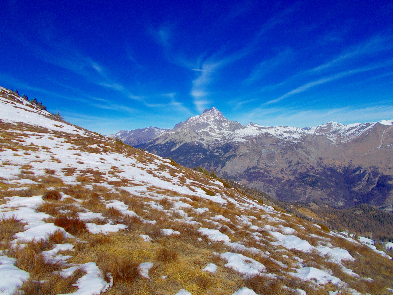
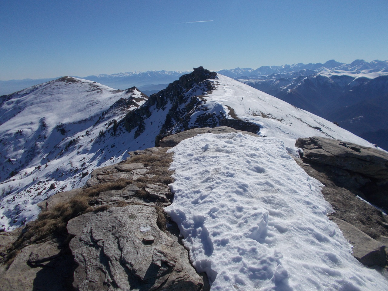
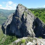
Primo tratto in bosco rado poi su ampi ma costanti pendii-Il percorso dal Cugulet alla cima Nebin NO si può svolgere per saliscendi,che determinano un aumento del dislivello, sulla bella e ampia cresta dominata dal Monviso.
Avvicinamento
.
Descrizione
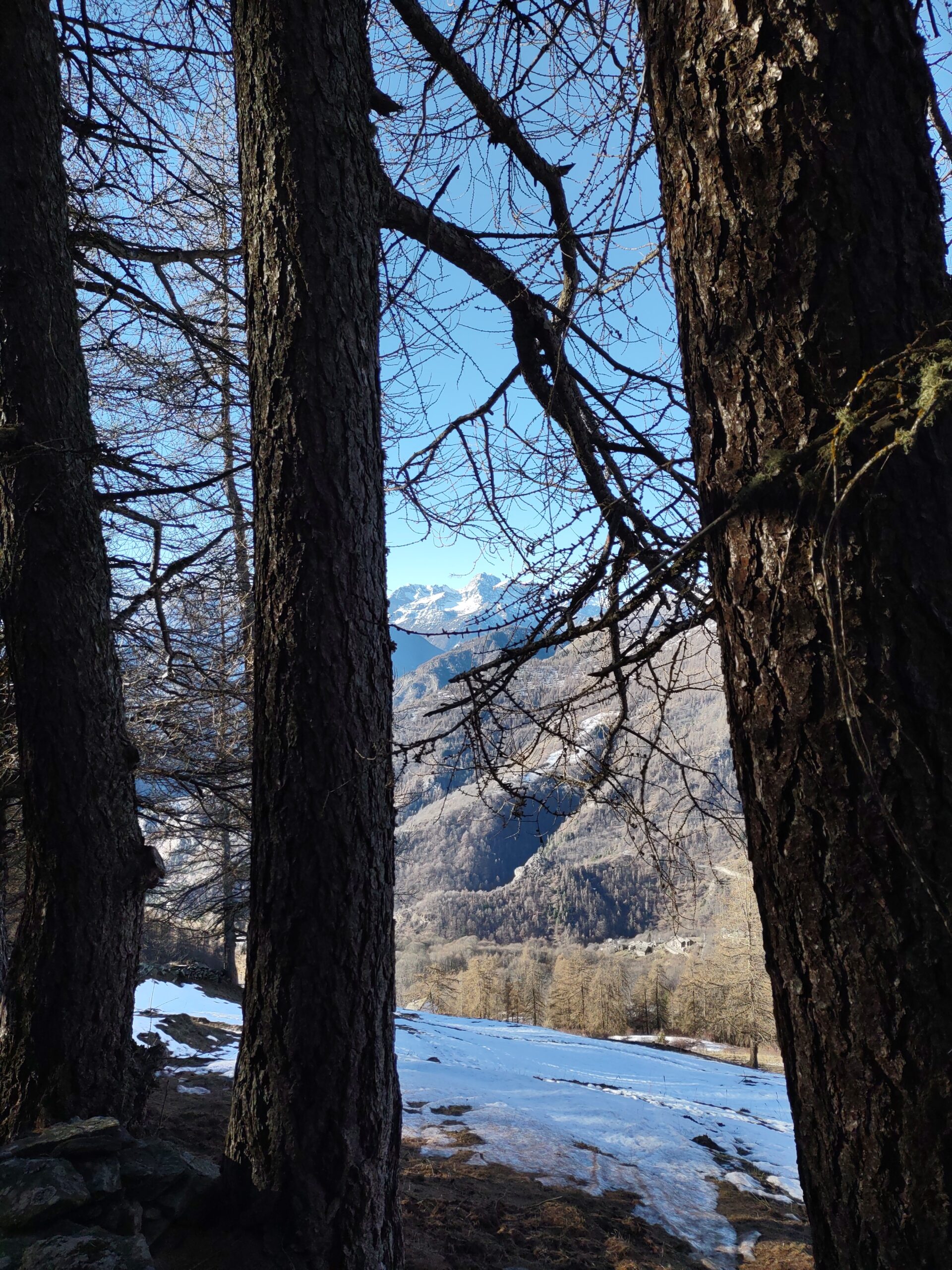
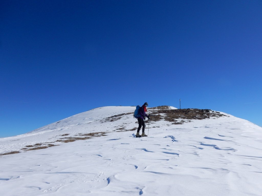
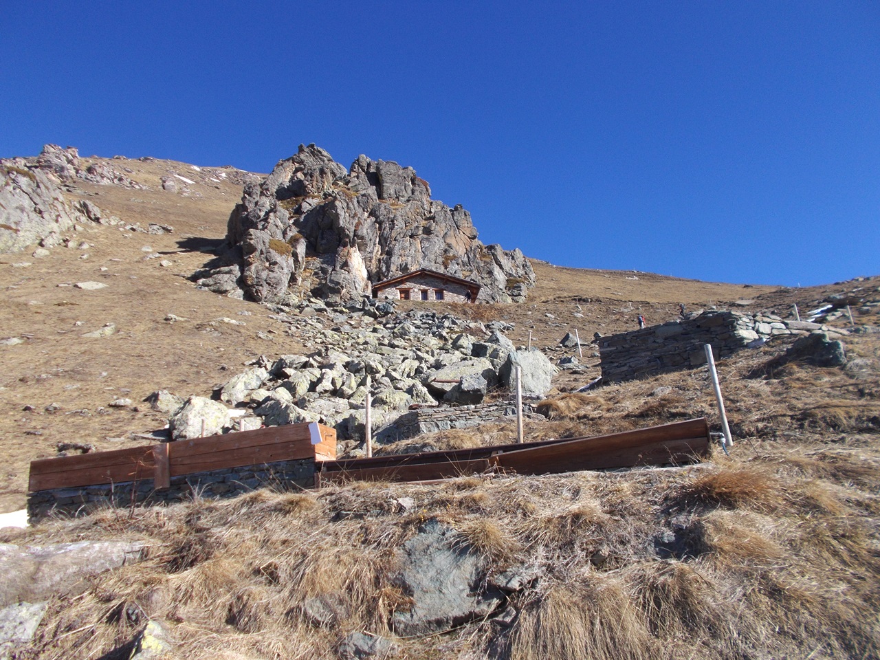
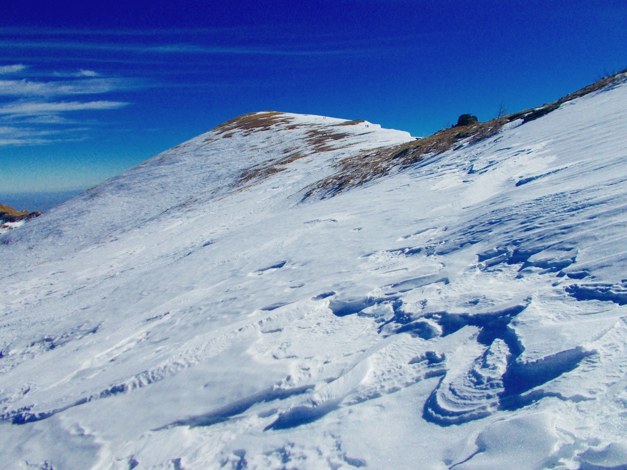
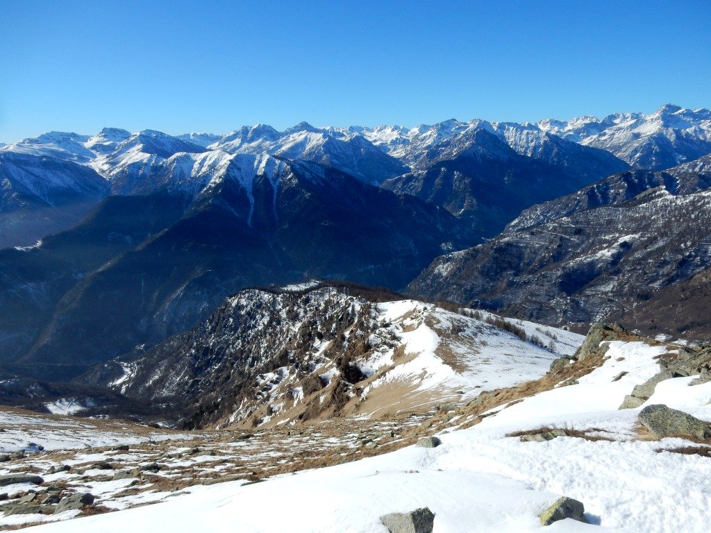
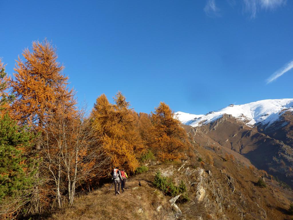
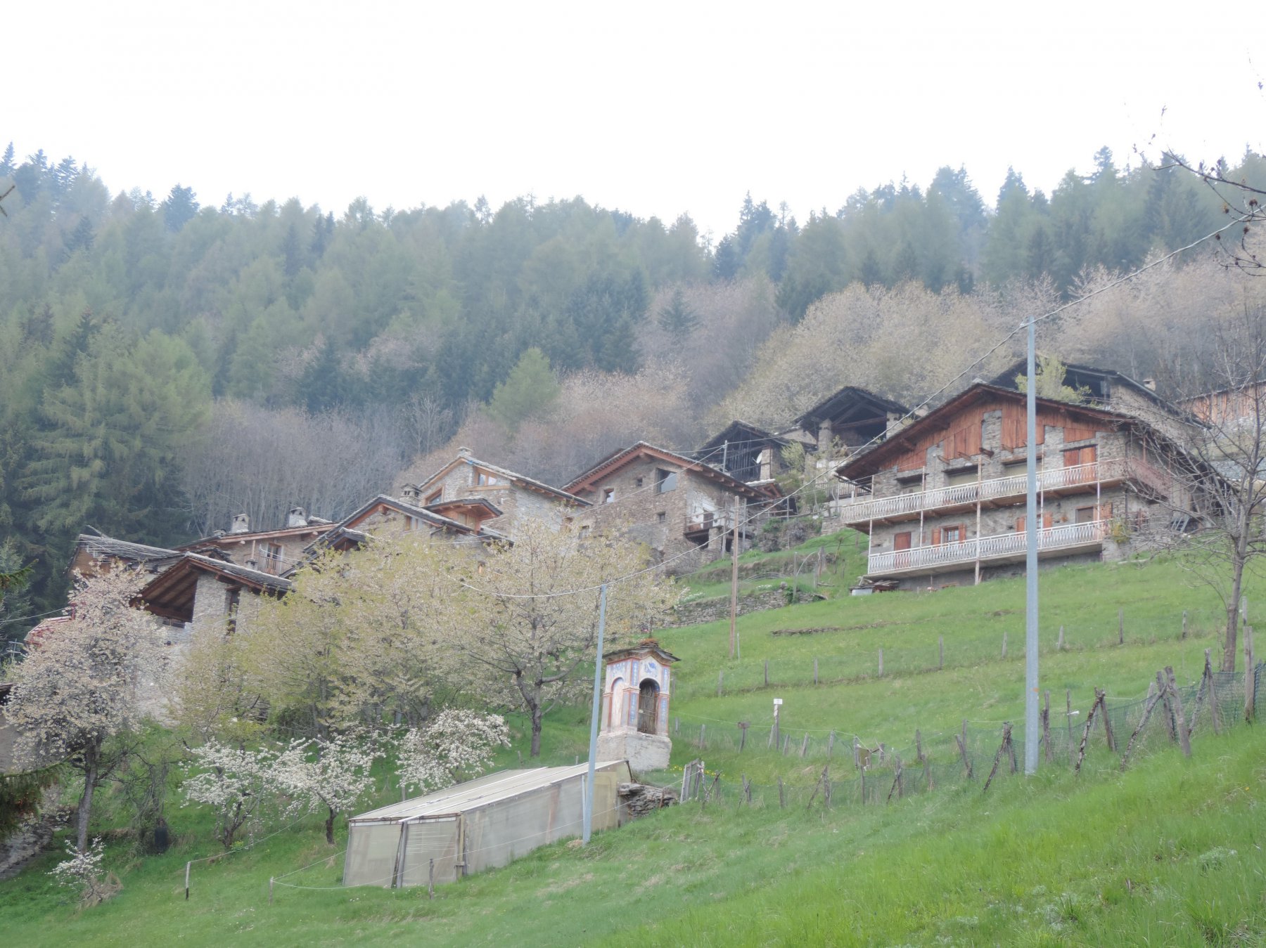
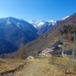
Dalle case alte di Morinesio si prende una sterrata sulla sinistra sopra le case che alzandosi, attraverso radi lariceti, porta verso nordest nei pressi di punta La Croce sulla costa dei Passetti.A circa quota 2000 la Costa dei Passetti si apre sugli ampi pendii meridionali del Monte Nebin. Risaliti i pendii dapprima moderati ma continui e poi un po’ più ripidi si raggiunge la Bassa di Rasis o Rocciaset. Proseguendo ora a destra sulla comoda dorsale si raggiunge il Monte Cugulet.
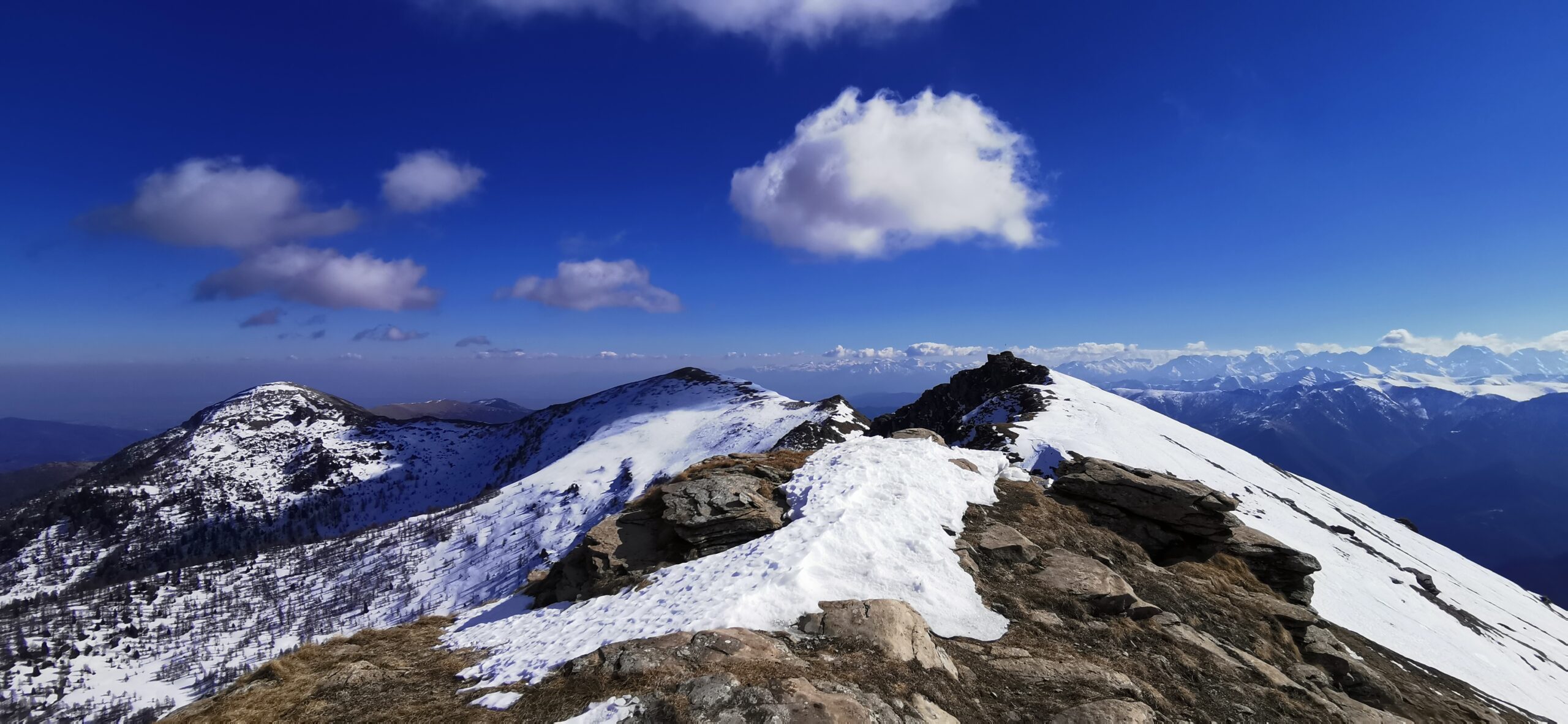
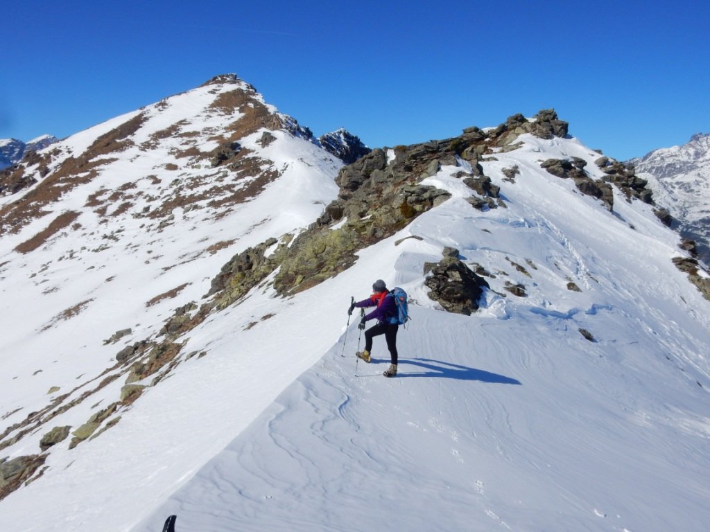
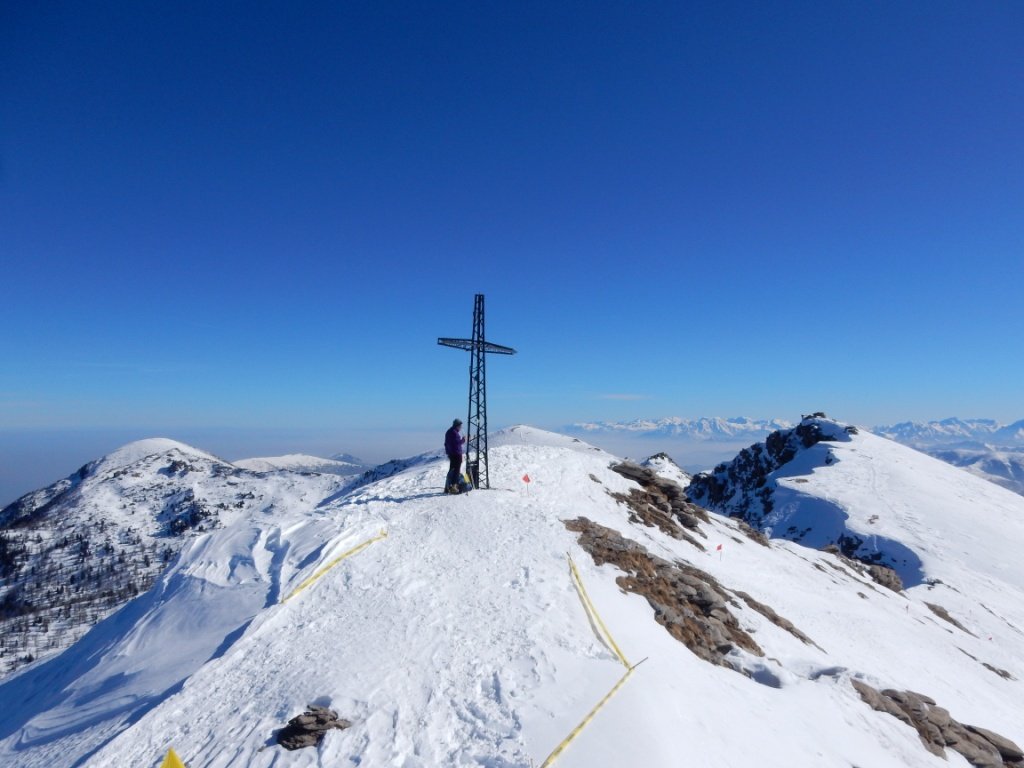
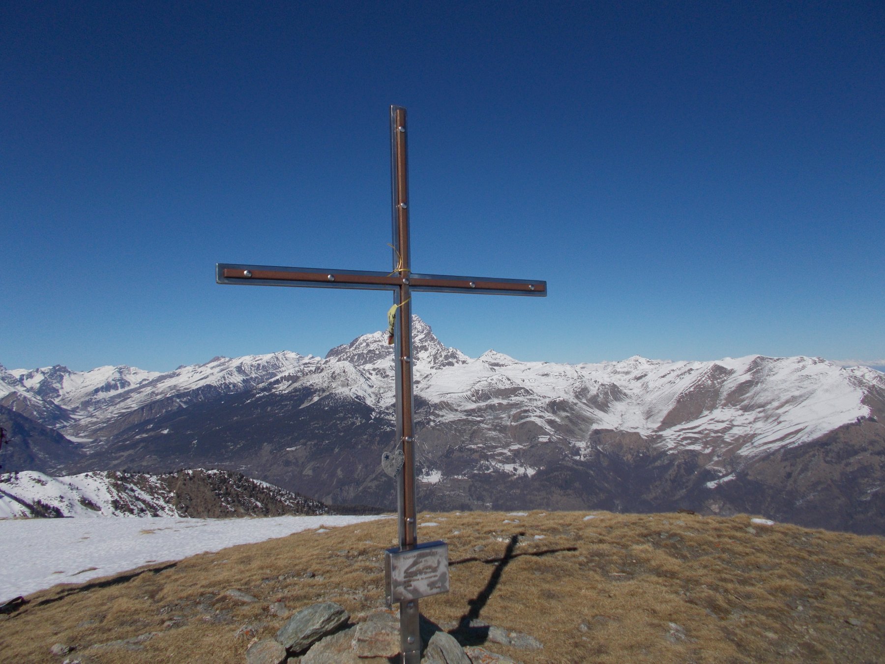
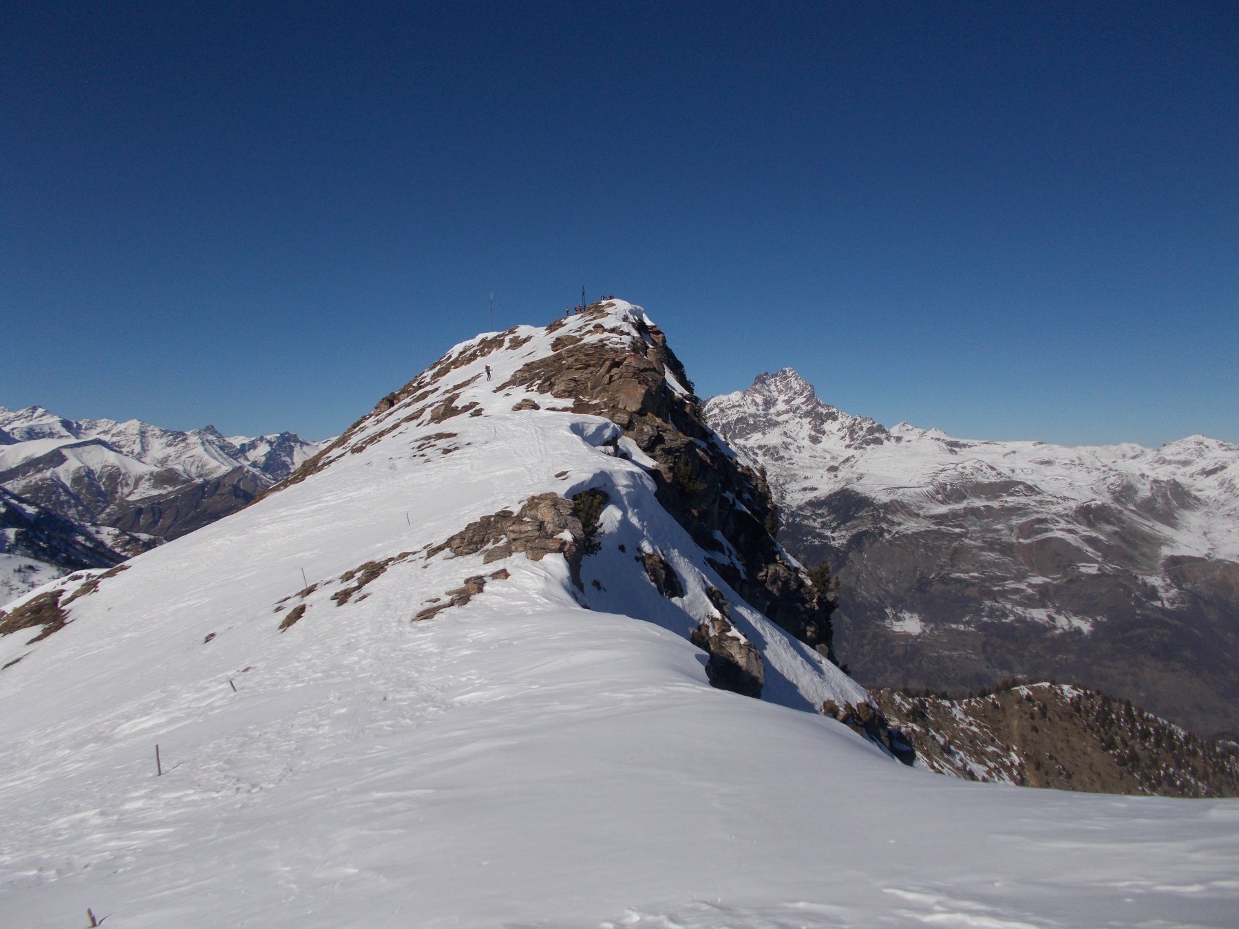
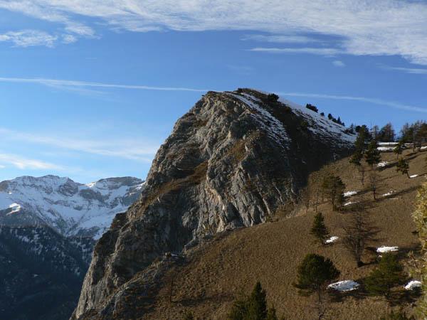
Ritornati alla depressione precedente, si percorre la cresta in direzione del Monte Nebin, con percorso più ripido. La cresta non presenta particolari difficoltà (attenzione solo alle cornici) ed i pochi ostacoli si aggirano comodamente sul versante della Val Maira. Toccata una anticima sud-est caratterizzata da un curioso masso (detto il piatto), si raggiunge sempre su dorsale la cima del Nebin, caratterizzata dalla grossa croce. e prendere da qui verso Ovest la cresta che porta al Nebin.
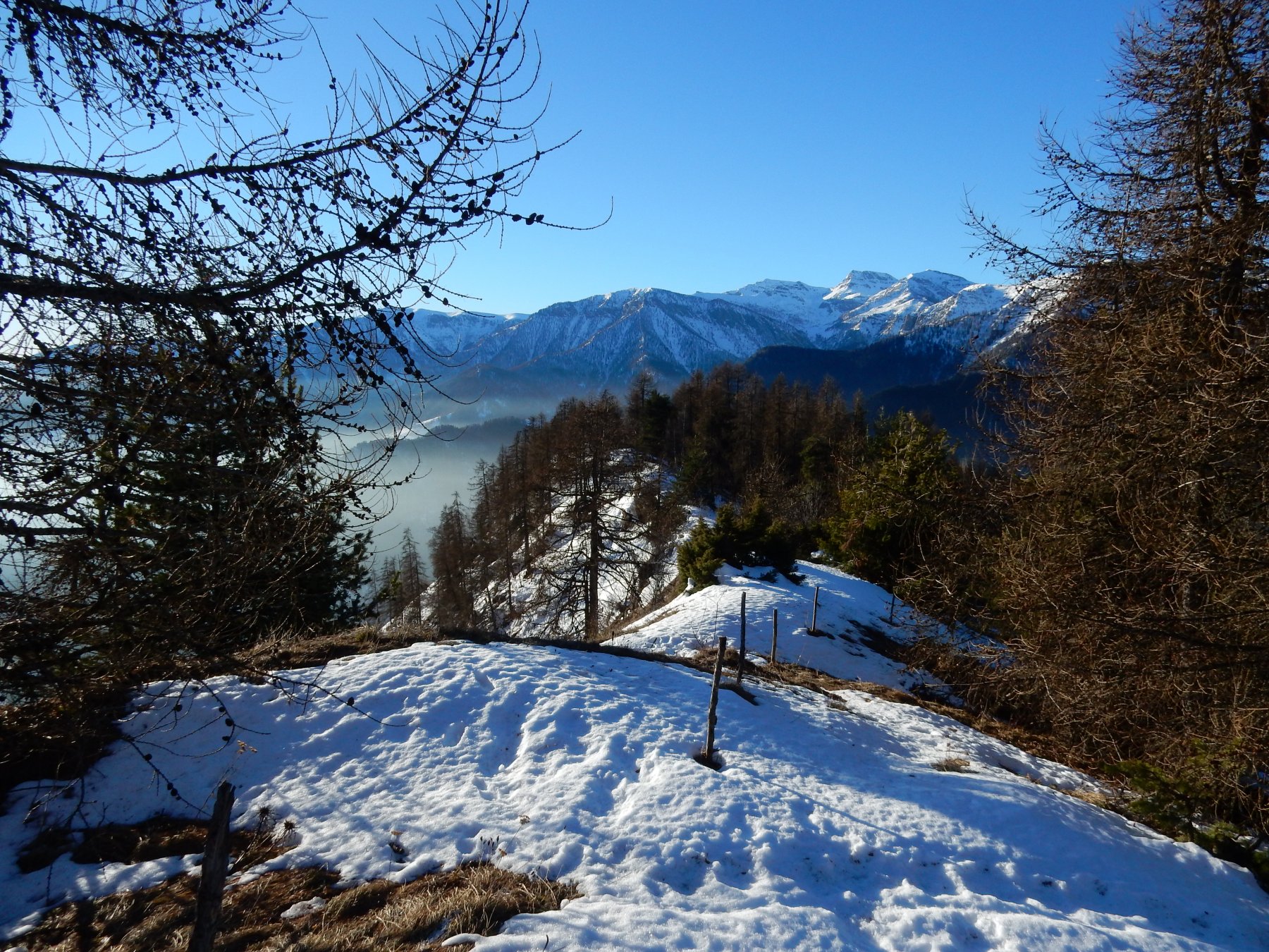
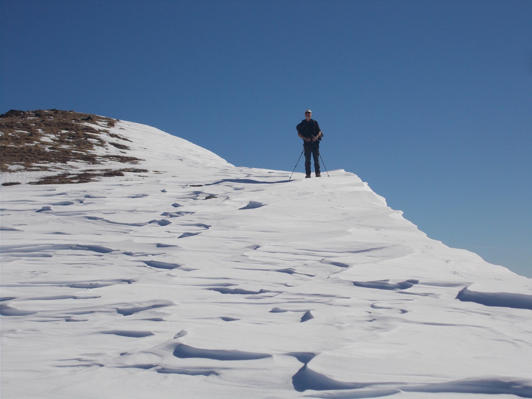
La discesa può essere effettuata ritornando alla Bassa di Rasis, quindi con percorso più dolce, oppure per i pendii rivolti a sud-ovest, con pendenza un po’ più sostenuta.
- Cartografia:
- IGC 1:50000 Valli Maira-Grana-Stura n.7,Valli del Monviso
- Bibliografia:
- JC.Campana-Dal Colle della Maddalena al Monviso
Ultima revisione 08/01/2024
Nelle vicinanze Mappa
Itinerari
20/11/2022 CN, Stroppo D+ 1100 m EE Sud-Est
Cugulet (Monte) e Cima Lubin da Morinesio, anello
 50m
50m
27/06/2024 CN, Stroppo D+ 831 m E Sud
Bettone (Monte) da Paschero e il Monte Betunet
 1.4Km
1.4Km
24/11/2024 CN, Stroppo D+ 400 m E Sud
Diavolo (Grotta del) da Paschero, anello
 1.4Km
1.4Km
06/12/2007 CN, Stroppo D+ 781 m E Tutte
Bettone (Colle) da Paschero, anello
 1.4Km
1.4Km
05/07/2026 CN, Stroppo D+ 900 m E Sud
Cavallina (Colle della) da Paschero, anello per Elva
1.4Km
13/06/2021 CN, Stroppo D+ 1600 m E Sud
Nebin (Monte) da Stroppo
 1.6Km
1.6Km
25/04/2017 CN, Stroppo D+ 950 m E Varie
Encucetta (Colle) da Stroppo, anello per Palent
 1.6Km
1.6Km
12/05/2020 CN, Stroppo D+ 1250 m E Nord
Buch (Monte) da Stroppo
 1.6Km
1.6Km
24/03/2022 CN, Stroppo D+ 700 m E Varie
Castello (Cresta del) da Chiampo, anello per Pessa, Aramola e Colletto
 3.7Km
3.7Km
01/06/2014 CN, Sampeyre D+ 350 m E Sud-Est
Morfreid (Monte) dal Colle di Sampeyre
4.2Km
Servizi
250m
1.6Km
Napoleonica Ristorante
Stroppo
1.6Km
I giardini di Provenza Ristorante
Stroppo
1.8Km
La Freidio B&B
Marmora
3.6Km
La sousto du col Rifugio
Elva
5.4Km
Gentil Locanda Ristorante
Marmora
5.6Km
San Pancrazio – Hans Clemer Albergo
Elva
5.6Km
Dei Ciclamini Ristorante
Macra
6.6Km
Locanda Rifugio
Celle di Macra
6.8Km