1.8Km
1.8Km

Note
 850m
850m
2.9Km
2.9Km
2.9Km
2.9Km
2.9Km
2.9Km
2.9Km
2.9Km
850m
850m
2.9Km
2.9Km
2.9Km
2.9Km
2.9Km
2.9Km
2.9Km
2.9Km
1.8Km
2.2Km
3Km
4.9Km
4.9Km
4.9Km
5.5Km
5.7Km
6.1Km
7.3Km
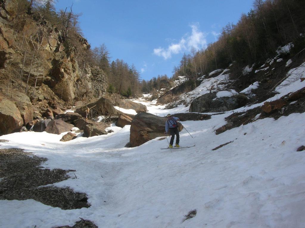
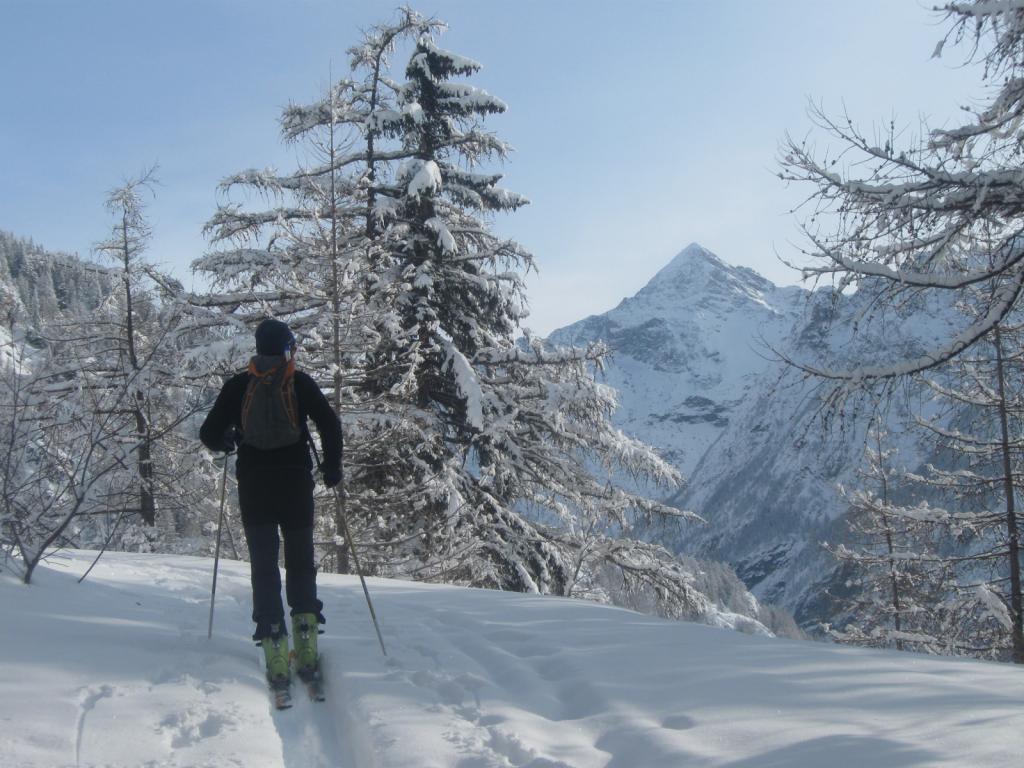
Itinerario che si svolge nella rarissimamente frequentata Comba di Verdona, vallone laterale che si apre sulla sinistra orografica della Valpelline.
Avvicinamento
Prima di raggiungere il capoluogo di Oyace, prendere la deviazione per Vernosse, e superato il torrente Buthier su di un ponte, raggiungere la riva sinistra orografica della Valpelline dove, dopo un centinaio di metri, termina la strada asfaltata.
Descrizione
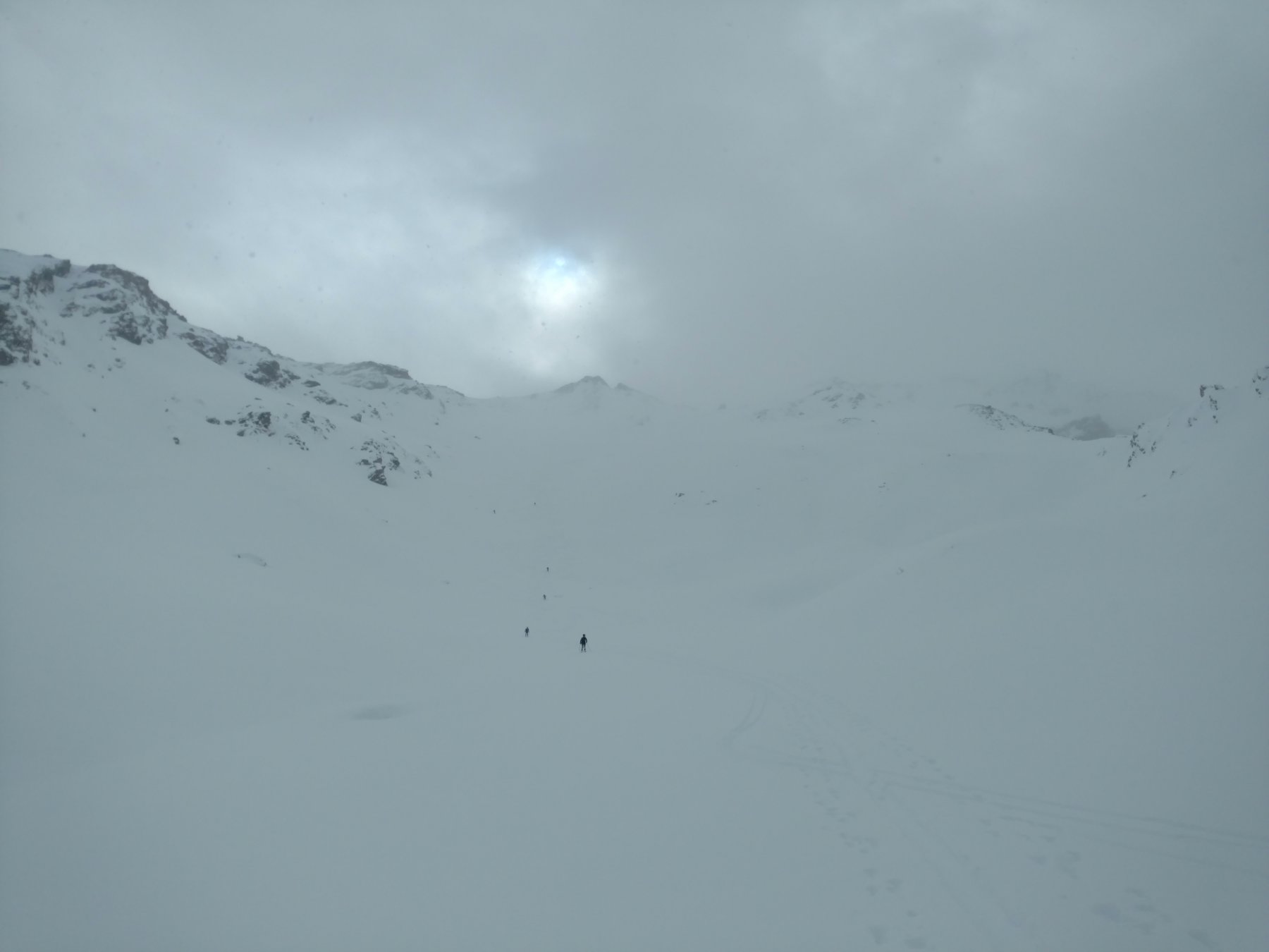
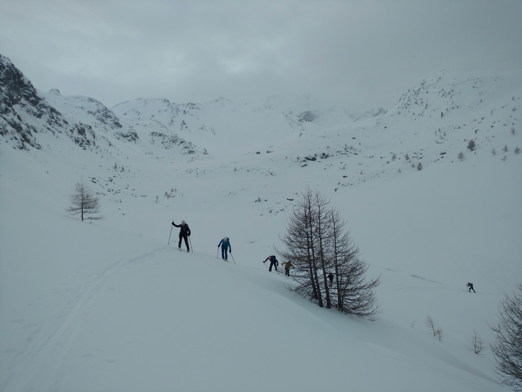
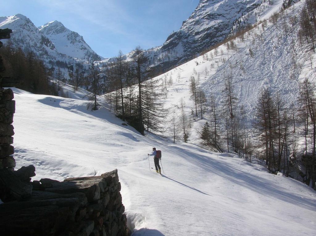
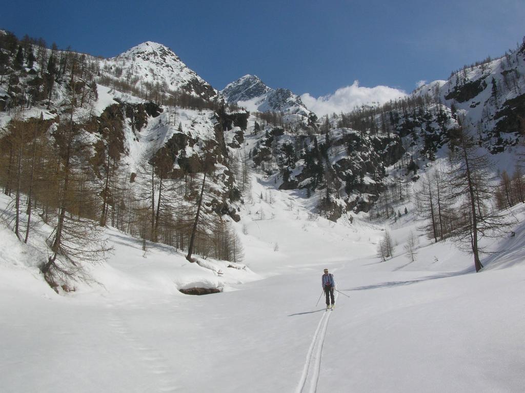
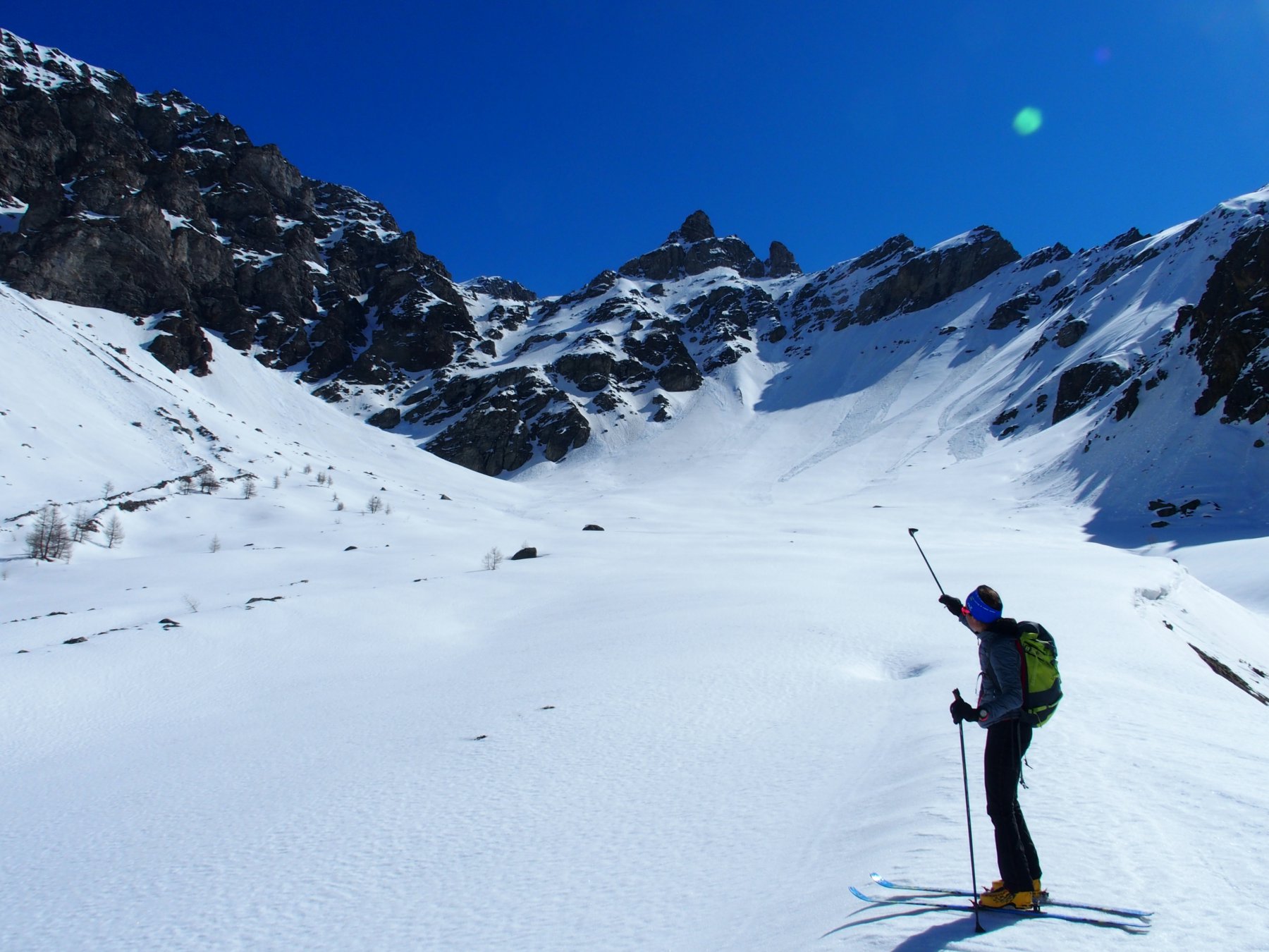
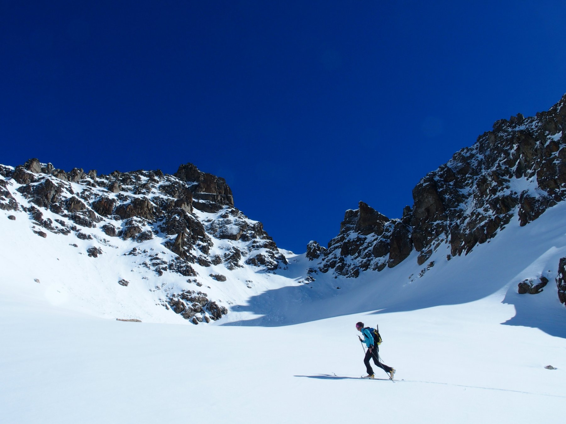
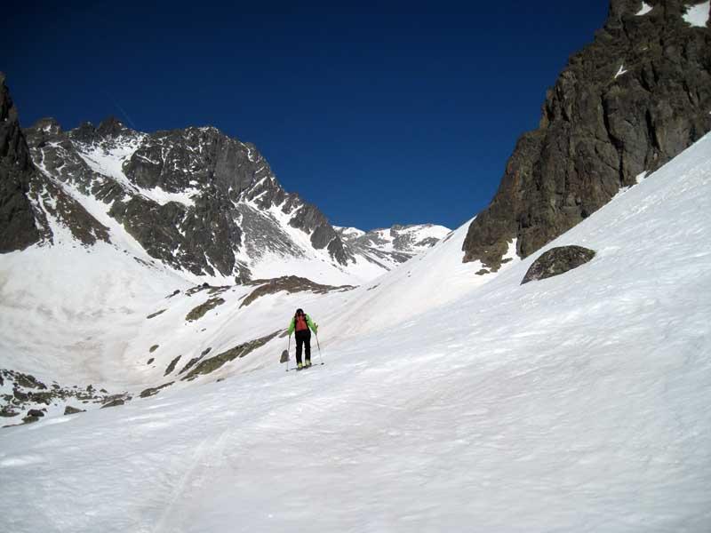
Lasciata la vettura imboccare il sentiero con il segnavia n.4 sulla sinistra e giunti all’alpe Verdona (1617) proseguire sulla destra oltrepassare il canale e riprendere il sentiero che mantenendosi sulla sinistra (salendo) del torrente Verdona raggiunge l’ alpe Brouille (1889m). Qui si entra nella comba di Verdona vera e propria, all’ altezza di un pianoro stretto tra i ripidi contrafforti della Becca di Nona a sinistra e della Becca Morion a destra e circondato da una fascia rocciosa che può essere superata sia lungo il percorso del sentiero estivo, che si mantiene sulla destra orografica del vallone (in questo caso puntare ad un canale che scende dalla Becca di Nona e, praticamente al suo inizio, uscirne a destra per raggiungere comodi pendii), che direttamente per un ripido canale al fondo del pianoro.
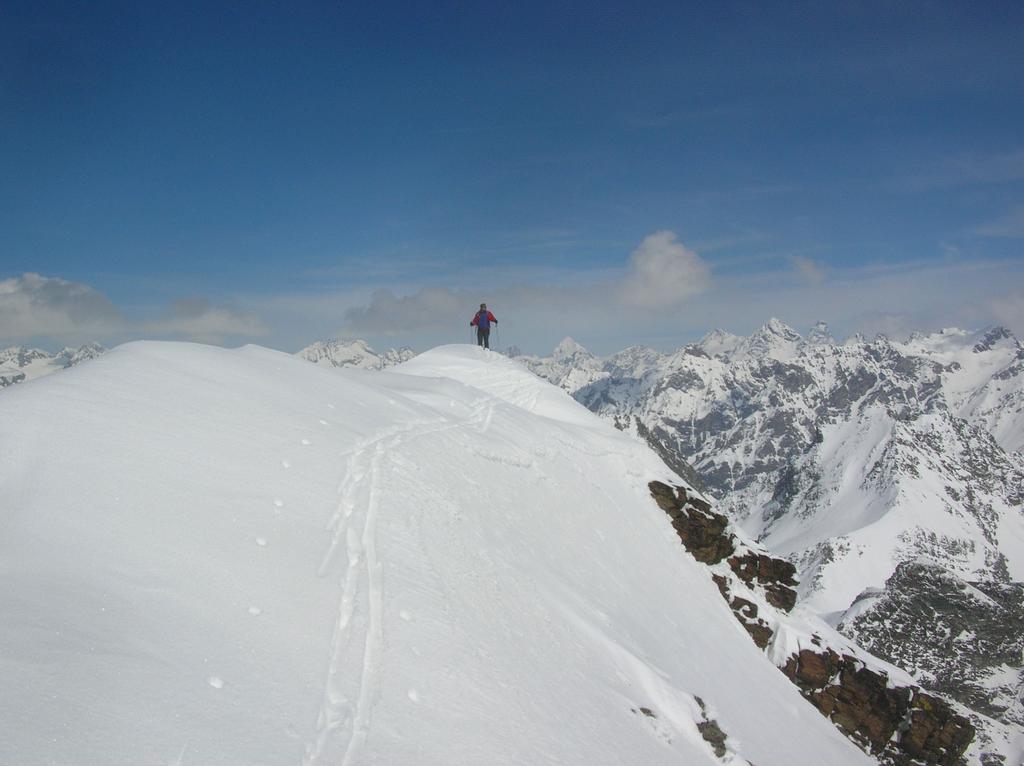
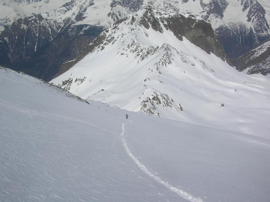
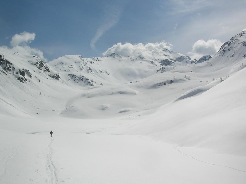
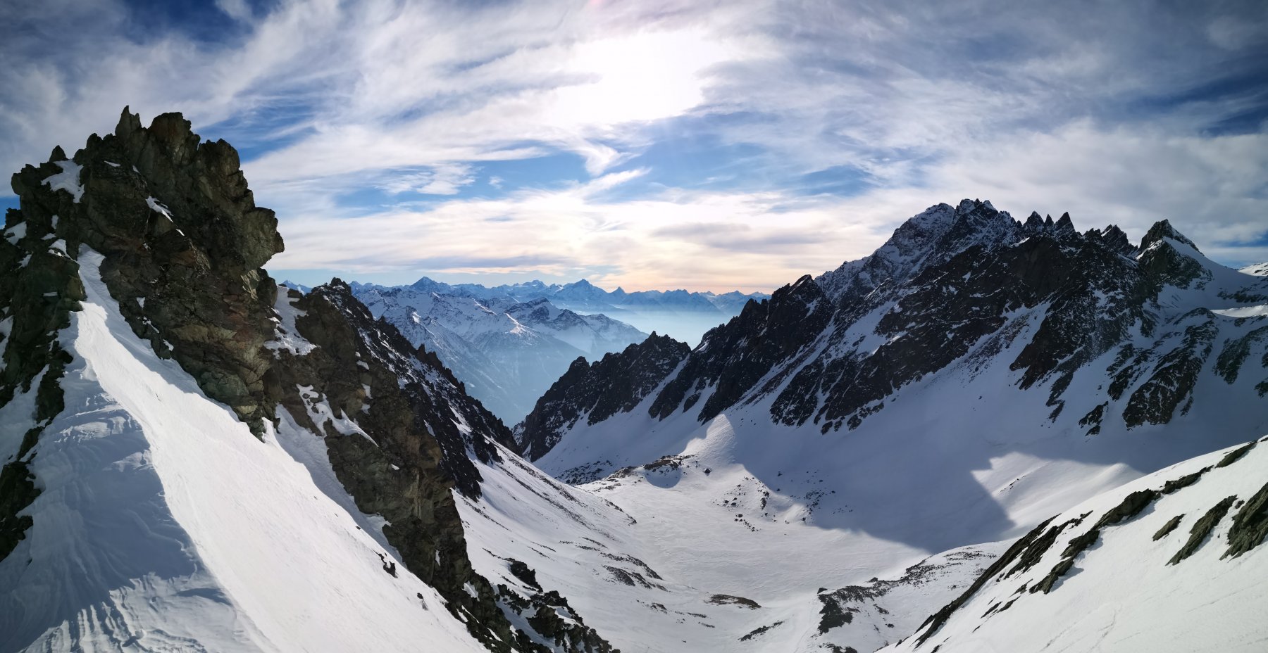
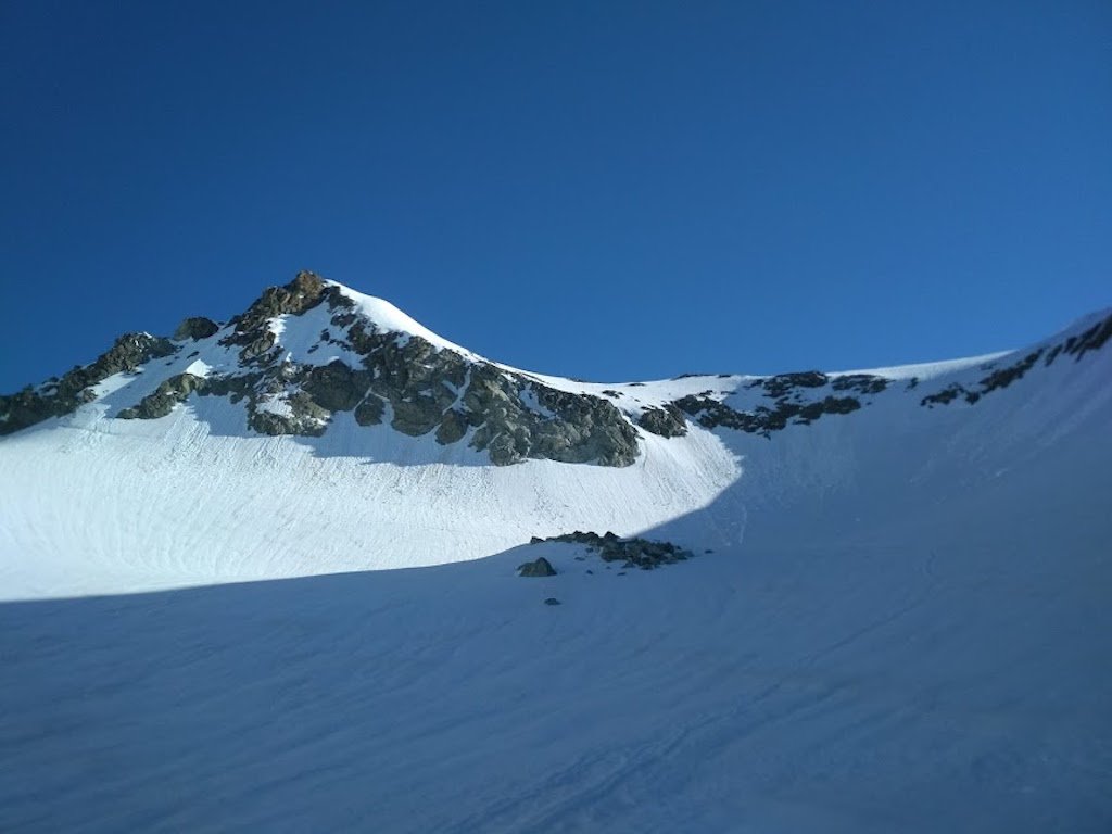
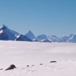
Si perviene così nell’ ampia e bella conca dell’ alpe la Tsa (2317m) dove, sulla destra della testata del vallone, diviene visibile la Becca Conge. Per ampi e regolari pendii raggiungere, a monte della quota 2826m, il crestone nord-est della Becca Conge.
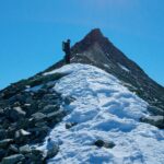
Per esso alla quota 2914m Da qui, se si vuole raggiungere la sommità vera e propria, è necessario scendere per una quindicina di metri (in estate passaggi di II) ad una forcella da dove superando direttamente, se le condizioni lo consentono, o aggirandolo per i ripidi pendii del versante sud (Saint Barthelemy) un breve risalto roccioso si perviene, per cresta, al punto culminante (questo tratto e’ BSA).
Discesa per l’ itinerario di salita.
- Cartografia:
- IGC Cervino Monte Rosa
- Bibliografia:
- Guida dei Monti di Italia Alpi Pennine
Nelle vicinanze Mappa
Itinerari
27/02/2021 AO, Oyace D+ 2000 m BS Nord
Pisonet (Monte) da Closè
 850m
850m
26/03/2016 AO, Oyace D+ 1593 m OS Sud
Clocherots (Col de) da Closè
 850m
850m
17/05/2026 AO, Bionaz D+ 1830 m BSA, F Sud-Ovest
Gelé (Mont) da Ruz per il Rifugio Crête Sèche
 2.9Km
2.9Km
03/01/2024 AO, Bionaz D+ 1270 m BSA Sud
Sabla o Sabbia (Col de la) da Ruz
 2.9Km
2.9Km
28/02/2026 AO, Bionaz D+ 1174 m OS Est
Sabla o Sabbia (Col nord de la) da Ruz per il canalone Est
 2.9Km
2.9Km
10/04/2025 AO, Bionaz D+ 1244 m BS Sud
Crête Sèche (Colle di) da Ruz
 2.9Km
2.9Km
04/03/2026 AO, Bionaz D+ 1748 m BSA Sud-Ovest
Noeud de la Rayette da Ruz
 2.9Km
2.9Km
20/02/2021 AO, Bionaz MS Sud
Chardonney (Colle) da Ruz
 2.9Km
2.9Km
07/03/2026 AO, Bionaz D+ 1735 m BSA Varie
Cervo (Monte) da Ruz
 2.9Km
2.9Km
01/02/2012 AO, Bionaz D+ 900 m MS Est
Spataro Franco (Bivacco) da Ruz
 2.9Km
2.9Km
Servizi
1.8Km
2.2Km
Lac Lexert Campeggio
Bionaz
3Km
Crête Sèche Rifugio
Bionaz
4.9Km
Clé du Paradis B&B
Bionaz
4.9Km
Valentino Albergo
Bionaz
4.9Km
Betemps B&B
Bionaz
5.5Km
Vecchio Suisse Ristorante
Valpelline
5.7Km
Alpe Rebelle B&B
Bionaz
6.1Km
Lievre Amoureux Albergo
Valpelline 7.3Km
7.3Km