 250m
250m


Note
Descrizione
 0m
0m
200m
200m
300m
300m
400m
400m
0m
0m
200m
200m
300m
300m
400m
400m
250m
5.3Km
6.8Km
7.5Km
7.7Km
7.7Km
7.8Km
7.9Km
8Km
8Km
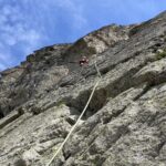
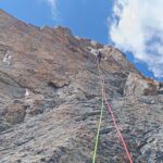
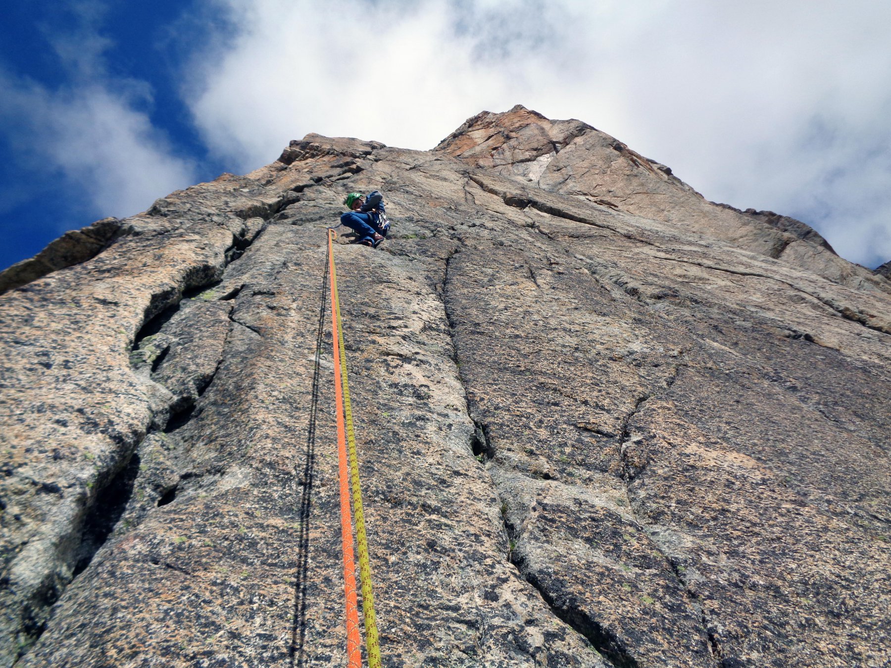
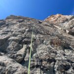
via veramente bella e facile fattibile in un paio d'ore roccia stupenda in un ambiente unico
volendo dopo l'uscita si puo' proseguire a piedi e raggiungere Cristallina Profumo proibito etcc etcc....
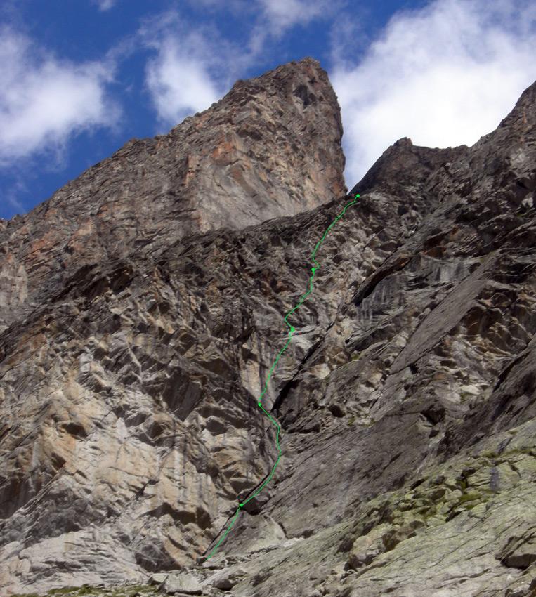
Avvicinamento
volendo dopo l'uscita si puo' proseguire a piedi e raggiungere Cristallina Profumo proibito etcc etcc....
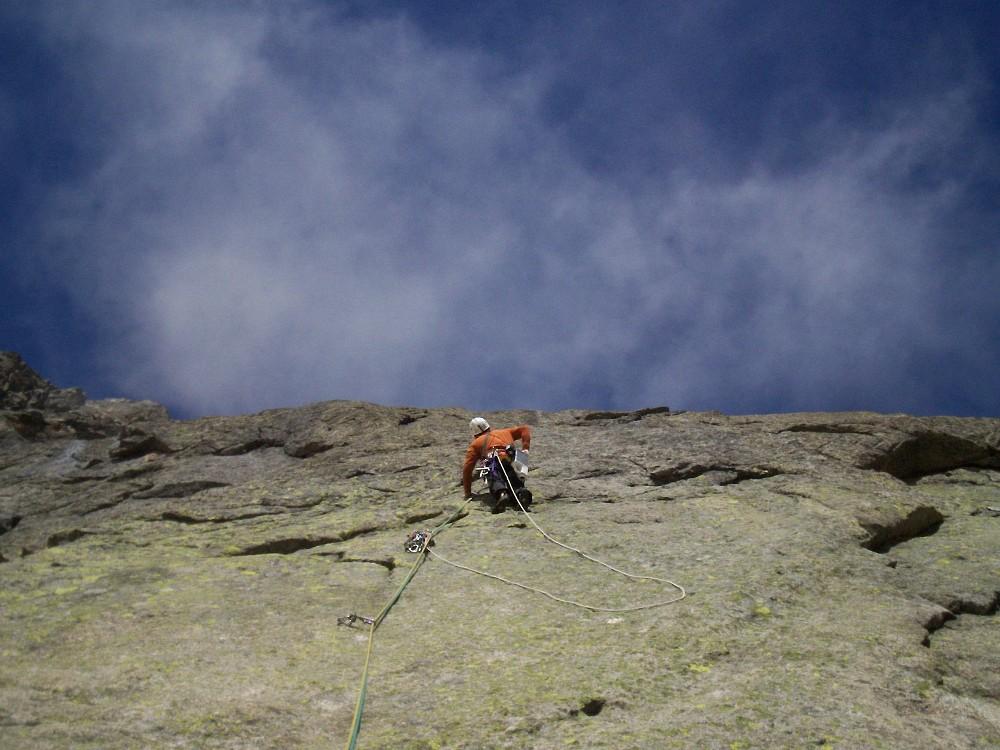
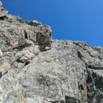
- L1: placca verticale molto interesssante 5+
- L2: dalla cengia dritti su roccia spaccata e poi su placca delicata un po’ aerea passo di 6a
- L3: partenza verticale e poi si appoggia 5+
- L4: il piu’ fisico dei tiri con ribaltamenti comunque ben manigliato 6b
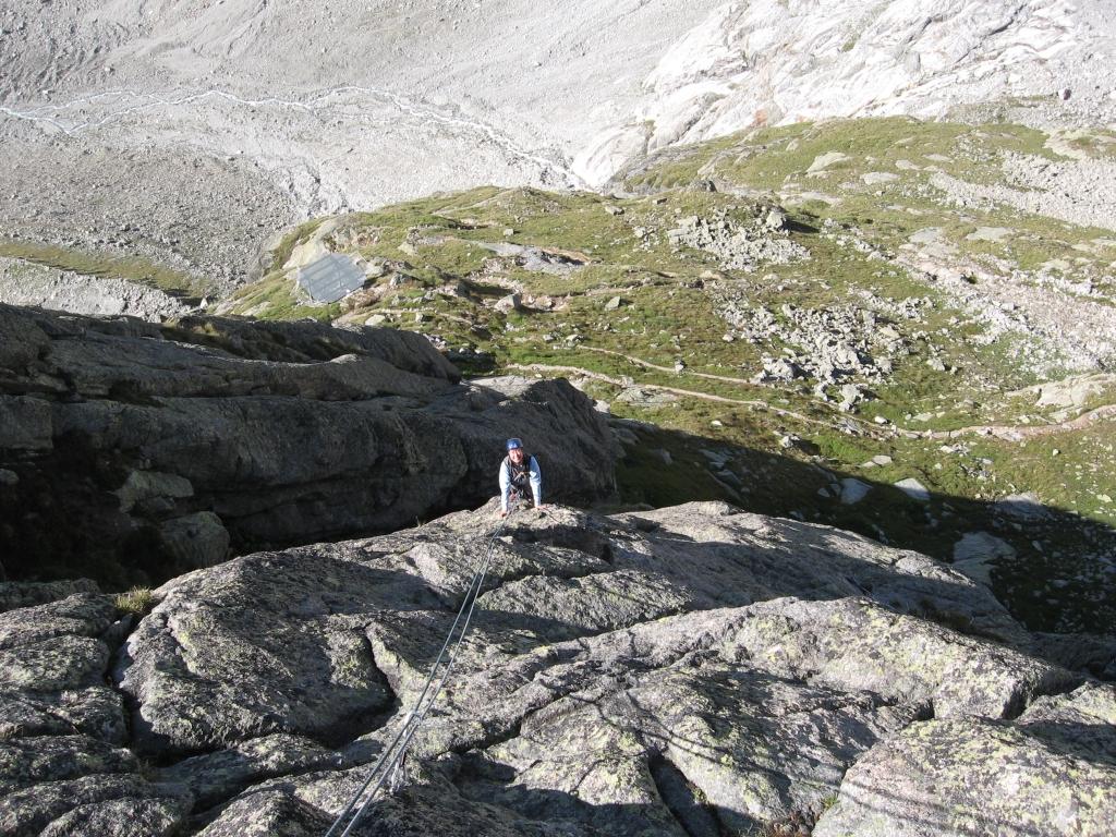
- L5: piacevole e facile come l3
Nelle vicinanze Mappa
Itinerari
08/08/2024 AO, Courmayeur 6b, 6a+ obbl. Sud-Est
Triolet (Monts Rouges de), 2a punta centrale – Vento Polare + We Are the Champion
 0m
0m
09/08/2023 AO, Courmayeur 6b, 6a obbl. Sud
Triolet (Monts Rouges de), Placche della Contea – A Loba Loba
 0m
0m
15/08/2016 AO, Courmayeur 6a, 5b obbl. Sud-Ovest
Triolet (Monts Rouges de) – Il Fabbro ed il Filosofo
 200m
200m
05/07/2025 AO, Courmayeur 6a, 5b obbl. Sud
Triolet (Monts Rouges de), contrafforti del Rifugio Dalmazzi – El Catalàn
 200m
200m
24/06/2025 AO, Courmayeur 5c, 5b obbl. Sud-Ovest
Triolet (Monts Rouges de) – Kermesse folk
 300m
300m
04/07/2026 AO, Courmayeur 5c, 5a obbl. Sud
Triolet (Monts Rouges de), 2a punta centrale – Les Chamois Volant
 300m
300m
02/08/2011 AO, Courmayeur 6c+, 6c+ obbl. Sud-Ovest
Triolet (Monts Rouges de), 2a punta centrale – Tout Fou
400m
16/08/2025 AO, Courmayeur 6b+, 6a obbl. Est
Triolet (Monts Rouges de), 2a punta centrale – Profumo Proibito
 400m
400m
18/06/2017 AO, Courmayeur 6b+, 5c obbl. Sud-Est
Triolet (Monts Rouges de), 2a punta centrale – We Are the Champions
400m
09/07/2026 AO, Courmayeur 6b+, 6a obbl. Est
Triolet (Monts Rouges de), 2a punta centrale – Cristallina
 400m
400m
Servizi
250m
5.3Km
Lavachey Albergo
Courmayeur
6.8Km
Cabane de l’A Neuve Rifugio
La Fouly 7.5Km
7.5Km
Chalet le Dolent B&B
La Fouly 7.7Km
7.7Km
Majya-Joie Ristorante
La Fouly 7.7Km
7.7Km
Auberge de Maya Joie Albergo
La Fouly 7.8Km
7.8Km
Hôtel du Col de Fenêtre Albergo
La Fouly 7.9Km
7.9Km
Zanskar Sport Servizi
La Fouly 8Km
8Km
Auberge des Glaciers Albergo
La Fouly 8Km
8Km