250m
250m
Avvicinamento
 50m
50m
50m
50m
50m
3.7Km
3.7Km
3.7Km
3.7Km
50m
50m
50m
50m
50m
3.7Km
3.7Km
3.7Km
3.7Km
.
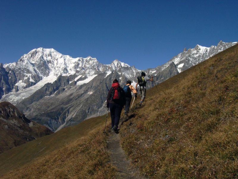
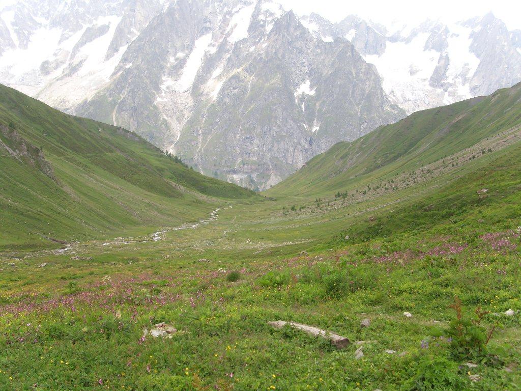
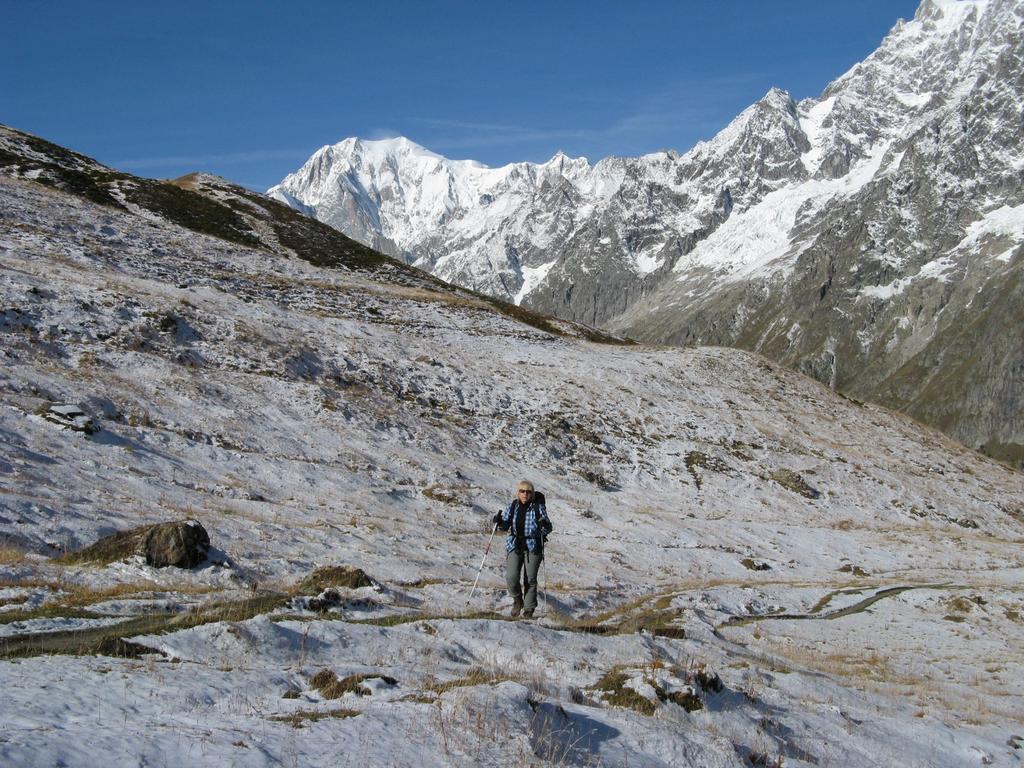
Descrizione
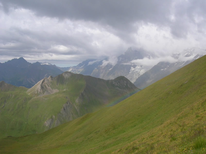
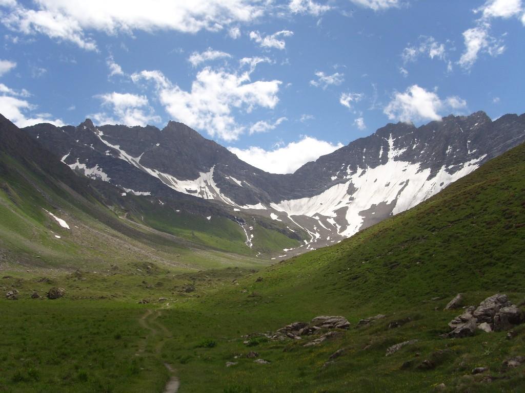
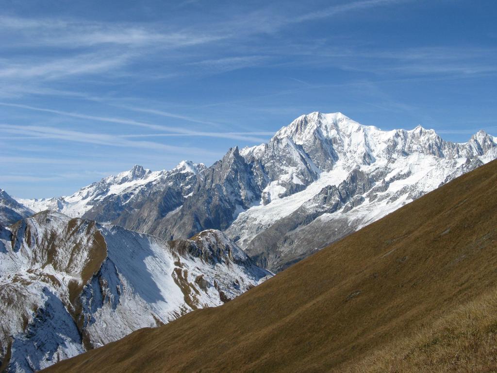
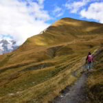
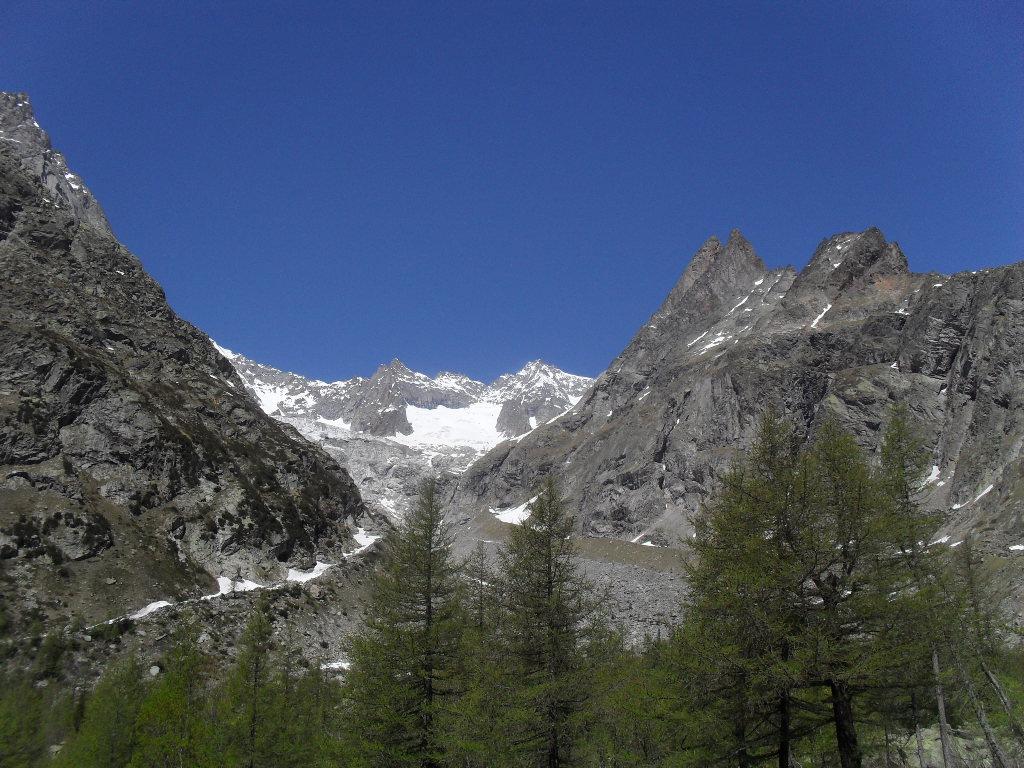
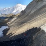
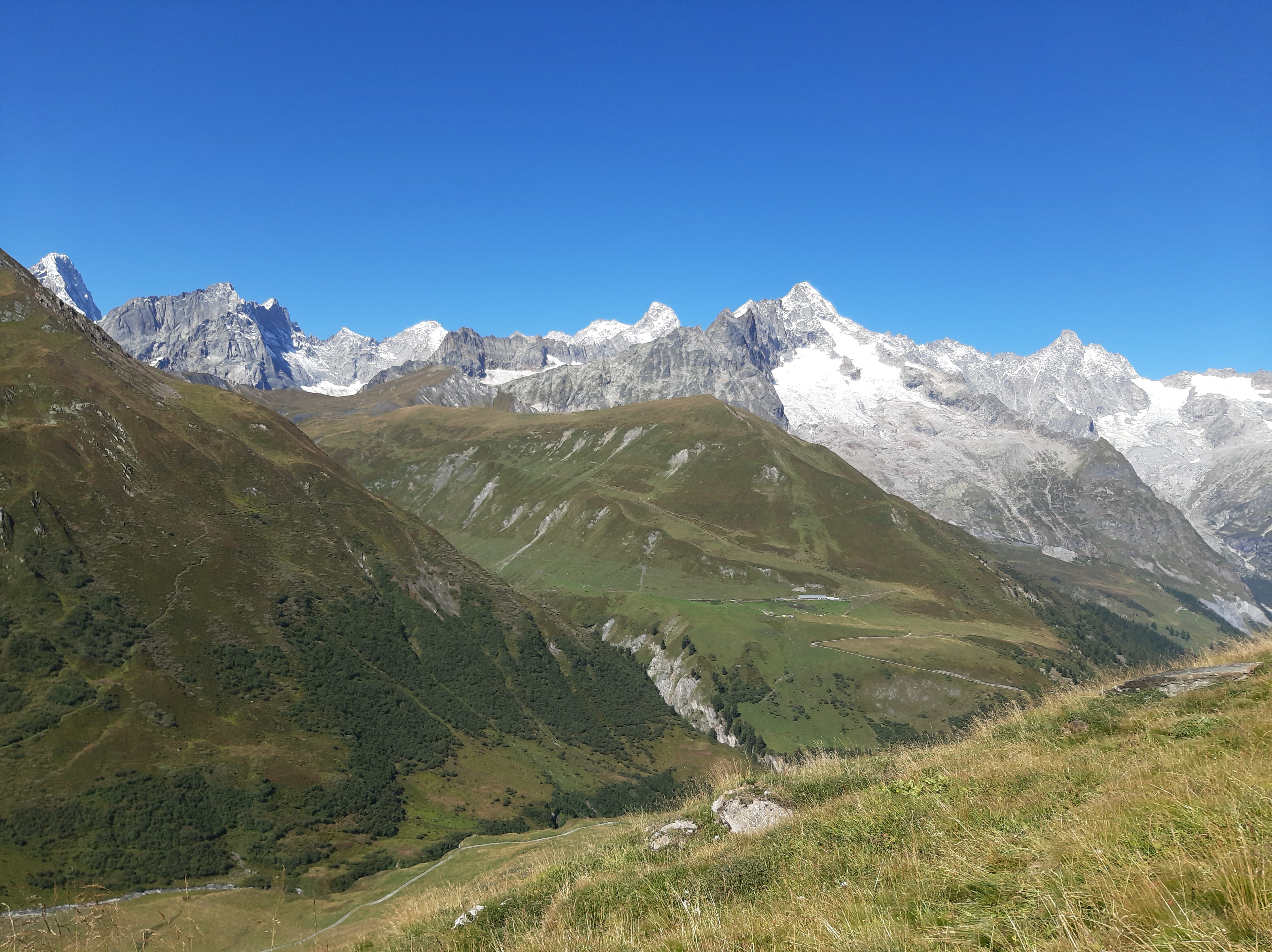
da Lavachey si segue il sentiero per il rifugio Bonatti, si prosegue poi per il vallone di Malatrà, volgendo poi a destra sempre su ottimo sentiero raggiungendo il passo entre deux sauts 2524 m.
Un bivio poco evidente a destra e per un bel sentierino prima sulla dorsale, poi in cresta erbosa, si tocca la vetta (2,30-3 h)
Nelle vicinanze Mappa
Itinerari
13/07/2026 AO, Courmayeur D+ 439 m E Nord-Ovest
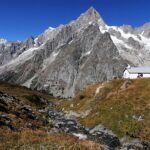
Bonatti Walter (Rifugio) da Lavachey
 50m
50m
04/09/2022 AO, Courmayeur D+ 1050 m E Varie
Entre Deux Sauts (Tète) da Lavachey, anello
 50m
50m
08/08/2016 AO, Courmayeur D+ 1350 m EE Varie
Tronche (Testa della) da Lavachey, anello per Passo Entre Deux Saut e Col Sapin
 50m
50m
19/08/2015 AO, Courmayeur D+ 303 m T Nord
Elena (Rifugio) da Lavachey
 50m
50m
01/10/2021 AO, Courmayeur D+ 1200 m E Nord
Malatrà (Col de) da Lavachey
 50m
50m
02/10/2016 AO, Courmayeur D+ 931 m EE Nord-Ovest
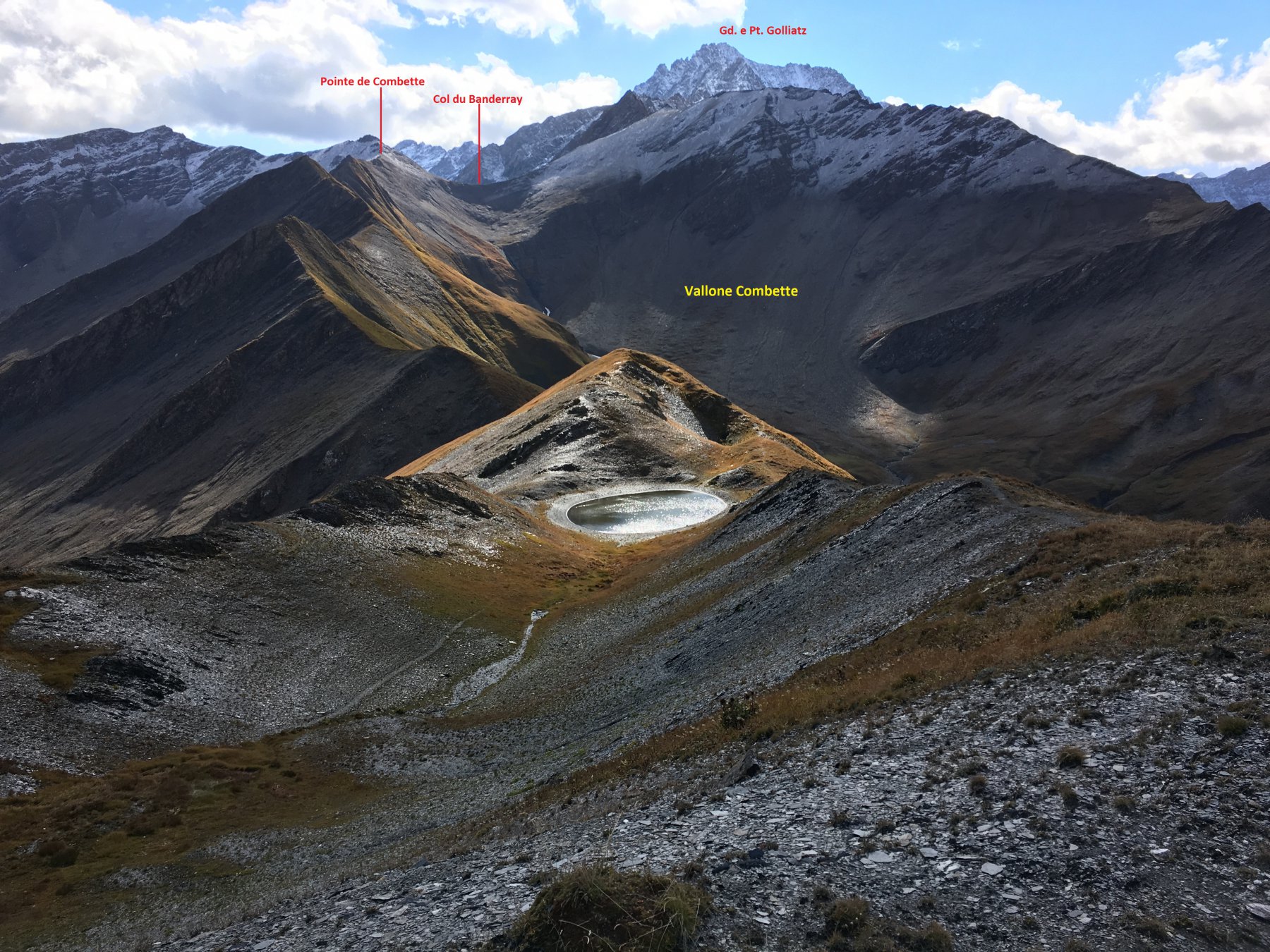
Bandarray (Col du) da Arnouva
 3.7Km
3.7Km
03/09/2025 AO, Courmayeur E Varie
Gran Ferret (Col du) e Col du Petit Ferret da Arnouva, anello
 3.7Km
3.7Km
21/11/2011 AO, Courmayeur D+ 741 m EE Sud
Petit Ferret (Col du) da Arnouva
3.7Km
21/08/2016 AO, Courmayeur D+ 1125 m EEA Varie
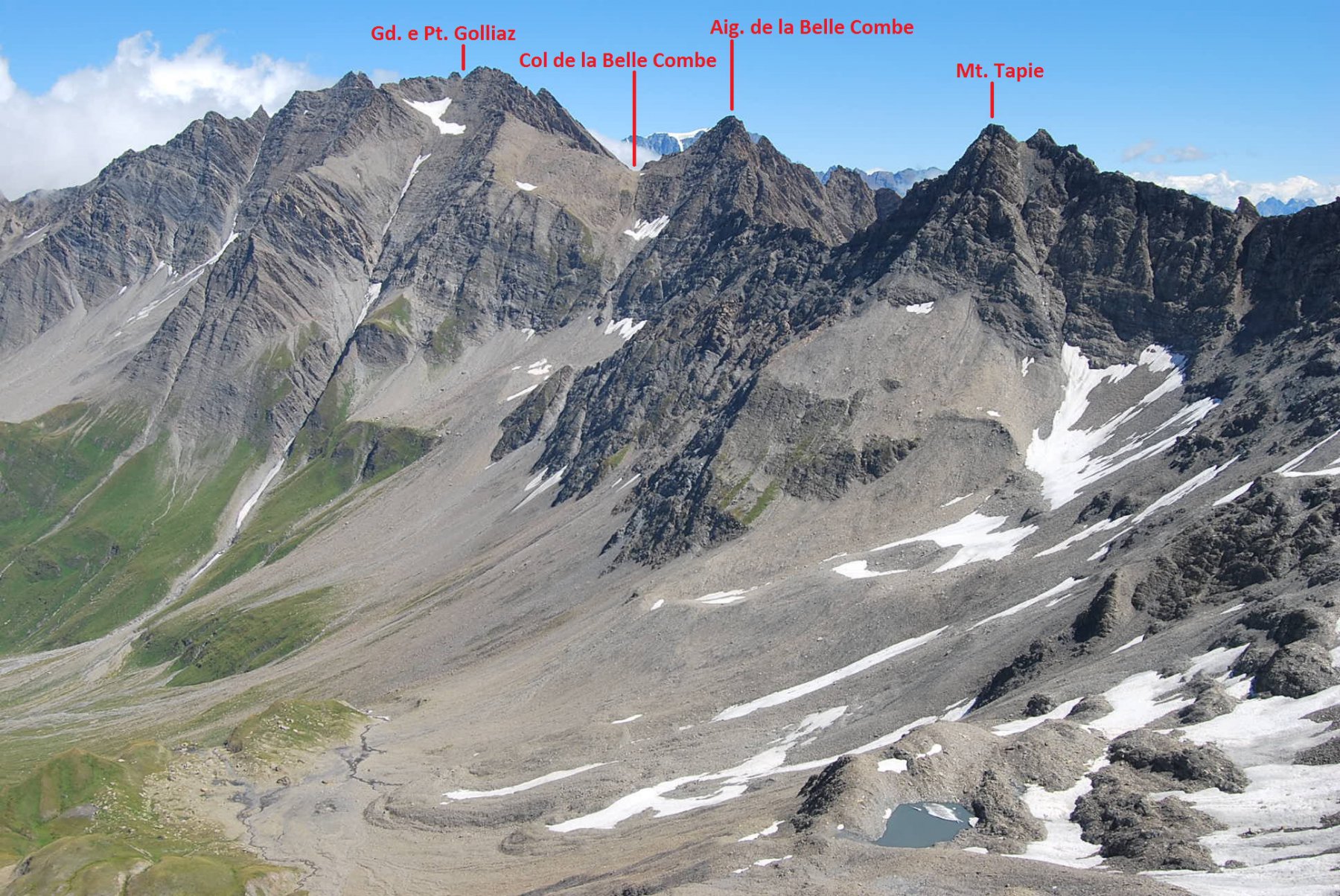
Bellecombe (Vallone) e quota 2890 m da Arnouva, traversata per Vallone Malatrà
 3.7Km
3.7Km
08/07/2011 AO, Courmayeur D+ 1233 m EE Tutte
Chéarfière (Monte) da Arnouvaz, anello per Lavachey
 3.7Km
3.7Km