2.8Km
2.8Km
Note
 0m
50m
50m
700m
1.4Km
3.1Km
0m
50m
50m
700m
1.4Km
3.1Km
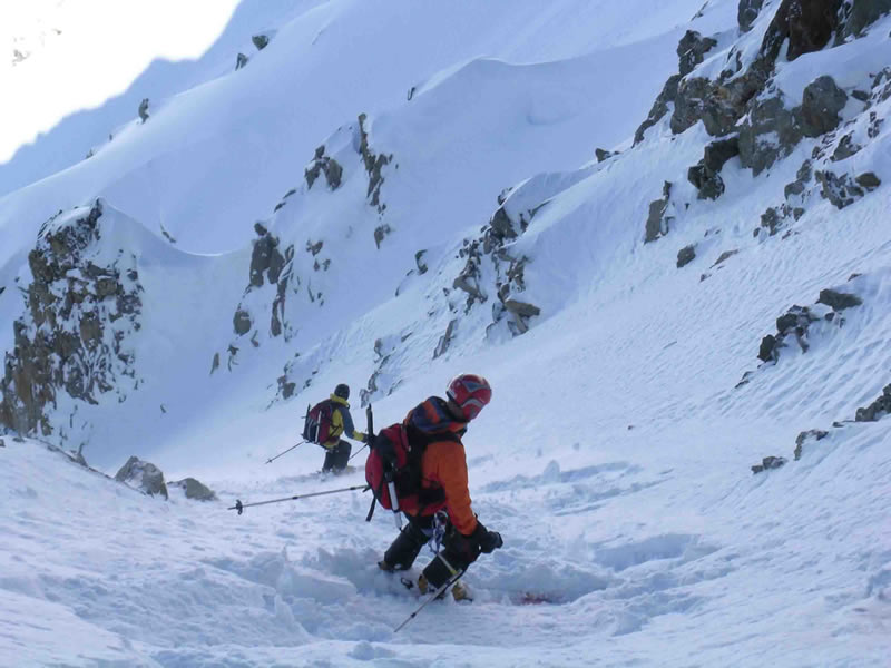
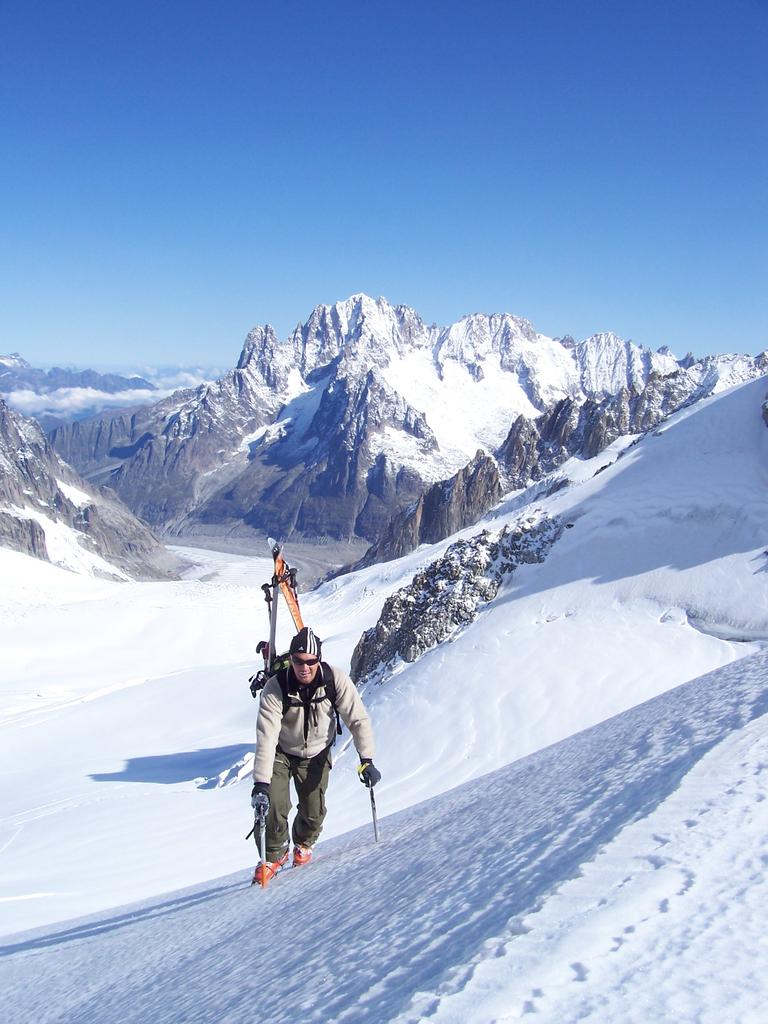
Discesa classica nel settore Helbronner-Toula: canale ripido di facile accesso con funivia.
Avvicinamento
.
Descrizione
Molto semplicemente dalla passerella che esce dalla stazione della funivia di Punta Helbronner sul lato sinistro verso il ghiacciaio del Toula.
Dalla passerella si vedono alcuni canali, quello in questione è il primo.
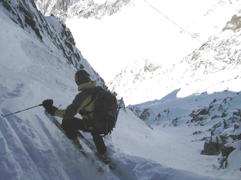
Si possono calzare gli sci direttamente al di là della transenna del passamano della passerella ed entrare nel canale che curva subito leggermente a sinistra.
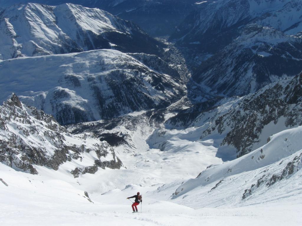
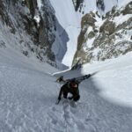
Dopo circa 150 mt si congiunge con un’altro canale da destra; da qui in poi si allarga e prosegue sino al ghiacciaio del Toula.
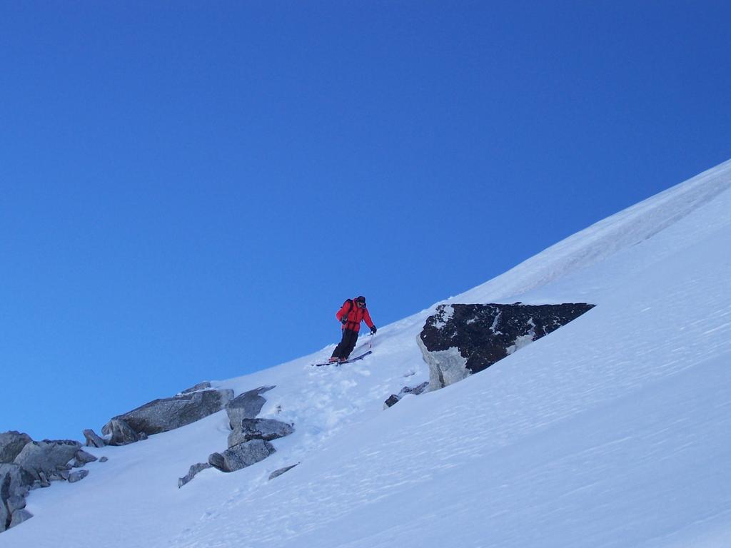
Generalmente non presenta grossi accumuli sulla sommità nè sui lati.
Fare attenzione ad alcune pietre affioranti nel tratto di ingresso.
- Cartografia:
- Monte Bianco
Ultima revisione 17/07/2026
Nelle vicinanze Mappa
Itinerari
15/01/2012 AO, Courmayeur D+ 600 m II, 5.1, E3 Sud-Est
Dente del Gigante (Gengiva) Pendio Sud Est
 0m
0m
15/12/2024 AO, Courmayeur D+ 280 m I, 4.2, E3 Sud-Est
Entrèves (Aiguille d’) da Punta Helbronner
 50m
50m
13/03/2021 AO, Courmayeur D+ 100 m II, 4.1, E2 Sud
Entreves (Colle d’) Versante Sud
50m
10/01/2012 AO, Courmayeur D+ 220 m I, 3.1, E2 Sud-Ovest
Helbronner (Punta) Canale dell’Hangar
50m
07/02/2012 AO, Courmayeur I, 4.2, E2 Sud
Helbronner (Punta) canali
50m
17/02/2025 AO, Courmayeur D+ 2500 m III, 4.2, E2 Sud
Brenva (Ghiacciaio della)
 50m
50m
04/04/2022 Haute-Savoie, Chamonix-Mont-Blanc D+ 184 m III, 4.3, E2 Nord-Ovest
Toules (Aiguilles des) Scivolo Nord
 700m
700m
20/09/2008 Haute-Savoie, Chamonix-Mont-Blanc D+ 134 m 4.1, E2 Nord
Entreves (Aiguille d’) Scivolo N
 1.4Km
1.4Km
16/06/2024 Haute-Savoie, Chamonix-Mont-Blanc D+ 770 m II, 5.2, E2 Ovest
Tour Ronde – Couloir Gervasutti
 3.1Km
3.1Km
08/06/2006 Haute-Savoie, Chamonix-Mont-Blanc 5.3, E4 Nord-Est
Tacul (Col des Aiguilettes du) Parete NE
3.7Km