 1.8Km
1.8Km
Note
 0m
0m
0m
0m
0m
0m
0m
0m
0m
0m
0m
0m
0m
0m
0m
0m
0m
0m
0m
0m
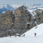
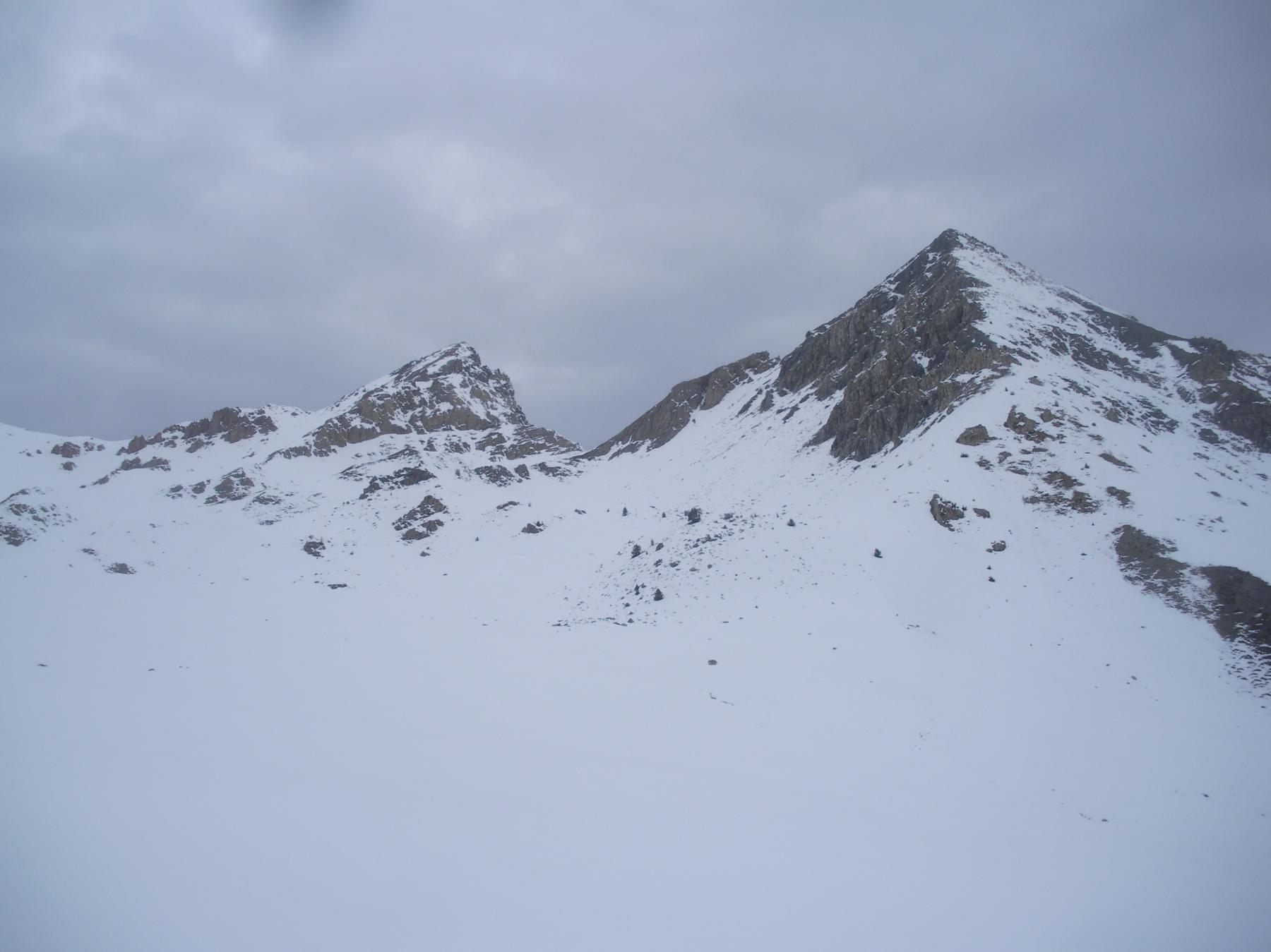
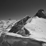
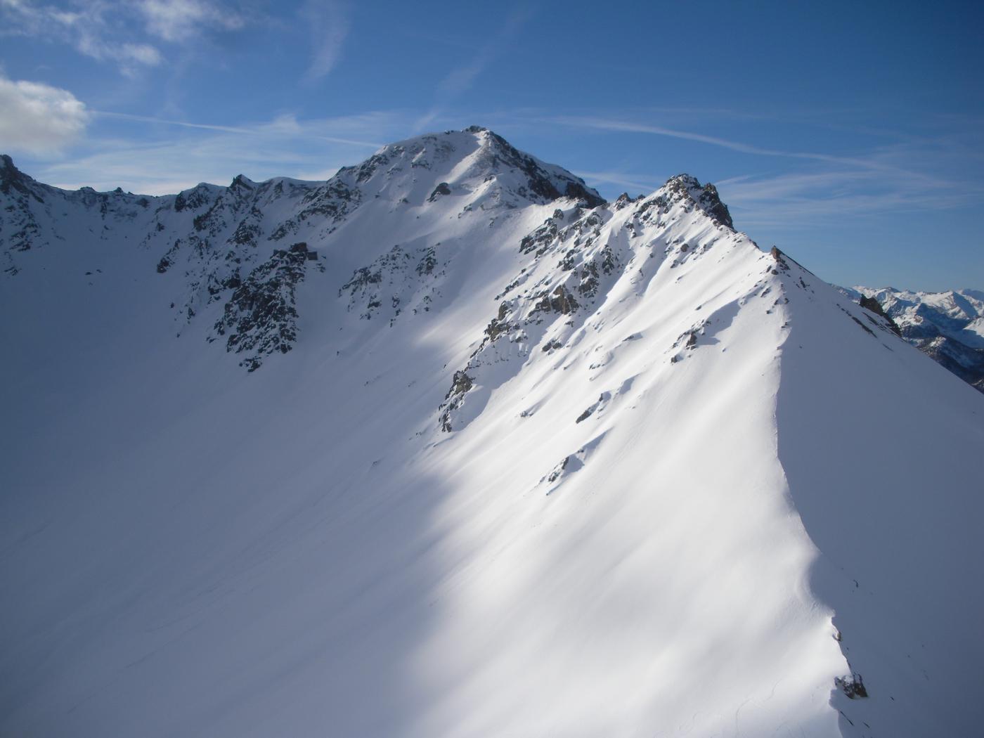
Gita classica descritta già da Treynard. Utili ramponi per gli ultimi metri. Pendenza media 35°, ultimi 100 m 40°.
Avvicinamento
.
Descrizione
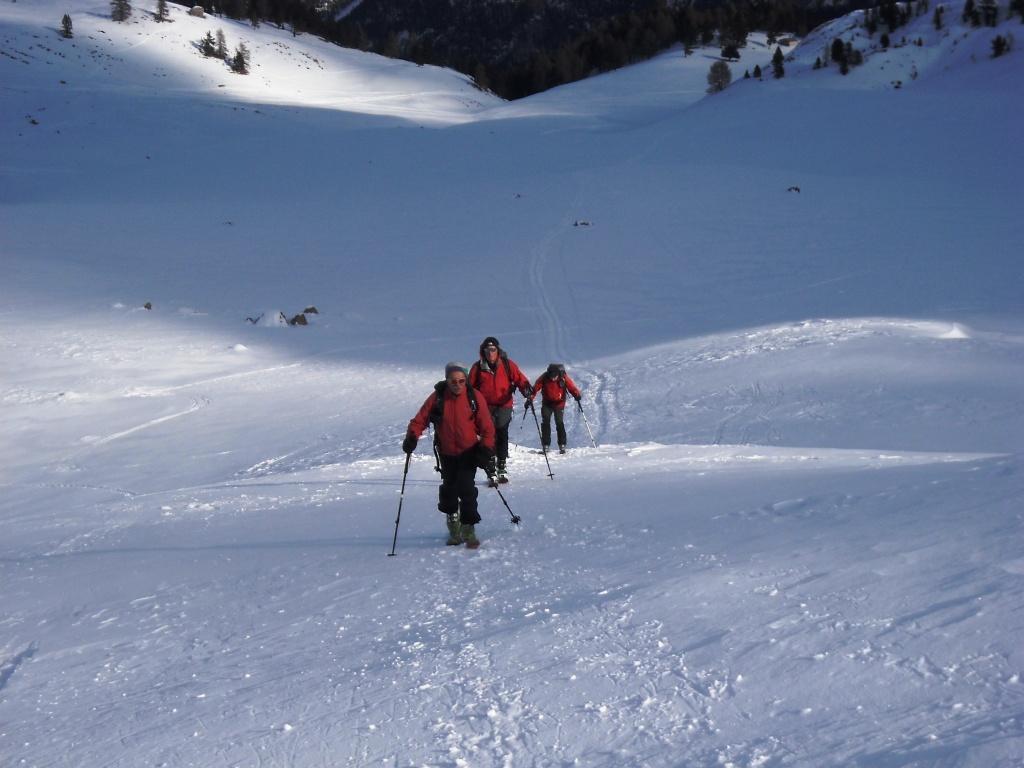
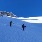
Si parte da Le Laus, prima parte in comune con tutte le gite classiche della zona. Andare verso il col Perdu poi salire a Dx. nel pendio ripido a Nord.
- Cartografia:
- Isoard/ Queyras
- Bibliografia:
- Queyras Louis Volle e L. Tassan
Ultima revisione 15/01/2023
Nelle vicinanze Mappa
Itinerari
02/03/2025 Hautes-Alpes, Cervières D+ 859 m BS Nord
Arpelin (Cime de l’) da le Laus per il Col Perdù
 0m
0m
25/03/2024 Hautes-Alpes, Cervières D+ 1170 m BS Nord
Portes (Col des) da le Laus
 0m
0m
21/01/2023 Hautes-Alpes, Cervières D+ 1090 m BS Varie
Peygus (Col des) spalla quota 2835 m da le Laus
 0m
0m
12/03/2024 Hautes-Alpes, Cervières D+ 987 m BS Nord-Ovest
Clot la Cime da le Laus
 0m
0m
31/12/2018 Hautes-Alpes, Cervières D+ 917 m BSA Nord
Petit Peygu (le) da le Laus
 0m
0m
17/03/2025 Hautes-Alpes, Cervières D+ 650 m MS Nord
Izoard (Col d’) da le Laus
 0m
0m
04/04/2026 Hautes-Alpes, Cervières D+ 1600 m OSA, PD Nord-Ovest
Rochebrune (Pic de) Couloir NO
 0m
0m
01/03/2025 Hautes-Alpes, Cervières D+ 1135 m BS Sud-Ovest
Charvie (Cime de la) cima SO da le Laus
 0m
0m
21/03/2026 Hautes-Alpes, Cervières D+ 1265 m BS Ovest
Turge de la Suffie da le Laus
 0m
0m
30/12/2025 Hautes-Alpes, Cervières D+ 1100 m BS Nord
Cote Belle (Pic ouest de) da le Laus
 0m
0m