200m
200m


Avvicinamento
 50m
1.1Km
1.1Km
1.1Km
1.2Km
1.2Km
1.2Km
1.2Km
1.2Km
1.2Km
50m
1.1Km
1.1Km
1.1Km
1.2Km
1.2Km
1.2Km
1.2Km
1.2Km
1.2Km
.
Descrizione
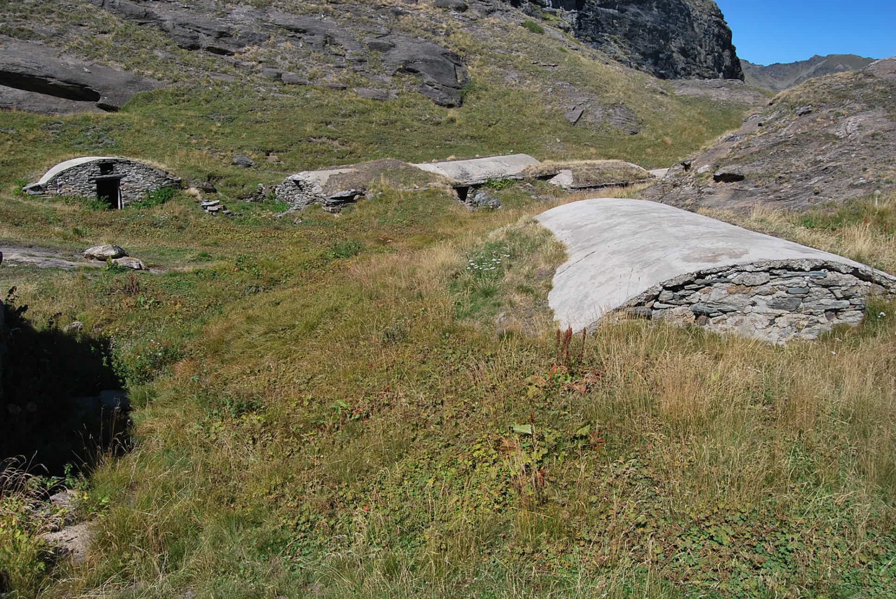
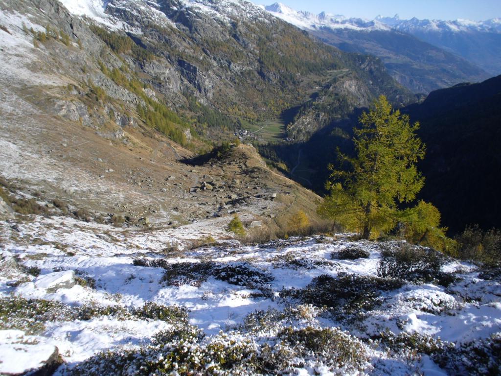
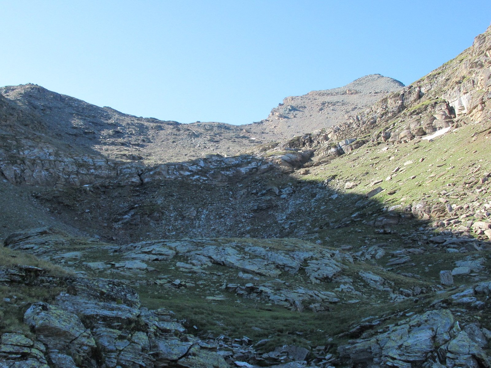
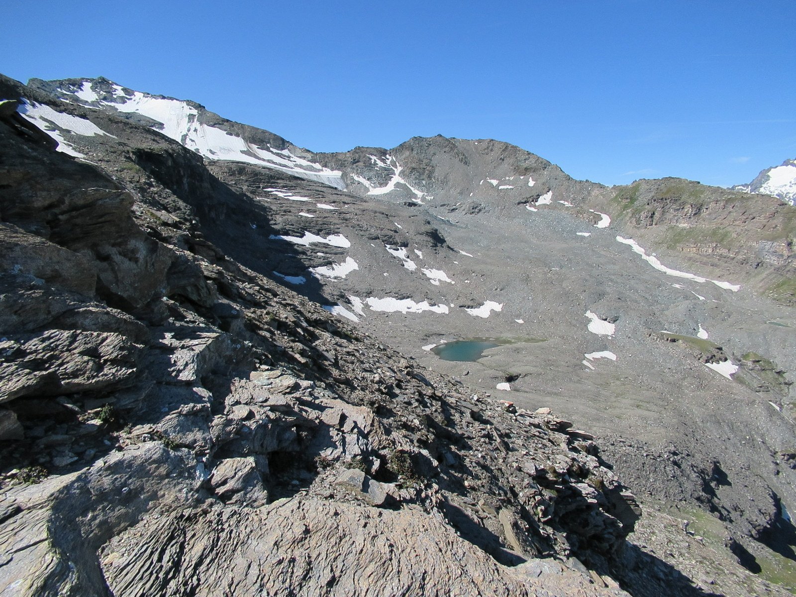
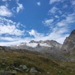
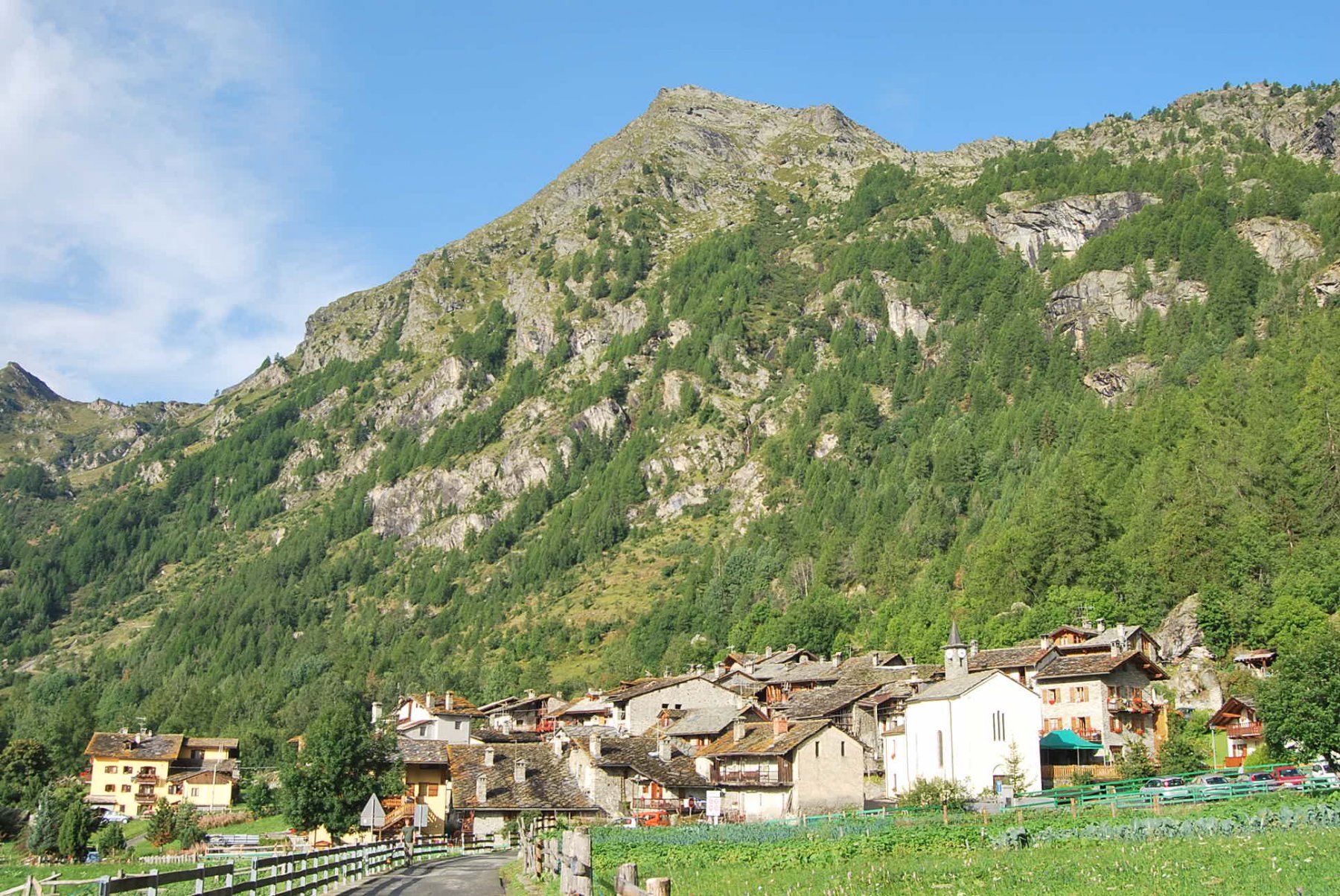
Partenza da Planaval al divieto di accesso della poderale per l’alpeggio Orfeuille comune al sentiero n.19.
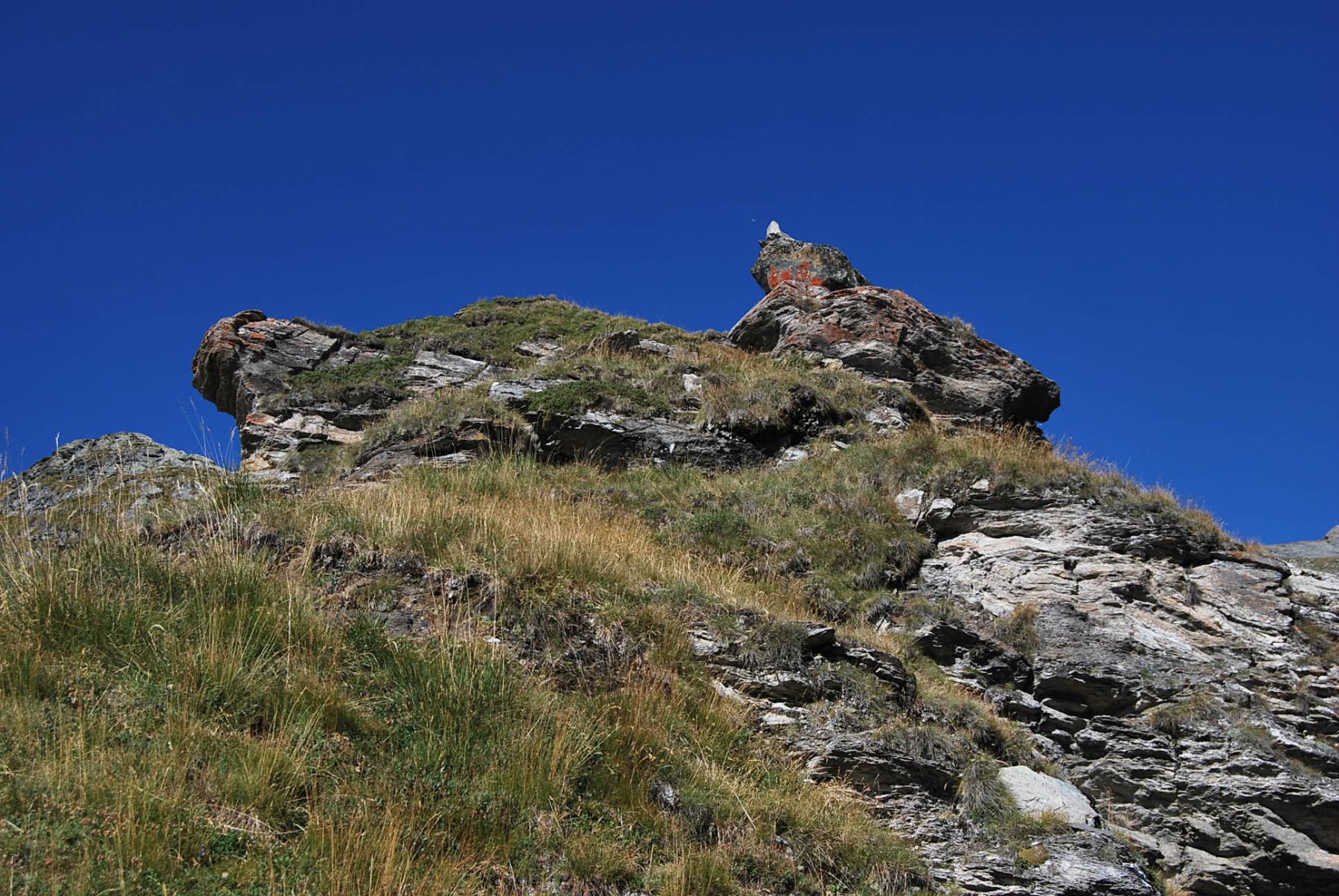
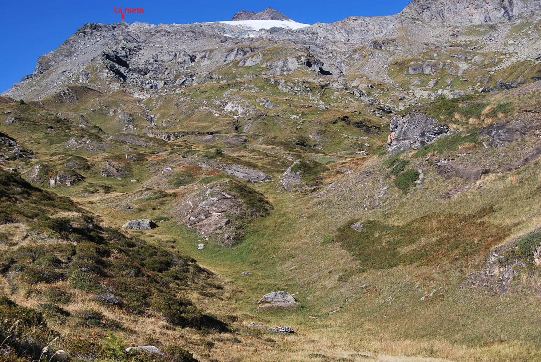
Arrivati ad Orfeuille,sopra la stalla, un ometto indica ,a destra, una traccia che conduce a Plan Petet(mt.2281).
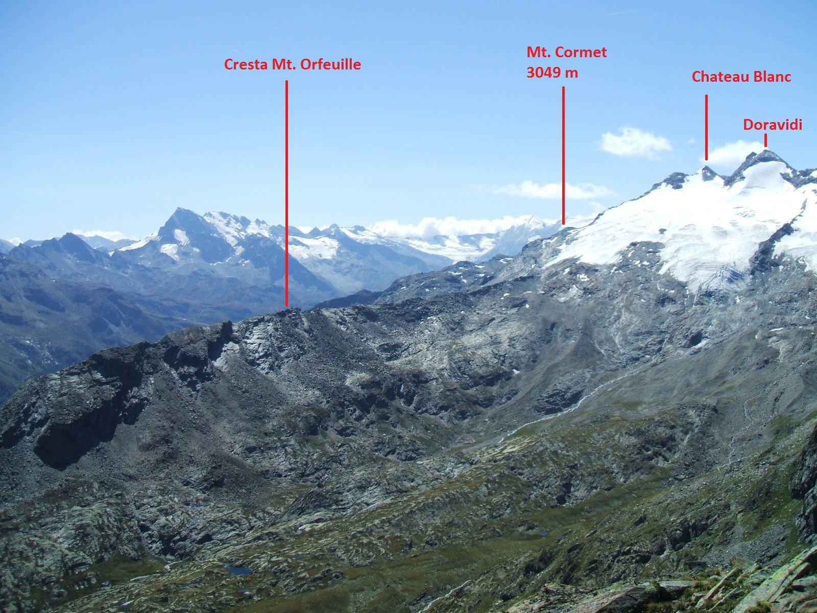
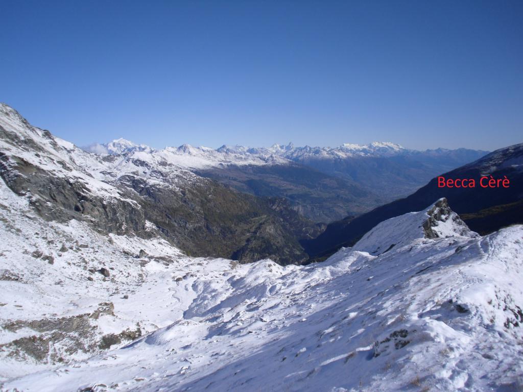
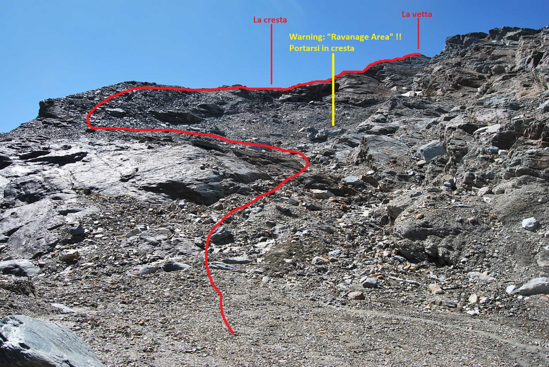
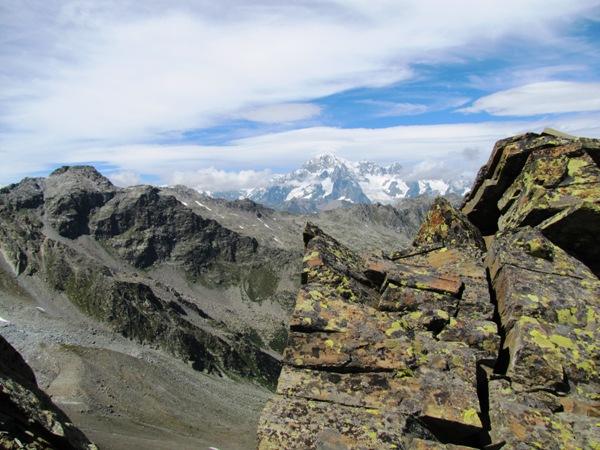
Proseguendo su tracce con ometti si arriva alla vetta della Becca Cèrè (mt.2431).
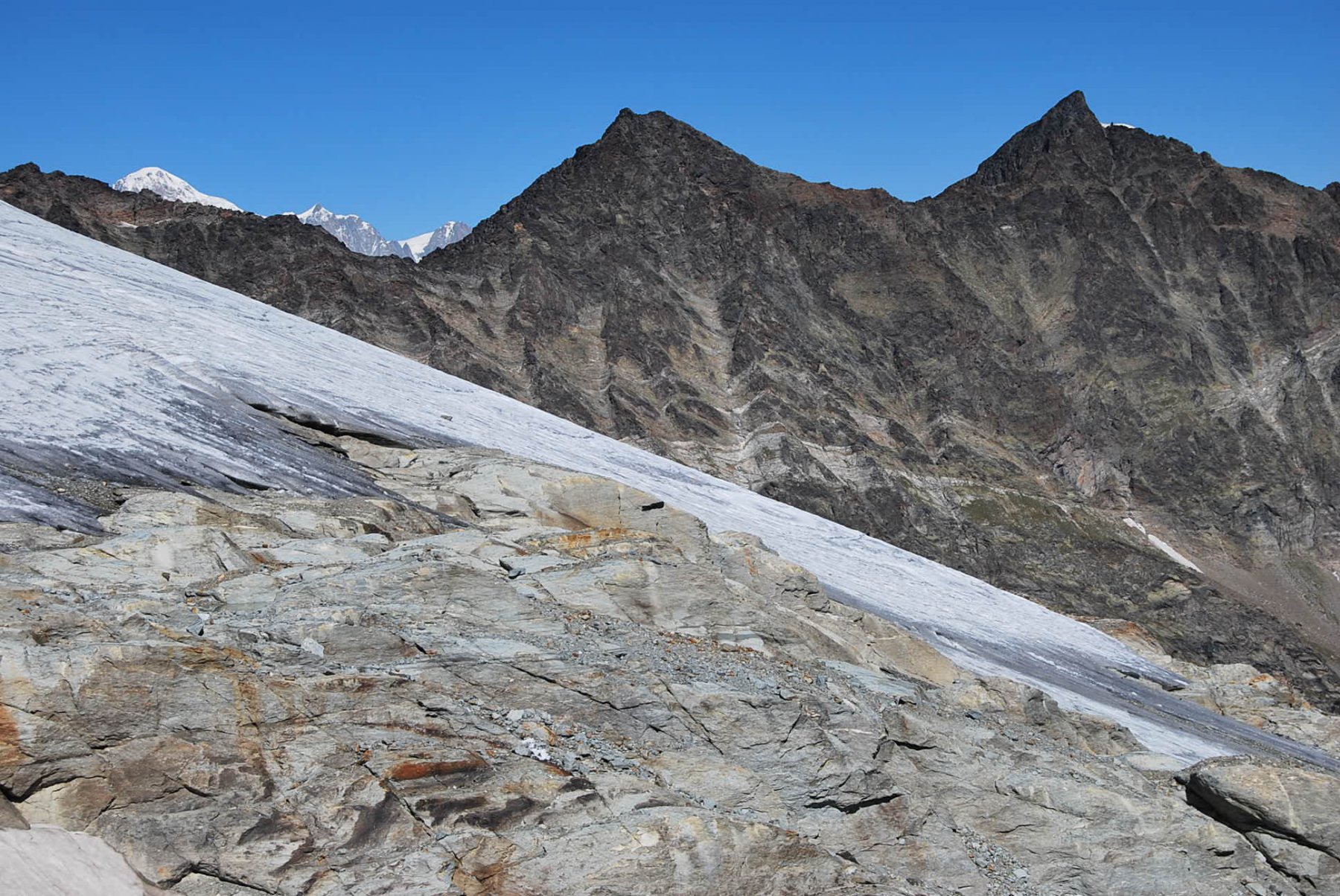
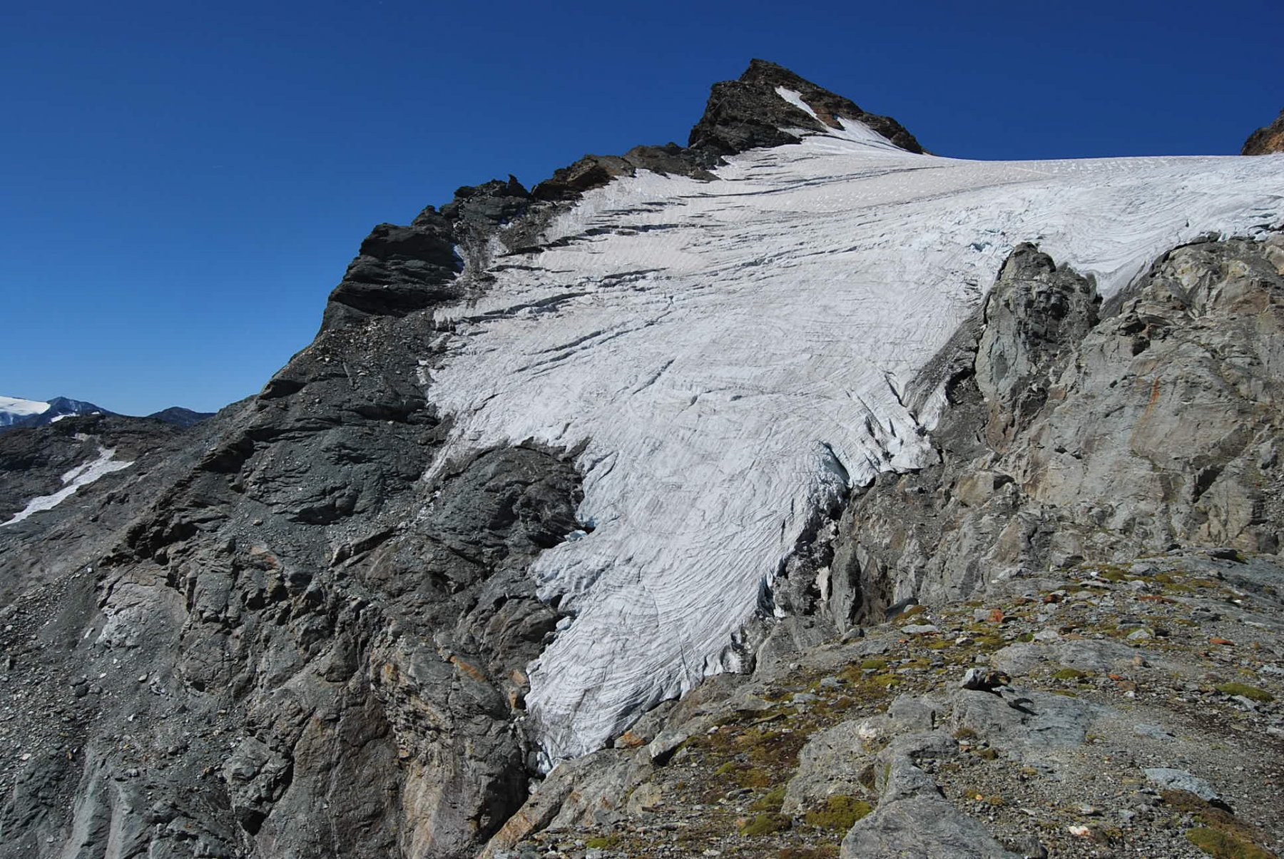
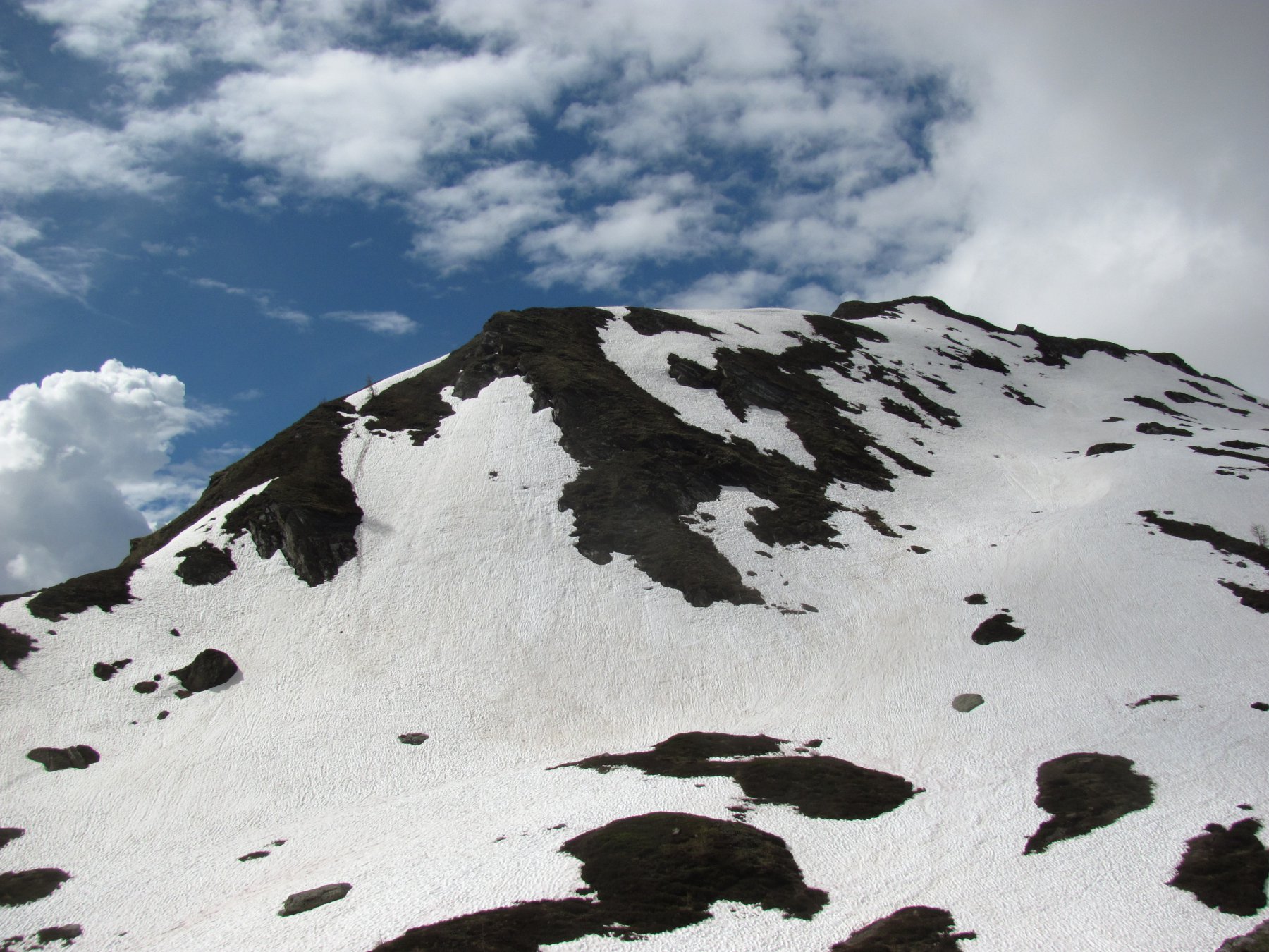
Innalzandosi per cresta si raggiunge con traccia,ometti e successivamente dossi nevosi,il Mont Cornet,spalla naturale del ghiacciaio dello Chateau Blanc.
Nelle vicinanze Mappa
Itinerari
14/10/2025 AO, Valgrisenche D+ 871 m EE Nord
Céré (Becca di) da Planaval
 50m
50m
10/07/2021 AO, Valgrisenche D+ 1636 m EE Nord-Ovest
Grand Revers da Revers per Boregne
 1.1Km
1.1Km
11/08/2018 AO, Valgrisenche D+ 1395 m EE Varie
Verconey (Becca di) da Revers per l’Alpe di Boregne
 1.1Km
1.1Km
11/08/2018 AO, Valgrisenche D+ 1771 m EE/F Varie
Tos (Becca di) da Revers, anello per Maison Forte e Plantèe
 1.1Km
1.1Km
21/08/2024 AO, Arvier D+ 2400 m EE Tutte
Planaval, Crosatie, Passo Alto (Colli) da Planaval, giro del Monte Paramont
 1.2Km
1.2Km
26/07/2025 AO, Arvier D+ 952 m EE Sud
Tour Ronde da la Clusaz
 1.2Km
1.2Km
11/09/2025 AO, Arvier D+ 1300 m E Sud
Crosatie (Punta e Col de la) da Planaval
 1.2Km
1.2Km
15/08/2022 AO, Arvier D+ 1379 m EEA Sud-Est
Planaval (Passo di) da Planaval
 1.2Km
1.2Km
14/08/2017 AO, Arvier D+ 1155 m EE Sud-Est
Paramont (Col de) da la Planaval
 1.2Km
1.2Km
26/08/2017 AO, Avise D+ 1159 m EE Varie
Orfeuille (Mont) da Planaval
 1.2Km
1.2Km