 2.8Km
2.8Km
Note
 22.3Km
28Km
22.3Km
28Km
2.8Km
4.6Km
6.5Km
7.3Km
7.9Km
7.9Km
8.2Km
8.5Km
8.8Km
9.1Km
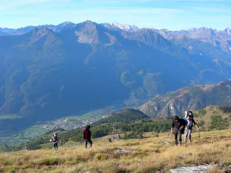
Il decollo è possibile praticamente da quota 2000 fino alla cima in qualunque punto della cresta erbosa.
Panorama notevole sulla Valle centrale, dopo il decollo tutto il dislivello è sotto di voi senza valli, dossi o altri ostacoli.
L’atterraggio scelto è il prato a sud dell’hotel La Rocca, è ampio ma non bellissimo: molti ostacoli (case, capannoni e alberi) tutto intorno, paletti piantati sul terreno e vacche al pascolo, quindi fate molta attenzione! Dovrebbe essere possibile individuarne uno migliore, vi faremo sapere.
Ottime possibilità per veleggiare.
Per ulteriori informazioni contattare la scuola di volo SPARAVEL: [email protected]
Avvicinamento
Panorama notevole sulla Valle centrale, dopo il decollo tutto il dislivello è sotto di voi senza valli, dossi o altri ostacoli.
L’atterraggio scelto è il prato a sud dell’hotel La Rocca, è ampio ma non bellissimo: molti ostacoli (case, capannoni e alberi) tutto intorno, paletti piantati sul terreno e vacche al pascolo, quindi fate molta attenzione! Dovrebbe essere possibile individuarne uno migliore, vi faremo sapere.
Ottime possibilità per veleggiare.
Per ulteriori informazioni contattare la scuola di volo SPARAVEL: [email protected]
,
Descrizione
L’atterraggio si trova facilmente uscendo al casello di Chatillon, girando a destra e poi subito ancora a destra in discesa e superando l’edificio dell’hotel La Rocca. Il prato è adiacente all’edificio dell’hotel e di fianco alla strada.
Per la salita allo Zerbion usate l’itinerario che preferite, vi sono molte possibilità a seconda delle preferenze incluse un paio di strade sterrate … per chi ha il permesso di transito. Da 1800m circa, gli itinerari convergono sulla cresta sud-ovest da cui è possibile decollare quasi ovunque appena superato il bosco (oltre quota 2000m). Sulla cima vera e propria il pendio è molto ripido, meglio utilizzare i prati qualche metro più in basso.
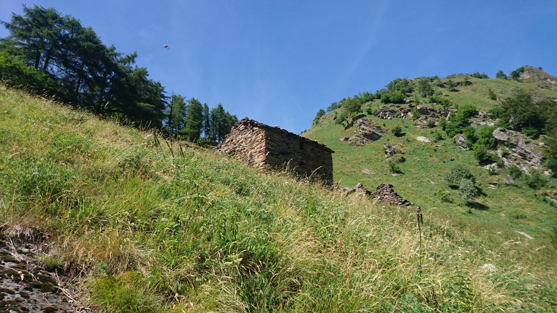
Attenzione: chiedete il permesso al proprietario del terreno, la casa e la stalla sono sul bordo del terreno stesso. Vi concederà di calpestare il prato senza problemi, purché non centriate le mucche!
- Cartografia:
- IGC foglio 5 Cervino e Monte Rosa
Nelle vicinanze Mappa
Itinerari
20/10/2008 AO, Gressoney-la-Trinitè D+ 2700 m Sud
Castore dal Colle Bettaforca
 22.3Km
05/09/2016 TO, Ronco Canavese D+ 600 m Est
Saudi (Grangia) da Scandosio
 28Km
28Km
Servizi
2.8Km
4.6Km
Lavesè Ristorante
Saint-denis
6.5Km
Lo scoiattolo Ristorante
La Magdeleine
7.3Km
Boule de neige B&B
Antey Saint Andrè
7.9Km
Nigra Albergo
Montjovet
7.9Km
Jour et Nuit Ristorante
Torgnon
8.2Km
Da Vincenzo Ristorante
Montjovet
8.5Km
Mathamel Giorgio B&B
Verrayes
8.8Km
Maison de Suis B&B
Chamois
9.1Km