 2.2Km
2.2Km
Note
 50m
2.8Km
3.2Km
3.8Km
4.8Km
4.8Km
4.8Km
4.8Km
4.8Km
4.8Km
50m
2.8Km
3.2Km
3.8Km
4.8Km
4.8Km
4.8Km
4.8Km
4.8Km
4.8Km
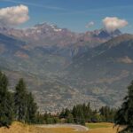
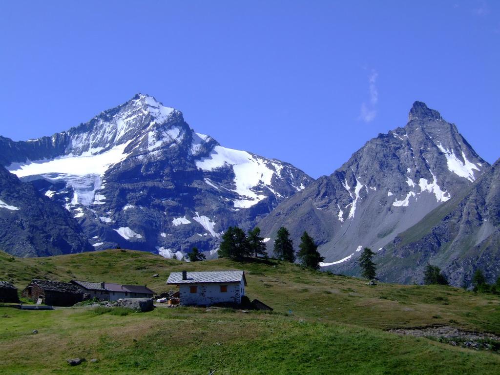
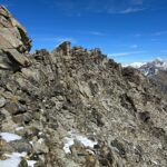
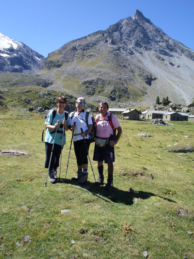
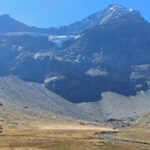
Itinerario ad anello con sviluppo e dislivelli impegnativi (circa 22 km e 2100 m di dislivello) a carattere escursionistico fino all’anticima (o vetta sci alpinistica) della punta Valletta a quota 3007 metri. Da qui parte il sentiero attrezzato con cavo metallico che porta alla croce di vetta a quota 3091 metri. L’esposizione di alcuni singoli passi consiglia prudenza e l’utilizzo di materiale specifico di sicurezza.
Avvicinamento
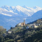
Da Aosta strada Statale 26 in direzione Courmayeur fino a Sarre, poi strada Regionale 47 in direzione di Cogne. Al Km 6 bivio sulla sinistra in direzione Ozein Turlin, si sale oltrepassando il villaggio di Ozein e si arriva al parcheggio di Turlin dove si lascia l'auto.
Descrizione
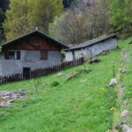
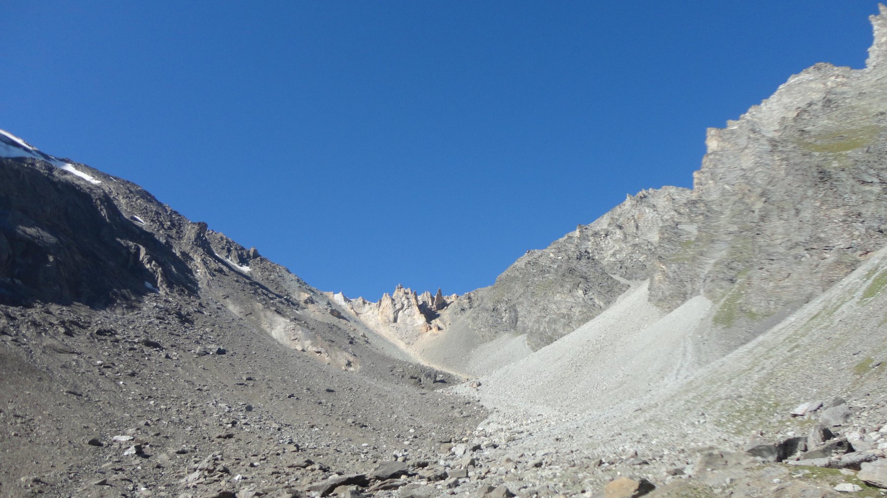
Dal parcheggio di Turlin (1537) si prende il sentiero che si snoda nel bosco a monte delle case in direzione Pointe de la Pierre passando prima per l’alpeggio di Rond Perrin (1870) poi per l’alpeggio di Champchenille (2208) dove si esce dal bosco e si vede la sommità. Arrivati in vetta a Pointe de la Pierre (2653) si percorre la lunghissima cresta con vari saliscendi che portano a toccare nell’ordine la Pointe du Drinc (2663), il bivacco Arno (2662), la Platta di Grevon (2752), la Pointe de Monpers (2793) e il colle di Tsa Seche (2815). Dal colle con una risalita di circa 200 metri si guadagna l’anticima della Valletta (3007) dove inizia il tratto attrezzato che porta alla vetta vera e propria (3091) caratterizzata da una croce metallica. Discesa per la parte alta della crete Noire fino nei pressi della Tete Noire (2820) poi per sentiero fino all’arrivo degli impianti di Chamolé (2310), quindi si attraversa per piste e stradine sterrate tutto il comprensorio sciistico di Pila fino ad arrivare all’alpeggio Grimondet (2105). Dall’alpeggio si continua con percorso pianeggiante fino ad arrivare alle baite di Chaz Liautaysaz (2065) oltrepassate le quali il sentiero scende decisamente nei boschi sopra le case di Brin incrociando più volte la strada poderale. Prima di giungere alle case si prende la diramazione di sinistra del sentiero (palina segnaletica con direzione Turlin) e con un altro lungo tratto pianeggiante ci si ricongiunge al sentiero di salita appena sopra il parcheggio di Turlin.
Nelle vicinanze Mappa
Itinerari
17/07/2025 AO, Aymavilles D+ 297 m T Nord
Pila da Turlin
 50m
50m
09/07/2025 AO, Aymavilles D+ 1176 m E Ovest
Pierre (Pointe de la) da Ozein, anello
 2.8Km
2.8Km
05/03/2022 AO, Aymavilles D+ 583 m T Varie
Cammino Balteo tappa n.18 da Aymavilles ad Aosta
 3.2Km
3.2Km
09/11/2025 AO, Aymavilles D+ 941 m E Sud-Est
Poignon (Mont) da Aymavilles, anello per Petit Poignon
 3.8Km
3.8Km
18/10/2020 AO, Aymavilles D+ 1250 m E Nord
Gontier Mario (Bivacco) all’Alpe Gran Nomenon da Vieyes
 4.8Km
4.8Km
30/09/2025 AO, Aymavilles D+ 2000 m EE/F Nord-Ovest
Trajo (Punta del) da Vieyes per il Bivacco Gontier
 4.8Km
4.8Km
03/08/2017 AO, Aymavilles D+ 1625 m EE Nord
Trajo (Colle del) da Vieyes
 4.8Km
4.8Km
10/05/2025 AO, Aymavilles D+ 1115 m E Varie
Becca Piana (Colle di) da Vieyes
 4.8Km
4.8Km
31/10/2022 AO, Aymavilles D+ 925 m E Nord-Est
Becca Plana (Col de) da Sylvenoire, anello per il Bivacco Gontier
 4.8Km
4.8Km
19/08/2017 AO, Aymavilles D+ 1775 m EE/F Nord
Belleface (Colle di) da Sylvenoire
 4.8Km
4.8Km