2.8Km
2.8Km
Note
 50m
1.8Km
1.8Km
1.8Km
1.8Km
1.8Km
1.8Km
1.8Km
2.9Km
2.9Km
50m
1.8Km
1.8Km
1.8Km
1.8Km
1.8Km
1.8Km
1.8Km
2.9Km
2.9Km
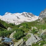
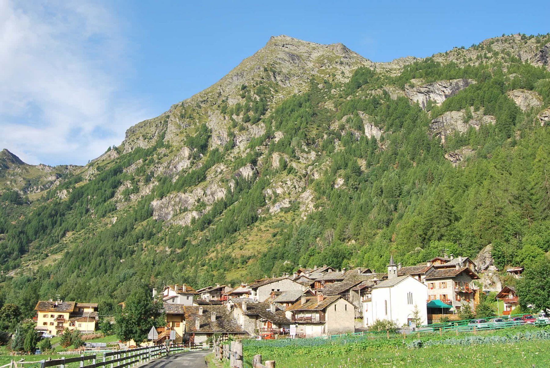
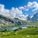
Si parte dal delizioso villaggio di Baulin posto a breve distanza da Planaval di Arvier
Avvicinamento
,
Descrizione
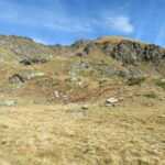
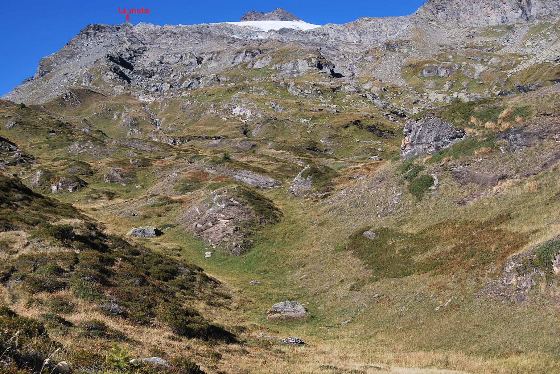
Si segue il sentiero posto immediatamente a monte del villaggio che sale rapidamente con ampie vedute panoramiche sulla Valgrisenche; scavalca il Ru de Runaz e si sposta a mezza costa verso ovest per poi risalire in una valletta con torrentello fino a giungere nei pressi di un rudere (2318 m) al sentiero 20B per il col de Faveroy. Si segue brevemente il sentiero per volgere decisamente a settentrione verso il col de Tignet; si attraversa una pietraia e si risale un ripido pendio erboso-detritico che porta in cresta a circa 2600 m di quota (fin qui circa 2 ore di cammino).
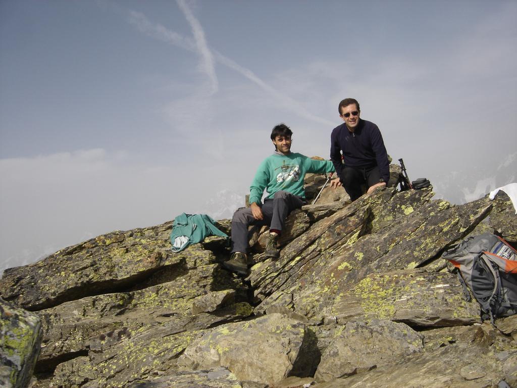
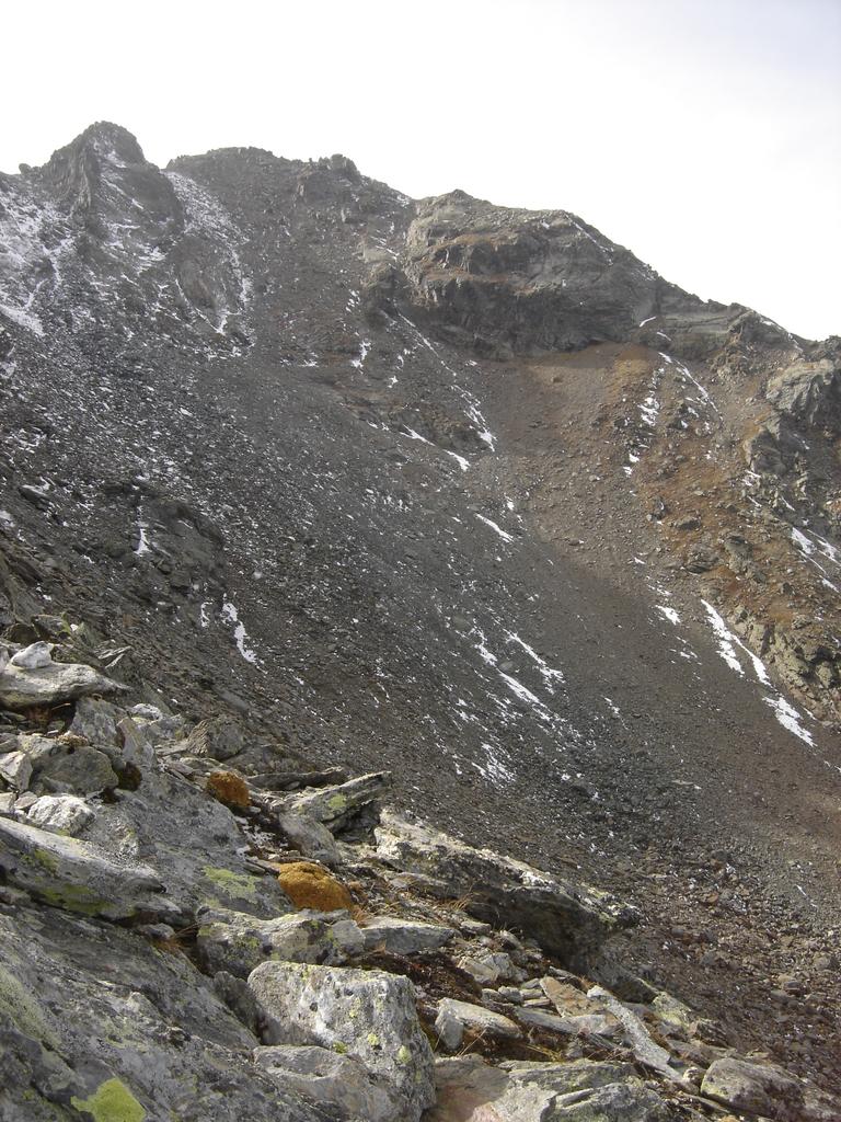
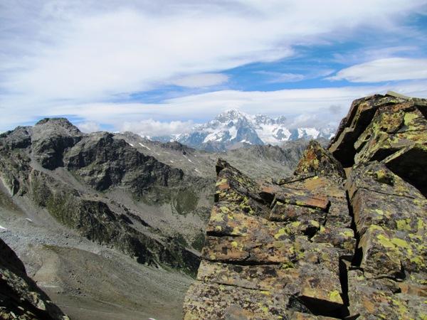
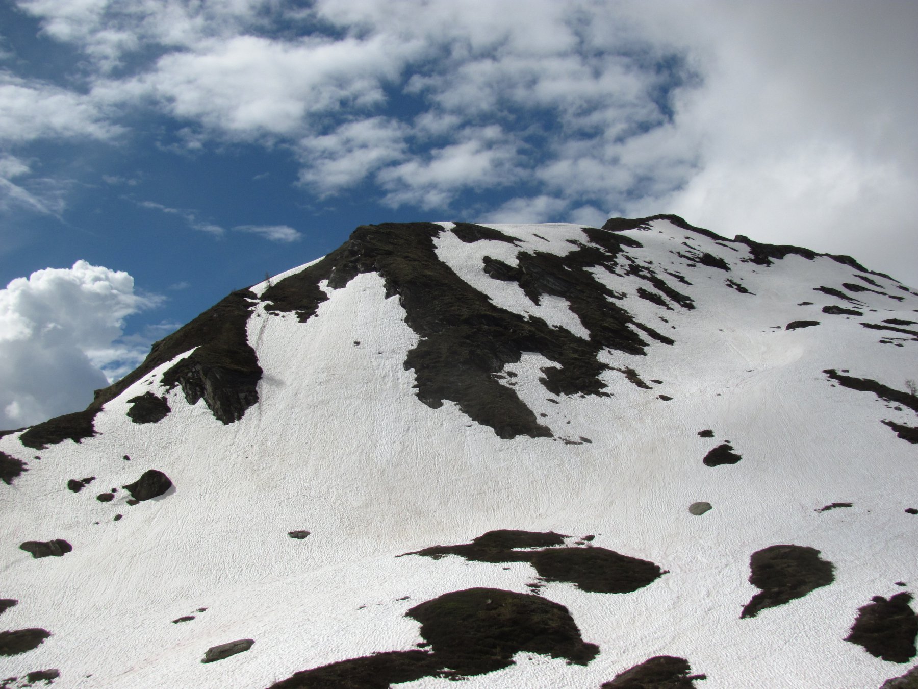
A questo punto invece di seguire la difficoltosa cresta ovest si consiglia di intrapprendere un lungo mezzacosta all’incirca alla stessa quota (2550-2600) sul versante nord-est/nord alla base della suddetta cresta fino a giungere in un immensa pietraia alla base della parete nord-est della Torre Tignet. A questo punto non resta che risalire la faticosa ripida parete per detriti e sfasciumi mobili che senza difficoltà alpinistiche ma con molta fatica porta in vetta a questa cima molto panoramica. Calcolare almeno 3 ore 30′ in tutto.
- Cartografia:
- L'scursionista editore-Carta 2 La Thuile
Nelle vicinanze Mappa
Itinerari
22/10/2023 AO, Avise D+ 950 m E Varie
Faveroy (Col) da Baulin, anello
 50m
50m
16/06/2026 AO, Arvier D+ 780 m E Sud
Fond (Lac du) da Planaval
 1.8Km
1.8Km
26/08/2017 AO, Avise D+ 1159 m EE Varie
Orfeuille (Mont) da Planaval
 1.8Km
1.8Km
14/08/2017 AO, Arvier D+ 1155 m EE Sud-Est
Paramont (Col de) da la Planaval
 1.8Km
1.8Km
11/09/2025 AO, Arvier D+ 1300 m E Sud
Crosatie (Punta e Col de la) da Planaval
 1.8Km
1.8Km
15/08/2022 AO, Arvier D+ 1379 m EEA Sud-Est
Planaval (Passo di) da Planaval
 1.8Km
1.8Km
26/07/2025 AO, Arvier D+ 952 m EE Sud
Tour Ronde da la Clusaz
 1.8Km
1.8Km
21/08/2024 AO, Arvier D+ 2400 m EE Tutte
Planaval, Crosatie, Passo Alto (Colli) da Planaval, giro del Monte Paramont
 1.8Km
1.8Km
22/08/2016 AO, Arvier D+ 1478 m EE Nord-Est
Cornet (Monte) da Planaval per Plan Petet e Becca Cèrè
 2.9Km
2.9Km
14/10/2025 AO, Valgrisenche D+ 871 m EE Nord
Céré (Becca di) da Planaval
 2.9Km
2.9Km