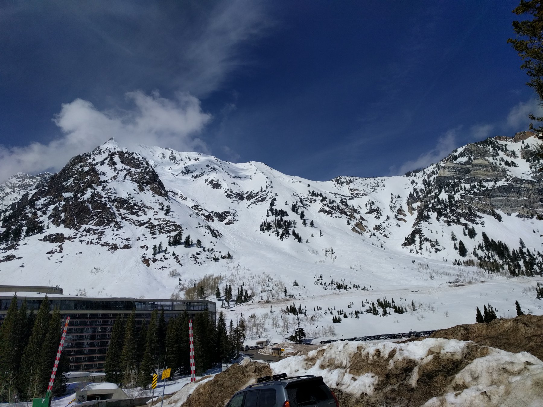
Qui si propone una combinazione interessante che permette di farsi qualche centinaio di metri su un versante Nord bello e selvaggio, con il rientro sui bei pendii del versante sud che sovrastano la stazione di Snowbird.
Dalla vetta si può scendere direttamente sul versante sud con condizioni sicure (pendii sui 45%).
Dalla macchina risalire lungo una linea elettrica per alpi pendi che alternano zone aperte a zone più alberate fino al colle che scende verso la valle l’altro versante.
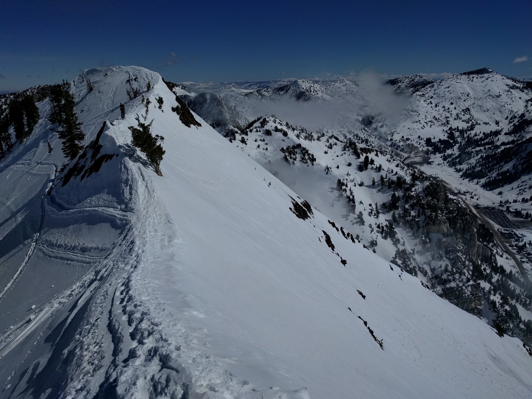
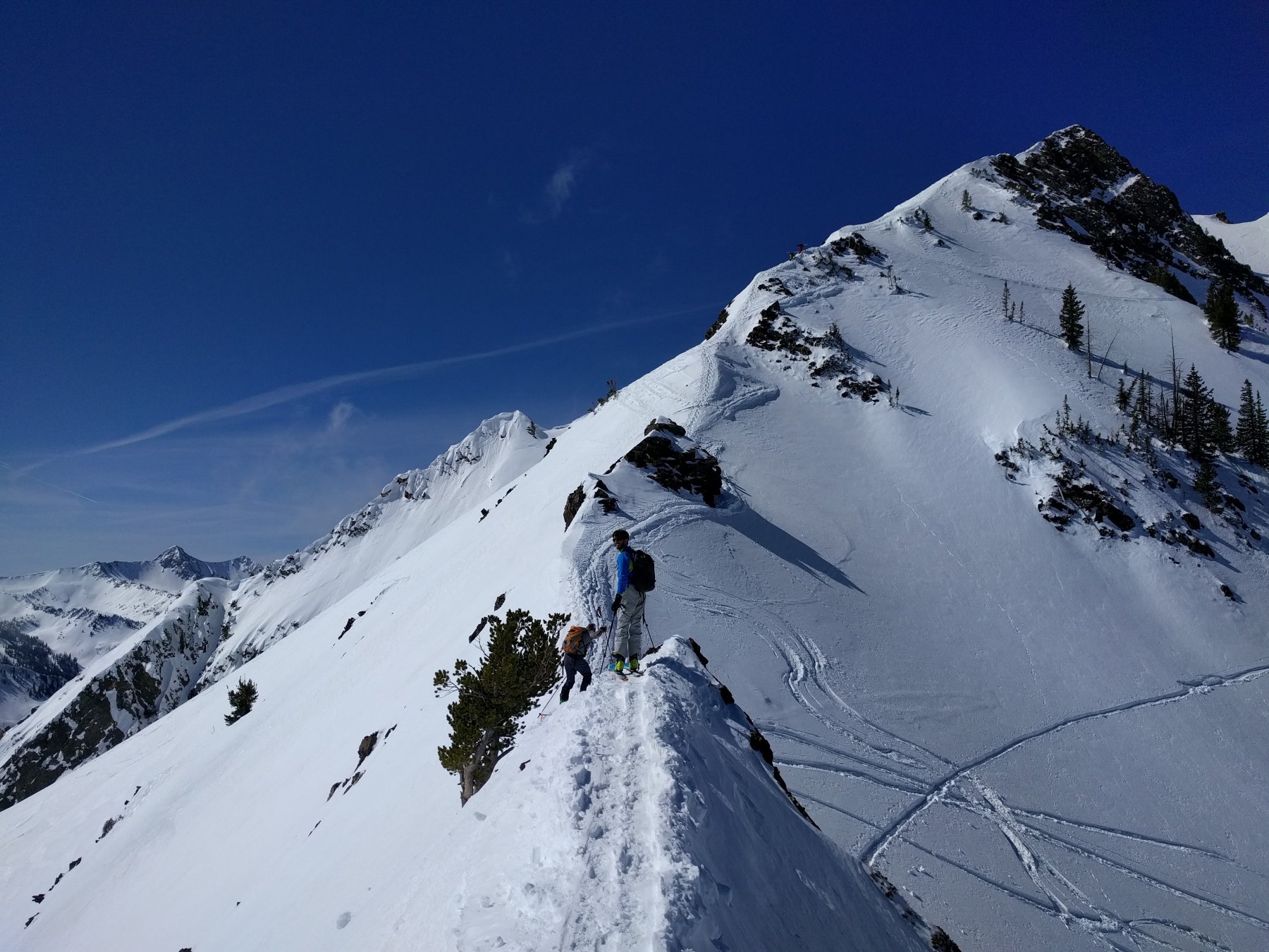
Seguire la cresta Ovest che con alcuni sali e scendi e un paio di passaggi esposti sui ripidi pendii che sovrastano Snowbird. L’ultimo centinaio di metri la cresta si impenna e si continua con gli sci a spalle.
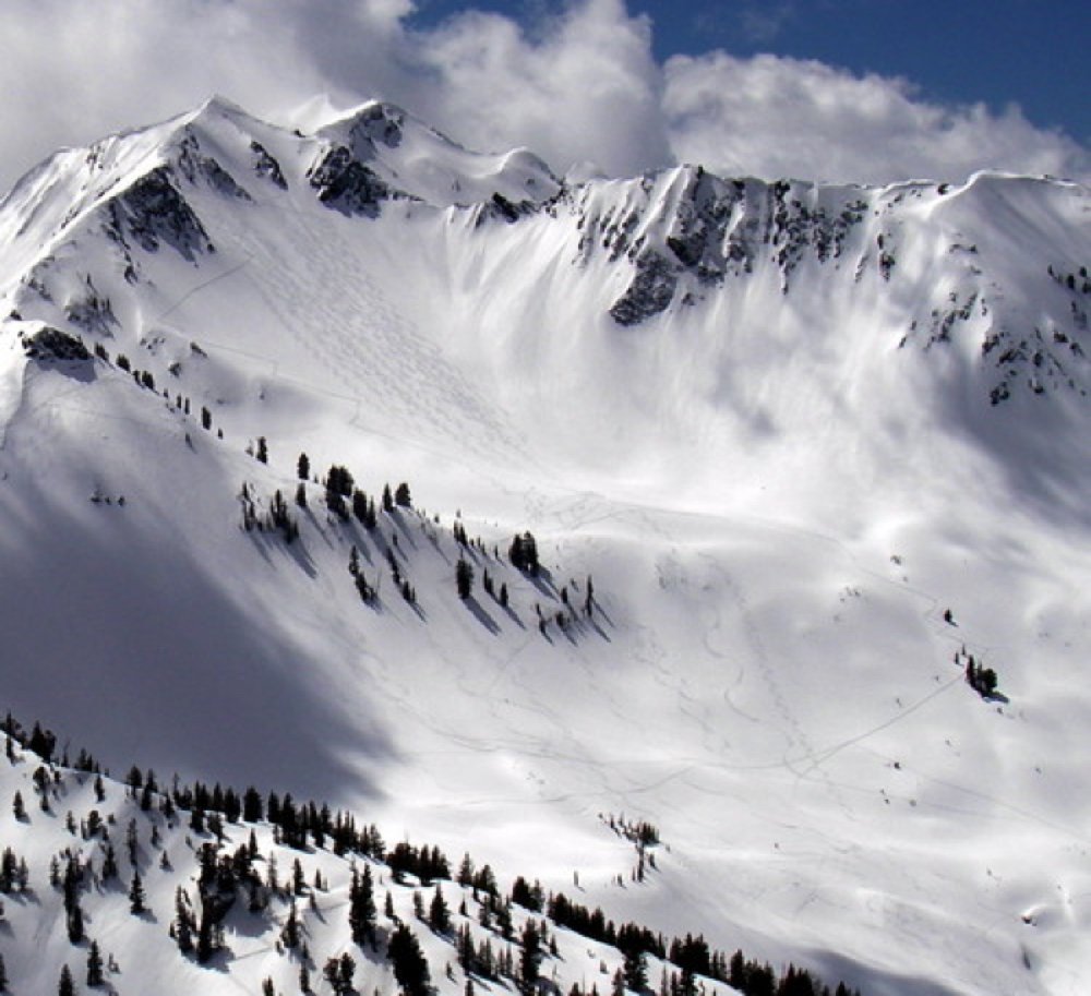
Raggiunta la vetta si calzano gli sci e si scende sul versante Nord, andando ad apprezzare la qualità della famosa polvere dello Utah, fino a dove qualità della discesa e voglia di risalire lo permettono.
Risalire in direzione della cresta fino a una spalla nominata Piccolo Superior.
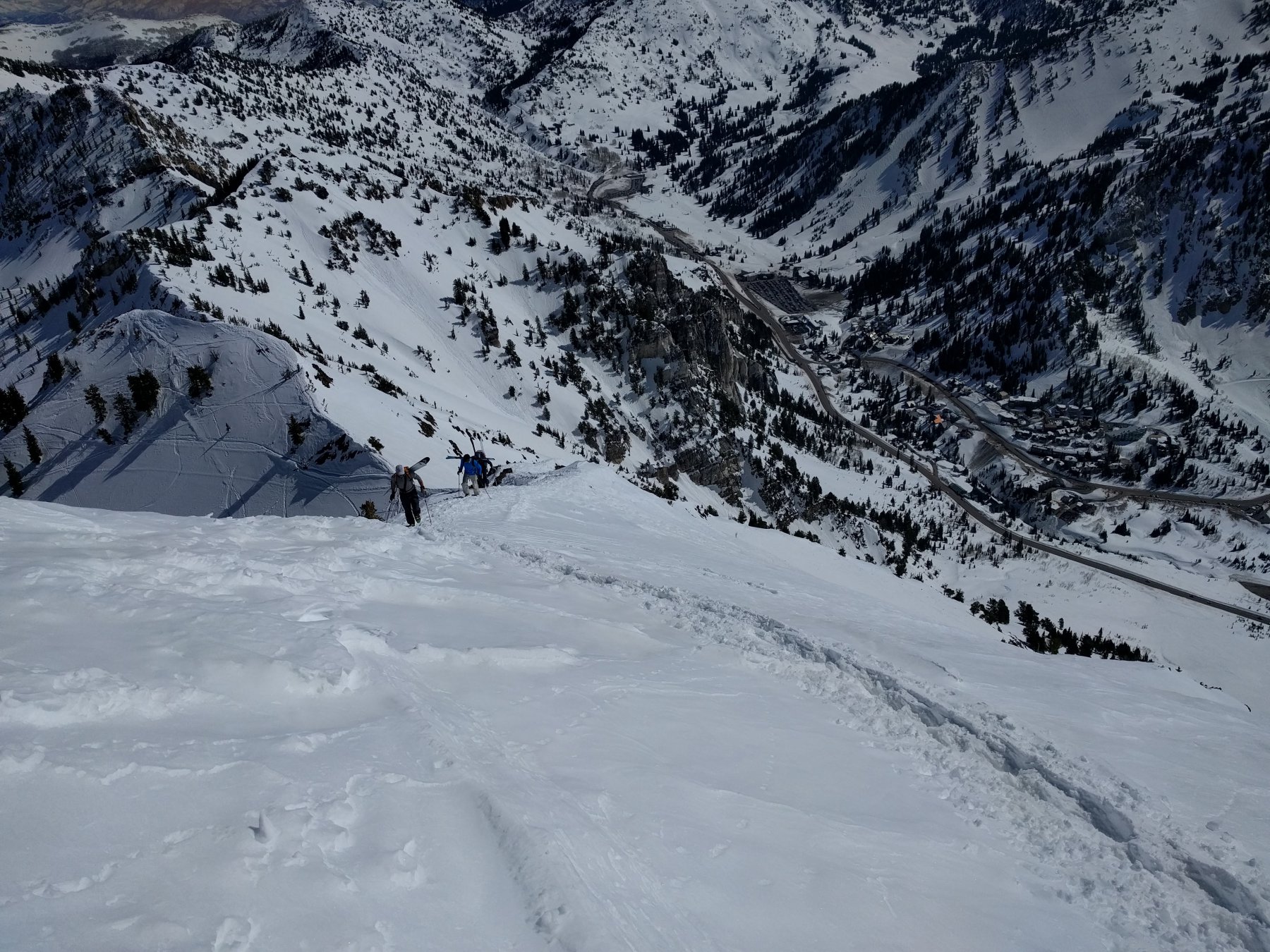
Scendere il ripido pendio sottostante in direzione del grosso Albergo di Snowbird tenendosi in direzione di una zona più alberata per evitare i colatoi che scaricano di più e che presentano qualche salto fino a raggiungere la strada