 1.7Km
1.7Km


Note
Storico
 400m
400m
400m
500m
1.3Km
1.3Km
1.3Km
400m
400m
400m
500m
1.3Km
1.3Km
1.3Km
1.7Km
5.9Km
6.6Km
7.4Km
7.6Km
7.6Km
7.8Km
7.8Km
7.8Km
7.8Km
utili 2 mezze corde, serie di stopper e serie di friends fino al #2 misura Camalot
Avvicinamento
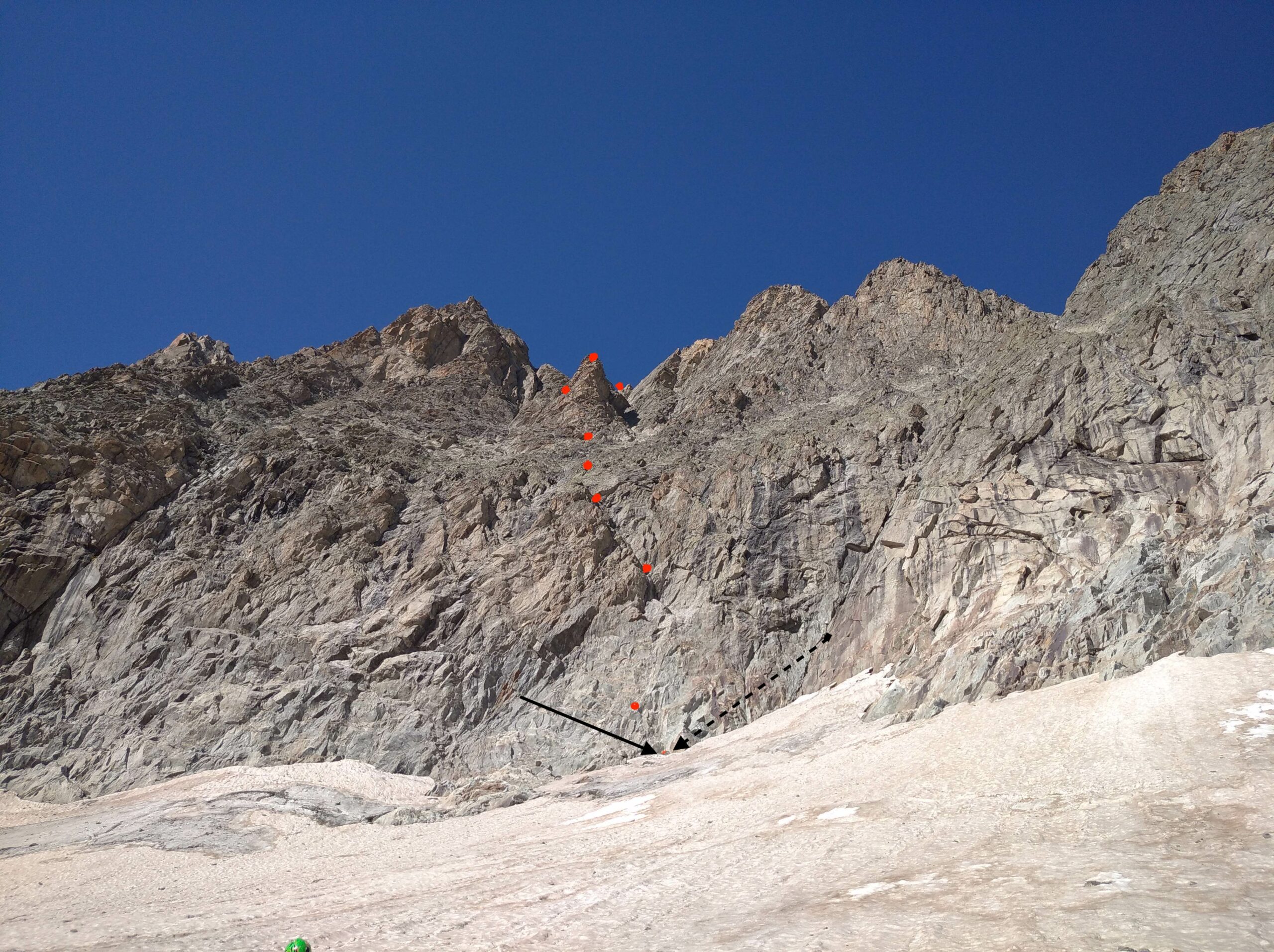
Dal Rifugio risalire la Morena, che porta al ghiacciaio (ometti), percorrerlo per circa 10 min. (alcuni piccoli crepacci). Volgendo lo sguardo verso dx si può individuare la Torre sulla foto ci sono delle frecce nere che indicano i punti di riferimento per individuare il primo fix con cordone giallo
Descrizione
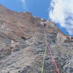
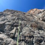
- L1 – risalire i gradoni (detriti) verso l’ altro evidente Fix con cordino 5b 15mt.
- L2 – qualche metro diritti per poter proteggersi quindi spostarsi a destra verso un Fix, puntare quindi a un muro verticale solcato da una fessura 1 passo di 6b per uscire, facilmente azzerabile, 35 mt.
- L3 – proseguire diritti 4a Fix segna via 45mt.
- L4 – seguire senza difficoltà 2 fix segavia con cordone puntando verso la base dell’ evidente torre 45 mt .
- L5 – sempre senza difficoltà puntare alla base della torre ( evidente sosta utile per la calata) in ascesa meglio usare la comoda clessidra poco più basso 45 mt.
- L6 – procedere dopo il secondo Fix a sinistra ben visibile il terzo Fix 5b 25mt.
- L7 – seguire la bella fessurazione uscendo su una comoda cengia 1 fix sulla sinistra per costruire una sosta 5c 25 mt , la “scomoda” sosta sul bordo della cengia serve per la calata .
- L8 – entusiasmante cresta 4° 45mt, attenzione i primi 15 mt ( orizzontali ) di 3° andranno disarrampicati in fase di discesa.
- L9-L10 – si traversa a destra e si giunge senza particolari difficoltà sotto alla piccola punta spartiacque con il bacino glaciale di Pre De Bar . ultimi 15mt 4a in totale 50 mt
Discesa: lungo la linea di salita
4/07/2022 Ivano Regis, Anna Maria Bruzzese, Alessandro Fiorenza, Elio Riva. Dedicata a Daniele Bagni
Nelle vicinanze Mappa
Itinerari
14/08/2022 Entremont, Orsières 6a+, 5b obbl. Sud-Est
Triolet (Monts Rouges de), Punta Nord – Via Manera
 400m
400m
04/07/2015 AO, Courmayeur 6b+, 6b obbl. Sud-Ovest
Triolet (Monts Rouges de), Punta Nord – Scacco alla Torre
400m
06/08/2022 AO, Courmayeur 6c, 6a+ obbl. Sud-Ovest
Triolet (Monts Rouges de), Punta Nord- Le Fond de l’Air
 400m
400m
19/08/2019 AO, Courmayeur 6b, 6a obbl. Nord-Ovest
Triolet (Monts Rouges de), Punta Nord – Reglette da Ballo
 400m
400m
11/08/2025 AO, Courmayeur 5c, 5a obbl. Sud-Ovest
Triolet (Monts Rouges de), punta 3327 m – La beresina
 500m
500m
04/07/2026 AO, Courmayeur 5c, 5a obbl. Sud
Triolet (Monts Rouges de), 2a punta centrale – Les Chamois Volant
 1.3Km
1.3Km
24/06/2025 AO, Courmayeur 5c, 5b obbl. Sud-Ovest
Triolet (Monts Rouges de) – Kermesse folk
 1.3Km
1.3Km
02/08/2011 AO, Courmayeur 6c+, 6c+ obbl. Sud-Ovest
Triolet (Monts Rouges de), 2a punta centrale – Tout Fou
1.3Km
18/06/2017 AO, Courmayeur 6b+, 5c obbl. Sud-Est
Triolet (Monts Rouges de), 2a punta centrale – We Are the Champions
1.3Km
09/07/2026 AO, Courmayeur 6b+, 6a obbl. Est
Triolet (Monts Rouges de), 2a punta centrale – Cristallina
 1.3Km
1.3Km
Servizi
1.7Km
5.9Km
Cabane de l’A Neuve Rifugio
La Fouly
6.6Km
Lavachey Albergo
Courmayeur 7.4Km
7.4Km
Chalet le Dolent B&B
La Fouly 7.6Km
7.6Km
Majya-Joie Ristorante
La Fouly 7.6Km
7.6Km
Auberge de Maya Joie Albergo
La Fouly 7.8Km
7.8Km
Zanskar Sport Servizi
La Fouly 7.8Km
7.8Km
Supermarché de La Fouly Servizi
La Fouly 7.8Km
7.8Km
Auberge des Glaciers Albergo
La Fouly 7.8Km
7.8Km



