150m
150m
Scarica l'APP per l'outdoor nelle valli del Grand Combin
Grand Combin Outdoor è una app mobile con oltre 100 itinerari con cartografia completa (anche offline), descrizioni e aggiornamenti.
Note
 50m
50m
1.2Km
1.2Km
1.7Km
1.7Km
2.1Km
2.1Km
2.4Km
2.4Km
50m
50m
1.2Km
1.2Km
1.7Km
1.7Km
2.1Km
2.1Km
2.4Km
2.4Km
150m
150m
200m
1.3Km
1.6Km
1.9Km
1.9Km
2.1Km
2.1Km
2.4Km
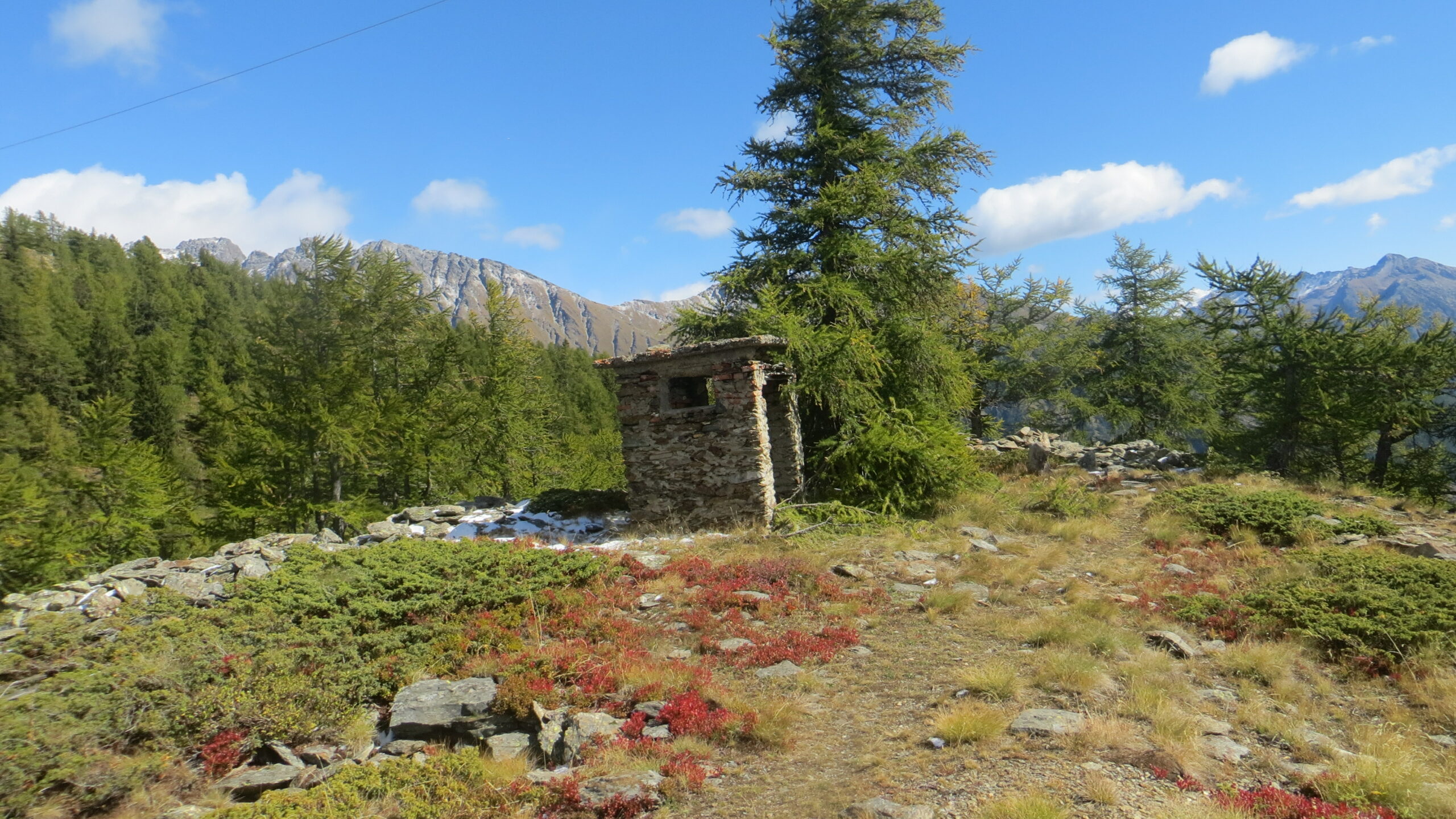
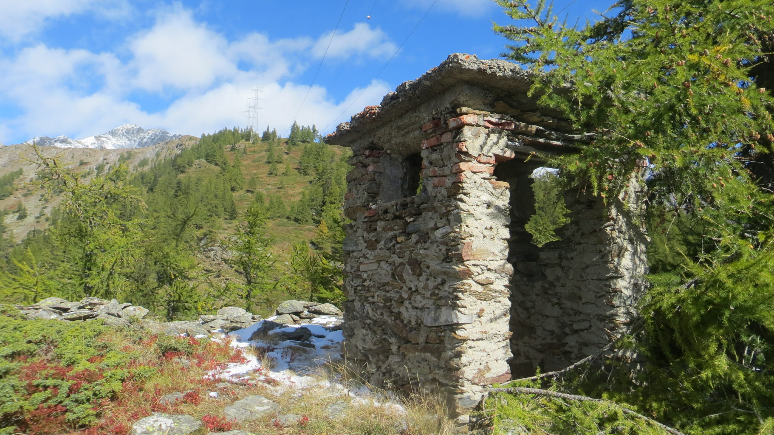
Il sito di Plan Puitz ha al suo interno delle gallerie (create per motivi militari) in cui erano posizionati dei cannoni.
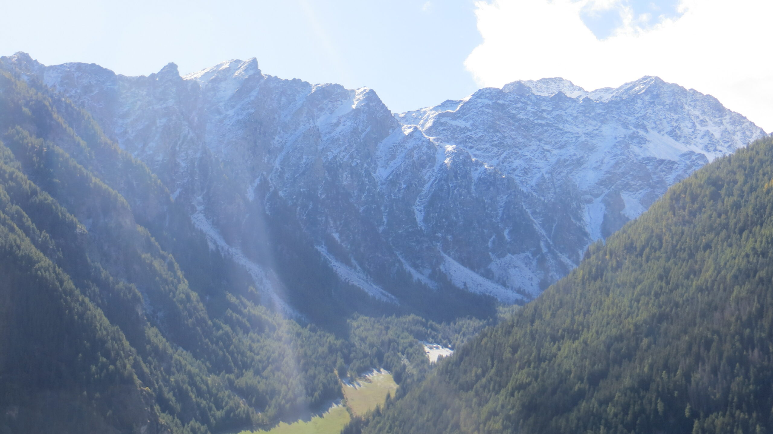
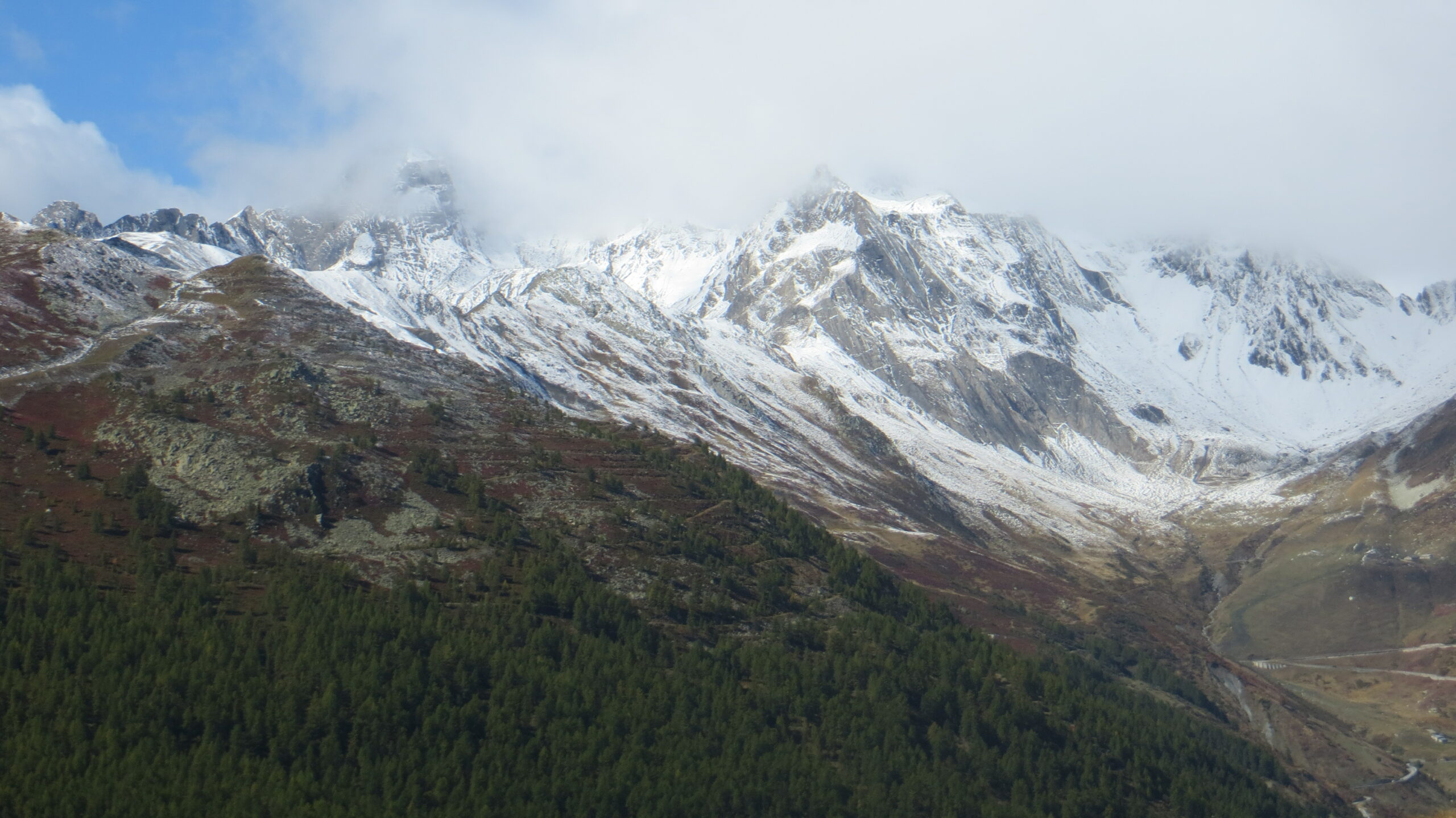
Le gallerie sono state sistemate e illuminate e permettono di vedere come la posizione poteva controllare molto bene la valle che scende dal Colle del Gran San Bernardo.
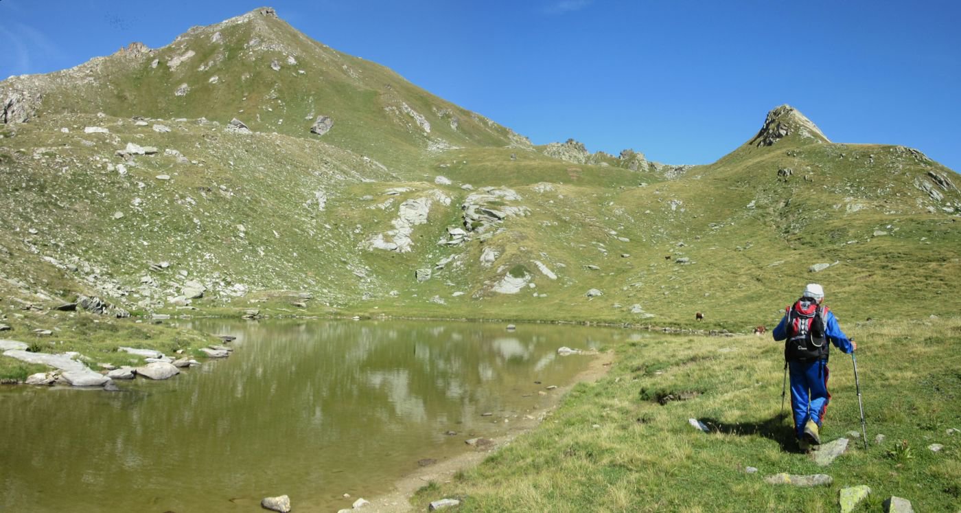
Avvicinamento
Le gallerie sono state sistemate e illuminate e permettono di vedere come la posizione poteva controllare molto bene la valle che scende dal Colle del Gran San Bernardo.
Dal casello di Aosta Est imboccare la galleria che conduce nella valle del Gran San Bernardo e proseguire lungo la stessa superando gli abitati di Gignod, Etroubles e Saint-Oyen.
Poco prima di Bosses svoltare a destra imboccando la strada statale 27 per il Colle del Gran San Bernardo.
Superare l’abitato di Saint-Rhémy e proseguire sino al tornante successivo dove, sulla destra, inizia una strada sterrata dove è possibile lasciare l'auto.
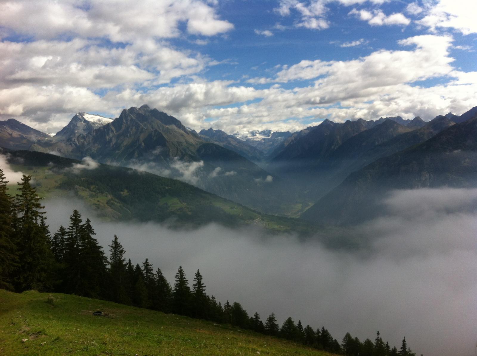
Descrizione
Poco prima di Bosses svoltare a destra imboccando la strada statale 27 per il Colle del Gran San Bernardo.
Superare l’abitato di Saint-Rhémy e proseguire sino al tornante successivo dove, sulla destra, inizia una strada sterrata dove è possibile lasciare l'auto.
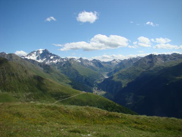
Dall’auto proseguire lungo la strada rurale che attraversa in leggera salita il fianco della montagna, a un bivio proseguire sempre lungo la strada rurale principale verso sinistra.
La strada prende quota con una serie di tornanti per poi attraversare nel bosco verso destra sino a imboccare sulla sinistra il sentiero nel bosco.
Il sentiero sale ripido, attraversa nuovamente la strada rurale a un tornante.
Si prosegue sempre nel bosco sino a raggiungerla nuovamente appena prima di Plan Puitz, a questo punto la si segue a sinistra e in breve si arriva all’imbocco della galleria.
Visitate le gallerie si può proseguire per un tratto più disagevole sino a raggiungere il bel piano del Plan Puitz oppure tornare indietro un piccolo tratto e riprendere il sentiero principale.
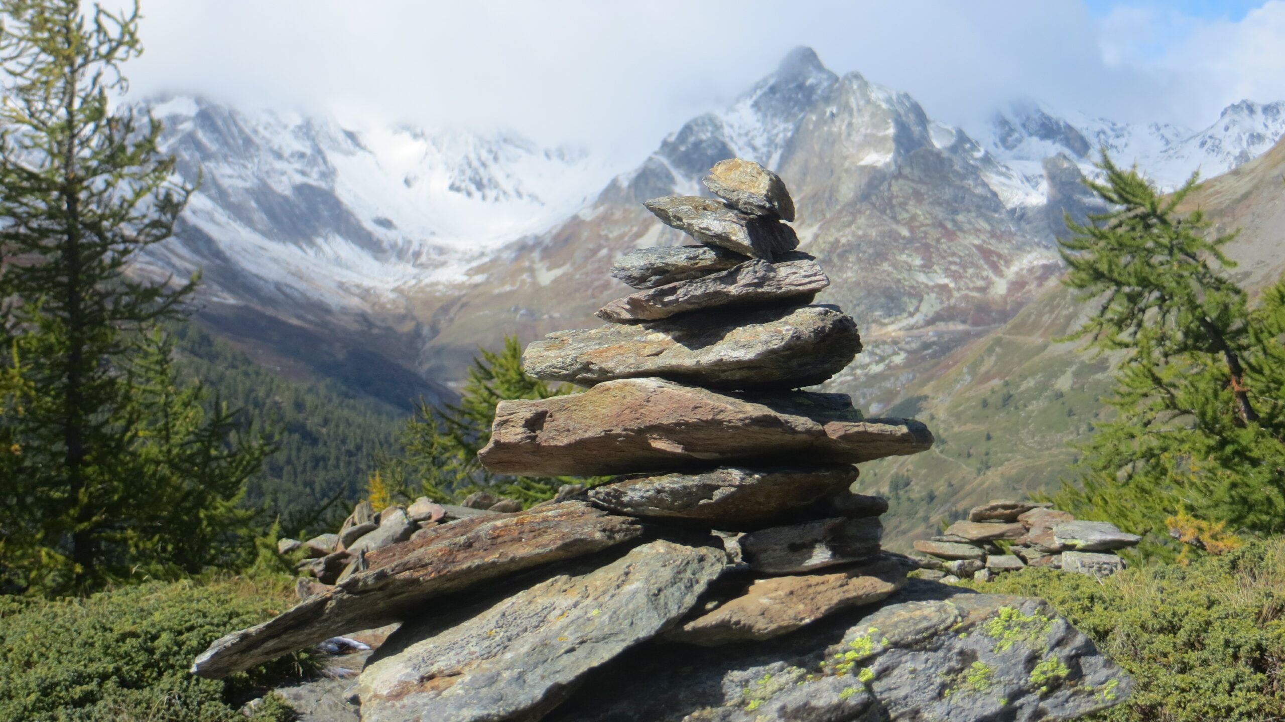
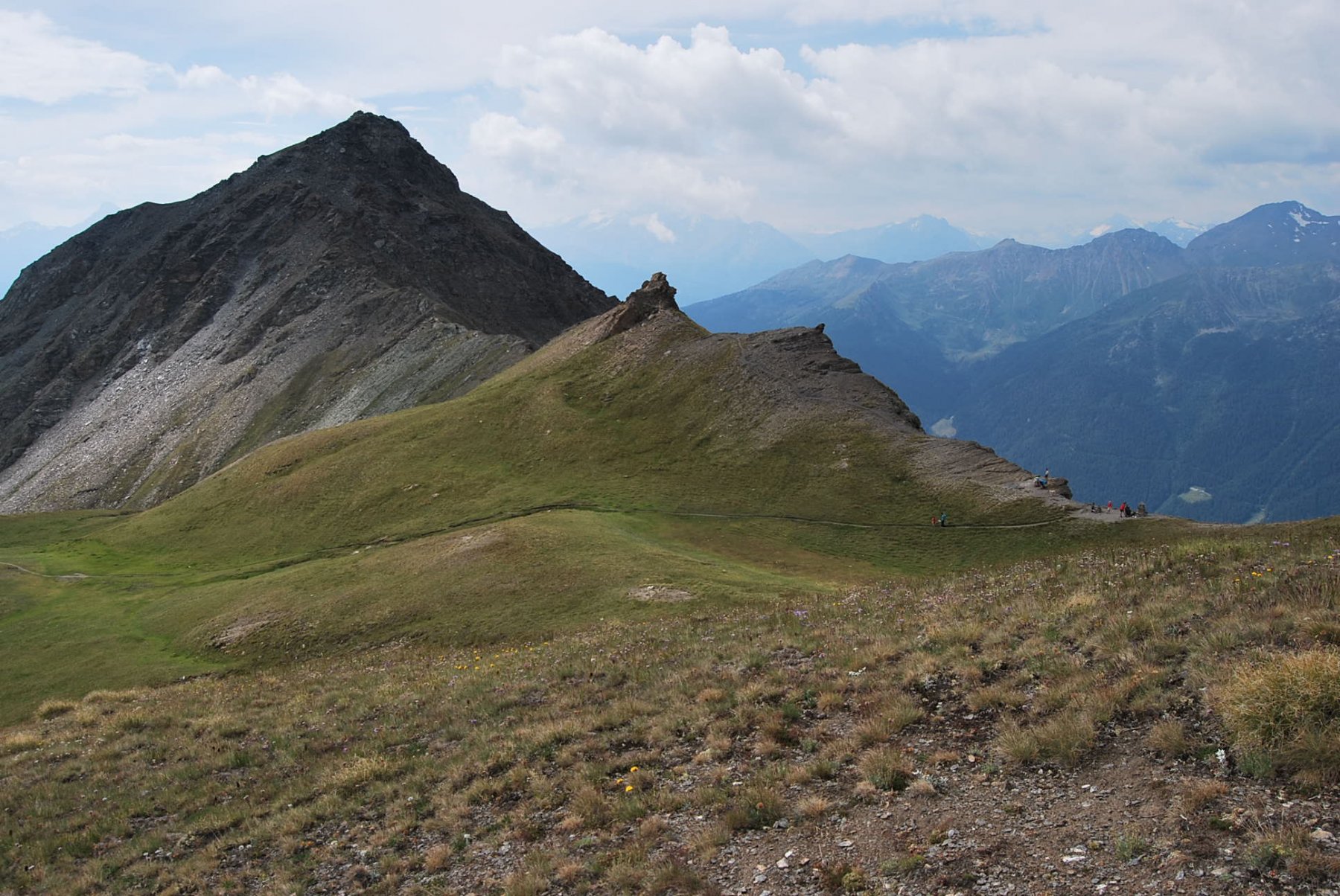
Si attraversa il piano verso sinistra per poi proseguire in alto superando il ripido pendio, a questo punto si scende ripidi sulla destra dentro un valloncello per poi attraversare ulteriormente a destra.
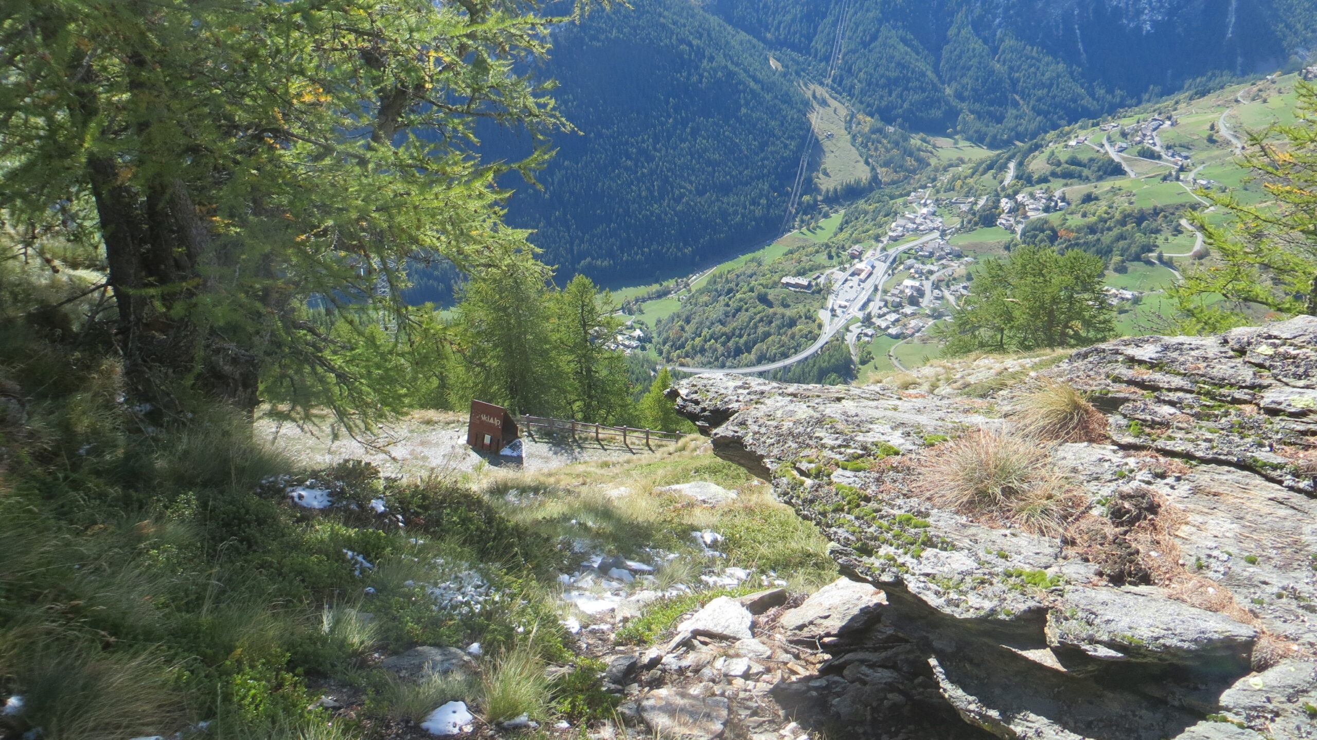
Si passa nei pressi di alcuni grandi muri di protezione dalle valanghe per poi scendere con stretti e ripidi tornanti nel bosco sino a raggiungere la strada automobilistica.
Dopo poche decine di metri la si lascia per imboccare a destra la strada che scende nel borgo di Saint-Rhémy.
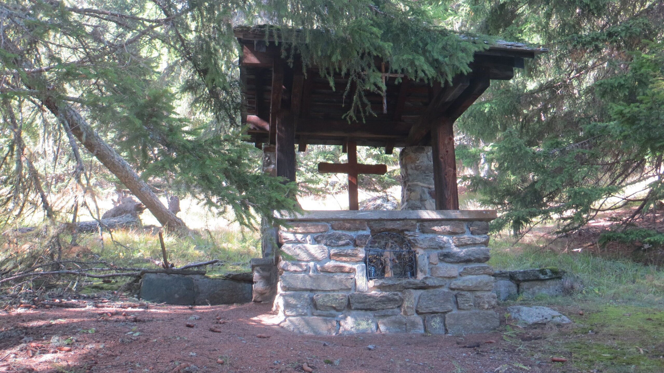
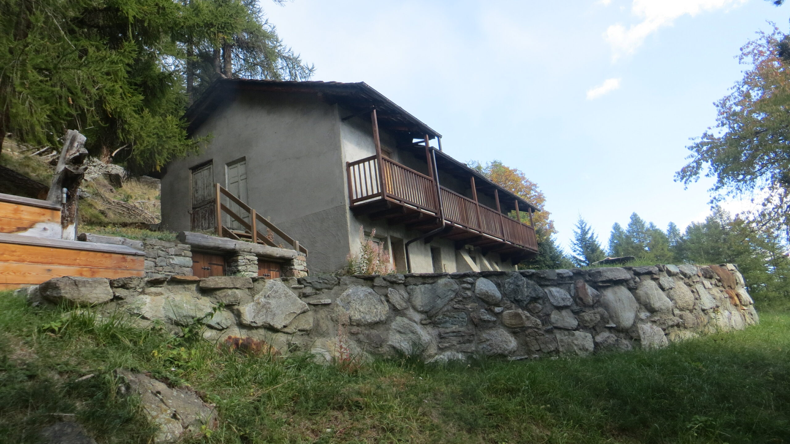
Si attraversa tutto il borgo che merita sicuramente una visita attenta ai dettagli sino a raggiungere nuovamente la strada principale.
Risalire lungo la stessa sino al primo tornante e raggiungere il luogo dove è parcheggiata l’automobile.
Nelle vicinanze Mappa
Itinerari
08/09/2018 AO, Saint-Rhemy-En-Bosses D+ 1243 m EE Varie
Mort (Mont) da Saint Rhemy, anello
 50m
50m
08/06/2026 AO, Saint-Rhemy-En-Bosses D+ 837 m E Sud
Gran San Bernardo (Colle del) da Saint Rhémy
 50m
50m
28/07/2018 AO, Saint-Rhemy-En-Bosses D+ 1514 m E Sud-Ovest
Champillon (Col) da Saint Rhemy en Bosses
 1.2Km
1.2Km
28/06/2026 AO, Saint-Rhemy-En-Bosses D+ 4433 m E Tutte
Grand Combin (Giro del) da Saint-Rhémy en Bosses (6 gg)
 1.2Km
1.2Km
18/08/2025 AO, Saint-Rhemy-En-Bosses D+ 1423 m EE Sud-Est
Valletta (Punta) da Cerisey
 1.7Km
1.7Km
09/08/2025 AO, Saint-Rhemy-En-Bosses D+ 866 m E Nord
Bois de Quart (Tête du) da Cerisey, anello per i valloni Citrin e Flassin
 1.7Km
1.7Km
23/07/2025 AO, Saint-Oyen D+ 1435 m E Nord-Est
Flassin (Mont) dalla Comba Flassin
 2.1Km
2.1Km
10/08/2023 AO, Saint-Oyen D+ 2293 m E Tutte
Fallére (Mont) da Flassin, anello per i Monti Vertosan e Chaligne (3 gg)
 2.1Km
2.1Km
25/06/2026 AO, Saint-Rhemy-En-Bosses D+ 1015 m E Nord-Est
Citrin (Col) da Saint-Léonard
 2.4Km
2.4Km
18/08/2025 AO, Saint-Rhemy-En-Bosses D+ 1161 m EE Varie
Raye du Sodze (la) da Saint Leonard
 2.4Km
2.4Km
Servizi
150m
 150m
150m
Hotel Suisse Albergo
Saint-rhemy-en-bosses 200m
200m
Ettore Personnettaz Professionisti
Saint Rhemy 1.3Km
1.3Km
Prosciutteria Sous le pont de Bosses Ristorante
Saint-rhemy-en-bosses 1.6Km
1.6Km
La Vieille Cloche B&B
Saint-rhemy-en-bosses 1.9Km
1.9Km
Hotel Des Alpes Albergo
Saint-rhemy-en-bosses 1.9Km
1.9Km
Ristorante Des Alpes Ristorante
Saint Rhemy 2.1Km
2.1Km
Le Nouveau Foyer Ristorante
Saint-rhemy-en-bosses 2.1Km
2.1Km
Noleggio sci Flassin Servizi
Saint-rhemy-en-bosses 2.4Km
2.4Km