50m
50m
Note
Storico
 0m
650m
750m
750m
800m
800m
850m
2.7Km
2.7Km
2.7Km
0m
650m
750m
750m
800m
800m
850m
2.7Km
2.7Km
2.7Km
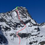
L'itinerario proposto non segue i bolli rossi su pietraia del versante SO (https://www.gulliver.it/itinerari/mondrone-uja-di-da-balme-per-il-dal-lago-mercurin-e-il-labirinto-verticale/).
Bensì attacca la cresta direttamente da poco sotto il lago Mercurin.
Avvicinamento
Bensì attacca la cresta direttamente da poco sotto il lago Mercurin.
Da Lanzo risalire la Valle di Ala di Stura fino a Balme.
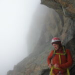
Descrizione
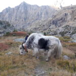
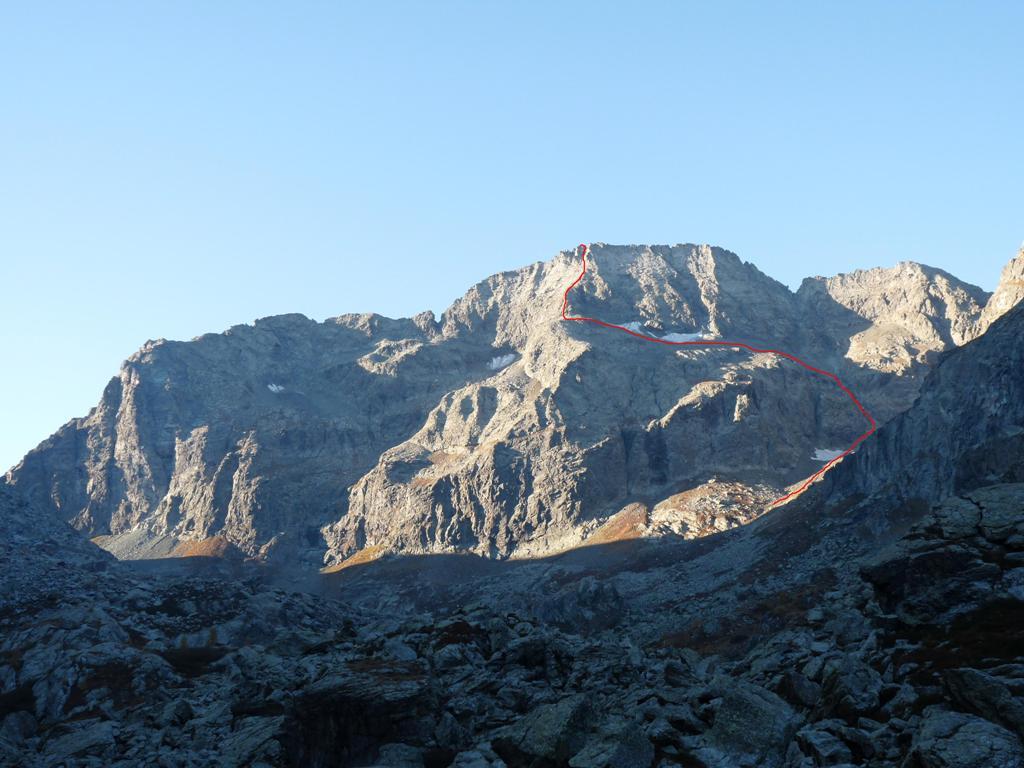
Partendo da Balme si raggiunge il lago Mercurin per labirinto verticale (molto bello, consigliato) oppure per sentiero 228. Da poco prima del lago prendere il sentiero 227 e subito il 232 verso Est. Appena possibile, a piacere rimontare la cresta circa a q. 2550/2600.
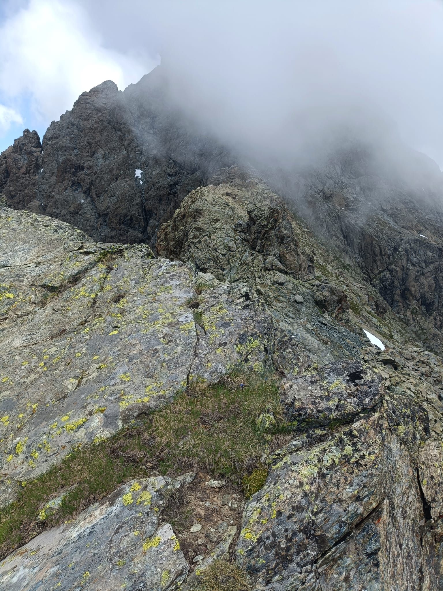
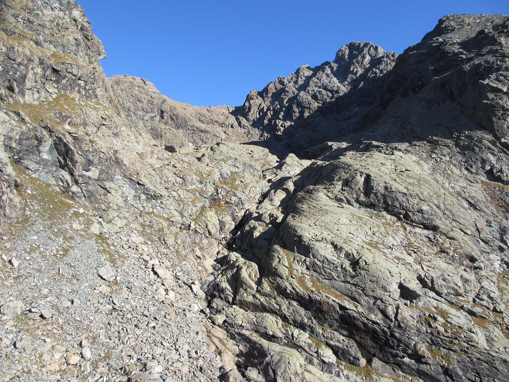
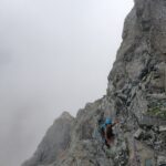
Si segue la cresta senza segni né ometti.
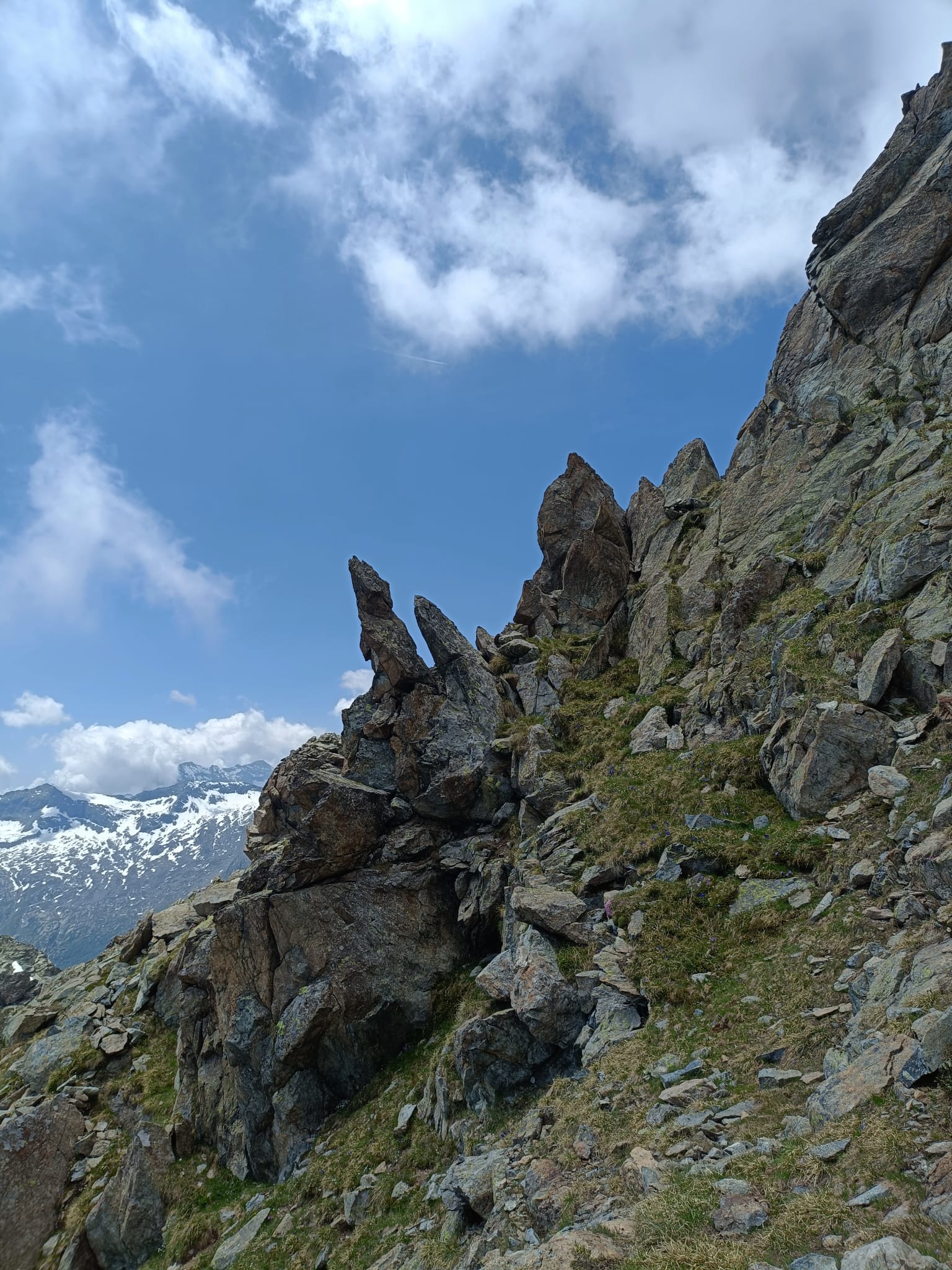
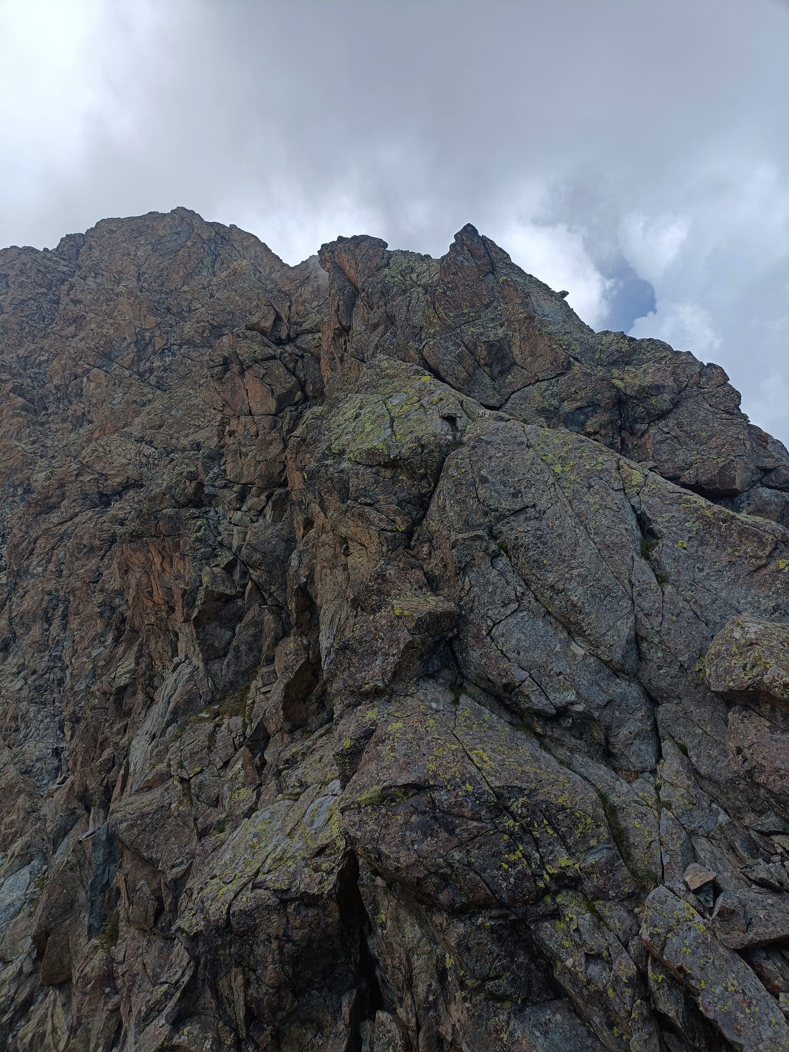
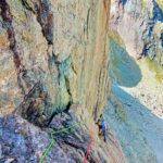
Dapprima larga e con sfasciumi si può liberamente scegliere dove passare. Si arriva a q.2700 circa su un largo balcone. Da qui la cresta si fa più esile imponendo il superamento di due torrioni su terreno frastagliato. Saliscendi generalmente II con passi di III. Si può aggirare il secondo torrione per versante est con delicato traverso esposto (II+) e rimontare la cresta a piacere. Si giunge così a q.2800 circa dove ci si ricongiunge a tracce di sentiero 227 (tacche rosse) in vista della cupola finale. Arrivati ad un punto morto si scala un muretto/canale verso nord (II+/III passo delicato) fino a sbucare su cresta Est. Da qui si segue la cresta est (segni tacche rosse) che dopo pochissimo lasciano posto a sfasciumi fino in vetta.
Discesa per la normale fino a Molera e ritorno su asfalto a Balme.
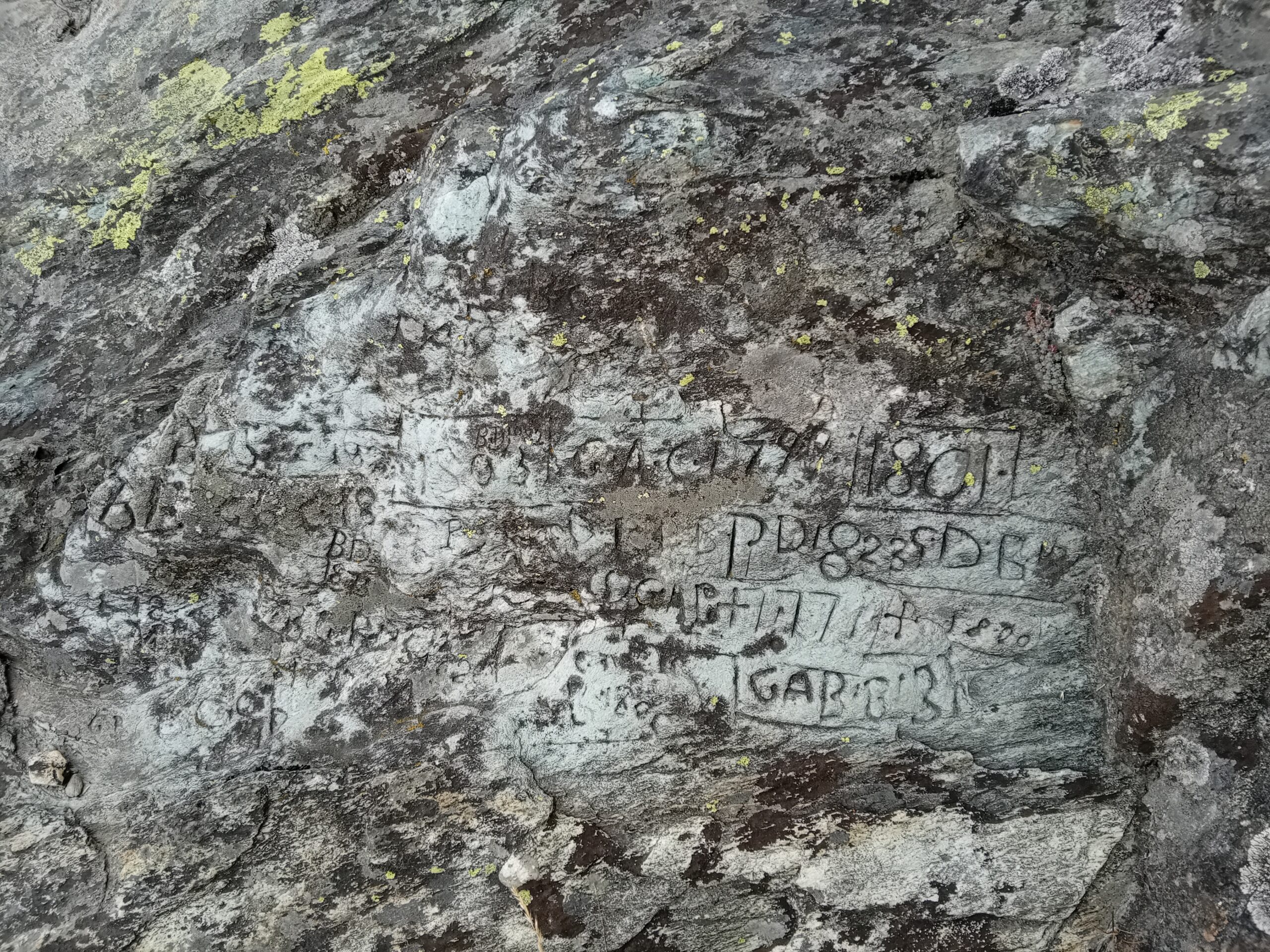
CAI-TCI riporta questa salita come la prima invernale (Martelli-Vaccarone 1874) giudicandola più semplice della normale da Molera.
- Cartografia:
- Fraternali - Valli di Lanzo
Nelle vicinanze Mappa
Itinerari
08/03/2026 TO, Balme D+ 2350 m D+ Est
Bessanese (Uja di), Segnale Tonini Parete Est – La Dama e i Cavalieri Antichi
 0m
0m
05/08/2025 TO, Balme D+ 1177 m AD- Ovest
Fauset (Bec del) Cresta Ovest
 650m
650m
21/12/2024 TO, Balme D+ 1532 m F+ Sud-Ovest
Mondrone (Uja di) da Balme per il Lago Mercurin e il Labirinto Verticale
 750m
750m
05/11/2024 TO, Balme D+ 1532 m PD- Ovest
Mondrone (Uja di) Cresta Ovest
 750m
750m
27/09/2023 TO, Balme D+ 1400 m F Nord
Golai (Punta) Cresta Nord dal Colle delle Puracere
 800m
800m
31/07/2025 TO, Balme D+ 1700 m PD+ Varie
Ovarda (Torre d’) Cresta Est e traversata
 800m
800m
08/09/2019 TO, Balme D+ 1630 m PD Nord
Ovarda (Torre d’) Parete Nord – Via Hatz
 850m
850m
19/09/2025 TO, Balme D+ 1514 m AD+ Nord
Mondrone (Uja di) – Via Rosenkrantz
 2.7Km
2.7Km
11/08/2025 TO, Balme D+ 1500 m ED Nord-Est
Mondrone (Uja di) – Alla Pagina Seguente
 2.7Km
2.7Km
11/07/2021 TO, Balme D+ 1486 m D- Nord
Mondrone (Uja di) – Via Dionisi
 2.7Km
2.7Km