 2.8Km
2.8Km
Note
 250m
2.8Km
4.3Km
5.6Km
8.7Km
10.5Km
11.1Km
11.7Km
12.6Km
250m
2.8Km
4.3Km
5.6Km
8.7Km
10.5Km
11.1Km
11.7Km
12.6Km
2.8Km
2.8Km
2.8Km
2.8Km
3.1Km
6.1Km
6.9Km
8.4Km
8.4Km
8.4Km
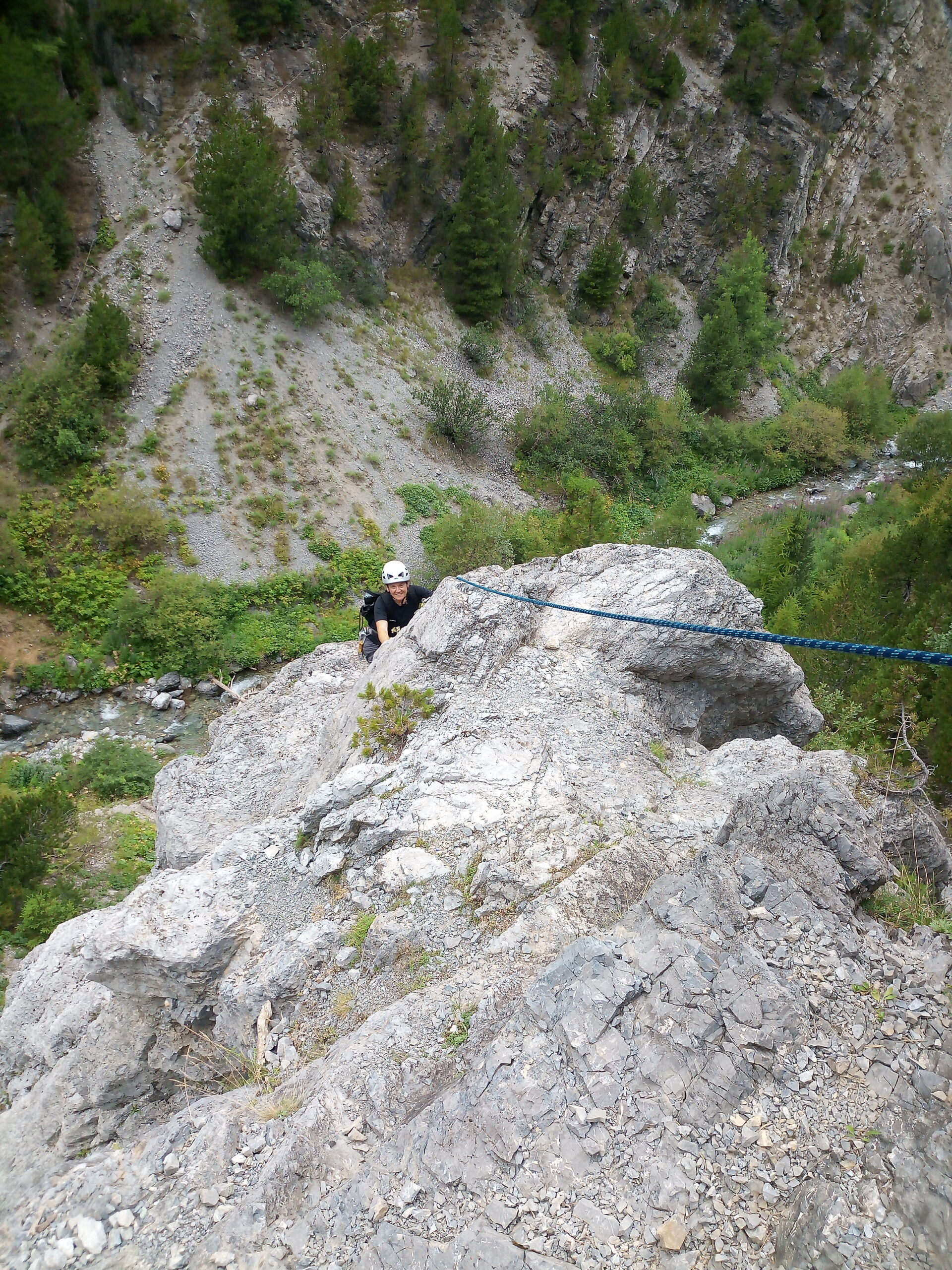
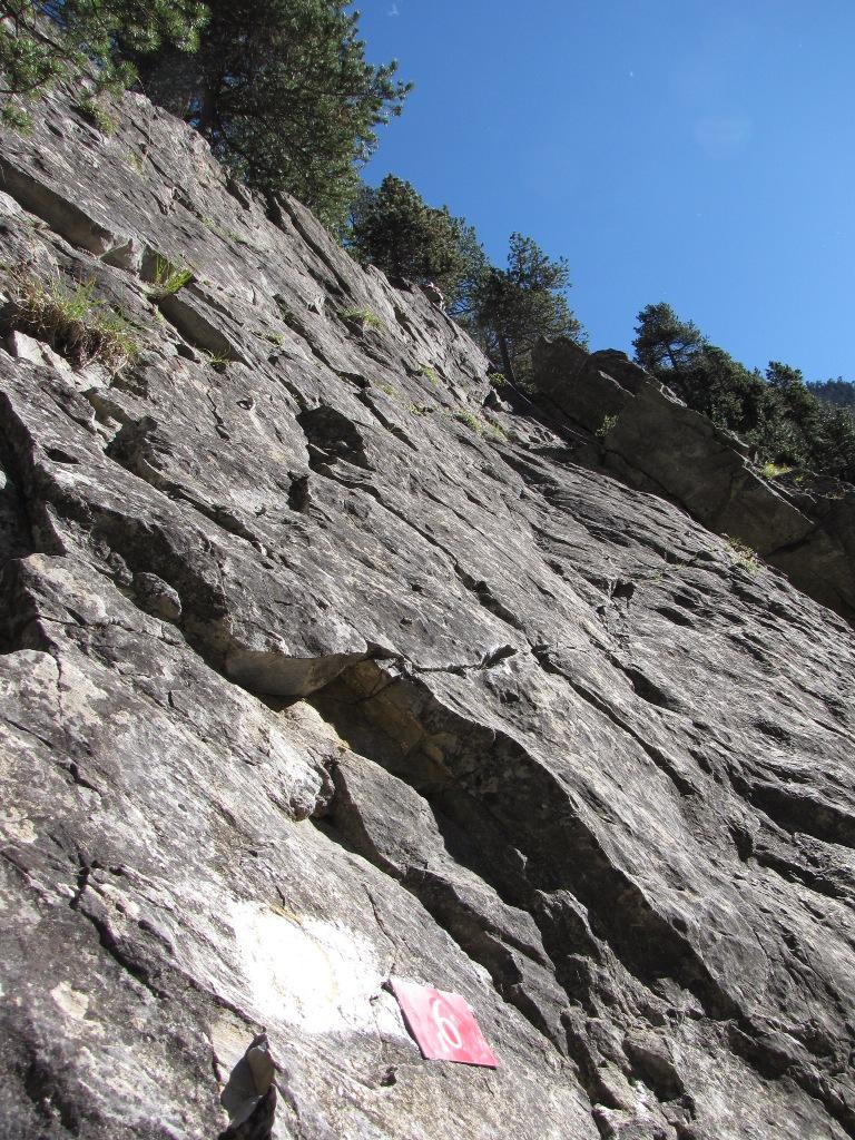
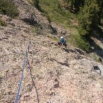
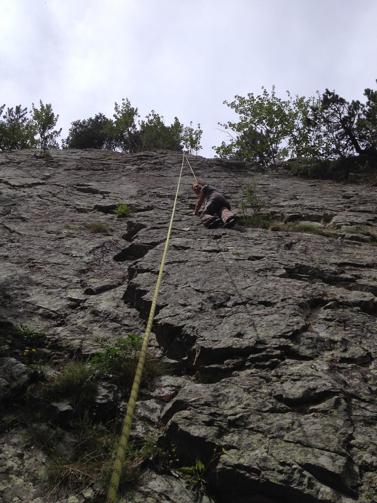
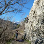
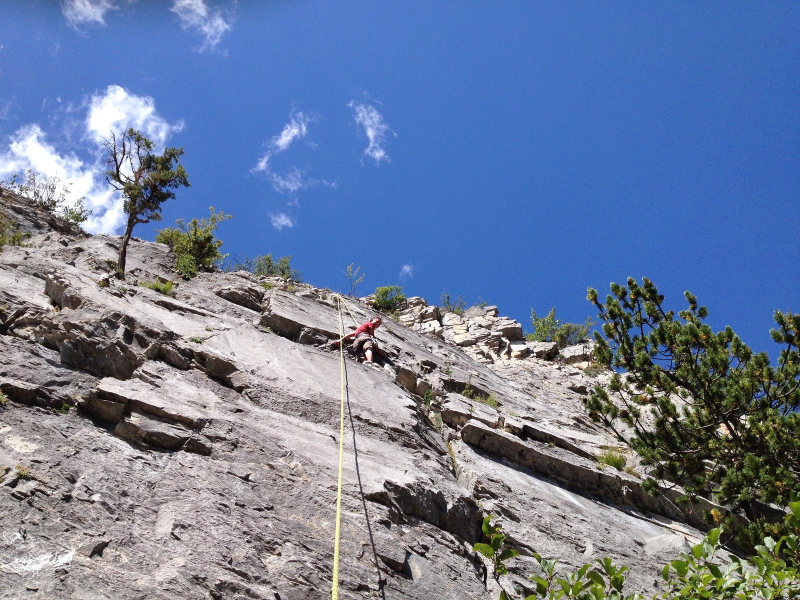
Ultima nata nel complesso del "parco avventure alpino" della zona delle Gorge di San Gervasio, tra i comuni di Claviere e Cesana. La falesia è costituita da tiri di due o tre lunghezze. La roccia è di medio-scarsa qualità e occorre valutare la bontà di ogni appiglio "bussando" su di esso. La chiodatura (a spit-fix da 10 mm) è abbondante ma in alcuni tiri è poco lineare e induce brusche variazioni di direzione alla corda che rendono la discesa in moulinette disagevole, se non impossibile. Probabilmente questa falesia è stata concepita per prevedere la salita anche del secondo di cordata e la discesa in corda doppia di entrambi i membri della cordata. I gradi medio bassi la rendono adatta a neofiti dell'arrampicata ma occorre prestare molta attenzione alla qualità della roccia (decisamente migliore quella della vecchia falesia che si incontra durante l'avvicinamento).
Avvicinamento
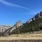
Procedendo lungo la statale 24 del Monginevro in direzione Claviere, poco dopo l'abitato di Cesana, in corrispondenza del ponte sulla piccola Dora girare a sinistra e parcheggiare nel grande spiazzo a disposizione. Incamminarsi lungo il sentiero che si insinua nelle Gorge di San gervasio. Superare le pareti della già esistente Falesia di Rocca Clarì (situate sulla sinistra, cioè destra orografica del torrente) e giungere sino all'attacco della via Ferrata. Le vie si trovano alla destra e alla sinistra dell'attacco della via ferrata.
Descrizione
In ordine da sx a destra:
1 – Mungiero (5 oblig.)
2 – Lo Zappatore
3 – Sgabello
**Attacco via ferrata**
4 – Il bastino (5+ oblig.)
5 – Salila Tu
6 – Il Traversino (5 oblig.)
7 – Il Sudore (5+ oblig.)
8- La Sapienza (6A oblig.)
9 – Via del Venerdì
- Bibliografia:
- http://www.altox.it/
Nelle vicinanze Mappa
Itinerari
28/06/2026 TO, Cesana Torinese 4, al 6b Nord-Ovest
Clarì (Rocca, Falesia di)
 250m
250m
06/07/2025 TO, Cesana Torinese 3, 6b Sud
Remolon (Rocca) – Alpini (Falesia degli)
 2.8Km
2.8Km
09/09/2012 TO, Cesana Torinese 5a, 7a Nord
Bousson – Cava di Marmo (Falesia della)
 4.3Km
4.3Km
29/08/2016 TO, Cesana Torinese 5a, 7c Sud-Est
Capanna Mautino (Rifugio) – Nero (Lago, Falesia del)
 5.6Km
5.6Km
25/07/2021 TO, Cesana Torinese 5a, 7c Nord
Val Thuras – La Griserie (Falesia)
 8.7Km
8.7Km
19/07/2021 Hautes-Alpes, Cervières 4, 6a+ Sud-Est
Le Laus (Falesia di)
 10.5Km
16/04/2022 Hautes-Alpes, Cervières 3, 6a Est
Le Laus (Falesia di), settore 2 Initiation
 11.1Km
11/07/2026 TO, Oulx 5a, 6c Sud
Oulx – Pourtette (Falesia)
 11.7Km
06/07/2025 Hautes-Alpes, Névache 5c, 7b+ Ovest
Plampinet – La Bruza (Falesia)
12.1Km
28/08/2022 Hautes-Alpes, Névache 5a, 7c Est
Val de la Clarée – Le Sapet (Falesia) FALESIA CHIUSA E SCHIODATA
 12.6Km
Servizi
2.8Km
2.8Km
L’Ibarus Rifugio
Cesana Torinese
2.8Km
Piergiorgio Frassati B&B
Cesana Torinese
2.8Km
Ottima Scelta Ristorante
Cesana Torinese
3.1Km
Baita Gimont Rifugio
Claviere
6.1Km
Centro Ristorante
Cesana Torinese
6.9Km
La Fontana del Thures Rifugio
Cesana Torinese
8.4Km
La Crota B&B
Cesana Torinese
8.4Km
da Carlo Rifugio
Cesana Torinese
8.4Km

