5.2Km
5.2Km
Note
Storico
 2.5Km
4.3Km
4.3Km
4.3Km
5.5Km
5.8Km
5.8Km
5.8Km
2.5Km
4.3Km
4.3Km
4.3Km
5.5Km
5.8Km
5.8Km
5.8Km
5.2Km
5.8Km
7.7Km
7.7Km
7.7Km
7.9Km
8.7Km
9.1Km
9.1Km
9.1Km
Itinerario ad anello in ambiente selvaggio e poco segnalato. Sentieri poco battuti ed in alcuni tratti assenti. Comunque con tempo bello molto evidente, non così in caso di nebbie.
Avvicinamento
Briancon-Cervieres-Le Bourget
Descrizione
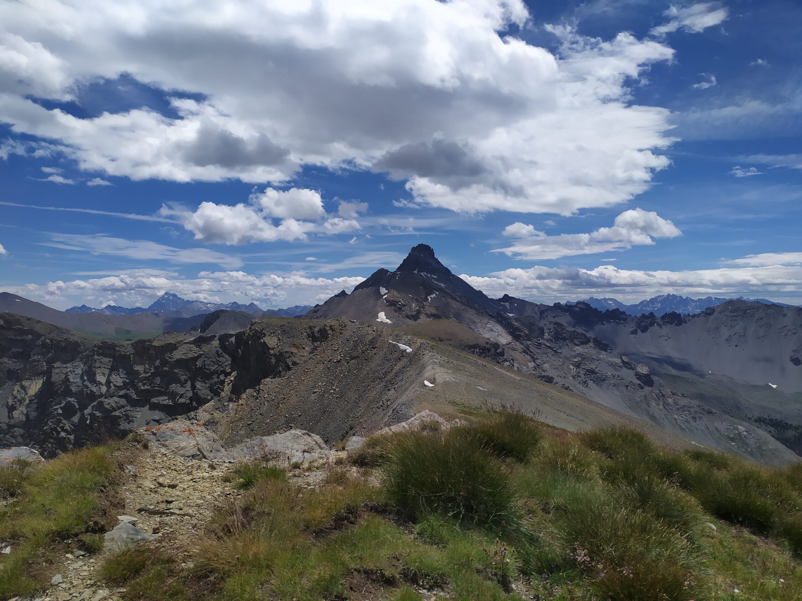
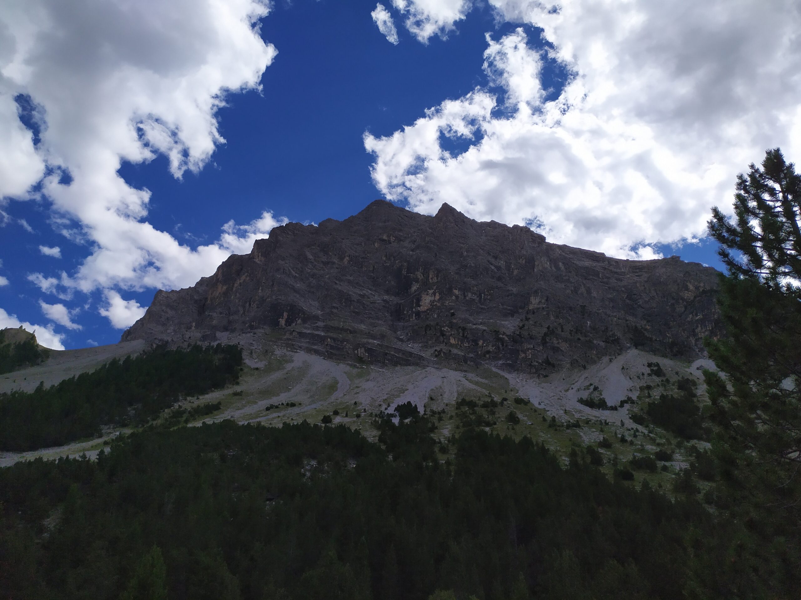
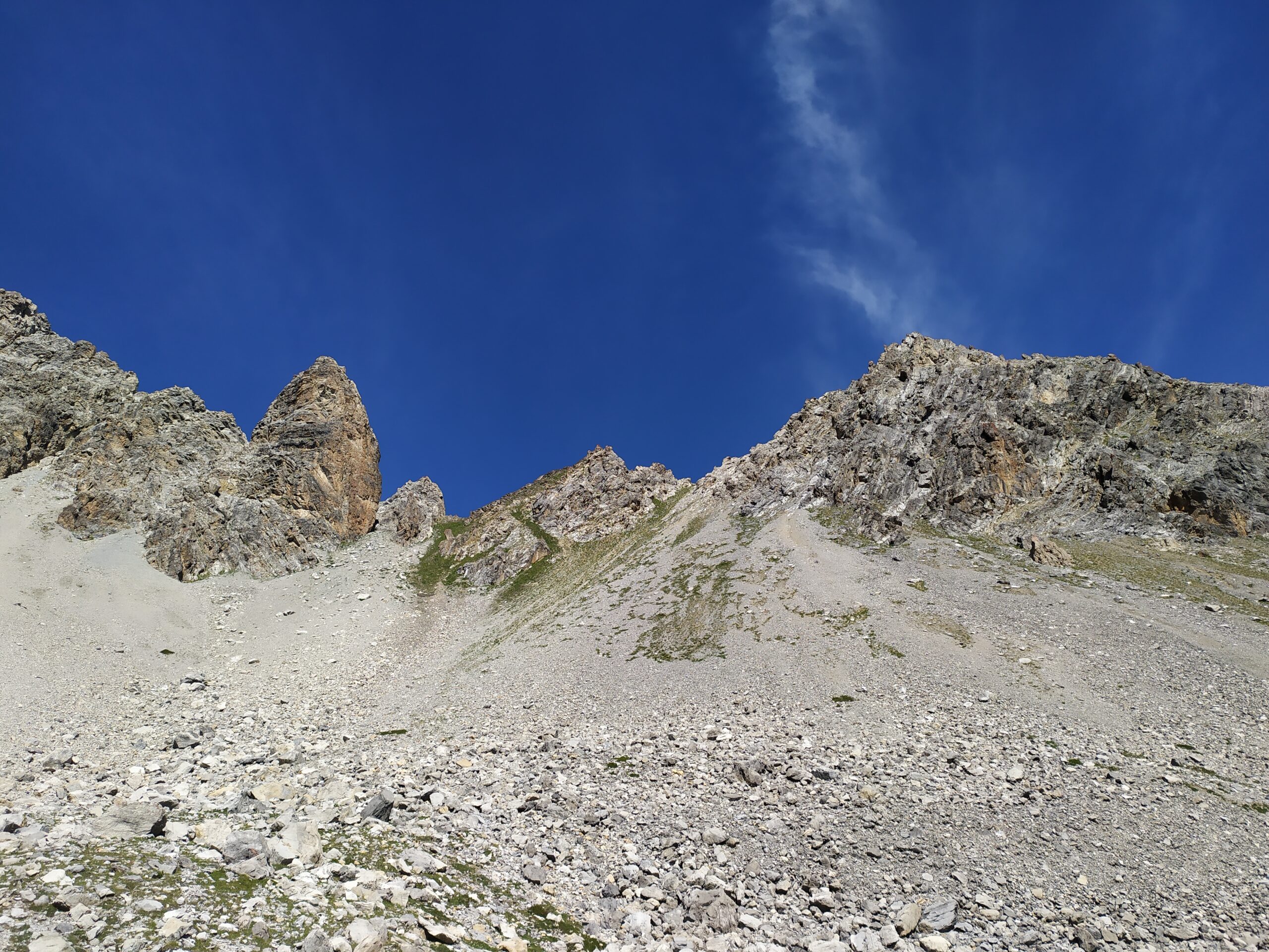
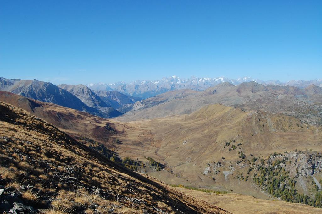
Da Le Bourget (Strada per Les Fonts), si parcheggia dopo un ponticello a dx. Si prosegue con salita subito ripida su pista forestale verso il Vallone di Prafauchier. Al limite del bosco la pendenza si addolcisce e ci si inoltra verso l’evidente Colle di Prafauchier (2700 m.ca.), che si raggiunge dopo ca. 2h 00′. Si prosegue in direzione della cresta molto larga soprastante e per ampi pendii si raggiunge la Cime de la Charvie, in posizione panoramicissima.
La discesa si effettua verso gli ampi pendiii prativi che digradano verso il Col de Lasserou, che si lascia leggermente sulla sx per imboccare l’ampio vallone che poi si restringe ad imbuto e che porta al fondo valle. Si costeggia per un tratto il torrente Cerveyrettes, fino ad attraversarlo su ponticello in legno e portarsi sulla strada che in breve conduce al parcheggio di partenza. Calcolare ca. 6 h 00′ per l’intero anello.
La Cime de la Charvie è un noto itinerario sci-alpinistico, che si snoda sia su questo versante che su quello di Les Laux.
Nelle vicinanze Mappa
Itinerari
16/07/2025 Hautes-Alpes, Cervières D+ 650 m E Varie
Marsailles (Col des) da les Chalps, anello per il Lac des Cordes
 2.5Km
2.5Km
07/09/2024 TO, Cesana Torinese D+ 400 m E Nord
Begino (Monte) dal Lago Nero
 4.3Km
4.3Km
04/07/2025 TO, Cesana Torinese D+ 700 m E Sud-Est
Gimont (Mont) o Grand Charvia dal Lago Nero
 4.3Km
4.3Km
07/10/2010 TO, Cesana Torinese D+ 800 m E Varie
Giassiez (Monte) o Giaissez dal Lago Nero e il Colle Begino
 4.3Km
4.3Km
08/07/2025 Hautes-Alpes, Cervières D+ 1280 m EE Nord-Est
Escalinade (l’) e Turge de la Suffie da les Chalps per il Lac des Cordes, anello per il Col de Marsailles
 5.5Km
5.5Km
09/08/2013 Hautes-Alpes, Cervières D+ 1320 m EE Nord-Ovest
Turge de la Suffie da le Laus
5.6Km
29/07/2015 Hautes-Alpes, Cervières D+ 900 m EE Tutte
Peygus (Col des) da le Laus, anello
5.6Km
03/08/2025 Hautes-Alpes, Cervières D+ 1250 m EE Nord-Est
Clausi (Cima) o Cime de Clausis e Cime de Chabrières da les Fonts
 5.8Km
5.8Km
12/10/2023 Hautes-Alpes, Cervières D+ 930 m EE Nord-Ovest
Lombard (Pic) da les Fonts
 5.8Km
5.8Km
24/08/2025 Hautes-Alpes, Cervières D+ 1260 m E Varie
Merciantaira (Punta) o Grand Glaiza da les Fonts
 5.8Km
5.8Km
Servizi
5.2Km
5.8Km
Terre Rouge Rifugio
Cervières
7.7Km
La Crota B&B
Cesana Torinese
7.7Km
da Carlo Rifugio
Cesana Torinese
7.7Km
La Tana degli Orsi B&B
Cesana Torinese
7.9Km
La Fontana del Thures Rifugio
Cesana Torinese
8.7Km
Centro Ristorante
Cesana Torinese
9.1Km
Casa Cesana Bar
Cesana Torinese
9.1Km
L’Ibarus Rifugio
Cesana Torinese
9.1Km